The best road cycling routes around Arroyomolinos
5.0
(8)
314
riders
19
rides
Road cycling routes around Arroyomolinos traverse a landscape characterized by protected natural spaces, including the Regional Park of the Middle Course of the Guadarrama River. The terrain features a mix of pine forests, holm oak groves, and riverside vegetation along the Guadarrama River. Elevations are generally moderate, with some routes offering significant climbs. This environment provides diverse settings for road cyclists.
Best road cycling routes around Arroyomolinos
- The most popular road cycling route is Cancho Blanco and Montánchez Climbs Loop…
Last updated: July 10, 2026
5.0
(1)
12
riders
29.3km
01:30
450m
450m
Moderate road ride. Good fitness required. Mostly well-paved surfaces and easy to ride.
13
riders
58.5km
04:15
1,310m
1,310m
Hard road ride. Very good fitness required. Some segments of this route may be unpaved and difficult to ride.

Sign up for free
13
riders
77.3km
04:10
1,080m
1,080m
Hard road ride. Very good fitness required. Mostly well-paved surfaces and easy to ride.
5.0
(1)
5
riders
24.9km
01:34
430m
430m
Moderate road ride. Good fitness required. Mostly well-paved surfaces and easy to ride.
5.0
(4)
6
riders
41.5km
02:16
580m
580m
Moderate road ride. Good fitness required. Mostly well-paved surfaces and easy to ride.
Get access to more routes and recommendations from other explorers.
Sign up for free
Already have an account?
Our route recommendations are based on thousands of hikes, rides, and runs completed by other people on komoot.
Start today with a free account
Your next adventure awaits.
Login or Signup

Tips from the Community

It is located atop a hill in the Sierra de Montánchez, also known as the "balcony of Extremadura," at an altitude of approximately 700–900 meters above sea level. Founded on the site of an earlier Roman fortress, its main structure dates back to the Caliphate period of the 9th century (Almohad era). It preserves three underground cisterns built between the 11th and 13th centuries. Captured around 1156–1230, it passed to the Order of Santiago after being granted by Alfonso XI. Walls, a keep, and defensive enclosures were added. 17th century: A hermitage and an interior pond were added. In 1620, it served as a prison for Don Rodrigo Calderón.
1
0

Traffic-free climb to Montánchez, between farms. There are some difficult sections, but overall it's moderate.
0
0

Nice gentle climb and one of the longest in Montanchez
0
1
quite a steep climb the last 3.5 kms
0
0

Spectacular located on a hill at the top of the town that has the same name as the castle, Montánchez. It is worth going through its walls, all of which are straight.
0
1

Quite a tough climb towards the Cancho Blanco Radar Station from Zarza de Montánchez. Almost 7 km of ascent, the first 2 kilometers are quite bearable, then it becomes more difficult.
1
0

One of the jewels of Cáceres, the historic center of Montánchez is a must-see. Located on a fortified hill that dominates the slopes of the Tagus and the Guadiana dominated by the magnificent walled castle. Walking up towards the castle, you will be greeted by traditional narrow streets and medieval squares.
0
1
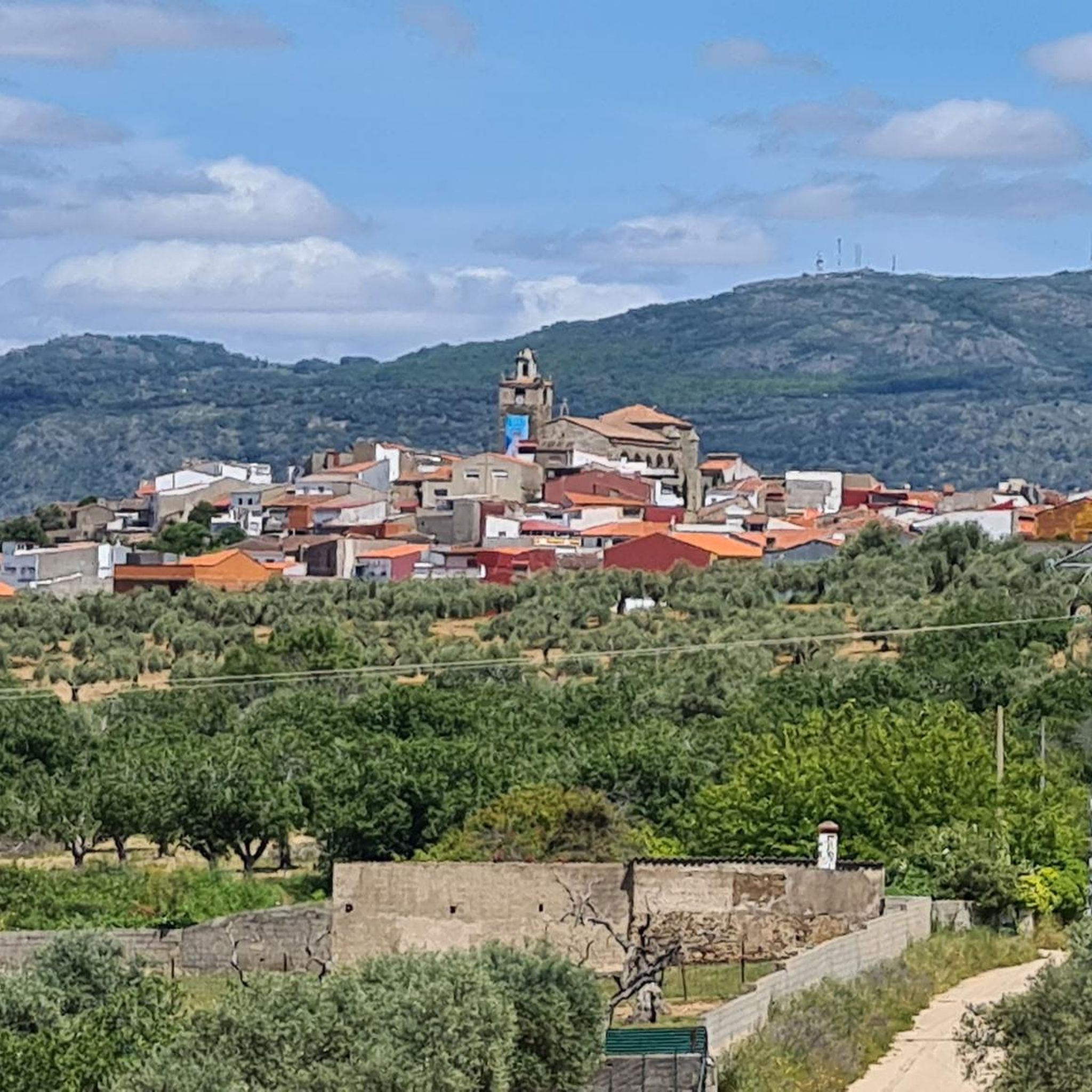
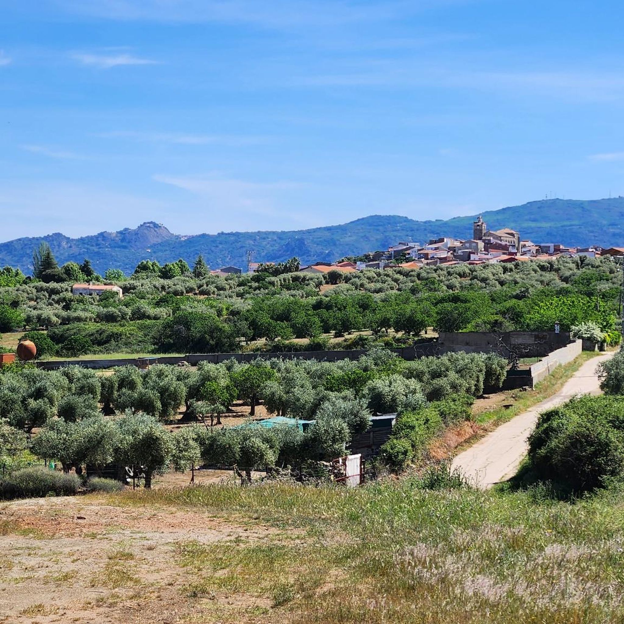
Arroyomolinos is a small town in the Montánchez region, founded around the year 1228 by order of King Alfonso IX on a prehistoric settlement. Stop for a coffee along the way and admire the splendid Church of Nuestra Señora de la Consolación.
1
1
Frequently Asked Questions
What kind of terrain and elevation can I expect on road cycling routes around Arroyomolinos?
Road cycling routes in Arroyomolinos traverse a diverse landscape. You'll find a mix of pine forests, holm oak groves, and riverside vegetation, particularly along the Guadarrama River. Elevations are generally moderate, but some routes offer significant climbs, such as the challenging 2 km 'Mortirolo' of Batres, known for its average gradient of four percent. Many routes feature mostly paved surfaces, ideal for road cycling.
Are there many road cycling routes available in Arroyomolinos?
Yes, Arroyomolinos is a recognized hub for cyclists, offering a wide array of routes. There are over 160 cycling routes in and around the area, catering to various skill levels from easy rides to those requiring good or very good fitness.
What are the best times of year for road cycling in Arroyomolinos?
The best months for road cycling in Arroyomolinos are typically May and October. During these periods, the weather is generally most favorable for outdoor activities, offering comfortable temperatures for longer rides.
Are there any notable landmarks or natural features to see while road cycling in Arroyomolinos?
Absolutely. The region is rich in both natural beauty and historical sites. You can encounter the protected natural spaces of the Regional Park of the Middle Course of the Guadarrama River, with its diverse ecosystems. Historical landmarks include the restored 15th-century Montánchez Castle, the Cornalvo Dam, and the Cornalvo Reservoir. The Ruta de los Molinos also offers picturesque scenery and archaeological remains of medieval Mudejar-style mills.
What do other road cyclists enjoy most about road cycling in Arroyomolinos?
The road cycling routes around Arroyomolinos are highly rated by the komoot community, with an average score of 5.0 stars from more than 10 reviews. Cyclists often praise the varied terrain, the integration of historical sites, and the natural beauty of the protected areas, making for a rewarding experience.
Are there any challenging road cycling routes for experienced riders?
Yes, Arroyomolinos offers several challenging routes. For instance, the Cancho Blanco and Montánchez Climbs Loop is a difficult 77.9 km trail featuring significant elevation gain. Another demanding option is the Montánchez Castle – Plaza de España, Montánchez loop from Almoharín, a 62.3 km route with over 1000 meters of ascent.
Can I find circular road cycling routes in the area?
Yes, many road cycling routes in Arroyomolinos are designed as loops. For example, the Casas de Don Antonio y Albalá desde Alcuéscar – circular por Castillo de Montánchez offers a balanced 51.0 km circular ride through the regional landscape. Another option is the View of Montánchez Castle – Montánchez Castle loop from Almoharín, a 63 km difficult loop.
What kind of wildlife might I encounter while cycling in the Regional Park of the Middle Course of the Guadarrama River?
The Regional Park of the Middle Course of the Guadarrama River and its Surroundings is a valuable ecological corridor. While cycling through this protected area, you might spot various fauna, including wild boar, partridges, rabbits, and a wide array of birds, such as the elegant Red Kite and various nocturnal raptors.
Are there any historical sites accessible by road bike?
Yes, several routes pass by or near historical sites. The Montánchez Castle – Montánchez Castle loop from Almoharín, for instance, leads through areas with historical significance. You can also find the restored 15th-century Torreón de Arroyomolinos and the Cordel de Arroyomolinos, which features archaeological remains of medieval Mudejar-style mills.
Are there any moderate difficulty road cycling routes suitable for intermediate riders?
Yes, there are several moderate routes. The Casas de Don Antonio y Albalá desde Alcuéscar – circular por Castillo de Montánchez is a 51.0 km path offering a balanced ride through the regional landscape, ideal for intermediate cyclists.
Are there any routes that feature unique bridges or structures?
Yes, the region includes interesting structures. The Iron Bridge of Móstoles, a former narrow-gauge railway bridge now exclusively for cyclists and pedestrians, is a notable landmark that can be incorporated into rides, offering passage over the Guadarrama River.
Most popular routes around Arroyomolinos
Most popular attractions around Arroyomolinos

Get inspired with the komoot mobile app


Explore more
Browse the best Road cycling routes in other regions.
