The best walks and hikes around Arroyomolinos
4.6
(189)
685
hikers
45
hikes
Hiking around Arroyomolinos, located southwest of Madrid, offers access to diverse natural landscapes largely integrated into the Regional Park of the Middle Course of the Guadarrama River. The area features a mosaic of pine forests, holm oak forests, scrubland, and riparian vegetation along streams like the Arroyo de los Combos. Over 50% of the municipality consists of protected natural spaces, providing a well-preserved environment for outdoor activities. This region offers varied scenery and habitats for flora and fauna, making it suitable for different hiking experiences.
Best hiking trails around Arroyomolinos
- The most popular hiking route is La Senda Mágica, an easy 0.9 miles (1.5 km) trail along the Arroyo de Arroyomolinos, featuring whimsical wooden sculptures and interactive elements.
- Another top favourite among local hikers is Montánchez Antennas Trail, a moderate 5.3 miles (8.6 km) path that leads to panoramic viewpoints with up to 930 feet (283 meters) of elevation gain.
- Local hikers also love the Route of the Mills Trail, an 8.2 miles (13.2 km) trail leading through diverse ecosystems, often completed in about 3 hours 56 minutes.
- Hiking around Arroyomolinos is defined by protected natural spaces, including pine and holm oak forests, and riparian zones along streams. The network offers options for different ability levels, from accessible family walks to longer routes within the regional park.
- The routes in Arroyomolinos are highly rated by the komoot community with an average score of 4.7 stars from over 160 reviews. More than 600 hikers have used komoot to explore Arroyomolinos's varied terrain.
Last updated: July 8, 2026
4.9
(28)
62
hikers
13.2km
03:56
410m
410m
Moderate hike. Good fitness required. Mostly accessible paths. Sure-footedness required.
5.0
(5)
18
hikers
11.8km
03:25
300m
300m
Moderate hike. Good fitness required. Mostly accessible paths. Sure-footedness required.

Sign up for free
5.0
(3)
9
hikers
8.58km
02:35
280m
280m
Moderate hike. Good fitness required. Easily-accessible paths. Suitable for all skill levels.
5.0
(9)
48
hikers
12.6km
03:52
350m
350m
Hard hike. Good fitness required. Sure-footedness, sturdy shoes and alpine experience required.
5.0
(2)
14
hikers
3.43km
00:58
70m
70m
Easy hike. Great for any fitness level. Easily-accessible paths. Suitable for all skill levels.
Get access to more routes and recommendations from other explorers.
Sign up for free
Already have an account?
Our route recommendations are based on thousands of hikes, rides, and runs completed by other people on komoot.
Start today with a free account
Your next adventure awaits.
Login or Signup

Tips from the Community

It is located atop a hill in the Sierra de Montánchez, also known as the "balcony of Extremadura," at an altitude of approximately 700–900 meters above sea level. Founded on the site of an earlier Roman fortress, its main structure dates back to the Caliphate period of the 9th century (Almohad era). It preserves three underground cisterns built between the 11th and 13th centuries. Captured around 1156–1230, it passed to the Order of Santiago after being granted by Alfonso XI. Walls, a keep, and defensive enclosures were added. 17th century: A hermitage and an interior pond were added. In 1620, it served as a prison for Don Rodrigo Calderón.
1
0

Beautiful route, even for children, preferably autumn, winter
1
0
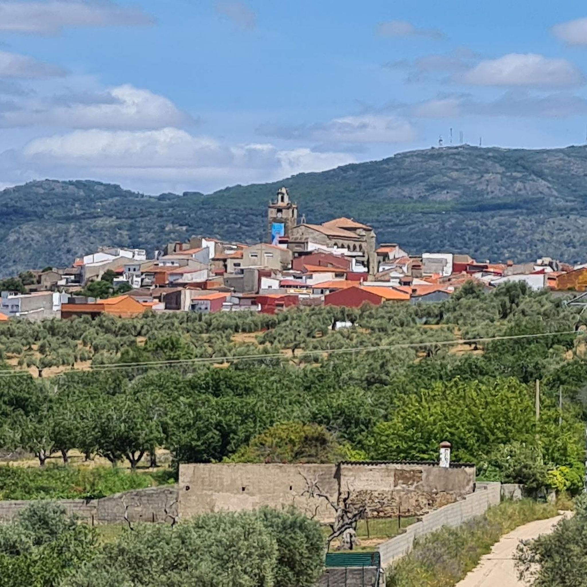
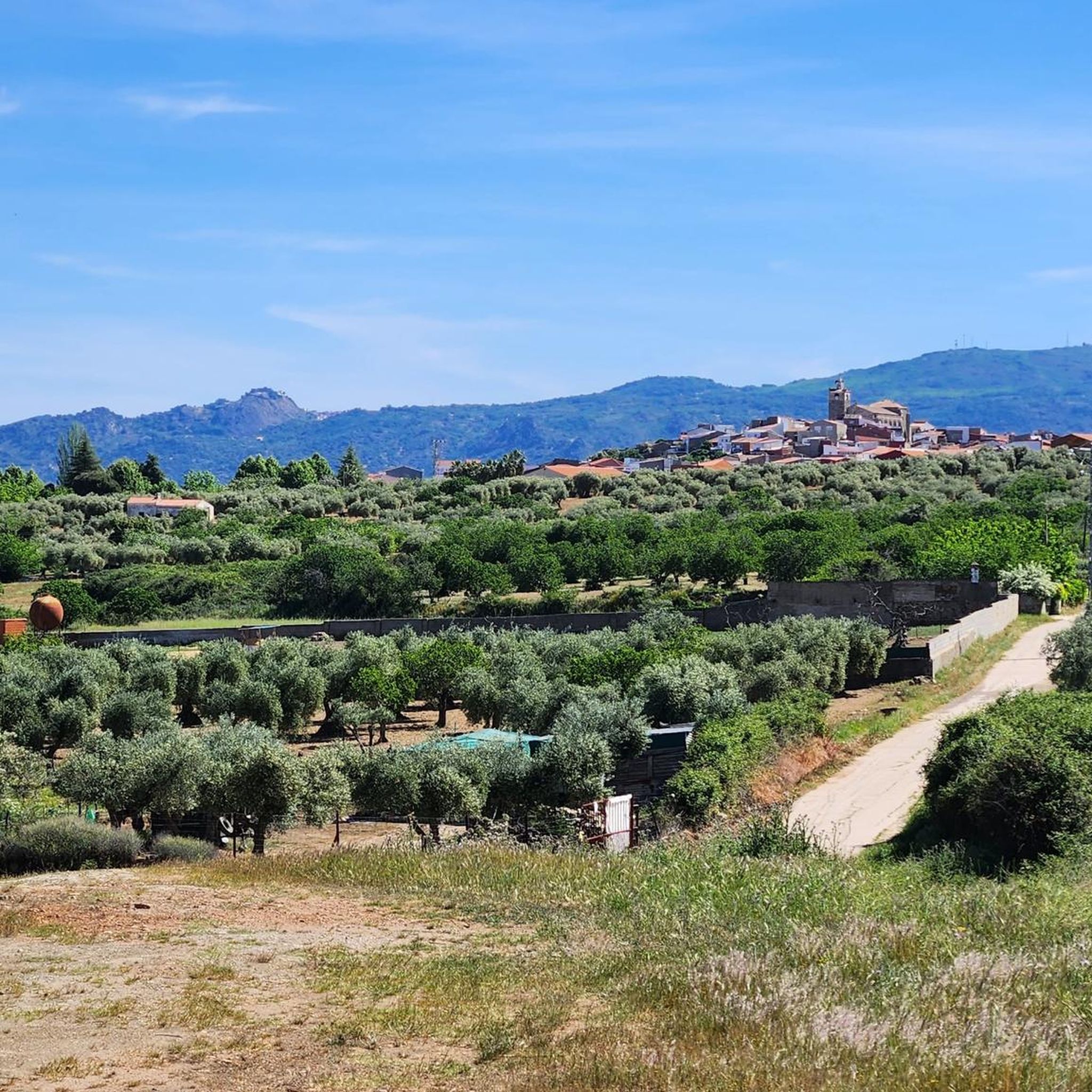
In Las Atalayas, a neighborhood road that leads to Ibahernado, there are spectacular views that allow us to see and enjoy our town and its beautiful mountains.
11
0
A magnificent place to see and hear how the water falls in this old mill that in its time offered us numerous advances and that is currently obsolete. It's in ruins; but it allows you to appreciate its wall, the waterfall and the building where said mill was located.
10
0

Spectacular located on a hill at the top of the town that has the same name as the castle, Montánchez. It is worth going through its walls, all of which are straight.
0
1

One of the jewels of Cáceres, the historic center of Montánchez is a must-see. Located on a fortified hill that dominates the slopes of the Tagus and the Guadiana dominated by the magnificent walled castle. Walking up towards the castle, you will be greeted by traditional narrow streets and medieval squares.
0
1

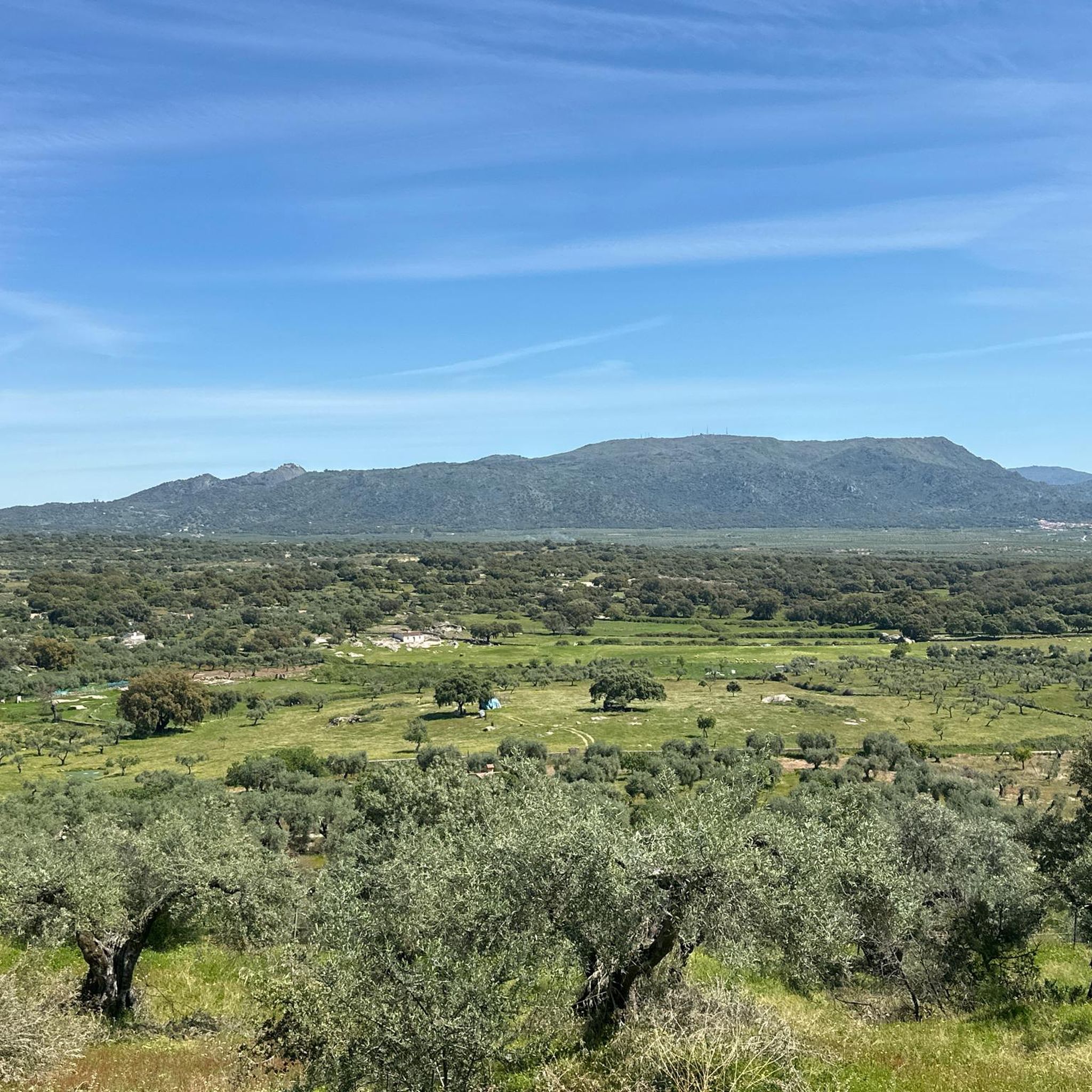
Cultivated fields that in spring are filled with flowers and a spectacular green.
0
1
One of the jewels of Cáseres, the historic center of Montánchez is a must-see. Located on a fortified hill that dominates the slopes of the Tagus and the Guadiana dominated by the magnificent walled castle. Walking up towards the castle, you will be greeted by traditional narrow streets and medieval squares.
1
1
Frequently Asked Questions
How many hiking trails are available in Arroyomolinos?
Arroyomolinos offers a wide variety of hiking experiences, with over 45 trails to explore. These routes cater to different skill levels, from easy walks to more challenging treks within the region's natural landscapes.
What makes hiking in Arroyomolinos unique?
Hiking in Arroyomolinos is unique due to its integration into the Regional Park of the Middle Course of the Guadarrama River and its Surroundings. This protected area features diverse ecosystems, including pine forests, holm oaks, and riparian vegetation along the Arroyo de los Combos, offering a rich natural backdrop for your adventures. Over 50% of the municipality consists of these protected natural spaces.
What is the best time of year to go hiking in Arroyomolinos?
Thanks to generally favorable climatic conditions, hiking in Arroyomolinos is enjoyable almost year-round. Spring and autumn offer pleasant temperatures and vibrant scenery, while cooler mornings in summer can still provide good hiking opportunities. Even in winter, many trails remain accessible.
Are there any regulations I should be aware of when hiking in the natural parks around Arroyomolinos?
Yes, as much of Arroyomolinos is within the Regional Park of the Middle Course of the Guadarrama River and part of the Natura 2000 network, it's important to respect the natural environment. This includes staying on marked paths, not disturbing wildlife, and taking all litter with you. Specific regulations regarding fires or camping should be observed, and information is often available at the park's interpretive centers or recreational areas.
Are there family-friendly hiking options in Arroyomolinos?
Absolutely. A particularly popular option for families is La Senda Mágica, an easy 1.5 km route along the Arroyo de Arroyomolinos. This path features whimsical wooden sculptures of magical creatures, interactive elements, and informative signs about local flora and fauna, making it an engaging experience for children. It's generally flat and accessible, even for strollers in many sections.
Are there easy hiking trails suitable for beginners in Arroyomolinos?
Yes, Arroyomolinos offers a good selection of easy trails perfect for beginners or those looking for a relaxed walk. Out of the over 45 routes available, 14 are classified as easy, providing accessible options to enjoy the natural beauty of the area without significant challenge.
Can I find circular hiking routes in Arroyomolinos?
Yes, there are several circular hiking routes available. For example, the Route of the Mills - circular through the Montánchez Chestnut Grove (PR-CC 27) is a moderate 13.2 km loop. Another option is the Castillo de Montánchez – circular by the Ruta de las Aguas (PR-CC 30), which is an 11.8 km moderate circular trail.
Are there any notable natural features or landmarks to see while hiking in Arroyomolinos?
Yes, the region is rich in natural features and historical landmarks. You can explore the diverse ecosystems of the Regional Park, including pine and holm oak forests, and riparian zones along streams like the Arroyo de los Combos. Nearby attractions include the historic Montánchez Castle, the impressive Cornalvo Dam, and the serene Cornalvo Reservoir, all offering scenic views and points of interest.
What do other hikers enjoy the most about hiking in Arroyomolinos?
The hiking routes in Arroyomolinos are highly rated by the komoot community, with an average score of 4.7 stars from over 150 reviews. Hikers often praise the diverse natural landscapes, the well-maintained paths, and the peaceful atmosphere found within the protected areas. The blend of accessible urban green spaces and immersion in the regional park is also frequently highlighted.
Are there any viewpoints along the hiking trails in Arroyomolinos?
Yes, some trails offer excellent viewpoints. For instance, the route to Mirador "el cancho que se menea" from Montánchez provides scenic vistas of the surrounding landscape. The diverse terrain within the Regional Park also means many paths will lead to elevated spots or clearings with panoramic views of the forests and river valleys.
Are the hiking trails in Arroyomolinos suitable for dogs?
While specific regulations for dogs can vary within the Regional Park, generally, dogs are welcome on many trails in Arroyomolinos, especially if kept on a leash. It's always recommended to check local signage or park guidelines for any specific restrictions, particularly in sensitive ecological areas, to ensure a pleasant experience for everyone and protect the local wildlife.
Are there any challenging hiking routes for experienced hikers in Arroyomolinos?
Yes, for those seeking a greater challenge, Arroyomolinos offers several more demanding routes. There are 6 trails classified as difficult, providing longer distances and more significant elevation changes. An example is the Montánchez Castle – Montánchez Castle loop from Montánchez, which covers over 12.5 km with substantial elevation gain.
Are there places to eat or drink near the hiking trails in Arroyomolinos?
Arroyomolinos is a developed municipality with urban areas, so you'll find various cafes, restaurants, and pubs within the town itself. While specific establishments might not be directly on every trail, many routes connect to or are easily accessible from the town center, where you can find options for refreshments before or after your hike.
What kind of wildlife can I expect to see while hiking in Arroyomolinos?
The diverse ecosystems of the Regional Park support a wide array of wildlife. You might spot various bird species like storks, swallows, and larks, as well as small mammals such as rabbits, hares, and hedgehogs. The riparian areas along streams are also home to amphibians and reptiles. The rich flora includes holm oaks, pine forests, and aromatic herbs like thyme and rosemary.
Most popular routes around Arroyomolinos
Most popular attractions around Arroyomolinos

Get inspired with the komoot mobile app


Explore more
Browse the best Hikes in other regions.
