The best running trails around Zarza De Granadilla
8
runners
6
runs
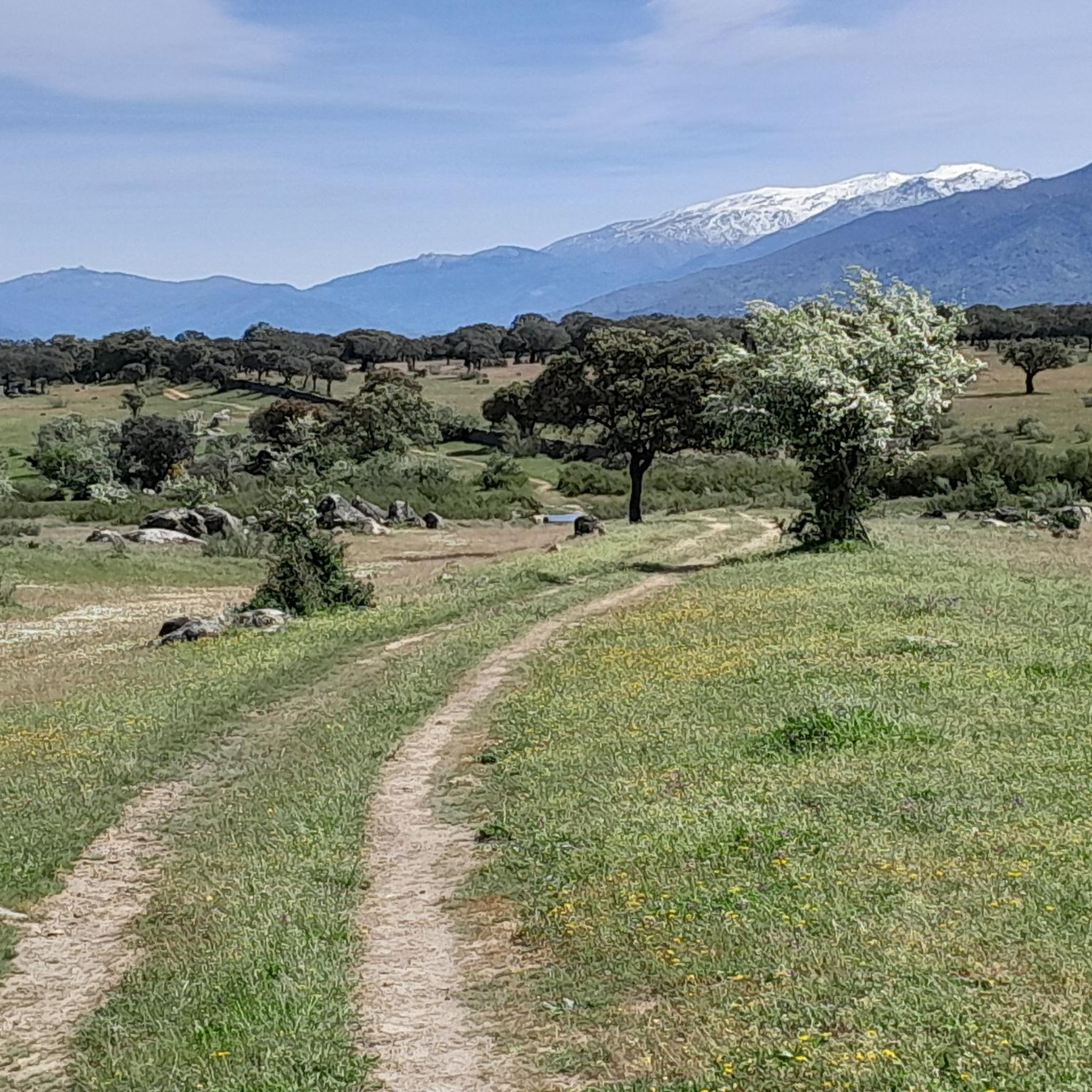
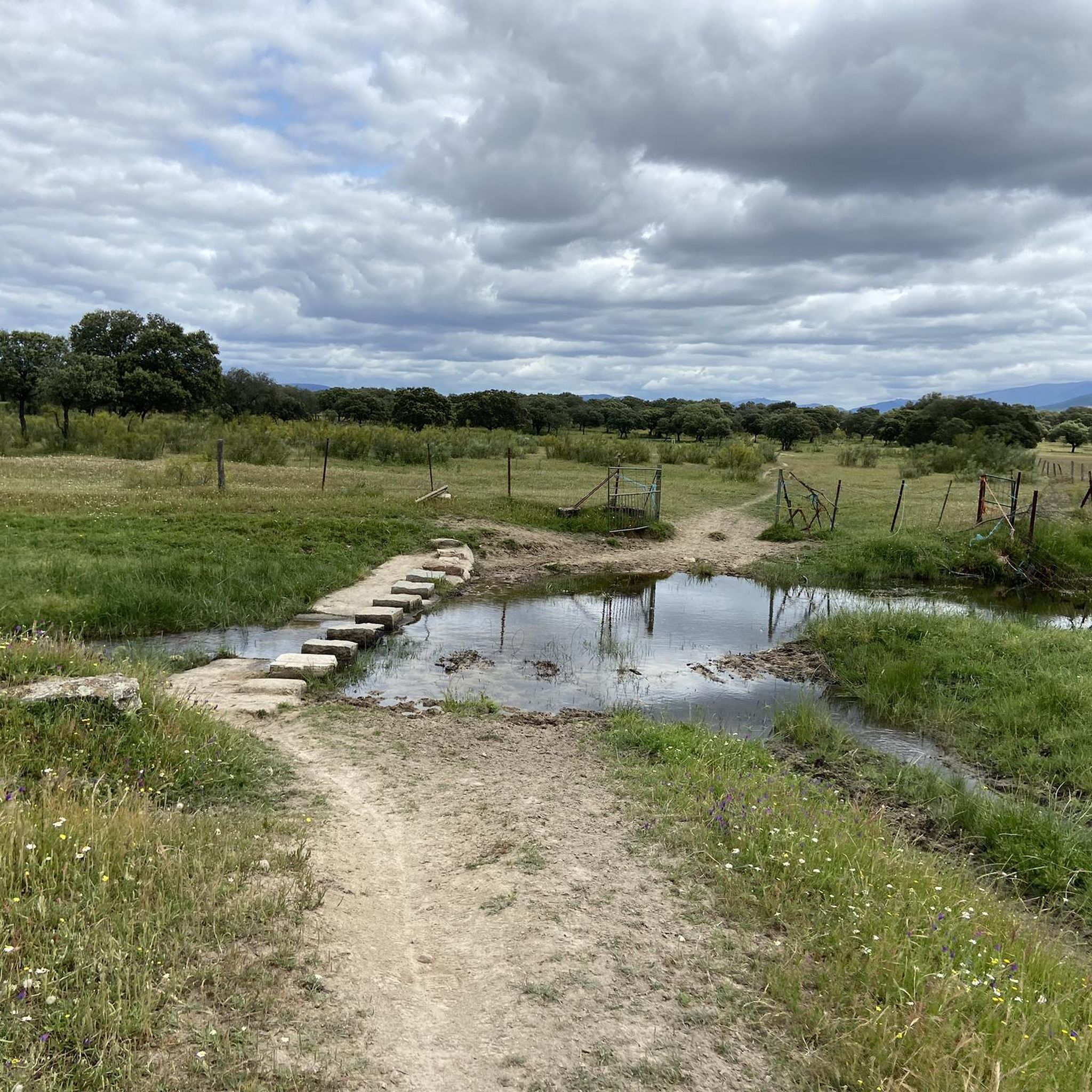
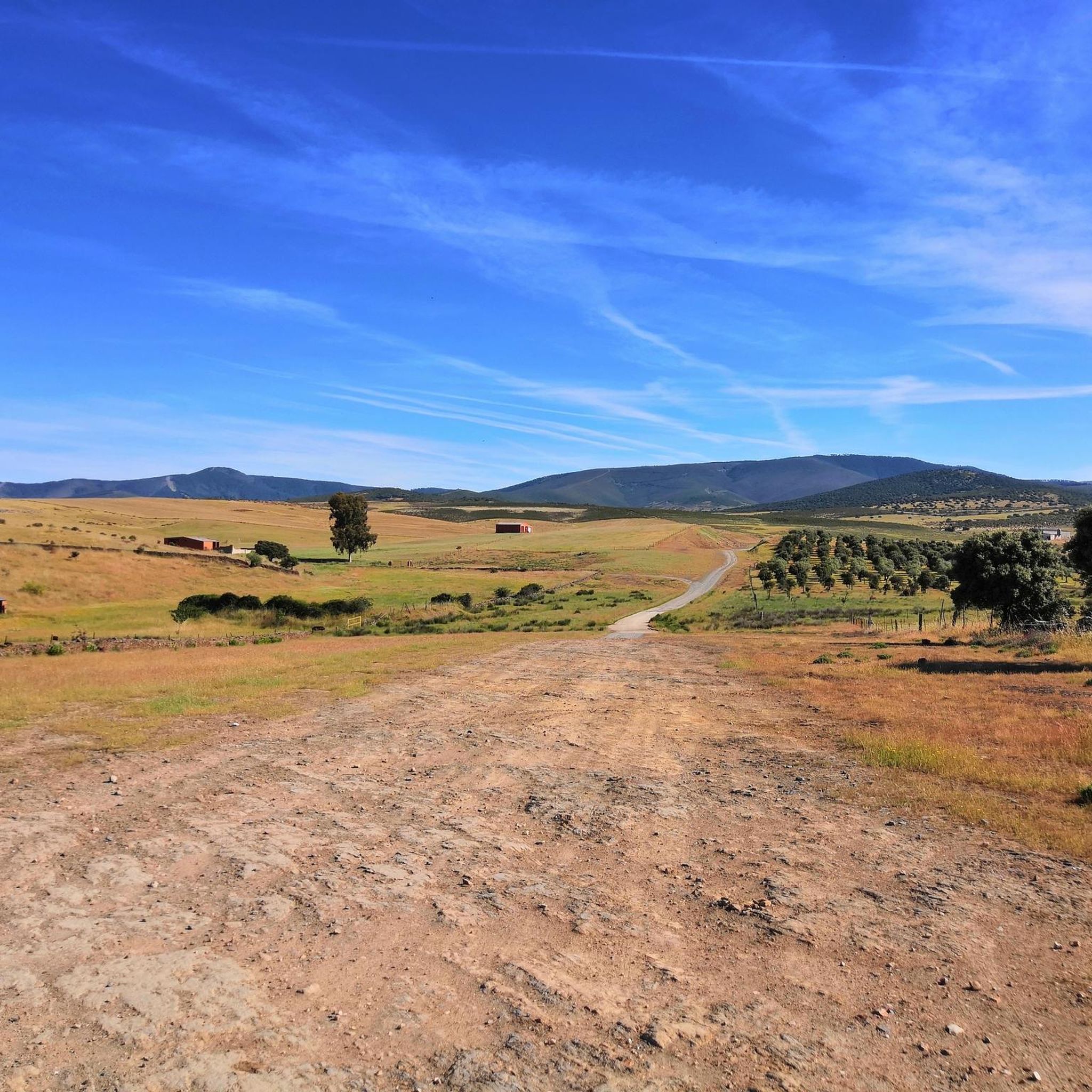
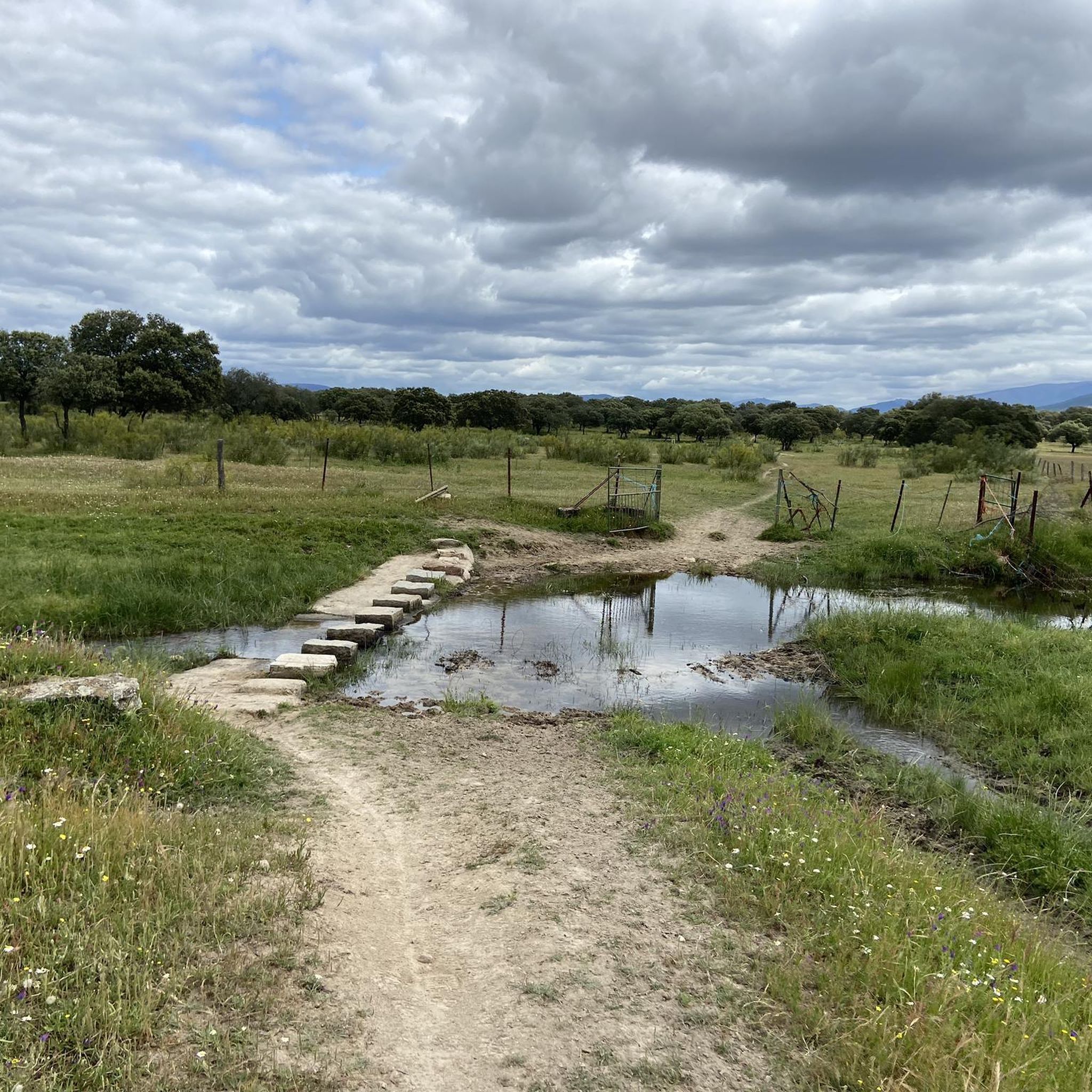
Jogging around Zarza De Granadilla offers diverse landscapes, including expansive dehesas, pine forests, and river valleys. The region is shaped by the presence of the Gabriel y Galán reservoir, providing varied terrain for running. Jogging routes often traverse areas recognized for their ecological importance within the Natura 2000 network. The confluence of the Alagón and Ambroz river valleys contributes to an engaging environment for runners.
Best jogging routes around Zarza De Granadilla
- The most popular jogging route is Mirador del…
Last updated: August 21, 2026
1
runners
12.6km
01:46
570m
580m
Hard run. Very good fitness required. Mostly accessible paths. Some sure footedness required.
13.2km
01:32
220m
220m
Jog the 8.2-mile (13.2 km) Pantano de las Tapias route along the Los Angeles River, a moderate trail with 729 feet (222 meters) of elevation

Sign up for free
5.26km
00:40
140m
140m
Moderate run. Good fitness required. Mostly paved surfaces. Suitable for all skill levels.
25.6km
03:27
760m
770m
A difficult 15.9-mile jogging route from Villar de Plasencia, offering panoramic views and ancient oaks in the Sierra del Gordo.
7
runners
Moderate run. Good fitness required. Mostly paved surfaces. Suitable for all skill levels.
Our route recommendations are based on thousands of hikes, rides, and runs completed by other people on komoot.
Start today with a free account
Your next adventure awaits.
Login or Signup
Tips from the Community

The Pantano de las Tapias is a reservoir located in Caminomorisco, in the province of Cáceres, Extremadura. This reservoir is located near the towns of El Lombo and Mesa Santa. It is an ideal place to enjoy nature and do outdoor activities such as hiking and fishing. One of the popular routes is the one that starts from La Pesga and reaches the reservoir, offering a route of approximately 10.8 km with spectacular views.
3
0
The Mirador en el Río de Los Ángeles is a lovely place to enjoy panoramic views of the natural surroundings. This viewpoint is located in the Las Hurdes region, in Extremadura, and offers a spectacular view of the river and the surrounding landscapes.
2
0
The Meandro del Melero is an impressive river formation located in the region of Las Hurdes, on the border between the provinces of Cáceres and Salamanca. This meander is created by the Alagón River, which forms a spectacular turn in its course, offering a unique panoramic view.
3
0
The Mirador Pico Blanco in La Pesga, Extremadura, is a spectacular place to enjoy panoramic views. Located at the highest point in the area, it offers stunning views to the north of Las Hurdes and to the south of the Gabriel y Galán reservoir, the lands of Granadilla and the abandoned town of Granadilla.
4
0

A small town located in the foothills of Montes tras Sierra and on the other hand it is located in the Llanos de la Jarilla.
0
0
To the north of the town of Plasencia we find this town, located in the Montes de Tras la Sierra, between the Jerte valley and the Ambroz valley, in a beautiful wooded area!
0
0
The Mirador del Castillo is located close to the Ermita de Nuestra Señora del Castillo, which is elevated above the rest of the town. From this vantage point, which is quite frequented, there are impressive views of the area.
0
0

Full of water it is spectacular, so before going I would check how the Alagón is with water.
1
0
Frequently Asked Questions
What kind of terrain can I expect on running routes around Zarza de Granadilla?
The region offers a diverse landscape for runners, characterized by expansive dehesas (Mediterranean woodlands), dense pine forests, and scenic river valleys. You'll find routes traversing areas around the Gabriel y Galán reservoir, as well as the confluence of the Alagón and Ambroz river valleys. The topography ranges from challenging mountainous sections in the Sistema Central and Sierra de Gredos foothills to gentler paths in the valleys.
Are there any challenging running routes for experienced athletes?
Yes, Zarza de Granadilla features several challenging routes. For instance, the Mirador del Pico Blanco – circular from La Pesga is a difficult 12.6 km trail with significant elevation gain, perfect for those seeking an intense workout and stunning views. Another demanding option is the Sierra del Gordo, Montes tras la Sierra y Cabezabellosa — circular desde Villar de Plasencia, which covers over 25 km with substantial ascents.
Can I find running paths with scenic viewpoints in the area?
Absolutely. The region is known for its breathtaking vistas. The Mirador del Pico Blanco – circular from La Pesga route leads to the notable Pico Blanco Viewpoint, offering rewarding panoramic views. Additionally, the Mirador del Castillo from Cabezabellosa — circular provides excellent vantage points around Cabezabellosa.
Are there any running routes that follow rivers or pass by water bodies?
Yes, several routes incorporate the region's prominent water features. The Pantano de las Tapias – running by the Los Angeles river is a moderate 13.2 km path that follows the Los Angeles river, offering beautiful riverside scenery and views of the Presa de las Tapias. The Gabriel y Galán reservoir also defines many routes in the area.
What historical landmarks or attractions can I see while running in Zarza de Granadilla?
The region is rich in history. You can encounter ancient sites like the Arco de Cáparra, the only quadriform Roman triumphal arch preserved in Spain. The abandoned village of Granadilla, surrounded by a wall and the Gabriel y Galán reservoir, also offers a unique setting for a run, with its castle providing beautiful views.
Are there any circular running routes available?
Yes, many of the running routes in Zarza de Granadilla are circular, allowing you to start and finish at the same point. Examples include the Mirador del Pico Blanco – circular from La Pesga and the Mirador del Castillo from Cabezabellosa — circular.
What is the best time of year for running in Zarza de Granadilla?
The region's climate makes it suitable for outdoor activities for much of the year. Spring and autumn generally offer the most pleasant temperatures for running, with lush landscapes and comfortable conditions. Summers can be hot, especially at midday, so early morning or late evening runs are advisable. Winters are typically mild, making it possible to run year-round, though some higher elevation routes might be cooler.
Are there any natural pools or places for a refreshing dip near the running trails?
Yes, the region features natural pools that can be a welcome sight after a run. The Charco de la Olla Natural Pool in Las Mestas is a notable spot where you can cool off. Some routes, like the View of Meandro del Melero – Alagón River loop from Piscina Natural de Riomalo, start near natural swimming areas.
Are the running routes in Zarza de Granadilla suitable for families?
While the guide primarily features moderate to difficult routes, the diverse topography of Zarza de Granadilla means there are also flatter areas and gentler paths, particularly in the dehesas and valleys, which can be suitable for families looking for a less strenuous walk or jog. It's always recommended to check the route's difficulty and length before heading out with children.
Is it possible to bring my dog on the running trails?
Generally, many outdoor trails in Spain are dog-friendly, especially in natural areas like those around Zarza de Granadilla. However, it's always best to keep your dog on a leash, especially in areas with livestock or wildlife, and to check for any specific local regulations or protected areas that might have restrictions. Always carry water for your dog and clean up after them.
What kind of wildlife might I encounter on the trails?
The region's diverse ecosystems, including the nearby Monfragüe National Park, mean you might encounter a variety of wildlife. This includes various bird species, especially raptors, as well as mammals like deer and wild boar. The dehesas are also home to unique flora and fauna. Observing wildlife from a distance adds to the natural experience of running here.
How many running routes are available in Zarza de Granadilla?
There are at least 5 dedicated running routes detailed for Zarza de Granadilla, ranging from moderate to difficult. These routes are designed to showcase the best of the region's landscape and cater to various fitness levels.
Most popular routes around Zarza De Granadilla
Most popular attractions around Zarza De Granadilla

Get inspired with the komoot mobile app


Explore more
Browse the best Running Trails & Routes in other regions.
