The best walks and hikes around Zarza De Granadilla
4.7
(31)
226
hikers
24
hikes
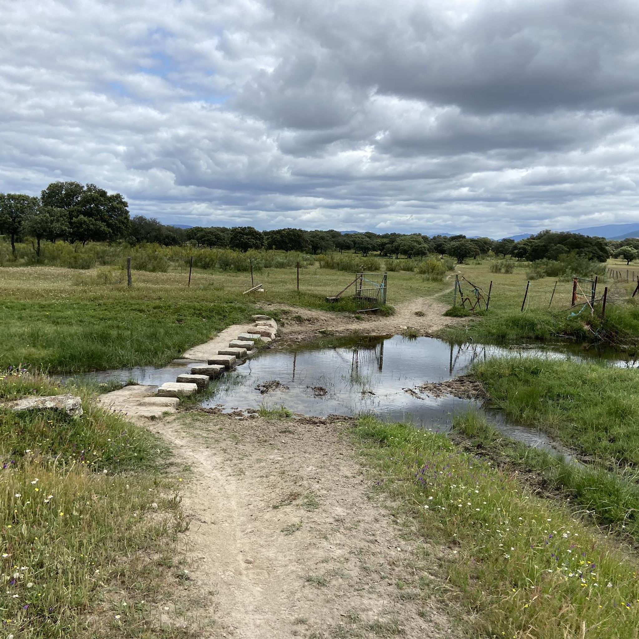
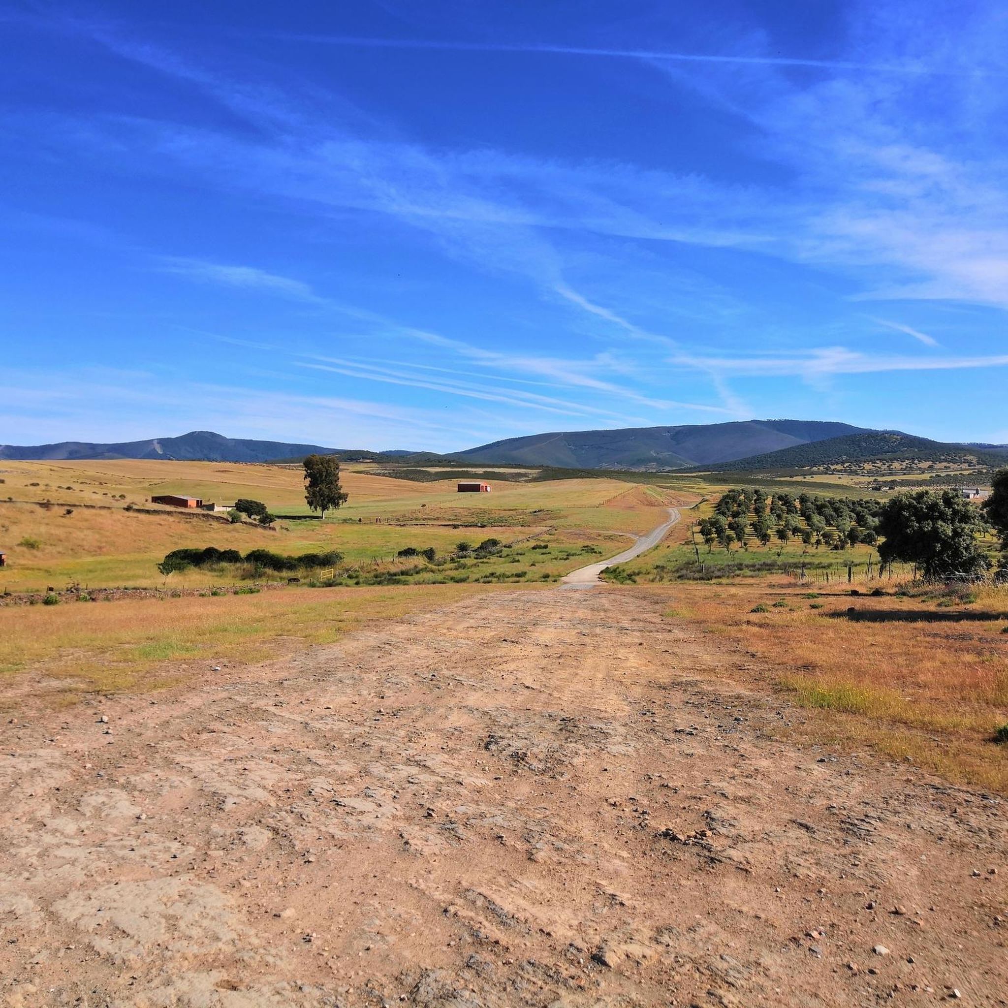
Hiking around Zarza De Granadilla offers diverse landscapes shaped by the Gabriel y Galán Reservoir, which dominates much of the scenery. The region features extensive pine forests and varied terrain, including mountains and hills characteristic of the Tierras de Granadilla. These natural features provide a backdrop for numerous hiking trails, ranging from easy to challenging.
Best hiking trails around Zarza De Granadilla
- The most popular hiking route is Castle Viewpoint of Cabezabellosa from Jarilla, a 8.0 miles (12.9 km)…
Last updated: August 19, 2026
1
hikers
12.9km
03:51
400m
400m
Moderate hike. Good fitness required. Mostly accessible paths. Sure-footedness required.
5.0
(1)
2
hikers
10.8km
02:59
180m
180m
Moderate hike. Good fitness required. Easily-accessible paths. Suitable for all skill levels.

Sign up for free
8.76km
03:04
500m
500m
Moderate hike. Good fitness required. Mostly accessible paths. Sure-footedness required.
4.4
(14)
80
hikers
Moderate hike. Good fitness required. Easily-accessible paths. Suitable for all skill levels.
4.3
(7)
60
hikers
Easy hike. Great for any fitness level. Easily-accessible paths. Suitable for all skill levels.
Get access to more routes and recommendations from other explorers.
Sign up for free
Already have an account?
Our route recommendations are based on thousands of hikes, rides, and runs completed by other people on komoot.
Start today with a free account
Your next adventure awaits.
Login or Signup
Tips from the Community

The Pantano de las Tapias is a reservoir located in Caminomorisco, in the province of Cáceres, Extremadura. This reservoir is located near the towns of El Lombo and Mesa Santa. It is an ideal place to enjoy nature and do outdoor activities such as hiking and fishing. One of the popular routes is the one that starts from La Pesga and reaches the reservoir, offering a route of approximately 10.8 km with spectacular views.
3
0
The Meandro del Melero is an impressive river formation located in the region of Las Hurdes, on the border between the provinces of Cáceres and Salamanca. This meander is created by the Alagón River, which forms a spectacular turn in its course, offering a unique panoramic view.
3
0
The Mirador Pico Blanco in La Pesga, Extremadura, is a spectacular place to enjoy panoramic views. Located at the highest point in the area, it offers stunning views to the north of Las Hurdes and to the south of the Gabriel y Galán reservoir, the lands of Granadilla and the abandoned town of Granadilla.
4
0

Milestone that marks 'The Mozárabe Way' between Galisteo and Riomalo below.
1
0
Long before reaching the viewpoint, we can already have impressive views. From the last parking lot to the viewpoint, there is a gentle climb along the road for almost two kilometers.
1
0
Spectacular views of the Melero Meander. You can access the same viewpoint with a wheelchair and baby strollers via a wooden ramp that zigzags down the slope.
1
0

Full of water it is spectacular, so before going I would check how the Alagón is with water.
1
0

One of the most beautiful landscapes in the provinces of Castilla y León and Extremadura (the meander of the Alagón River forms part of the border between the provinces). It is recommended to visit when there is enough water in the river. What we see is Isla de Romerosa formed by the meander of the Alagón river - a jewel of nature!
2
1
Frequently Asked Questions
How many hiking trails are available around Zarza De Granadilla?
There are over 20 hiking trails around Zarza De Granadilla, offering a variety of experiences. These routes are highly rated by the komoot community, with an average score of 4.8 stars.
What types of terrain can I expect on hikes in this region?
The region is characterized by diverse landscapes, including extensive pine forests and varied terrain with mountains and hills. The vast Gabriel y Galán Reservoir also shapes much of the scenery, providing picturesque backdrops for many trails.
Are there any easy hiking trails suitable for beginners or families?
Yes, there are 8 easy routes available. A great option is the Melero Meander Viewpoint – View of the Melero Meander loop from Vega Ronda, which is an easy 3.5 km loop offering stunning views of the dramatic river bend.
Where can I find the best viewpoints in Zarza De Granadilla?
For breathtaking panoramic views, consider the Viewpoint of Pico Blanco from La Pesga, which offers stunning vistas of the Las Hurdes region and the Gabriel y Galán reservoir. Another must-see is the View of Meandro del Melero, a dramatic river bend with accessible ramps.
Are there any historical sites or landmarks to explore while hiking?
Absolutely. The remarkably preserved medieval walled town of Granadilla, just 11 kilometers from Zarza de Granadilla, is a significant historical site. You can explore its ancient gates, walls, and climb the Granadilla Castle for unparalleled views of the reservoir. Other notable historical features include the Arco de Cáparra and the Roman Arch of Cáparra.
What is the best time of year to go hiking in Zarza De Granadilla?
Autumn and winter are particularly special for nature observation, as cranes return to the banks of the Gabriel y Galán Reservoir. The region's diverse landscapes are enjoyable throughout much of the year, but always check local weather conditions before heading out.
Are there any circular hiking routes available?
Yes, several routes offer circular paths. For example, the View of the Alagón River – Melero Meander Viewpoint loop from Piscina Natural de Riomalo is a moderate circular trail that provides spectacular views of the Meandro del Melero.
What kind of wildlife can I expect to see?
The pine forests in the region serve as a vital habitat for wildlife. The area is also home to a captive breeding center for the Iberian lynx, and the Iberian Lynx Awareness Centre in Zarza de Granadilla offers insights into the local natural environment.
Are there any trails that lead to a dam or reservoir?
Yes, the Tapias Dam Trail from La Pesga is a moderate 10.8 km path that explores the scenic Las Hurdes region and its reservoir, offering views of the Presa de las Tapias.
What do other hikers enjoy most about hiking in Zarza De Granadilla?
The area is highly rated by the komoot community, with an average score of 4.8 stars from over 20 reviews. Hikers often praise the diverse landscapes shaped by the Gabriel y Galán Reservoir, the extensive pine forests, and the variety of trails catering to different difficulty levels.
Are there any natural swimming spots or water features along the trails?
While not explicitly along every trail, the Riomalo Natural Pool is a notable water feature in the area, offering a refreshing spot to visit. The Gabriel y Galán Reservoir itself is a dominant natural feature, providing scenic views.
Most popular routes around Zarza De Granadilla
Most popular attractions around Zarza De Granadilla

Get inspired with the komoot mobile app


Explore more
Browse the best Hikes in other regions.
