The best road cycling routes around Torreorgaz
5.0
(12)
319
riders
5
rides
Road cycling around Torreorgaz offers diverse terrain within the Cáceres peneplain, characterized by undulating sections and granitic outcrops. The region provides a mix of relatively flat roads and opportunities for climbs in nearby "puertos" or mountain passes. Roads in the broader Extremadura area are often smooth, contributing to an enjoyable cycling experience. This landscape, shaped by millions of years of erosion, presents varied challenges for road cyclists.
Best road cycling routes around Torreorgaz
- The most popular road cycling route is…
Last updated: May 17, 2026
5.0
(1)
31
riders
Moderate road ride. Good fitness required. Some segments of this route may be unpaved and difficult to ride.
5.0
(1)
18
riders
42.1km
02:01
240m
240m
Moderate road ride. Good fitness required. Some segments of this route may be unpaved and difficult to ride.

Sign up for free
5.0
(2)
5
riders
55.9km
02:42
590m
590m
Moderate road ride. Good fitness required. Mostly well-paved surfaces and easy to ride.
7
riders
16.5km
00:40
110m
100m
Easy road ride. Great for any fitness level. Mostly well-paved surfaces and easy to ride.
6
riders
62.9km
02:58
730m
730m
Moderate road ride. Good fitness required. Mostly well-paved surfaces and easy to ride.
Our route recommendations are based on thousands of hikes, rides, and runs completed by other people on komoot.
Start today with a free account
Your next adventure awaits.
Login or Signup
Tips from the Community

Nice gentle climb and one of the longest in Montanchez
0
1

This square is legally protected as an Asset of Cultural Interest (BIC) and is within the catalog of protected assets of the Cáceres city council. Its neo-Mudejar architecture and rich history make it an emblematic place for lovers of bullfighting and culture.
8
0

A beautiful stretch with very little traffic that always goes upwards.
0
0
The peculiar structure of this bullring testifies to its historical past, which has earned it being declared a Site of Cultural Interest. The Cáceres Bullring, also known as “Coso de la Era de los Mártires”, is one of the oldest in Spain. Its construction began in 1844 and the works were completed two years later. The first bullfight was held on August 6, 1846, with bulls led by D. Gaspar Muñoz. The square is built with granite and masonry walls, it has a capacity of 8,000 spectators spread over three floors. In addition to bullfighting celebrations, it is also used for other types of events such as music concerts.
16
0
The peculiar structure of this bullring testifies to its historical past, which has earned it being declared a Site of Cultural Interest. The Cáceres Bullring, also known as “Coso de la Era de los Mártires”, is one of the oldest in Spain. Its construction began in 1844 and the works were completed two years later. The first bullfight was held on August 6, 1846, with bulls led by D. Gaspar Muñoz. The square is built with granite and masonry walls, it has a capacity of 8,000 spectators spread over three floors. In addition to bullfighting celebrations, it is also used for other types of events such as music concerts.
14
0

This viewpoint is also called Mirador de la Ronda Sureste. If you run by here, it is worth stopping for a moment to enjoy the views of the historic center of the city. The information panel it has is very complete.
0
1

Perfect for connecting with network paths
0
1

A small town 11 km from the capital of the province. Among its heritage, the new church of Nuestra Señora de la Asunción, in Gothic style, stands out.
0
1
Frequently Asked Questions
What kind of terrain can I expect when road cycling around Torreorgaz?
The region around Torreorgaz is characterized by an undulating peneplain with granitic and slate outcrops. This means you'll find a mix of relatively flat sections and gentle climbs, offering varied challenges for road cyclists. The broader Extremadura region is known for its smooth roads, ensuring an enjoyable cycling experience.
Are there easy road cycling routes suitable for beginners in Torreorgaz?
Yes, Torreorgaz offers routes suitable for various ability levels, including easy options. For instance, the Sierra de Fuentes loop from Sierra de Fuentes is an easy 16.4 km route with moderate elevation gain, perfect for beginners or those seeking a relaxed ride.
What natural features or landmarks can I see while road cycling near Torreorgaz?
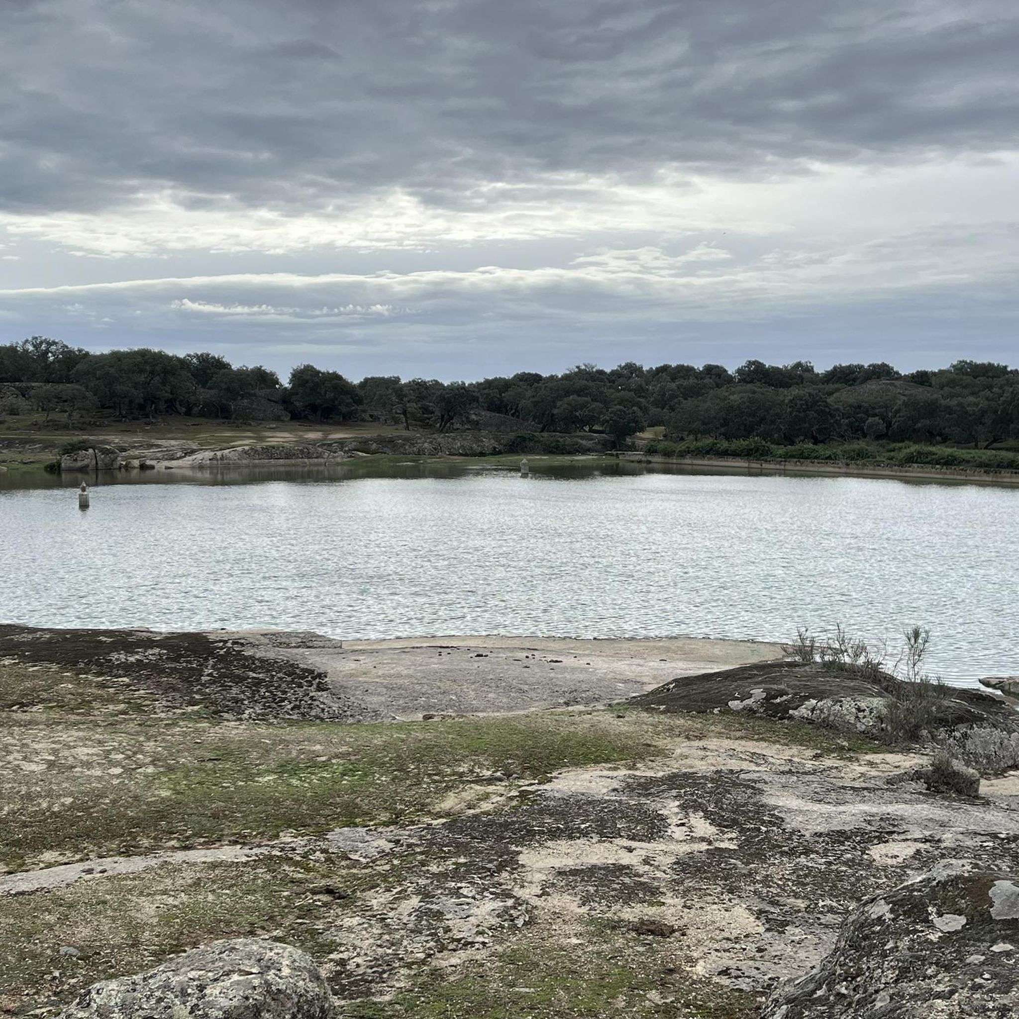
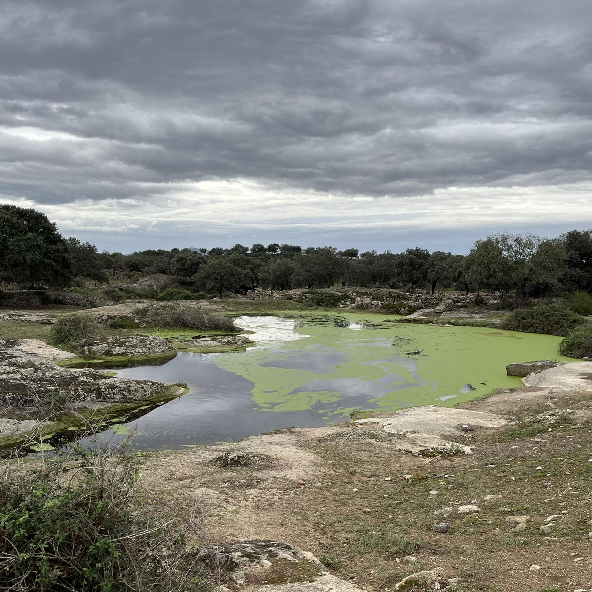
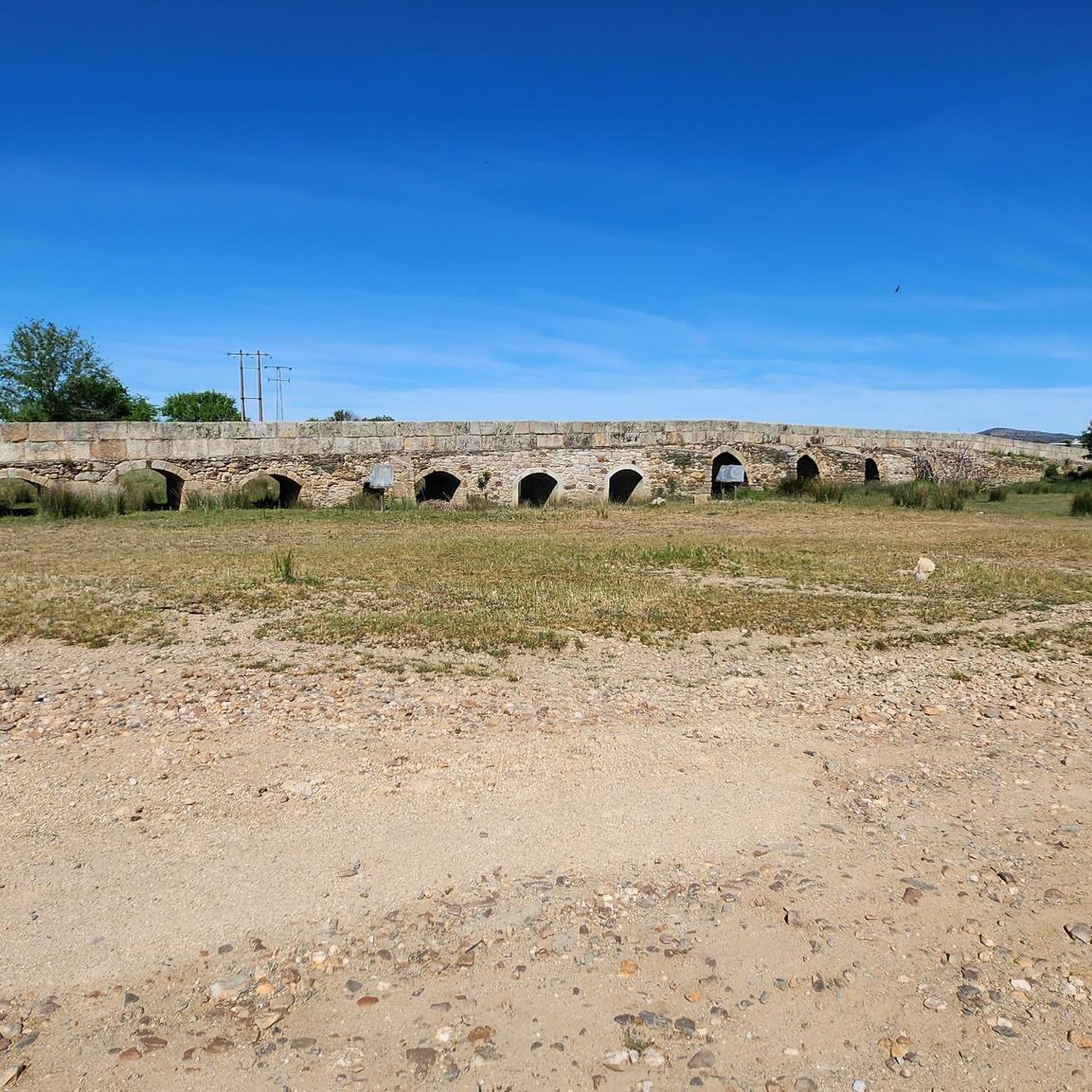
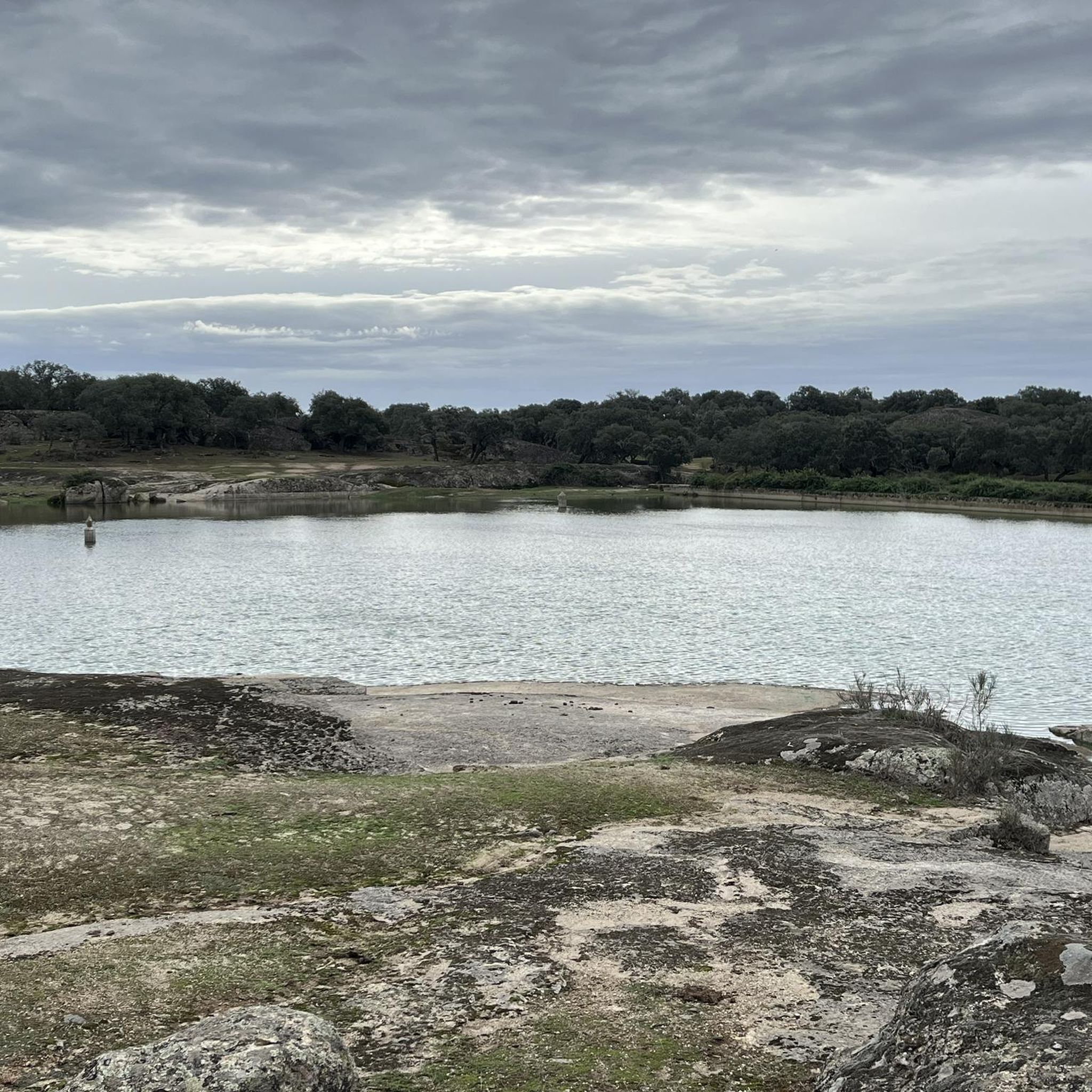
Road cycling routes around Torreorgaz often pass by notable natural and historical features. You might encounter water features like Charca del Prado or the Embalse del Salor. Historical landmarks such as the ancient Puente Mocha (also known as Puente Viejo de la Mocha) are also accessible, adding scenic beauty and points of interest to your ride.
Are there any historical sites accessible by road bike around Torreorgaz?
Absolutely. The region is rich in history. You can cycle past historical structures like the Castillo de Las Arguijuelas de Abajo. Additionally, routes like the Montánchez Castle – Plaza de España, Montánchez loop from Aldea del Cano lead through areas with historical structures, offering a glimpse into the local heritage.
What is the best time of year for road cycling in Torreorgaz?
The region's climate makes spring and autumn ideal for road cycling, offering pleasant temperatures. Summers can be quite hot, while winters are generally mild. Checking the local weather forecast before your ride is always recommended to ensure comfortable conditions.
Are there circular road cycling routes available in Torreorgaz?
Yes, many of the road cycling routes around Torreorgaz are designed as loops, allowing you to start and end in the same location. Examples include the popular Parque del Príncipe – Sierra de Fuentes loop from Sierra de Fuentes and the Prehistoric Park loop from Torreorgaz.
What do other road cyclists enjoy most about road cycling in Torreorgaz?
The road cycling routes in Torreorgaz are highly rated by the komoot community, with an average score of 5.0 stars. Cyclists often praise the varied terrain, which includes both flat sections and undulating climbs, as well as the smooth regional roads that make for an enjoyable ride. The accessibility to natural features and historical sites also adds to the appeal.
Where can I find parking when starting a road cycling route in Torreorgaz?
While specific parking areas for cyclists are not explicitly detailed, Torreorgaz is a municipality with typical infrastructure. You can generally find parking in or near the starting points of routes within the town or nearby villages like Sierra de Fuentes or Aldea del Cano, which serve as common departure points for these cycling tours.
Are there any longer road cycling routes for experienced cyclists near Torreorgaz?
For experienced cyclists seeking longer distances and more elevation, routes like the View of Montánchez Castle – Montánchez Castle loop from Aldea del Cano offer a significant challenge. This route covers over 63 km with substantial elevation gain, providing a demanding yet rewarding experience through the region's undulating landscape.
What is the typical elevation gain on road cycling routes around Torreorgaz?
The elevation gain varies depending on the route. While the immediate area is a peneplain, the undulating terrain means most routes involve some climbing. For example, a moderate route like the Parque del Príncipe – Sierra de Fuentes loop from Sierra de Fuentes has over 330 meters of elevation gain, while longer routes can feature significantly more.
Can I access road cycling routes in Torreorgaz using public transport with my bike?
While specific public transport options for bikes are not detailed, Torreorgaz is a well-connected municipality in Extremadura. It's advisable to check local bus services (e.g., from Cáceres) for their bike transport policies, as regional buses sometimes accommodate bicycles, especially outside peak hours. This would allow you to reach starting points without a car.
Are there cafes or places to stop for refreshments along the road cycling routes?
Many road cycling routes in the region pass through or near small towns and villages, including Torreorgaz itself, Sierra de Fuentes, and Aldea del Cano. These locations typically offer local cafes, bars, or small shops where you can stop for refreshments, water, or a quick meal, making it convenient to refuel during your ride.
Most popular attractions around Torreorgaz

Get inspired with the komoot mobile app


Explore more
Browse the best Road cycling routes in other regions.
