The best road cycling routes around Navas Del Madroño
5.0
(3)
420
riders
11
rides
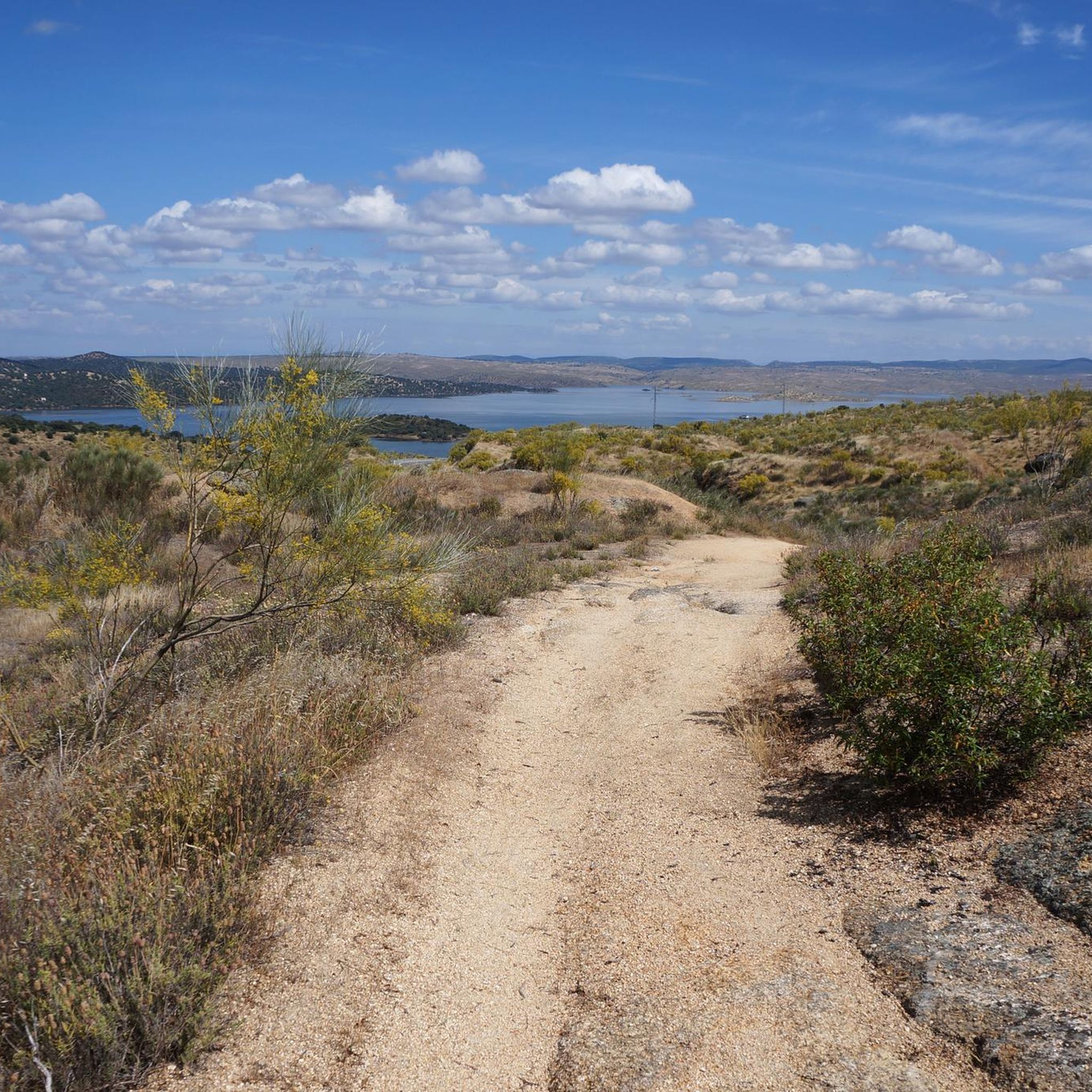
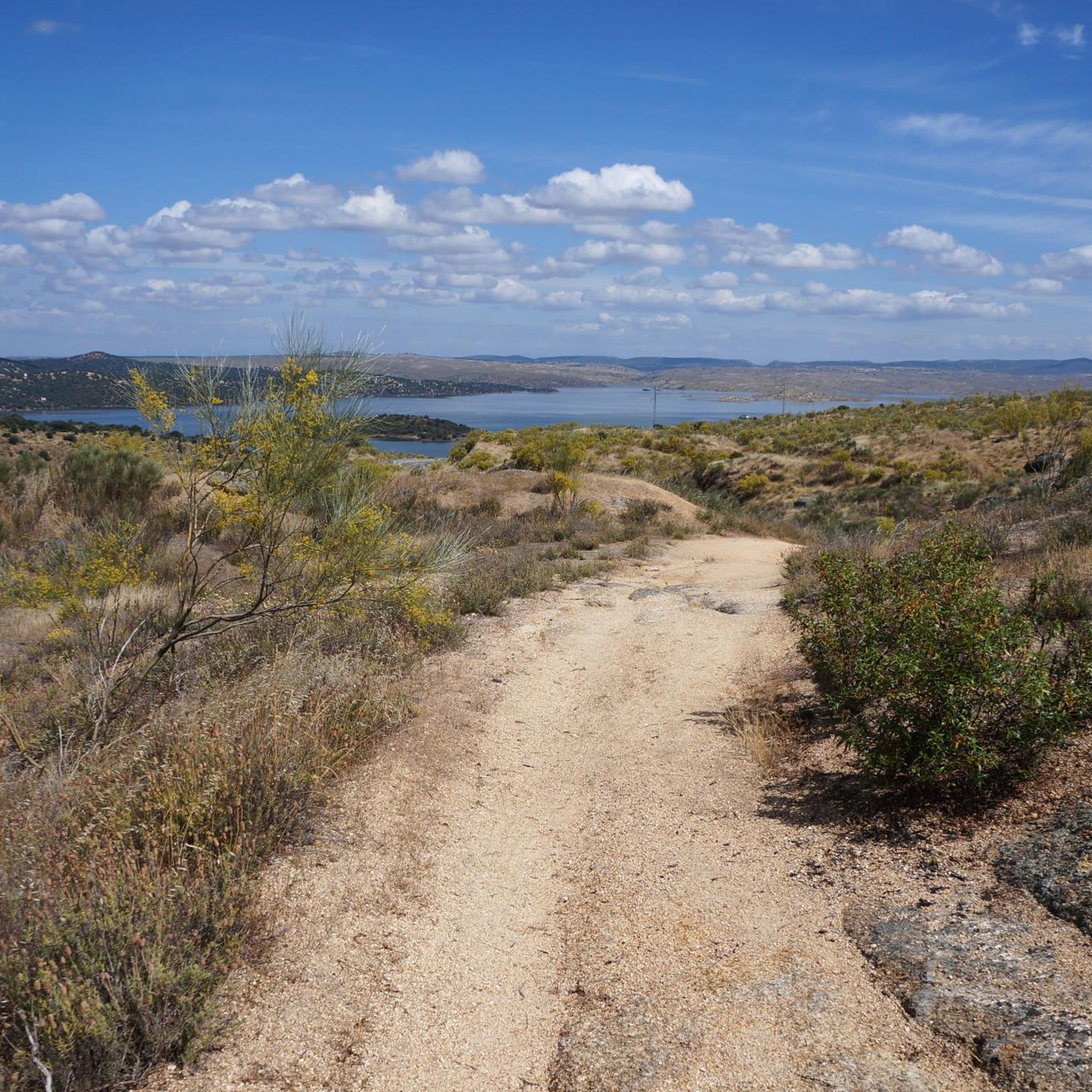
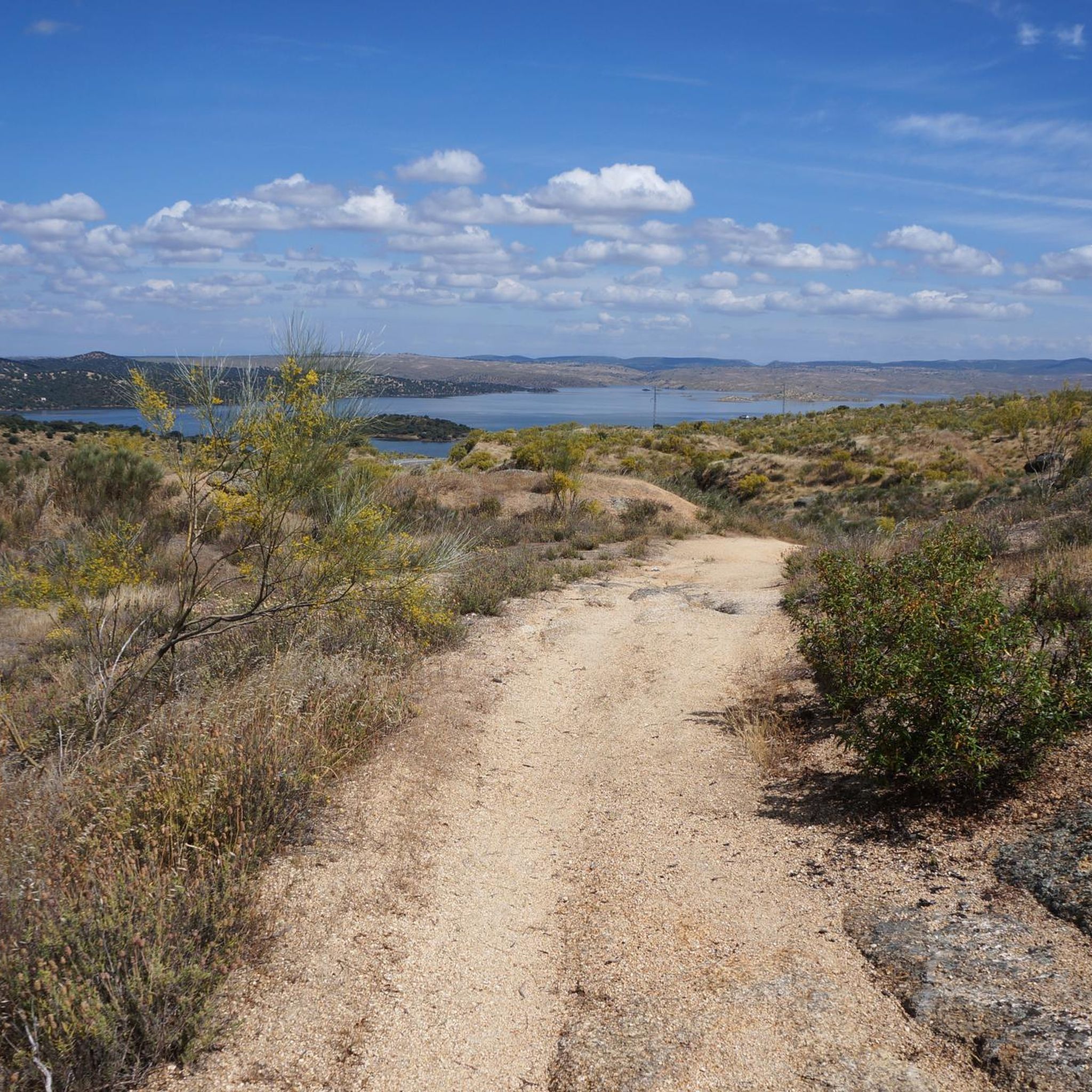
Road cycling routes around Navas Del Madroño traverse an undulating landscape characterized by granite rocks and soft hills, with an average altitude of 428 meters. The terrain features varied inclines and descents, suitable for road cycling. The region is dominated by Mediterranean vegetation, including extensive dehesas with holm oaks and cork oaks, as well as olive groves. The Rivera de Araya, a significant geological fault, also contributes to the area's natural features.
Best road cycling routes around Navas Del Madroño
…Last updated: July 5, 2026
5.0
(1)
93
riders
Moderate road ride. Good fitness required. Mostly well-paved surfaces and easy to ride.
13
riders
Moderate road ride. Good fitness required. Mostly well-paved surfaces and easy to ride.

Sign up for free
4
riders
80.8km
03:53
700m
700m
Moderate road ride. Good fitness required. Mostly well-paved surfaces and easy to ride.
5.0
(1)
104
riders
74.2km
03:12
620m
620m
Moderate road ride. Good fitness required. Mostly well-paved surfaces and easy to ride.
5.0
(1)
88
riders
73.0km
03:09
590m
590m
Moderate road ride. Good fitness required. Mostly well-paved surfaces and easy to ride.
Get access to more routes and recommendations from other explorers.
Sign up for free
Already have an account?
Our route recommendations are based on thousands of hikes, rides, and runs completed by other people on komoot.
Start today with a free account
Your next adventure awaits.
Login or Signup

Tips from the Community

Beautiful little lake and oasis of peace
0
0

Small pond with lots of green algae and waterfowl. A beautiful shady path runs along the small lake.
11
0

Incredible views from the north side of the reservoir.
5
0
It is an irregularly shaped square, surrounded by stately homes and palaces that reflect the splendor of Brozas in the 16th and 17th centuries, when it was the center of power for the Order of Alcántara. The arcades and facades with wrought-iron balconies are particularly noteworthy, as is the presence of noble buildings such as the Argüellos Carvajal Palace and the Orive Salazar Palace nearby.
5
0
The Plaza Mayor of Brozas (Cáceres, Extremadura) is the historic heart of this town, known for its rich heritage and traditional atmosphere. Although not as monumental as those of Cáceres or Trujillo, it has a special charm due to its history and vernacular architecture.
8
0
The Church of the Assumption is considered one of the finest examples of late Gothic architecture. For this reason, both the church and its main altarpiece were declared cultural heritage sites in 1981.
7
0
The San Francisco Bridge in Cáceres is a historic structure that has undergone several transformations over the years. Originally built in the 16th century, this medieval bridge is located in the eastern part of the city, on the old road to Trujillo. The bridge was built to level the terrain of a promenade next to the San Francisco convent and was adorned with two rows of black poplars planted in 1752.
17
0
The stone bridge over the Salor River on the EX-117 road has a fascinating history. This bridge is a historic structure dating back to Roman times, although it has been restored and modified over the centuries. Originally, the Romans built many bridges in the region to facilitate transportation and trade. Over the years, the bridge has witnessed numerous historical events and has served as an important crossing point in the region. Its architecture reflects the construction techniques of the time, with stone arches that have stood the test of time.
3
0
Frequently Asked Questions
How many road cycling routes are available around Navas Del Madroño?
There are 11 road cycling routes available around Navas Del Madroño. These routes cater to various skill levels, with 5 moderate and 6 difficult options.
What kind of terrain can I expect when road cycling near Navas Del Madroño?
The region around Navas Del Madroño features a gently undulating landscape with granite rocks and soft hills, averaging 428 meters in altitude. You'll experience varied inclines and descents, predominantly through Mediterranean vegetation, extensive dehesas with holm oaks and cork oaks, and olive groves. The Rivera de Araya, a significant geological fault, also contributes to the area's natural features.
Are there any circular road cycling routes around Navas Del Madroño?
Yes, many routes in the area are circular. For example, the route Garrovillas de Alconétar from Navas del Madroño – circular by Cáseres and Arroyo de la Luz offers a comprehensive loop through the varied landscapes, connecting several towns. Another option is Garrovillas de Alconétar from Alcántara – circular via Brozas and Navas del Madroño, which provides diverse scenery connecting Alcántara, Brozas, and Navas del Madroño.
What natural features or landscapes will I encounter on road cycling routes?
Road cycling routes will take you through picturesque dehesas (wooded pastures) dominated by holm oaks and cork oaks, as well as olive groves. You might also pass by the Rivera de Araya, a notable geological feature, and experience the unique stone pine forest between Navas del Madroño and Garrovillas. The Sierra de Santo Domingo also defines the municipality's geographical setting.
Are there any interesting landmarks or attractions to see along the road cycling routes?
Yes, several points of interest can be found near the routes. You might spot the iconic Osborne Bull on the N-630. The town of Brozas, with its Main Square and the Convent of San Antonio de Padua, is also accessible. Additionally, the Sanctuary of Altagracia is another notable religious monument in the vicinity.
What do other road cyclists enjoy the most about road cycling in Navas Del Madroño?
The area is highly rated by the komoot community, with an average score of 5.0 stars from over 3 reviews. Cyclists often praise the gently undulating hills, the serene dehesas, and the diverse landscapes that define road cycling around Navas Del Madroño.
What is the best time of year for road cycling in Navas Del Madroño?
The Extremadura region, including Navas Del Madroño, benefits from a pleasant Mediterranean climate, making it suitable for year-round cycling. However, spring and autumn generally offer the most comfortable temperatures for longer rides, avoiding the peak heat of summer.
Are there any easy road cycling routes for beginners in Navas Del Madroño?
The road cycling routes around Navas Del Madroño are primarily categorized as moderate or difficult. There are no routes specifically classified as 'easy' in this guide, suggesting that a basic level of fitness and experience with varied inclines is beneficial.
Can I find cafes or places to stop for refreshments along the routes?
While specific cafes are not listed for each route, many routes connect or pass through towns and villages like Navas Del Madroño, Brozas, and Garrovillas de Alconétar. These settlements typically offer opportunities for refreshments, allowing you to refuel during your ride.
Are there any routes that explore the River Salor area?
Yes, the route Salorino and Membrío from Brozas – circular by the río Salor is a 50.2-mile (80.8 km) trail that leads directly through the River Salor area, offering scenic views of this hydrological feature.
What is the longest road cycling route available?
The longest road cycling route featured is Garrovillas de Alconétar from Navas del Madroño – circular by Cáseres and Arroyo de la Luz, spanning 59.6 miles (95.9 km) and typically taking around 4 hours and 15 minutes to complete.
What is the highest point reached on the road cycling routes?
While specific route elevations vary, the region itself has an average altitude of 428 meters, with the highest natural point being Cabeza de Araya at 518 meters. Routes will feature varied inclines and descents within this range, offering a good workout.
Most popular attractions around Navas Del Madroño

Get inspired with the komoot mobile app


Explore more
Browse the best Road cycling routes in other regions.
