The best walks and hikes around Navas Del Madroño
4.5
(6)
16
hikers
6
hikes
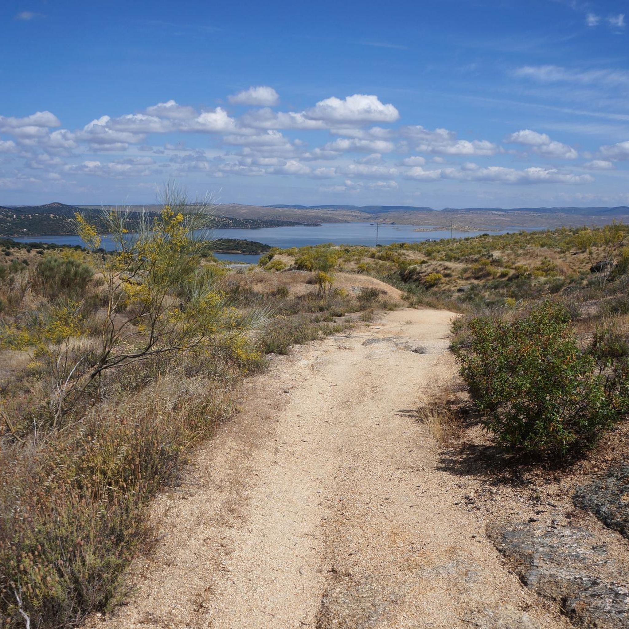
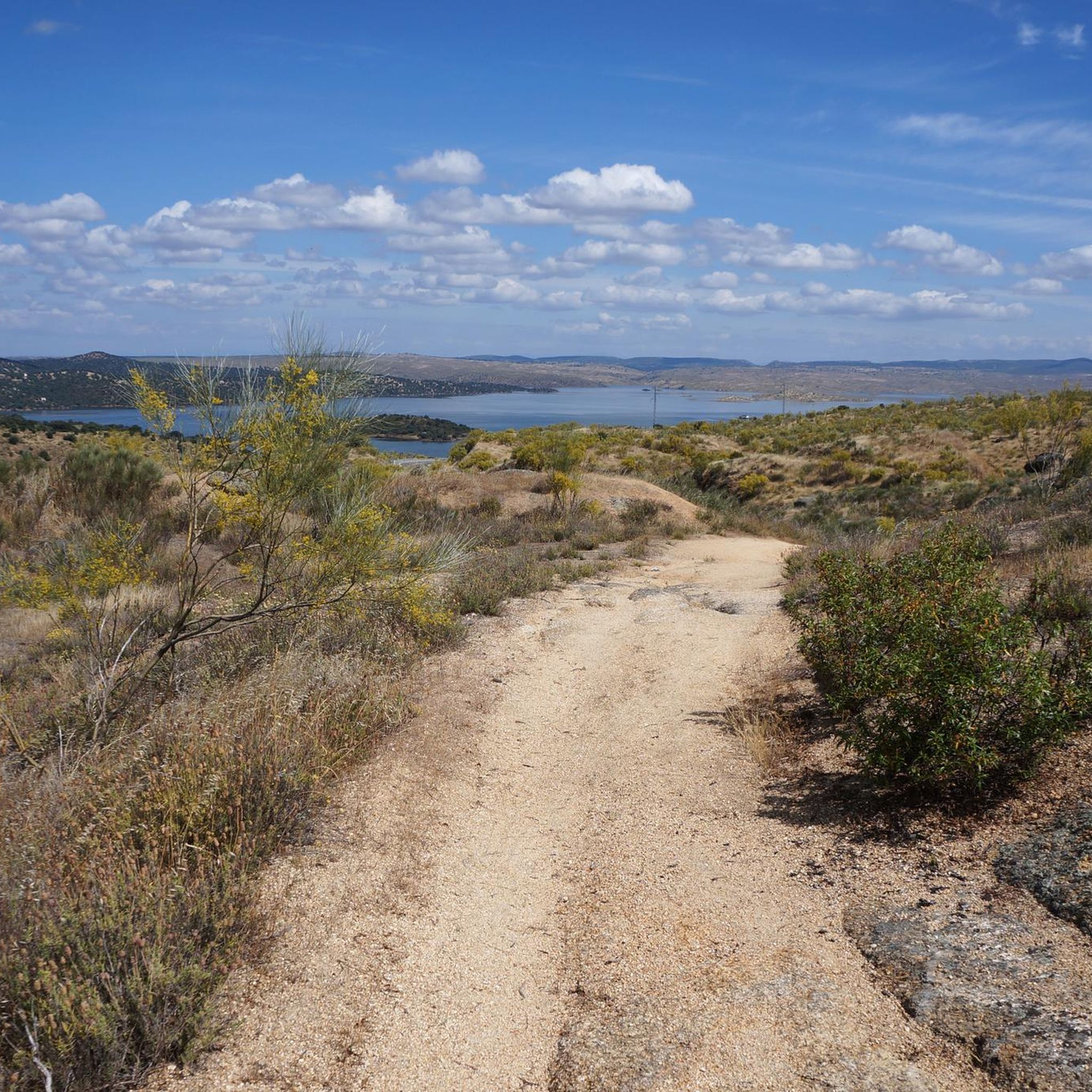
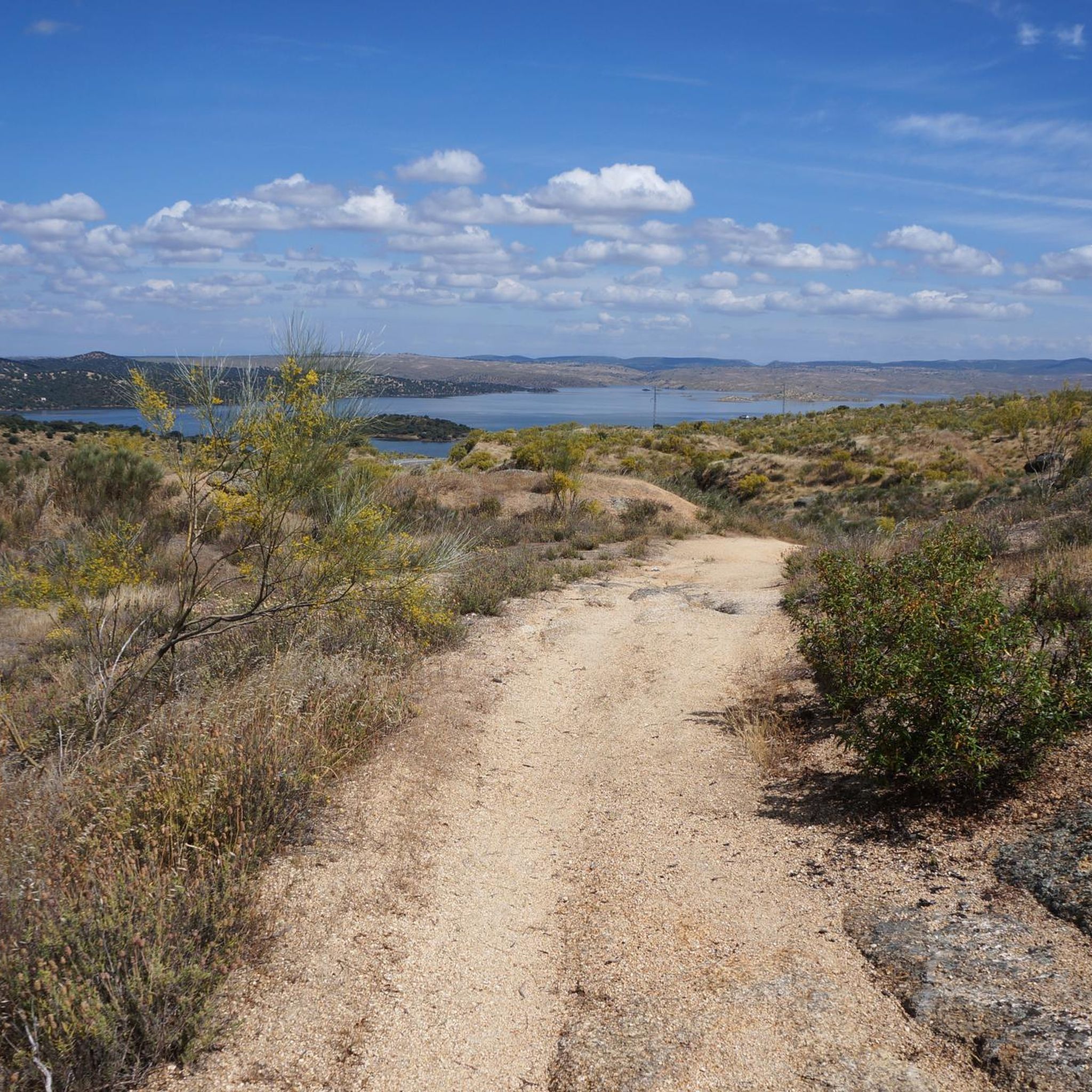
Hiking around Navas Del Madroño offers diverse landscapes characterized by traditional dehesa ecosystems with scattered evergreen oaks and a unique stone pine forest. The terrain features gentle hills formed by granite and slate rocks, with the Sierra de Santo Domingo in the southeast. The highest point, Cabeza de Araya, reaches 518 meters above sea level, providing varied routes and scenic views.
Best hiking trails around Navas Del Madroño
- The most popular hiking route is Brozas — circular through the city…
Last updated: July 11, 2026
3
hikers
5.74km
01:28
20m
20m
Easy hike. Great for any fitness level. Easily-accessible paths. Suitable for all skill levels.
19.3km
05:00
110m
120m
Hard hike. Very good fitness required. Easily-accessible paths. Suitable for all skill levels.

Sign up for free
1.84km
00:28
10m
10m
Easy hike. Great for any fitness level. Easily-accessible paths. Suitable for all skill levels.
5.0
(2)
5
hikers
11.4km
03:07
180m
180m
Moderate hike. Good fitness required. Easily-accessible paths. Suitable for all skill levels.
3
hikers
8.19km
02:12
100m
100m
Moderate hike. Good fitness required. Easily-accessible paths. Suitable for all skill levels.
Our route recommendations are based on thousands of hikes, rides, and runs completed by other people on komoot.
Start today with a free account
Your next adventure awaits.
Login or Signup

Tips from the Community

It is an irregularly shaped square, surrounded by stately homes and palaces that reflect the splendor of Brozas in the 16th and 17th centuries, when it was the center of power for the Order of Alcántara. The arcades and facades with wrought-iron balconies are particularly noteworthy, as is the presence of noble buildings such as the Argüellos Carvajal Palace and the Orive Salazar Palace nearby.
5
0
The Plaza Mayor of Brozas (Cáceres, Extremadura) is the historic heart of this town, known for its rich heritage and traditional atmosphere. Although not as monumental as those of Cáceres or Trujillo, it has a special charm due to its history and vernacular architecture.
8
0
Villa del Rey is a Spanish municipality located in the province of Cáceres, in the autonomous community of Extremadura. Its orography is characterized by wide plains with gentle slopes, and the entire municipality is contained by the hydrographic basin of the Tagus River, with the Jartín River being its main aquifer.
5
0
This square, named in honor of the Prince of Asturias, is a meeting point for the inhabitants and visitors of Brozas. Its design, surrounded by historic buildings and with a cozy atmosphere, invites you to walk and enjoy local life.
6
0
Brozas Castle, also known as “Castillo de la Comienda Mayor de la Orden de Alcántara” and popularly called “the Palace”, is a fortification located in the Spanish town of Brozas, in the province of Cáceres. Its history dates back to the 14th century, although its current appearance comes from a reconstruction carried out in the 16th-17th centuries.
7
0

If it is worth visiting I recommend
1
0

Great stretch of hiking on the pilgrimage route that joins the historic city of Cáceres from the Vía de la Plata path that crosses the Tagus International Biosphere Reserve and connects with the Portuguese Way.
3
0
Surrounded by grain fields, the small town of Villa del Rey is located on the trade route between Brozas and Alcántara. Visit the main square and the city church that rises above the landscape.
1
0
Frequently Asked Questions
How many hiking trails are available around Navas Del Madroño?
There are over 7 hiking trails in the Navas Del Madroño area, offering a variety of experiences for different skill levels.
What types of landscapes can I expect to see while hiking in Navas Del Madroño?
The region is characterized by traditional dehesa ecosystems with scattered evergreen oaks, a unique stone pine forest, and undulating granite and slate hills. You'll also find numerous freshwater springs and wells, contributing to a diverse natural environment.
Are there hiking trails suitable for beginners or families with children?
Yes, Navas Del Madroño offers several easy routes. For example, the Brozas City Tour — circular through the city is a short, easy walk ideal for families or those new to hiking.
What is the best time of year to go hiking in Navas Del Madroño?
The region's climate makes spring and autumn ideal for hiking, offering pleasant temperatures and vibrant landscapes. Summers can be very hot, while winters are generally mild, but it's always advisable to check local weather conditions.
Are there any circular hiking routes in the area?
Yes, many routes in Navas Del Madroño are circular. An example is the Pinares de Garrovillas loop from Garrovillas de Alconétar, which takes you through a significant stone pine forest.
What kind of wildlife might I encounter on the trails?
The area is rich in biodiversity. You might spot small game like partridges and hares, various bird species including white storks and raptors, and if you're lucky, more elusive mammals such as wild boars or mongooses.
Are there any historical or cultural points of interest along the hiking trails?
Yes, the historic Vía de la Estrella passes through the area, offering a blend of natural exploration and cultural heritage. You can experience this on routes like the Vía de la Estrella and La Quebrada Lake Loop.
What do other hikers enjoy most about hiking in Navas Del Madroño?
The area is highly rated by the komoot community, with an average score of 4.3 stars. Reviewers often praise the diverse landscapes, from the unique dehesa ecosystems to the stone pine forests, and the variety of routes available for different abilities.
Are there any challenging hikes for experienced trekkers?
Yes, for more experienced hikers, there are difficult routes available. The Vía de la Estrella and La Quebrada Lake Loop, for instance, is a challenging 12-mile path that follows a historical trail through dehesa landscapes and past a lake.
What are some notable landmarks or attractions near the hiking routes?
Nearby attractions include the Osborne Bull on the N-630, the historic town of Brozas with its Convent of San Antonio de Padua and Main Square, and the Sanctuary of Altagracia.
Are dogs allowed on the hiking trails in Navas Del Madroño?
While specific regulations can vary, many trails in natural areas like Navas Del Madroño are generally dog-friendly, especially if dogs are kept on a leash to protect wildlife and respect other hikers. It's always recommended to check local signage for any specific restrictions.
What is the highest point I can reach on a hike in this region?
The highest point in the municipality is Cabeza de Araya, reaching 518 meters above sea level. While not all routes lead directly to the summit, many trails in the Sierra de Santo Domingo offer varied terrain and scenic views of the surrounding area.
Most popular attractions around Navas Del Madroño

Get inspired with the komoot mobile app


Explore more
Browse the best Hikes in other regions.
