The best road cycling routes around Colindres
4.3
(95)
5,522
riders
105
rides
Road cycling routes around Colindres are characterized by a diverse landscape that includes coastal sections, inland valleys, and significant climbs into the surrounding hills and mountains. The region offers varied terrain, from routes near the Cantabrian Sea to challenging ascents towards mountain passes and viewpoints. Road cyclists can expect a mix of elevation changes and scenic vistas throughout the area.
Best road cycling routes around Colindres
- The most popular road cycling route is Antonio Ruiz Viewpoint – Ampuero Climb loop…
Last updated: May 24, 2026
4.0
(1)
464
riders
80.9km
04:06
1,180m
1,180m
Hard road ride. Very good fitness required. Some segments of this route may be unpaved and difficult to ride.
4.5
(4)
201
riders
61.5km
03:24
1,090m
1,090m
Hard road ride. Very good fitness required. Some segments of this route may be unpaved and difficult to ride.

Sign up for free
160
riders
91.2km
04:41
1,390m
1,390m
Hard road ride. Very good fitness required. Mostly well-paved surfaces and easy to ride.
5.0
(7)
146
riders
44.8km
02:09
450m
450m
Moderate road ride. Good fitness required. Mostly well-paved surfaces and easy to ride.
4.0
(2)
133
riders
65.4km
03:17
990m
990m
Hard road ride. Very good fitness required. Mostly well-paved surfaces and easy to ride.
Get access to more routes and recommendations from other explorers.
Sign up for free
Already have an account?
Our route recommendations are based on thousands of hikes, rides, and runs completed by other people on komoot.
Start today with a free account
Your next adventure awaits.
Login or Signup
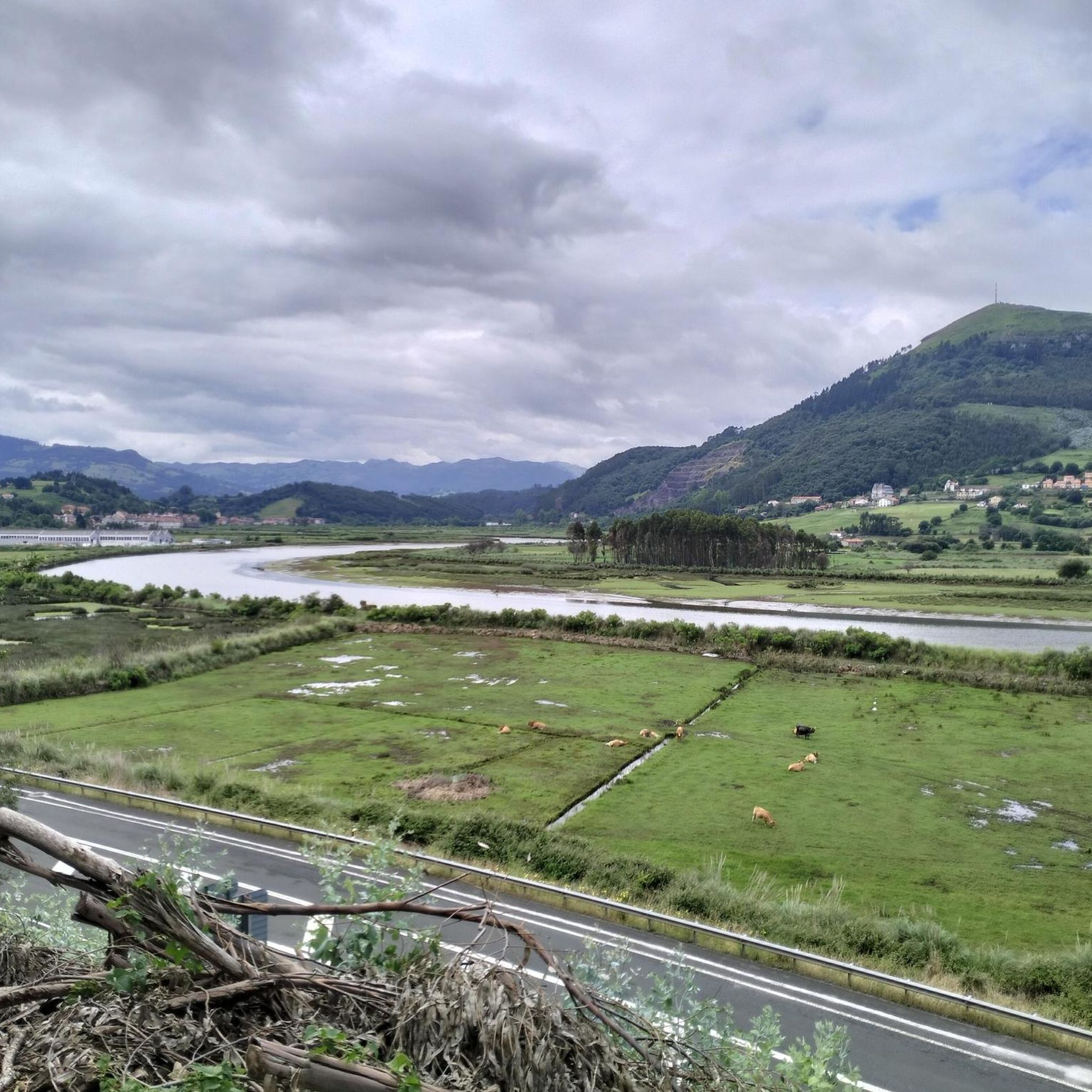
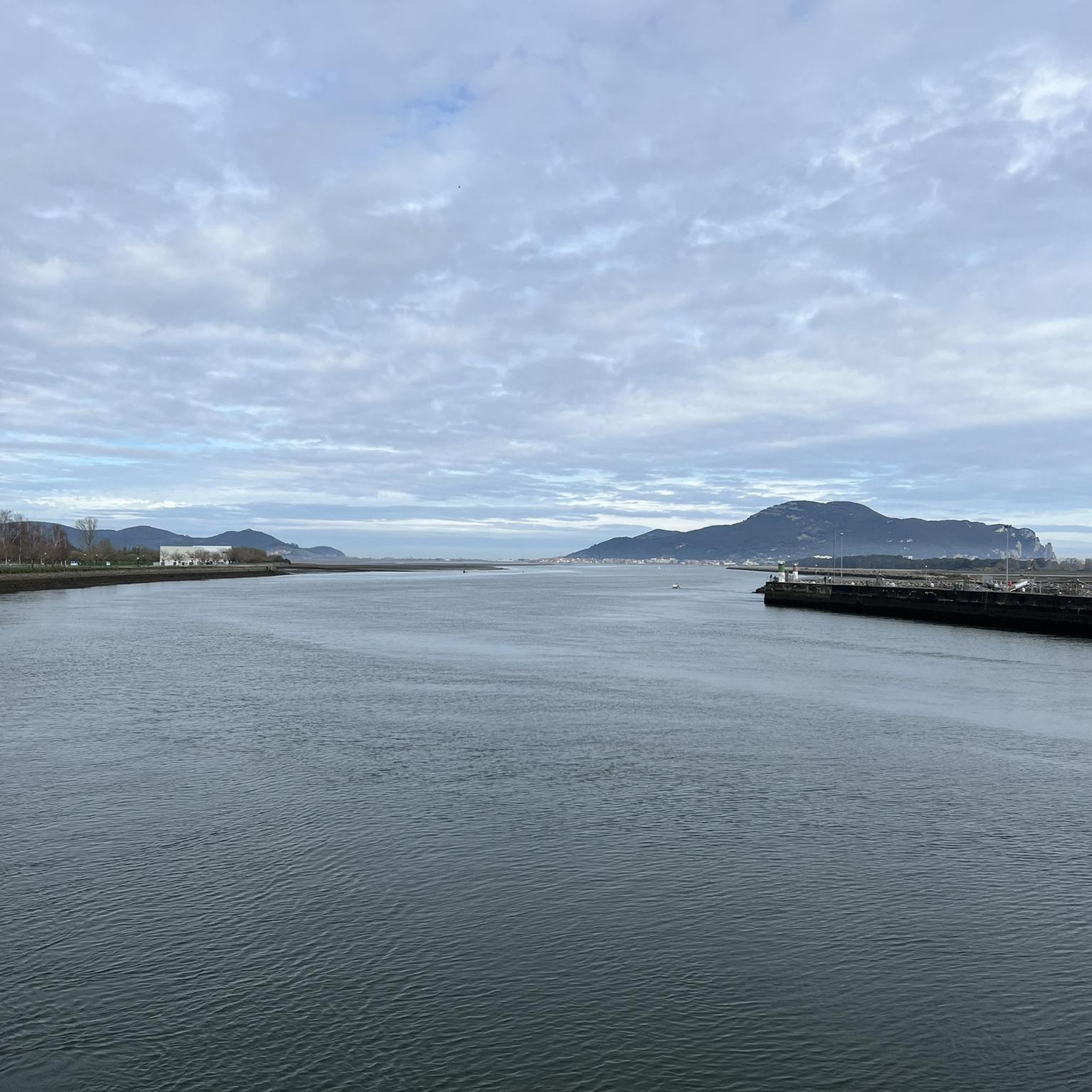
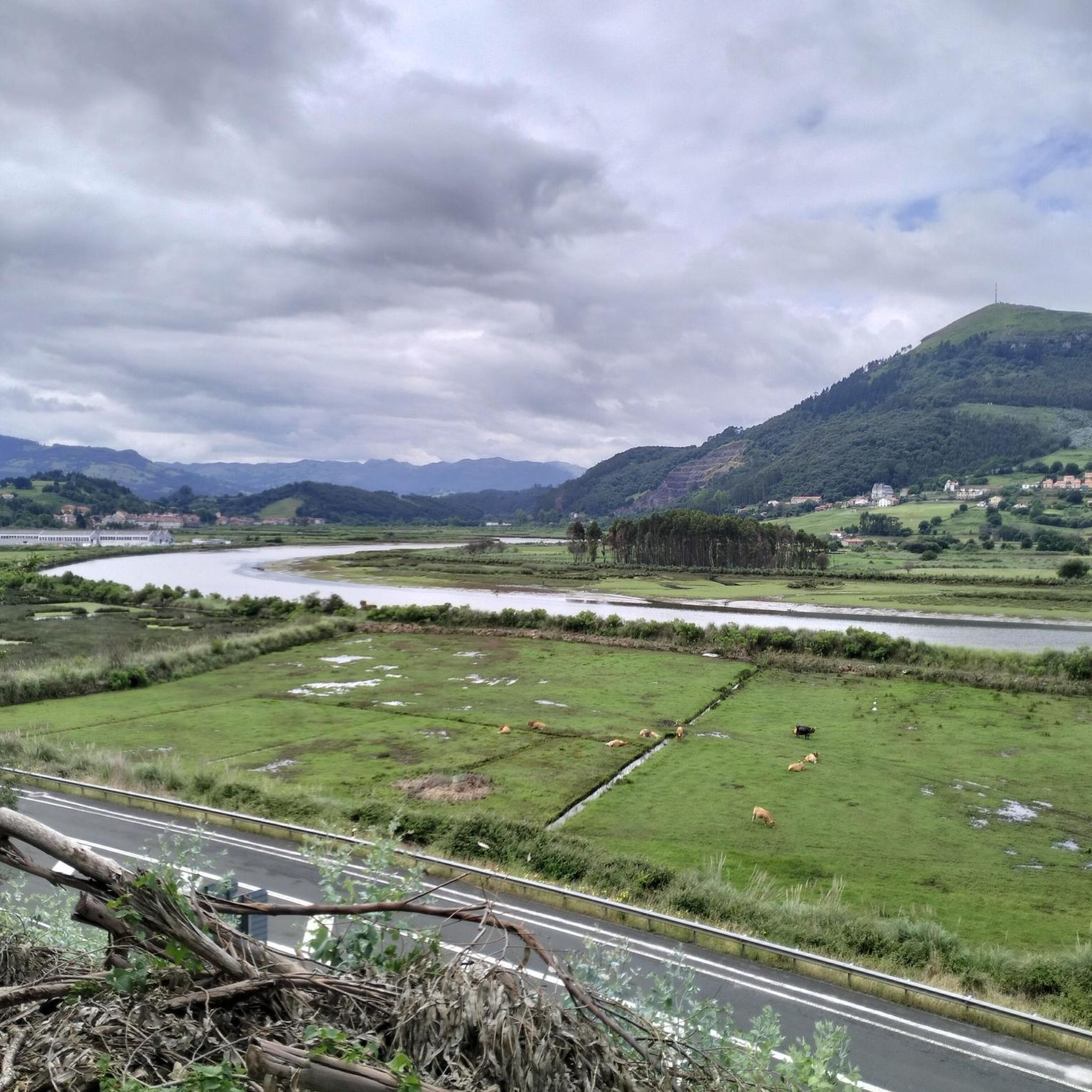
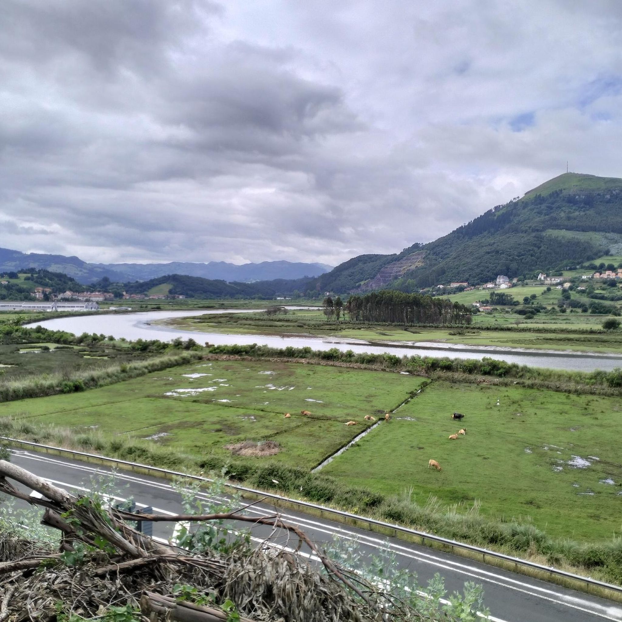
Tips from the Community

It is a good hike to get to know two small but very beautiful villages with very friendly people
0
0

It is 1.5 km from the top of the port.
0
0

Gibaja belongs to Ramales de la Victoria. It has rural accommodation as well as a store where you can buy snacks and various foods.
0
0

There is usually confusion between El Esquilo and Fuente las Varas, well, El Esquilo is a pass that we find at this point and that takes its name from the neighborhood belonging to the municipality of Voto that we have just passed through if we have started the ascent in the Arás Valley. After crowning it, we only have to finish the ascent to the crossroads called Puerto de Fuente las Varas through much softer terrain, where we can enjoy the views offered by the Matienzo poljé and the peaks of Asón that can already be glimpsed. Peña Rocias, Colina and Porracolina.
3
0

Viewpoint between Oriñon and Liendo on the old road. You have to walk about 200 meters with some unevenness to the viewpoint itself. There are beautiful views of all of Liendo and the mountains in the area. It has two wooden tables in different areas.
1
0
Sit on the stone benches and enjoy stupendous views of the bay and the Church of Santa María.
1
0
Next to the Asón River, Coterillo is a town in the municipality of Ampuero, 3 kilometers from the municipal capital, Ampuero. It has few inhabitants.
1
0
Ramales has well-preserved architecture, with some Indian mansions with beautiful gardens and gates. The Revillagigedo palace (18th century) stands out. However, its most valuable heritage is the group of caves located at the beginning of the century by Alcalde del Río: Covalanas, La Haza, Cullalvera and Sotarriza house magnificent cave paintings inside.
1
0
Frequently Asked Questions
How many road cycling routes are available around Colindres?
There are nearly 100 road cycling routes around Colindres, offering a diverse range of options for different skill levels. This includes 19 easy, 43 moderate, and 36 difficult routes.
What kind of terrain can I expect on road cycling routes in Colindres?
Road cycling in Colindres features a varied landscape, from coastal sections along the Cantabrian Sea to challenging climbs into the surrounding hills and mountains. You'll find a mix of elevation changes and scenic vistas throughout the area.
Are there challenging road cycling routes for experienced riders?
Yes, Colindres offers several challenging routes with significant elevation gain. For instance, the Puerto de Alisas – Ramales de la Victoria loop from Treto is a difficult 91.2 km route with over 1,390 meters of ascent, taking around 4 hours 40 minutes to complete.
What are some good options for moderate road cycling tours?
For a moderate challenge, consider the Ampuero Climb – Ramales de la Victoria loop from Treto. This route covers 70.9 km with over 660 meters of elevation gain and typically takes about 3 hours 12 minutes.
What do other road cyclists enjoy most about the routes in Colindres?
The road cycling routes in Colindres are highly rated by the komoot community, with an average score of 4.4 stars from over 80 reviews. Cyclists often praise the diverse terrain, from coastal roads to mountain climbs, and the rewarding scenic viewpoints.
Are there any circular road cycling routes around Colindres?
Many of the routes around Colindres are designed as loops, allowing you to start and finish in the same location. An example is the Summit of Fuente Las Varas – Ramales de la Victoria loop from Treto, a 76.3 km route that takes you through mountain passes and valley roads.
What are the typical distances and durations for road cycling routes in this region?
Routes vary significantly in length and duration. You can find shorter rides, but many popular routes range from 60 km to over 90 km, with durations typically between 3 to 5 hours, depending on the elevation and your pace.
What are some scenic viewpoints or attractions I can see along the road cycling routes?
Many routes offer stunning views. You might pass by natural attractions such as the Devil's Eye or the Marshes Viewpoint. The Antonio Ruiz Viewpoint – Ampuero Climb loop from Treto is specifically known for its panoramic vistas.
When is the best time of year for road biking in Colindres?
The Cantabrian coast generally enjoys mild temperatures. Spring and autumn offer pleasant conditions with less heat and fewer crowds, while summer provides warmer weather, ideal for coastal rides. Always check local weather forecasts before heading out.
Are there any routes that include coastal sections?
Yes, Colindres is situated near the Cantabrian Sea, and many routes incorporate beautiful coastal roads, offering refreshing sea breezes and ocean views. These sections often contrast with the inland climbs into the mountains.
Can I find routes that pass through towns or villages where I can stop for refreshments?
While specific coffee stops aren't listed for every route, many road cycling tours in the Colindres area pass through or near towns like Ramales de la Victoria or Ampuero, where you can typically find places to refuel and rest.
Most popular attractions around Colindres

Get inspired with the komoot mobile app


Explore more
Browse the best Road cycling routes in other regions.
