The best mountain hikes around Alajeró
4.8
(22)
125
hikers
23
hikes
Mountaineering routes around Alajeró traverse a landscape shaped by its volcanic past, featuring rugged cliffs, deep ravines, and ancient volcanic terrain. Notable formations include the La Caldera Natural Monument and the striking Roque de Imada. The region is characterized by imposing cliffs, such as those recognized as a site of scientific interest, and intricate ravines like the Barranco de Guarimiar. Higher elevations extend into the Garajonay National Park, renowned for its relict laurel forests, offering a diverse range of natural…
Last updated: July 1, 2026
5.0
(2)
9
hikers
9.26km
03:46
630m
630m
Moderate mountaineering route. Good fitness required. Mostly accessible paths. Sure-footedness required.
5.0
(2)
9
hikers
Moderate mountaineering route. Good fitness required. Mostly accessible paths. Sure-footedness required.

Sign up for free
4.5
(2)
14
hikers
12.0km
05:10
780m
780m
Hard mountaineering route. Very good fitness required. Mostly accessible paths. Sure-footedness required.
5.0
(2)
13
hikers
18.2km
06:51
960m
960m
Hard mountaineering route. Very good fitness required. Mostly accessible paths. Sure-footedness required.
5.0
(3)
14
hikers
14.6km
04:56
610m
610m
Hard mountaineering route. Good fitness required. Sure-footedness, sturdy shoes and alpine experience required.
Get access to more routes and recommendations from other explorers.
Sign up for free
Already have an account?
Our route recommendations are based on thousands of hikes, rides, and runs completed by other people on komoot.
Start today with a free account
Your next adventure awaits.
Login or Signup
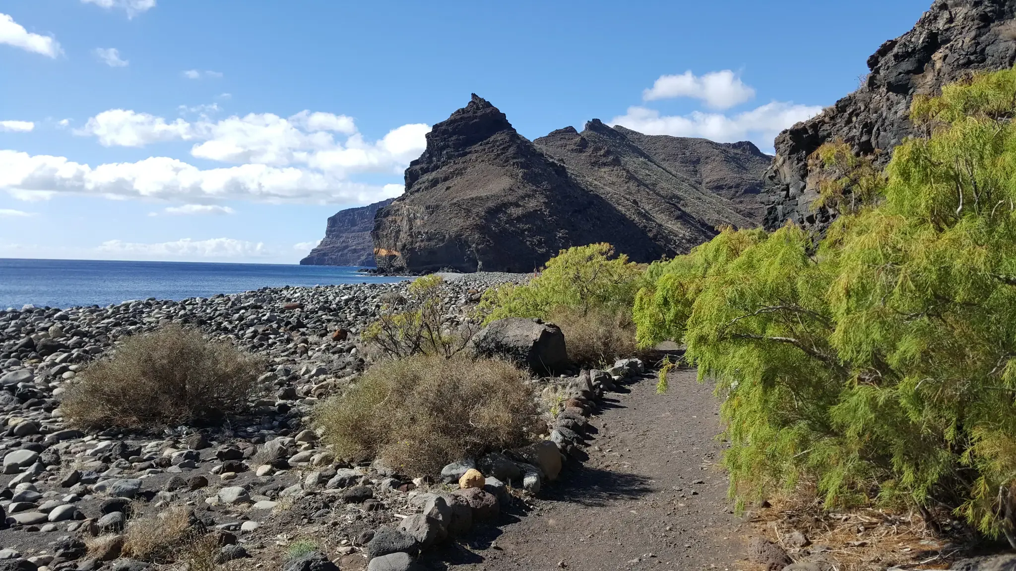
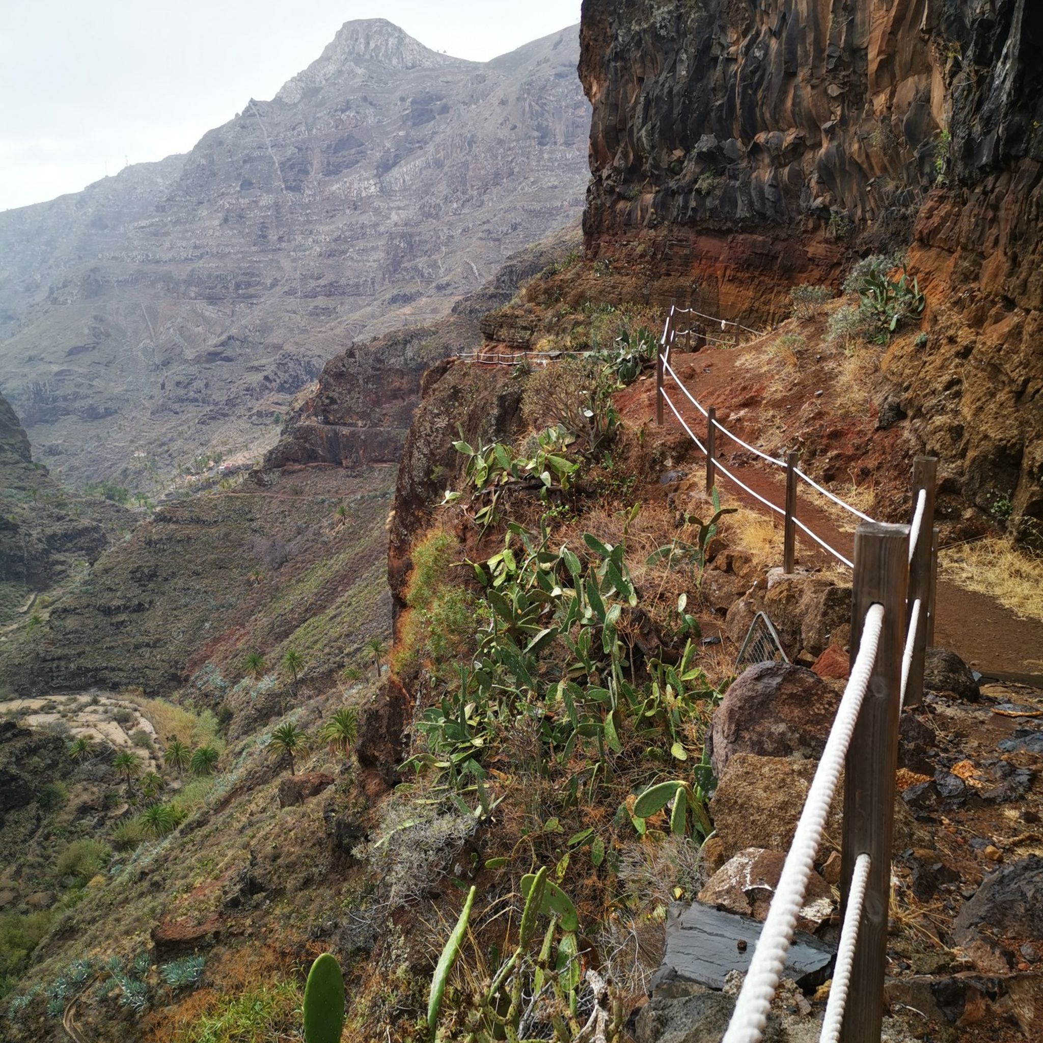
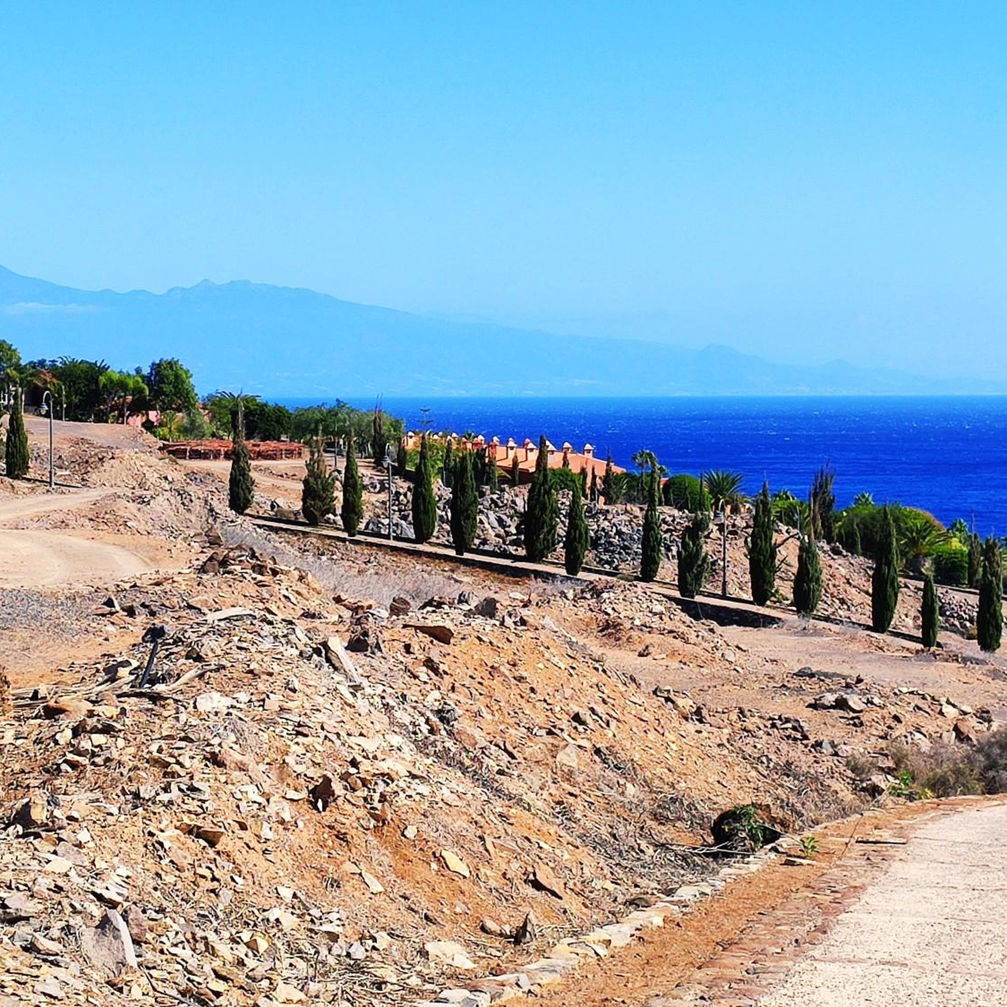
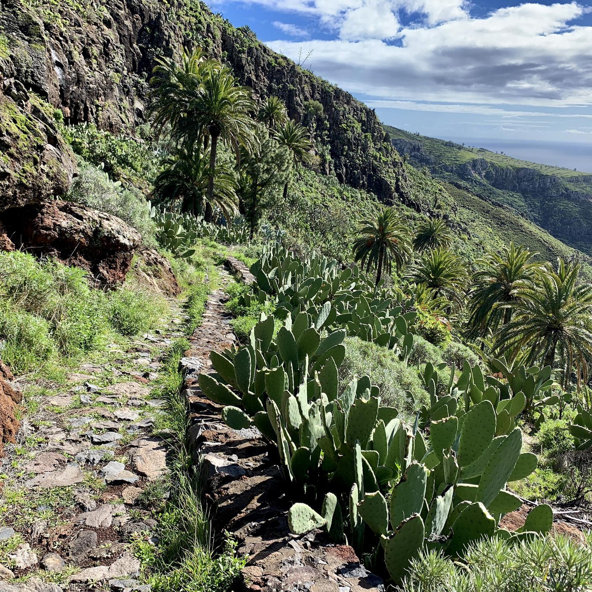
Other adventures around Alajeró

Tips from the Community

La Fortaleza de Chipude is a huge volcanic formation located in the west-central part of La Gomera and one of the most impressive and symbolic places on the entire island. Its silhouette stands out from many points because it has a very flat and elevated summit, almost like a gigantic rock table emerging above the ravines. Although many people think it could be a complete volcano, it is actually an ancient volcanic dome and one of the great geological monuments of La Gomera. In addition to its scenic importance, La Fortaleza had enormous historical and spiritual value for the ancient inhabitants of La Gomera before the Castilian conquest. It is believed to have been used as a ceremonial site and natural refuge due to its dominant position and difficult access. Even today, it retains a certain mysterious and isolated atmosphere, especially when fog surrounds the upper part. From the top, the views are spectacular, with deep ravines in all directions and enormous panoramas over a large part of the island. The final ascent is usually done on foot and is well worth the effort. Seen from afar, its flat and abrupt shape almost resembles an impossible mountain placed in the middle of the volcanic landscape of La Gomera.
1
0

A beautiful photo opportunity at a "lost place"—it's always surprising how a house was built here in the middle of nowhere (okay, there must have been water). This gives you an idea of how arduous life used to be (but perhaps happier in nature).
0
0
A nice place to take a break, with a great view.
0
0

It's best to climb the shadeless south-facing slope early in the morning.
0
0
It's best to climb the shadeless south-facing slope early in the morning.
0
0

Moni has already noted everything very well, and I'd like to agree. The Hotel Valle Gran Ray is right across the street. It's a very good place to stay; cleanliness is a top priority there. The staff is always very attentive and tries to ensure our stay is pleasant. When the weather is nice, breakfast is served on the terrace with the wonderful sound of the sea in front of you. Many items from the breakfast buffet are freshly prepared on request. The swimming pool is a great place to cool off after a hike and work on a tan. We would be happy to book the Valle Gran Ray again.
3
0

Hautacuperche is one of the most famous rebels of La Gomera. Since 2007, he has been commemorated with a bronze statue on the beach of Valle Gran Rey. In 1488, Hautacuperche led a rebellion of the locals against the Spanish occupiers. The inhabitants of La Gomera suffered from various oppressions by the Spanish occupier Hernan de Peraza. When the Guanche princess Iballa was finally persecuted, the council of natives decided on a rebellion. Rebellion against the Spaniards In 1488, Hautacuperche is said to have killed Hernan de Perza in the cave. Thereupon Pedro de Vera, the governor of Gran Canaria, issued the order to kill all men over 15 years of age who belonged to certain tribes. The women and children were to be enslaved. The outcome was tragic, but Hautacuperche was given the highest respect. Leader of the insurgents In the summer of 2007, a monument was erected to Hautacuperche: his statue stands imposingly on the beach of Valle Gran Rey. The location is very close to the Baja del Secreto, from where Hautacuperche is said to have set out to lead the Rebelion der Gomeros. Bronze statue in Valle Gran Rey Cast entirely in bronze, the statue of Hautacuperche impresses with a height of four meters. It stands in La Puntilla in Valle Gran Rey, directly opposite the Hotel Gran Rey at the beach entrance with its back to the sea.
2
0
A beautiful hike to this destination. Good hiking gear is recommended. Parking is plentiful at the start of the hike. We thoroughly enjoyed the hike, especially when we reached the top. The descent also had many surprises for us ☺️
2
0
Frequently Asked Questions
How many mountaineering routes are available in Alajeró?
Alajeró offers a diverse network of over 25 mountaineering routes. These trails traverse a landscape shaped by its volcanic past, featuring rugged cliffs, deep ravines, and ancient volcanic terrain, providing options for various skill levels.
What are the typical difficulty levels for mountaineering routes in Alajeró?
The mountaineering routes in Alajeró cater to a range of abilities. You'll find 1 easy route, 14 moderate routes, and 10 more challenging routes, ensuring there's something for everyone from beginners to experienced mountaineers.
Are there circular mountaineering routes in Alajeró?
Yes, Alajeró features several excellent circular mountaineering routes. For example, you could explore the Roque Argando loop from Degollada de Peraza, which offers stunning views and a rewarding experience.
What kind of terrain can I expect on mountaineering routes in Alajeró?
Mountaineering in Alajeró involves diverse terrain, from volcanic formations like the La Caldera Natural Monument and the striking Roque de Imada, to imposing cliffs and intricate ravines such as the Barranco de Guarimiar. Higher elevations also extend into the Garajonay National Park, renowned for its relict laurel forests, offering a unique misty and humid micro-climate.
What natural landmarks or viewpoints can I see along mountaineering routes in Alajeró?
Many routes offer breathtaking views of significant natural landmarks. You might encounter the iconic Roque de Agando, reach the summit of Alto de Garajonay, or explore the unique Laurisilva Trail in Garajonay National Park. The region is rich in volcanic formations and dramatic cliffs.
Are there any waterfalls to discover on mountaineering routes in Alajeró?
Yes, you can discover beautiful waterfalls in the area. Consider visiting the Arure Waterfall or the Waterfall in Barranco de Arure, both offering refreshing sights amidst your mountaineering adventure.
What do other mountaineers enjoy the most about mountaineering in Alajeró?
The mountaineering routes in Alajeró are highly rated by the komoot community, with an average score of 4.7 stars from over 30 reviews. Users frequently praise the diverse terrain, from volcanic landscapes to lush laurel forests, and the extensive network of trails that offer continuous panoramic views.
Are there family-friendly mountaineering options in Alajeró?
While many routes involve significant elevation changes, there is at least one easy mountaineering route available, which could be suitable for families looking for a less strenuous experience. It's always recommended to check the specific route details for suitability with children.
Can I bring my dog on mountaineering trails in Alajeró?
La Gomera generally welcomes dogs on many trails, but specific regulations might apply, especially within protected areas like Garajonay National Park. It's advisable to check local signage or park guidelines for the specific route you plan to undertake to ensure it's dog-friendly.
How can I access mountaineering trailheads using public transport in Alajeró?
Alajeró is known for its extensive trail network, and while some trailheads are accessible by public transport, options can be limited. It's best to research local bus routes (guaguas) that connect to villages near popular starting points. For more remote trailheads, a taxi or rental car might be necessary.
Are there specific permits required for mountaineering, especially in Garajonay National Park?
Generally, permits are not required for hiking on most trails in Alajeró or within Garajonay National Park. However, for specific activities like sport climbing in areas such as Arguayoda (El Negrín), or for large organized groups, it's always prudent to check with local authorities or park management for any specific requirements.
What is the best time of year for mountaineering in Alajeró?
La Gomera, including Alajeró, enjoys a mild climate year-round, making mountaineering possible in most seasons. However, the spring and autumn months (April-May and September-November) often offer the most pleasant temperatures and fewer crowds. During summer, higher elevations can provide a cooler escape, while winter can bring occasional rain, especially in the laurel forests.
Are there challenging mountaineering routes for experienced climbers in Alajeró?
Yes, for experienced climbers, the Arguayoda (El Negrín) area near Alajeró offers a dedicated sport climbing site with 33 routes. Beyond this, the region's rugged cliffs and dramatic volcanic terrain provide ample opportunities for advanced mountaineering, with several difficult routes listed in the area.
Most popular attractions around Alajeró

Get inspired with the komoot mobile app


Explore more
Browse the best Mountain Hikes & Routes in other regions.
