The best cycling routes around Frías De Albarracín
4.5
(6)
138
riders
29
rides
Touring cycling routes around Frías De Albarracín are set within the Sierra de Albarracín Comarca, part of the Montes Universales mountain range. The region features diverse landscapes, including extensive pine forests and high-altitude terrain, with the town itself situated at 1,496 meters. A significant natural landmark is the source of the Tagus River, originating at nearly 1,600 meters above sea level. The area's geology includes red sandstone, limestone, and calcareous rock formations, providing varied surfaces for cycling.
Best touring cycling routes around Frías De Albarracín
- The most popular touring cycling route is Empty Mountains: Guadalaviar Loop, a 31.6 miles (50.9 km) trail that takes 4 hours 31 minutes to complete. This difficult route offers significant elevation changes through mountainous terrain.
- Another top favourite among local touring cyclists is Puente de las Tres Provincias — circular gravel from the Nacimiento del Río Tajo, a moderate 19.1 miles (30.7 km) path. This route explores gravel tracks near the Tagus River source, offering scenic views and varied surfaces.
- Local touring cyclists also love the Puerto del Portillo – Guadalaviar loop from Guadalaviar, a 15.3 miles (24.6 km) trail leading through mountainous landscapes, often completed in about 2 hours 30 minutes.
- Touring cycling around Frías De Albarracín is defined by high-altitude plateaus, dense pine forests, and the Tagus River valley. The network offers options for different ability levels, with 6 moderate and 18 difficult routes available.
- The routes in Frías De Albarracín are highly rated by the komoot community with an average score of 4.6 stars from 7 reviews. More than 100 touring cyclists have used komoot to explore Frías De Albarracín's varied terrain.
Last updated: August 24, 2026
5.0
(2)
12
riders
50.9km
04:32
700m
700m
Hard bike ride. Very good fitness required. Mostly paved surfaces. Suitable for all skill levels.
4.0
(1)
2
riders
Moderate bike ride. Good fitness required. Mostly paved surfaces. Suitable for all skill levels.

Sign up for free
10
riders
24.6km
02:30
520m
520m
Hard bike ride. Very good fitness required. Mostly paved surfaces. Suitable for all skill levels.
7
riders
110km
07:02
1,310m
1,300m
Hard bike ride. Very good fitness required. Mostly paved surfaces. Suitable for all skill levels.
6
riders
Hard bike ride. Very good fitness required. Mostly paved surfaces. Suitable for all skill levels.
Get access to more routes and recommendations from other explorers.
Sign up for free
Already have an account?
Our route recommendations are based on thousands of hikes, rides, and runs completed by other people on komoot.
Start today with a free account
Your next adventure awaits.
Login or Signup

Tips from the Community

The Jucar River is approximately 500 km long and flows from the Montes Universales to Cullera, where it flows into the Gulf of Valencia.
5
0
Uni is a small village amidst natural splendor. Devilsvenster, the Una waterfall, the Una observatory, the enchanting town, and many viewpoints around the village bear witness to a unique environment.
14
0

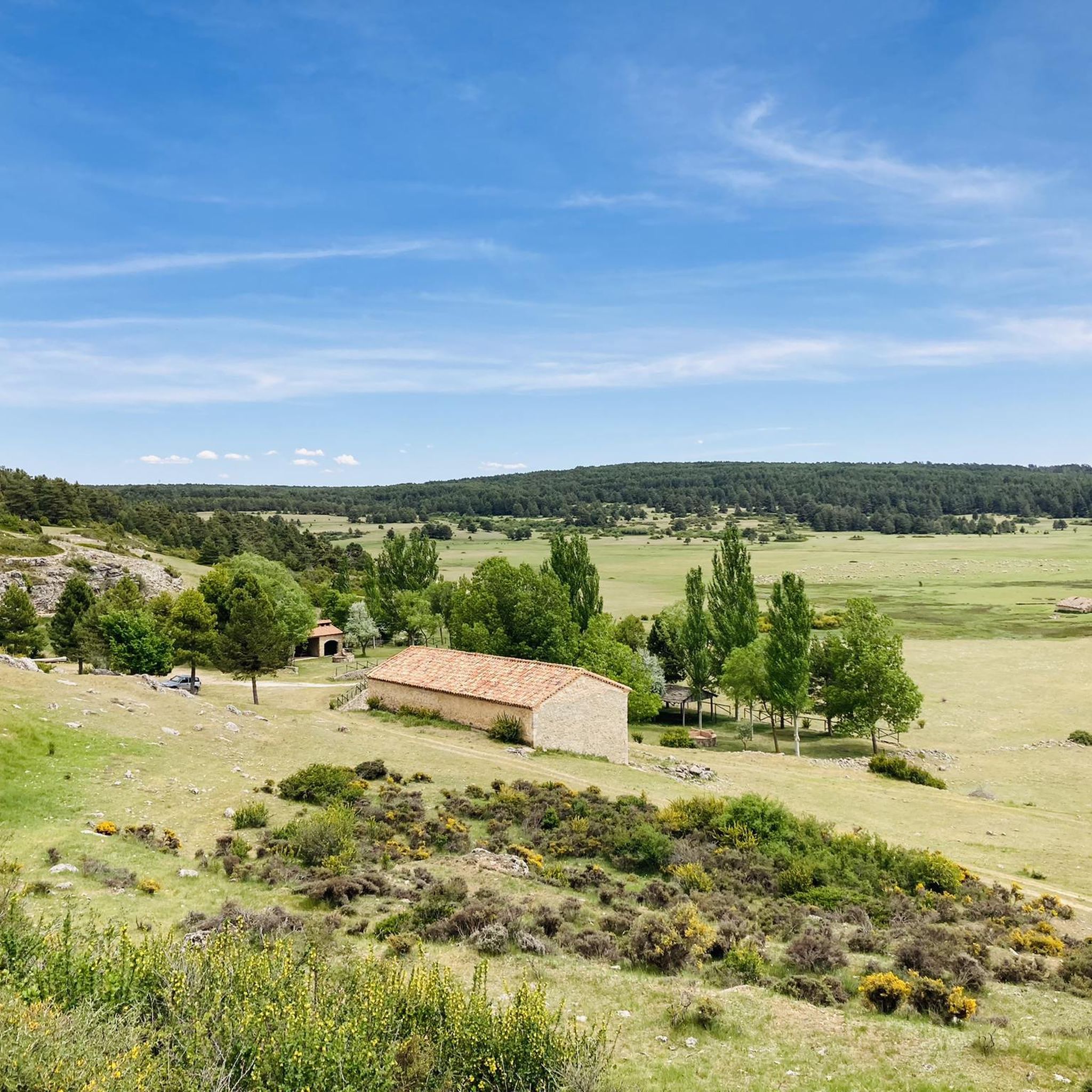
The official source of water is located at Fuente de García, in the Montes Universales, within the municipality of Frías de Albarracín (Teruel). It is located at an altitude of approximately 1,590 meters, surrounded by pine forests and high mountain meadows. Access is very easy and well signposted. Take the A-1704 highway, which connects Frías de Albarracín with Huélamo (Cuenca). From the highway, a paved detour of approximately 2 km takes you directly to the recreational area and the monument. There is free parking next to the monument.
10
0
Access is very easy and well signposted. Take the A-1704 highway, which connects Frías de Albarracín with Huélamo (Cuenca). From the highway, a paved detour of approximately 2 km takes you directly to the recreational area and the monument. There is free parking next to the monument.
5
0
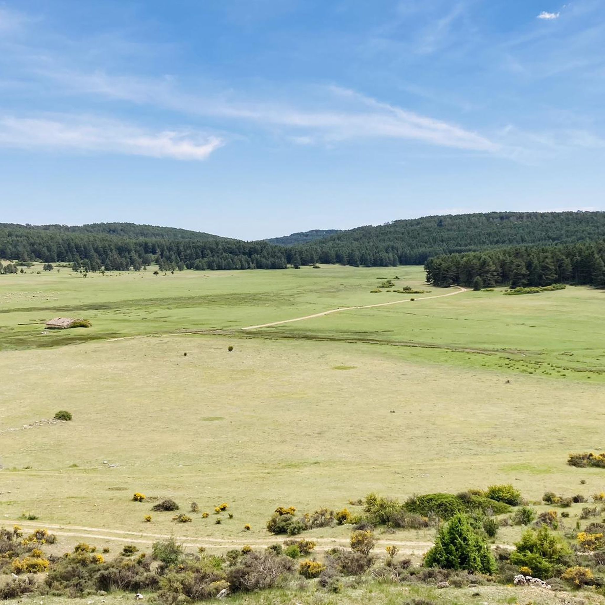
The official source is located at Fuente de García, in the Montes Universales, within the municipality of Frías de Albarracín (Teruel). It is located at an altitude of approximately 1,590 meters, surrounded by pine forests and high mountain meadows.
5
0

It is a reference to the place where the longest river in Spain originates, stretching over 1,000 km and flowing into neighboring Portugal. These statues symbolize this point in the Albarracín mountain range.
8
0

A good place to stop: fountain, park and bar
0
0
A stop with a fountain, park and bar
0
0
Frequently Asked Questions
How many touring cycling routes are available around Frías De Albarracín?
There are 24 touring cycling routes around Frías De Albarracín. This includes 6 moderate and 18 difficult routes, offering options for various skill levels.
What kind of terrain can I expect on touring cycling routes in Frías De Albarracín?
The region features diverse terrain, including extensive pine forests, high-altitude plateaus, and the Tagus River valley. You'll encounter varied surfaces, from red sandstone to limestone and calcareous rock formations. Some routes, like the Puente de las Tres Provincias — circular gravel from the Nacimiento del Río Tajo, specifically explore gravel tracks.
Are there any circular touring cycling routes in the area?
Yes, several circular routes are available. For example, the Puente de las Tres Provincias — circular gravel from the Nacimiento del Río Tajo is a moderate circular option, and the Puerto del Portillo – Guadalaviar loop from Guadalaviar offers a challenging circular ride through mountainous landscapes.
What natural landmarks or attractions can I see along the touring cycling routes?
The region is rich in natural beauty. You can visit the source of the Tagus River (Nacimiento del Río Tajo), which is a significant natural landmark. Several routes pass by beautiful waterfalls, including Herrería Waterfall and San Pedro Mill Waterfall. Geological points of interest like La Sima de Frías de Albarracín and formations such as Roca de la Hoz also add to the scenic appeal.
Are there any family-friendly touring cycling routes?
While many routes in the area are classified as difficult, there are 6 moderate routes that might be suitable for families with some cycling experience. The local government also highlights well-signposted 'Cieloturisticas' routes, such as 'Casas de Frías,' which is a 13 km medium-difficulty cyclotourist route exploring the northern part of the municipality.
What is the best time of year to go touring cycling in Frías De Albarracín?
Frías de Albarracín is situated at an altitude of 1,496 meters, with the Tagus River source at nearly 1,600 meters. This means summers offer pleasant temperatures for high-altitude cycling. Spring and autumn can also be excellent, with vibrant landscapes, but be prepared for cooler temperatures at higher elevations.
What do other touring cyclists say about the routes in Frías De Albarracín?
The touring cycling routes in Frías De Albarracín are highly rated by the komoot community, with an average score of 4.6 stars from 7 reviews. Cyclists often praise the diverse landscapes, from red sandstone to infinite pine forests, and the challenging yet rewarding high-altitude experiences.
Are there any routes that pass by the source of the Tagus River?
Yes, the source of the Tagus River (Nacimiento del Río Tajo) is a prominent feature in the area. The Puente de las Tres Provincias — circular gravel from the Nacimiento del Río Tajo route specifically explores gravel tracks near this significant natural landmark.
Can I find routes with significant elevation gain for training?
Absolutely. With 18 difficult routes and the town itself at 1,496 meters, Frías de Albarracín is ideal for altitude training. Routes like the Empty Mountains: Guadalaviar Loop offer significant elevation changes through mountainous terrain, perfect for challenging rides.
Are there any historical sites or cultural points of interest accessible by bike?
Beyond natural beauty, the region has historical significance. The 'Casas de Frías' cyclotourist route passes by historical sites like the Celtiberian settlement of Villar de Muelas. The village of Frías de Albarracín itself has ancient roots, and nearby Albarracín, often included in regional tours, offers a Plaza Mayor and historical buildings.
What types of landscapes will I encounter on the routes?
You will experience a wide variety of landscapes, including extensive pine forests (such as La Dehesa and El Estepar), high-altitude plateaus, and the valley of the Tagus River. The geological makeup includes striking red sandstone areas, as well as limestone and calcareous rock formations, providing visually diverse scenery throughout your ride.
Most popular routes around Frías De Albarracín
Most popular attractions around Frías De Albarracín

Get inspired with the komoot mobile app


Explore more
Browse the best Cycling routes in other regions.
