The best road cycling routes around Frías De Albarracín
5.0
(1)
169
riders
12
rides
Road cycling routes around Frías de Albarracín are set within the mountainous Sierra de Albarracín Comarca, offering diverse and challenging terrain. The region is characterized by varied gradients and scenic ascents through the Montes Universales, part of the Sistema Ibérico mountain range. Extensive pine forests, such as the Pinares del Rodeno, dominate the landscape, providing picturesque routes. The area also features river valleys, including the source of the Tagus River, and unique geological formations.
Best road cycling routes around Frías…
Last updated: August 21, 2026
5.0
(1)
43
riders
85.1km
04:27
1,460m
1,460m
Hard road ride. Very good fitness required. Mostly well-paved surfaces and easy to ride.
25
riders
47.4km
02:37
950m
950m
Hard road ride. Very good fitness required. Mostly well-paved surfaces and easy to ride.

Sign up for free
11
riders
45.6km
02:33
840m
840m
Moderate road ride. Good fitness required. Some segments of this route may be unpaved and difficult to ride.
14
riders
104km
05:13
1,590m
1,590m
Hard road ride. Very good fitness required. Mostly well-paved surfaces and easy to ride.
13
riders
133km
06:24
1,840m
1,840m
Hard road ride. Very good fitness required. Mostly well-paved surfaces and easy to ride.
Get access to more routes and recommendations from other explorers.
Sign up for free
Already have an account?
Our route recommendations are based on thousands of hikes, rides, and runs completed by other people on komoot.
Start today with a free account
Your next adventure awaits.
Login or Signup

Tips from the Community

The "Strada del fiume Guadalquivir" corresponds to the pedestrian and road route that runs alongside the river in Andalusia, predominantly known in Seville as Paseo de Las Delicias. This avenue allows you to admire the most famous views of the Spanish city.
0
0

Viewpoint for the church offers a great view over the valley
0
0
Beautiful place, the village, the castle, the church, everything!
0
1

The stretch of the A-1704 between Albarracín and Calomarde is one of the most spectacular in the Sierra de Albarracín, ideal for exploring by car or even combining with hiking.
2
0
The section of the A-1512 that starts in Albarracín and heads toward Noguera de Albarracín and Orihuela del Tremedal is known for its spectacular natural beauty. This route passes through gorges, dense pine and holm oak forests, and areas of outstanding scenic value such as the Tremedales de Orihuela, with unique features such as rocky rivers and peat bogs.
1
0

Next to the town square and with our backs to the village, we find the local church, whose state of preservation is not exactly the best of all the churches in the region, but it is still open for worship and mass is held at least once a week.
10
0
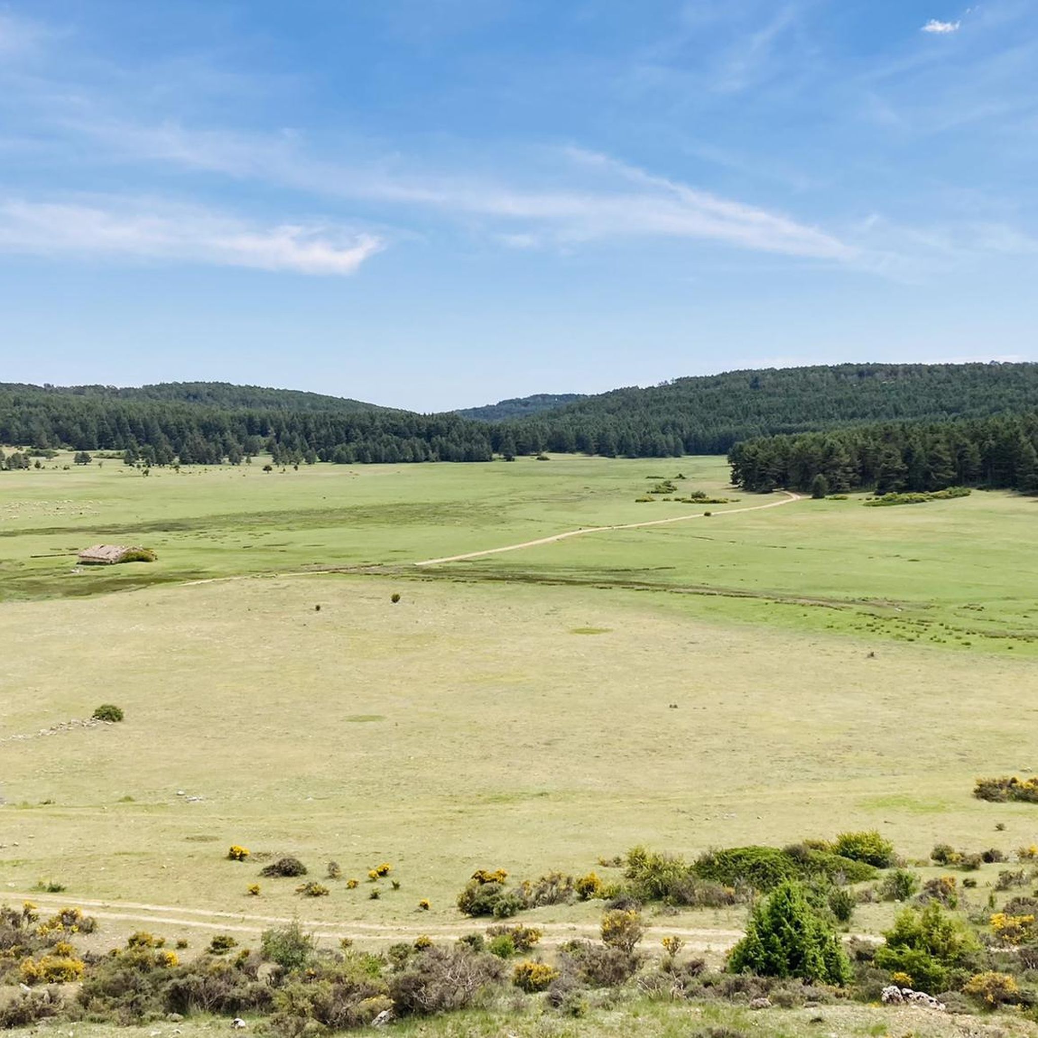
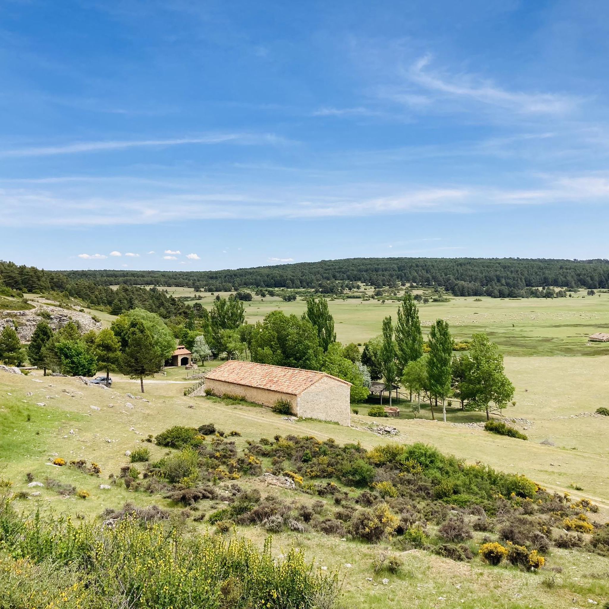
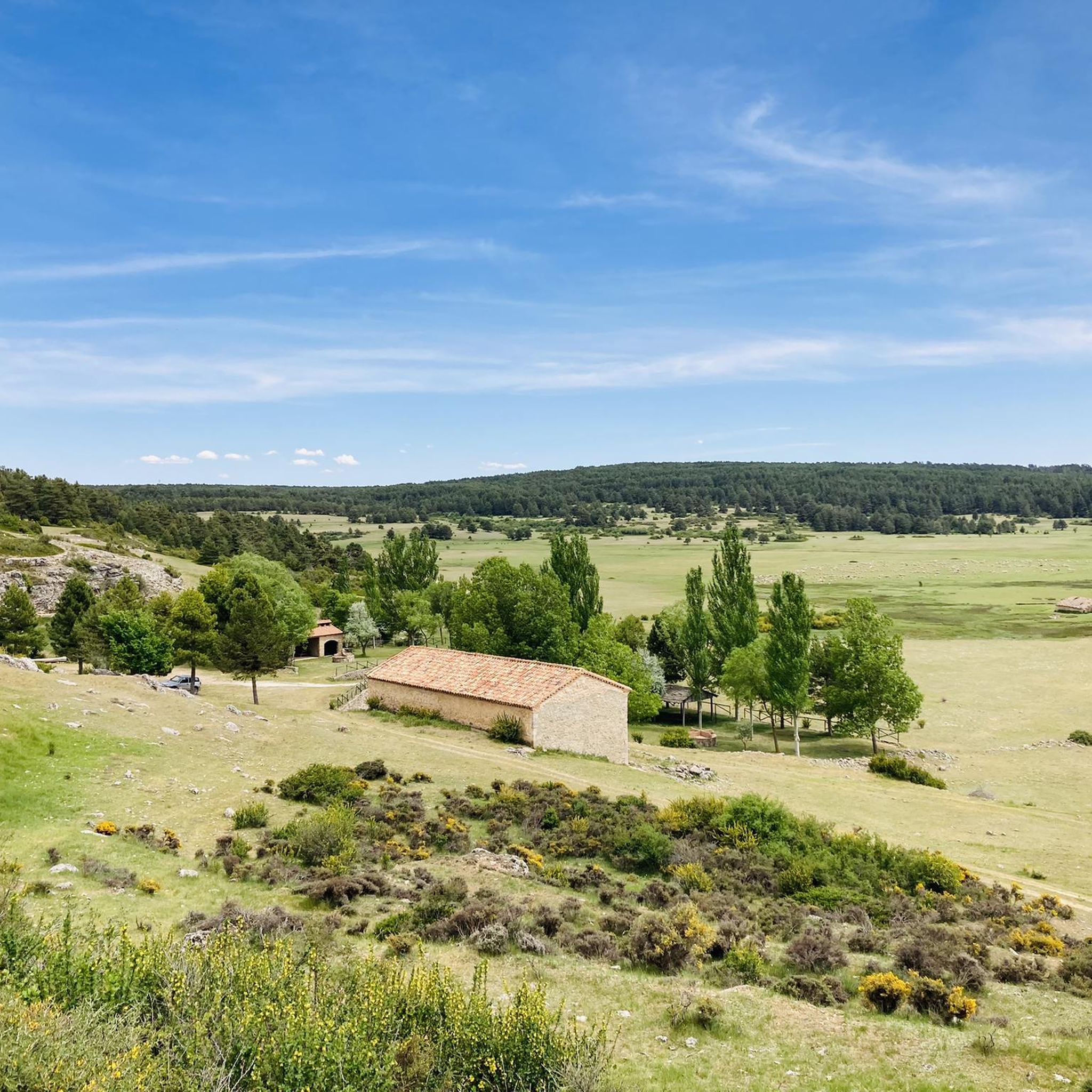
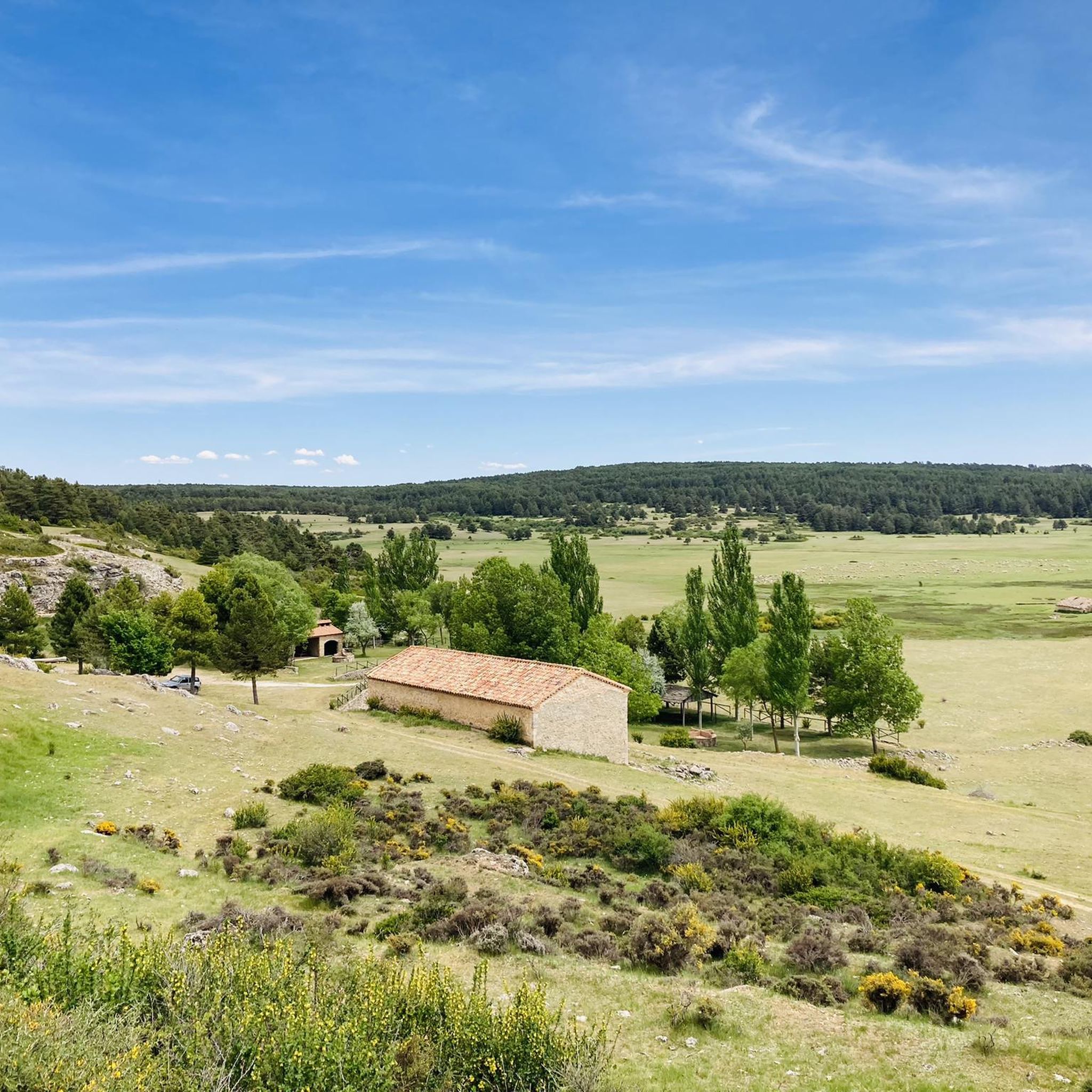
The official source of water is located at Fuente de García, in the Montes Universales, within the municipality of Frías de Albarracín (Teruel). It is located at an altitude of approximately 1,590 meters, surrounded by pine forests and high mountain meadows. Access is very easy and well signposted. Take the A-1704 highway, which connects Frías de Albarracín with Huélamo (Cuenca). From the highway, a paved detour of approximately 2 km takes you directly to the recreational area and the monument. There is free parking next to the monument.
10
0
Access is very easy and well signposted. Take the A-1704 highway, which connects Frías de Albarracín with Huélamo (Cuenca). From the highway, a paved detour of approximately 2 km takes you directly to the recreational area and the monument. There is free parking next to the monument.
5
0
Frequently Asked Questions
How many road cycling routes are available around Frías De Albarracín?
There are over 15 road cycling routes around Frías De Albarracín listed on komoot, offering a variety of experiences for different skill levels. These routes navigate the mountainous terrain, extensive pine forests, and river valleys of the Sierra de Albarracín Comarca.
Are there easy road cycling routes suitable for beginners or families in Frías De Albarracín?
While many routes in the region are challenging, there are options with moderate difficulty. For instance, the Albarracín – Guadalaviar Gorge loop from Noguera de Albarracín is a moderate 41.6 km trail that takes about 1 hour 57 minutes, offering a less strenuous option through scenic landscapes.
What kind of terrain can I expect on road cycling routes in Frías De Albarracín?
The region is characterized by mountainous terrain with varied gradients and scenic ascents through the Montes Universales. You'll encounter extensive pine forests, such as the Pinares del Rodeno, and ride alongside river valleys, including areas near the source of the Tagus River. This provides a diverse and often challenging cycling experience.
Are there challenging climbs for advanced road cyclists in the area?
Absolutely. Frías De Albarracín is known for its demanding routes. The Albarracín Old Town – Albarracín loop from Griegos, for example, is a difficult 85.1 km trail with significant elevation gain, offering sustained climbing through the mountainous landscape. Another challenging option is the El Cubillo Pass – Forest House Refuge loop from Terriente, which covers over 100 km with substantial ascents.
What is the best time of year for road cycling in Frías De Albarracín?
The region's mountainous climate suggests that spring and autumn offer the most pleasant conditions for road cycling, with milder temperatures and beautiful scenery. Summers can be warm, especially at lower elevations, while winters can bring colder temperatures and potentially snow in higher areas, making cycling more challenging.
Are there any circular road cycling routes available?
Yes, many of the routes in Frías De Albarracín are designed as loops, allowing you to start and end in the same location. Examples include the Bronchales Town Center – Orihuela del Tremedal loop from Tramacastilla and the Bronchales Town Center – Orihuela del Tremedal loop from Noguera de Albarracín, both offering comprehensive tours of the high-altitude terrain.
What natural attractions can I see along the road cycling routes?
The routes often pass by significant natural features. You might encounter the source of the Tagus River, extensive pine forests like Pinares del Rodeno, and unique geological formations such as the Sima de Frías. The region also features beautiful water features like the Herrería Waterfall and the Ojos del Cabriel.
Are there any viewpoints or scenic spots on the road cycling routes?
Yes, the mountainous terrain provides numerous rewarding panoramic views of the Sierra de Albarracín. Many routes traverse areas with scenic lookouts within the pine forests. You can also find specific viewpoints like the Upper views of the gorge along routes that pass through the gorges.
What do other road cyclists enjoy most about road cycling in Frías De Albarracín?
The area is highly rated by the komoot community, with an average score of 5.0 stars. Reviewers often praise the diverse and challenging terrain, the stunning natural environment with its vast pine forests and river valleys, and the rewarding panoramic views from the ascents.
Are there any historical or cultural landmarks near the cycling routes?
Beyond the natural beauty, the region is rich in history. The nearby town of Albarracín is a well-known medieval village with historic architecture. You might also find archaeological sites like El Castellar, revealing the region's Celtiberian past, and prehistoric cave paintings in locations such as the Cueva de la Peña de la Morería.
Where can I find parking for road cycling routes in Frías De Albarracín?
Many routes start from towns and villages within the Sierra de Albarracín Comarca, such as Griegos, Tramacastilla, Noguera de Albarracín, or Terriente. These locations typically offer public parking facilities, making them convenient starting points for your cycling adventures.
Most popular routes around Frías De Albarracín
Most popular attractions around Frías De Albarracín

Get inspired with the komoot mobile app


Explore more
Browse the best Road cycling routes in other regions.
