The best running trails around Puerto Castilla
160
runners
19
runs
Jogging routes around Puerto Castilla are situated on the northern coast of Honduras, characterized by its Caribbean coastline and surrounding natural landscapes. The area features sandy shores, views across Trujillo Bay, and is bordered by African Oil Palm plantations. The terrain primarily offers coastal paths and agricultural roads, with some routes extending into more varied natural settings.
Best jogging routes around Puerto Castilla
- The most popular jogging route is Hoya Moros and El Torreón Loop, a 8.7 miles (13.9…
Last updated: July 2, 2026
11
runners
13.9km
02:38
790m
780m
Hard run. Very good fitness required. Sure-footedness, sturdy shoes and alpine experience required.
3
runners
14.4km
02:45
890m
880m
Hard run. Very good fitness required. Sure-footedness, sturdy shoes and alpine experience required.

Sign up for free
3
runners
Hard run. Very good fitness required. Sure-footedness, sturdy shoes and alpine experience required.
23.9km
04:30
1,390m
1,390m
Hard run. Very good fitness required. Sure-footedness, sturdy shoes and alpine experience required.
1
runners
Hard run. Very good fitness required. Sure-footedness, sturdy shoes and alpine experience required.
Get access to more routes and recommendations from other explorers.
Sign up for free
Already have an account?
Our route recommendations are based on thousands of hikes, rides, and runs completed by other people on komoot.
Start today with a free account
Your next adventure awaits.
Login or Signup
Other adventures around Puerto Castilla

Tips from the Community

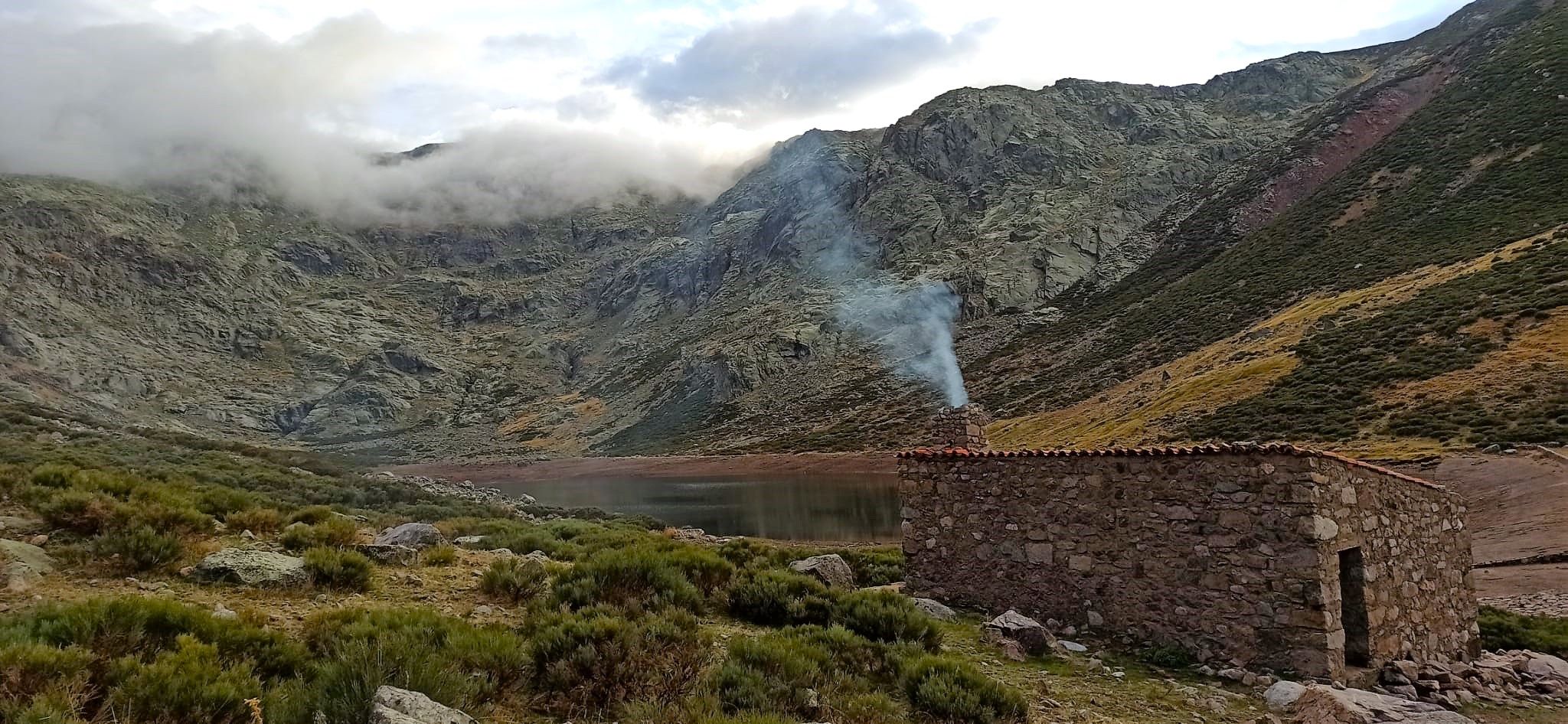
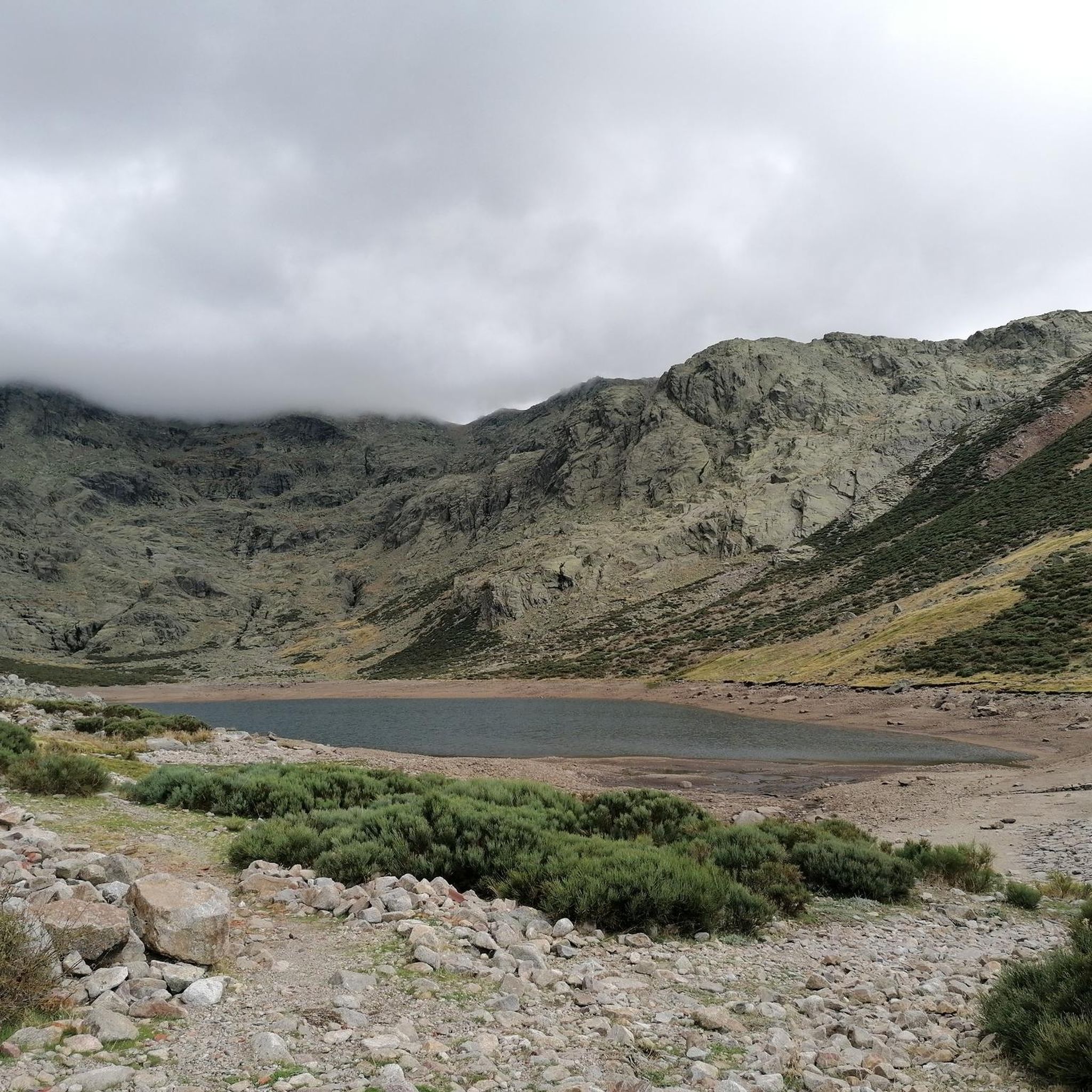
This lagoon is curious with respect to the rest since normally, glacial cirques tend to take a direction perpendicular to the ridge of the mountain, that is to say they descend in a north or south direction. This one, however, does it in an east direction, with the Covacha del Losar as the highest part!
0
1

At a distance of just 2 km from the Collado de Los Buitres mountain pass, a good area to enjoy nature and breathe fresh air.
7
0

The top of Canchal Negro is located at 2,364 meters above sea level within the Sierra de Candelario Natural Area, a wonderful place worth visiting. Getting here has its price, the road can be demanding and technical in some sections, but the views are very comforting.
1
0
Another of the most important peaks of the Sierra de Candelario Park, the Calvitero rises above 2400 meters above sea level, offering wonderful panoramic views worthy of a postcard.
2
0
Beautiful place! The. Lagunas del Trampal are 3 lakes of glacial origin within the Sierra de Gredos Park and worth visiting, the landscape is wonderful at any time of the year.
1
1
It is the highest peak in the province of Salamanca at 2,427 meters above sea level. The views are amazing but to get here you will have to make a significant physical effort since the journey is very demanding. Remember that the important thing is to enjoy the road and this beautiful landscape.
2
0
Nice valley in the heart of the Sierra de Candelario with beautiful views. If you are on your way to the top of Torreón from here the journey becomes quite demanding and through technical sectors, go carefully and firmly to enjoy this beautiful place!
2
0
Popularly known as "the roof of Extremadura", the top of the Torreón or Calvitero is located at 2400 meters above sea level and without a doubt the views from there are amazing! An ascent that is demanding but with several alternatives to choose from and all of them with spectacular views.
3
0
Frequently Asked Questions
How many running routes are available in Puerto Castilla?
There are 19 dedicated jogging routes around Puerto Castilla listed on komoot. These include 3 moderate and 16 difficult trails, offering options for various fitness levels.
What is the best time of year for jogging in Puerto Castilla?
The ideal time for outdoor activities like jogging in Puerto Castilla is during the dry season, which typically runs from March to August. This period offers pleasant weather for exploring the Caribbean coastline.
Are there any circular jogging routes in Puerto Castilla?
Yes, several circular routes are available. A popular option is the Calvitero and Lagunas del Trampal Circular Trail, which is a challenging 14.4 km path with varied terrain. Another is the Black Canchal via Las Cobatillas, an 8.7 km circular route.
What kind of landscapes can I expect on the jogging trails around Puerto Castilla?
Jogging routes in Puerto Castilla offer diverse landscapes, including scenic Caribbean coastlines, paths through vast African Oil Palm plantations, and views across Trujillo Bay. Some trails also lead through more varied natural settings, including mountainous terrain.
Are there any easy or beginner-friendly running routes?
While many routes are classified as difficult, there are 3 moderate jogging routes available for those seeking a less strenuous experience. The region's flat beach areas and plantation roads also offer opportunities for easier, self-guided runs.
What are some long-distance running trails near Puerto Castilla?
For longer runs, consider the Circos de Nava y de la Laguna del Barco, a challenging 23.2 km trail through mountainous landscapes. Another option is the Calvitero and Canchal de la Ceja Loop Trail, which spans nearly 24 km.
What interesting sights or landmarks can I see along the jogging routes?
Many routes offer stunning natural sights. You might encounter highlights such as the Charco del Trabuquete waterfall, the impressive Torreón (Calvitero Summit), or the dramatic Garganta de la Nava gorge. The area also features historical Spanish fortifications and old barracks from the United Fruit presence.
Can I find routes with good viewpoints in Puerto Castilla?
Absolutely. As Puerto Castilla is situated on a peninsula, many routes offer picturesque views across Trujillo Bay. Trails leading to summits like Calvitero Peak or Canchal de la Ceja provide expansive vistas of the surrounding natural landscapes.
What do other runners say about the jogging experience in Puerto Castilla?
Over 160 runners have used komoot to explore Puerto Castilla's varied terrain. While specific ratings are not available, the community frequently praises the unique blend of Caribbean coastline, views of Trujillo Bay, and the distinctive paths through African Oil Palm plantations.
Are there other beaches nearby that are suitable for running?
Yes, beyond Puerto Castilla Beach, you can explore other highly-rated beaches within a short distance. These include Delfines Bay, Trujillo Beach, and Tranquility Bay, all offering additional opportunities for varied coastal runs.
What is the terrain like for running in Puerto Castilla?
The terrain primarily consists of coastal paths and agricultural roads, particularly through the African Oil Palm plantations. Some routes extend into more varied natural settings, including mountainous areas with significant elevation changes, especially on the more difficult trails.
Most popular attractions around Puerto Castilla

Get inspired with the komoot mobile app


Explore more
Browse the best Running Trails & Routes in other regions.
