The best walks and hikes around Puerto Castilla
4.7
(145)
1,036
hikers
46
hikes
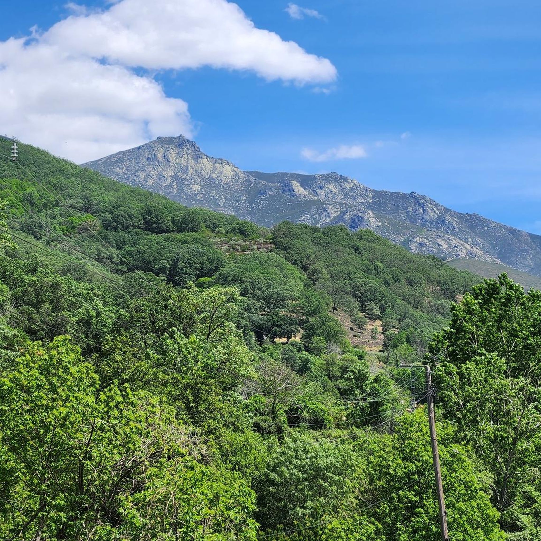
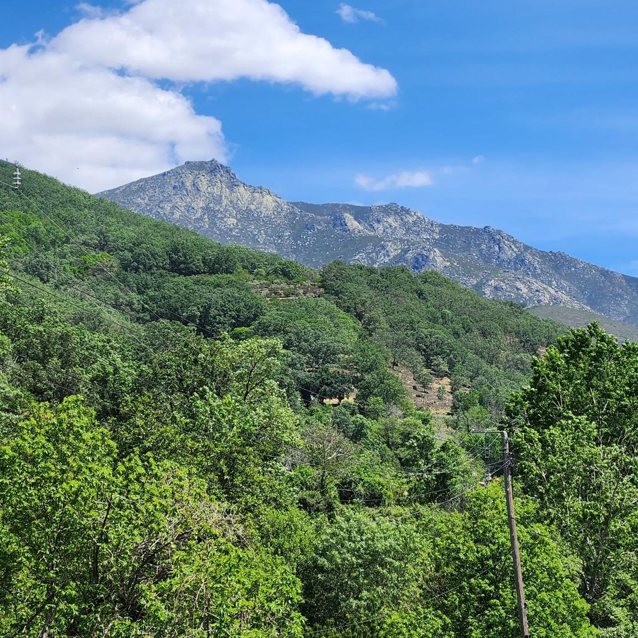
Hiking around Puerto Castilla offers access to the mountainous terrain of the Sierra de Gredos, characterized by rugged peaks, deep valleys, and natural water features. The region provides diverse trails that traverse varying elevations and landscapes. These routes often lead through areas with significant natural beauty, including high-altitude lagoons and dense forest sections. The topography supports a range of hiking experiences, from moderate paths to challenging ascents.
Best hiking trails around Puerto Castilla
- The most popular hiking route is Laguna…
Last updated: July 8, 2026
4.4
(5)
31
hikers
5.08km
02:09
240m
240m
Moderate hike. Good fitness required. Mostly accessible paths. Sure-footedness required.
4.0
(1)
10
hikers
Hard hike. Very good fitness required. Mostly accessible paths. Sure-footedness required.

Sign up for free
1
hikers
15.2km
07:11
1,040m
1,040m
Hard hike. Very good fitness required. Mostly accessible paths. Sure-footedness required.
2
hikers
8.46km
03:01
400m
400m
Hard hike. Good fitness required. Sure-footedness, sturdy shoes and alpine experience required.
5.0
(5)
30
hikers
4.07km
01:56
280m
280m
Moderate hike. Great for any fitness level. Mostly accessible paths. Sure-footedness required.
Get access to more routes and recommendations from other explorers.
Sign up for free
Already have an account?
Our route recommendations are based on thousands of hikes, rides, and runs completed by other people on komoot.
Start today with a free account
Your next adventure awaits.
Login or Signup
Other adventures around Puerto Castilla

Tips from the Community

The information value of the photos is zero! OK, there is water, but what are the paths like, their condition, etc.
1
1

It is essential to see it and enjoy it if you are in the area
2
0

This impressive natural setting is one of those that remain stuck in the retina. With no more and no less than 13 natural pools, this incredible ravine shows off curious rock formations, the result of the action of water. It could be said that it is the heart of the Garganta de los Infiernos nature reserve.
3
1

It is the highest peak in the province of Salamanca at 2,427 meters above sea level. The views are amazing but to get here you will have to make a significant physical effort since the journey is very demanding. Remember that the important thing is to enjoy the road and this beautiful landscape.
2
0
Located at 1,275 meters above sea level, it is recognized as a historic mountain pass in the Sierra de Gredos and represents the physical division point of the Duero and Tagus basins. This site has been the passage of several civilizations. over the centuries and represents a site of great historical importance for the area.
1
0
This picturesque and colorful route runs through the valley of the Jerte River between Tornavacas and the town of Jerte, passing through the Pilones and the Garganta de los Infiernos nature reserve. It is advisable to do it during the cherry blossom weeks, between the end of March and the beginning of April, when you can appreciate the beautiful landscape worthy of a postcard.
2
0

Through the Hoya Moro can be seen
1
0
Some stone milestones lead you to the top. It is the highest point in the province of Salamanca.
1
0
Frequently Asked Questions
How many hiking trails are available around Puerto Castilla?
There are over 40 hiking trails around Puerto Castilla, offering a wide range of experiences. These include 1 easy route, 22 moderate routes, and 19 difficult routes, catering to various skill levels.
Are there any circular hiking routes in the area?
Yes, Puerto Castilla offers several circular routes. A notable option is the Canchal de la Ceja and Laguna del Duque Loop, a challenging 9.4-mile (15.2 km) trail that takes you through high mountain landscapes and typically requires about 7 hours and 11 minutes to complete.
What kind of natural features can I expect to see on hikes near Puerto Castilla?
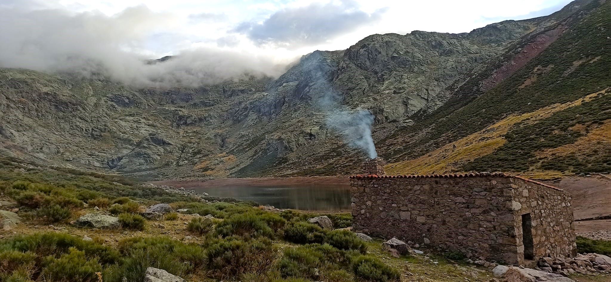
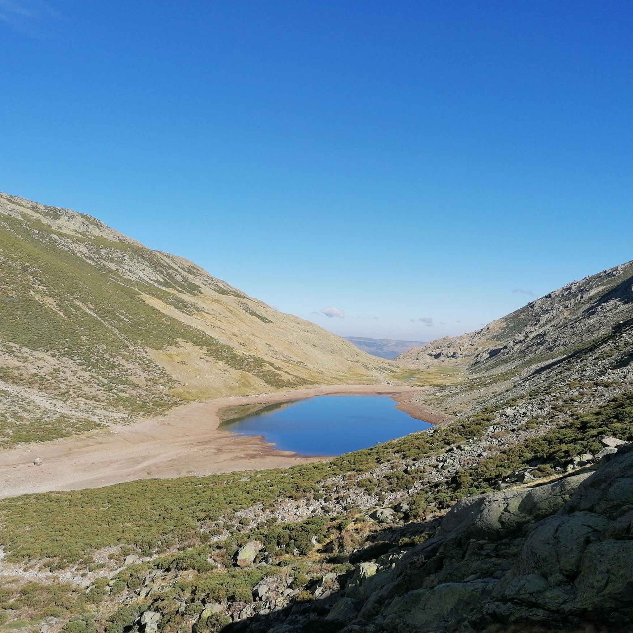
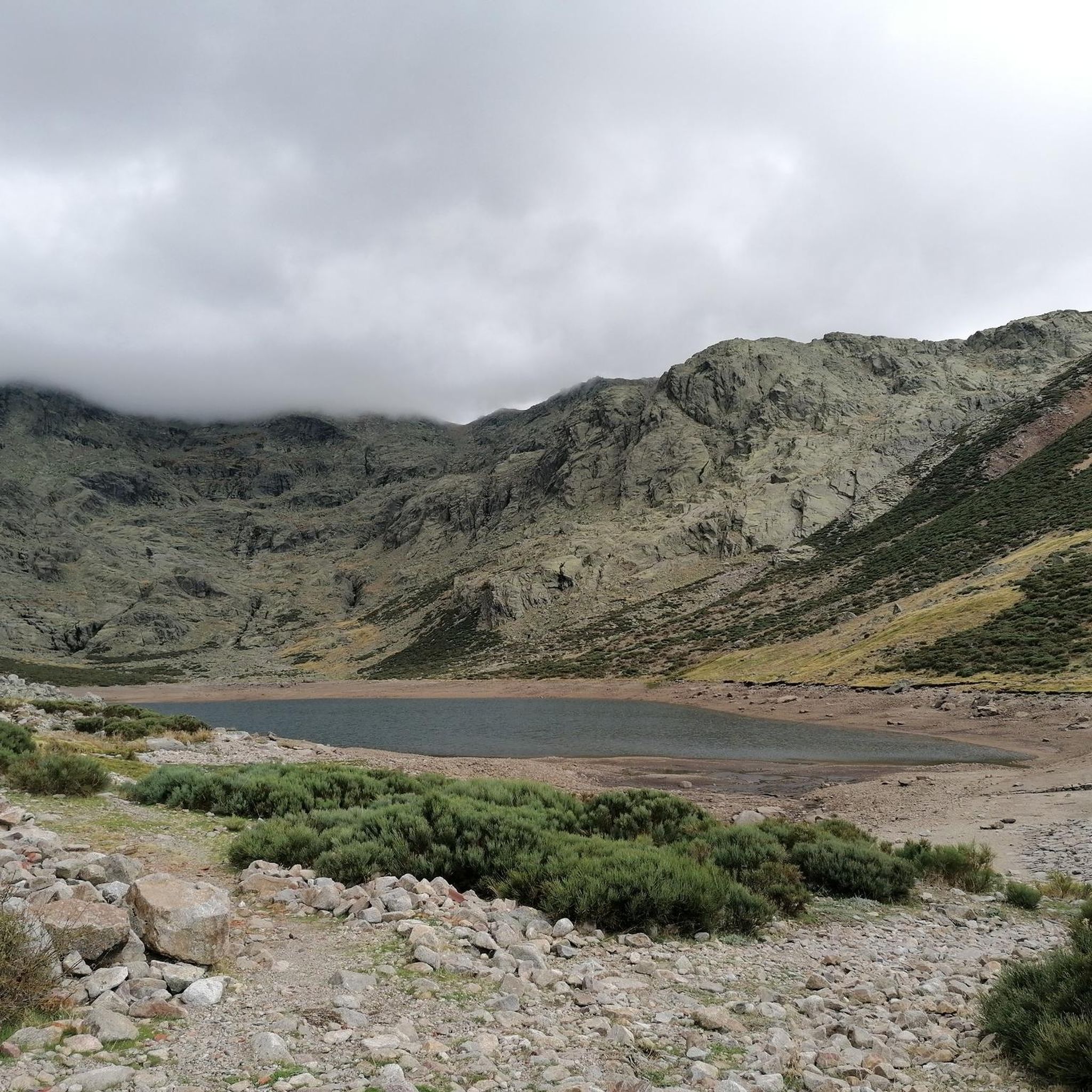
Hikes around Puerto Castilla often feature rugged peaks, deep valleys, and natural water features characteristic of the Sierra de Gredos. You can expect to encounter high-altitude lagoons, dense forest sections, and diverse mountainous terrain. For example, the Laguna del Duque Trail leads to a beautiful high-altitude lagoon.
Are there any waterfalls or significant water features to visit?
Yes, the region features natural water elements. One notable spot is Charco del Trabuquete, which is a waterfall highlight in the area, offering a scenic natural attraction.
What are some family-friendly hiking options near Puerto Castilla?
While many routes in Puerto Castilla are moderate to difficult, there is at least one easy route available. For families, it's best to look for shorter, less strenuous paths. The region's natural beauty, including its forests and water features, can be enjoyed on less challenging sections of trails.
What do other hikers say about the trails in Puerto Castilla?
The trails in Puerto Castilla are highly regarded by the komoot community, with an average rating of 4.6 stars from over 120 reviews. Hikers often praise the diverse terrain, the stunning mountain landscapes, and the opportunities to explore natural reserves.
Are there any historical landmarks or points of interest along the hiking routes?
Yes, the area around Puerto Castilla offers several historical and cultural points of interest. You can explore the Carlos V Bridge or visit the historic Valdecorneja Castle. These attractions can be integrated into your hiking plans to add a cultural dimension to your outdoor experience.
What is the difficulty level of hikes in Puerto Castilla?
Hiking around Puerto Castilla offers a range of difficulty levels. There is 1 easy route, 22 moderate routes, and 19 difficult routes. This variety ensures options for beginners seeking gentle walks as well as experienced hikers looking for challenging ascents and long-distance trails.
Can I find trails that go through natural reserves?
Absolutely. The region is home to natural reserves that offer unique hiking experiences. A challenging option is the Tornavacas - Los Pilones via the cherry blossom route – Garganta de los Infiernos Natural Reserve (PR-CC 2), a 14.9-mile (23.9 km) path that explores varied terrain within a protected area.
Are there any trails that lead to mountain peaks or high viewpoints?
Yes, many trails in Puerto Castilla lead to impressive mountain peaks and offer panoramic views. Notable summits in the vicinity include Torreón (Calvitero Summit) and Canchal de la Ceja, providing rewarding destinations for hikers seeking elevated perspectives.
What is a good moderate hike to experience the region's features?
For a moderate experience that showcases the region's natural beauty, consider the Laguna del Duque Trail. This 3.2-mile (5.1 km) path features a steady climb towards a high-altitude lagoon and typically takes around 2 hours and 9 minutes to complete.
Are there any routes that follow historical paths or long-distance trails?
Yes, you can find routes that incorporate historical paths. The Puerto de Tornavacas via the Carlos V Route (GR 10) is a challenging 5.3-mile (8.5 km) hike that follows a significant historical route, offering both natural beauty and a sense of history.
Most popular attractions around Puerto Castilla

Get inspired with the komoot mobile app


Explore more
Browse the best Hikes in other regions.
