The 20 Most Amazing Peaks around Montanuy
Best mountain peaks around Montanuy are found in the Aragonese Pyrenees, serving as a gateway to the Posets-Maladeta Natural Park. This region features high-altitude peaks and glacial formations. The area is known for its challenging yet rewarding trekking opportunities, offering access to some of Spain's most spectacular mountain landscapes.
Best mountain peaks around Montanuy
- The most popular mountain peaks is Salvaguardia Peak, a summit that offers phenomenal panoramic views of Luchon and the great mountains of the Valle de…
Last updated: August 30, 2026
Picada Pass
Highlight • Mountain Pass
very beautiful, with unbeatable views of the north face of Maladeta.
The path is well defined …
Translated by Google •
Tip by

Pico de Aneto Summit
Highlight • Summit
Translated by Google •
Tip by

Sign up now to discover places like this
Get recommendations on the best single tracks, peaks, & plenty of other exciting outdoor places.
Sign up for free
Bonansa Pass
Highlight • Mountain Pass
Translated by Google •
Tip by

Salvaguardia Peak
Highlight • Summit
To Puerto de Benasque good trails. Also suitable for …
Translated by Google •
Tip by

Mahoma Pass
Highlight • Climb
Translated by Google •
Tip by

Sign up for free to discover even more peaks around Montanuy.
Sign up for free
Already have an account?
Start today with a free account
Your next adventure awaits.
Login or Signup
Popular around Montanuy
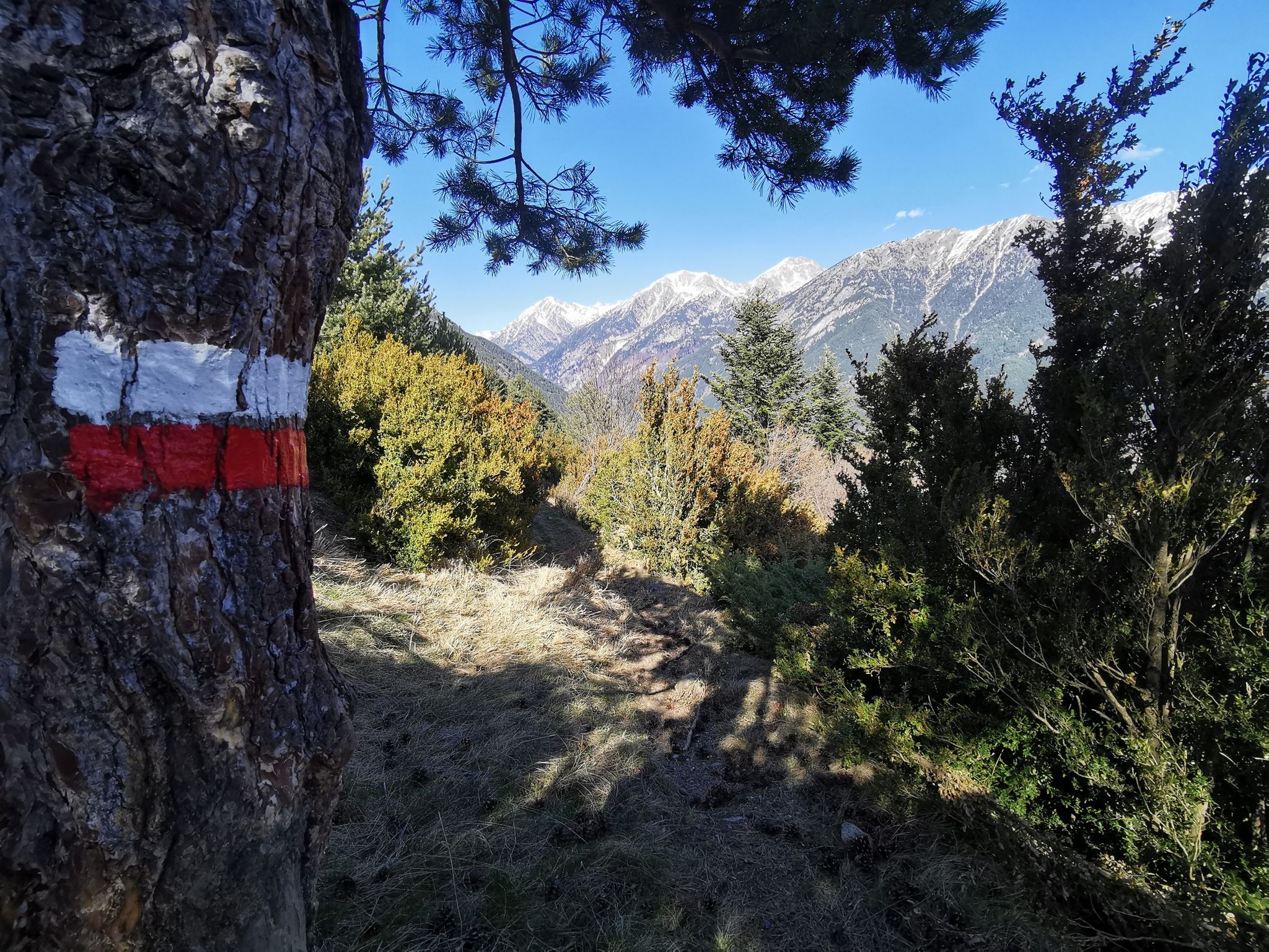
Journey to the heart of the Pyrenees – Ribagorza Path (GR 18)
The Ribagorza from north to south – GR 18 Pyrenees MTB trail
Aragon along the Pyrenean Trail – GR 11
Hiking around Montanuy
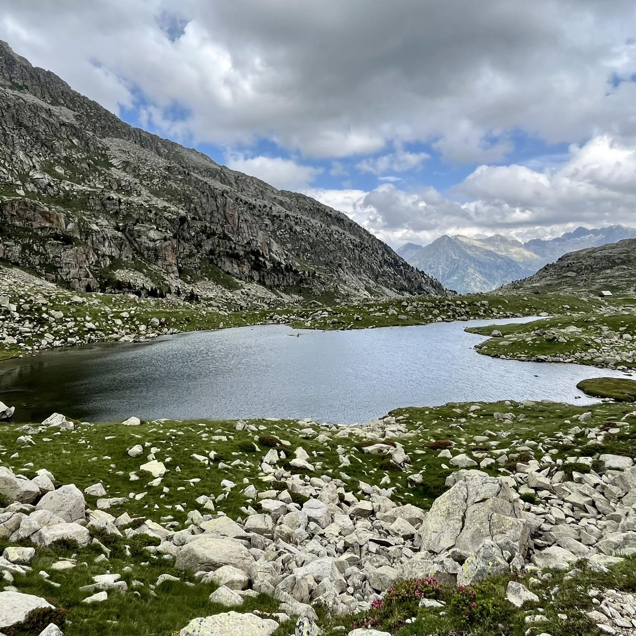
Road Cycling Routes around Montanuy
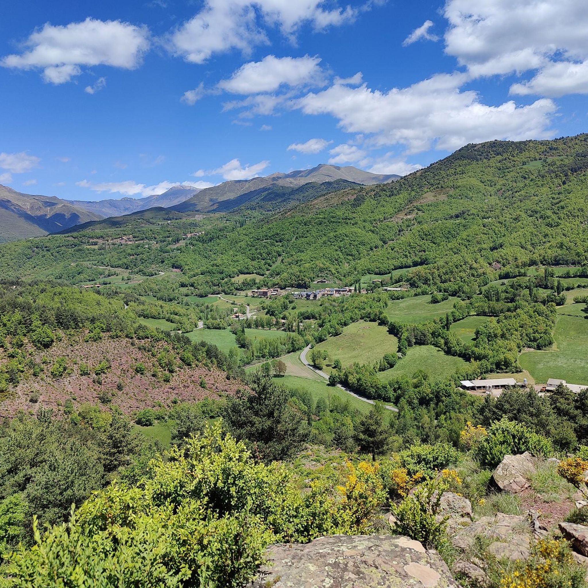
Running Trails around Montanuy
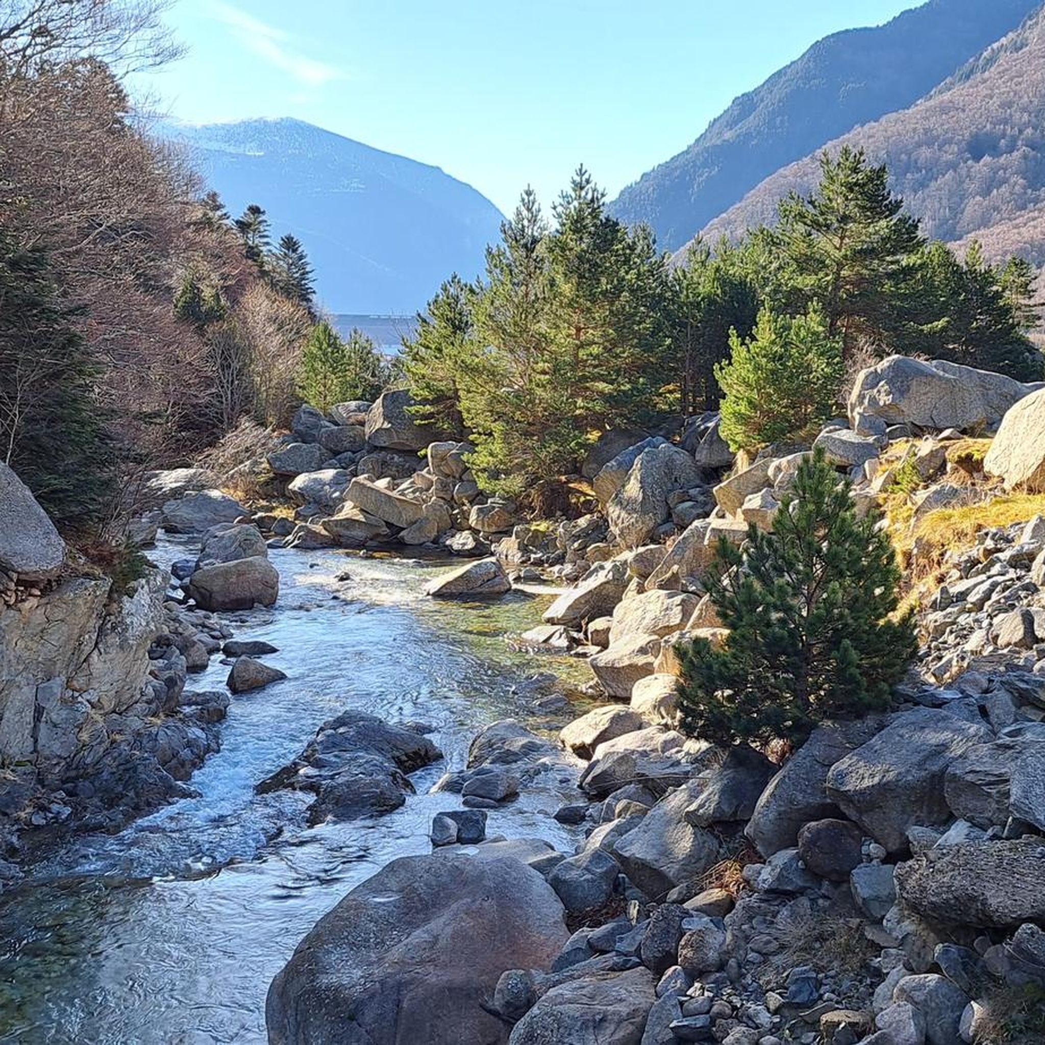
Cycling around Montanuy
MTB Trails around Montanuy

Mountain Hikes around Montanuy
Gravel biking around Montanuy
Other adventures around Montanuy


Tips from the Community

The highest peak in the Pyrenees mountaineering region.
1
0

The highest peak in the Pyrenees and the one everyone wants to climb. Its demands are more physical than technical, with the exception of the Mahoma Pass, not suitable for those with vertigo, and the Aneto Glacier, which is recommended to avoid in the middle of summer when the hard centuries-old ice is exposed and landslides increase due to melting. At the top you will find a gigantic metal cross, a statue of the Virgen del Pilar and a small bust of San Marsial, patron saint of Benasque. Each of them installed by different groups that want to make their own a piece of this colossus that, although it is difficult to believe, went unnoticed for centuries in the shadow of the apparently more prominent Tuca de la Maladeta (from the Occitan "Mall Hita", the 'high peak').
1
0

A table-bench combination in the shade of the forest.
1
0

This port connects the Noguera Ribagorzana river basin with the Sis valley and the Isábena basin, right on the border between Catalonia and Aragon. From Bonansa, the pass is a little over six kilometers long, with a fairly constant average drop of around 7%. Its other slope, the one that follows the Obarra gorge until it crowns the port, is much longer. It is 15 kilometers long, but it is very flat, with percentages around 3%, until it practically reaches the top, where the last two kilometers present considerable unevenness, with ramps of more than 15%.
0
0

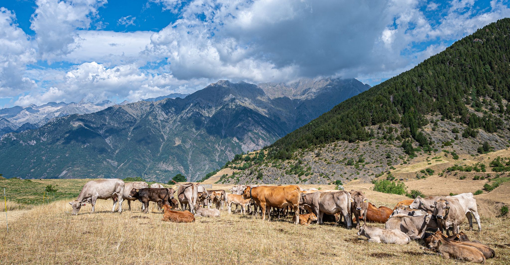
The port of Bonansa is located at an altitude of 1,380 meters, in an open area from which you can see the panorama of the surrounding mountains. The climb is demanding, but worth it.
1
0

The port of Bonansa is located at an altitude of 1,380 meters. On one side of the pass is the town of Bonansa, and on the other, an extensive pine forest that marks the beginning of the descent to the Obarra gorge.
0
0

Aneto is the highest peak in the Pyrenees and the second highest in the Iberian Peninsula, with an altitude of 3,404 meters above sea level. It is located in the Posets-Maladeta Natural Park, in the Spanish municipality of Benasque, province of Huesca, autonomous community of Aragon. It is part of the Maladeta massif and, located in the Benasque valley, is made up of Paleozoic terrain of granitic nature and Mesozoic materials. On its northern face, starting at approximately 2810 m, is the largest glacier in the Pyrenees, with about 100 hectares of surface, which is, like many in the world, in clear regression as a consequence of climate change (it is estimates that in the last 100 years it has lost more than half of its surface, and that in 30 or 40 years it may disappear).
2
0

The Aneto, roof of the Pyrenees and watchtower over the park, is a symbol and a challenge for mountaineers who come to this natural park to climb to 3404 meters high. The most frequented routes are the one on the north side from Besurta, and the one on the south side from the Coronas bridge to Vallibierna.
3
0
Frequently Asked Questions
What are some of the most popular mountain peaks and passes around Montanuy?
The region around Montanuy, particularly within the Posets-Maladeta Natural Park, offers several notable peaks. Among the most popular are Salvaguardia Peak, known for its phenomenal panoramic views of Luchon and the Benasque Valley, and Picada Pass, which offers unbeatable views of the north face of Maladeta. The highest peak in the Pyrenees, Pico de Aneto Summit, is also a highly sought-after destination for experienced mountaineers.
What kind of terrain can I expect when hiking in the mountains near Montanuy?
The mountains around Montanuy are part of the Aragonese Pyrenees, characterized by rugged granite formations, high-altitude peaks, and glacial features. You'll encounter diverse terrain ranging from well-defined paths, especially on passes like Picada Pass, to challenging rocky sections, narrow ridges, and even glacial ice on higher summits like Aneto. The area also features numerous 'ibones' (glacial lakes) and varied vegetation from forests to alpine flora.
Are there challenging mountain climbs for experienced mountaineers near Montanuy?
Yes, Montanuy is a gateway to some of the most challenging climbs in the Pyrenees. The ascent of Pico de Aneto Summit is demanding, requiring good physical condition and alpine experience, especially due to its length and the presence of the largest glacier in the Pyrenees. The infamous Mahoma Pass, a narrow and exposed ridge near Aneto's summit, is particularly challenging and not suitable for those with vertigo.
What natural features can I see in the Montanuy mountain environment?
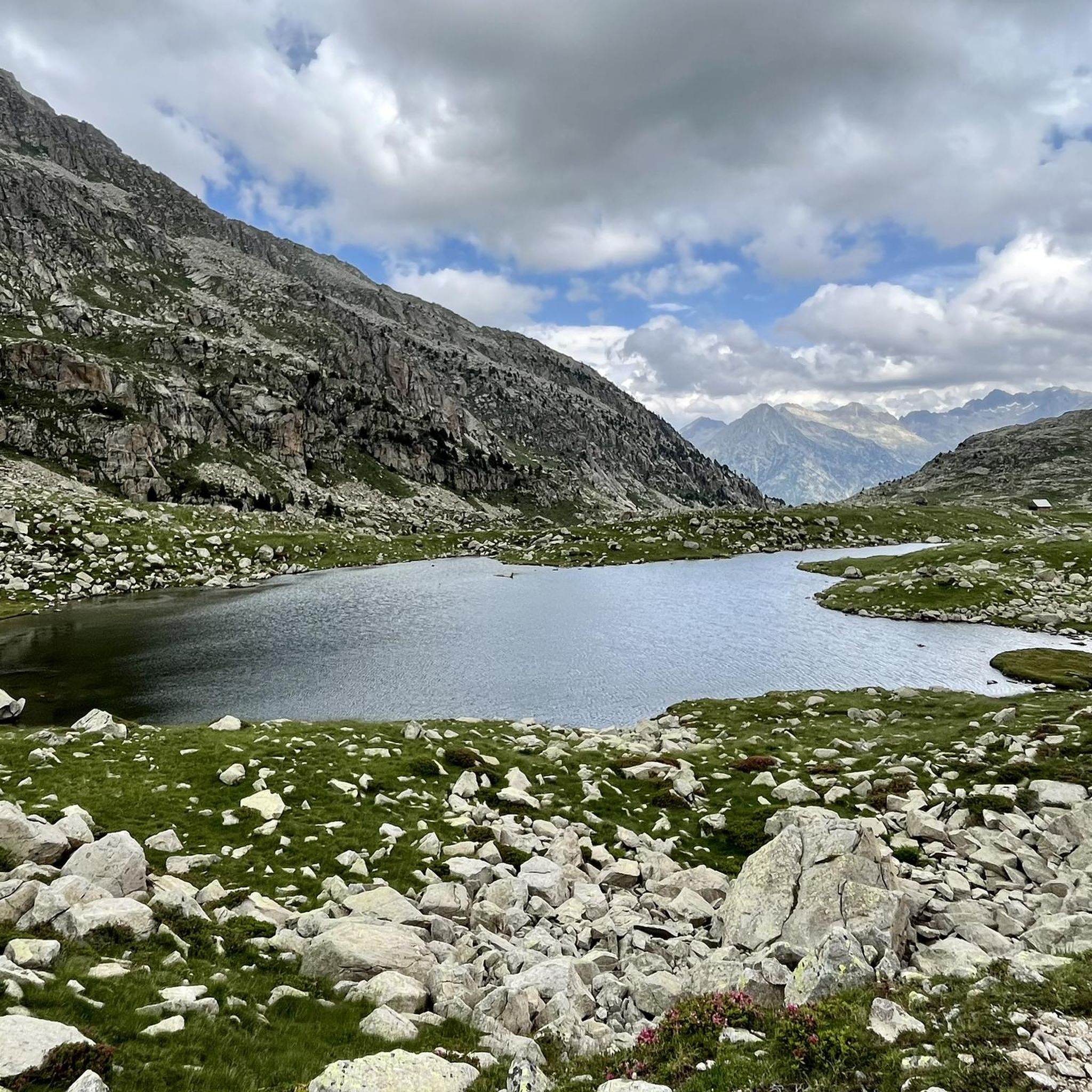
The mountains around Montanuy, within the Posets-Maladeta Natural Park, are rich in natural beauty. You can expect to see stunning glacial valleys, over a hundred 'ibones' (blue water mountain lakes), impressive waterfalls, and some of Europe's southernmost permanent glaciers. The landscape is dominated by rugged granite formations and offers breathtaking panoramic views from various viewpoints and summits.
What is the best time to visit the mountain peaks around Montanuy?
The best time for hiking and mountaineering in the Montanuy region is typically during the late spring, summer, and early autumn months (June to September). During this period, the weather is generally more stable, and snow has largely melted from most trails, making them more accessible. However, for high-altitude peaks like Aneto, alpine experience and equipment are necessary even in summer due to the glacier and potential for rapidly changing weather.
Are there family-friendly mountain walks or trails suitable for children near Montanuy?
While many peaks are challenging, some areas offer more accessible options. For example, the trails leading to Salvaguardia Peak are generally good, and the highlight notes that they are suitable for children and dogs, though caution is advised on a narrow path with a steel cable. The region also has numerous marked trails of varying difficulty, so it's possible to find moderate hikes suitable for families.
What outdoor activities can I do near the mountain peaks around Montanuy?
Beyond summiting peaks, the Montanuy area offers a wide range of outdoor activities. You can explore numerous hiking trails, from moderate walks to difficult mountaineering routes. For example, you can find routes like the Salenques Beech Forest and Pi Waterfall Trail or the Llauset Lakes Loop. There are also options for road cycling, with routes such as the Bonansa Loop. For more detailed information on routes, you can check the Hiking around Montanuy and Mountain Hikes around Montanuy guides.
Are there mountain refuges available for multi-day treks in the Montanuy area?
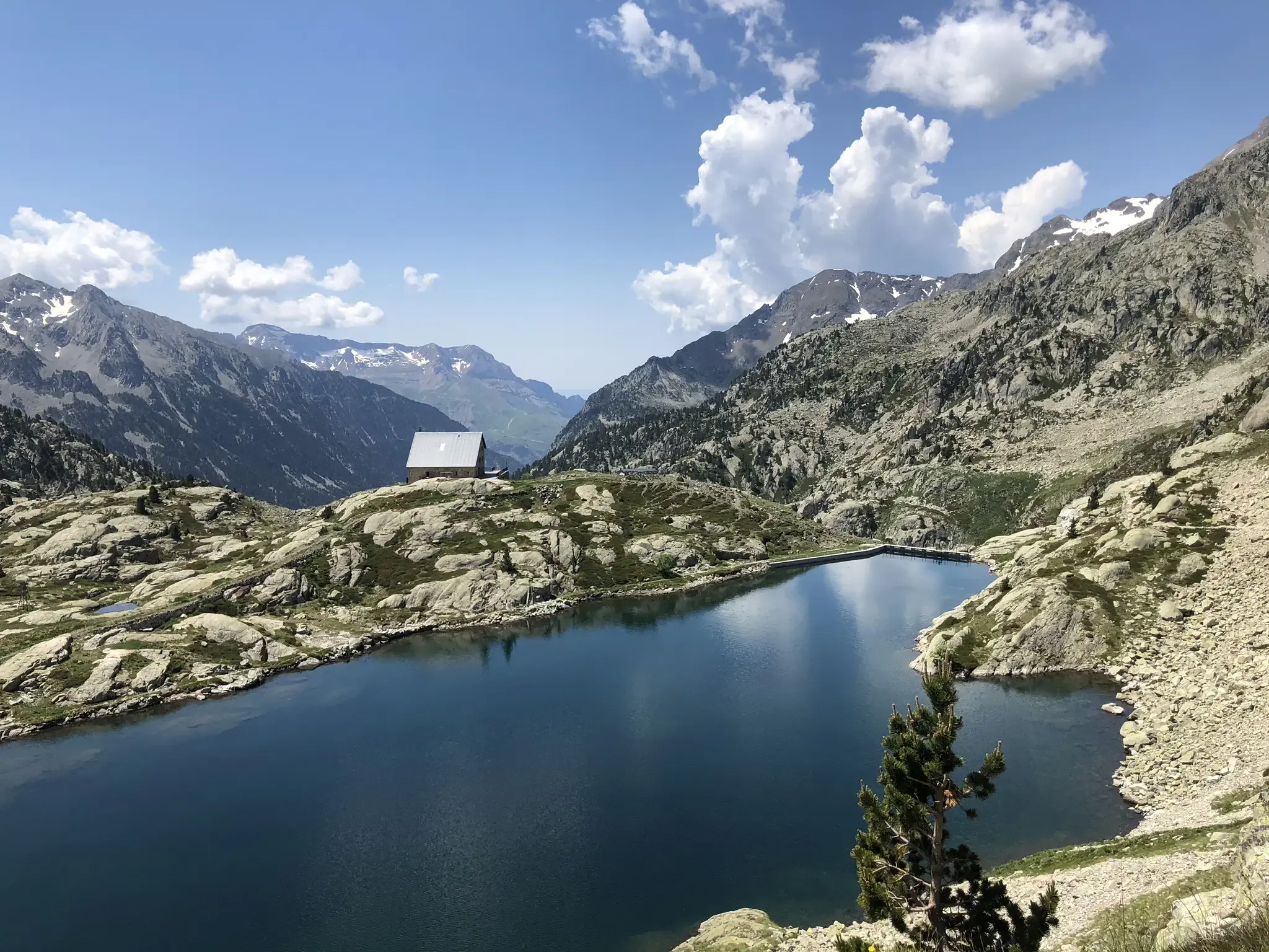
Yes, the region provides essential support for multi-day treks and ascents. Facilities like the Cap de Llauset refuge and La Renclusa mountain hut serve as common starting points and overnight stops for those undertaking longer expeditions, especially for ascents of peaks within the Maladeta Massif.
What wildlife and flora can I observe in the mountains near Montanuy?
The Posets-Maladeta Natural Park, encompassing the mountains around Montanuy, supports diverse wildlife. You might spot chamois, deer, and wild boar, along with various birds of prey such as the golden eagle and bearded vulture. The vegetation varies significantly with altitude, from forests of pine and fir in lower areas to hardy alpine flora higher up.
What is the 'Paso a Caballo' and where can I find it?
The 'Paso a Caballo' (Horse Pass) is a distinctive and exciting feature found on the ascent of Vallibierna Peak (3,067 m) and Tuca de Culebras (3,062 m). It is a narrow and exposed ridge connecting these two summits, adding a thrilling element to the climb. These peaks are located south of the Maladeta massif, often accessed from the Llauset lake/reservoir area.
What makes <a href="https://www.komoot.com/highlight/269310" target="_blank" rel="noopener">Bonansa Pass</a> a noteworthy spot?
Bonansa Pass, situated at an altitude of 1,380 meters, offers an open area with panoramic views of the surrounding mountains. While the climb to the pass is demanding, it is considered rewarding. It also marks the beginning of a descent into the Obarra gorge and features a table-bench combination in the shade of a forest, making it a pleasant stop.
Most popular routes around Montanuy
Most popular attractions around Montanuy

Get inspired with the komoot mobile app


Explore more
See even more amazing summits around Montanuy with these guides:
