The best mountain hikes around Montanuy
5.0
(3)
137
hikers
11
hikes
Mountaineering routes around Montanuy are situated within a high-mountain environment, characterized by rugged peaks, deep valleys, and alpine lakes. The region's terrain includes significant elevation changes, rocky ascents, and exposed ridges, typical of the Pyrenean landscape. These routes often traverse above the tree line, offering expansive views and challenging conditions for experienced mountaineers.
Best mountaineering routes around Montanuy
- The most popular mountaineering route is Portillón Superior – Pico de Aneto Summit loop from Renclusa Refuge, a 7.3 miles (11.8…
Last updated: July 4, 2026
13
hikers
11.1km
08:11
1,310m
1,310m
Hard mountaineering route. Very good fitness required. Sure-footedness, sturdy shoes and alpine experience required.
18
hikers
Hard mountaineering route. Very good fitness required. Sure-footedness, sturdy shoes and alpine experience required.

Sign up for free
15
hikers
17.1km
07:45
1,180m
1,180m
Hard mountaineering route. Very good fitness required. Sure-footedness, sturdy shoes and alpine experience required.
5.0
(1)
11
hikers
11.5km
05:53
930m
930m
Hard mountaineering route. Very good fitness required. Sure-footedness, sturdy shoes and alpine experience required.
9
hikers
6.22km
02:17
190m
190m
Moderate mountaineering route. Good fitness required. Mostly accessible paths. Sure-footedness required.
Get access to more routes and recommendations from other explorers.
Sign up for free
Already have an account?
Our route recommendations are based on thousands of hikes, rides, and runs completed by other people on komoot.
Start today with a free account
Your next adventure awaits.
Login or Signup
Popular around Montanuy
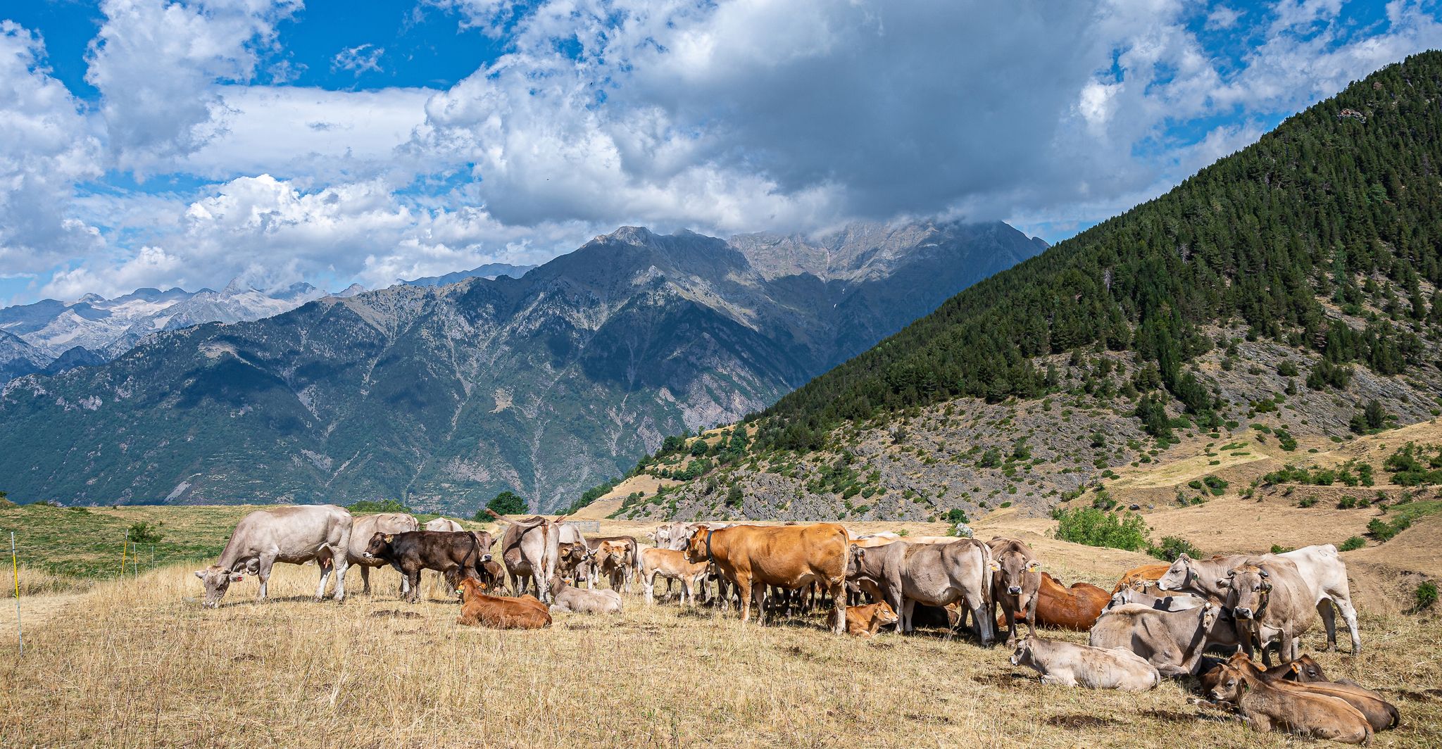
Journey to the heart of the Pyrenees – Ribagorza Path (GR 18)
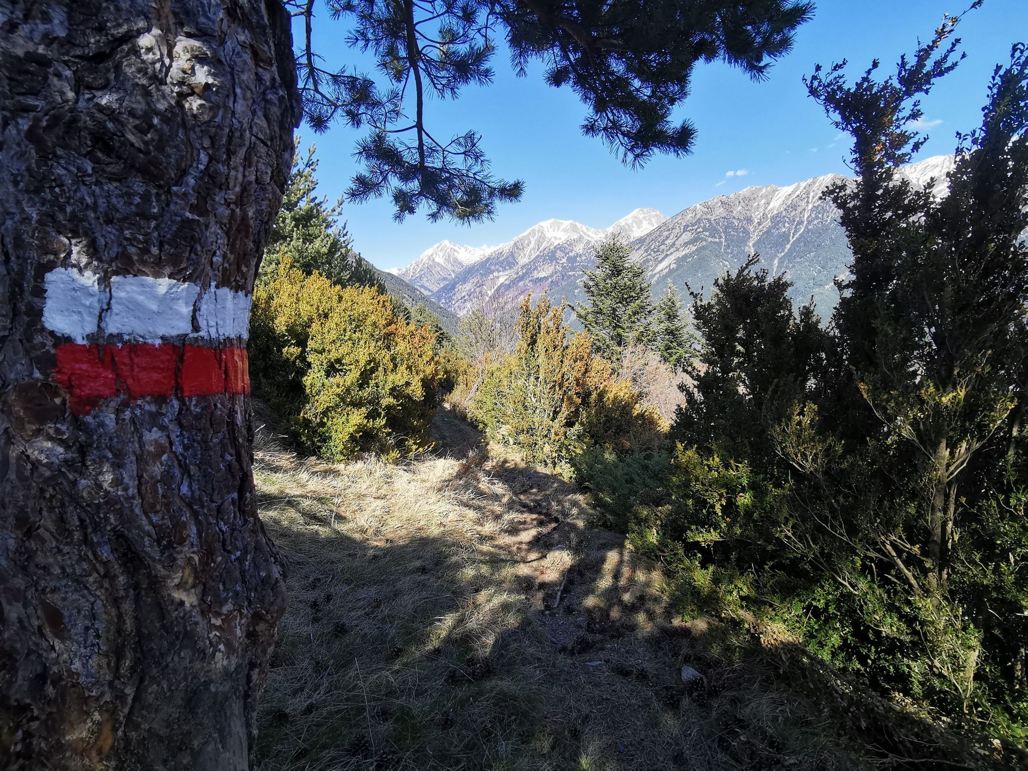
The Ribagorza from north to south – GR 18 Pyrenees MTB trail
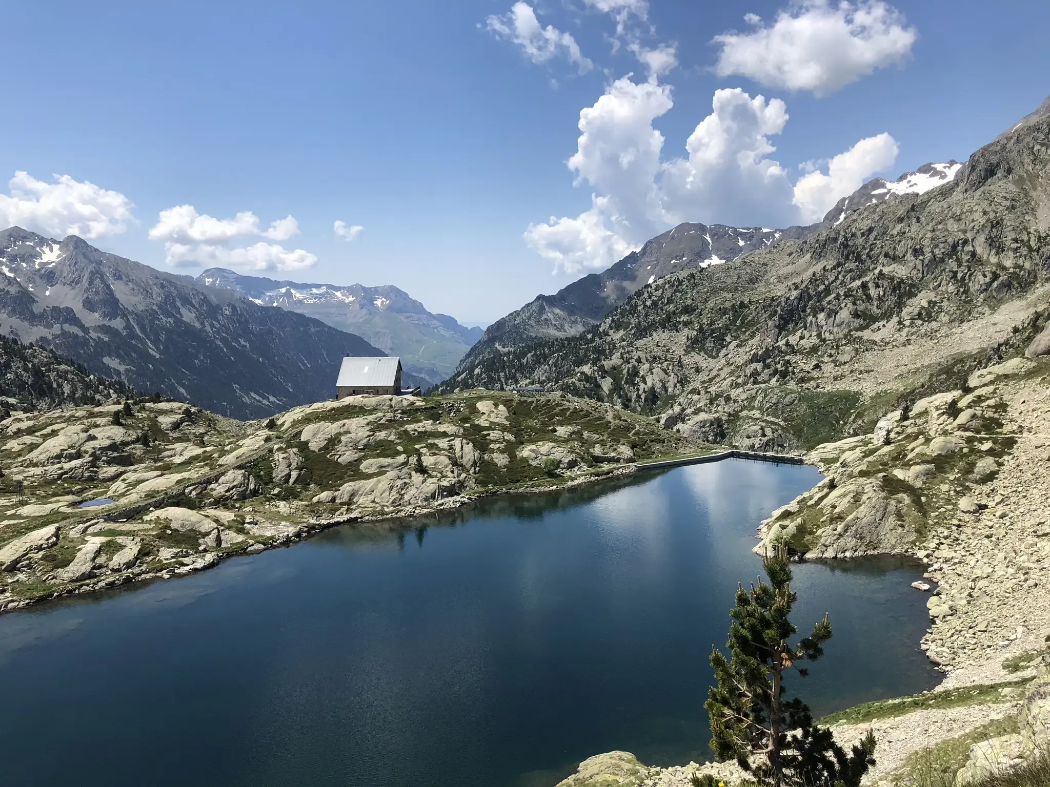
Aragon along the Pyrenean Trail – GR 11
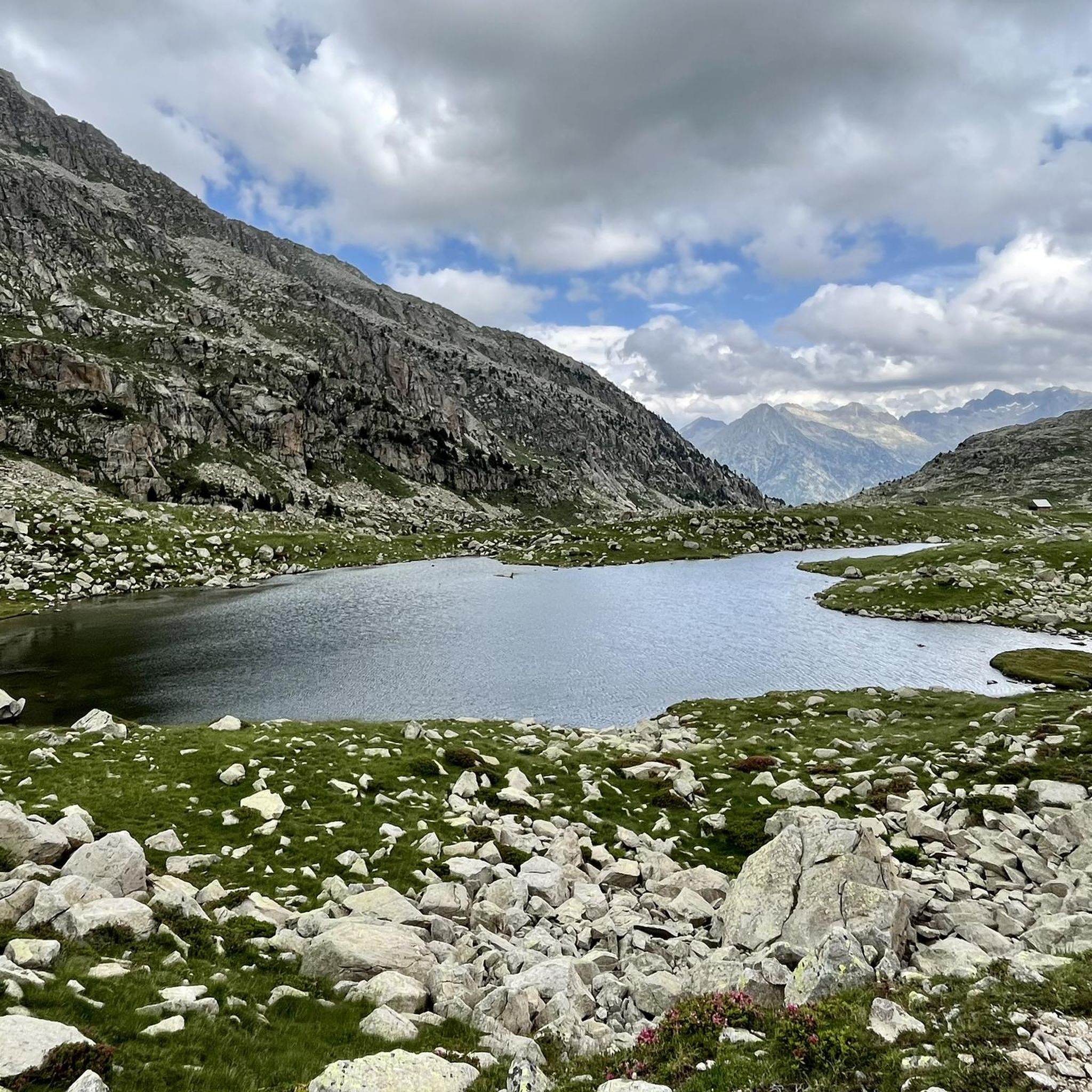
Hiking around Montanuy
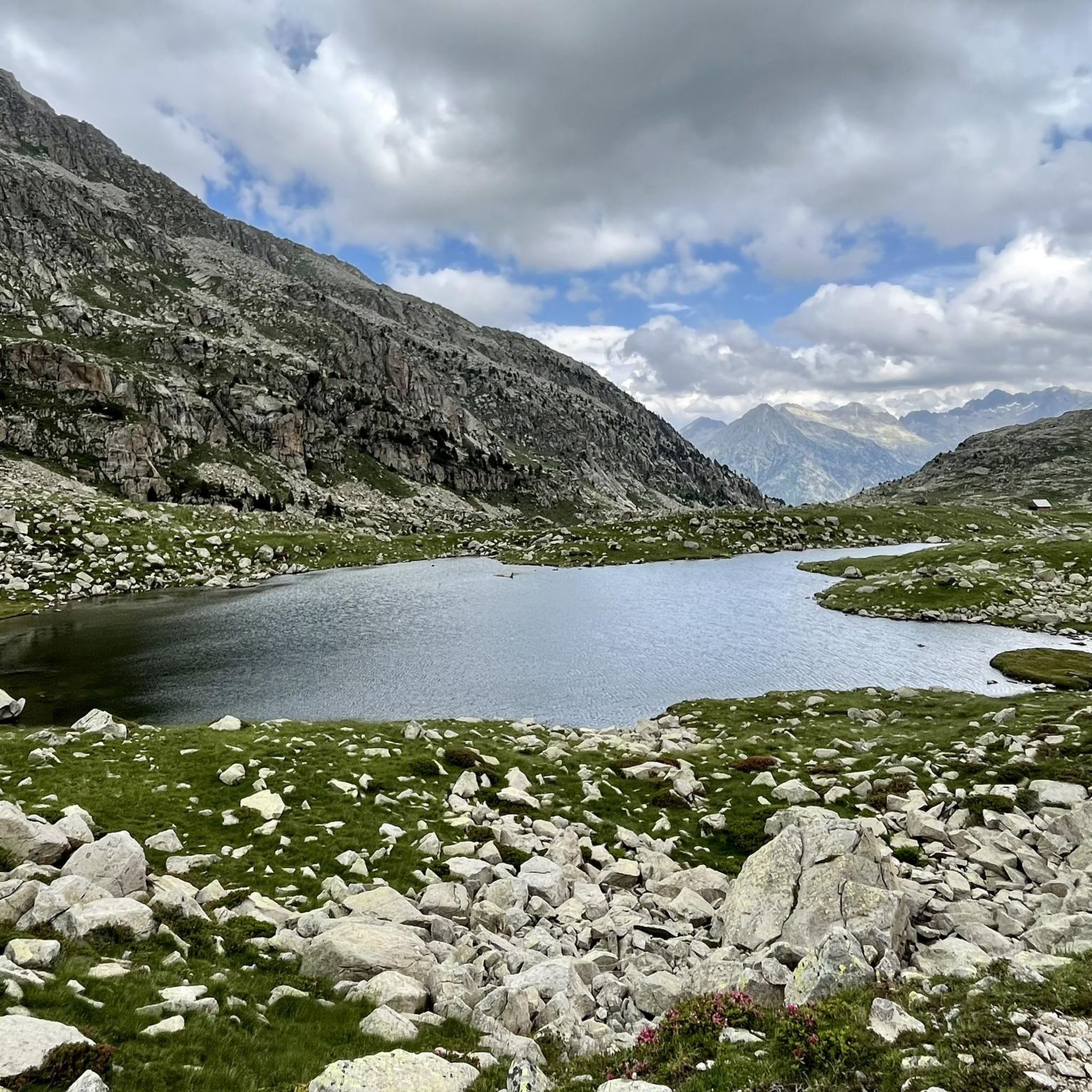
Road Cycling Routes around Montanuy
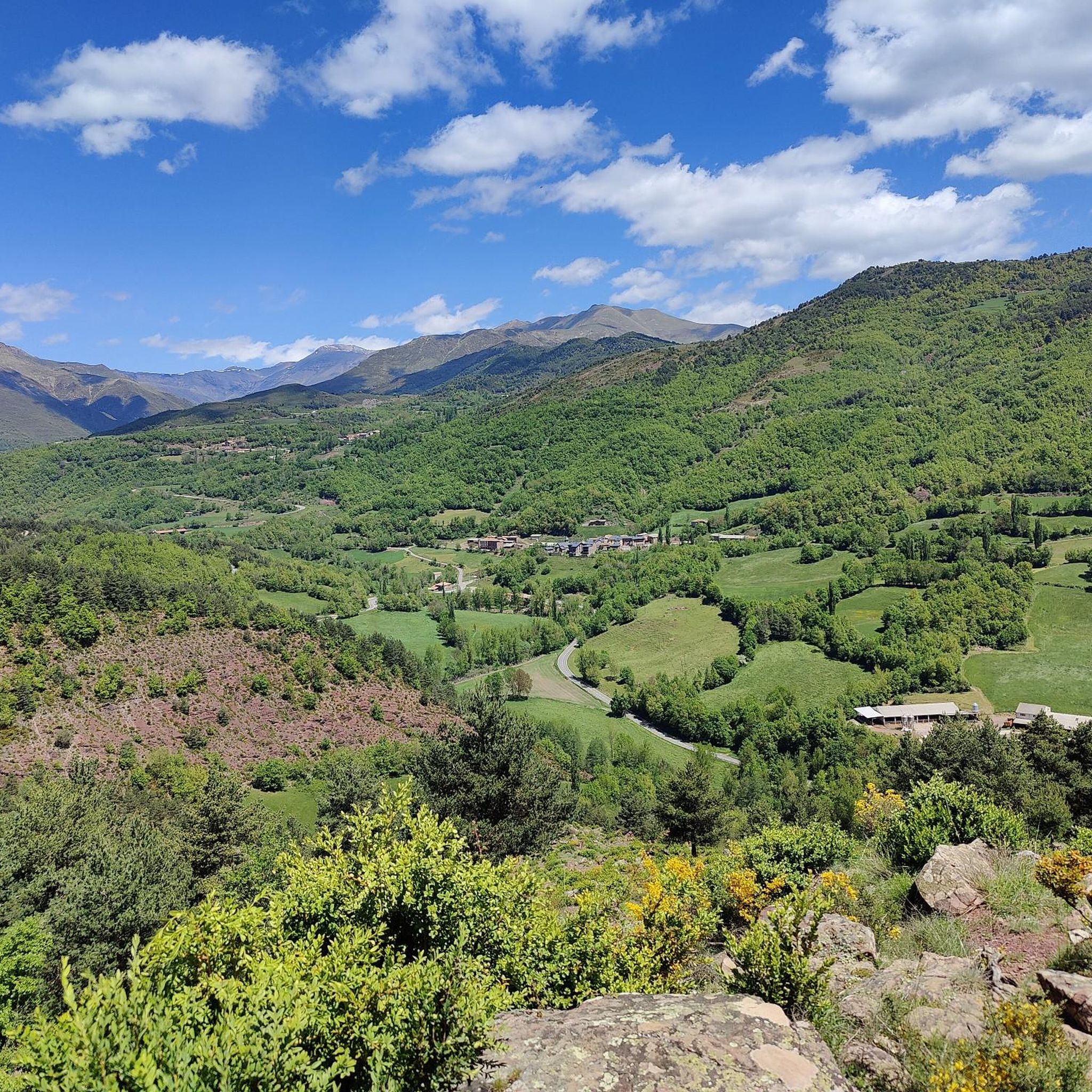
Running Trails around Montanuy
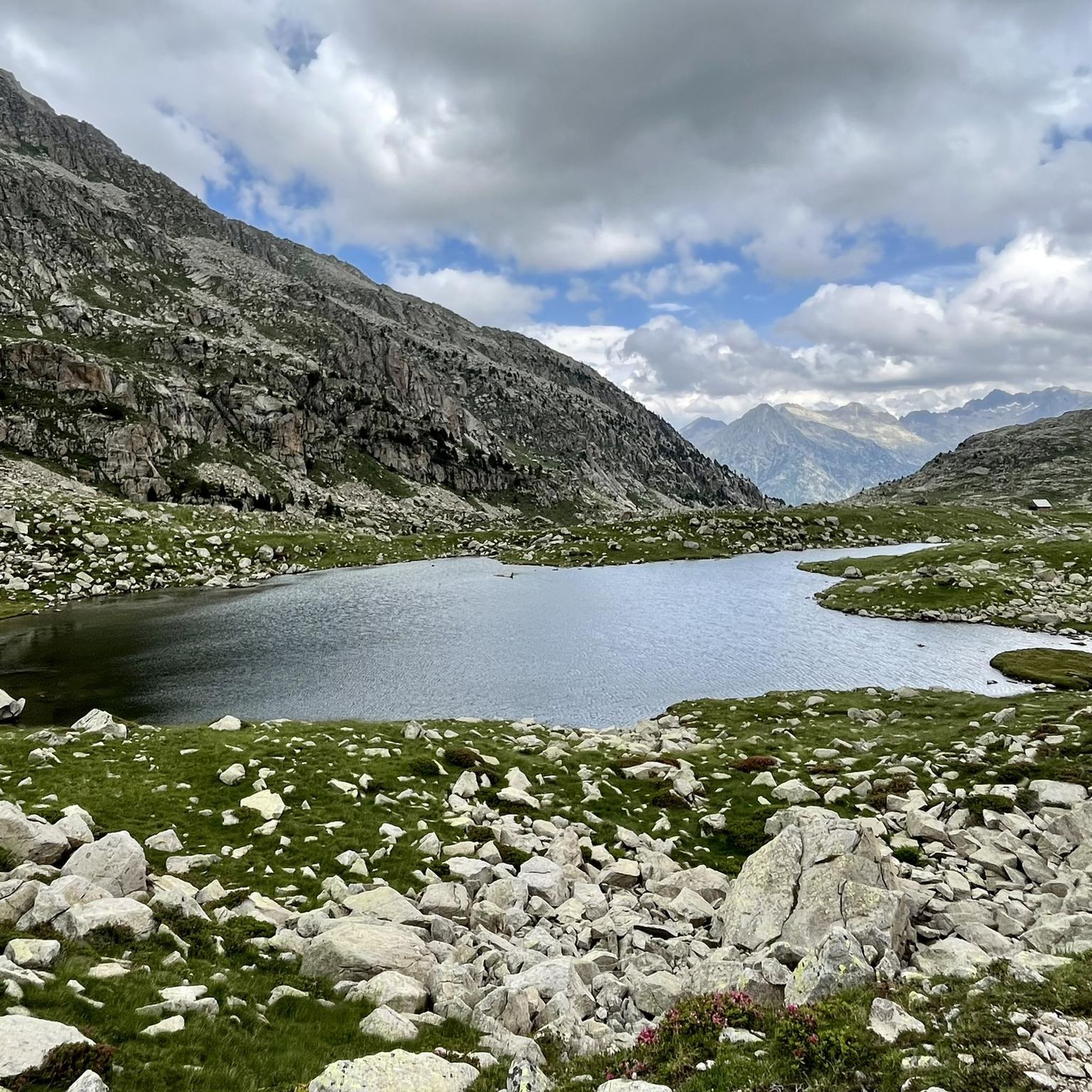
MTB Trails around Montanuy
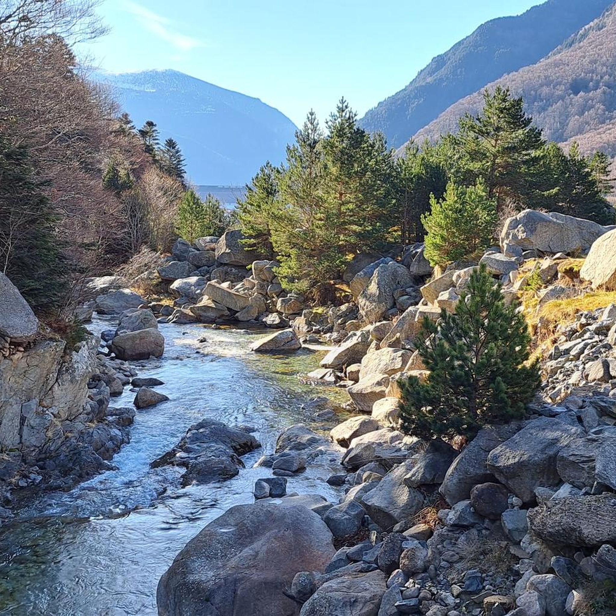
Cycling around Montanuy
Gravel biking around Montanuy
Other adventures around Montanuy


Tips from the Community

Beautiful lake and views. A bit crowded in August.
0
0

If instead of staying at the waterfall you go two more minutes you will have a spectacular photo of the Aneto glacier.
0
0
If instead of standing at the waterfall you advance two more minutes you will have a spectacular photo with the Aneto glacier.
1
0

The highest peak in the Pyrenees mountaineering region.
1
0


Very nice steep transition from F to E. The path is laid out in tight bends and hardly exposed (just steep). Coming from France, the gap looks insurmountable. In mid-June there may be some old snow fields that can be hard in the morning. Caution is advised; very light crampons, such as those available for trail running shoes, may be helpful.
0
0

This mesmerizing plain is an ancient filled lake from the immense glacier that occupied the entire valley thousands of years ago. A special place with a particular sound, as if silence occupied the space in a tangible way.
0
0
Frequently Asked Questions
What level of experience is required for mountaineering in Montanuy?
Mountaineering routes around Montanuy are primarily suited for experienced mountaineers. The terrain features significant elevation changes, rocky ascents, and exposed ridges, often traversing above the tree line. While there are 5 routes rated as moderate, the majority (24 out of 29) are classified as difficult, requiring a good level of fitness and technical skill.
Are there any easy or beginner-friendly mountaineering routes in Montanuy?
Montanuy's mountaineering routes are generally challenging, with no routes specifically classified as easy. There are 5 routes considered moderate, but the region is predominantly geared towards experienced mountaineers seeking demanding ascents in a high-mountain environment.
When is the best time of year for mountaineering in Montanuy?
The best time for mountaineering in Montanuy is typically during the summer months (July to September) when snow has largely melted from higher elevations, and weather conditions are more stable. However, even in summer, be prepared for rapidly changing alpine weather. Early autumn can also offer good conditions with fewer crowds, but temperatures will be cooler.
What kind of durations and elevations can I expect on these routes?
Mountaineering routes in Montanuy often involve significant durations and elevation gains. For example, the Portillón Superior – Pico de Aneto Summit loop is about 7.3 miles (11.8 km) with over 1300 meters of ascent, taking around 8 hours. Another challenging route, the Mahoma Pass – Pico de Aneto Summit loop, covers 7.1 miles (11.4 km) with over 1400 meters of ascent, typically requiring over 8.5 hours.
Are there circular mountaineering routes available in Montanuy?
Yes, many of the mountaineering routes in Montanuy are designed as loops, allowing you to return to your starting point without retracing your steps. Examples include the Collado de Molières – Ibones de Molières loop and the Llauset Reservoir and Tunnel – Tuca de Vallibierna loop.
What are some notable natural features or landmarks I might see along the routes?
The Montanuy region is rich in stunning natural features. You can encounter high mountain passes like Picada Pass and Mahoma Pass, or reach prominent summits such as Pico de Aneto Summit. The area also features beautiful gorges, including the Tica del León Gorge, and impressive waterfalls like Remáscaro Gorge Waterfalls and Salenques Falls.
Are there any routes that offer particularly stunning views?
Given the high-alpine nature of Montanuy, most routes offer breathtaking panoramic views. The routes leading to Pico de Aneto Summit, the highest peak in the Pyrenees, such as the Portillón Superior – Pico de Aneto Summit loop, are renowned for their expansive vistas. The Collado de Molières – Ibones de Molières loop also provides stunning scenery with its high mountain passes and pristine alpine lakes.
Is public transport available to reach the trailheads in Montanuy?
Public transport options directly to the remote mountaineering trailheads in Montanuy are generally very limited or non-existent. Access typically requires a private vehicle. It's advisable to plan your journey with this in mind, especially for routes starting from more isolated refuges or reservoirs.
Where can I find parking for mountaineering routes in Montanuy?
Parking availability varies by trailhead. For popular starting points like the Renclusa Refuge (for Aneto ascents) or near the Llauset Reservoir, there are often designated parking areas, though they can fill up quickly during peak season. For other, more remote routes, parking might be limited to roadside pull-offs or small informal areas. Always check specific route descriptions for parking recommendations.
What do other mountaineers enjoy most about the routes in Montanuy?
The mountaineering routes in Montanuy are highly rated by the komoot community, with an average score of 5.0 stars from over 20 reviews. Reviewers often praise the challenging nature of the ascents, the stunning high-alpine scenery, and the sense of accomplishment from reaching prominent peaks like Aneto. The remote and rugged character of the Pyrenean landscape is a significant draw.
Are there any facilities like cafes or refuges near the trailheads?
Some major trailheads, particularly those for popular routes, may have mountain refuges nearby that offer basic accommodation, food, and drinks. For instance, the Renclusa Refuge is a common starting point for Aneto ascents. However, many other trailheads are remote, and you should not rely on finding facilities directly at the start of every route. Always carry sufficient supplies.
Can I find routes that explore different parts of the Montanuy region?
Yes, the routes offer diverse experiences across the Montanuy area. Beyond the well-known Aneto ascents, you can explore areas like the Besiberri New Refuge loop from Noguera Ribagorçana, which takes you through a different high-alpine valley, or the Collado de Molières – Ibones de Molières loop, which features unique mountain passes and glacial lakes.
Most popular routes around Montanuy
Most popular attractions around Montanuy

Get inspired with the komoot mobile app


Explore more
Browse the best Mountain Hikes & Routes in other regions.
