The best running trails around Chandrexa De Queixa
37
runners
5
runs
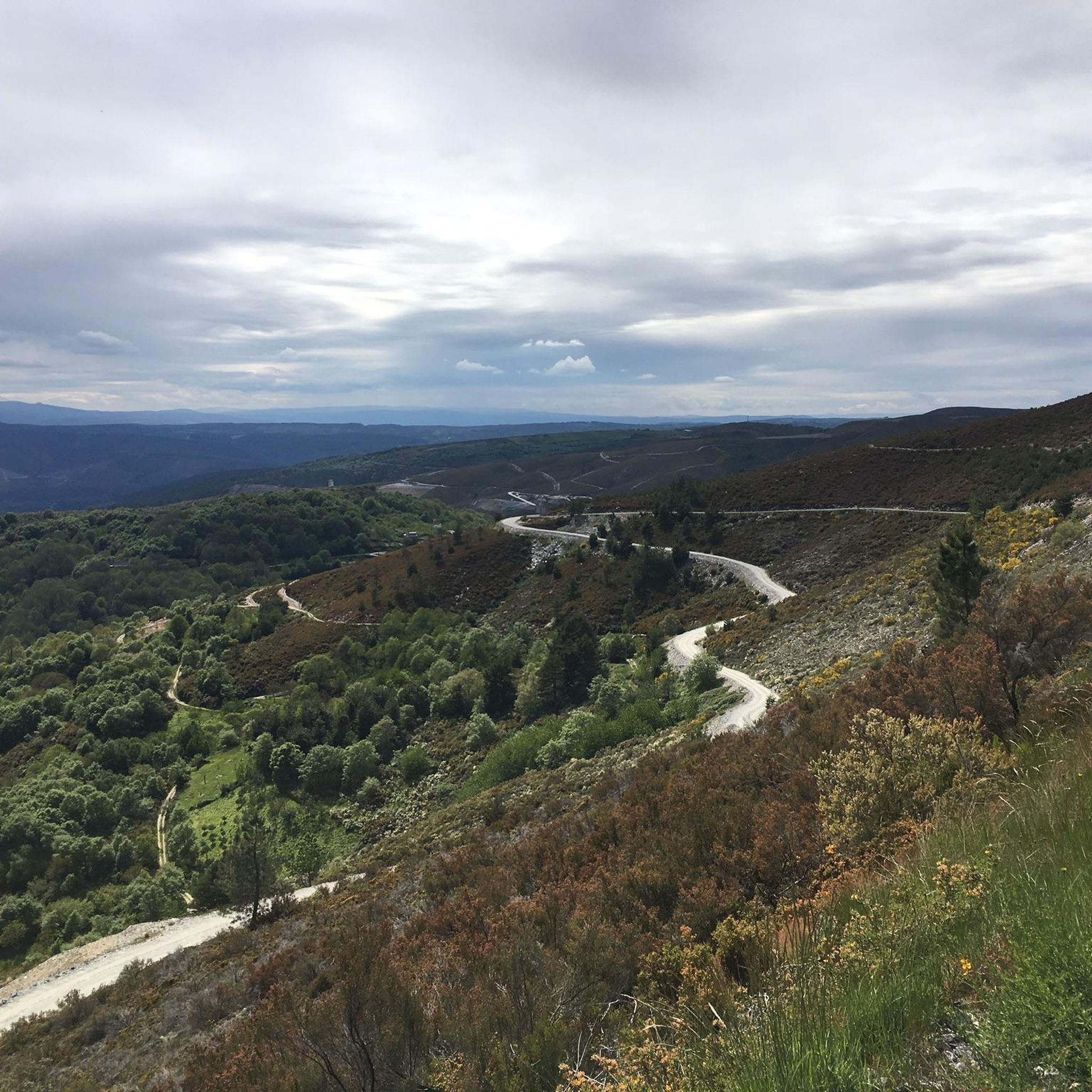
Jogging routes around Chandrexa De Queixa traverse a diverse landscape within Ourense's Macizo Central, characterized by imposing mountains and a unique natural environment. The region features majestic mountain ranges like the Serra da Queixa, with peaks exceeding 1,700 meters, offering varied elevation for running. Fluvial landscapes, including the Chandrexa reservoir and rivers such as the Navea and Dorelle, carve through the scenery. Impressive glacial valleys also contribute to the dramatic topography, providing a range of terrain for runners.
Best jogging…
Last updated: May 16, 2026
10
runners
15.9km
02:18
680m
680m
Hard run. Very good fitness required. Mostly paved surfaces. Suitable for all skill levels.
8
runners
5.70km
00:44
170m
160m
Moderate run. Good fitness required. Mostly paved surfaces. Suitable for all skill levels.

Sign up for free
9
runners
50.4km
06:44
1,920m
1,920m
Hard run. Very good fitness required. Mostly paved surfaces. Suitable for all skill levels.
6
runners
36.1km
04:37
970m
970m
Hard run. Very good fitness required. Mostly paved surfaces. Suitable for all skill levels.
1
runners
6.19km
00:40
120m
120m
Moderate run. Good fitness required. Mostly paved surfaces. Suitable for all skill levels.
Our route recommendations are based on thousands of hikes, rides, and runs completed by other people on komoot.
Start today with a free account
Your next adventure awaits.
Login or Signup

Tips from the Community

Visitable castle restored in different areas and worth seeing, along with the streets that surround it, medieval area of the town of Castro Caldelas
0
0

The walkway route from the Mao River to the Sil Canyon is one of the most beautiful areas to see in the Ribeira Sacra (and, in general, of everything there is to see in Ourense) The total distance of the Mao walkways is 1.8 kilometers and the difference in level to be overcome (using stairs) is 41 meters.
2
0


In the Middle Ages, the fortress of Castro Caldelas belonged to the house of Trastámara, its growth being very rapid due to trade and craft activities in which linen weavers made this place an important location for their businesses, in addition to Jews with liberal occupations.
3
0

Monastery where the school and the Town Hall are located, beautiful
0
0

On the most prominent site in the city, the castle stands on the old Roman road and dominates the surrounding landscape. The structure and wall of the castle was built in the 14th century. The Castle offers spectacular views of the Sil canyon.
2
0
Forest of great ecological importance, integrated into the Natura 2000 Network with numerous trails and paths in the Ribera Sacra Natural Park
0
0

Wooden footbridges that crossed the Mao river canyon, in the Ribeira Sacra. Halfway up is the viewpoint, with excellent views of the canyon and the waters of the river that run through the gorge.
4
0
Frequently Asked Questions
How many running routes are available in Chandrexa De Queixa?
Komoot offers a selection of 5 well-mapped running routes around Chandrexa De Queixa. These trails traverse diverse landscapes, from majestic mountains to serene fluvial areas, providing varied experiences for runners.
Are there running routes for all skill levels in Chandrexa De Queixa?
Yes, the region offers a variety of running experiences. While there are no easy routes listed, you'll find 3 moderate and 2 difficult trails. The mountainous terrain of the Serra da Queixa provides options ranging from gentle slopes to more demanding uphill climbs, suitable for those looking for a challenge.
What natural attractions or landmarks can I expect to see while jogging in Chandrexa De Queixa?
Chandrexa De Queixa is rich in natural beauty and historical sites. You can encounter impressive glacial valleys, the picturesque Chandrexa reservoir, and rivers like the Navea and Dorelle. Notable highlights include the Pena de Matacás viewpoint, offering panoramic views, and the stunning Cascada de Dorelle (Fervenza de Casteligo) waterfalls, especially vibrant during spring snowmelt. Historical elements like the ancient bridge of A Previsa also add character to the routes.
Are there any circular running routes in the area?
Yes, many of the running routes in Chandrexa De Queixa are circular, allowing you to start and finish at the same point. For example, the Mao River Boardwalk loop from Ruta A fabrica da Luz is a challenging 9.9-mile (15.9 km) circular route that explores scenic fluvial landscapes. Another option is the Castro Caldelas Castle loop from O Castro de Caldelas, a moderate 3.5-mile (5.7 km) path offering historical views.
Can I find long-distance or challenging trail running options in Chandrexa De Queixa?
Absolutely. The region is known for its challenging mountain environment. Routes like the Pena de Matacás viewpoint – Castro Caldelas Castle loop from Montemiao span over 31 miles (50.4 km) with significant elevation gain, making them ideal for experienced trail runners. The existence of events like the Chandrexa Trail, featuring distances up to 35 km with 2,300 m positive elevation, further highlights the area's suitability for serious trail running.
What is the best time of year to go jogging in Chandrexa De Queixa?
The spring, when snowmelt feeds the waterfalls and the landscape is lush, offers a particularly beautiful experience. However, the region's diverse terrain and extensive trail network make it suitable for outdoor activities throughout much of the year. Always check local weather conditions, especially for mountain routes, as conditions can change rapidly.
Are there any running routes that pass by historical sites?
Yes, several routes offer a blend of natural beauty and historical interest. The Castro Caldelas Castle loop from O Castro de Caldelas provides views of the historic Castro Caldelas Castle. You might also encounter the San Vítor de Barxacova Chapel and Necropolis or the Conceliñas Medieval Bridge on some trails, adding a cultural dimension to your run.
Are there any family-friendly jogging routes in Chandrexa De Queixa?
While the guide primarily features moderate to difficult routes, the region offers varied terrain. For families, consider exploring sections of the 'Circunvalación embalse' route around the Chandrexa reservoir, which is generally flatter and offers captivating water views. Always check the specific route details for distance and elevation to ensure it's suitable for your family's fitness level.
What kind of landscapes will I encounter on the running trails?
You'll experience a rich variety of landscapes. The region is dominated by majestic mountain ranges like the Serra da Queixa, with peaks over 1,700 meters. You'll also jog through beautiful fluvial landscapes, alongside the Chandrexa reservoir, and along rivers such as the Navea and Dorelle. Impressive glacial valleys, forests, and even glimpses of lost villages contribute to the dramatic and varied topography.
Are there opportunities to see viewpoints or panoramic vistas?
Definitely. The mountainous environment of Chandrexa De Queixa provides numerous opportunities for breathtaking views. The Pena de Matacás viewpoint is a notable spot, and the path of As Forcadas is known for its impressive panoramic views. Many trails ascend to higher elevations, rewarding runners with expansive vistas of the surrounding natural beauty.
What do other runners enjoy most about jogging in Chandrexa De Queixa?
Runners frequently praise the region's stunning natural landscapes, diverse terrain, and the tranquility it offers. The combination of majestic mountains, serene reservoirs, picturesque rivers, and an extensive network of trails provides a unique and rewarding experience. The komoot community has actively explored these routes, with over 36 runners having used komoot to discover the varied terrain.
Are there any recreational areas near the running routes for relaxation?
Yes, after a good run, you can find spots to relax and unwind. The Área Recreativa de Cardiego and the Playa Fluvial de Chandrexa are ideal recreational areas where you can enjoy nature, perhaps for a picnic or a refreshing break by the water.
Most popular attractions around Chandrexa De Queixa

Get inspired with the komoot mobile app


Explore more
Browse the best Running Trails & Routes in other regions.
