The best running trails around Oza Dos Ríos
5.0
(2)
364
runners
28
runs
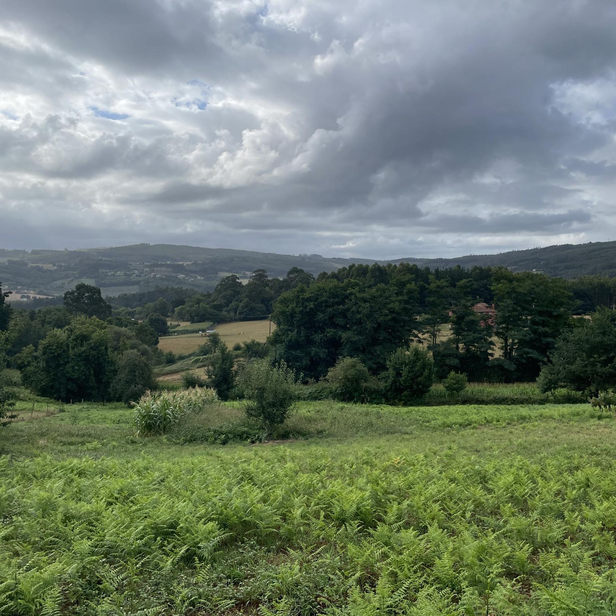
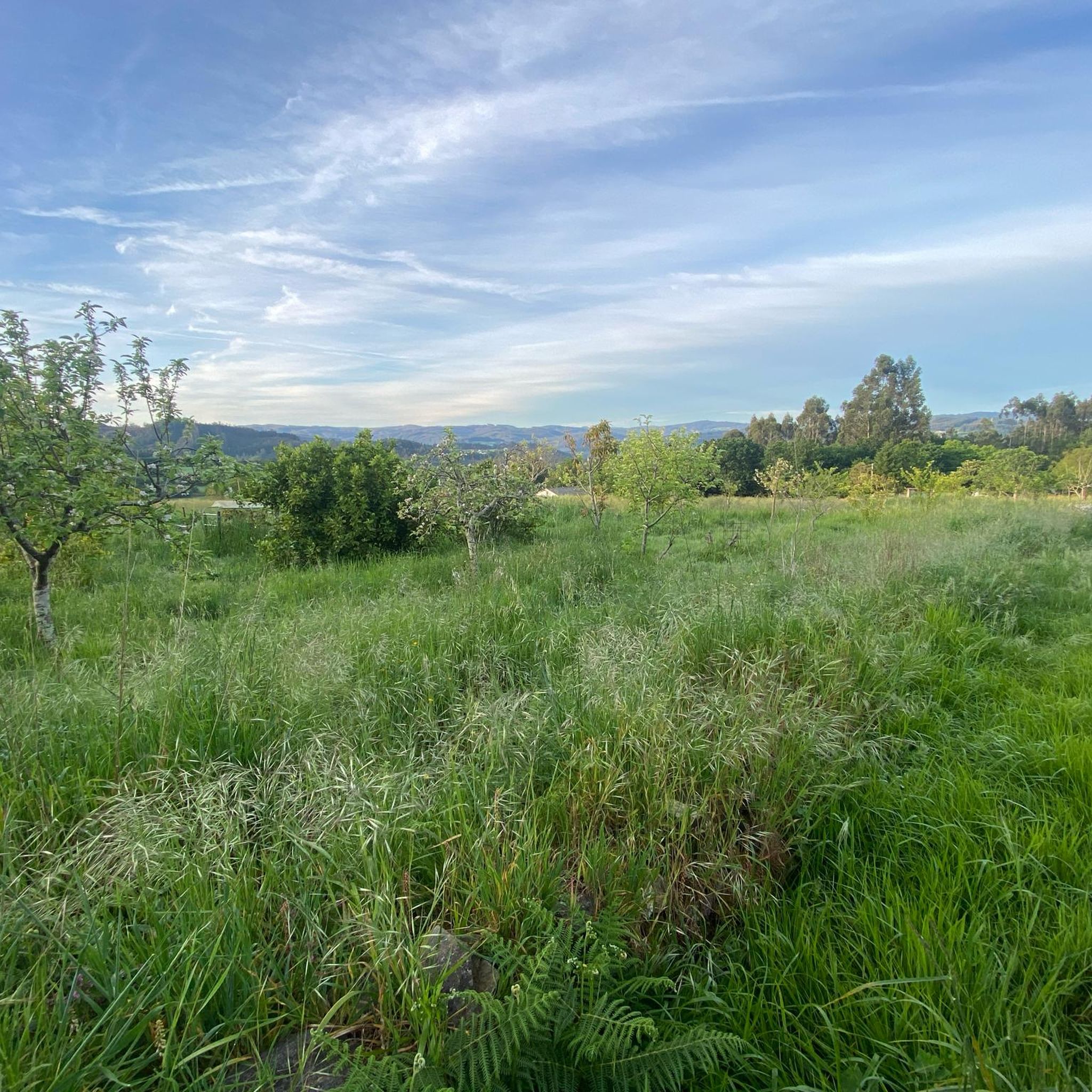
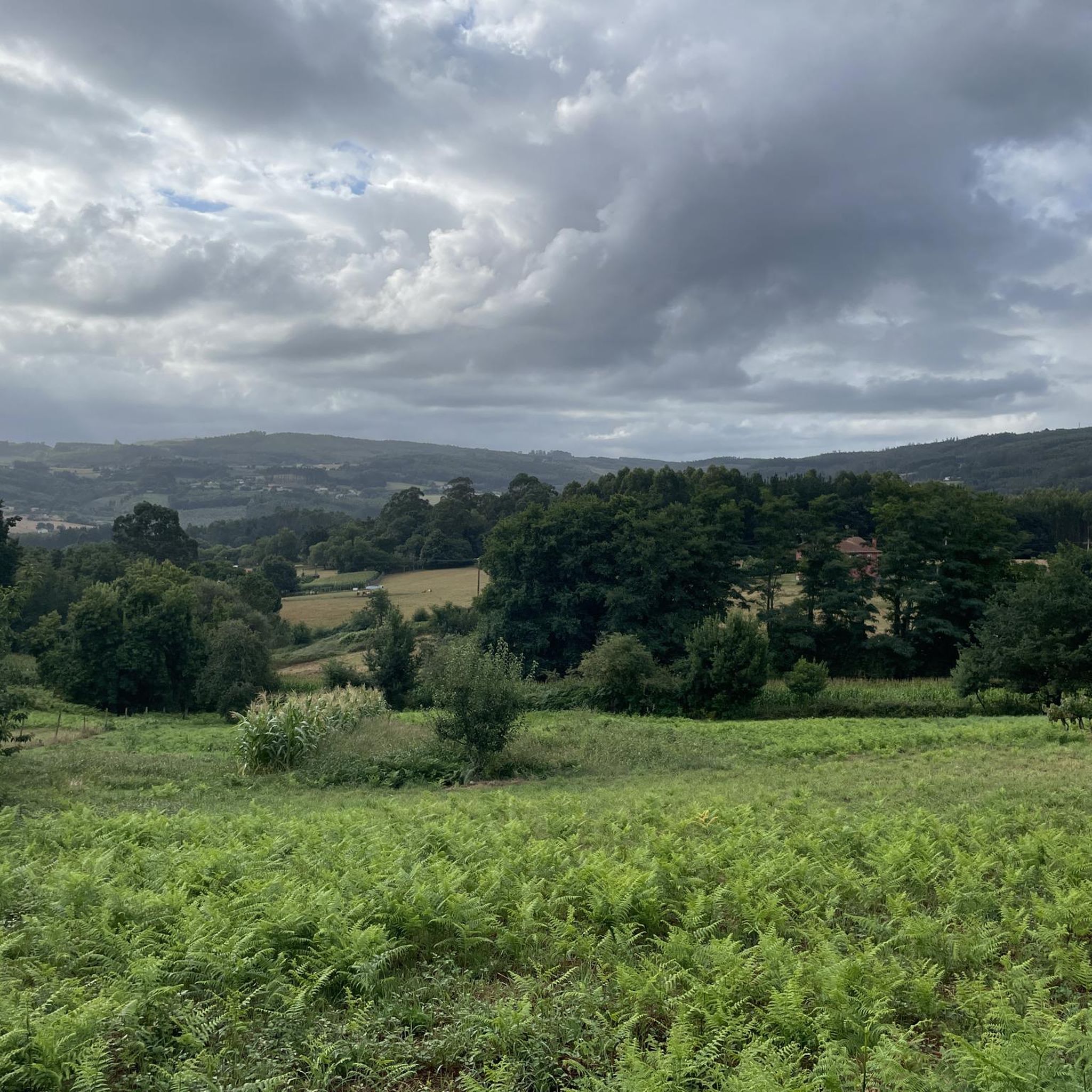
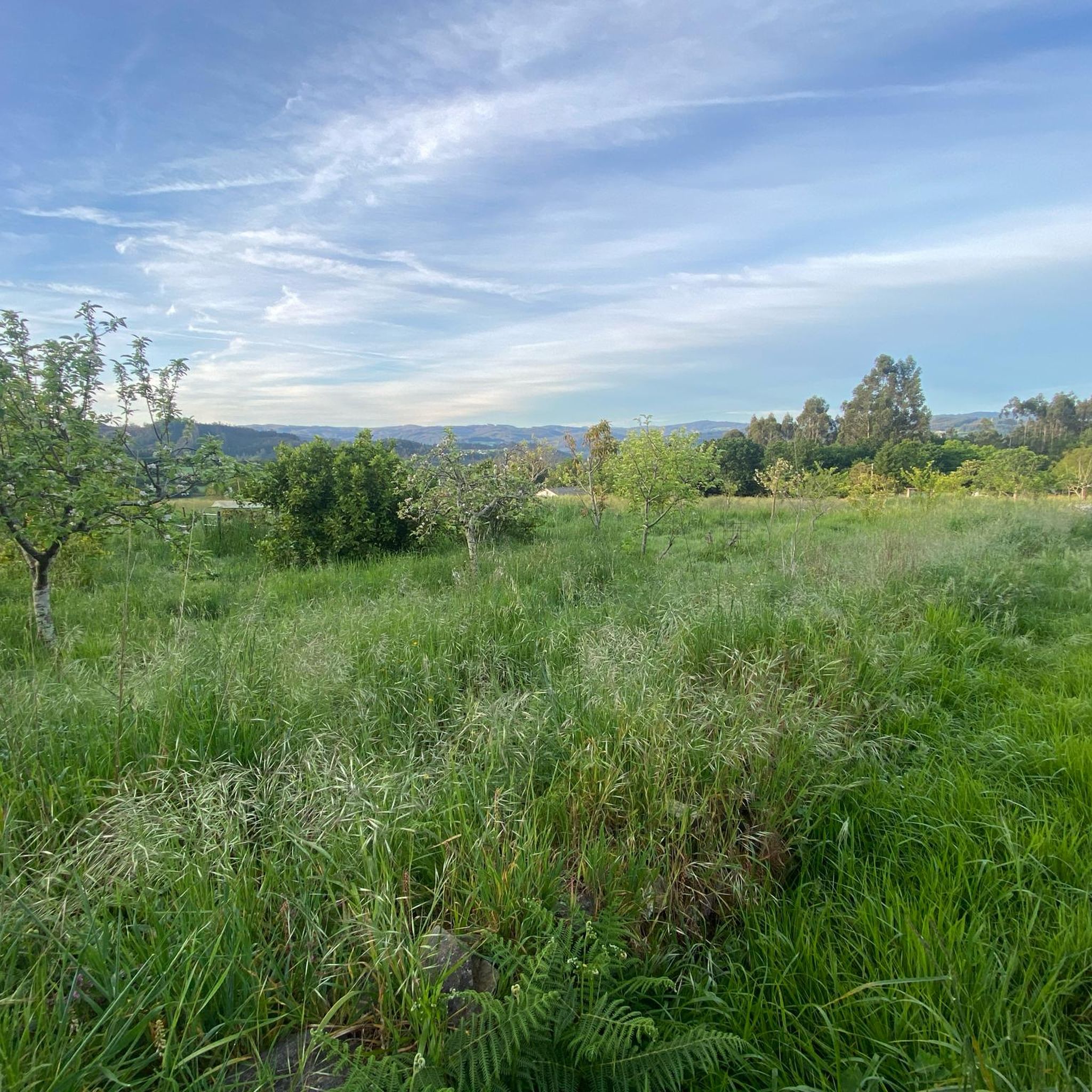
Jogging routes around Oza Dos Ríos traverse a diverse landscape characterized by riverine scenery, dense forests, and rolling hills. The region is shaped by the Mero, Mendo, and Mandeo rivers, which carve valleys and form features like the Cecebre Reservoir. Runners can find varied terrain, from flat river paths to more challenging routes through forested areas and hills.
Best jogging routes around Oza Dos Ríos
- The most popular jogging route is Cecebre Reservoir – Cecebre Reservoir loop from Cecebre,…
Last updated: June 28, 2026
30
runners
6.84km
00:43
40m
40m
Moderate run. Good fitness required. Mostly paved surfaces. Suitable for all skill levels.
12
runners
6.35km
00:40
90m
90m
Moderate run. Good fitness required. Mostly paved surfaces. Suitable for all skill levels.

Sign up for free
12
runners
5.62km
00:36
90m
90m
Moderate run. Good fitness required. Mostly paved surfaces. Suitable for all skill levels.
9
runners
38.7km
04:44
970m
970m
Hard run. Very good fitness required. Mostly paved surfaces. Suitable for all skill levels.
5
runners
16.6km
01:48
260m
260m
Hard run. Very good fitness required. Mostly paved surfaces. Suitable for all skill levels.
Get access to more routes and recommendations from other explorers.
Sign up for free
Already have an account?
Our route recommendations are based on thousands of hikes, rides, and runs completed by other people on komoot.
Start today with a free account
Your next adventure awaits.
Login or Signup

Tips from the Community

Great bridge sights and historical building
1
0

In this section, the trail winds parallel to the course of the Mandeo River. Here, eucalyptus, fern and pine forests abound, although there are also other species. It has many corners where you can sit and enjoy nature. You can also go up by boat or kayak, quite an experience!
2
0
Located in the historic center of Betanzos, this 59-meter-long stone bridge passes over the Mandeo River. Although the origin is not very clear, it is known that an old bridge already existed in the 13th century. The river floods knocked it down several times, so they had to rebuild it on numerous occasions.
3
0

Historic bridge in the historic center of Betanzos. Some point to its origin in 1219 on the Mandeo river
2
0

The Ponte do Pedrido rises over the Betanzos estuary and is 520 meters long. From the top you can see the immense sandy area below and the estuary of the estuary. It is the easiest way to cross the estuary without having to take the highway. It is preferable to cross it on weekdays since it is busier on weekends.
3
0
Betanzos is located around the estuary of the Mandeo River. A short distance from A Coruña, it is worth visiting and exploring by bike.
3
0

Long causeway and bridge across the Pedrido, with spectacular views of the estuary, but on busy weekends not a very comfortable crossing due to the lack of a shoulder or protected bike lane.
2
0
Frequently Asked Questions
What kind of terrain can I expect on the running routes in Oza Dos Ríos?
The region of Oza Dos Ríos offers a diverse landscape for runners. You'll find routes traversing riverine scenery along the Mero, Mendo, and Mandeo rivers, dense forests like the Fraga do Rei, and rolling hills. Terrain varies from flat, compact dirt paths, such as those found around the Cecebre Reservoir, to more challenging routes with significant elevation gain through forested and hilly areas.
Are there any easy or beginner-friendly running routes in the area?
Yes, Oza Dos Ríos offers several routes suitable for beginners or those seeking a gentler run. The Cecebre Reservoir – Cecebre Reservoir loop from Cecebre is a popular choice, known for its simple, completely flat, compact dirt path alongside the Mero River. Another option is the Cecebre Reservoir – Cecebre Reservoir loop from Ribeiras do Mero - Barcés, which also offers a relatively flat experience through a protected natural space.
What are some longer or more challenging running routes available?
For runners seeking a greater challenge, Oza Dos Ríos has routes with significant elevation and distance. The Fraga da Espenuca loop from Betanzos-Cidade is a difficult 15.4-mile (24.8 km) path featuring substantial elevation gain through dense forests and hilly terrain. Another demanding option is the Betanzos – Ponte Vella loop from Betanzos-Cidade, which covers nearly 39 km with considerable climbs.
Are there any circular running routes in Oza Dos Ríos?
Yes, many of the running routes in Oza Dos Ríos are designed as loops, offering a convenient circular experience. Examples include the popular Cecebre Reservoir – Cecebre Reservoir loop from Cecebre, the Cecebre Reservoir – Cecebre Reservoir loop from Ribeiras do Mero - Barcés, and the Cecebre Reservoir loop from Cecebre. These routes allow you to start and finish at the same point, often providing varied scenery along the way.
What natural features or landmarks can I see while running in Oza Dos Ríos?
Running in Oza Dos Ríos offers opportunities to experience the natural beauty of Galicia. You can explore the Mero River Trail, run alongside the protected Cecebre Reservoir, or discover the enchanting atmosphere of the Fraga do Rei forest. The region is also home to the Pedrido Bridge, offering views of the Betanzos Estuary, and the historic Ponte Vella over the Mandeo River.
Are there any waterfalls I can visit on a running route?
For those interested in waterfalls, the Fervenzas Da Rexidoira offers a 1.3 km circular route. While described as difficult, it provides a rewarding experience to see these natural cascades. This area is known for its rugged beauty and is a great option for a more adventurous run.
What do other runners enjoy most about the trails in Oza Dos Ríos?
The running trails in Oza Dos Ríos are highly rated by the komoot community, with an average score of 5.0 stars from over 3 reviews. Runners often praise the tranquil environment, the diverse landscapes ranging from river paths to dense woodlands, and the variety of options for different ability levels. The well-maintained paths along the Mero River and the scenic beauty of the Cecebre Reservoir are frequently highlighted.
Are the running routes in Oza Dos Ríos suitable for families?
Many of the flatter, less challenging routes, particularly those around the Cecebre Reservoir, are suitable for families. The Cecebre Reservoir – Cecebre Reservoir loop from Cecebre, with its compact dirt path, is an excellent choice for a family outing. Additionally, recreational areas like the Area Recreativa de Reboredo, located on the Mendo River, offer amenities like playgrounds and seating, making them good starting points for family-friendly walks or runs.
Is it possible to access the running trails using public transport?
While specific public transport routes directly to all trailheads in Oza Dos Ríos can be limited, nearby towns like Betanzos often serve as transport hubs. From there, local services or a short taxi ride might be necessary to reach some of the more secluded starting points. For routes around the Cecebre Reservoir, check local bus schedules for connections to villages like Cecebre or Ribeiras do Mero - Barcés.
Are there parking facilities available at the trailheads?
Yes, many popular trailheads and recreational areas in Oza Dos Ríos offer parking facilities. For instance, the Area Recreativa de Reboredo and the Area Recreativa Fraga do Rei are known to have ample green space and parking. For routes around the Cecebre Reservoir, you can typically find parking in the nearby villages or designated spots close to the reservoir access points.
What is the best time of year to go running in Oza Dos Ríos?
Oza Dos Ríos is generally pleasant for running throughout much of the year due to its mild climate. Spring and autumn offer comfortable temperatures and beautiful scenery with lush greenery or vibrant fall colors. Summer can be warm, but shaded forest paths and riverside routes provide cooler options. Winter runs are also possible, though some higher or less maintained trails might be muddy or slippery after rain.
Are there any running routes that offer great views?
Absolutely! The diverse topography of Oza Dos Ríos provides several routes with excellent viewpoints. The alternative path of the Camino del Norte, which passes through the region, reaches elevations of approximately 650 meters, offering panoramic views. Additionally, the Pedrido Bridge provides expansive views of the Betanzos Estuary, and the Ría de Betanzos Viewpoint is another spot for scenic vistas.
Most popular routes around Oza Dos Ríos
Most popular attractions around Oza Dos Ríos

Get inspired with the komoot mobile app


Explore more
Browse the best Running Trails & Routes in other regions.
