The best mountain hikes around Los Molinos
4.5
(2)
40
hikers
6
hikes
Mountaineering routes around Los Molinos provide access to the diverse landscapes of the Sierra de Guadarrama National Park. This region features mountains older than the Alps, characterized by significant elevation gains and varied terrain. The area includes extensive pine woodlands, oak and holm oak forests, and scrubland, offering a range of challenging ascents and scenic paths. Mountaineers can expect routes with substantial climbs and panoramic views across the mountain range.
Best mountaineering routes around Los Molinos
- The most popular mountaineering…
Last updated: May 20, 2026
4.0
(1)
4
hikers
12.4km
05:36
780m
780m
Hard mountaineering route. Very good fitness required. Sure-footedness, sturdy shoes and alpine experience required.
7
hikers
10.1km
04:50
770m
770m
Hard mountaineering route. Good fitness required. Sure-footedness, sturdy shoes and alpine experience required.

Sign up for free
4
hikers
8.85km
03:53
630m
630m
Moderate mountaineering route. Good fitness required. Mostly accessible paths. Sure-footedness required.
5
hikers
Hard mountaineering route. Good fitness required. Sure-footedness, sturdy shoes and alpine experience required.
4
hikers
14.9km
06:19
950m
940m
Hard mountaineering route. Very good fitness required. Mostly accessible paths. Sure-footedness required.
Our route recommendations are based on thousands of hikes, rides, and runs completed by other people on komoot.
Start today with a free account
Your next adventure awaits.
Login or Signup

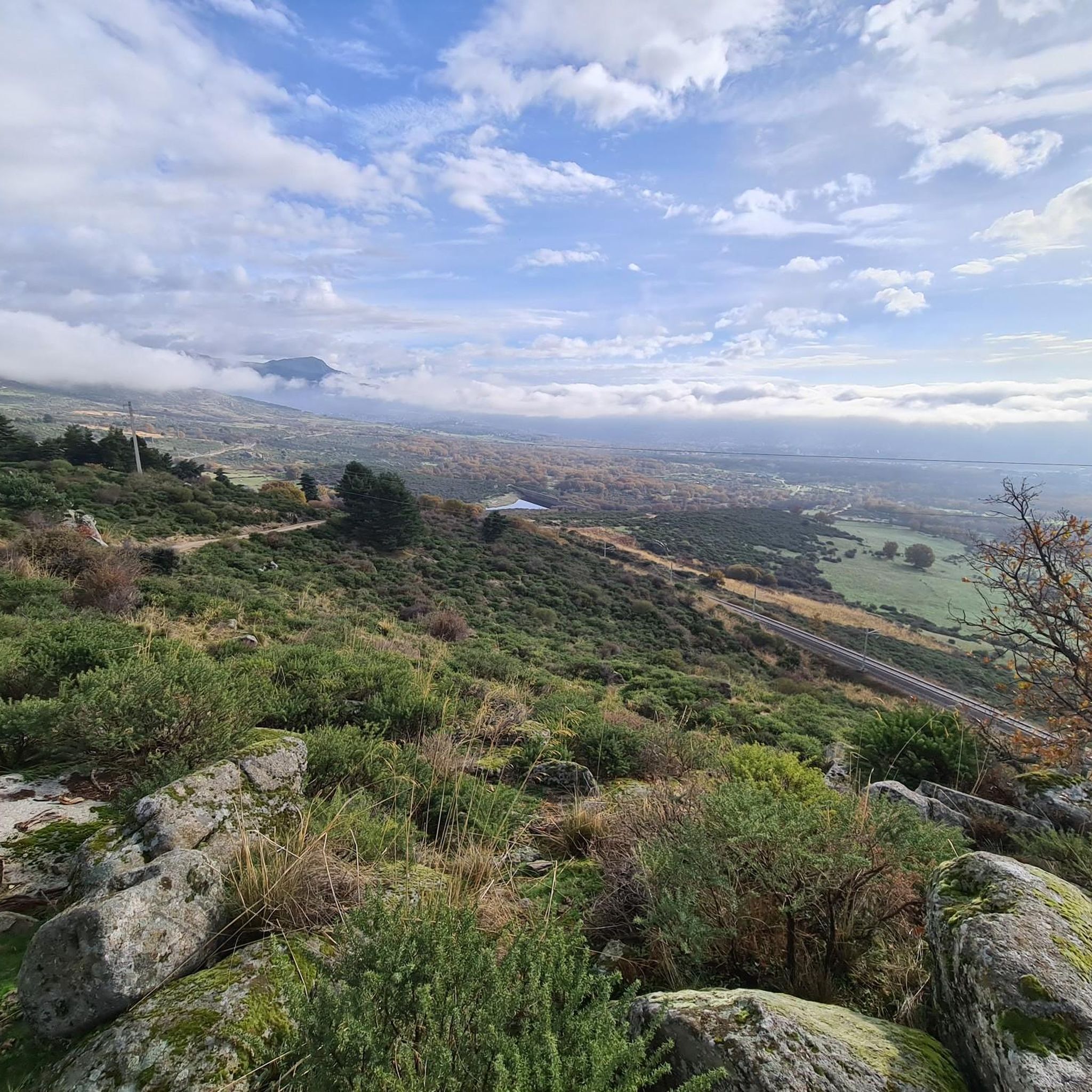
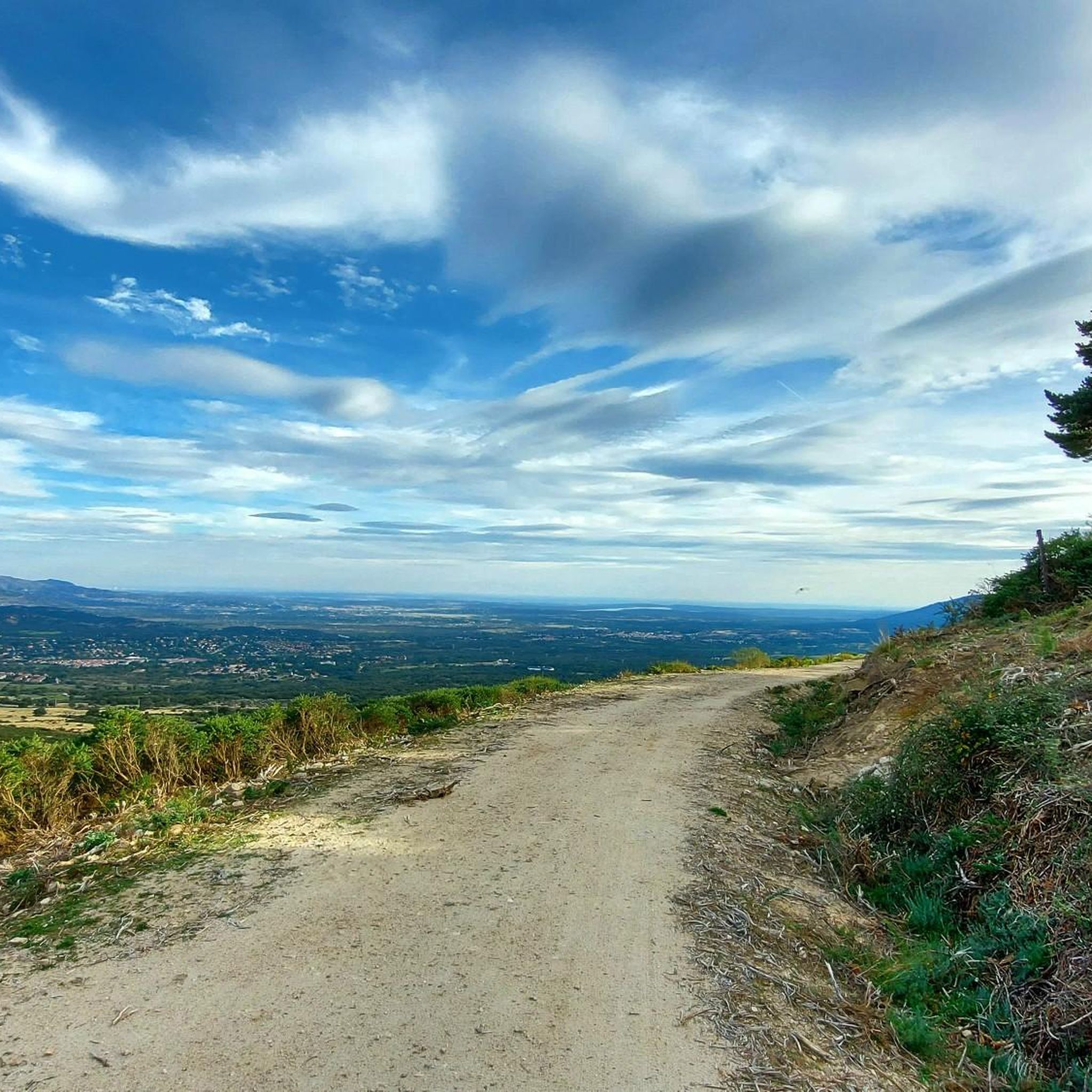
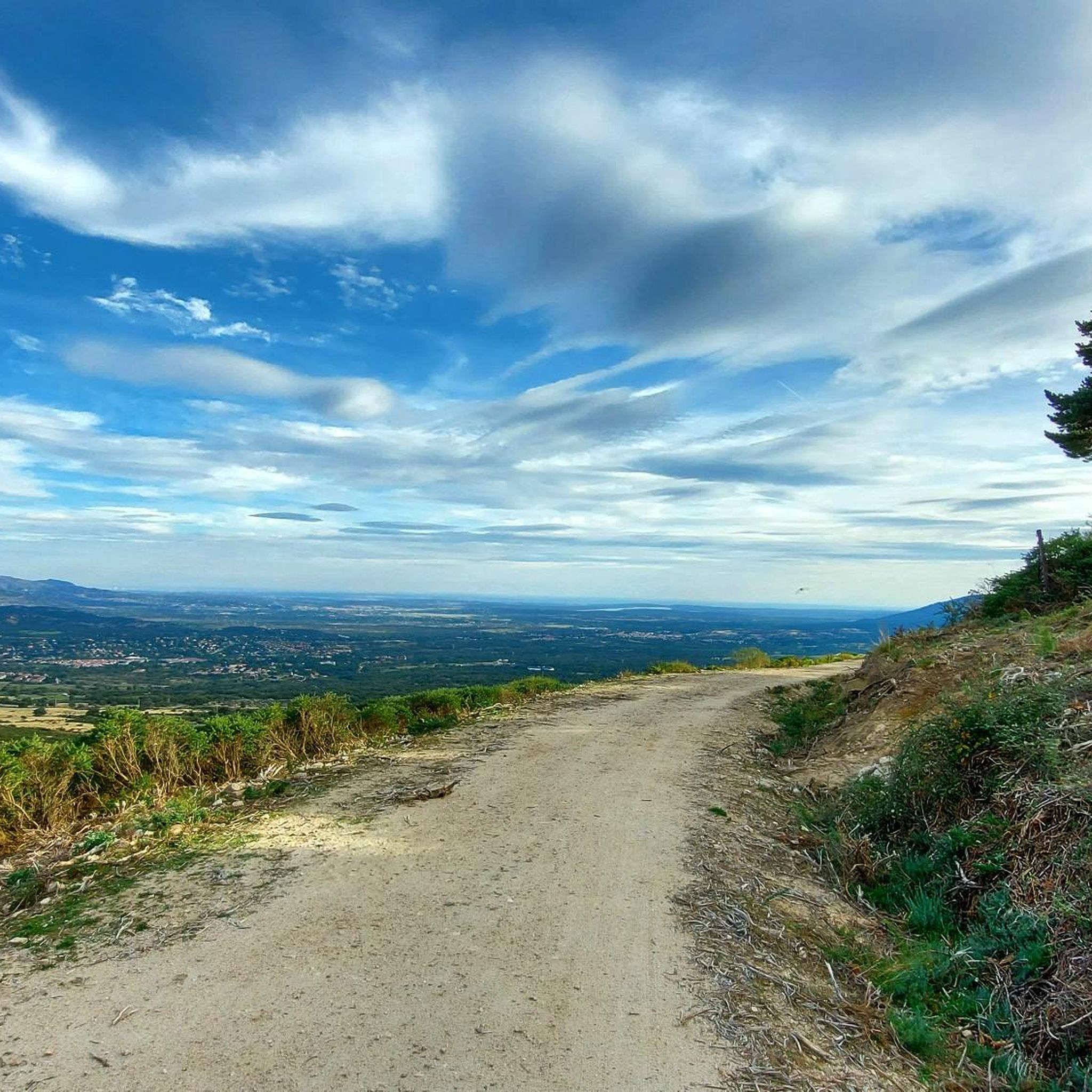
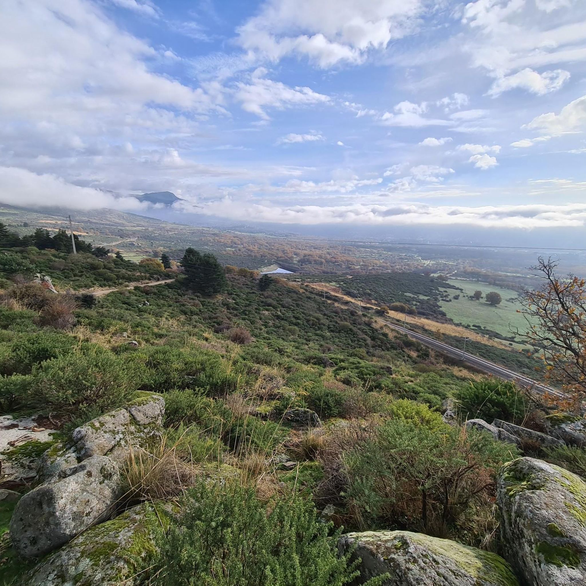
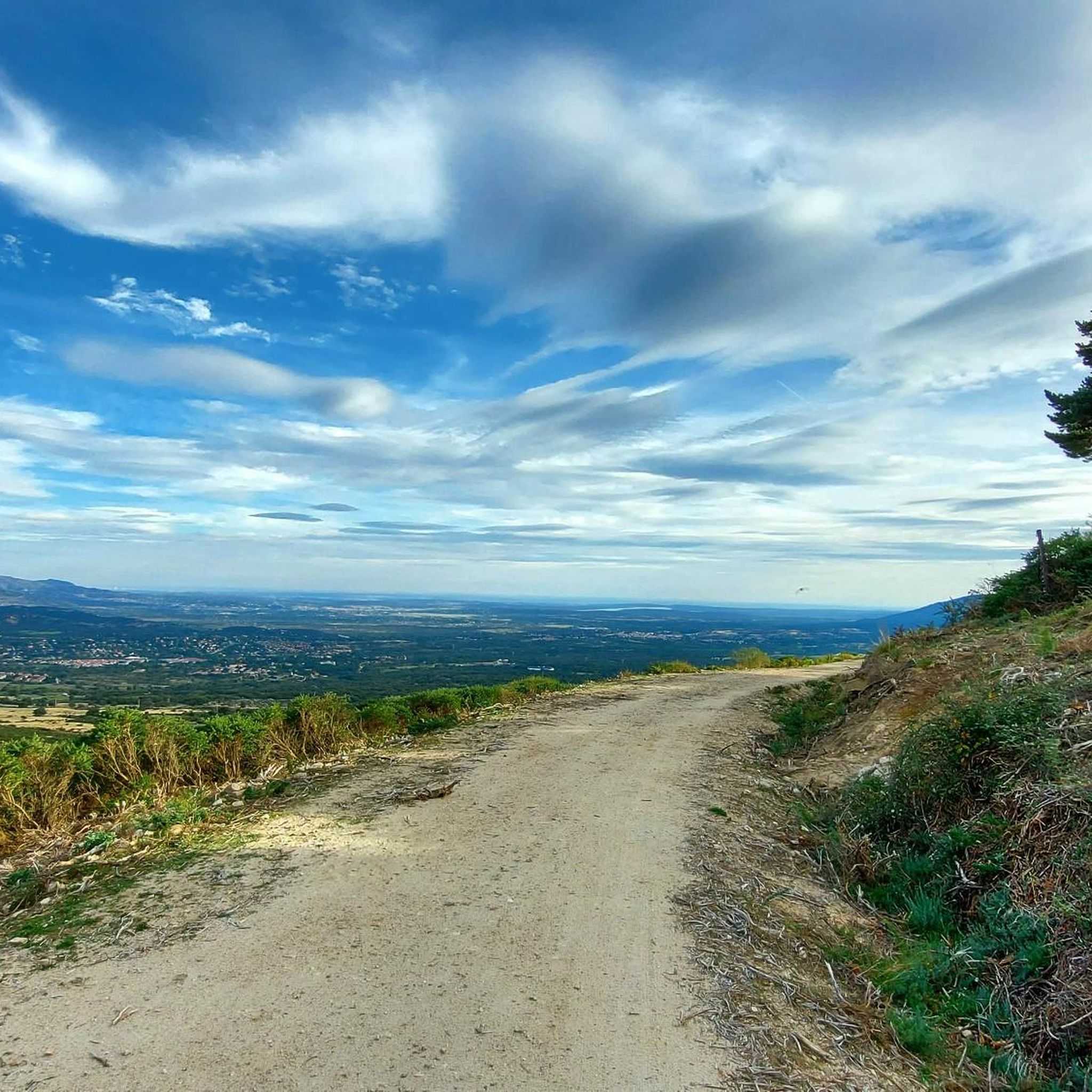
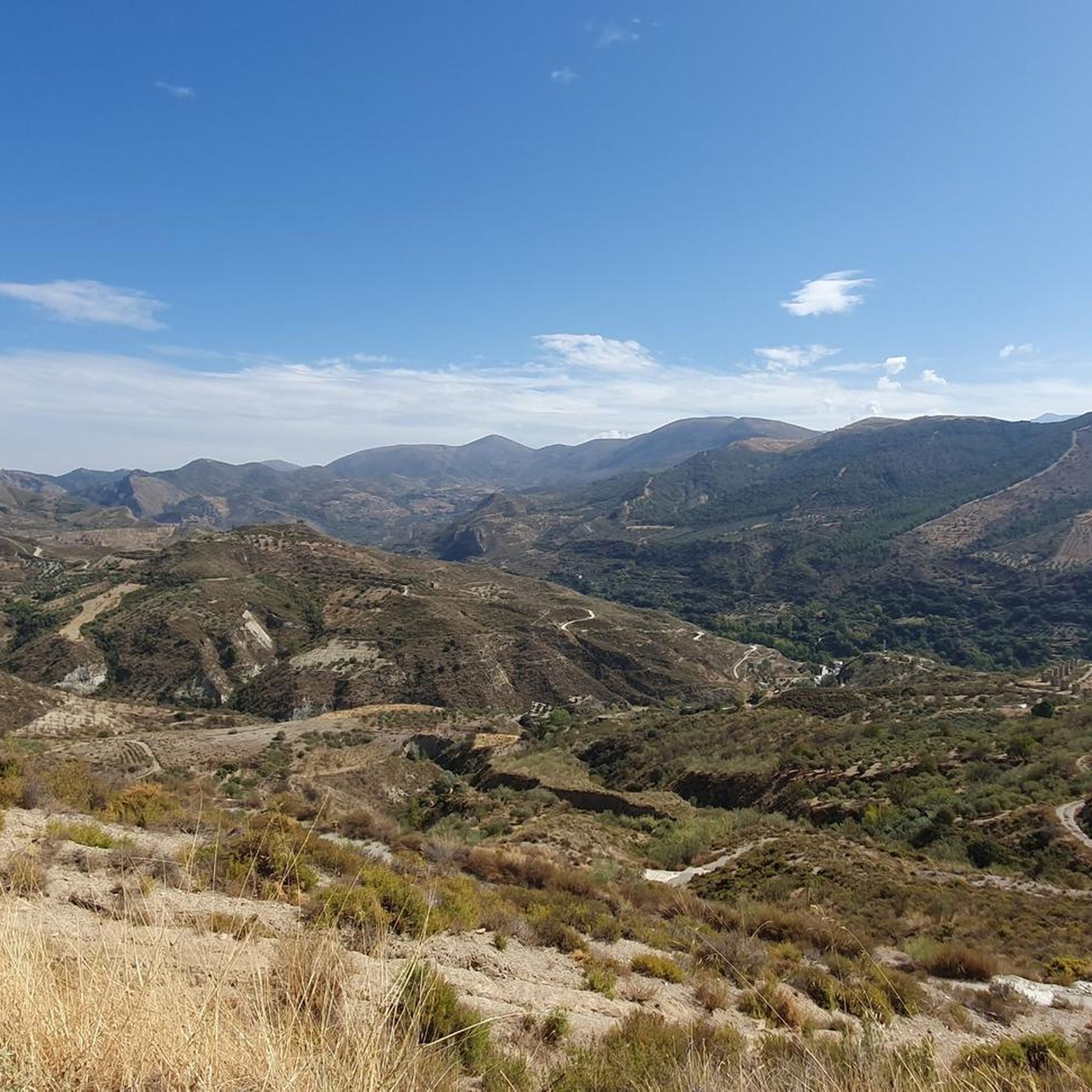
Other adventures around Los Molinos

Tips from the Community

Strategic point from which excellent landscapes can be seen in the surrounding area.
0
0
High and difficult peak in the Sierra de Madrid, especially with clouds and winds.
0
0

This reservoir is located in the beautiful Barranca valley
0
0

Exceptional water, which even people from the village come to collect.
0
0

The Descalzo Bridge is one of the best-known bridges on the Fuenfría Roman Road in Cercedilla. Although long attributed to its Roman origin, more recent research suggests that, although the road crossed here in Roman times, the bridge itself may have been built or heavily modified in the 18th century (Bourbon era). Despite this, it is located on an important section of the Roman road that connected Segovia with Titulcia and has been restored several times, maintaining its original structure. It is a masonry bridge with a single arch and blends perfectly into the natural surroundings, being part of a popular hiking trail in the Sierra de Guadarrama. Both the bridge and the road have been declared a National Historic, Artistic, and Archaeological Site.
0
0
The Descalzo Bridge is one of the best-known bridges on the Roman Road of Fuenfría, in Cercedilla. Although long attributed to its Roman origin, more recent research suggests that, although the road crossed here in Roman times, the bridge itself may have been built or heavily modified in the 18th century (Bourbon era). Despite this, it is located on an important section of the Roman road that linked Segovia with Titulcia, and has been restored several times, maintaining its original structure. It is a masonry bridge with a single arch and blends perfectly into the natural environment, being part of a popular hiking trail in the Sierra de Guadarrama (the Schmith Way). Both the bridge and the road have been declared a National Historic, Artistic, and Archaeological Site.
0
0
The Barranca Army Reservoir, built in the 1950s in Navacerrada (Madrid), is located in the Barranca Valley, within the Upper Manzanares Basin Regional Park. It originally supplied water to a sanatorium. Today, surrounded by a valuable ecosystem, it is a place to enjoy nature and views of the Sierra de Guadarrama.
0
0
It's cool to stop and listen to the water fall
0
0
Frequently Asked Questions
What kind of mountaineering routes can I expect around Los Molinos?
The Los Molinos area, situated at the gateway to the Sierra de Guadarrama National Park, offers a diverse range of mountaineering routes. You'll find paths through extensive pine woodlands, oak and holm oak forests, and scrubland, with significant elevation gains and varied terrain. The mountains here are older than the Alps, providing a unique landscape for challenging ascents and scenic paths.
Are there any moderate mountaineering routes available near Los Molinos?
Yes, while many routes are challenging, there are options for moderate ability levels. For instance, the Cerro Minguete – Montón de Trigo loop from Ferrocarril de Cotos is a moderate 10.5 km trail that takes about 4 hours 44 minutes, leading through high mountain passes and rocky outcrops.
What are some of the more challenging mountaineering routes in the area?
For those seeking a challenge, Los Molinos offers several difficult routes. The Siete Picos – Second Peak – Senda Herreros loop from Estación de Camorritos is a difficult 12.5 km trail with significant elevation gain and panoramic views. Another demanding option is the La Peñota Peak – La Peñota loop from Cercedilla, a 10 km path featuring sustained climbs to prominent peaks.
Are there any circular mountaineering routes around Los Molinos?
Many of the mountaineering routes in Los Molinos are designed as loops, allowing you to start and finish at the same point. Examples include the Siete Picos – Second Peak – Senda Herreros loop and the La Maliciosa (2,227 m) loop from Presa del Embalse de Navacerrada, which offers a challenging 7.3 km ascent.
What natural features or landmarks can I see along the mountaineering routes?
The routes offer stunning natural beauty and notable landmarks. You can encounter prominent summits like Seven Peaks and La Maliciosa Summit. Other points of interest include the Navacerrada Pass, the Las Canchas Viewpoint, and the beautiful Scots Pine Forests of La Barranca.
What is the best time of year for mountaineering in Los Molinos?
The Sierra de Guadarrama region offers mountaineering opportunities throughout the year. While summer provides pleasant conditions for high-altitude treks, spring and autumn are ideal for enjoying the diverse landscapes and wildlife. Winter mountaineering is also possible, but routes can involve significant elevation gains and require appropriate gear and experience due to snow and ice conditions.
What do other mountaineers enjoy most about the routes in Los Molinos?
The mountaineering routes around Los Molinos are highly rated by the komoot community, with an average score of 4.5 stars. Reviewers often praise the challenging ascents, the panoramic views of the Sierra de Guadarrama, and the diverse natural environment, including the dense pine forests and rocky outcrops.
Are there opportunities to see wildlife while mountaineering in Los Molinos?
Yes, the Sierra de Guadarrama National Park is rich in animal and plant life. Along the many walking routes, you might observe wildlife such as wild boar, roe deer, and various bird species, including eagles and vultures, especially in the more secluded areas of the extensive forests.
How long do the mountaineering routes typically take to complete?
The duration of routes varies depending on their length and difficulty. For example, the difficult Siete Picos – Second Peak – Senda Herreros loop is estimated to take around 5 hours 38 minutes, while the moderate Cerro Minguete – Montón de Trigo loop can be completed in about 4 hours 44 minutes. Longer, more challenging routes like the Cerro Minguete – Peña el Águila loop can take up to 6 hours.
Is public transport available to reach the trailheads near Los Molinos?
Los Molinos is known as a gateway to the Sierra de Guadarrama National Park, and some trailheads are accessible via public transport, particularly train stations like Estación de Camorritos or Ferrocarril de Cotos. It's advisable to check local train or bus schedules for specific routes and starting points to plan your journey effectively.
Are there any viewpoints offering panoramic vistas along the trails?
Absolutely. The mountaineering routes in Los Molinos are renowned for their panoramic views across the Sierra de Guadarrama. Many trails lead to high mountain passes and prominent peaks that offer expansive vistas. The Las Canchas Viewpoint is one such spot, providing excellent opportunities to take in the dramatic mountain scenery.
What types of trees and plants can I expect to see in the region?
The Sierra de Guadarrama around Los Molinos is characterized by a rich variety of flora. You'll encounter extensive pine woodlands, especially Scots pine, alongside oak and holm oak forests. The lower elevations and open areas feature various scrub species, contributing to the diverse natural beauty of the landscape.
Most popular routes around Los Molinos
Most popular attractions around Los Molinos

Get inspired with the komoot mobile app


Explore more
Browse the best Mountain Hikes & Routes in other regions.
