The best walks and hikes around Rebolledo De La Torre
4.5
(176)
370
hikers
48
hikes
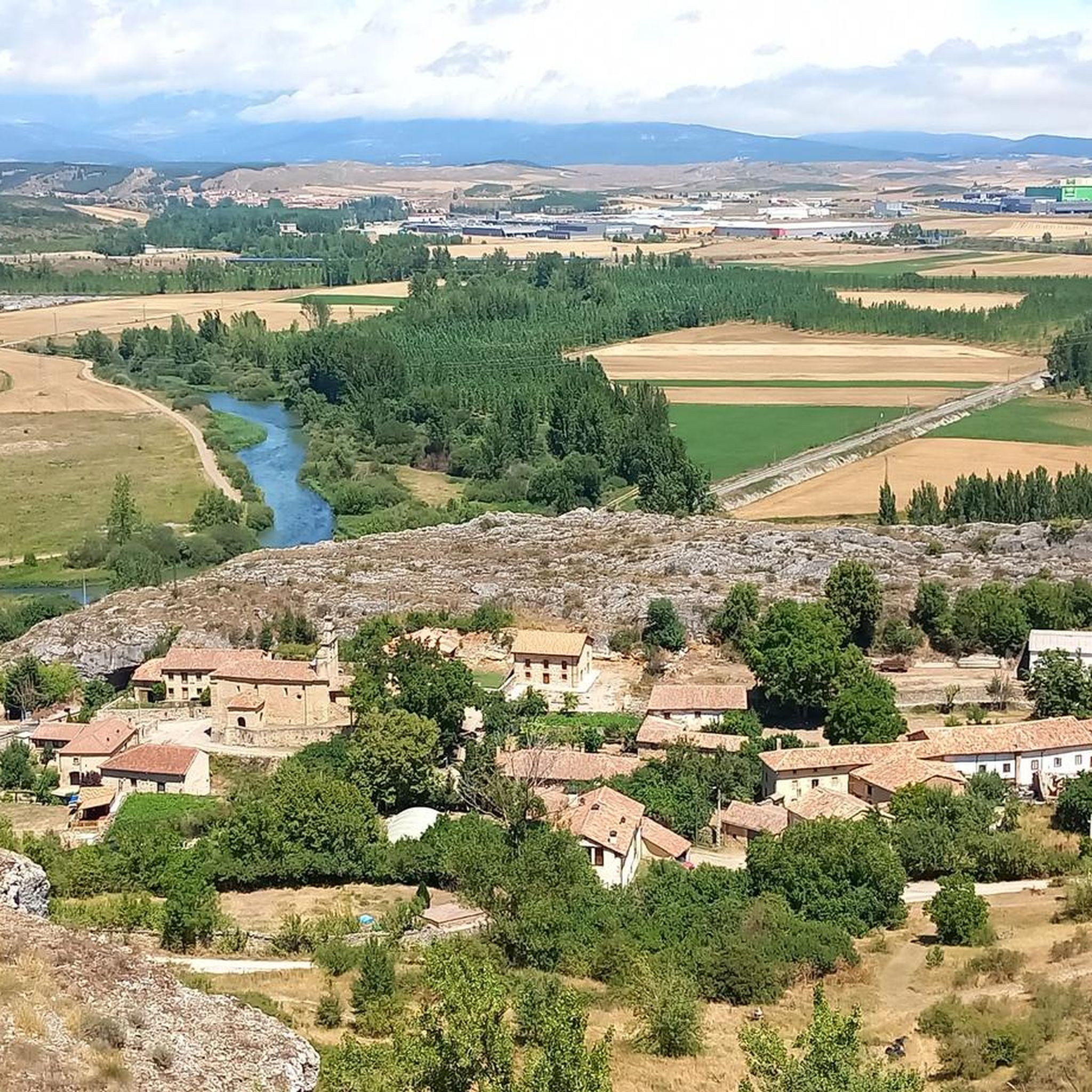
Hiking around Rebolledo De La Torre offers diverse landscapes characterized by unique limestone formations, such as those found in Las Tuerces, and rolling hills. The region features a mix of open terrain, valleys, and areas with natural rock structures. Trails often lead through varied environments, providing different perspectives of the local geology and natural features.
Best hiking trails around Rebolledo De La Torre
- The most popular hiking route is Las Tuerces Labyrinth Trail, an easy 3.1 miles (5.0 km)…
Last updated: July 1, 2026
5.0
(4)
46
hikers
5.04km
01:32
180m
180m
Explore the unique 'lunar landscape' of Las Tuerces on this easy 3.1-mile circular hike, featuring panoramic views from Peña Mesa.
5.0
(1)
2
hikers
Moderate hike. Good fitness required. Easily-accessible paths. Suitable for all skill levels.

Sign up for free
5.0
(1)
6
hikers
21.5km
06:03
430m
430m
This difficult 13.4-mile hike in Espacio Natural de las Tuerces features unique karst formations, Peña Mesa, and Castillo de Gama.
4.5
(2)
4
hikers
10.9km
02:59
180m
180m
Hike the moderate 6.7-mile Fuente la Gallina y Mojón de la Abadesa circular trail from Alar del Rey, exploring the Canal de Castilla's sourc
1
hikers
Moderate hike. Great for any fitness level. Mostly accessible paths. Sure-footedness required.
Get access to more routes and recommendations from other explorers.
Sign up for free
Already have an account?
Our route recommendations are based on thousands of hikes, rides, and runs completed by other people on komoot.
Start today with a free account
Your next adventure awaits.
Login or Signup

Tips from the Community

The Horadada Canyon is an impressive natural gorge located in the Palentina Mountains, between the municipalities of Aguilar de Campoo and Pomar de Valdivia, in the province of Palencia. This canyon has been carved by the Pisuerga River over millennia, cutting through the limestone terrain of the Las Loras and Las Tuerces natural area.
2
0
In Sotresgudo (Burgos), as in many other towns in the north of the province, there are vestiges of the Spanish Civil War, including trenches and fortifications.
4
0
The cave is a remarkable example of the region's karst formations, with stalactites and stalagmites that have been formed over thousands of years. Archaeological remains have been found indicating that the cave was used by prehistoric communities. The cave is surrounded by an impressive landscape, with views of the Peña Amaya and the Peña Ulaña, which separate the Castilian plateau from the Cantabrian mountains.
6
0

Perched on a cliff but easily accessible, it is super cool to walk among its ruins.
2
0

The stone labyrinth of Las Tuerces has several paths and the Natural monument can be explored according to one's taste, letting oneself be guided by intuition and the indications of the itineraries. The track is a general proposal with a loop that approaches the viewpoints of the Pisuerga River to learn about the natural, geological and environmental values of the natural area. The Las Tuerces labyrinth occupies a plain of limestone rocks sculpted by water erosion on a syncline hanging in the canyon of the Pisuerga River, a territory of geological interest because it marks the meeting between the Cantabrian mountains and the lands of the moor. In the shadowy stone alleys, relict beech trees, hazelnut trees, gall oaks, rocky vegetation and thorny plants from humid environments typical of other latitudes appear, coexisting amazingly with holm oaks, junipers and shrubs from a Mediterranean environment, a forest wonder. An admirable whim of nature that is a lesson in geology and the history of the Earth in the last hundred million years in the open air.
2
0

It is a limestone rock 120 cm high, which served for centuries to mark the property and jurisdiction limits of the convent of San Andrés de Arroyo. The place has an information panel.
2
0
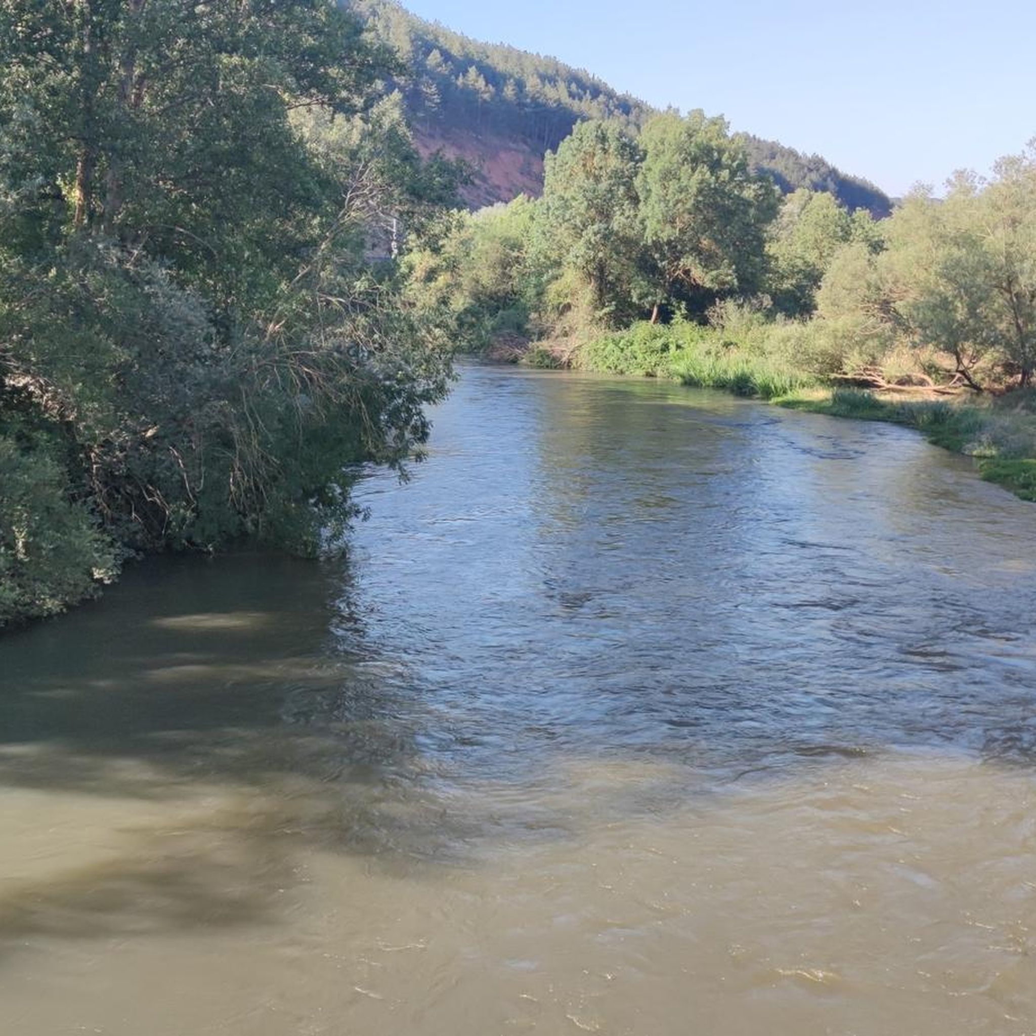
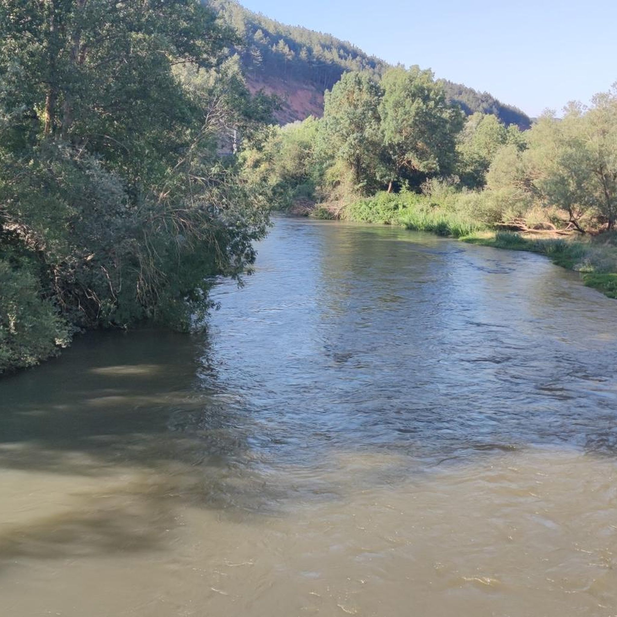
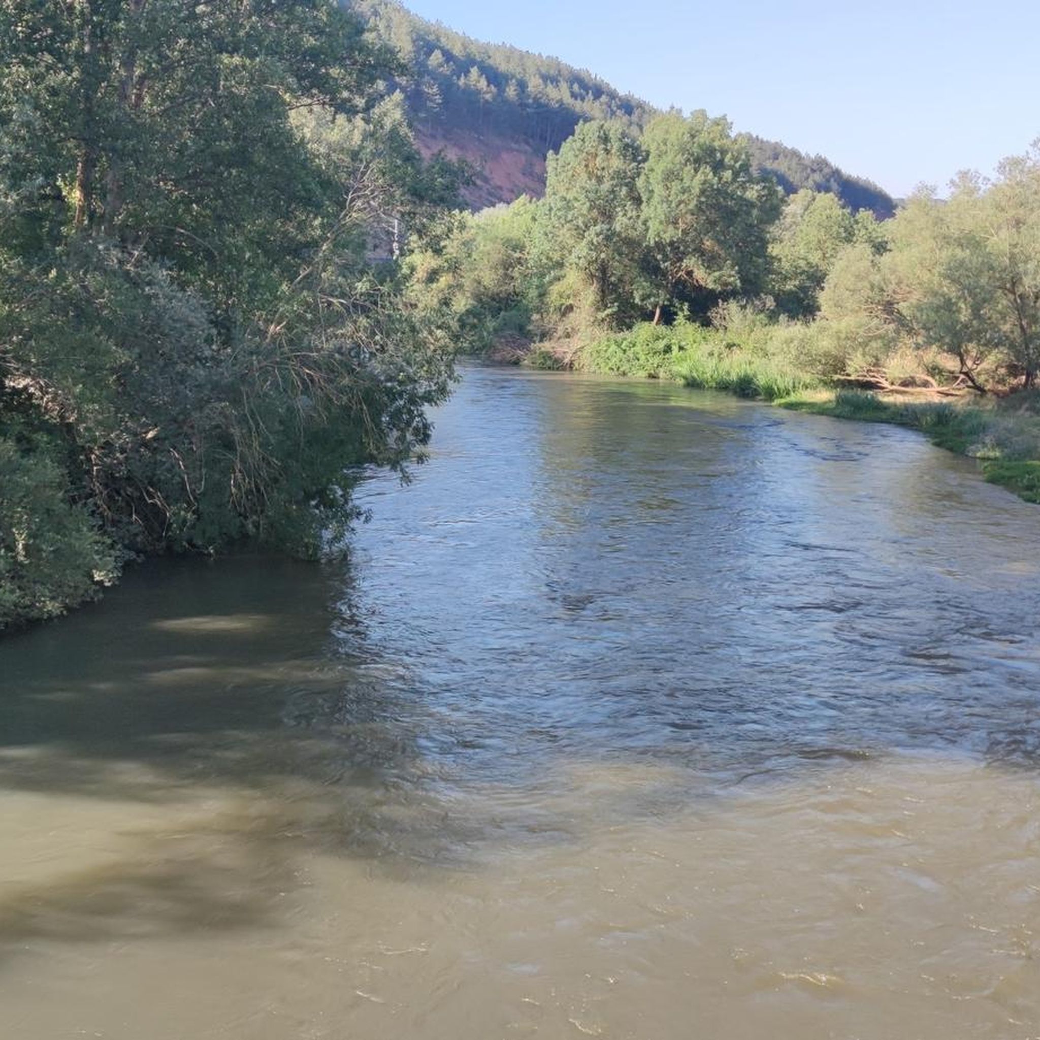
Fuente de la Gallina recreational area has benches and tables to eat or have a snack. Beautiful place that invites you to observe, rest, and walk along the path that leads the Pisuerga River. A quiet and charming landscape.
2
0
At this place the Canal de Castilla begins its journey - a masterpiece of Spanish hydraulic engineering from the 18th / 19th century. The canal is 207 km long. Here we can see the commemorative monolith for the 200 years of the North Branch of the canal, installed in 1991.
3
0
Frequently Asked Questions
How many hiking trails are available around Rebolledo De La Torre?
There are over 50 hiking routes around Rebolledo De La Torre, offering a variety of experiences from easy strolls to more challenging long-distance treks. The region features 16 easy, 35 moderate, and 4 difficult trails.
What kind of terrain can I expect on the hiking trails in Rebolledo De La Torre?
Hiking around Rebolledo De La Torre is characterized by unique limestone formations, such as those found in Las Tuerces, and rolling hills. Trails often lead through a mix of open terrain, valleys, and areas with natural rock structures, providing diverse perspectives of the local geology.
Are there easy hikes suitable for beginners or families with children?
Yes, Rebolledo De La Torre offers 16 easy routes perfect for beginners or families. A great option is the Las Tuerces Labyrinth Trail, an easy 3.1-mile (5.0 km) path that explores distinctive rock formations.
Are there any circular hiking routes in the area?
Many trails in Rebolledo De La Torre are circular, allowing you to start and end at the same point. For a moderate circular option, consider the Climb to Peña Amaya and visit its Cave — circular through Valdelucio lands, which offers panoramic views.
What do other hikers say about the trails in Rebolledo De La Torre?
The trails in Rebolledo De La Torre are highly rated by the komoot community, with an average score of 4.5 stars from over 150 reviews. Nearly 400 hikers have used komoot to explore the varied terrain, often praising the unique geological features and diverse landscapes.
Are there any waterfalls or caves to explore along the hiking routes?
Yes, the region features several natural attractions. You can find the Covalagua Waterfall and explore caves like the Horadada Tunnel or the Cave of Amaya. Some routes, like the Las Tuerces and Horadada Canyon Loop, will take you through dramatic canyons and rock landscapes.
Can I bring my dog on the hiking trails?
Most hiking trails in Rebolledo De La Torre are dog-friendly. However, it's always recommended to keep your dog on a leash, especially in areas with wildlife or near agricultural land, and to follow local regulations regarding pets.
Are there any longer or more challenging hikes for experienced trekkers?
Yes, for experienced trekkers, there are 4 difficult routes available. The Las Tuerces and Horadada Canyon Loop is a challenging 13.4-mile (21.5 km) trail leading through dramatic canyons and rock landscapes, typically completed in about 6 hours.
What are some interesting landmarks or viewpoints to discover?
Beyond the trails, you can discover several interesting landmarks and viewpoints. Highlights include Peña Mesa, the Valcabado Viewpoint, and the historical site of CastroAmaya. The View of Peña Amaya and Castillo de Peña Amaya also offers stunning vistas.
Are there any moderate-difficulty loop trails that are a good length for a half-day hike?
For a moderate half-day hike, the Fuente la Gallina and Mojón de la Abadesa Loop is an excellent choice. This 6.7-mile (10.8 km) route offers a balanced challenge and scenic views, typically taking around 3 hours to complete.
What is the best time of year to go hiking in Rebolledo De La Torre?
The best time to hike in Rebolledo De La Torre is generally during spring and autumn when the weather is mild and the landscapes are vibrant. Summer can also be pleasant, especially in the mornings or late afternoons, but always check local weather forecasts.
Are there any trails that start from or pass through Alar del Rey?
Yes, there are routes that connect to nearby towns. For example, the Nogales de Pisuegra by the Parque de la Gallina — circular from Alar del Rey is a moderate 4-mile (6.4 km) circular trail starting from Alar del Rey.
Most popular routes around Rebolledo De La Torre
Most popular attractions around Rebolledo De La Torre

Get inspired with the komoot mobile app


Explore more
Browse the best Hikes in other regions.
