The best mountain hikes around La Victoria De Acentejo
4.7
(7)
54
hikers
8
hikes
Mountaineering around La Victoria De Acentejo offers diverse and challenging routes across the northern part of Tenerife. The region is characterized by varied topography, ranging from coastal ravines like Barranco Hondo to high mountain sections reaching 1,748 meters. Extensive pine and laurel forests, along with protected landscapes such as Paisaje Protegido de Las Lagunetas, define the terrain. Significant elevation changes provide demanding treks through volcanic landscapes and lush woodlands.
Best mountaineering routes around La Victoria De Acentejo
- The most popular…
Last updated: May 20, 2026
4.8
(4)
24
hikers
11.0km
04:22
580m
580m
Moderate mountaineering route. Good fitness required. Mostly accessible paths. Sure-footedness required.
4.7
(3)
19
hikers
10.1km
03:58
540m
540m
Moderate mountaineering route. Good fitness required. Mostly accessible paths. Sure-footedness required.

Sign up for free
8
hikers
9.13km
04:59
890m
890m
Moderate mountaineering route. Good fitness required. Mostly accessible paths. Sure-footedness required.
2
hikers
Moderate mountaineering route. Great for any fitness level. Mostly accessible paths. Sure-footedness required.
1
hikers
4.85km
01:32
200m
200m
Easy mountaineering route. Great for any fitness level. Easily-accessible paths. Suitable for all skill levels.
Get access to more routes and recommendations from other explorers.
Sign up for free
Already have an account?
Our route recommendations are based on thousands of hikes, rides, and runs completed by other people on komoot.
Start today with a free account
Your next adventure awaits.
Login or Signup

Tips from the Community


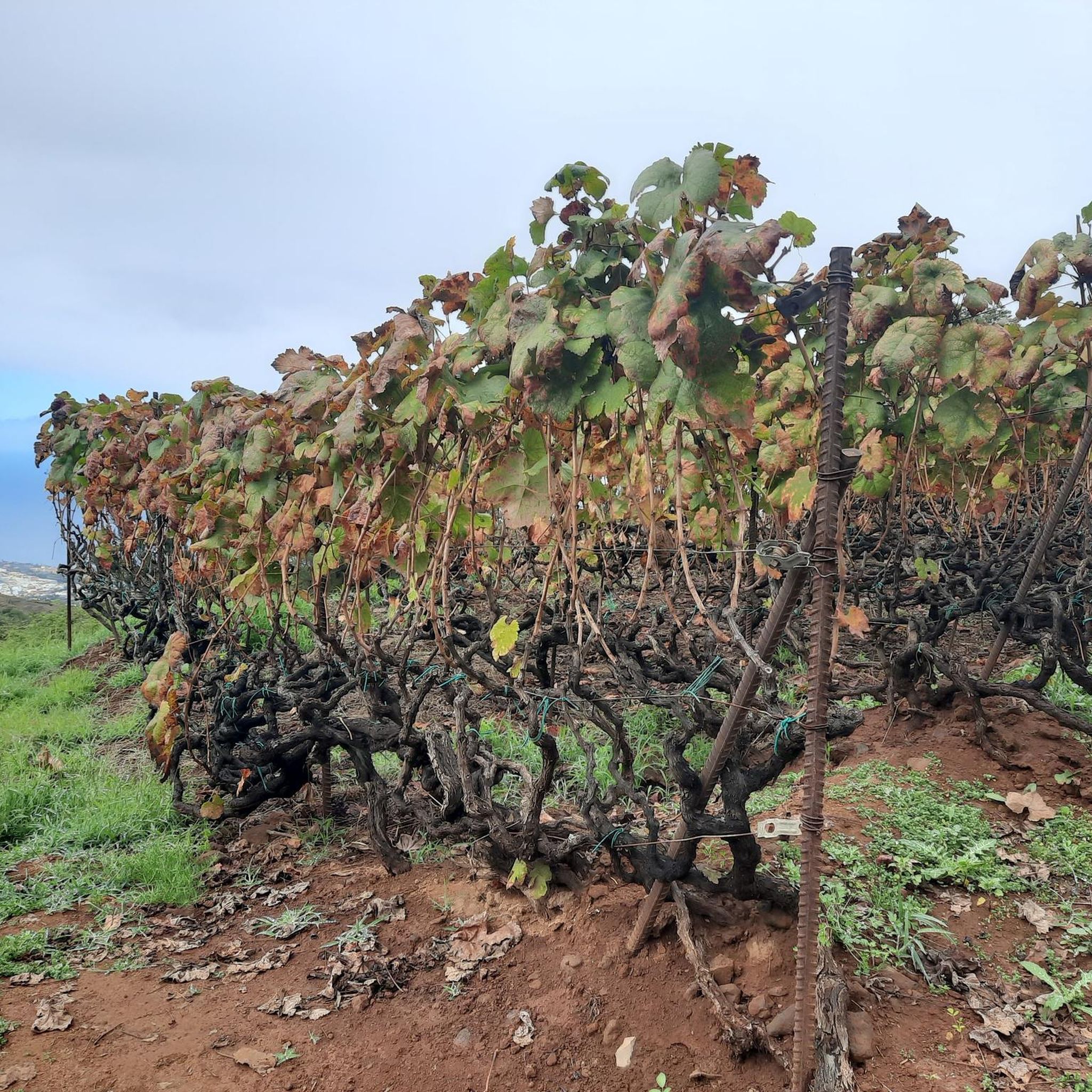
In February, montbretia, Canary Island snowball bush, and yellow fields of wood sorrel bloom here.
0
0

A beautiful hike through the mixed forest; the scent of the eucalyptus trees is fantastic. A hike that is both highly recommended and interesting 👍🏻.
3
0
A wonderful picnic spot that appears at just the right time after a great hike through the Agua Garcia visitor center. A truly beautiful hike, highly recommended 👍🏻.
3
1
The chapel is located in Lomo La Jara. The hiking trail is called Pista Montana el Haya; it's a great hiking route that leads along here amidst beautiful nature 💚.
3
1

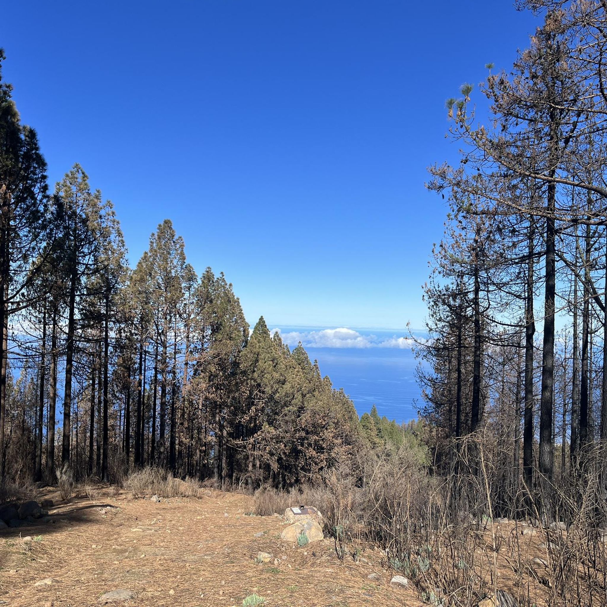
Ideal starting point for many beautiful mountain hikes. Parking spaces and bus station.
10
0
Very beautiful mountain path to the Montagna de las Cuevas
9
0
Frequently Asked Questions
How many mountaineering routes are available in La Victoria de Acentejo?
There are 8 mountaineering routes documented around La Victoria de Acentejo, offering a range of experiences from easy strolls to more challenging ascents.
What are the different difficulty levels for mountaineering routes in La Victoria de Acentejo?
You'll find a variety of difficulty levels. There is 1 easy route, 6 moderate routes, and 1 difficult route. This range ensures options for different fitness levels and experience.
Are there any easy mountaineering routes suitable for beginners in La Victoria de Acentejo?
Yes, for those looking for an easier experience, consider the Eucalyptus Grove – Cruz de Fune Chapel loop from Agua García. This route is rated as easy and covers a distance of 4.8 km.
Which routes offer panoramic views of Mount Teide or the surrounding landscapes?
Many routes provide stunning vistas. The La Caldera Natural Park – View of Teide loop from Parking La Caldera offers clear views of Teide. Another excellent option is the View of Teide – Mirador de la Glorieta loop from Aguamansa, which provides panoramic vistas from Mirador de la Glorieta. Additionally, the View of Teide from Portillo del Topo is a notable viewpoint in the area.
Are there any circular mountaineering routes in La Victoria de Acentejo?
Yes, several routes are circular, allowing you to start and end at the same point. Examples include the popular La Caldera Natural Park – View of Teide loop from Parking La Caldera and the Mountaineering loop from Aguamansa.
What kind of natural landscapes can I expect to see on these routes?
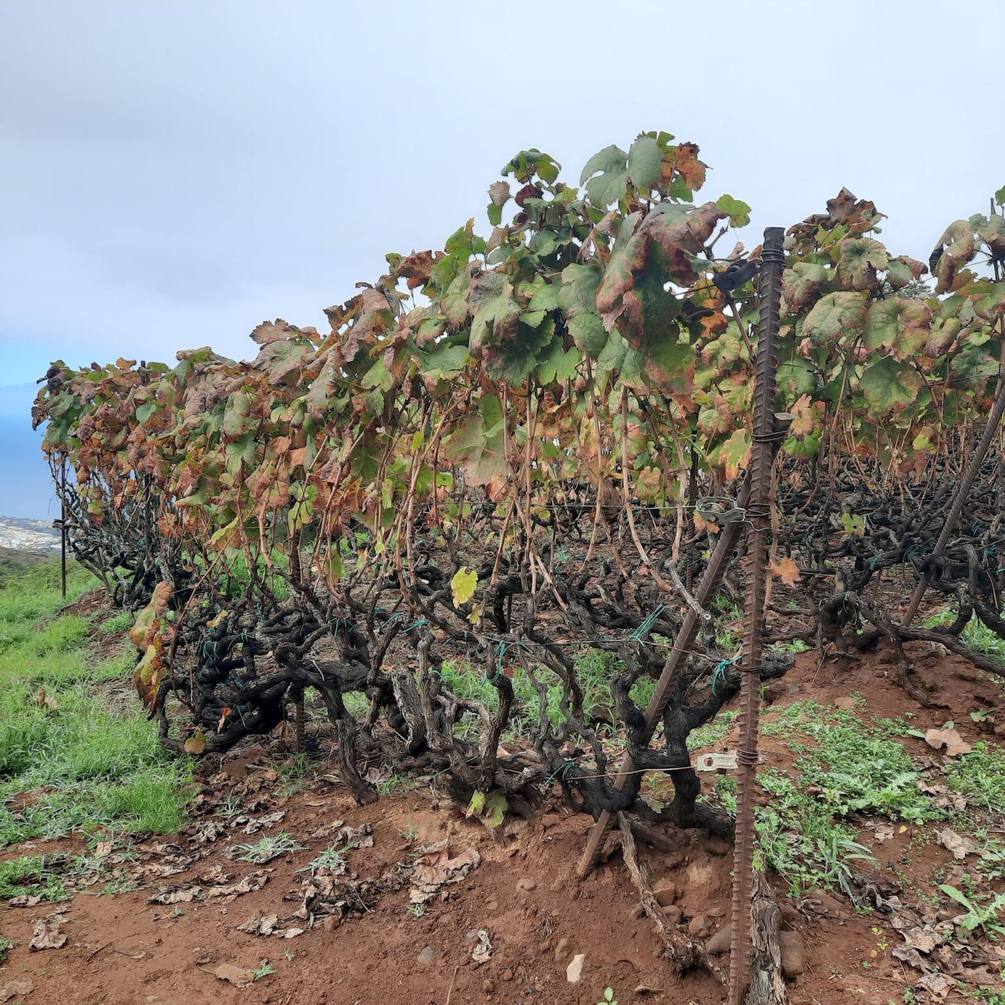
The routes traverse diverse landscapes, from extensive pine and laurel forests, particularly in areas like Paisaje Protegido de Las Lagunetas, to deep ravines such as Barranco de Acentejo and Barranco Hondo. You'll also encounter dramatic volcanic terrain and coastal cliff landscapes, especially within the Costa de Acentejo Protected Landscape.
Are there any specific protected natural areas that the routes pass through?
Yes, many routes are within or border significant protected areas. You can explore trails in the Paisaje Protegido de Las Lagunetas, known for its chestnut trees, vineyards, and pine forests. The Barranco Hondo also offers trails leading to the coast within the Costa de Acentejo Protected Landscape.
What do other mountaineers say about the routes in La Victoria de Acentejo?
The routes in La Victoria de Acentejo are highly rated by the komoot community, with an average score of 5.0 stars from over 5 reviews. Mountaineers often praise the varied terrain, the stunning views of Teide, and the immersive experience within the natural parks and forests.
Are there any interesting landmarks or attractions near the mountaineering routes?
Beyond the routes themselves, you can find several points of interest. The Los Roques coastal rock formation offers a unique natural spectacle. For impressive views, visit the View of Teide from Portillo del Topo. The area also features various beaches like El Bollullo Beach and Los Roques Beach.
What is the best time of year for mountaineering in La Victoria de Acentejo?
Tenerife generally offers good conditions year-round. However, for mountaineering, the cooler months from autumn to spring (October to May) are often preferred, as summer temperatures can be quite high, especially at lower elevations. Always check local weather forecasts before heading out.
Are the mountaineering routes in La Victoria de Acentejo suitable for families?
While many routes involve significant elevation changes and can be demanding, there are options suitable for families. The easy-rated Eucalyptus Grove – Cruz de Fune Chapel loop from Agua García is a good starting point for families looking for a less strenuous experience. Always consider the distance and elevation gain when choosing a route for children.
Can I bring my dog on the mountaineering trails?
Many trails in natural areas across Tenerife are dog-friendly, but regulations can vary. It's always best to check specific park rules or local signage for the particular route you plan to take. Generally, dogs should be kept on a leash to protect local wildlife and ensure their safety on challenging terrain.
Most popular routes around La Victoria De Acentejo
Most popular attractions around La Victoria De Acentejo

Get inspired with the komoot mobile app


Explore more
Browse the best Mountain Hikes & Routes in other regions.
