The best walks and hikes around Fonfría
4.4
(6)
49
hikers
14
hikes
Hiking trails around Fonfría traverse a landscape characterized by its distinct mountain terrain, traditional stone architecture, and significant natural features. The region includes challenging ascents through areas like the O Cebreiro pass and the Sierra de Ancares, offering dramatic views from elevated points such as the Collada de los Ortigales (2,056 meters). Shaded forest paths are common, and the area is recognized as a protected natural zone. A natural water spring, the origin of the town's name, is a notable…
Last updated: July 2, 2026
5.0
(1)
9
hikers
Moderate hike. Good fitness required. Easily-accessible paths. Suitable for all skill levels.
5.0
(1)
2
hikers
3.44km
00:57
60m
60m
Easy hike. Great for any fitness level. Easily-accessible paths. Suitable for all skill levels.

Sign up for free
1
hikers
10.1km
02:44
140m
130m
Moderate hike. Good fitness required. Easily-accessible paths. Suitable for all skill levels.
2
hikers
5.43km
01:39
180m
180m
Easy hike. Great for any fitness level. Easily-accessible paths. Suitable for all skill levels.
2
hikers
7.95km
02:13
160m
150m
Moderate hike. Good fitness required. Easily-accessible paths. Suitable for all skill levels.
Get access to more routes and recommendations from other explorers.
Sign up for free
Already have an account?
Our route recommendations are based on thousands of hikes, rides, and runs completed by other people on komoot.
Start today with a free account
Your next adventure awaits.
Login or Signup
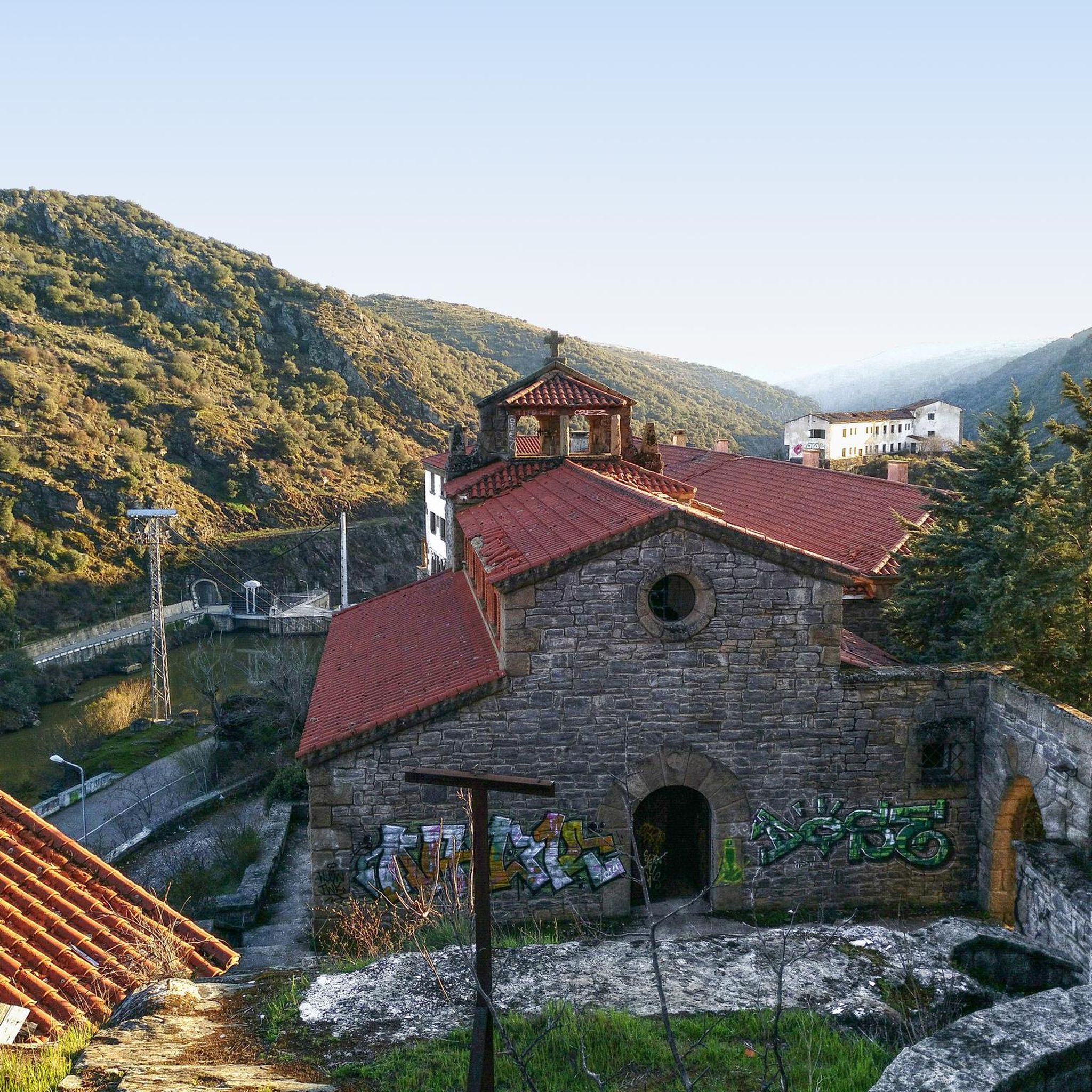
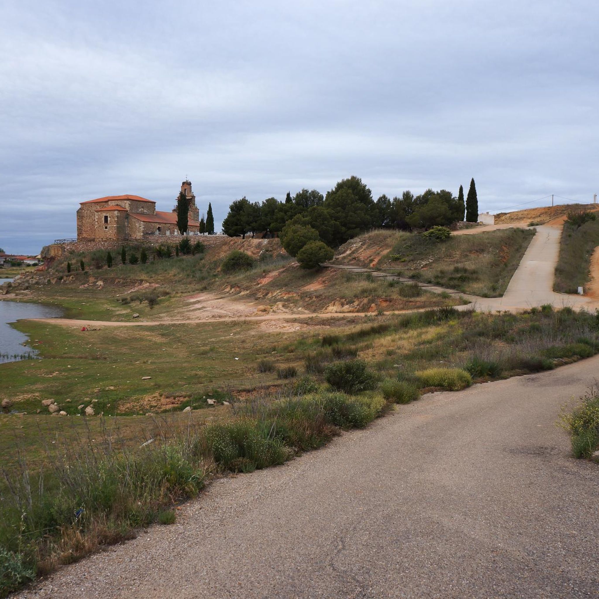

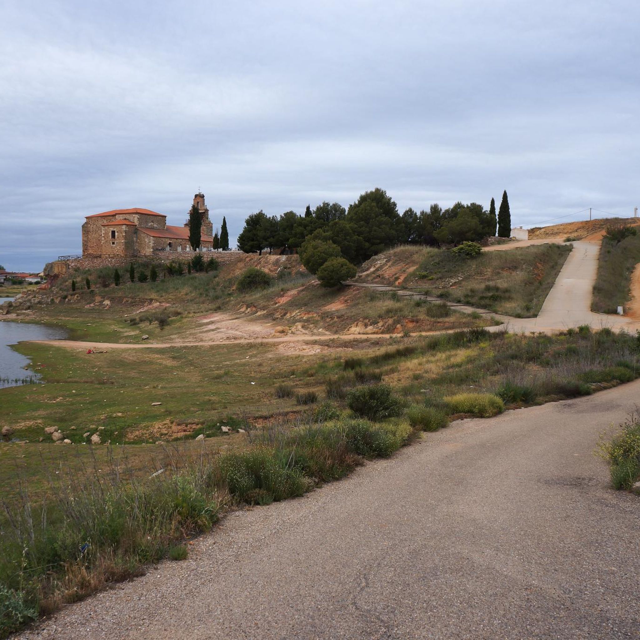
Tips from the Community

Peña el Pingón is a prominent natural landmark on the hiking trails of Alcañices. Located in a spectacular setting, it is one of the most highly recommended spots by both local and visiting hikers. At the base of Peña el Pingón, or in its immediate vicinity, lies a cave, seamlessly integrated into the surrounding rocky landscape. It adds to the area's charm and is a popular stopping point on hiking routes.
2
0
The La Ribera Stream Bridge in Fonfría is a picturesque spot perfect for hiking and nature lovers. It's a stone bridge that allows you to cross the La Ribera Stream. The area offers several scenic trails to enjoy the nature and scenery.
5
0
The Molino de los Carbajos is an old mill located in the Aliste region, near Fonfría, in the province of Zamora. This mill is a popular point of interest for hiking and nature lovers. It is located on a marked trail that runs from Brandilanes to Castro, following the white and yellow signs. The Molino de los Carbajos is perfect for a short excursion and to enjoy the natural beauty of Aliste.
5
0
The Molino de los Tejeros is located on the hiking route that goes from Castro de Alcañices to Brandilanes, in the Aliste region, Zamora. This route, known as the Rivera de los Molinos, is famous for its natural beauty and its ethnological heritage, since along the route you can see several old water mills.
8
0
The Alba de Aliste Castle is an old medieval fortification located in the town of the same name, belonging to the municipality of Losacino, in the province of Zamora, Spain. The remains of the castle are located on a hill that overlooks the Aliste river and the Retael stream. Although its geographical environment is currently profoundly modified due to the construction of the Ricobayo dam, this castle had notable defensive value in its time.
2
0
The urban center of Pino del Oro preserves samples of its traditional stone architecture, its main building being the parish church of San Juan Bautista. Furthermore, along the Fuentelarraya stream, there is an old mining area with numerous structures for extracting and handling minerals to obtain gold, built by the Romans around the 1st and 2nd centuries AD.
2
0

A fun descent towards the Duero, the zigzag path, the views are impressive.
3
0
A magnificent view from the viewpoint of the Duero River, next to the iron bridge from 1914.
1
0
Frequently Asked Questions
How many hiking trails are available around Fonfría?
There are 14 hiking trails in the Fonfría region, offering a variety of experiences. These include 4 easy routes, 9 moderate routes, and 1 difficult route, catering to different skill levels.
Are there any easy, family-friendly walks in Fonfría?
Yes, Fonfría offers several easy routes suitable for families. One option is the La Palia Waterfall - round trip from Valdoradas bridge, which is 3.4 km long and takes about 57 minutes to complete, leading through natural landscapes to a waterfall. Another easy route is Río Duero desde Pino del Oro — circular, a 5.4 km path.
Can I find circular hiking routes in the Fonfría area?
Absolutely. Many trails in Fonfría are circular, allowing you to start and end at the same point. For example, consider The Rivera de los Molinos de Brandilanes — circular from Castro de Alcañices, a moderate 8.6 km route with varied terrain and riverside sections, or Via verde del rio Angueira — circular desde Alcanices, a 10.1 km path following the Angueira river.
Are there any waterfalls to see on hikes around Fonfría?
Yes, you can hike to waterfalls in the region. The La Palia Waterfall - round trip from Valdoradas bridge is a popular easy trail specifically leading to a waterfall. Additionally, the Cadozos Waterfall is another natural highlight in the area.
What kind of natural features and landscapes can I expect to see while hiking in Fonfría?
Fonfría is characterized by stunning mountain landscapes, traditional stone architecture, and significant natural features. You'll find shaded forest paths, dramatic river canyons, and impressive elevations offering spectacular views from points like the Collada de los Ortigales (2,056 meters). The area is also home to a natural water spring, which is the origin of the town's name.
Are there any historical landmarks or viewpoints along the trails?
Yes, the region offers several notable landmarks and viewpoints. You can explore the Alba Castle, or visit various viewpoints offering panoramic vistas of the Douro Canyon, such as the São João das Arribas Viewpoint, the View of the Douro Canyon, and the Castrilhouço Viewpoint. The Requejo Bridge is another interesting structure.
What do other hikers say about the trails in Fonfría?
The routes in Fonfría are highly rated by the komoot community, with an average score of 4.7 stars. Hikers often praise the varied terrain, from riverside sections to shaded forest paths, and the tranquil environment found on trails like the Via verde del rio Angueira.
Is Fonfría part of the Camino de Santiago?
Yes, Fonfría is a significant point on the historic Camino de Santiago, specifically the challenging Camino Francés. Pilgrims and hikers passing through the village can experience traditional elements, including an outdoor washing area still used by residents.
What is the best time of year to go hiking in Fonfría?
While hiking is possible year-round, the best time to visit Fonfría for hiking is generally during the spring and autumn months. These seasons offer pleasant temperatures and vibrant natural scenery. Summer can be warm, especially at lower elevations, while winter can bring colder temperatures and snow to higher mountain passes like O Cebreiro.
Are there any trails that offer views of the Douro River or Canyon?
Yes, the nearby International Douro Natural Park features the majestic Douro Canyon. Trails in this area, such as Río Duero desde Pino del Oro — circular, offer opportunities to experience the river vistas. Viewpoints like the São João das Arribas Viewpoint and the View of the Douro Canyon provide panoramic views of the rugged geological formations.
What is the typical elevation gain on hikes in Fonfría?
The elevation gain varies significantly across the region's trails. While some easy routes like La Palia Waterfall - round trip from Valdoradas bridge have a modest gain of around 63 meters, more challenging routes can involve significant ascents through areas like the O Cebreiro pass and the Sierra de Ancares, reaching elevated points over 2,000 meters.
Most popular attractions around Fonfría

Get inspired with the komoot mobile app


Explore more
Browse the best Hikes in other regions.
