The best mountain hikes around Alins
4.9
(6)
45
hikers
8
hikes
Mountaineering routes around Alins are set within the dramatic landscapes of the Pyrenees mountains in Catalonia, Spain. The region is characterized by high peaks, significant elevation changes, and expansive mountain vistas, with summits reaching up to 3,400 meters. This diverse mountainous terrain offers a range of challenging alpine pursuits for experienced mountaineers.
Best mountaineering routes around Alins
- The most popular mountaineering route is Artiga de Lin Waterfall – Estany Negre loop from Arinsal, a 9.1 miles (14.7 km) trail…
Last updated: July 4, 2026
8
hikers
Moderate mountaineering route. Good fitness required. Mostly accessible paths. Sure-footedness required.
5.0
(1)
8
hikers
8.83km
04:10
700m
700m
Moderate mountaineering route. Good fitness required. Mostly accessible paths. Sure-footedness required.

Sign up for free
6
hikers
10.0km
05:02
820m
820m
Hard mountaineering route. Very good fitness required. Mostly accessible paths. Sure-footedness required.
4.5
(2)
6
hikers
7.13km
02:45
490m
480m
Moderate mountaineering route. Good fitness required. Mostly accessible paths. Sure-footedness required.
6
hikers
11.3km
04:49
690m
690m
Hard mountaineering route. Good fitness required. Sure-footedness, sturdy shoes and alpine experience required.
Get access to more routes and recommendations from other explorers.
Sign up for free
Already have an account?
Our route recommendations are based on thousands of hikes, rides, and runs completed by other people on komoot.
Start today with a free account
Your next adventure awaits.
Login or Signup


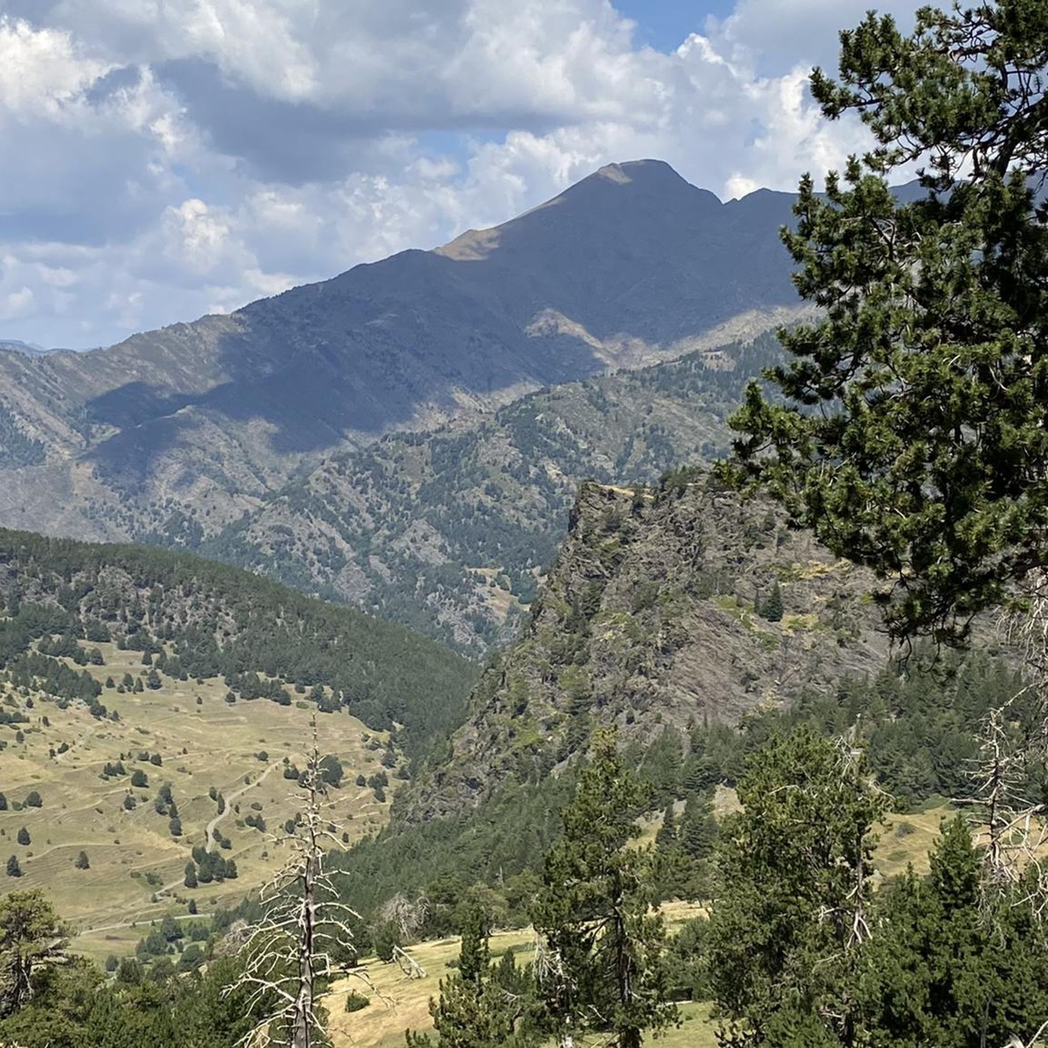
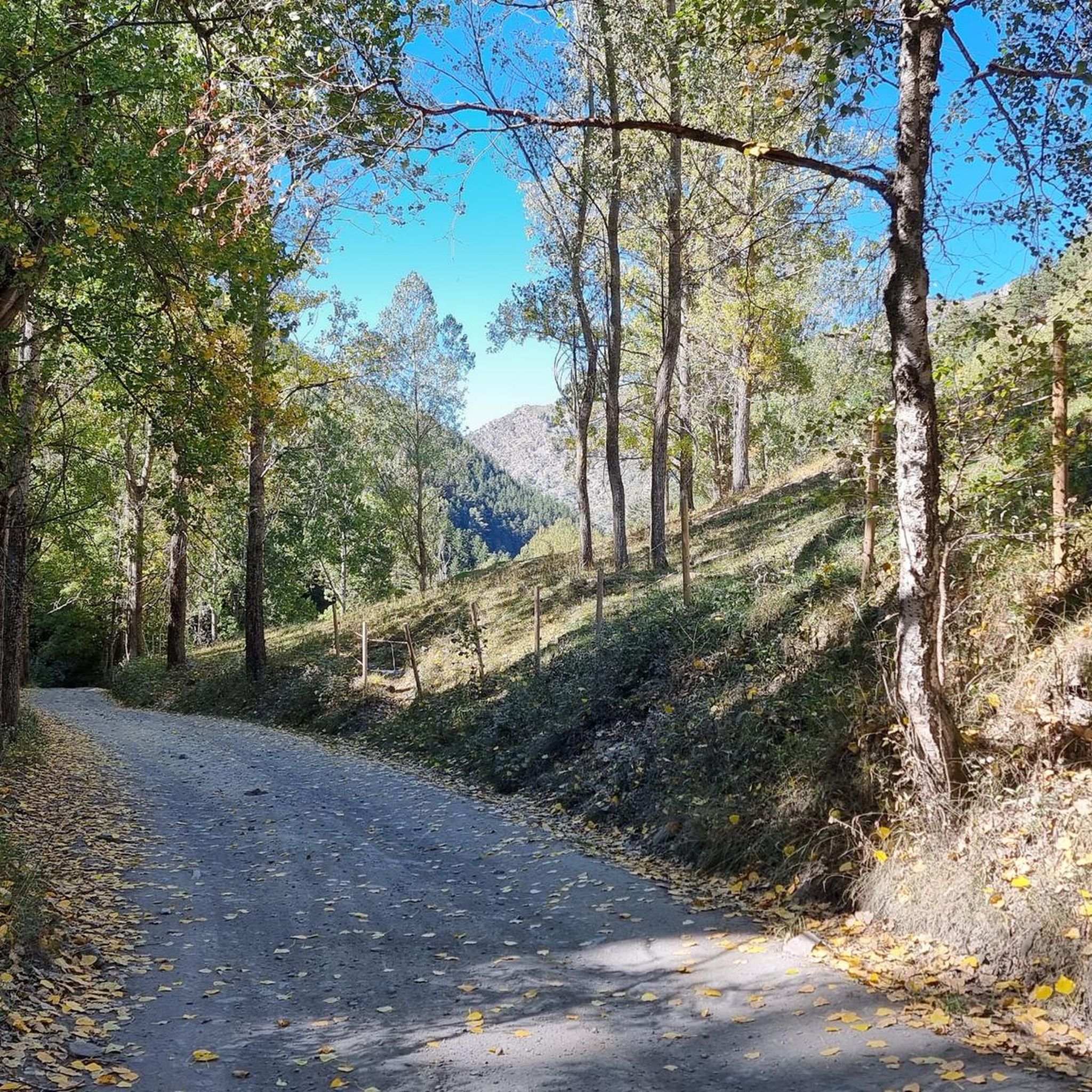
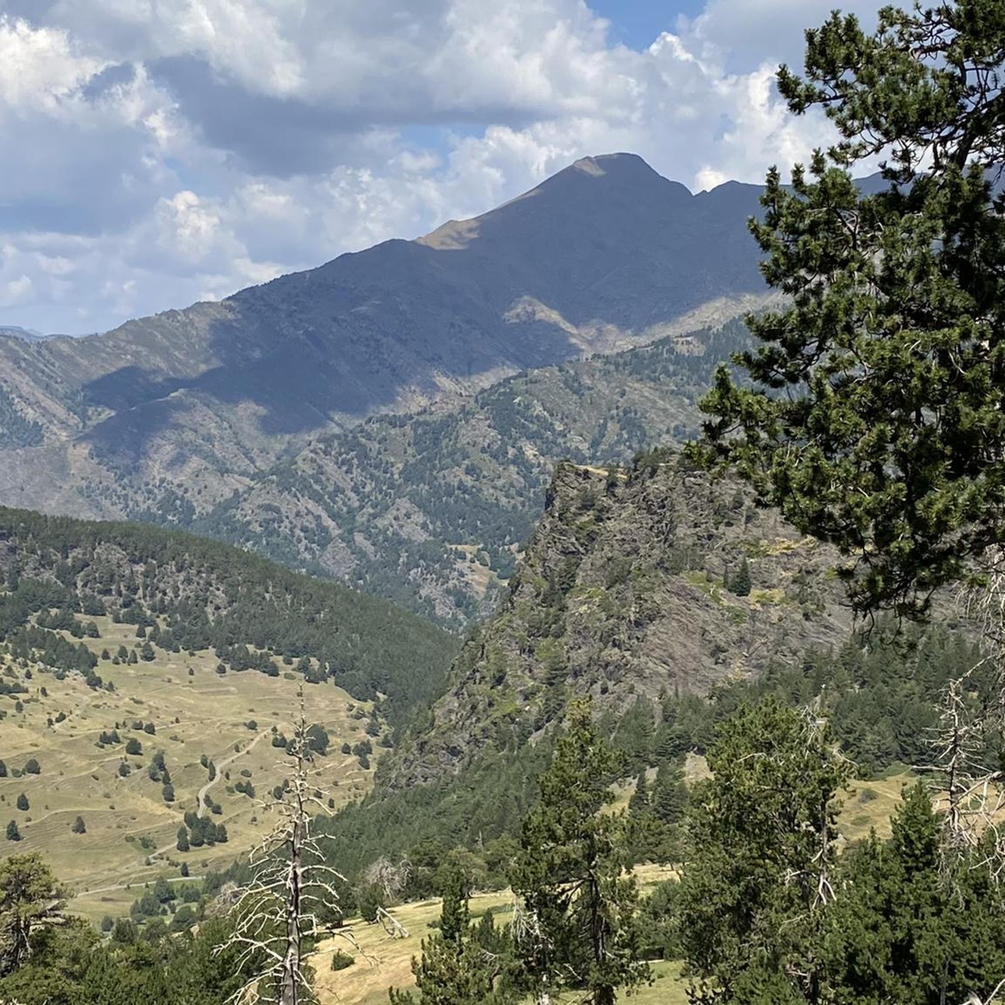
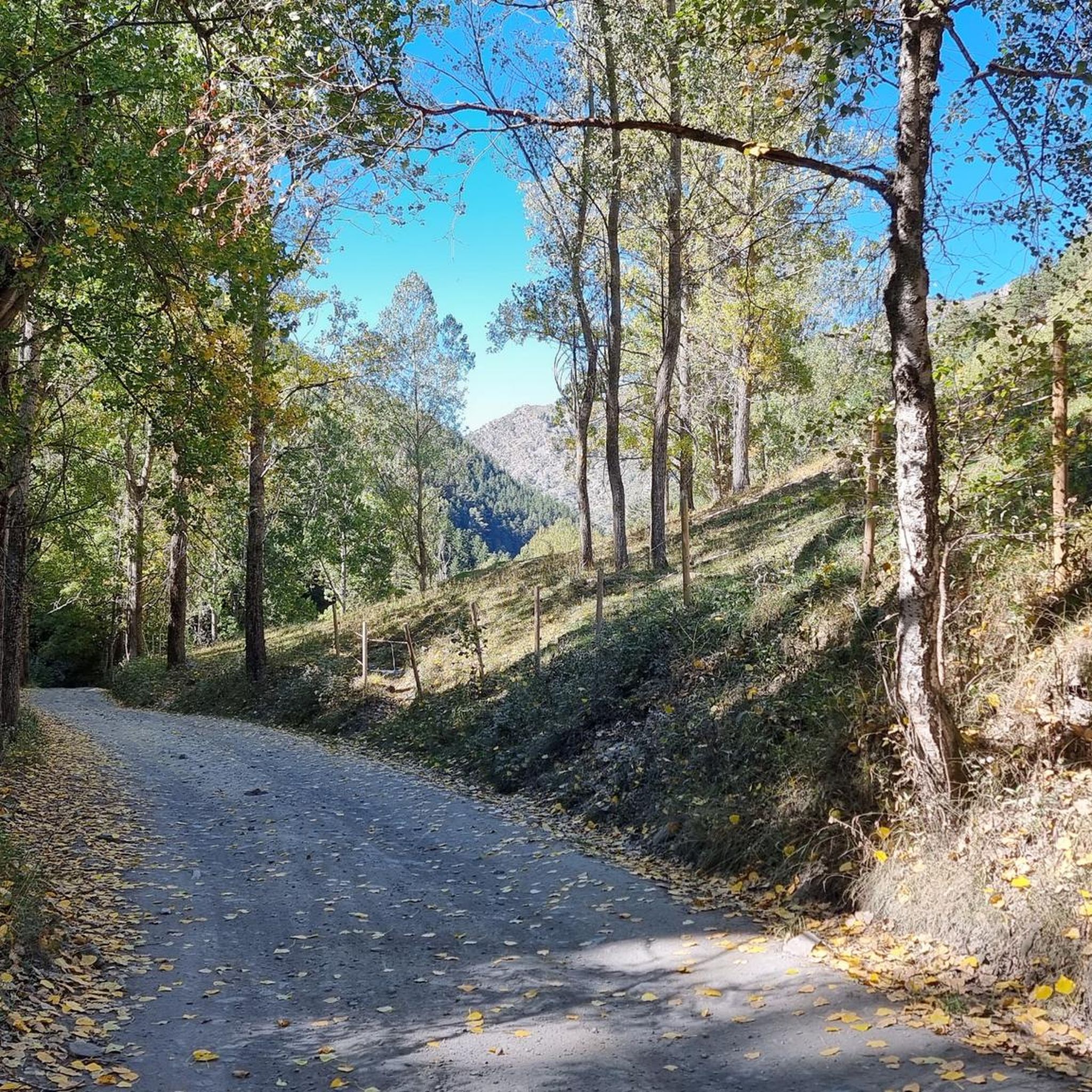



Tips from the Community

When is the price per person per night?
0
0

Perhaps not the most comfortable bench, but a very photogenic one made of stone in a beautiful spot. During the season and on weekends when the weather is nice, the parking lot gets busy... Starting point for many different hiking and mountain tours. Please open the image for portrait format.
2
0
A scenic parking lot above the reservoir. From here, you can start a variety of hikes and mountain tours, including the shortest (but challenging T4) ascent to the Pica d'Estats, Montcalm, and Pic de l'Étang Fourcat. However, in good weather and on weekends, this spot is very busy, so even the plentiful parking spaces are limited. Mountaineers who want to avoid this should set off early.
2
0

The river originates in the heights of the Comapedrosa area, at a considerable altitude, and descends through a steep valley, contributing to the Arinsal River. The waterfall is one of the most impressive in the region, with a waterfall that, although not extremely high, is known for its beauty and the force of the water, especially in spring, when the thaw feeds the river flow. The waterfall is located at an altitude of approximately 1,800 meters above sea level and is accessible through hiking routes that start from Arinsal or the Pla del Estany Refuge.
0
0
From the usual starting point in Arinsal, the route to the Pla del Estany Refuge covers approximately 4 kilometres of ascent. The route has a positive gradient of about 500 metres, which makes it quite demanding, especially in the final sections. The lake is located at an altitude of approximately 2,056 metres above sea level. It is a relatively small lake, with a modest surface area, suitable for enjoying the serenity of the surrounding mountain landscape.
0
0
The Refugi del Pla de l'Estany is an unguarded refuge, meaning there is no permanent staff on site. It is a simple stone construction that offers basic accommodation for hikers, sleeping around 6 to 8 people. It has bunk beds, but no amenities such as electricity, running water or food, so it is necessary to bring everything necessary for the stay. This refuge is mainly used as a resting point for hikers on multi-day routes in the area, or as a base for ascending Comapedrosa. It is an ideal place for those looking to enjoy nature in its purest state and the tranquility of the high mountains.
0
0

Beautiful cabin used for livestock farming, with a vegetal roof created by means of a lowered vault.
0
0

A meadow with small meltwater ponds surrounded by mountain peaks.
0
0
Frequently Asked Questions
What is the general difficulty level of mountaineering routes around Alins?
The mountaineering routes around Alins are predominantly challenging, with most routes rated as difficult. However, there are also several moderate options available for those seeking a less strenuous experience. Overall, the region is characterized by significant elevation changes and high Pyrenean peaks, making it ideal for experienced mountaineers.
Are there any moderate mountaineering routes suitable for those with less experience?
Yes, while many routes are difficult, there are moderate options available. For example, the Pla de l'Estany Mountain Lake – Comapedrosa Tunnel Entrance loop from Arinsal is a moderate 8.6 km route that offers beautiful scenery without the extreme demands of the more difficult trails. Another good choice is the Comapedrosa Tunnel Entrance – Coma Pedrosa Hut loop from Arinsal, which is 8.8 km long and also rated moderate.
What kind of views can I expect on the mountaineering routes in Alins?
Mountaineering in Alins offers breathtaking panoramic views. From various points, you can enjoy expansive vistas of the Pyrenees, including distant sightings of Aneto, one of the highest peaks. The region is known for its dramatic landscapes, high mountain passes, and diverse mountainous terrain, providing spectacular scenery throughout your journey.
Are there any circular mountaineering routes in the Alins area?
Yes, many of the mountaineering routes around Alins are designed as loops, allowing you to start and end at the same point. Notable circular routes include the challenging Artiga de Lin Waterfall – Estany Negre loop from Arinsal, and the demanding Pica d'Estats Summit – Pic Verdaguer loop from Refugi de Vallferrera. There's also the Pic Verdaguer – Pica d'Estats Summit loop from L'Artigue, offering extensive views.
What do other mountaineers say about the routes in Alins?
The mountaineering routes in Alins are highly regarded by the komoot community, holding an impressive average rating of 4.9 stars from over 10 reviews. Mountaineers frequently praise the stunning alpine scenery, the challenging yet rewarding nature of the trails, and the expansive views of the Pyrenees.
What is the best time of year for mountaineering in Alins?
Given its location in the Pyrenees with summits up to 3,400 meters, the best time for mountaineering in Alins is typically during the warmer months, from late spring to early autumn. This period offers more stable weather conditions and less snow, making high-alpine routes more accessible. Winter mountaineering is possible but requires specialized equipment and experience due to snow, ice, and colder temperatures.
Are there any notable natural attractions or landmarks along the mountaineering routes?
While the routes themselves offer stunning natural beauty, the broader region around Alins boasts several interesting features. You might encounter areas with dramatic river canyons and cliffs. For specific landmarks, consider exploring nearby mountain passes like Collada de Beixalis or Coll de la Gallina, which offer unique perspectives of the landscape.
Are there any opportunities for rock or ice climbing in the Alins region?
The diverse mountainous terrain of the Pyrenees, which surrounds Alins, offers various climbing experiences. This includes opportunities for both rock climbing on different rock types and ice climbing, catering to a range of mountaineering skills and preferences. The region's significant elevation changes and natural formations make it suitable for such alpine pursuits.
Are permits required for mountaineering in the Alins area?
The guide data does not indicate that specific permits are required for general mountaineering on the listed routes around Alins. However, for certain protected areas, high-altitude expeditions, or specific climbing activities, it's always advisable to check with local authorities or park management for any current regulations or permit requirements before embarking on your trip.
Are there any facilities or places to eat near the trailheads in Alins?
While specific cafes directly at every trailhead are not detailed, the region around Alins is generally well-equipped for outdoor enthusiasts. You'll find villages and towns in the Pallars Sobirà region where you can find amenities, including places to eat and drink, before or after your mountaineering adventure. It's recommended to carry sufficient supplies for your chosen route.
What kind of wildlife might I encounter on the mountaineering routes?
The Pyrenees are home to diverse wildlife. While specific sightings are never guaranteed, mountaineering in Alins offers the chance to observe various species adapted to alpine environments. Keep an eye out for birds of prey, chamois, and marmots. Respecting their natural habitat and maintaining a quiet presence will increase your chances of a memorable encounter.
Most popular attractions around Alins

Get inspired with the komoot mobile app


Explore more
Browse the best Mountain Hikes & Routes in other regions.
