The best walks and hikes around Alins
4.5
(122)
1,813
hikers
38
hikes
Hiking around Alins, nestled in the Spanish Pyrenees, offers diverse trails through dramatic landscapes. The region is characterized by high Pyrenean peaks, including Pica d'Estats, Catalonia's highest point, and is traversed by the Noguera de Vallferrera river. Hikers can explore varied ecosystems, from dense forests and summer pastures to rocky slopes, within the Alt Pirineu Natural Park. Mountain lakes like Estany d'Estats further enhance the scenic beauty of the hiking routes.
Best hiking trails around Alins
- The most popular hiking…
Last updated: October 10, 2026
4.8
(15)
497
hikers
19.1km
09:57
1,340m
1,340m
Hard hike. Very good fitness required. Sure-footedness, sturdy shoes and alpine experience required.
5.0
(2)
17
hikers
7.60km
03:36
830m
830m
Moderate hike. Good fitness required. Easily-accessible paths. Suitable for all skill levels.

5.0
(1)
2
hikers
Moderate hike. Good fitness required. Easily-accessible paths. Suitable for all skill levels.
5.0
(1)
42
hikers
6.14km
03:20
820m
820m
Moderate hike. Good fitness required. Easily-accessible paths. Suitable for all skill levels.
5.0
(1)
26
hikers
12.6km
05:18
680m
680m
Hard hike. Very good fitness required. Mostly accessible paths. Sure-footedness required.
Get access to more routes and recommendations from other explorers.
Already have an account?
Our route recommendations are based on thousands of hikes, rides, and runs completed by other people on komoot.
Start today with a free account
Your next adventure awaits.


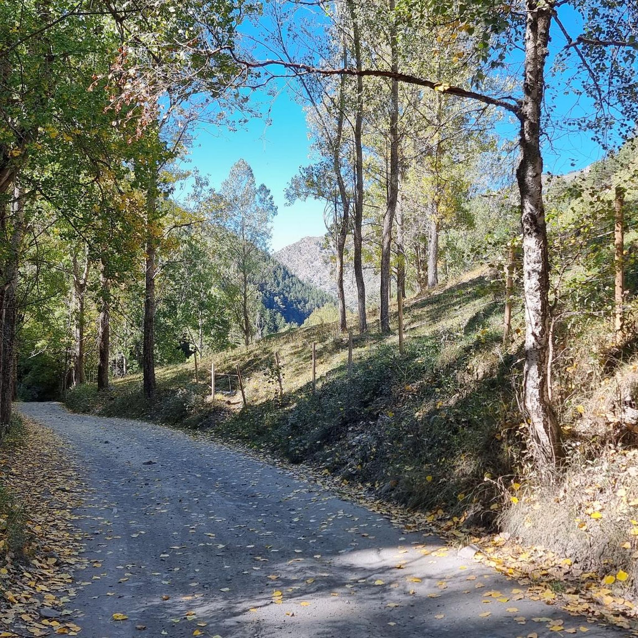
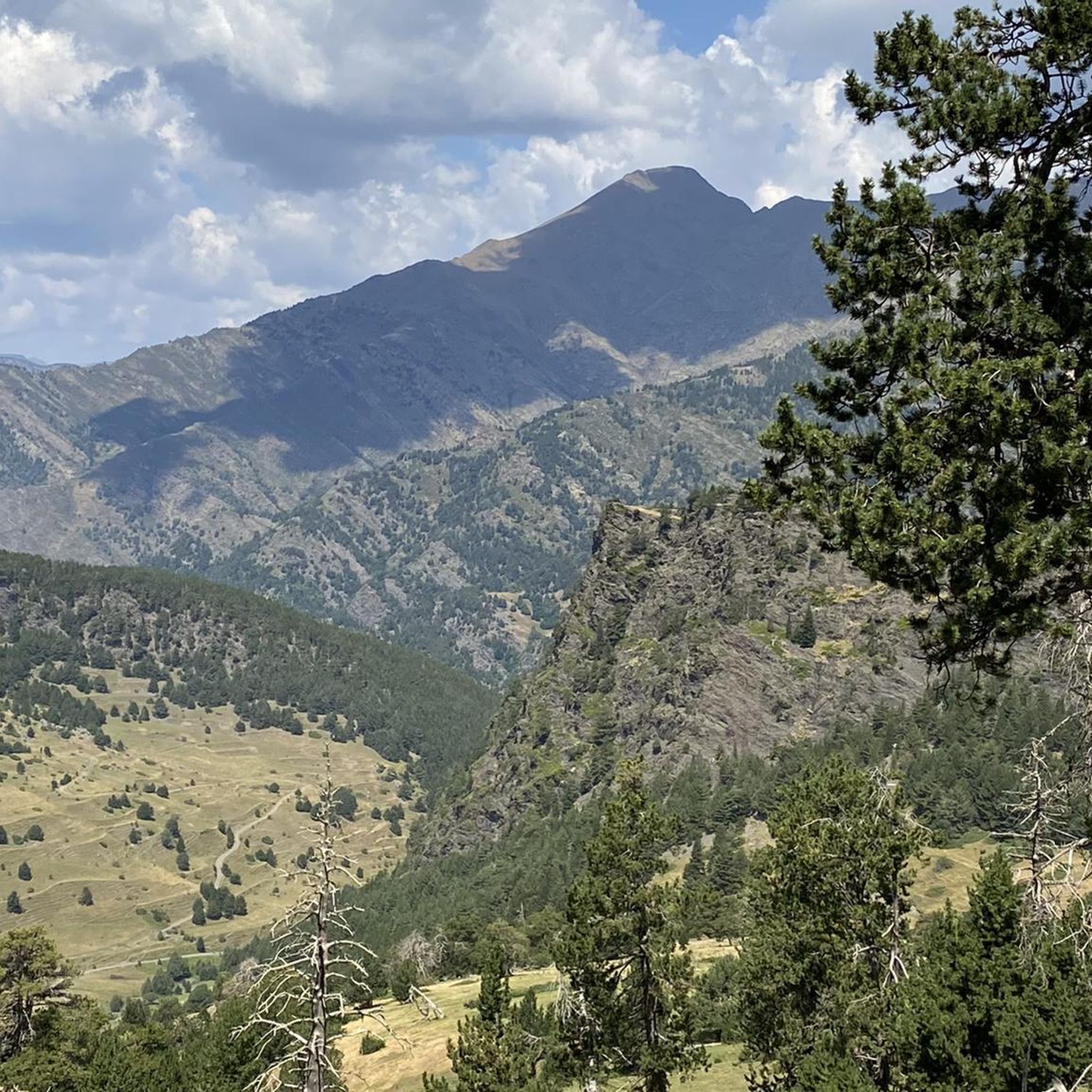
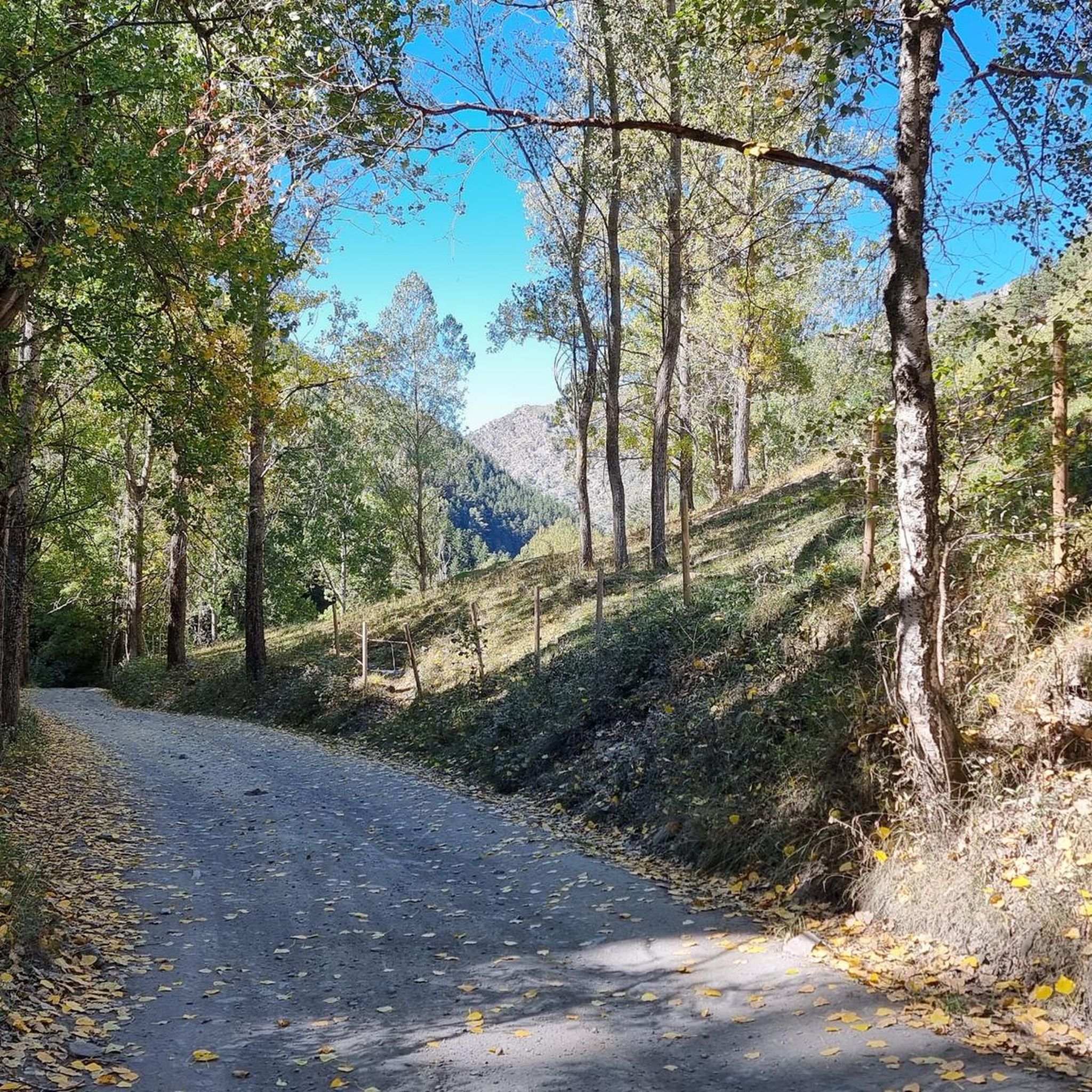
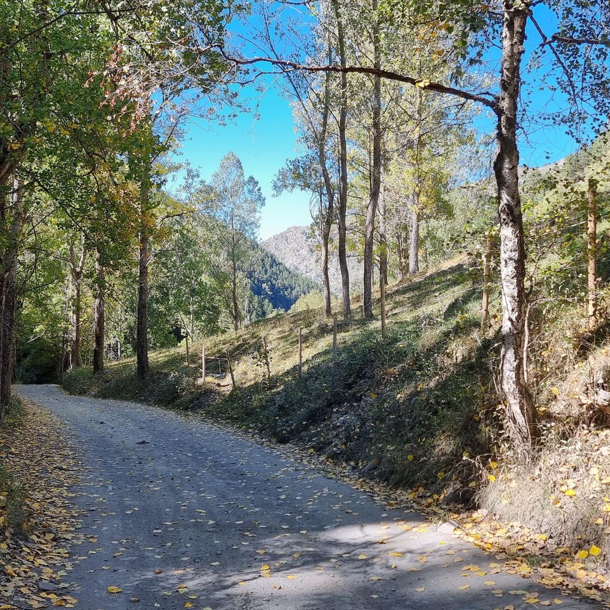




Tips from the Community

Spectacular lake with views of the Pica d'Estats front
0
1
The highest peak in the Catalan Pyrenees is well worth the visit, although you have to earn it as it is a long route with considerable elevation gain to overcome.
0
1

Fantastic panoramic view all around, this summit is worth it, see my two panorama photos. Ascent from Estany de Sotllo via Pass. Took the partly exposed scrambling/climbing ridge via Pic Verdaguer. Nice scrambling, you just have to be careful to stay on the right track. Descent all around the summit, then to the same pass and down along the same beautiful mountain lakes and via Valferrera hut into the valley. The length and roughness of this path really surprised me. Luckily I didn't ascend from the hut. Especially the path along the mountainside, some way above the hut, was challenging. Again and again there are small counter-ascents over rocky tops and at some point I was on a side path below the main path, which then ended in bushes. After a short climb, everything went well again.
1
0
Bergsee directly in front of the Pica d'Estats
0
1
Beautiful mountain lake directly in front of the Pic Verdaguer & the Pica d'Estats
0
0
A nice mountain hut in the forest, the starting point for the Pica d'Estats summit. The trail up is well marked, but quite strenuous, as it follows the mountainside for a long time, gaining little elevation, but crossing those rugged rocky peaks.
1
0

The small secondary peak of the Pica d'Estats. If you've made it to the gap between the two, you should also take this peak. An additional 3000m peak for free (if you don't take the 30m gap height too seriously 😉).
2
0
The summit can be reached from several sides. The direct route from the Spanish side to the summit ridge is demanding (I estimate T5 according to the SAC scale). However, you can "cheat" by first crossing to the north side via the pass, then you have to descend a bit and then you reach the path from the French side. The technically easiest ascent is certainly from the north via the Refuge du Pinet (T3). However, from the car park at L'Artigue, it is a total of around 2000 meters in altitude gain, which is why an overnight stay in the refuge is also a good idea (in October 2024, a winter room was open, €8 per night). I opted for the 3rd variant, from the Étang de Soulcem. From there, it is "only" 1500 meters in altitude gain with a difficulty of T3+/T4-. Although I chose a variant on the ascent (see my tour) that is not on the map and which I would rate as T4+.
3
0
Frequently Asked Questions
How many hiking trails are available in Alins?
Alins offers a diverse network of over 30 hiking trails, catering to various skill levels. You'll find everything from moderate loops to challenging ascents through the Pyrenean landscape.
Are there any easy hiking options suitable for beginners or families in Alins?
While many routes in Alins are geared towards experienced hikers due to significant elevation changes, there are a few easier options available. The region features 3 easy trails and 15 moderate trails, providing choices for those seeking less strenuous walks amidst the stunning scenery.
What kind of landscapes and natural features can I expect to see while hiking in Alins?
Alins is characterized by dramatic Pyrenean peaks, including Catalonia's highest point, Pica d'Estats. You'll traverse diverse ecosystems ranging from dense forests and summer pastures to rocky scree slopes. The Noguera de Vallferrera river carves through valleys, and beautiful mountain lakes, such as Estany d'Estats, add to the scenic beauty.
Are there any circular hiking routes in Alins?
Yes, Alins offers several circular routes. A popular option is From La Salabra to Alins — circular through the Parc Natural de l'Alt Pirineu, a moderate 5.2 miles (8.4 km) trail. Another is the Monteixo and Pic de Norís Loop, which features considerable elevation gain within the Parc Natural de l'Alt Pirineu.
What are some notable natural attractions or landmarks to look out for on the trails?
The region is rich in natural attractions. Hikers can discover stunning mountain lakes like Black Lake of Comapedrosa and Estany de Romedo de Dalt. The area is also home to impressive mountain passes such as Collada de Beixalis and Coll de la Gallina, offering breathtaking views.
Is Alins a good destination for multi-day hikes, and are there mountain huts available?
Yes, Alins is integrated into longer-distance routes like the GR11 and offers demanding multi-day, cross-border loops. The presence of mountain huts, such as Refugi Vallferrera, provides essential resting points and overnight accommodations, allowing hikers to explore deeper into the wilderness.
What do other hikers enjoy most about hiking in Alins?
The hiking routes in Alins are highly rated by the komoot community, with an average score of 4.5 stars from over 100 reviews. Hikers often praise the dramatic Pyrenean landscapes, the challenging ascents to peaks like Pica d'Estats, and the diverse ecosystems encountered along the trails.
Are there any specific permits required for hiking in the protected areas around Alins?
Alins is uniquely positioned at the convergence of three protected natural areas: the Alt Pirineu Natural Park in Spain, the Pyrénées Ariégeoises Regional Natural Park in France, and the Coma Pedrosa Valleys Natural Park in Andorra. While general access is usually permitted, it's always advisable to check with the respective park authorities for any specific regulations or permits required for certain zones or activities, especially during peak seasons or for overnight stays in huts.
What is the best time of year to go hiking in Alins?
The best time to hike in Alins is generally from late spring to early autumn (May to October). During these months, the weather is more stable, and the higher mountain passes are typically free of snow, making challenging ascents more accessible. Winter hiking is possible but requires specialized equipment and experience due to snow and ice conditions.
Are there any dog-friendly trails in Alins?
Many trails in the Alins region are dog-friendly, especially those outside of strictly protected wildlife zones where specific restrictions might apply. It's always recommended to keep dogs on a leash, especially in areas with livestock or wildlife, and to check local regulations for the specific trail or park you plan to visit.
What are the parking options for hikers in Alins?
Parking is generally available at trailheads or near villages in the Alins area. For popular routes, designated parking areas are often provided. It's advisable to arrive early during peak season to secure a spot, especially for trails leading to major peaks or natural attractions.
Can I reach hiking trailheads in Alins using public transport?
While Alins is a more remote Pyrenean destination, some public transport options might connect to larger towns in the region. However, direct public transport to many specific trailheads can be limited. It's often recommended to have a car for greater flexibility in accessing the diverse hiking network.
Most popular attractions around Alins

Get inspired with the komoot mobile app


Explore more
Browse the best Hikes in other regions.
