The best mountain hikes around Vilallonga De Ter
4.9
(8)
178
hikers
24
hikes
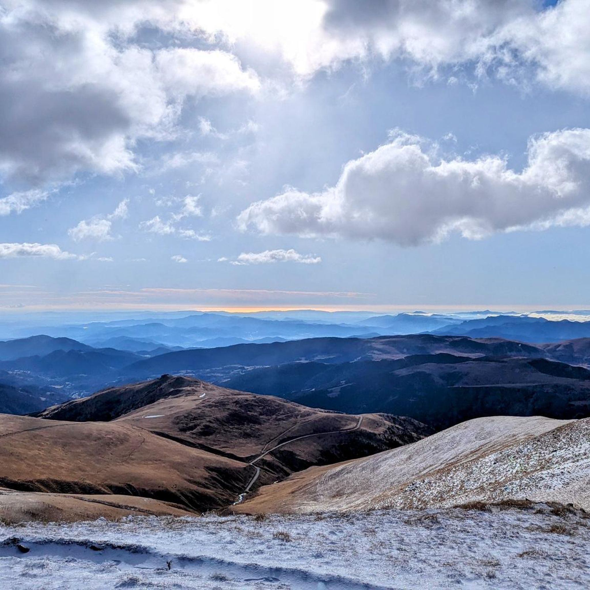
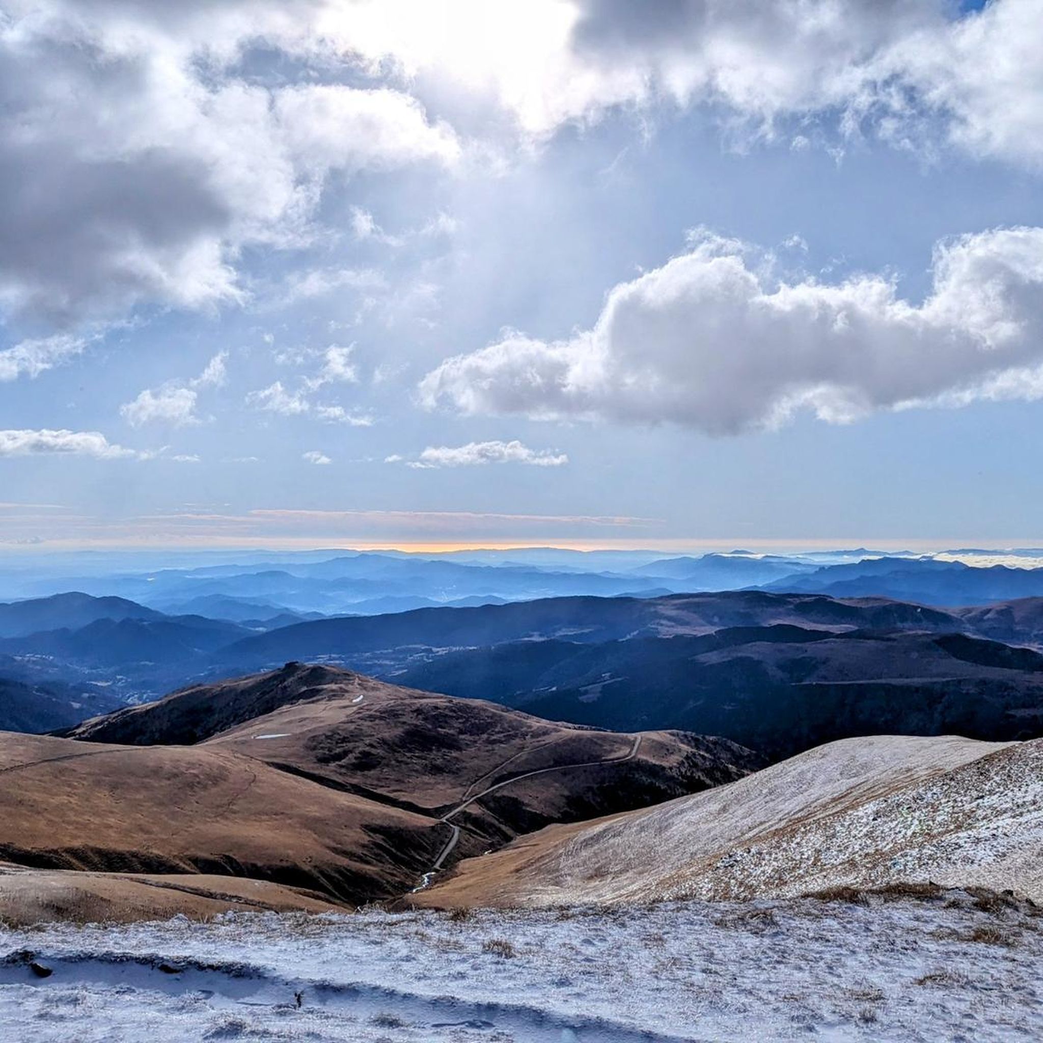
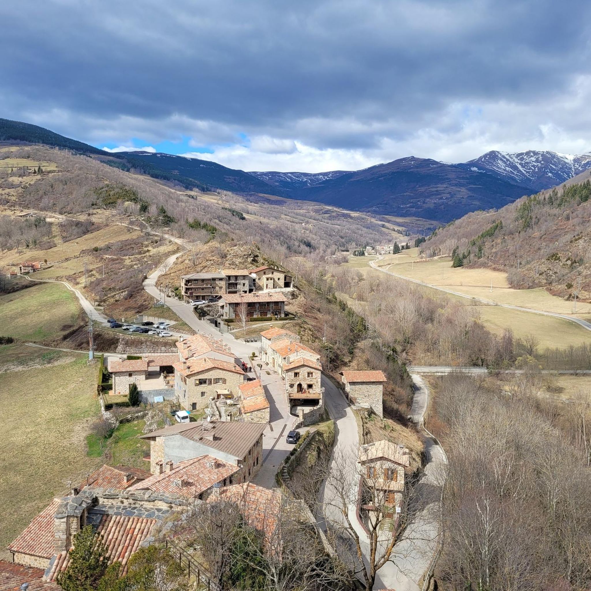
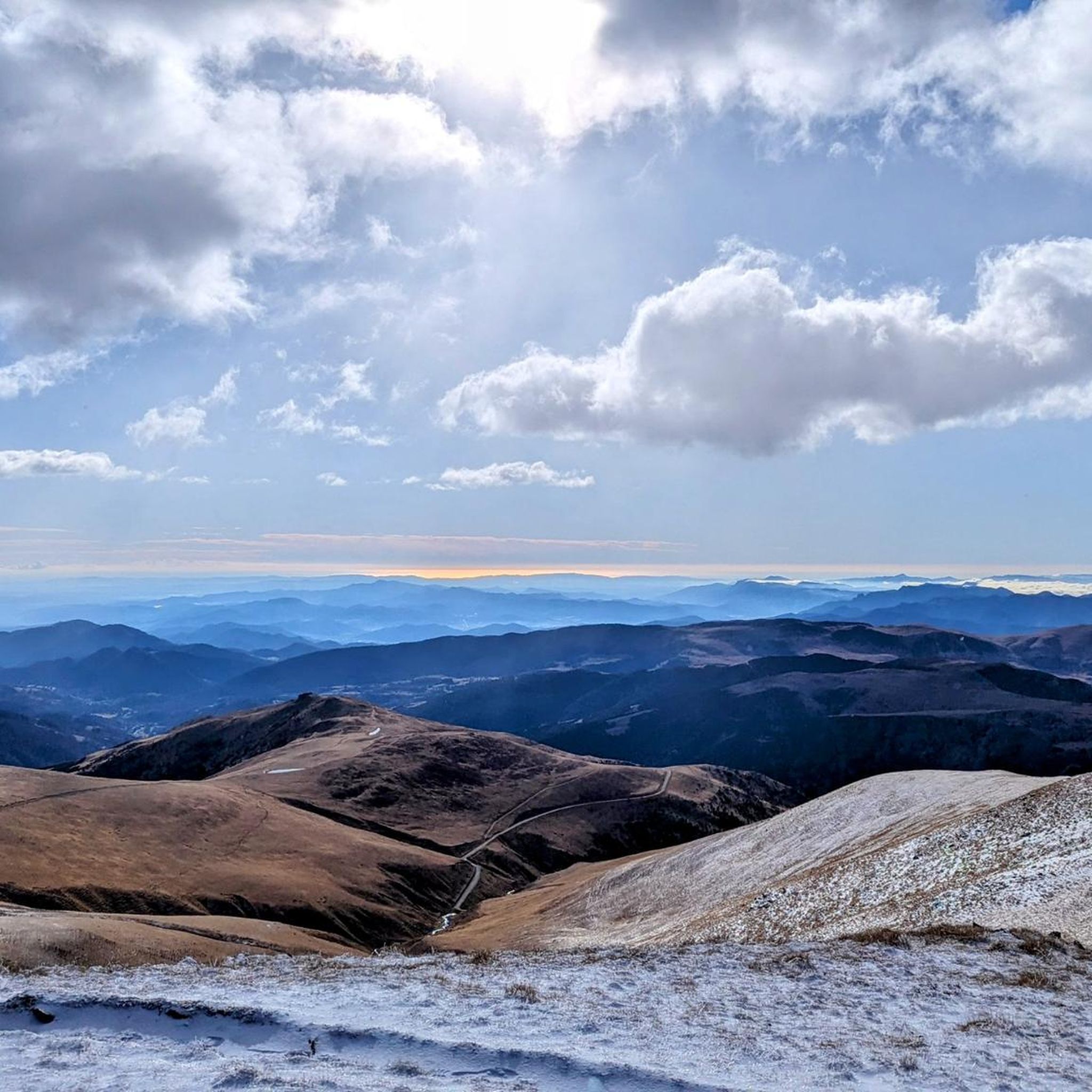
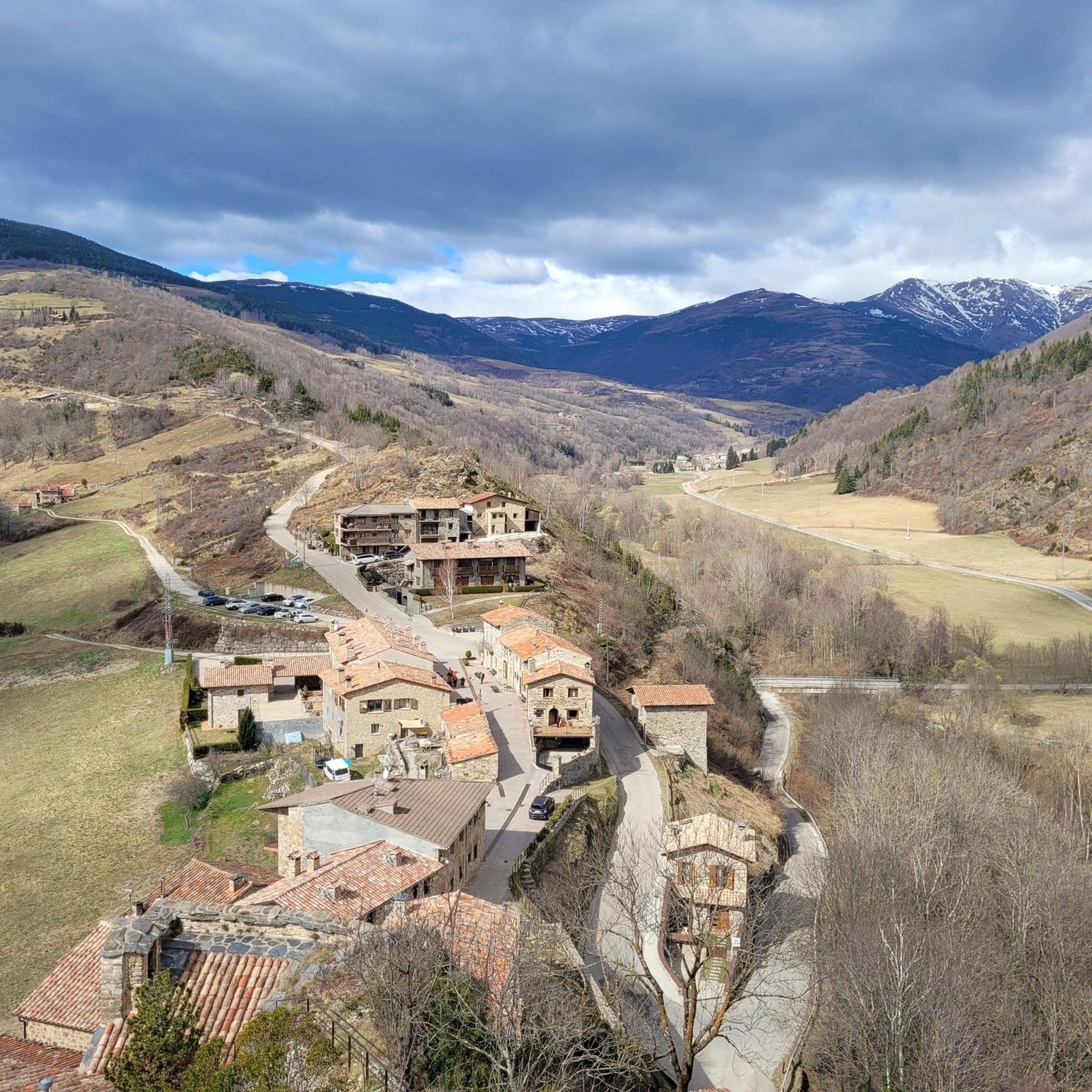
Mountaineering around Vilallonga De Ter is defined by the rugged landscapes of the Eastern Pyrenees, featuring prominent peaks such as Puigmal d'Er and Pic de Bastiments. The region encompasses the picturesque Vall de Núria and the protected Capçaleres del Ter i del Freser Natural Park. Its diverse topography includes deciduous forests, expansive mountain meadows, and various natural monuments, providing a rich setting for exploration.
Best mountaineering routes around Vilallonga De Ter
- The most popular mountaineering route is Pic de Bastiments…
Last updated: July 1, 2026
24
hikers
8.65km
04:52
840m
840m
Moderate mountaineering route. Good fitness required. Mostly accessible paths. Sure-footedness required.
5.0
(1)
13
hikers
14.2km
06:59
1,140m
1,140m
Hard mountaineering route. Very good fitness required. Sure-footedness, sturdy shoes and alpine experience required.

Sign up for free
5.0
(1)
14
hikers
Hard mountaineering route. Very good fitness required. Mostly accessible paths. Sure-footedness required.
5.0
(1)
12
hikers
Moderate mountaineering route. Good fitness required. Mostly accessible paths. Sure-footedness required.
8
hikers
17.7km
08:04
1,140m
1,140m
Hard mountaineering route. Very good fitness required. Sure-footedness, sturdy shoes and alpine experience required.
Get access to more routes and recommendations from other explorers.
Sign up for free
Already have an account?
Our route recommendations are based on thousands of hikes, rides, and runs completed by other people on komoot.
Start today with a free account
Your next adventure awaits.
Login or Signup

Tips from the Community

The ski resort, located on the main ridge of the Pyrenees in Ripollès on the border with France, is also one of the highest mountain passes that you can reach by bike on an asphalted road. The ski resort has been the finish line for the Volta a Catalunya several times, most recently in 2019.
1
0

At 2,881 m, it is the highest peak on the ridge, reaching Puigmal. It invites you to a longer ridge crossing.
2
0
A panoramic summit slightly off the main ridge. Those who descend into the Caranca Gorge after crossing the Pic de l'Infern - Bastiments ridge can add to their 2800m collection on easy trails.
0
0
East side of the summit ridge of the Bastiment with summit cross. A long ridge crossing is possible via this point.
2
0

Very busy peak. You can continue along the ridge in a westerly direction to the Pic de l'Infern
0
0

El Salto del Grill is one of the most spectacular waterfalls in Catalonia. To see it in all its splendor, it is best to avoid summer.
2
0
The Coma de Vaca refuge is located at 2000 meters above sea level, on the Yeguas plain, where the Freser and de la Vaca rivers converge. It has 52 beds, hot showers, Wi-Fi and a bar with home cooking.
3
0

I emphasize Francesc García Montfranc's comment, these Natural places must be preserved from the masses. The dissemination on social networks outside of those used by hikers... is a mistake, since people come en masse and do not respect anything or anyone...!!
1
0
Frequently Asked Questions
What types of mountaineering routes can I find in Vilallonga De Ter?
Vilallonga De Ter, nestled in the Eastern Pyrenees, offers a diverse range of mountaineering routes. You'll find everything from moderate ascents to challenging high-altitude trails. The region is known for its rugged landscapes, prominent peaks like Puigmal d'Er, and the scenic Vall de Núria, providing varied terrain for exploration.
Are there any easier mountaineering routes suitable for those with less experience?
While many routes in Vilallonga De Ter are considered difficult, there are also several moderate options available. For example, the El Balandrau – Coll dels Tres Pics loop from Collet de la Gralla is a moderate 6.3-mile (10.2 km) trail that takes you through high mountain terrain. Another moderate choice is the Coll de la Marrana – Gra de Fajol Summit loop from Vallter 2000, which offers a rewarding ascent.
What are some of the more challenging mountaineering routes for experienced climbers?
For experienced mountaineers seeking a challenge, Vilallonga De Ter offers several demanding routes. The Pic de Bastiments – Coll de la Marrana loop from Vallter 2000 is a difficult 7.3-mile (11.7 km) trail known for its high-altitude Pyrenean views. Another rigorous option is the Salt del Grill – Coma de Vaca Refuge loop from Queralbs, a difficult 11-mile (17.7 km) route with significant elevation gain.
When is the best time of year for mountaineering in Vilallonga De Ter?
The best time for mountaineering in Vilallonga De Ter generally depends on the specific route and your experience. The region is part of the Eastern Pyrenees, and ascents like Puigmal d'Er are considered straightforward under good weather conditions. Summer and early autumn typically offer the most stable weather for high-altitude routes, while spring can be beautiful but may still have snow at higher elevations. Always check local weather forecasts before heading out.
Are there any circular mountaineering routes in the area?
Yes, Vilallonga De Ter features several excellent circular mountaineering routes. Popular options include the Coll de la Marrana – Pic de Bastiments loop from Vallter 2000, which ascends to significant peaks with expansive vistas. Another great circular trail is the El Balandrau – Coll dels Tres Pics loop from Collet de la Gralla, offering a rewarding high mountain experience.
What natural attractions or landmarks can I see along the mountaineering routes?
The mountaineering routes in Vilallonga De Ter are rich with natural beauty and notable landmarks. You can encounter majestic peaks like Puigmal d'Er Summit and Bastiments Peak. The picturesque Vall de Núria is a significant attraction, and you might even spot the Vall de Núria Rack Railway. The region also boasts diverse topography, including deciduous forests, mountain meadows, and the protected Capçaleres del Ter i del Freser Natural Park.
What do other mountaineers enjoy most about the routes in Vilallonga De Ter?
The mountaineering routes in Vilallonga De Ter are highly rated by the komoot community, with an average score of 4.9 stars from over 10 reviews. Reviewers often praise the stunning high-altitude Pyrenean views, the diverse natural landscapes, and the challenging yet rewarding ascents. Over 200 mountaineers have used komoot to explore the varied terrain, highlighting its popularity and appeal.
Are there any specific peaks or summits that are popular mountaineering objectives?
Absolutely. The region is dominated by the Eastern Pyrenees, offering numerous peaks. Puigmal d'Er Summit (nearly 2,910 m) is a highly popular objective, known for its panoramic views. Other prominent peaks include Bastiments Peak (2,881 m) and Costabona Summit (2,480 m), which offers views of Canigó.
Can I access the mountaineering routes using public transport?
While many routes start from locations like Vallter 2000, the Vall de Núria Rack Railway provides a unique and scenic public transport option to reach the Vall de Núria, which serves as a common access point for the ascent of Puigmal. For other trailheads, checking local bus services or arranging private transport would be advisable.
Where can I find parking for mountaineering routes in Vilallonga De Ter?
Many popular mountaineering routes, such as those leading to Pic de Bastiments or Gra de Fajol Summit, often start from areas like Vallter 2000, where parking facilities are typically available. For routes originating from other villages or trailheads, it's recommended to check specific route descriptions on komoot for details on designated parking areas or nearby village parking options.
Are there any waterfalls or unique geological formations to see?
Yes, the natural environment around Vilallonga De Ter features beautiful waterfalls and unique geological formations. The region's diverse topography includes natural monuments like Penya Foradà, which presents stunning views and interesting geological features. The Capçaleres del Ter i del Freser Natural Park also protects the headwaters of the Ter and Freser rivers, where you can often find picturesque cascades.
How many mountaineering routes are available in Vilallonga De Ter?
There are over 25 mountaineering routes available around Vilallonga De Ter, offering a wide variety of experiences for different skill levels. These include 8 moderate routes and 20 difficult routes, ensuring there's something for every mountaineer.
Most popular routes around Vilallonga De Ter
Most popular attractions around Vilallonga De Ter

Get inspired with the komoot mobile app


Explore more
Browse the best Mountain Hikes & Routes in other regions.
