The best walks and hikes around Maçanet De Cabrenys
4.5
(219)
832
hikers
33
hikes
Hiking around Maçanet De Cabrenys offers diverse natural landscapes at the foot of the Eastern Pyrenees. The region features the Les Salines massif and Roc Frausa, with peaks reaching over 1400 meters. Extensive forests, river valleys, and numerous natural pools, including those along the Arnera River, characterize the terrain. This area provides a comprehensive network of trails for various hiking experiences.
Best hiking trails around Maçanet De Cabrenys
- The most popular hiking route is Puig de la Gavarra and the Hermitages Route, a 9.5 miles (15.2 km) trail that takes 4 hours 55 minutes to complete. This moderate route combines mountain scenery with historical points of interest.
- Another top favourite among local hikers is Maçanet de Cabrenys – Gorga de les Dones loop from Maçanet de Cabrenys, a moderate 6.0 miles (9.6 km) path. This trail loops around the Gorga de les Dones, a well-known natural swimming spot.
- Local hikers also love the Maçanet de Cabrenys – Gorga de les Dones loop from Arnera, a 9.6 miles (15.5 km) trail leading through the Arnera River valley, often completed in about 4 hours 29 minutes.
- Hiking around Maçanet De Cabrenys is defined by Pyrenees foothills, extensive forests, and river gorges with natural pools. The network offers options for different ability levels.
- The routes in Maçanet De Cabrenys are highly rated by the komoot community with an average score of 4.5 stars from over 180 reviews. More than 800 hikers have used komoot to explore Maçanet De Cabrenys's varied terrain.
Last updated: July 7, 2026
5.0
(1)
6
hikers
15.2km
04:56
640m
640m
Hike the moderate 9.5-mile Puig de la Gavarra and Hermitages Route, exploring mountain views and ancient chapels in Alta Garrotxa.
3.9
(13)
36
hikers
10.5km
03:06
300m
300m
Moderate hike. Good fitness required. Easily-accessible paths. Suitable for all skill levels.

Sign up for free
4.5
(13)
37
hikers
15.5km
04:29
410m
410m
Moderate hike. Good fitness required. Easily-accessible paths. Suitable for all skill levels.
5.0
(2)
20
hikers
Moderate hike. Good fitness required. Mostly accessible paths. Sure-footedness required.
4.6
(14)
32
hikers
7.96km
02:19
220m
220m
Moderate hike. Good fitness required. Easily-accessible paths. Suitable for all skill levels.
Get access to more routes and recommendations from other explorers.
Sign up for free
Already have an account?
Our route recommendations are based on thousands of hikes, rides, and runs completed by other people on komoot.
Start today with a free account
Your next adventure awaits.
Login or Signup
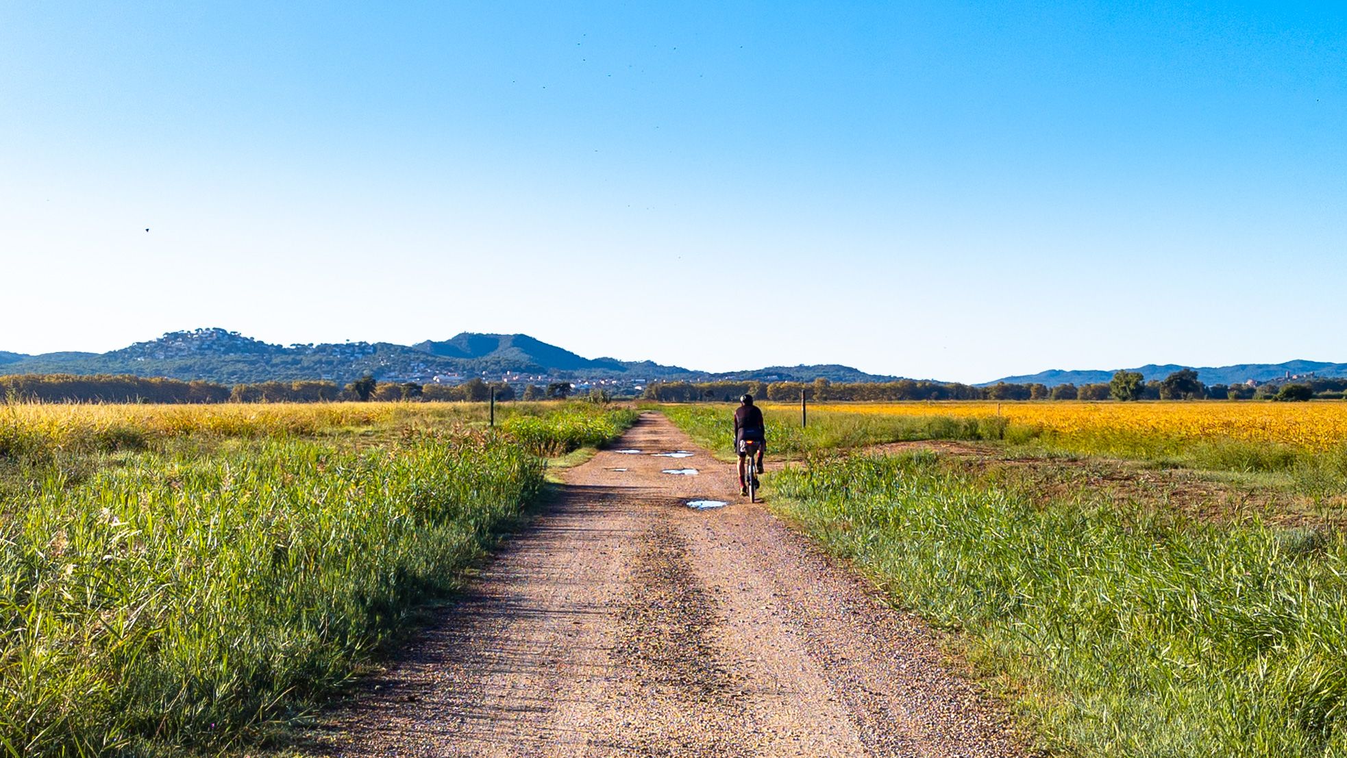
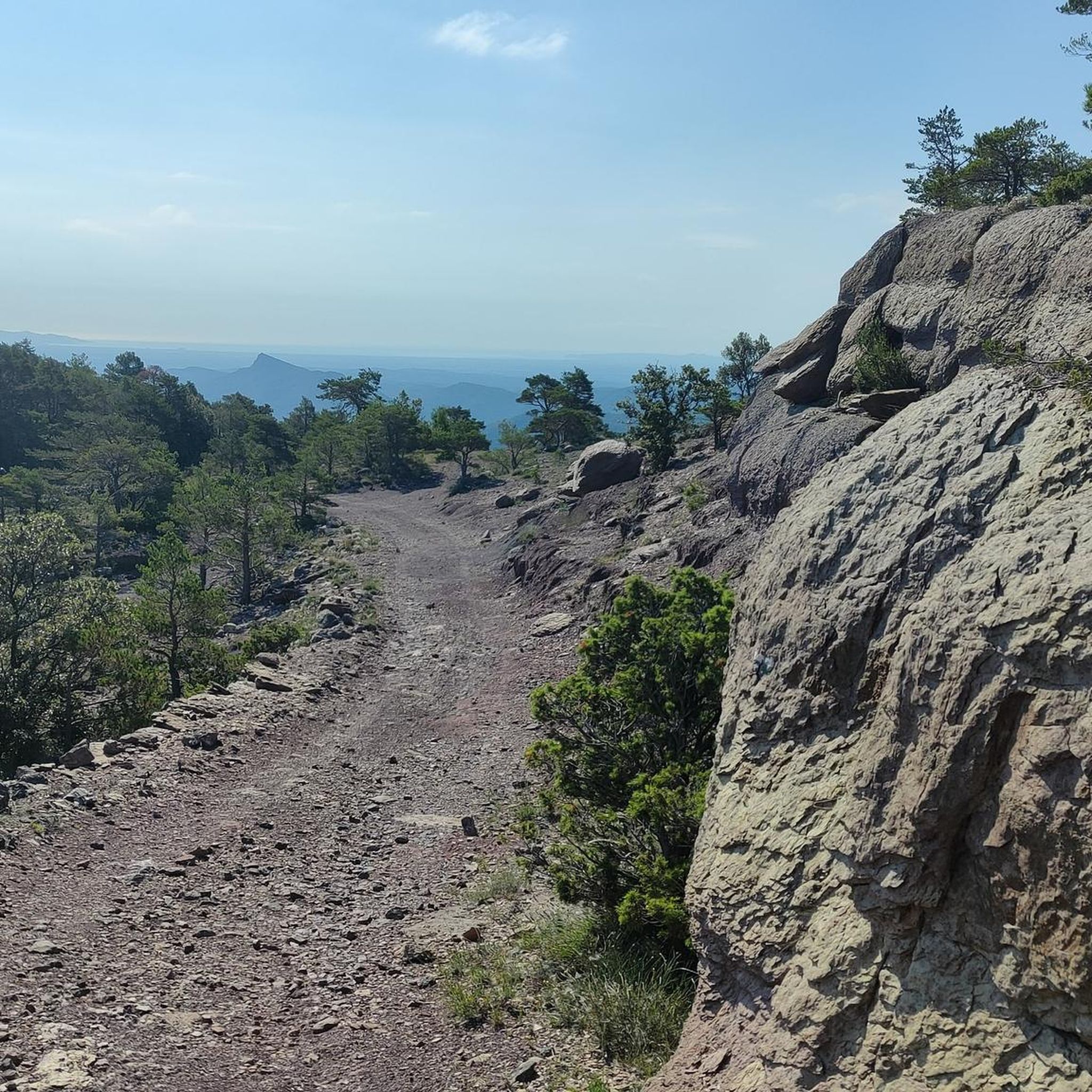
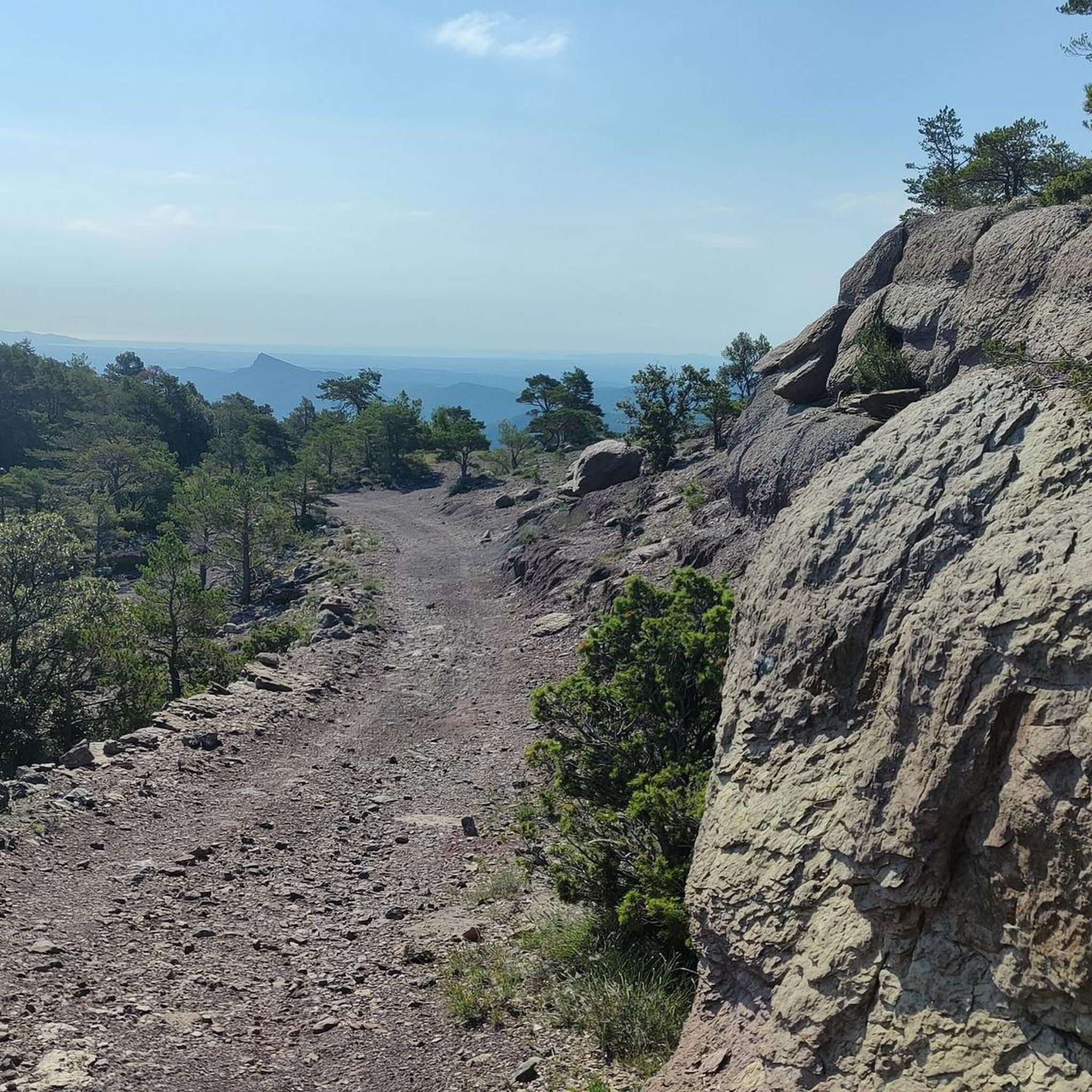

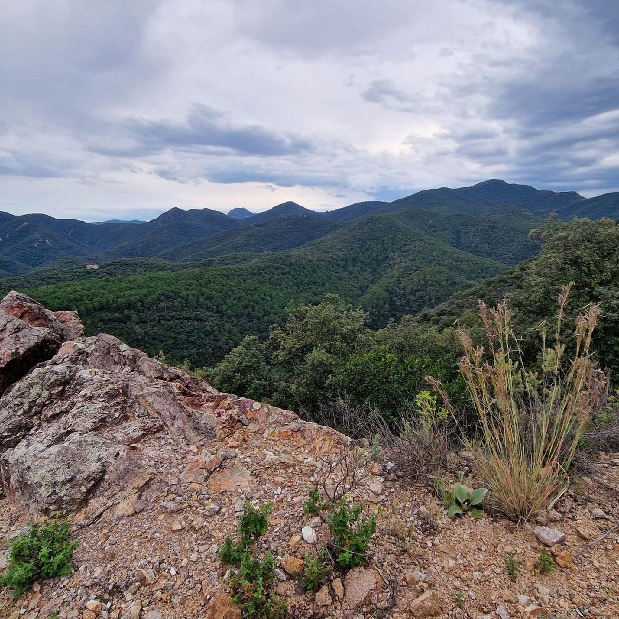
Other adventures around Maçanet De Cabrenys

Tips from the Community

Small fountain 15 meters from the track and the river.
0
0

Sant Cristòfol dels Horts is a church in the municipality of Els Horts, in the municipality of Albanyà, included in the Inventory of Architectural Heritage of Catalonia. It has been partially restored by the GAT of La Jonquera in recent times. The church of Sant Cristòfol dels Horts is very ruined. It consists of a single nave topped to the east by a semicircular apse. It presents construction elements from different periods. The western half, which seems to be the oldest, is the most damaged and has suffered various interventions. The rest of the nave preserves the vault, while the apse has a ruined roof and also part of the walls. The side walls are reinforced by buttresses on a slope. The differences in the construction system highlight the different periods in which the walls were built. In the western sector of the nave it presents a system of small ashlars of travertine limestone that corresponds to a late reconstruction. Little of the southern side wall has been preserved. The north wall has been well preserved and is covered by a slightly pointed vault. The structure is made of small ashlars and broken limestone slabs and could date from the 11th century. The rest of the church, the eastern section of the nave and the apse, was built with large, well-squared ashlars arranged in uniform rows, at an angle. This construction is typical of the late Romanesque period, 12th or 13th centuries. The apse opened onto the nave by a simple pointed arch and had an almond-shaped vault, which has not been preserved. On the southern wall there is a double-slanted semicircular arch window. At the bottom of the apse there were two that have disappeared. Sant Cristòfol dels Horts is the church of a scattered village of farmhouses, currently abandoned, located at the northern end of the municipality of Albanyà. The place of Horts is mentioned in the royal precept, favorable to Santa Maria d'Arles, of the year 878, in relation to some lands that were to belong to Sant Pere d'Albanyà. The parish does not appear mentioned until the year 954. The parish of Sant Cristòfol dels Horts depended, in the post-medieval period, on the churches of Fontfreda, Carbonils, els Vilars, Oliveda and the Sanctuary of Santa Maria del Fau. Source: https://ca.m.wikipedia.org/wiki/Sant_Crist%C3%B2fol_dels_Horts
0
0

This pass was important as a passage between regions, especially in activities such as transhumance or the transport of goods. The snow wells that give the place its name were also key elements in the economy of the mountainous areas. The term "Pou de la Neu" refers to the snow or ice wells that were traditionally used to store snow during the winter. These structures, dug into the ground or built with stones, served to preserve ice that was later transported to the lower areas for use in food, medicine or food preservation.
1
0

If you want to save two kilometers, you can take the road. There is a nice hiking trail from the turnoff to the campsite to the bridge.
0
0
Hotel La Central is an old hydroelectric power station restored and converted into a charming hotel, dedicated to wellness tourism. It is located in the middle of nature between the Maçanet de Cabrenys mountains and the Darnius-Boadella marsh, with the Arnera river at its feet. The Hotel has 20 rooms, spa area with hydromassage pool, sauna, steam bath and floatarium. Gastronomic restaurant located in the old engine room, based on creative and local cuisine accompanied by a wine list that pays special attention to the D.O Empordà. La Central offers a wide range of treatments and massages, experiential and emotional growth workshops, forest baths, qi gong, yoga... all aimed at the well-being of customers. From the hotel, you can go on a variety of excursions on foot or by bike through the beautiful natural areas that surround it. Due to its privileged location and its constant innovation, Hotel Spa La Central is a benchmark for Nature and Wellness tourism both in Catalonia and in Occitanie. We are open from April 1 to October 31, from Thursday to Sunday. In August we are open every day of the week. ://www.youtube.com/watch?v=-BTvnVRBffY https://www.hotelspalacentral.com/ca/hotel-rural-amb-encant-alt-emporda-catalunya
2
0

This hiking pass is a real hub of hiking trails that go to both France and Spain. The views there are magnificent.
3
1
This summit follows the ridge line which forms the Franco-Spanish border. To get there, you cross the imaginary line that separates the two countries and you leave the GR 10 for a few hundred meters. It is characterized by impressive rock formations.
1
0
This rocky promontory, also called Roc de France, is part of a series of “rocks” which crown the Salines massif. Together they form part of the Franco-Spanish border.
0
0
Frequently Asked Questions
How many hiking trails are available around Maçanet de Cabrenys?
Maçanet de Cabrenys offers a comprehensive network of over 30 hiking trails. These routes cater to various skill levels, from easy walks to more challenging mountain ascents, ensuring there's something for every hiker.
Are there any easy hiking trails suitable for beginners or families in Maçanet de Cabrenys?
Yes, Maçanet de Cabrenys has several easy trails perfect for beginners or families. These routes often lead through shaded forests and along river valleys. For example, the area around the Arnera River and its natural pools offers gentle paths. There are 5 easy routes available, with many more moderate options that can be adapted.
Can I find circular hiking routes in Maçanet de Cabrenys?
Absolutely. Many of the trails in Maçanet de Cabrenys are designed as circular routes, allowing you to start and end in the same location. A popular option is the Maçanet de Cabrenys – Gorga de les Dones loop from Maçanet de Cabrenys, which takes you to a well-known natural swimming spot.
What kind of natural features can I expect to see on hikes in Maçanet de Cabrenys?
Hiking in Maçanet de Cabrenys means exploring diverse natural landscapes. You'll encounter extensive forests, river valleys, and numerous natural pools, especially along the Arnera River. The region is also characterized by the majestic Les Salines massif and Roc Frausa, with peaks offering impressive panoramic views.
Are there any waterfalls or natural swimming spots along the hiking trails?
Yes, the region is famous for its water features. The Arnera River carves out over twenty gorges and natural pools as it descends from the mountains. The most renowned is the Gorga de les Dones, a popular natural swimming spot. You can explore this area on routes like the Scenic Forest Trail – Gorga de les Dones loop from Maçanet de Cabrenys.
What historical or cultural landmarks can I discover while hiking in the area?
Beyond natural beauty, Maçanet de Cabrenys offers rich historical insights. You can explore the picturesque town center, the Romanesque Church of Santa María, and the ruins of a medieval castle. Trails like the Puig de la Gavarra and the Hermitages Route combine mountain scenery with ancient chapels, while the Puig de les Salines – Pou de la Neu Pass loop offers insights into traditional snow wells.
What do other hikers enjoy most about the trails in Maçanet de Cabrenys?
The trails in Maçanet de Cabrenys are highly rated by the komoot community, with an average score of 4.5 stars from over 180 reviews. Hikers often praise the diverse terrain, from challenging mountain ascents to serene river valleys, and the abundance of natural pools and historical points of interest.
What is the best time of year to go hiking in Maçanet de Cabrenys?
Maçanet de Cabrenys offers hiking opportunities throughout much of the year. Spring and autumn generally provide the most pleasant temperatures for hiking, with lush landscapes in spring and vibrant colors in autumn. Summer is ideal for enjoying the natural swimming spots, though some mountain routes might be more challenging due to heat. Winter can offer unique, quieter experiences, especially on lower-elevation trails.
Are there any specific peaks or viewpoints worth hiking to in Maçanet de Cabrenys?
Yes, the region is surrounded by impressive peaks offering breathtaking vistas. Notable summits include Roc de Frausa (1421m), Roc del Comptador (1445m), and Puig de les Salines (1331m). Many trails lead to these higher elevations, such as the Puig de les Salines – Pou de la Neu Pass loop, which provides excellent mountain views.
Is public transport available to reach hiking trailheads in Maçanet de Cabrenys?
While Maçanet de Cabrenys is accessible, public transport options directly to specific trailheads can be limited, as is common in more rural mountain areas. It's advisable to check local bus schedules to Maçanet de Cabrenys town, and then plan your hikes from there, or consider driving for more direct access to various starting points.
Are there parking facilities available near the hiking trails?
Yes, for many popular trailheads, especially those starting from Maçanet de Cabrenys town or other accessible points like Arnera, you will typically find designated parking areas. It's always a good idea to check specific route details or local signage for the most convenient parking options.
Most popular routes around Maçanet De Cabrenys
Most popular attractions around Maçanet De Cabrenys

Get inspired with the komoot mobile app


Explore more
Browse the best Hikes in other regions.
