The best road cycling routes around Moclinejo
4.7
(133)
5,969
riders
42
rides
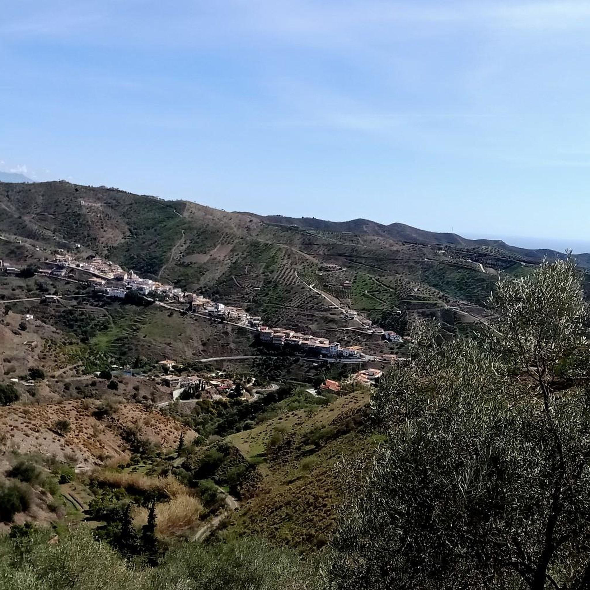
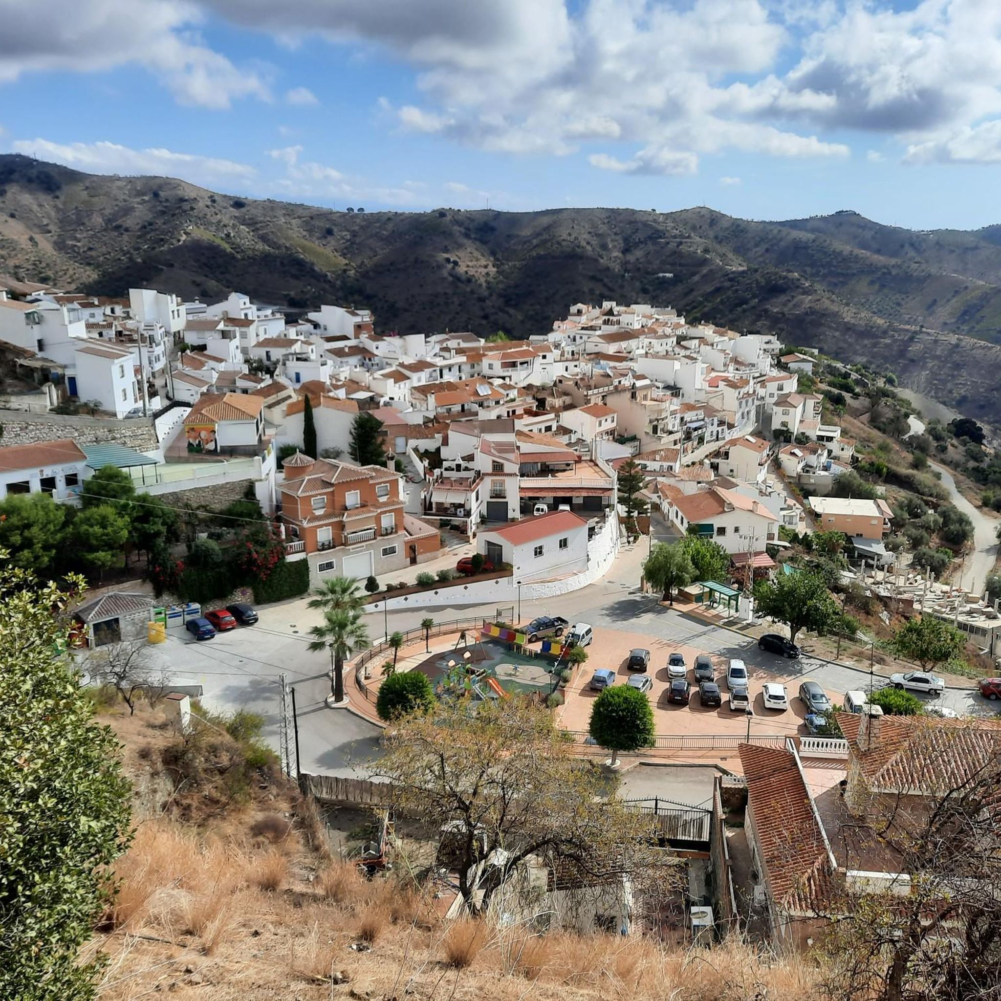
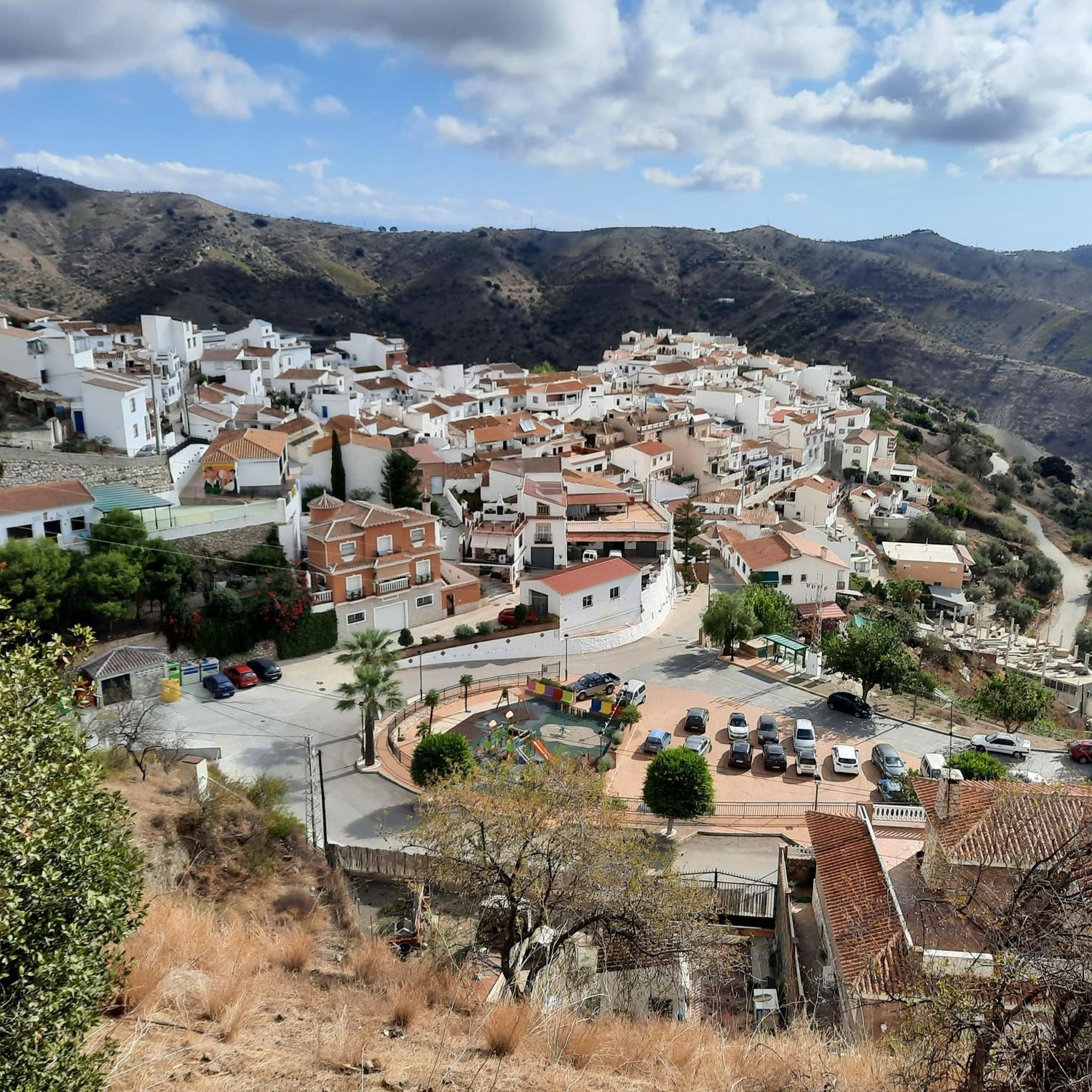
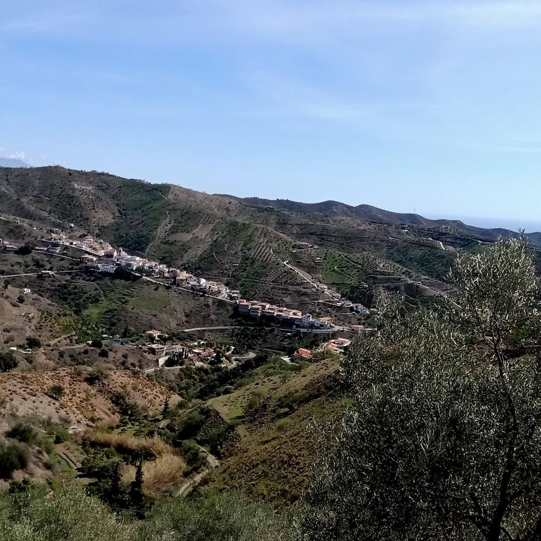
Road cycling routes around Moclinejo are characterized by hilly terrain and varied elevation changes, situated in the Axarquía region of Málaga. The landscape features rolling hills, the Benagalbón river valley, and the foothills of the Piedras Blancas hill. Cyclists navigate through a picturesque tapestry of vineyards, olive groves, and almond orchards, with some routes forming part of the historic Ruta de la Pasa. This region offers challenging climbs and scenic backdrops for road cycling.
Best road cycling routes around Moclinejo
…Last updated: August 21, 2026
4.7
(19)
243
riders
51.9km
02:51
1,040m
1,040m
Hard road ride. Very good fitness required. Mostly well-paved surfaces and easy to ride.
5.0
(3)
208
riders
Hard road ride. Very good fitness required. Mostly well-paved surfaces and easy to ride.

Sign up for free
151
riders
99.4km
05:05
1,560m
1,560m
Hard road ride. Very good fitness required. Mostly well-paved surfaces and easy to ride.
4.5
(11)
437
riders
Easy road ride. Great for any fitness level. Mostly well-paved surfaces and easy to ride.
5.0
(2)
119
riders
46.8km
02:43
1,120m
1,120m
Hard road ride. Very good fitness required. Mostly well-paved surfaces and easy to ride.
Get access to more routes and recommendations from other explorers.
Sign up for free
Already have an account?
Our route recommendations are based on thousands of hikes, rides, and runs completed by other people on komoot.
Start today with a free account
Your next adventure awaits.
Login or Signup
Tips from the Community

Great landscape, many meters of altitude.
0
0

A fountain located right on the road, within the village at the exit towards Puerto de la Bolina. An excellent spot to refill your water bottle before continuing the climb.
0
0
A point, a crossroads, with good views.
0
0

The Casa Fuerte Bezmiliana is an 18th-century fortress located in Rincón de la Victoria, Málaga. It was built in 1766 by order of King Charles III to defend the coast from attacks by British and Dutch pirates. Its military design includes a square floor plan, masonry walls, two diagonal turrets, and a moat. After its restoration in 1992, the building was transformed into a cultural center hosting exhibitions and artistic activities.
0
0
A crossroads with good views, a landmark
0
0

The Torre Vigía Manganeta is a historic watchtower on the coast of Almayate Bajo, near the mouth of the Vélez River. It was built in the 16th century during the reign of Philip II as part of the Spanish coastal defense system to protect the region from pirate attacks. Raids by North African corsairs, in particular, made such watchtowers necessary. The cylindrical tower reaches a height of approximately 8 to 10 meters and has a diameter of around 4 meters. It is made of stone and mortar, a typical construction method for coastal watchtowers of that period. Its location near the beach, south of Almayate Bajo and not far from the Vélez River, allowed control of the stretch of coast between Torre del Mar and Benajarafe. Today, the Torre Manganeta is protected as a historical monument and is part of the cultural heritage of Andalusia.
7
0

The 9.6-meter-high old lighthouse, built in 1929, and the new, approximately 24.7-meter-high lighthouse, built in 1974, are still in operation. It is located directly on the promenade and is visible from afar. Its automatic signal has a range of approximately 13 nautical miles. Inside, 106 steps of an iron staircase lead up to the top. The small, 9-meter-high lighthouse, which stands next to the new "large" one, was built in 1969 but did not meet modern requirements.
4
0
The tower is located on the right bank of the Vélez River estuary and dates back to the 16th century. Due to sedimentary deposits over the centuries, the shoreline is now 800 m high and partially submerged by 8 m. It is built of masonry and brick.
3
0
Frequently Asked Questions
What is the typical terrain like for road cycling around Moclinejo?
Road cycling around Moclinejo is characterized by hilly terrain and varied elevation changes, offering rewarding climbs with panoramic views. You'll cycle through picturesque landscapes of vineyards, olive groves, and almond orchards, often with views towards the Benagalbón river valley, the sea, and the Montes de Málaga Natural Park.
How many road cycling routes are available in the Moclinejo area?
There are over 35 road cycling routes around Moclinejo, catering to various skill levels. This includes 6 easy routes, 17 moderate routes, and 15 difficult routes, ensuring options for every cyclist.
Are there road cycling routes suitable for beginners in Moclinejo?
Yes, Moclinejo offers several road cycling routes suitable for beginners. While the region is known for its hilly terrain, there are 6 routes classified as easy, providing a gentler introduction to the area's beautiful landscapes.
Where can I find challenging road cycling routes with significant climbs?
For experienced cyclists seeking a challenge, Moclinejo has 15 difficult road cycling routes with significant elevation gains. One such route is the View of Olías Village – Bolina Pass loop from Rincón de la Victoria, which features over 1,100 meters of ascent over 46.1 km.
What scenic views can I expect on road cycling routes near Moclinejo?
Road cycling routes around Moclinejo offer breathtaking panoramic views into the Axarquía region, the Benagalbón river valley, and the sea. You'll pass through charming vineyards, olive groves, and almond orchards, with some routes providing vistas towards the Montes de Málaga Natural Park. The area is also known as the 'Gateway to the Ruta de la Pasa', offering unique cultural scenery.
Are there any interesting landmarks or attractions to see along the road cycling routes?
Yes, several routes pass by or near notable landmarks. For instance, you might encounter the Bolina Pass, which offers stunning views. Other attractions in the wider area include the Tunnels of the Coastal Greenway and the Queen's Fountain.
Are there circular road cycling routes available in Moclinejo?
Yes, many road cycling routes around Moclinejo are circular, allowing you to start and end in the same location. An example is the Climb to Olías with panoramic views of Montes de Málaga – circular from Torre del Mar, offering a rewarding loop experience.
What is the best time of year for road cycling in Moclinejo?
The Axarquía region, where Moclinejo is located, generally enjoys a mild climate, making road cycling enjoyable for much of the year. Spring and autumn are particularly ideal, offering pleasant temperatures and lush landscapes. Summers can be hot, so early morning or late afternoon rides are recommended during those months.
Are there places to stop for refreshments along the routes?
Many road cycling routes in the Moclinejo area pass through or near charming white villages. These villages often have local cafes, restaurants, and traditional bodegas where you can stop for refreshments, taste local wines, and experience the rural Andalusian culture.
What do other cyclists say about road cycling in Moclinejo?
The road cycling routes in Moclinejo are highly rated by the komoot community, with an average score of 4.7 stars from over 100 reviews. More than 5,500 road cyclists have explored this varied terrain, often praising the challenging climbs, stunning panoramic views, and the unique experience of cycling through vineyards and olive groves.
Is parking available for road cyclists in Moclinejo?
Moclinejo, being a small village, typically offers street parking. For routes starting from nearby larger towns like Rincón de la Victoria or Torre del Mar, you'll find more designated parking areas, often close to the starting points of popular cycling routes.
What should I pack for a road cycling trip in Moclinejo?
Given the hilly terrain and varied conditions, it's advisable to pack appropriate cycling gear, including a helmet, comfortable cycling shorts, and layers of clothing to adapt to temperature changes. Don't forget plenty of water, snacks, sun protection, and a basic repair kit. A GPS device or a loaded komoot tour is also highly recommended for navigation.
Most popular attractions around Moclinejo

Get inspired with the komoot mobile app


Explore more
Browse the best Road cycling routes in other regions.
