The best road cycling routes around Antequera
4.7
(86)
5,952
riders
49
rides
Road cycling routes around Antequera traverse a diverse landscape characterized by dramatic karstic limestone formations, fertile agricultural valleys, and challenging mountain passes. The region, nestled in the heart of Andalusia, offers varied terrain for road cyclists, from demanding ascents to more moderate rides. These routes often lead through picturesque white villages and past scenic reservoirs.
Best road cycling routes around Antequera
- The most popular road cycling route is Ascent to Torcal de Antequera from Antequera – circular through the white…
Last updated: August 23, 2026
5.0
(2)
37
riders
81.6km
04:32
1,640m
1,640m
Hard road ride. Very good fitness required. Mostly well-paved surfaces and easy to ride.
4.8
(5)
100
riders
55.5km
03:23
1,400m
1,400m
Hard road ride. Very good fitness required. Mostly well-paved surfaces and easy to ride.

Sign up for free
5.0
(3)
59
riders
76.7km
04:05
1,360m
1,360m
Hard road ride. Very good fitness required. Mostly well-paved surfaces and easy to ride.
5.0
(2)
55
riders
86.7km
04:16
1,180m
1,180m
Hard road ride. Very good fitness required. Mostly well-paved surfaces and easy to ride.
37
riders
54.7km
03:02
1,130m
1,130m
Hard road ride. Very good fitness required. Mostly well-paved surfaces and easy to ride.
Get access to more routes and recommendations from other explorers.
Sign up for free
Already have an account?
Our route recommendations are based on thousands of hikes, rides, and runs completed by other people on komoot.
Start today with a free account
Your next adventure awaits.
Login or Signup
Popular around Antequera

On the road to the sun — bikepacking to southeast Spain
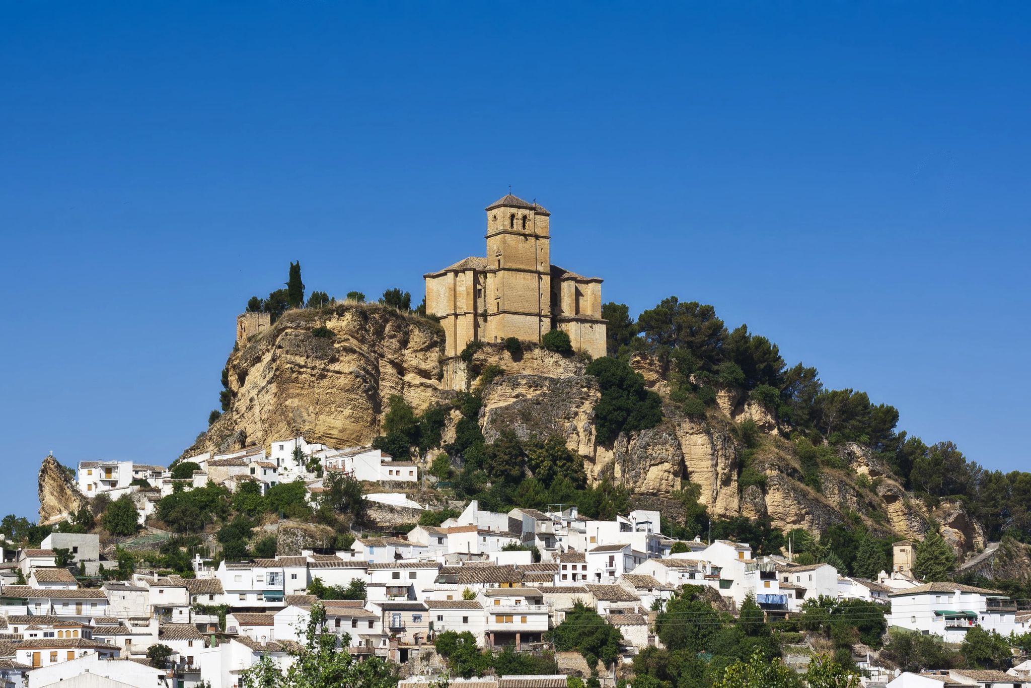
Washington Irving – cycle through the Arab vestiges of Andalusia
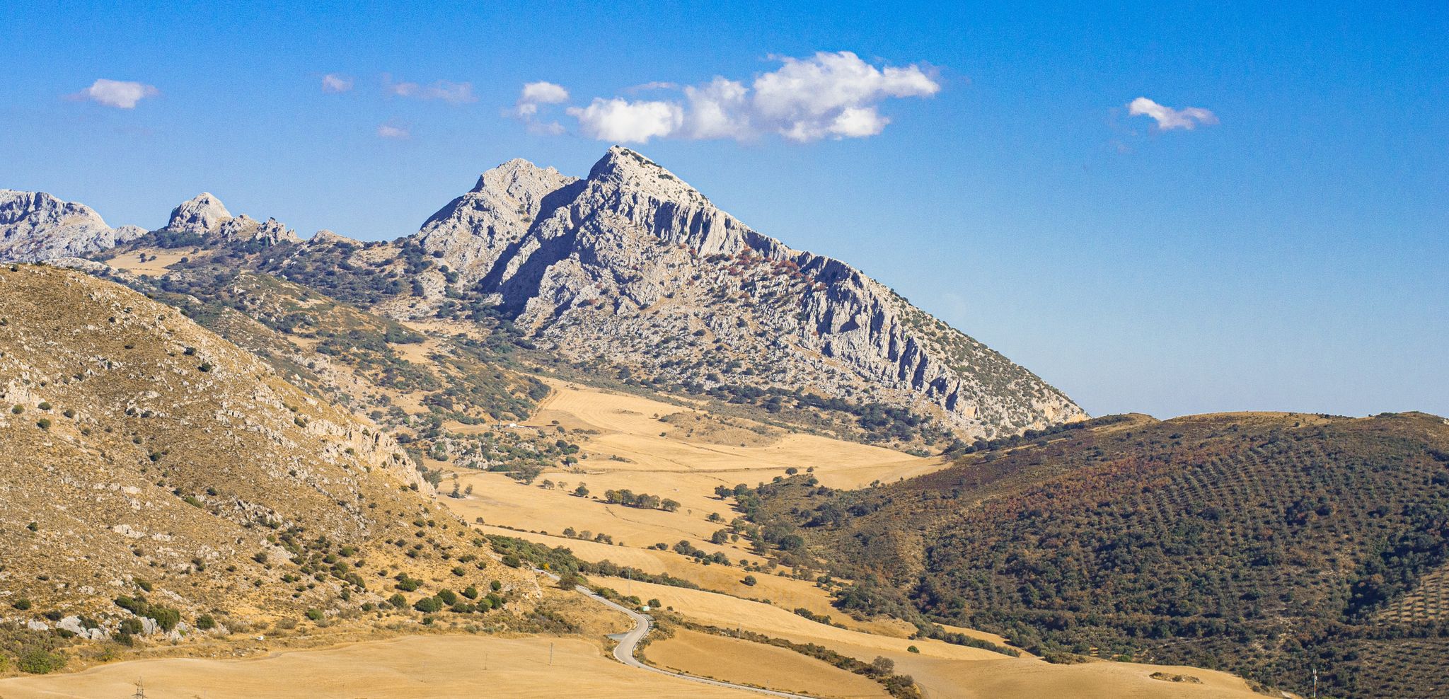
The beauty of the Andalusian mountains – Transandalus southern section

Explore the Betic Mountains on two wheels – Altravesur

Andalusia without limits – Tarifa to La Puebla de Don Fabrique on the GR 7
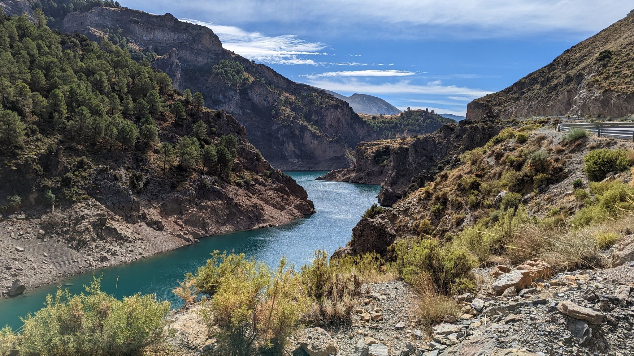
A journey through the Spanish hinterland – cycling across Andalusia

Hiking around Antequera
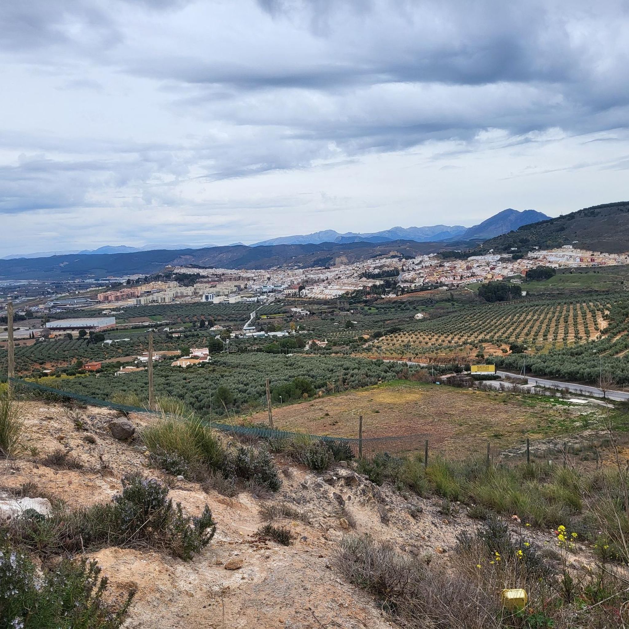
Running Trails around Antequera
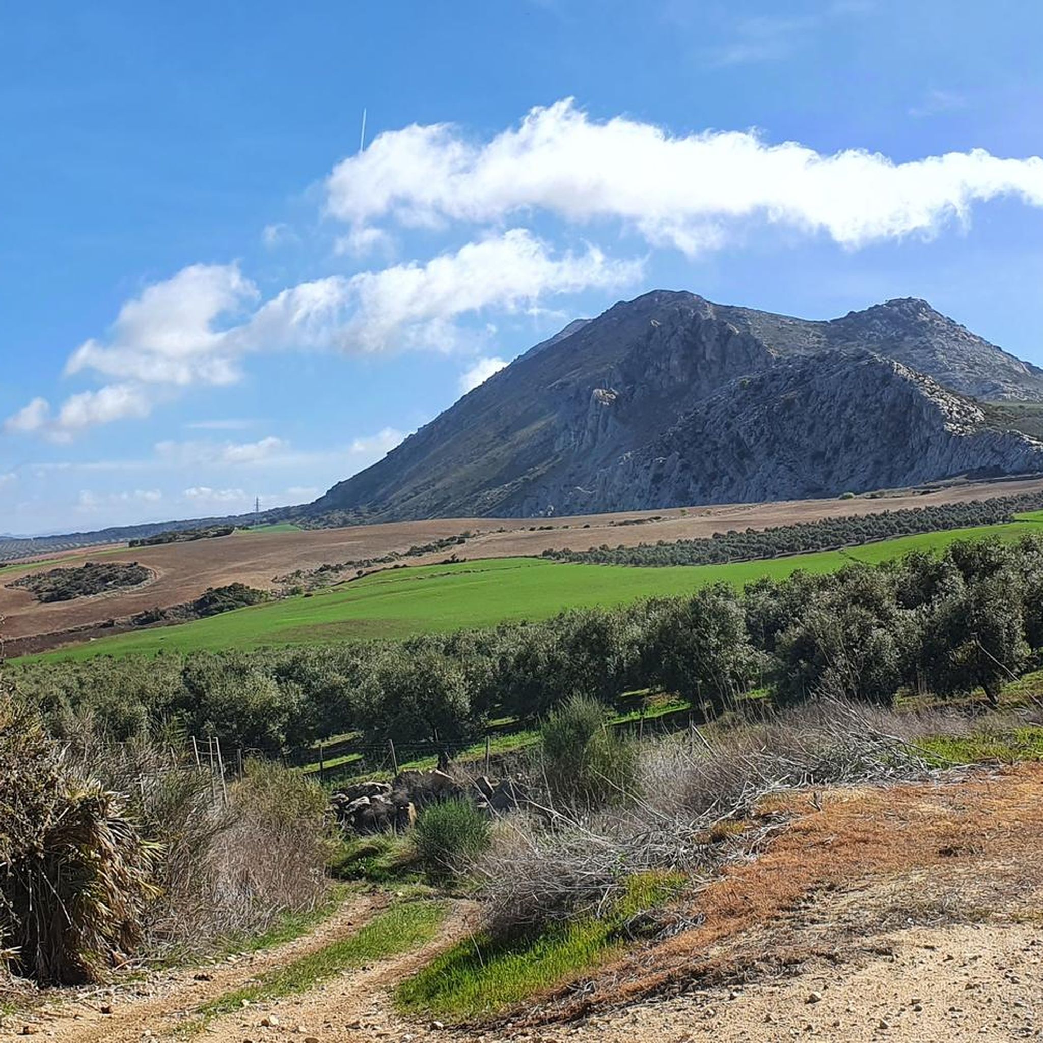
Cycling around Antequera
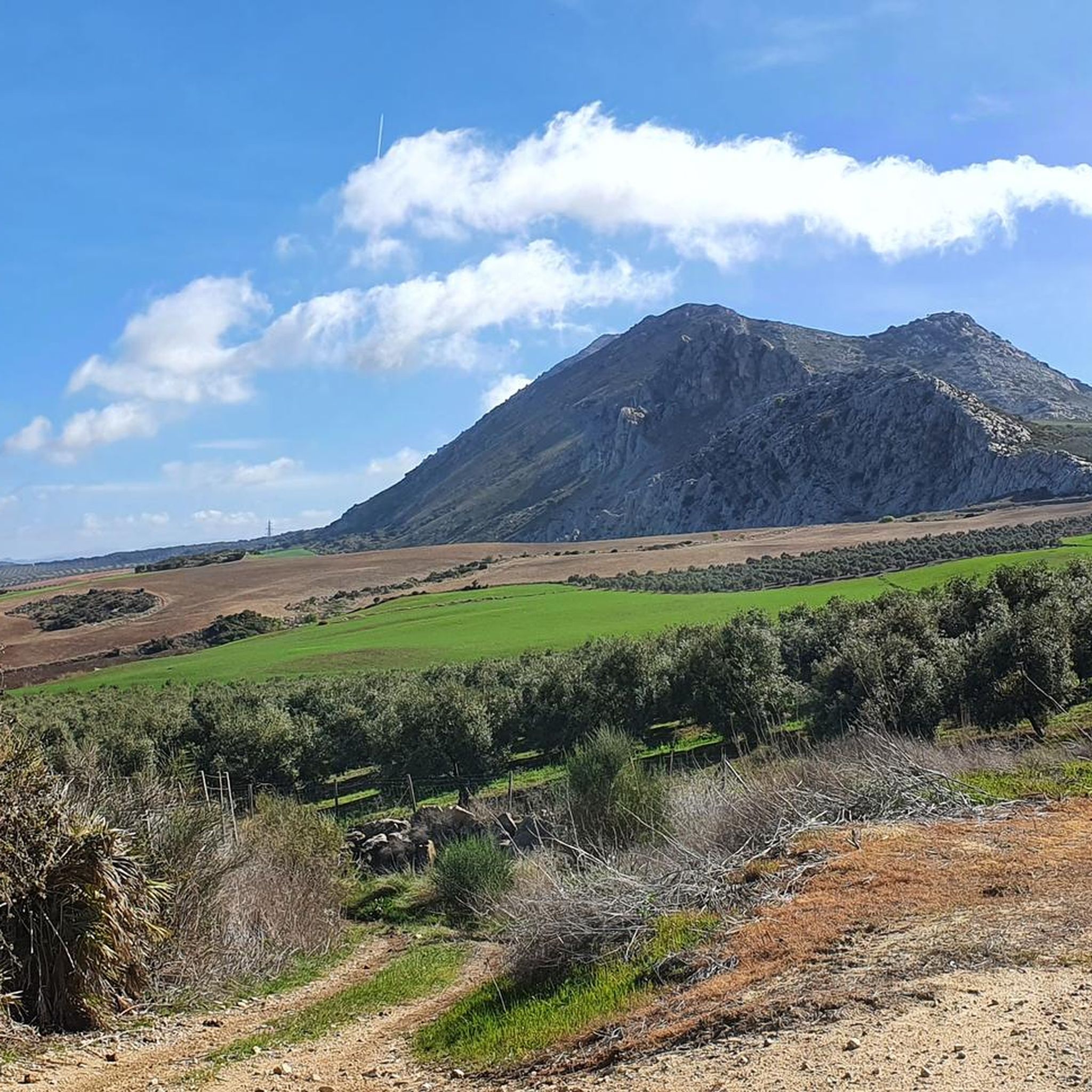
MTB Trails around Antequera
Other adventures around Antequera


Tips from the Community

Rewarding hike through the Guadalhorce gorge
0
0
The last three miles up to the top are tough, very tough, especially if you start out in malaga. But, it is a crazy looking place, super cool. Big slog to get up there, even with a tailwind!
0
0

The Conde de Guadalhorce reservoir is nestled in a picturesque mountain landscape near El Chorro and impresses with turquoise water, steep rock faces and tranquil nature, making it a particularly idyllic destination for tours.
1
0
The climb is noticeable and requires fitness, but the effort is rewarded with a magnificent view of the landscape.
0
0
The Mirador offers a sweeping panoramic view of the surrounding hills at the foot of the El Torcal Natural Park. From here, one can see across rolling hills, olive and almond groves, and the expansive valley stretching below the village. In the background, striking rock formations rise, while the village itself is picturesquely nestled into the landscape.
0
0
At the end of the steady climb, where a sign reads El Torcal, you reach the pass, which runs along the western edge of the mountain range of the same name. Just a few kilometers further on, a separate road branches off to the El Torcal de Antequera Natural Park and its visitor center. From here, a sweeping view opens up across the surrounding mountain ranges. The pass lies directly on the main road connecting Antequera and Villanueva de la Concepción, making it a prominent landmark. Many mistake it for the natural park itself, but it actually marks the highest point of the road on the edge of the impressive karst mountains.
1
0
An impressive Moorish fortress, perched high above Antequera. Built by the Moors between the 11th and 14th centuries, it was further expanded after the Christian reconquest in the 15th century. It served both as a defensive structure and as a symbol of power over the valley.
1
0

Several small gravel sections on the road, not suitable for racing bikes.
0
0
Frequently Asked Questions
What kind of terrain can I expect on road cycling routes around Antequera?
Road cycling routes around Antequera offer a diverse landscape. You'll encounter dramatic karstic limestone formations, particularly around El Torcal, fertile agricultural valleys with lemon and orange groves, and challenging mountain passes. The region's varied terrain provides options from demanding ascents to more moderate rides through picturesque white villages and past scenic reservoirs.
Are there routes suitable for beginner road cyclists in Antequera?
While many routes in Antequera feature significant elevation gains and are rated as difficult, there are also options for less experienced riders. The Guadalhorce Valley, for instance, offers less steep, paved roads ideal for a more moderate ride. Look for routes with lower elevation gain if you're just starting out.
What are some of the most scenic viewpoints along the road cycling routes?
Many routes offer breathtaking views. The climb to El Torcal de Antequera rewards cyclists with panoramic vistas of the surrounding hills and the impressive rock massif. Routes like View of the Casasola Reservoir – Fuente de Almogía loop from Antequera AV provide expansive views of the Casasola Reservoir. You can also find routes that offer glimpses of the dramatic Desfiladero de los Gaitanes gorge.
What is the best time of year for road cycling in Antequera?
Antequera is a great destination for road cycling for much of the year. Spring and autumn generally offer the most pleasant weather conditions, with comfortable temperatures for longer rides. Summers can be very hot, especially in the valleys, so early morning rides are recommended if cycling during this season. Winters are mild, but you might encounter cooler temperatures at higher elevations.
Are there any circular road cycling routes available?
Yes, many of the road cycling routes around Antequera are designed as circular loops, allowing you to start and finish in the same location. For example, the Ascent to Torcal de Antequera from Antequera – circular through the white villages is a popular circular option.
What are some interesting natural attractions to see near the cycling routes?
The region is rich in natural wonders. You can cycle towards the extraordinary karstic landscape of El Torcal de Antequera, a UNESCO World Heritage site. The area is also close to the dramatic Desfiladero de los Gaitanes gorge, home to the famous Caminito del Rey. You might also encounter highlights like Morrón de Mal Infierno or the Desfiladero de los Gaitanes Gorge itself.
Are there any historical or cultural landmarks accessible by road bike?
Yes, Antequera is steeped in history. While cycling, you might pass by traditional whitewashed mountain villages like Álora, Cártama, and Pizarra. The region is also home to the Antequera Dolmens Site, a UNESCO World Heritage site showcasing prehistoric megalithic tombs. You could also find routes near the Mozarabic Rock-Cut Church of Bobastro.
How long are the road cycling routes around Antequera typically?
The routes vary significantly in length. You can find shorter loops, such as the Puerto El Saltillo (885 m) – Torcal de Antequera loop from Antequera AV at about 35.9 miles (57.8 km), or longer, more challenging rides like the View of the Casasola Reservoir – Fuente de Almogía loop from Antequera AV which is around 55.5 miles (89.4 km).
What do other road cyclists say about the routes in Antequera?
The road cycling routes around Antequera are highly rated by the komoot community, with an average score of 4.6 stars from over 40 reviews. Cyclists often praise the diverse terrain, the challenging climbs to unique geological formations like El Torcal, and the scenic rides through agricultural valleys and past reservoirs.
Are there options for family-friendly road cycling in the area?
While many routes feature significant climbs, the Guadalhorce Valley offers flatter, paved roads that are more suitable for families or those seeking a less strenuous ride. These routes often pass through agricultural landscapes and traditional villages, providing a pleasant experience for all skill levels.
What are the parking facilities like for road cyclists in Antequera?
Antequera, as a starting point for many routes, generally offers various parking options within the city. For routes heading towards El Torcal, there is a visitor center at the top with dedicated parking facilities. It's advisable to check specific starting points for available parking before your ride.
Can I use public transport with my bike to access routes around Antequera?
While Antequera is well-connected by public transport, bringing bikes on buses or trains can sometimes be restricted or require special arrangements, especially for full-sized road bikes. It's best to check with local transport providers directly regarding their policies for carrying bicycles.
Most popular attractions around Antequera

Get inspired with the komoot mobile app


Explore more
Browse the best Road cycling routes in other regions.
