The best running trails around Caldearenas
4.7
(35)
3,246
runners
124
runs
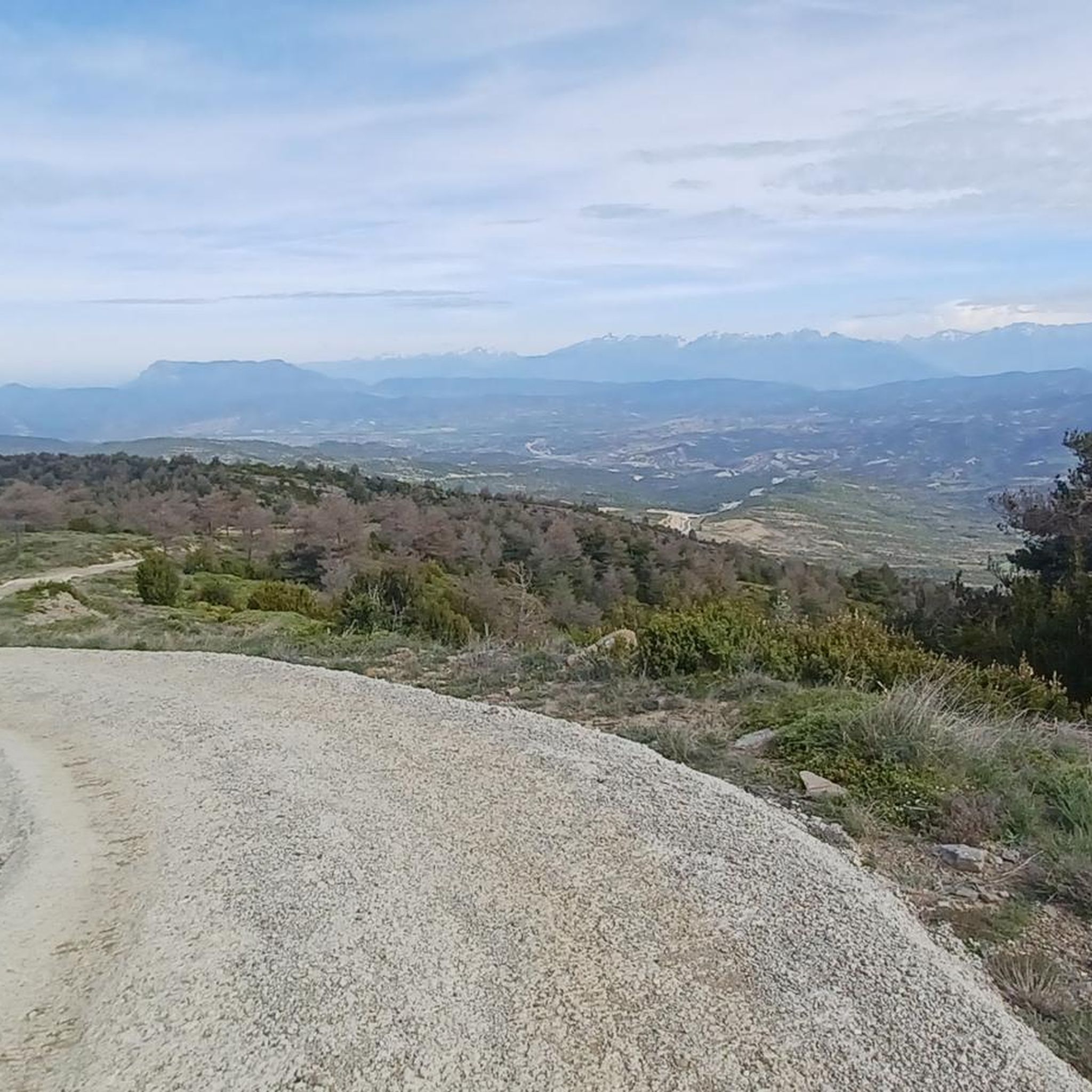
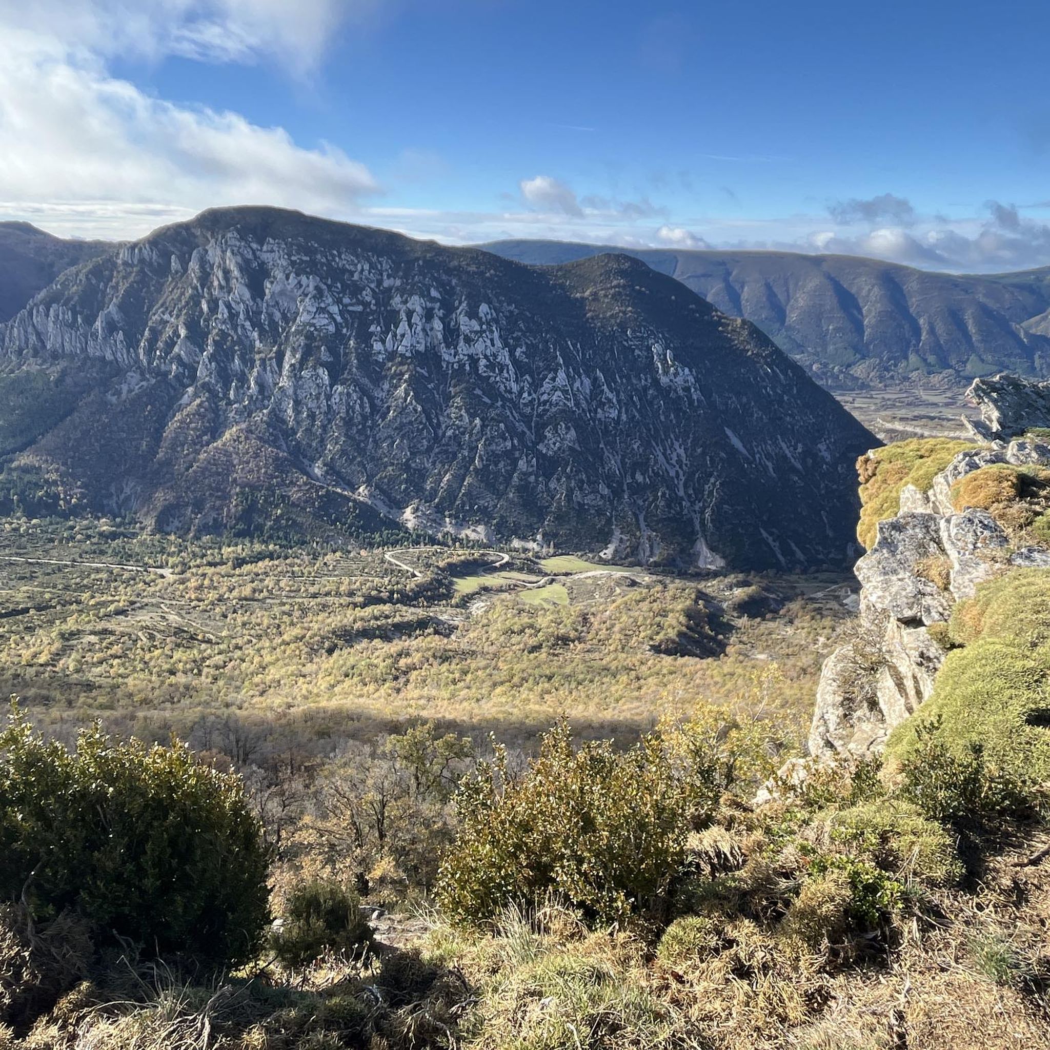
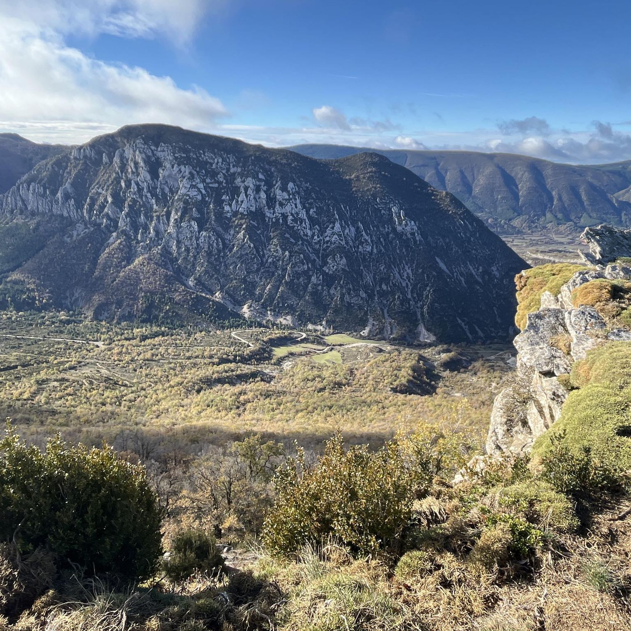
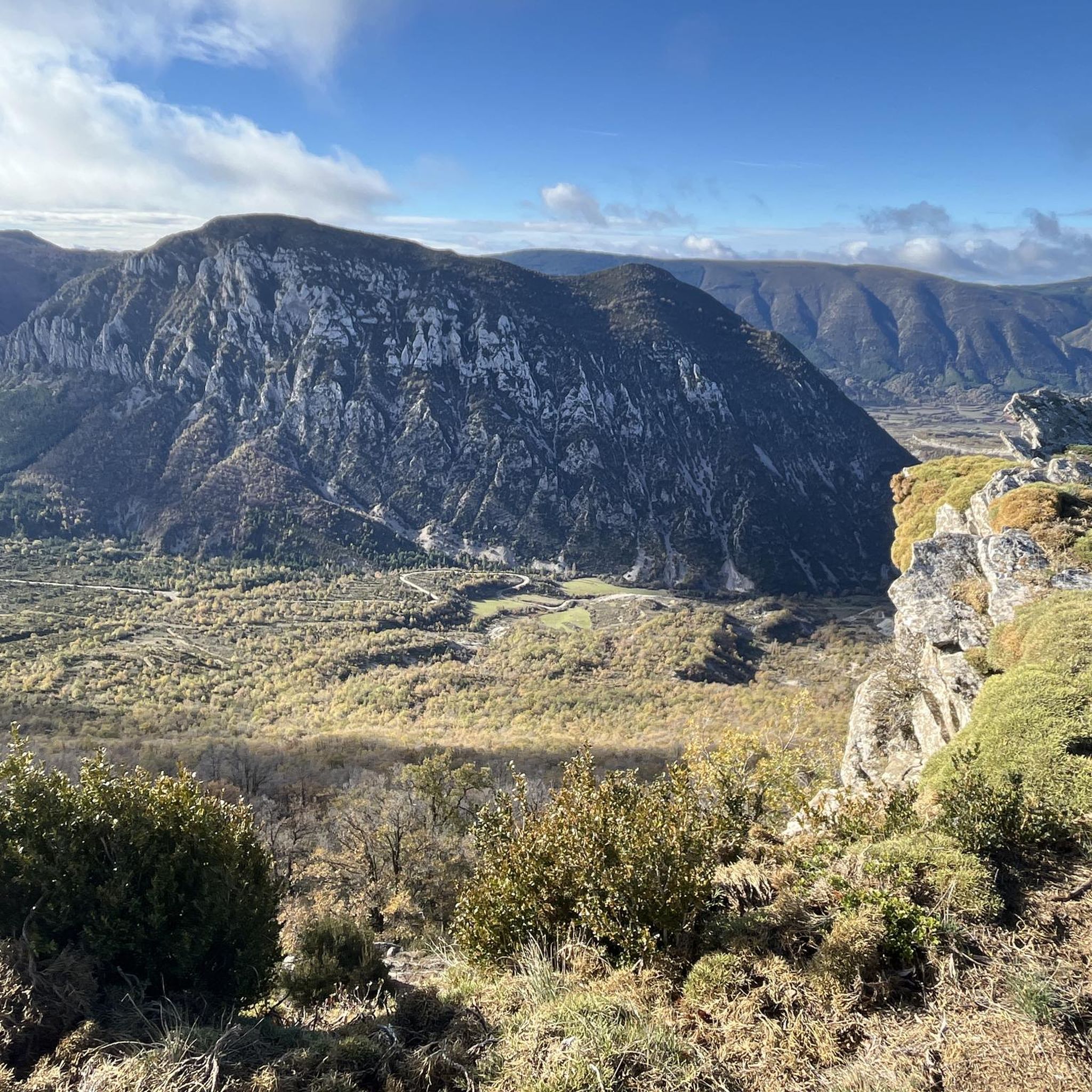
Jogging around Caldearenas offers diverse experiences within the Alto Gállego region of Spain's Huesca province. The area features varied mountainous terrain, with altitudes ranging from 590 meters in the valleys up to 1430 meters at points like Presín, providing a range of inclines and declines. The Gállego River valley also offers potential routes along its course, often with flatter, more accessible options. This topography ensures that runners can find routes varying in difficulty and scenery.
Best jogging routes around Caldearenas
…Last updated: October 7, 2026
5.0
(1)
48
runners
11.4km
01:20
250m
250m
Moderate run. Good fitness required. Mostly paved surfaces. Suitable for all skill levels.
30
runners
22.1km
03:15
930m
930m
Hard run. Very good fitness required. Mostly paved surfaces. Suitable for all skill levels.

25
runners
6.13km
01:04
420m
420m
Hard run. Very good fitness required. Mostly paved surfaces. Suitable for all skill levels.
21
runners
10.4km
01:14
100m
100m
Moderate run. Good fitness required. Mostly paved surfaces. Suitable for all skill levels.
12
runners
14.5km
01:59
570m
570m
Hard run. Very good fitness required. Mostly paved surfaces. Suitable for all skill levels.
Get access to more routes and recommendations from other explorers.
Already have an account?
Our route recommendations are based on thousands of hikes, rides, and runs completed by other people on komoot.
Start today with a free account
Your next adventure awaits.
Tips from the Community

For experts, good water, poles, 360° views
0
0

Arguis is the typical town of the Huesca Pre-Pyrenees with stone houses and nestled under a limestone ridge covered with trees. Opposite the town is the homonymous reservoir, the oldest in Aragon, where the waters of the Isuela River are dammed. The landscape as a whole formed by the sheet of water and the crests of the Pyrenean foothills is enchanting.
0
0

This picturesque town reminiscent of the Pyrenean villages for its stone houses topped by the typical espantabrujas of their chimneys. It also has a beautiful Romanesque-style church dating from the 12th century.
1
1
This is the oldest reservoir in Aragon. It was under construction for 24 years and was completed in 1704. It dams the seasonal waters of the Isuela River and is used exclusively for irrigation (not counting, in addition, fishing), mainly from the Hoya de Huesca.
1
1
This picturesque town is reminiscent of the Pyrenean villages for its stone houses topped by the typical scarecrows on their chimneys. It also has a beautiful Romanesque-style church dating from the 12th century.
0
0
Next to the reservoir, in the old forest house, the Arguis Interpretation Center opens its doors to you so that you can get to know in depth, and in a dynamic and interactive way, the peculiarities of the Sierra y Cañones de Guara Natural Park.
0
0

Isuela River reservoir located in the municipality of Arguis and located 20 kilometers from Huesca.
8
1

Beautiful reservoir, on the road between Huesca and Sabiñánigo.
3
0
Frequently Asked Questions
How many running routes are available in Caldearenas?
Caldearenas offers a wide selection of over 100 running routes. These range from moderate to difficult, providing diverse options for runners of various skill levels.
Are there running routes suitable for beginners or those looking for an easier run?
Yes, while many routes in Caldearenas are challenging, there are a few easier options. You can find 2 easy routes and 23 moderate routes, which are great for those looking for a less strenuous run or to build up their endurance.
What kind of terrain can I expect on the jogging trails in Caldearenas?
The jogging trails in Caldearenas feature varied mountainous terrain, with altitudes ranging from 590 meters in the valleys up to 1430 meters at points like Presín. This means you'll encounter a mix of inclines and declines, offering diverse challenges and scenic views. The Gállego River valley also provides flatter, more accessible options.
Are there any circular running routes in Caldearenas?
Yes, many of the running routes in Caldearenas are circular, allowing you to start and finish at the same point. For example, the Running loop from Caldearenas-Aquilué is a popular 10.1 km circular trail through local valleys, and the San Antón – Presín loop from Caldearenas-Aquilué offers a longer, more challenging 22.1 km loop.
What do other runners enjoy most about the trails in Caldearenas?
The running trails in Caldearenas are highly rated by the komoot community, with an average score of 4.7 stars from over 20 reviews. Runners frequently praise the varied terrain, the challenging ascents, and the beautiful natural landscapes that make each run a rewarding experience.
Can I find routes with significant elevation gain for a challenging workout?
Absolutely. Caldearenas is known for its challenging terrain. Many routes feature significant elevation changes, perfect for those seeking a strenuous workout. For instance, the San Antón – Presín loop from Caldearenas-Aquilué includes over 900 meters of elevation gain, providing a demanding experience.
Are there any notable landmarks or viewpoints along the running trails?
Yes, the region around Caldearenas offers stunning natural monuments and viewpoints. While running, you might encounter vistas like the Parador de Oroel Viewpoint or the Camino del Cielo - Panoramic View. The broader area also features impressive formations like the Peñas de Riglos.
What are some interesting places to explore near the running routes in Caldearenas?
Beyond the trails, the region boasts historical and natural attractions. You could visit the impressive Loarre Castle, the ancient Old Monastery of San Juan de la Peña, or the Jaca Citadel, all within reasonable distance from Caldearenas.
Are there any specific trails that are particularly popular for running?
Local runners often favor routes that offer a good mix of challenge and scenery. The Peiró loop from Collado de la Barza is a popular choice for its varied terrain and elevation changes, while the Peiró – Hayedo del Peiró loop from Collado de la Barza offers a slightly longer experience through a beech forest.
What is the best time of year to go running in Caldearenas?
Caldearenas offers good running conditions for much of the year. Spring and autumn generally provide milder temperatures, which are ideal for longer runs. Summer can be warm, especially at lower altitudes, so early morning or late evening runs are recommended. Winter running is possible, but higher elevation trails may be affected by snow and ice.
Are there any long-distance running options for endurance training?
Yes, for those looking for longer distances and endurance training, Caldearenas has several options. The San Antón – Presín loop from Caldearenas-Aquilué, at 22.1 km with significant elevation, is an excellent choice for a challenging long run. Another option is the Ralla Espada / Pico del Grifo – Presín loop from Bentué de Rasal, which covers 14.2 km with substantial climbing.
Most popular routes around Caldearenas
Most popular attractions around Caldearenas

Get inspired with the komoot mobile app


Explore more
Browse the best Running Trails & Routes in other regions.
