The best walks and hikes around Caldearenas
4.6
(650)
4,311
hikers
142
hikes
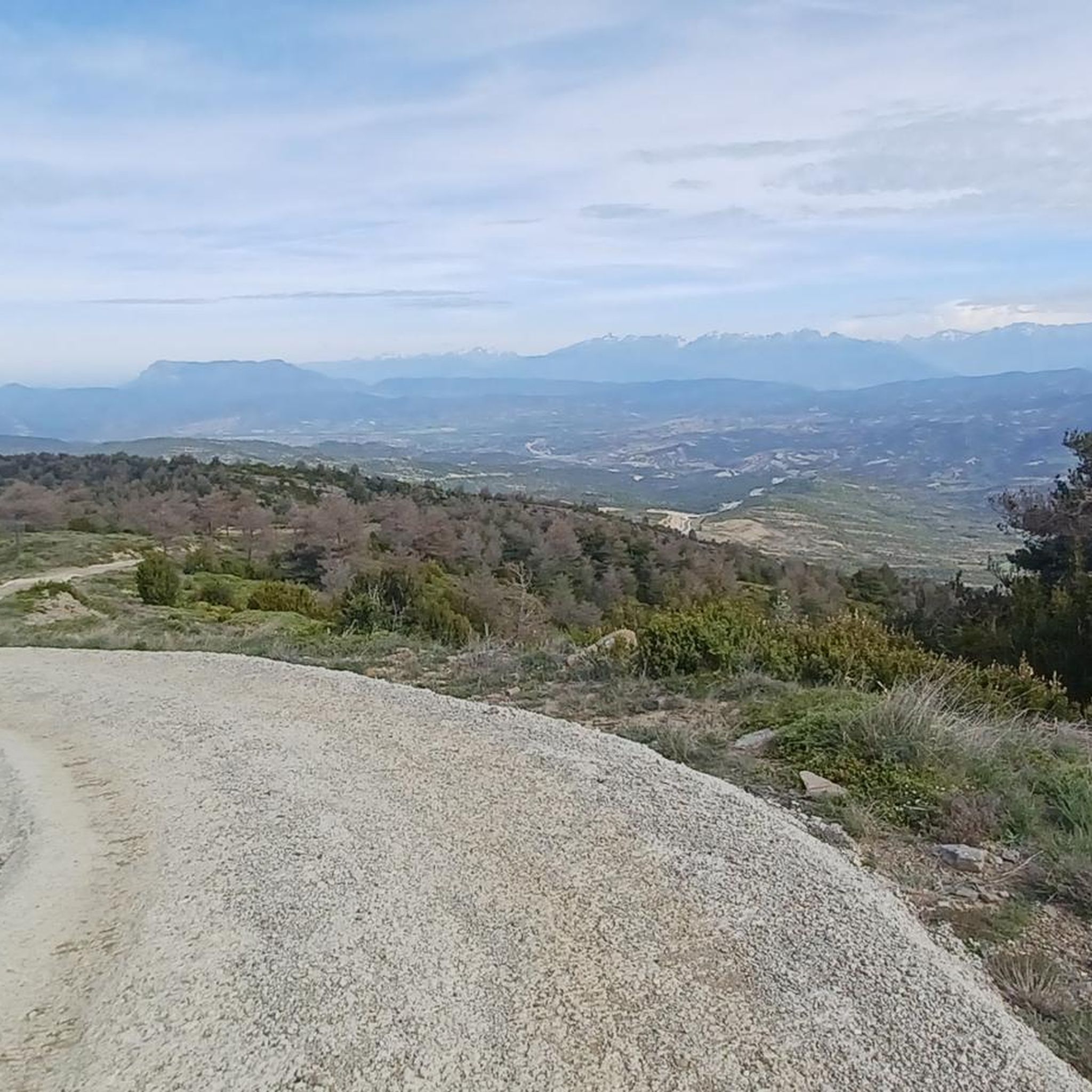
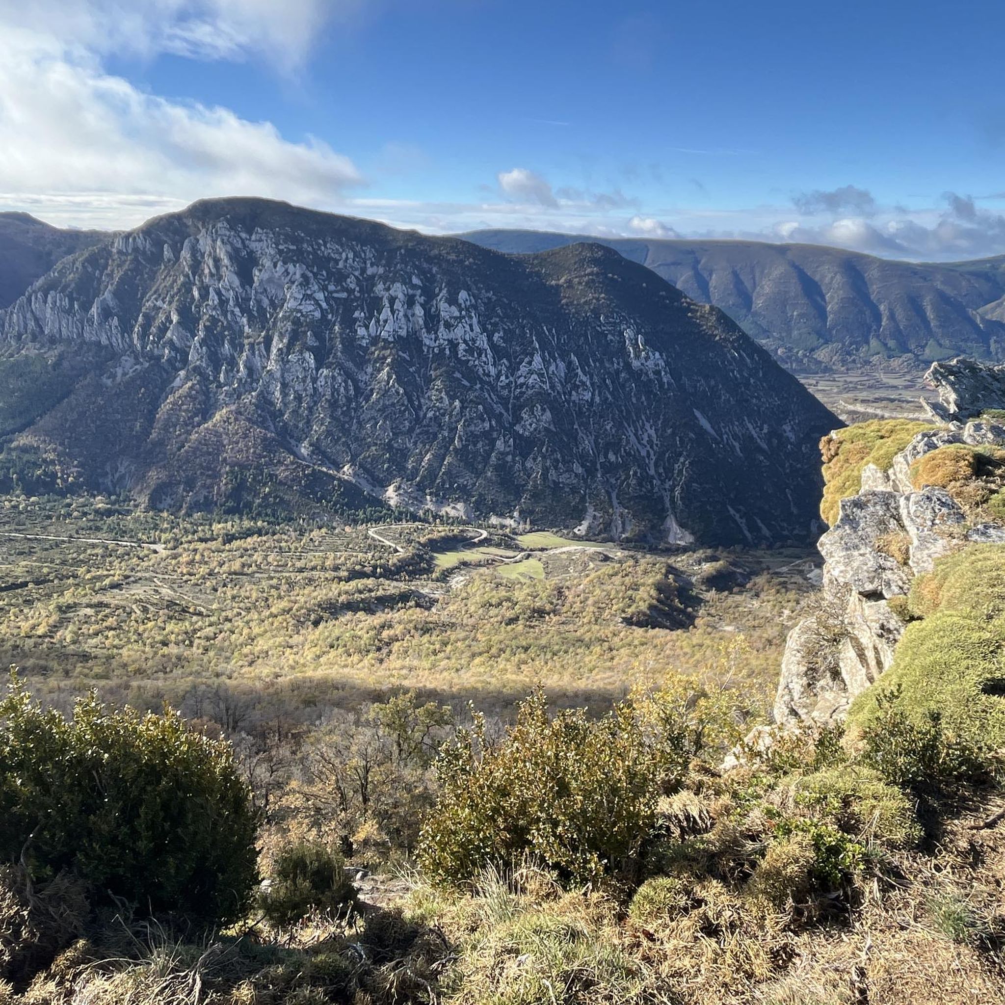
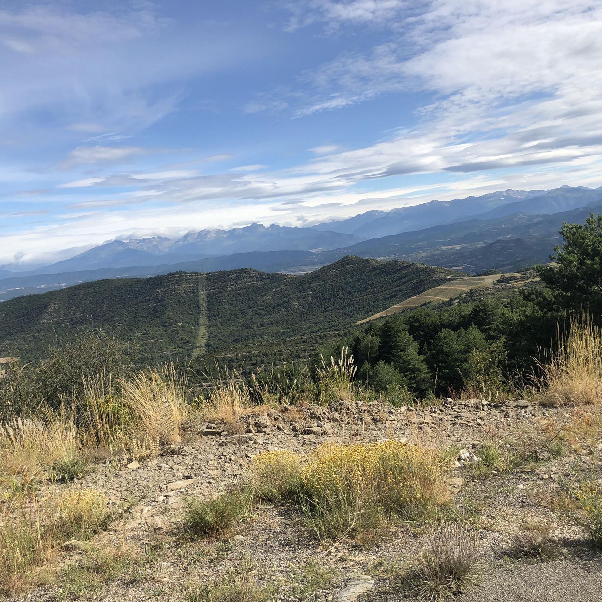
Hiking around Caldearenas offers diverse terrain, characterized by its dense forests, including significant beech and pine woodlands, and the presence of the Arguis Reservoir. The region features varied elevations, with routes traversing hills and passes like Collado de la Barza and Punta Peiró. These physical features provide a range of hiking experiences, from lakeside paths to forest trails.
Best hiking trails around Caldearenas
- The most popular hiking route is Arguis Reservoir – Arguis Reservoir loop from Collado de la Barza…
Last updated: October 7, 2026
4.0
(6)
72
hikers
11.4km
03:13
250m
250m
Moderate hike. Good fitness required. Easily-accessible paths. Suitable for all skill levels.
4.5
(6)
55
hikers
6.03km
02:22
420m
420m
Moderate hike. Good fitness required. Easily-accessible paths. Suitable for all skill levels.

5.0
(5)
38
hikers
7.89km
02:56
490m
490m
Moderate hike. Good fitness required. Easily-accessible paths. Suitable for all skill levels.
5.0
(4)
22
hikers
11.8km
03:59
560m
560m
Moderate hike. Good fitness required. Easily-accessible paths. Suitable for all skill levels.
4.5
(6)
13
hikers
13.8km
04:37
660m
660m
Moderate hike. Good fitness required. Easily-accessible paths. Suitable for all skill levels.
Get access to more routes and recommendations from other explorers.
Already have an account?
Our route recommendations are based on thousands of hikes, rides, and runs completed by other people on komoot.
Start today with a free account
Your next adventure awaits.
Tips from the Community

For experts, good water, poles, 360° views
0
0

Arguis is the typical town of the Huesca Pre-Pyrenees with stone houses and nestled under a limestone ridge covered with trees. Opposite the town is the homonymous reservoir, the oldest in Aragon, where the waters of the Isuela River are dammed. The landscape as a whole formed by the sheet of water and the crests of the Pyrenean foothills is enchanting.
0
0

This picturesque town reminiscent of the Pyrenean villages for its stone houses topped by the typical espantabrujas of their chimneys. It also has a beautiful Romanesque-style church dating from the 12th century.
1
1
This is the oldest reservoir in Aragon. It was under construction for 24 years and was completed in 1704. It dams the seasonal waters of the Isuela River and is used exclusively for irrigation (not counting, in addition, fishing), mainly from the Hoya de Huesca.
1
1
This picturesque town is reminiscent of the Pyrenean villages for its stone houses topped by the typical scarecrows on their chimneys. It also has a beautiful Romanesque-style church dating from the 12th century.
0
0
Next to the reservoir, in the old forest house, the Arguis Interpretation Center opens its doors to you so that you can get to know in depth, and in a dynamic and interactive way, the peculiarities of the Sierra y Cañones de Guara Natural Park.
0
0

Isuela River reservoir located in the municipality of Arguis and located 20 kilometers from Huesca.
8
1

Beautiful reservoir, on the road between Huesca and Sabiñánigo.
3
0
Frequently Asked Questions
How many hiking trails are available in Caldearenas?
Caldearenas offers a wide selection of hiking experiences, with over 100 routes available. These range from easy strolls to more challenging treks, traversing dense forests, hills, and offering views of the Arguis Reservoir.
Are there easy hiking trails suitable for beginners in Caldearenas?
Yes, Caldearenas has a good selection of trails suitable for beginners. There are 15 easy routes, often featuring gentle terrain through woodlands. For example, the region offers moderate forest loops that are accessible for those new to hiking.
Are there circular hiking routes available in Caldearenas?
Many of the trails in Caldearenas are designed as circular routes, allowing you to start and end at the same point. An example is the Arguis Reservoir – Arguis Reservoir loop from Collado de la Barza, which offers scenic views around the reservoir.
What kind of landscapes can I expect to see while hiking in Caldearenas?
Hiking in Caldearenas is characterized by its diverse natural beauty. You'll encounter dense beech and pine woodlands, varied elevations with hills and passes like Collado de la Barza and Punta Peiró, and picturesque views of the Arguis Reservoir. The trails offer a mix of forest paths and open landscapes.
Which hikes offer the best viewpoints in Caldearenas?
For impressive vistas, consider routes that ascend to higher points. While specific viewpoint trails vary, many routes offer glimpses of the surrounding landscape. You can also visit dedicated viewpoints like the Riglos Griffon Vulture Viewing Area or the Colorado Viewpoint, which are nearby attractions.
Are there any natural attractions or landmarks to see near the hiking trails?
Absolutely. The region boasts several notable natural attractions. You can explore the dramatic Foz de Escalete or the Gorgas de San Julián. The iconic Peñas de Riglos and the serene Arguis Reservoir are also prominent features in the area.
What is the best time of year to go hiking in Caldearenas?
Caldearenas offers hiking opportunities throughout much of the year. Spring and autumn are particularly pleasant, with mild temperatures and vibrant foliage in the beech and pine forests. Summer can be warm, making early morning or late afternoon hikes ideal. Winter hiking is possible, especially on lower elevation trails, but higher passes may require appropriate gear for snow or ice.
Can I bring my dog on the hiking trails in Caldearenas?
Many trails in the Caldearenas region are dog-friendly, allowing you to enjoy the natural beauty with your canine companion. However, it's always recommended to keep dogs on a leash, especially in areas with wildlife or near livestock, and to check specific trail regulations before you go.
Are there family-friendly hiking options in Caldearenas?
Yes, Caldearenas offers several routes suitable for families. Many of the moderate forest loops, such as the Peiró Beech Forest – Punta Peiró loop from Collado de la Barza, provide manageable distances and interesting scenery for all ages. Look for trails with less elevation gain and shorter durations.
Where can I find parking for hiking trails in Caldearenas?
Parking is generally available at common starting points for popular trails. For instance, many routes, including the Punta Peiró – Pine forest loop from Collado de la Barza, begin near Collado de la Barza, which typically has designated parking areas. It's advisable to check specific route details for precise parking information.
What do other hikers enjoy the most about hiking in Caldearenas?
The area is highly rated by the komoot community, with an average score of 4.6 stars from over 600 reviews. Hikers often praise the quiet woodlands, the varied terrain from lakeside paths to forest trails, and the well-maintained paths that make exploring the region's natural beauty a pleasure.
Is it possible to reach hiking trails in Caldearenas using public transport?
While Caldearenas is primarily accessed by car, some public transport options might connect to nearby towns. However, direct public transport to specific trailheads can be limited. It's recommended to research local bus schedules or consider carpooling if you plan to rely on public transport to reach the starting points of your hikes.
Most popular routes around Caldearenas
Most popular attractions around Caldearenas

Get inspired with the komoot mobile app


Explore more
Browse the best Hikes in other regions.
