The best walks and hikes around Thann-Gebweiler
4.6
(15907)
84,355
hikers
2,289
hikes
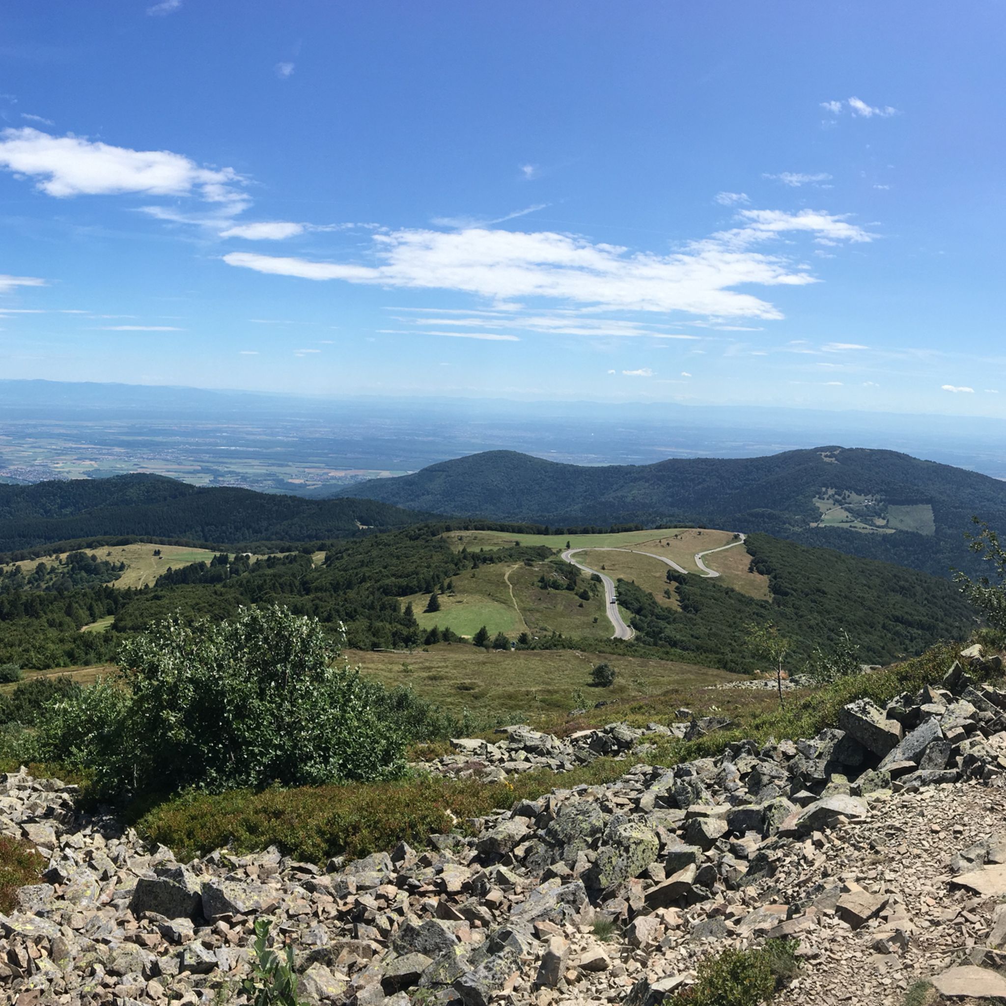
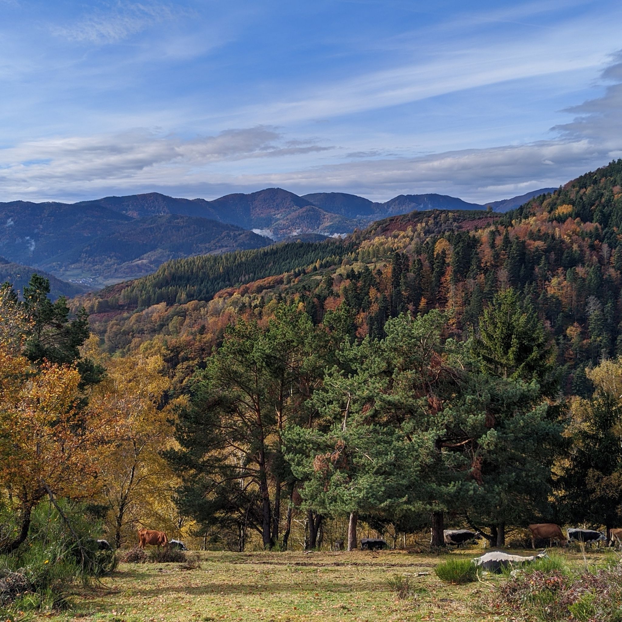
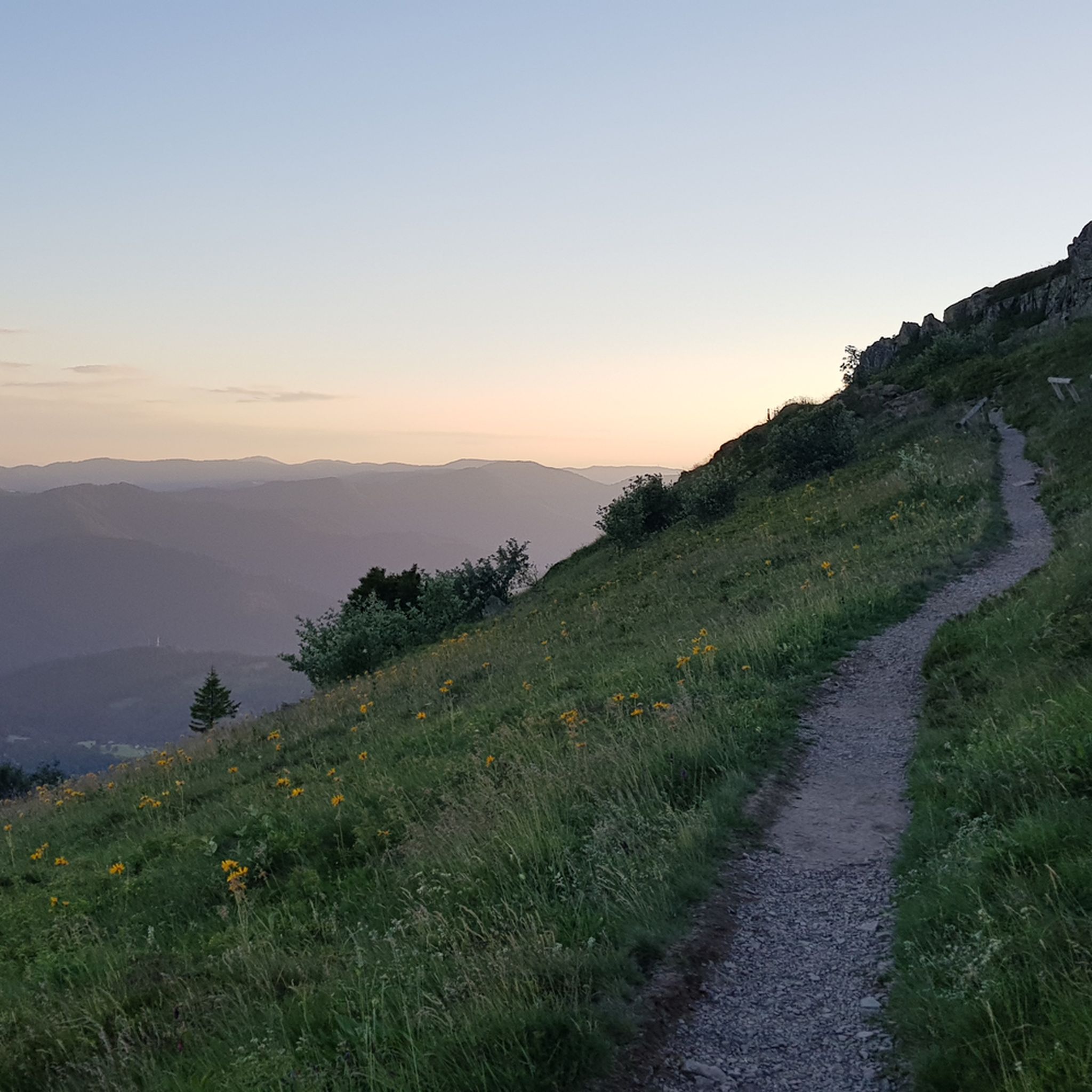
Hiking around Thann-Gebweiler offers diverse terrain at the foot of the Vosges mountains in Southern Alsace. The region is characterized by dense forests, river valleys, and significant peaks like the Grand Ballon. An extensive network of trails traverses varied landscapes, including vineyards and glacial lakes. This area provides a range of outdoor experiences for hikers.
Best hiking trails around Thann-Gebweiler
- The most popular hiking route is Grand Ballon – 1,424 metres (4,672 ft): highest point in the Vosges mountains,…
Last updated: October 24, 2026
4.7
(594)
2,327
hikers
8.89km
03:21
470m
460m
Moderate hike. Good fitness required. Mostly walkable paths. Sure-footedness required.
4.7
(167)
665
hikers
Moderate hike. Good fitness required. Easily walkable paths.

4.7
(123)
577
hikers
7.03km
02:31
420m
420m
Moderate hike. Good fitness required. Easily walkable paths.
4.4
(103)
377
hikers
Easy hike. Easily walkable paths.
4.7
(70)
273
hikers
9.93km
03:23
420m
420m
Hike the moderate Petit Ballon Loop via GR 532 for 6.2 miles (9.9 km) in the Vosges, featuring panoramic summit views.
4.5
(62)
230
hikers
10.6km
03:19
340m
340m
Hike the moderate 6.6-mile Ballon d'Alsace Tour, gaining 1122 feet in 3 hours and 19 minutes, with panoramic views in the Vosges mountains.
4.6
(60)
291
hikers
8.44km
02:33
280m
280m
Hike the moderate 5.2-mile Tour of Markstein Trail in the Vosges mountains, featuring panoramic views and Lake Lauch.
4.6
(40)
135
hikers
8.47km
03:09
400m
400m
Hike the Grand Ballon Panoramic Summit Loop for moderate terrain, stunning Vosges views, and a glimpse of the Swiss Alps on clear days.
4.6
(44)
183
hikers
12.3km
04:19
670m
670m
Hike the moderate 7.7-mile Le Hartmannswillerkopf loop from Jungholtz, exploring WWI history and enjoying panoramic views.
4.7
(23)
138
hikers
11.5km
03:53
570m
570m
Hike the moderate 7.2-mile Le lac du Ballon loop from Hoefen, gaining 1855 feet through the Parc Naturel Régional des Ballons des Vosges.
Get access to more routes and recommendations from other explorers.
Already have an account?
Our route recommendations are based on thousands of hikes, rides, and runs completed by other people on komoot.
Start today with a free account
Your next adventure awaits.



Other adventures around Thann-Gebweiler


Tips from the Community

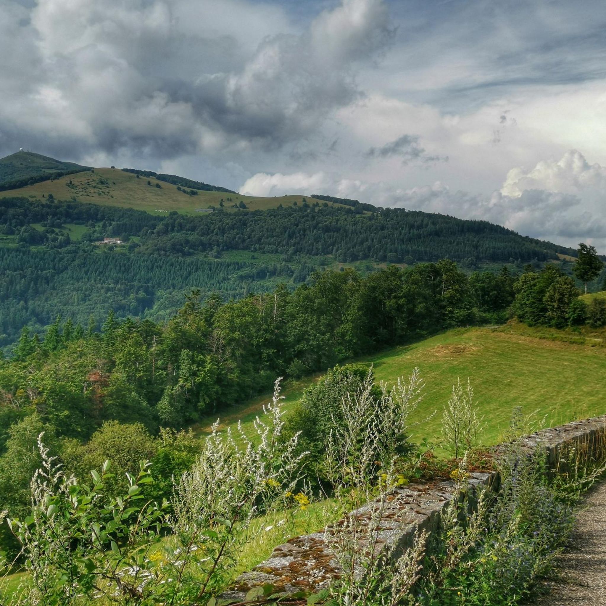
When you drive from the Route des Crêtes towards Le Grand Ballon, you pass the Col du Haag (1233 m) almost unnoticed. Yet, this pass marks a special point on the southern flank of the highest mountain in the Vosges. Here, steep roads from the Thurdal leave the wooded slopes and reach the open heights of the massif. From the col, a typical Vosges landscape unfolds with mountain meadows, scattered farms, and sweeping views. The proximity of the Grand Ballon is felt everywhere: the imposing summit towers above the pass and forms the natural goal of the final climbing kilometers. For cyclists, the Col du Haag is mainly known as the point where difficult climbs from the valleys converge before the road continues to rise to the highest point of the Vosges.
6
0
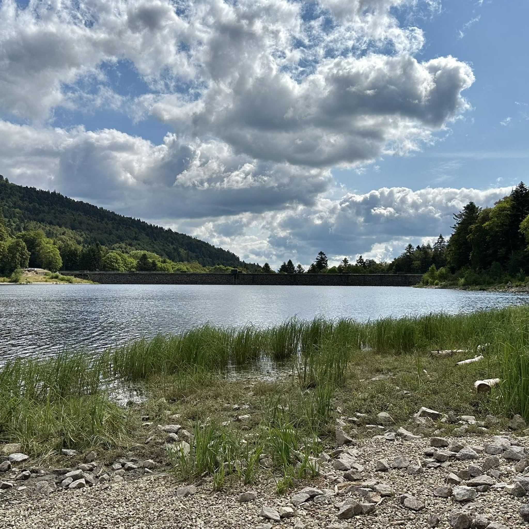
Stuwdam Lac de Kruth‑Wildenstein View over the quiet mountain lake on one side, and on the other side the steep, wooded rock face of the Thur valley.
8
0
Het Meer van Kruth-Wildenstein (Lac de Kruth-Wildenstein) is een prachtig, kunstmatig stuwmeer in de Elzas (departement Haut-Rhin), gelegen op een hoogte van 545 meter aan de voet van de Col d'Oderen. Met een oppervlakte van 81 hectare is dit diepblauwe meer omringd door beboste berghellingen een van de absolute parels van de Vogezen en een ideaal rust- of startpunt voor wielrenners.
6
0

It is easier than it looks but with the heat everything was more difficult.
0
0

Small nice waterfall by the roadside
0
0

The Vosges nature reserve remains beautiful.
3
0

A fantastic view is guaranteed, the terrain is almost alpine.
3
0
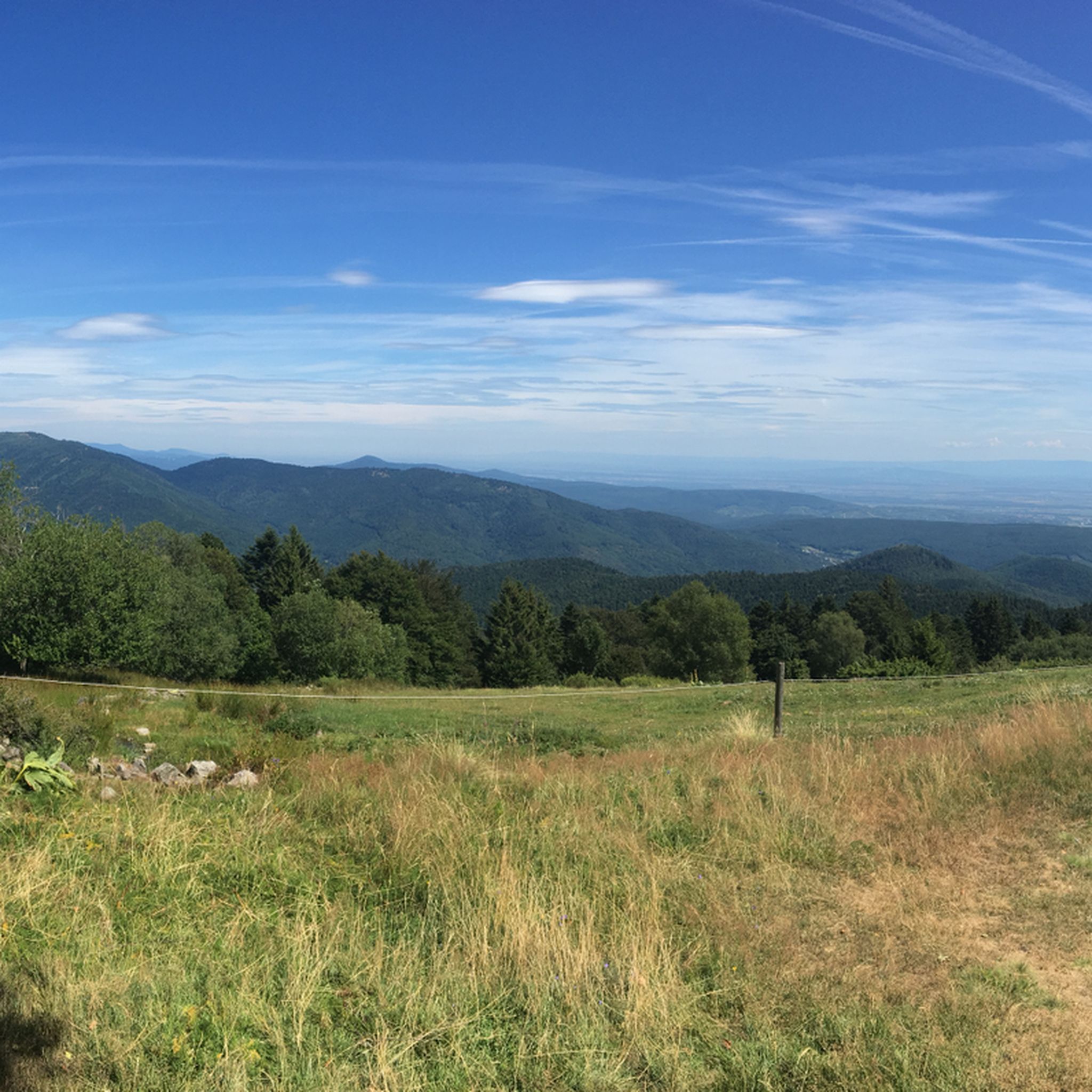
Hiking from the balloon over the mountain ridge through the High Vosges promises wonderful solitude and panoramic views.
3
0
Frequently Asked Questions
How many hiking trails are available in the Thann-Gebweiler region?
The Thann-Gebweiler region offers an extensive network of over 2,200 hiking trails. These routes cater to a wide range of preferences, from easy strolls to challenging mountain ascents, ensuring options for all fitness levels.
What kind of landscapes can I expect to see while hiking in Thann-Gebweiler?
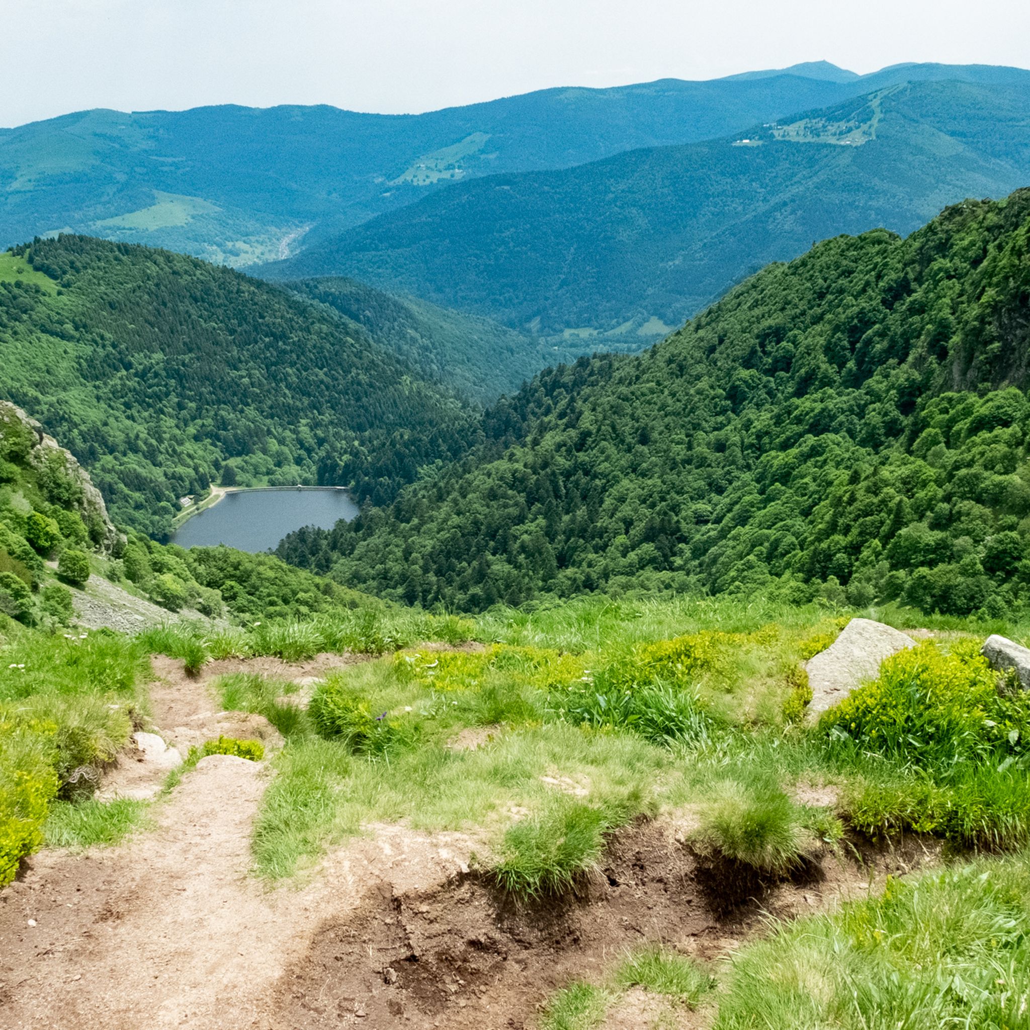
Hiking in Thann-Gebweiler offers incredibly diverse landscapes. You'll traverse dense forests, explore the scenic Thur River Valley, and ascend into the majestic Vosges Mountains, including peaks like the Grand Ballon and Petit Ballon. The region also features unique areas such as the steep Rangen vineyard and picturesque glacial lakes like Ballon Lake and Lake Kruth-Wildenstein.
Are there hiking routes suitable for families or beginners?
Yes, Thann-Gebweiler has many trails suitable for families and beginners. Over 800 routes are classified as easy, offering gentle gradients and shorter distances. An example is the Ballon d'Alsace — loop in the Parc Naturel Régional des Ballons des Vosges, which is an easy 6.5 km path.
What historical sites or landmarks can I discover along the hiking trails?
The region is rich in history. You can explore the ruins of Château de l'Engelbourg, also known as 'the witch's eye,' which offers panoramic views. Another significant site is Hartmannswillerkopf, a preserved World War I battlefield, which you can explore via routes like The trenches of Hartmannswillerkopf — loop from Wattwiller or the Hartmannswillerkopf Discovery Trail.
Are there any waterfalls or scenic lakes to visit?
Absolutely. The region is home to beautiful waterfalls such as the Bockloch Waterfall and the Heidenbad Waterfall, where the Thur River cascades from 24 meters high. For scenic lakes, you can visit Ballon Lake, situated in a glacial cirque, or hike around Lake Kruth-Wildenstein, as seen on the Around the Lac de Kruth — loop.
What do other hikers enjoy most about the trails in Thann-Gebweiler?
The trails in Thann-Gebweiler are highly regarded by the komoot community, with an average rating of 4.6 stars from over 12,000 reviews. Hikers frequently praise the stunning panoramic views from peaks like the Grand Ballon, the diverse natural scenery, and the well-maintained network of paths that cater to various skill levels.
Are there any circular hiking routes available?
Yes, many of the popular hikes in Thann-Gebweiler are circular routes, allowing you to start and end at the same point. Examples include the Around the Lac de Kruth — loop, the Petit Ballon Loop via GR 532, and the Grand Ballon Panoramic Summit Loop.
What is the best time of year to go hiking in Thann-Gebweiler?
The Thann-Gebweiler region offers great hiking opportunities throughout much of the year. Spring and autumn provide pleasant temperatures and vibrant colors, while summer is ideal for higher altitude trails in the Vosges Mountains. Winter hiking is also possible, though some higher trails may be affected by snow and require appropriate gear.
Are dogs allowed on the hiking trails in Thann-Gebweiler?
Generally, dogs are welcome on many hiking trails in the Thann-Gebweiler region, especially within the Parc Naturel Régional des Ballons des Vosges. However, it's always recommended to keep them on a leash, particularly in nature reserves, near livestock, or in busy areas, to ensure the safety and comfort of all hikers and wildlife.
Where can I find parking for popular trailheads?
Parking is generally available near popular trailheads throughout the Thann-Gebweiler region. For instance, you'll find designated parking areas for access to the Grand Ballon and Lac de Kruth. Specific parking information is often detailed on individual route pages or local tourism websites.
Can I reach hiking trails using public transport?
While many trailheads are best accessed by car, some routes in the Thann-Gebweiler region may be reachable via public transport, particularly those closer to towns like Thann or Gebweiler. It's advisable to check local bus or train schedules for specific routes and their proximity to hiking starting points.
Are there any challenging hikes for experienced trekkers?
Yes, experienced trekkers will find plenty of challenging options. The region boasts over 300 difficult routes, often involving significant elevation gain and longer distances. Trails leading to the Grand Ballon, such as Grand Ballon – 1,424 metres (4,672 ft), offer substantial climbs and rewarding panoramic views.
Most popular routes around Thann-Gebweiler
Most popular attractions around Thann-Gebweiler

Get inspired with the komoot mobile app


Didn’t find what you were looking for?
Check out more Hikes throughout Thann-Gebweiler below and find the perfect route in your destination.
Explore more
Browse the best Hikes in other regions.
