The best walks and hikes around Châteaulin
4.5
(8785)
47,502
hikers
1,057
hikes
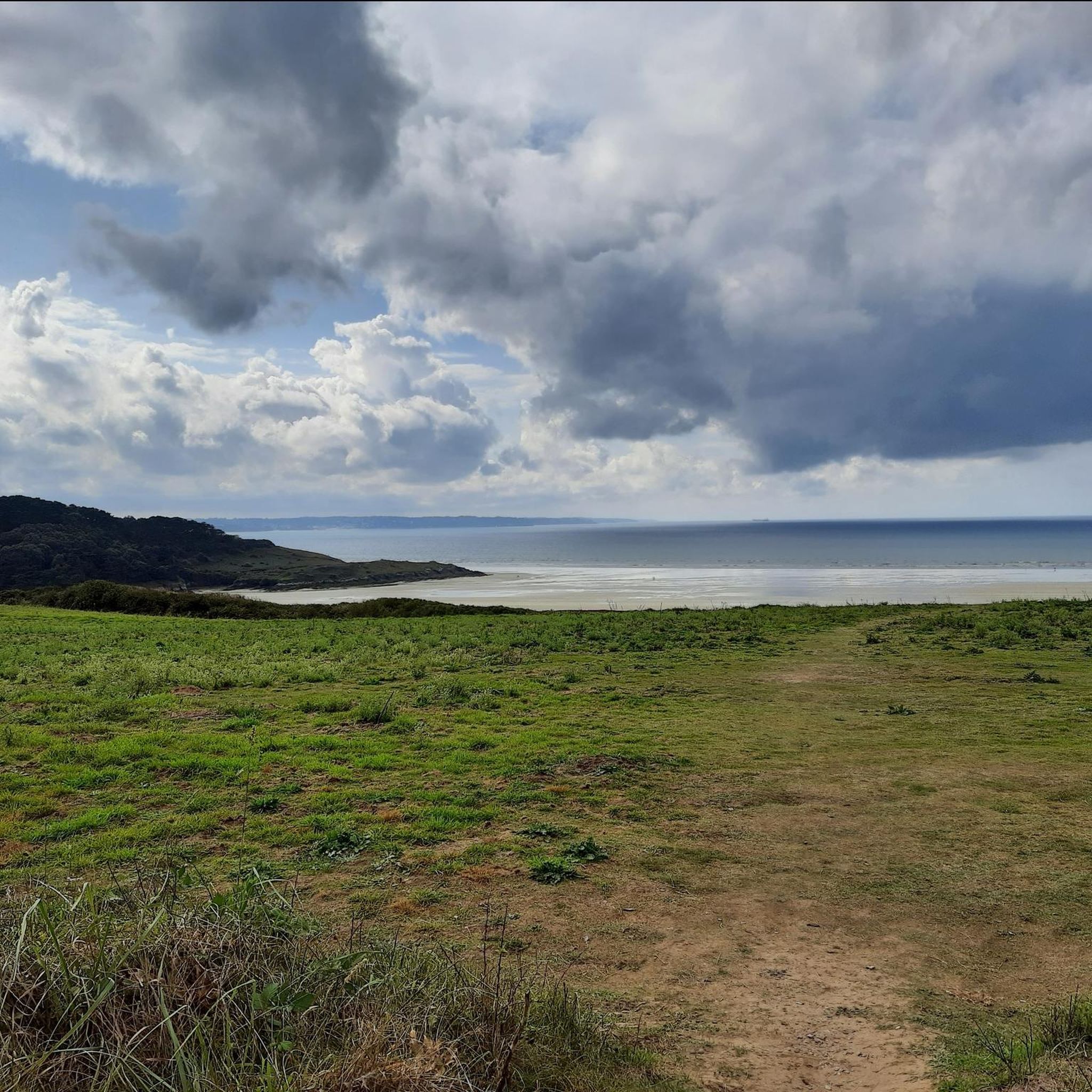
Hiking around Châteaulin offers diverse landscapes in the heart of Finistère, Brittany. The region is characterized by verdant hills, extensive forests, and the Aulne river, which is bisected by the Nantes-Brest Canal. Notable natural features include the Ménez Hom and Montagne Saint-Michel, providing panoramic views, alongside dramatic coastal paths at Cap de la Chèvre. This varied terrain provides a range of hiking experiences from riverside strolls to more challenging hill climbs.
Best hiking trails around Châteaulin
- The most popular hiking…
Last updated: August 17, 2026
4.8
(144)
1,080
hikers
23.0km
06:34
450m
450m
Hard hike. Very good fitness required. Mostly accessible paths. Sure-footedness required.
4.7
(161)
714
hikers
Moderate hike. Good fitness required. Easily-accessible paths. Suitable for all skill levels.

Sign up for free
4.7
(194)
955
hikers
13.8km
03:42
180m
180m
Moderate hike. Good fitness required. Mostly accessible paths. Sure-footedness required.
4.8
(120)
521
hikers
4.99km
01:24
100m
100m
Moderate hike. Great for any fitness level. Mostly accessible paths. Sure-footedness required.
4.7
(41)
290
hikers
17.0km
04:54
330m
330m
Moderate hike. Good fitness required. Mostly accessible paths. Sure-footedness required.
4.7
(70)
321
hikers
4.59km
01:18
100m
100m
Easy hike. Great for any fitness level. Easily-accessible paths. Suitable for all skill levels.
4.8
(552)
2,360
hikers
13.4km
03:44
260m
260m
Moderate hike. Good fitness required. Easily-accessible paths. Suitable for all skill levels.
4.1
(58)
207
hikers
Moderate hike. Good fitness required. Easily-accessible paths. Suitable for all skill levels.
4.8
(426)
1,707
hikers
11.3km
03:08
200m
200m
Moderate hike. Good fitness required. Easily-accessible paths. Suitable for all skill levels.
4.6
(27)
125
hikers
8.89km
02:28
170m
170m
Moderate hike. Good fitness required. Easily-accessible paths. Suitable for all skill levels.
Get access to more routes and recommendations from other explorers.
Sign up for free
Already have an account?
Our route recommendations are based on thousands of hikes, rides, and runs completed by other people on komoot.
Start today with a free account
Your next adventure awaits.
Login or Signup
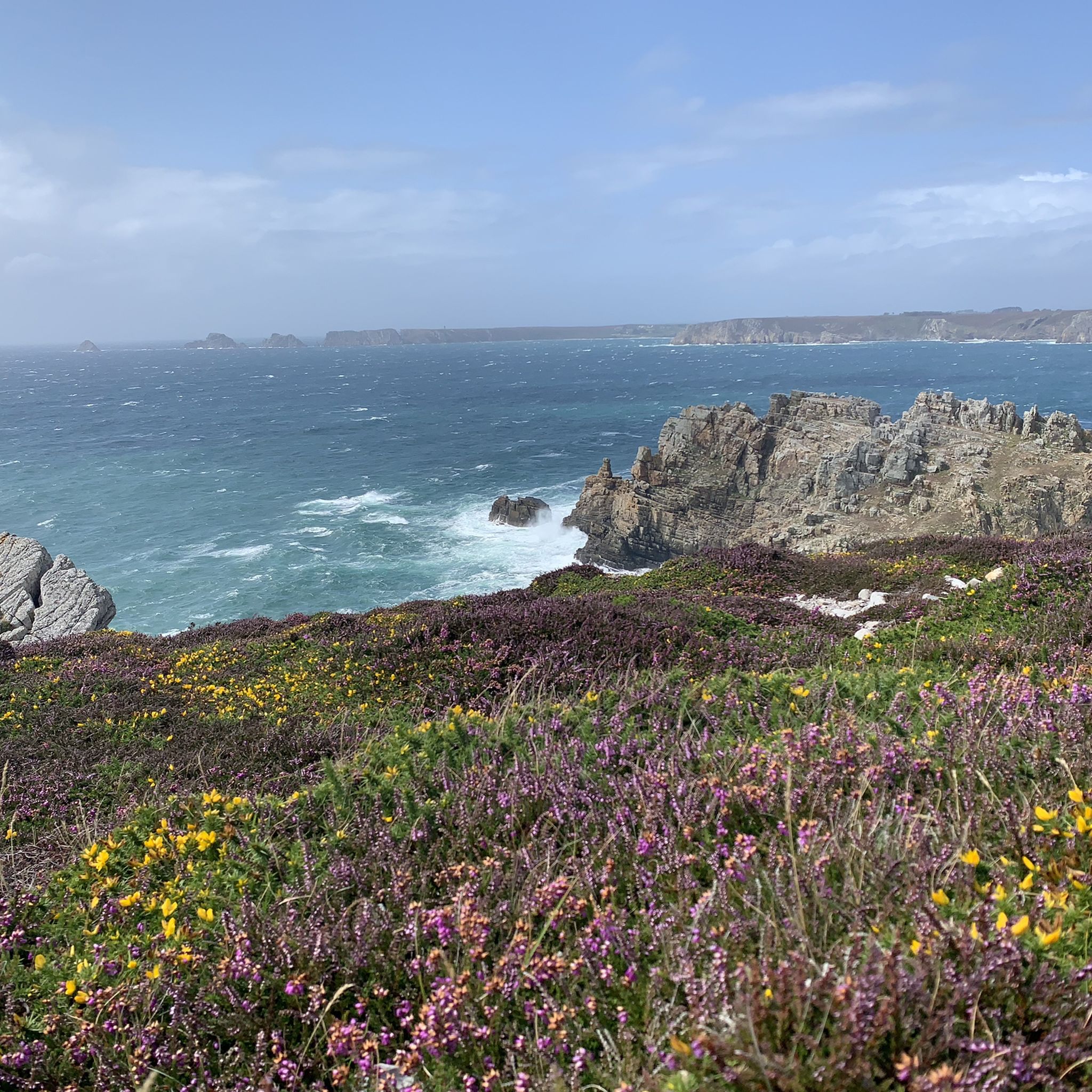
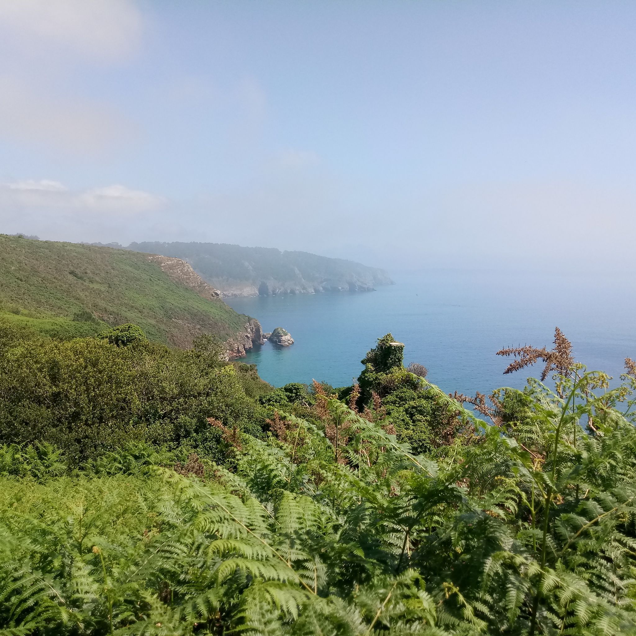
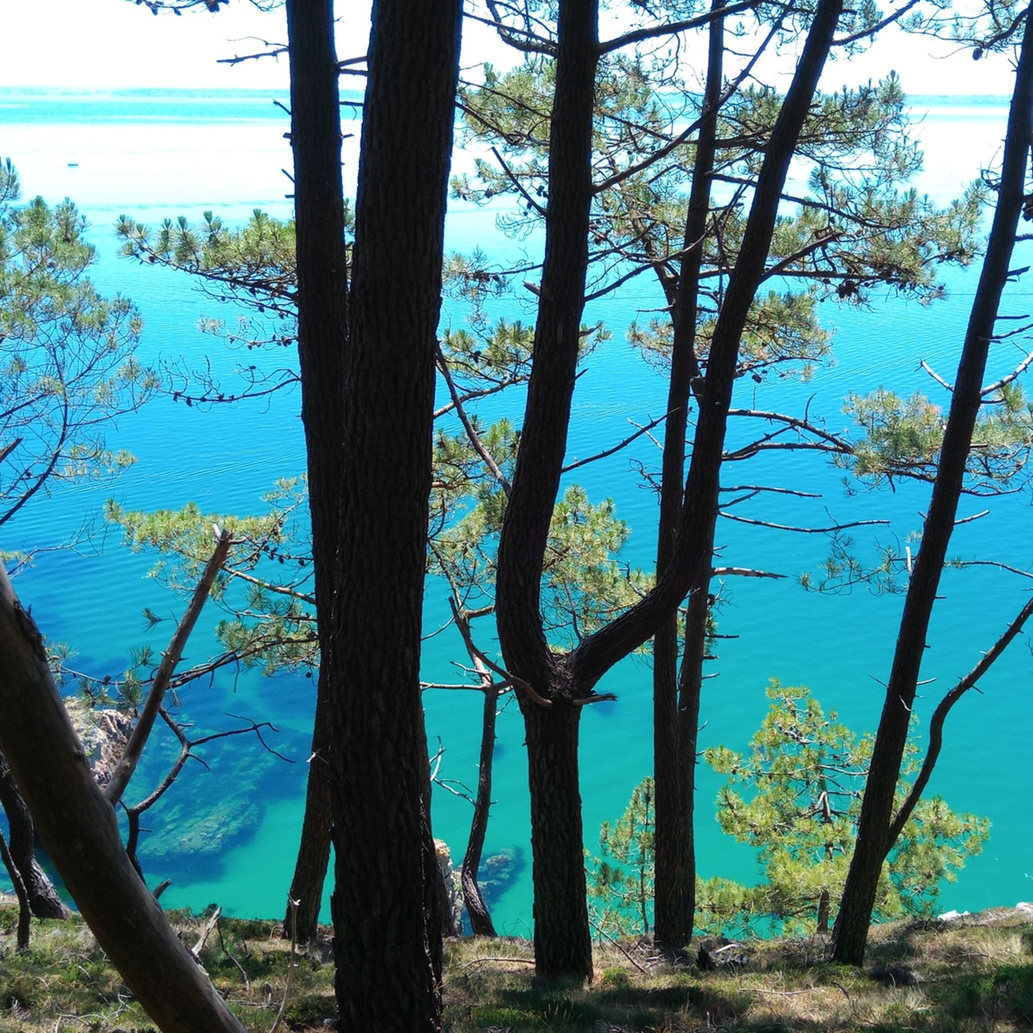
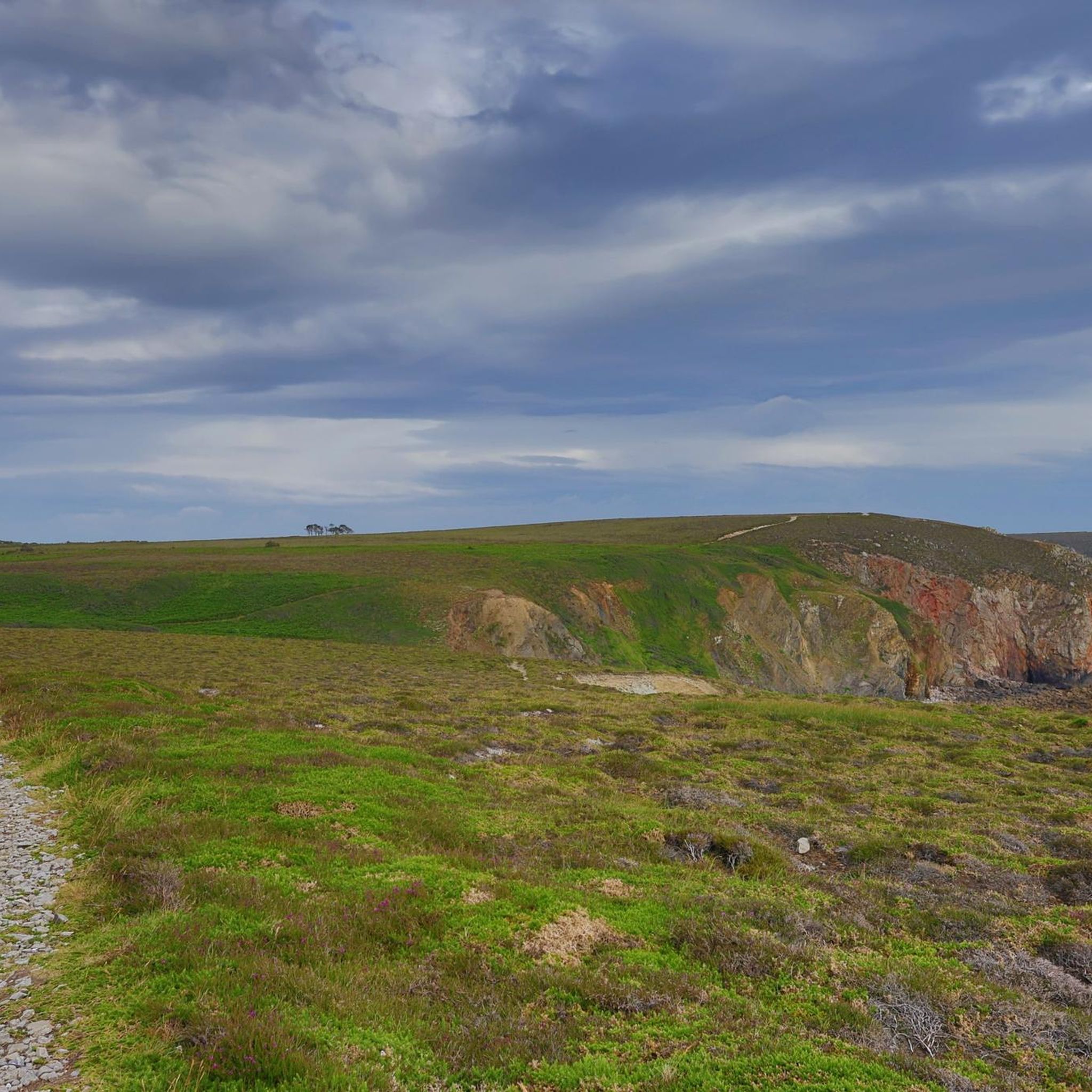
Other adventures around Châteaulin


Tips from the Community


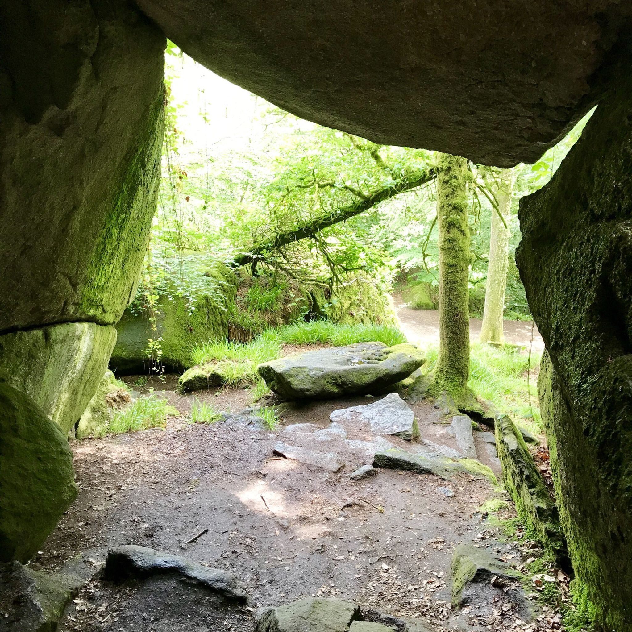
Band of ignoramuses, this is not a picnic area but a prehistoric site!
0
0

Hello Florent, friend, sports training, diet, 20kg
0
0

The Pointe de Toulinguet is a headland in Brittany. It is located at the end of the Crozon Peninsula in the municipality of Camaret-sur-Mer in Brittany. Toulinguet comes from the Breton "toul inged," which means "plover's hole." This toponym refers to one of the rocks in the sea that is perforated.
2
0
The pointe du Grand Gouin is a rocky promontory with vertical cliffs to the west of the inlet of Camaret-sur-Mer in France. It protects a port which, in Vauban's era, was vulnerable to possible landings. It is divided into the Grand Gouin (the top of the cliff) and the Petit Gouin (mid-cliff).
2
0

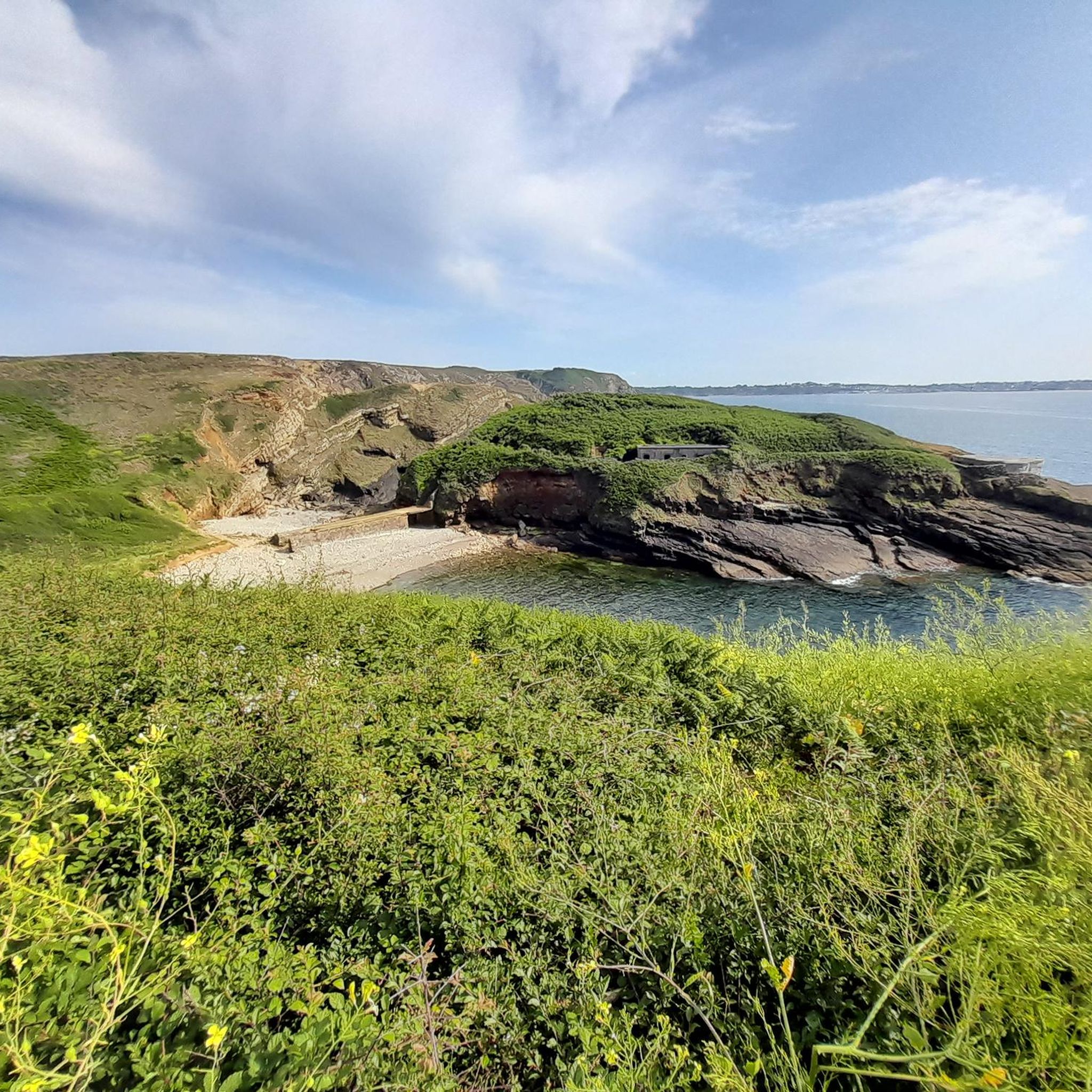
Following the coastal path, you will find the Kador fort as well as the remains of the Kador battery (1757), of which only a few traces on the ground and a piece of the vault of the powder magazine remain. At that time, there were no trees on the cliffs and visibility was perfect over the entire Morgat cove.
0
0

also suitable as a parkour course (for children) :-)
0
0
Frequently Asked Questions
How many hiking trails are available around Châteaulin?
Châteaulin offers a wide variety of hiking experiences, with over 1,000 routes available. These range from easy strolls along the canal to more challenging climbs in the hills, ensuring options for all skill levels.
What types of landscapes can I expect to see on hikes near Châteaulin?
The region around Châteaulin is incredibly diverse. You'll find verdant hills and extensive forests, particularly in areas like the Monts d'Arrée and Black Mountains. The Aulne river and Nantes-Brest Canal offer peaceful towpath walks, while dramatic coastal paths can be explored at locations such as Cap de la Chèvre, providing stunning Atlantic views.
Are there any easy, family-friendly hiking routes in the area?
Yes, Châteaulin has many easy routes suitable for families. The towpath along the Nantes-Brest Canal is ideal for leisurely strolls. For a specific easy route, consider the Île Vierge Sound Walk, which is an easy 2.8-mile (4.5 km) trail offering pleasant scenery.
Where can I find panoramic viewpoints on hikes around Châteaulin?
For breathtaking panoramic views, consider hiking to Ménez Hom or Montagne Saint-Michel, both offering expansive vistas of the surrounding countryside and coastline. The Cap de la Chèvre and Pointe de Pen-Hir are also excellent viewpoints along the coast.
Are there any circular walking routes near Châteaulin?
Yes, many routes in the Châteaulin area are circular, allowing you to start and end at the same point. An example is The peaks of Grande Gouin and Pen Hir — loop from Camaret-sur-Mer in the Armorique Regional Natural Park, a moderate 6.8-mile (10.9 km) trail offering coastal and park views.
Can I find trails with waterfalls around Châteaulin?
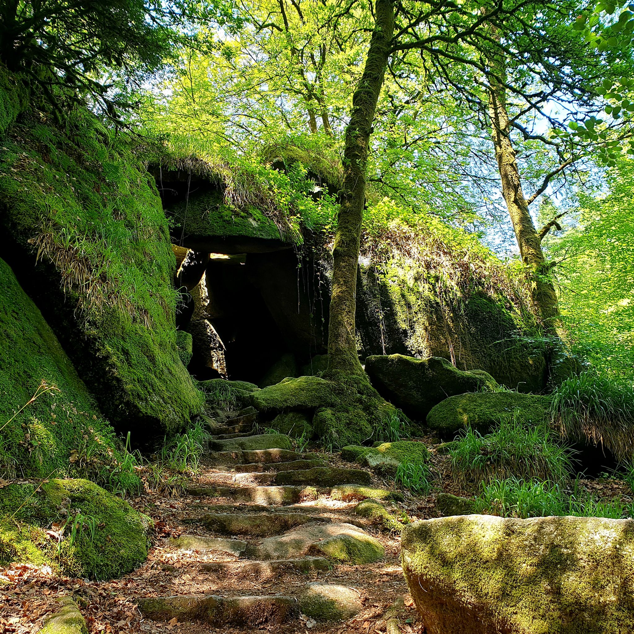
Yes, the region offers trails that feature natural attractions like waterfalls. The Gouffre de Huelgoat Waterfall – Huelgoat Forest loop from Huelgoat is a moderate 7.1-mile (11.5 km) route that takes you through the Huelgoat Forest, known for its unique rock formations and the impressive waterfall.
What is the best time of year to go hiking in Châteaulin?
The best time for hiking in Châteaulin is generally from spring through autumn. During these seasons, the weather is milder, and the natural landscapes, from blooming forests to coastal paths, are at their most vibrant. Summer offers pleasant conditions for coastal walks, while spring and autumn provide comfortable temperatures for exploring inland trails.
Are there any long-distance hiking options or coastal paths accessible from Châteaulin?
Yes, the famous Customs Officers' Path (GR 34), a long-distance coastal trail in Brittany, has sections accessible from the Châteaulin area. This path offers diverse coastal hiking experiences, allowing for longer treks along the dramatic coastline.
What do other hikers say about the trails in Châteaulin?
The trails around Châteaulin are highly regarded by the komoot community, with an average rating of 4.5 stars from over 8,900 reviews. Hikers often praise the diverse scenery, from the peaceful canal paths to the dramatic coastal cliffs, and the variety of routes suitable for different fitness levels.
Are there any specific natural monuments or attractions to look out for on hikes?
Beyond the general landscapes, you can discover several natural monuments. Highlights include the dramatic Cap de la Chèvre, the impressive Pointe de Pen-Hir, and unique geological features like the Trembling Rock and the Arch of Pointe de Dinan.
Are there any trails that explore the local forests?
Châteaulin is surrounded by extensive forests, offering many opportunities for woodland hikes. The Bois du Chap features several trails, and you can also explore the Forêt de Landévennec — loop from Landévennec in the parc naturel régional d'Armorique, a moderate 9-mile (14.5 km) route through a beautiful forested area.
What is the difficulty level of hikes in the Châteaulin area?
The hiking trails around Châteaulin cater to all difficulty levels. You'll find over 500 easy routes, nearly 470 moderate trails, and about 80 difficult options. This variety allows you to choose anything from a gentle riverside walk to a challenging coastal trek with significant elevation changes.
Most popular routes around Châteaulin
Most popular attractions around Châteaulin

Get inspired with the komoot mobile app


Didn’t find what you were looking for?
Check out more Hikes throughout Châteaulin below and find the perfect route in your destination.
Explore more
Browse the best Hikes in other regions.
