The best mountain hikes around Saint-André
4.9
(6)
16
hikers
3
hikes
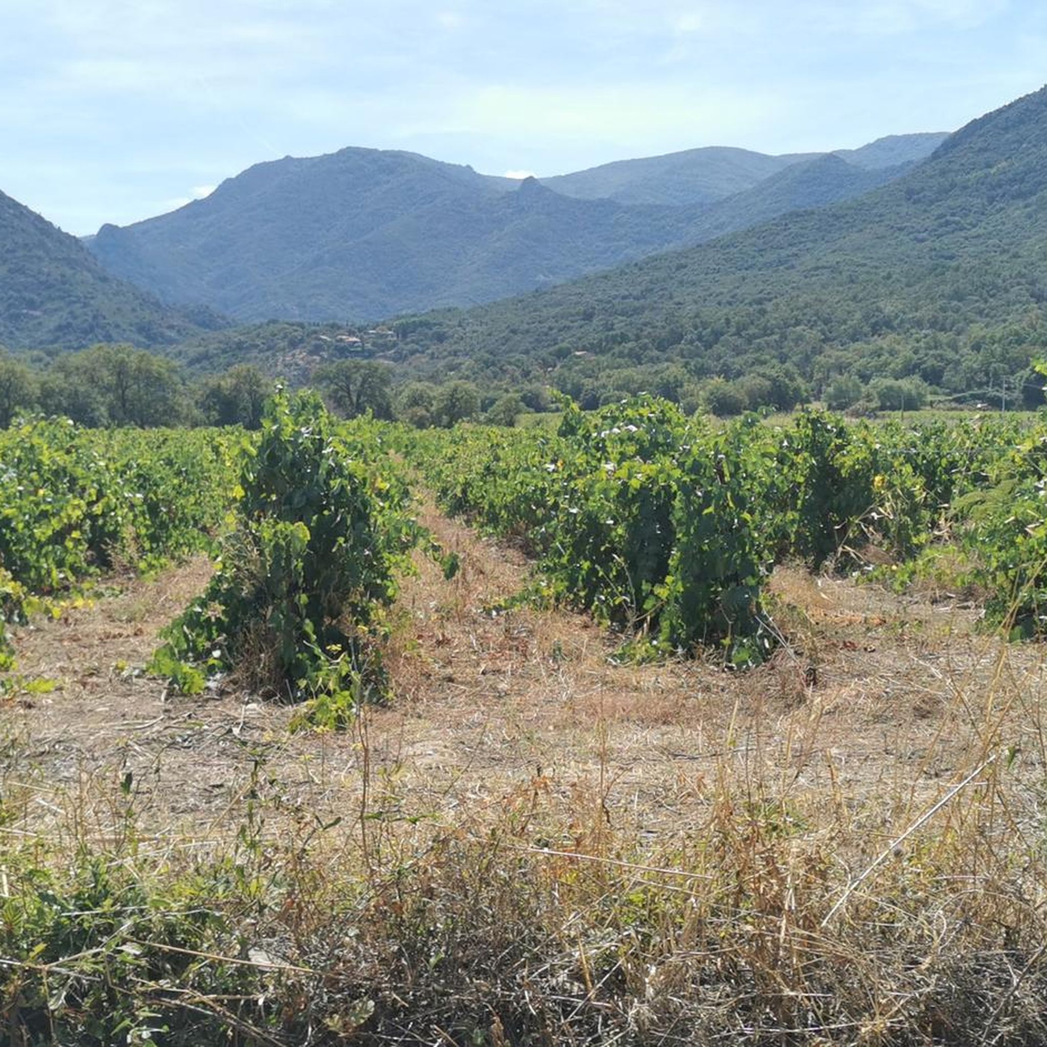
Mountaineering routes around Saint-André are characterized by the mountainous terrain surrounding Céret, featuring significant elevation changes and varied landscapes. The region offers access to peaks and ridges, providing opportunities for challenging ascents and panoramic views. These routes often traverse forested areas and open mountain slopes, typical of the Pyrenean foothills.
Best mountaineering routes around Saint-André
- The most popular mountaineering route is Tour de la Massane loop from Argelès-sur-Mer, a 7.5 miles (12.0 km) trail that takes 4 hours 25…
Last updated: May 23, 2026
5.0
(2)
10
hikers
12.3km
04:29
720m
720m
Moderate mountaineering route. Good fitness required. Mostly accessible paths. Sure-footedness required.
5.0
(1)
2
hikers
17.1km
06:53
1,210m
1,210m
Hard mountaineering route. Very good fitness required. Mostly accessible paths. Sure-footedness required.

Sign up for free
4.7
(3)
4
hikers
Moderate mountaineering route. Good fitness required. Easily-accessible paths. Suitable for all skill levels.
Our route recommendations are based on thousands of hikes, rides, and runs completed by other people on komoot.
Start today with a free account
Your next adventure awaits.
Login or Signup
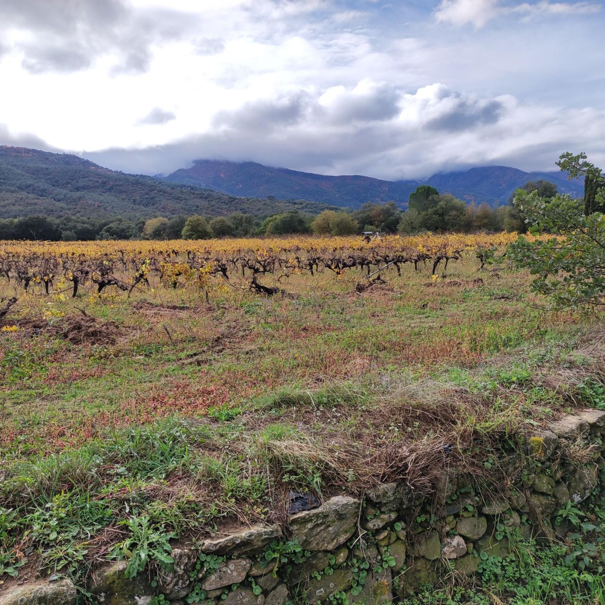
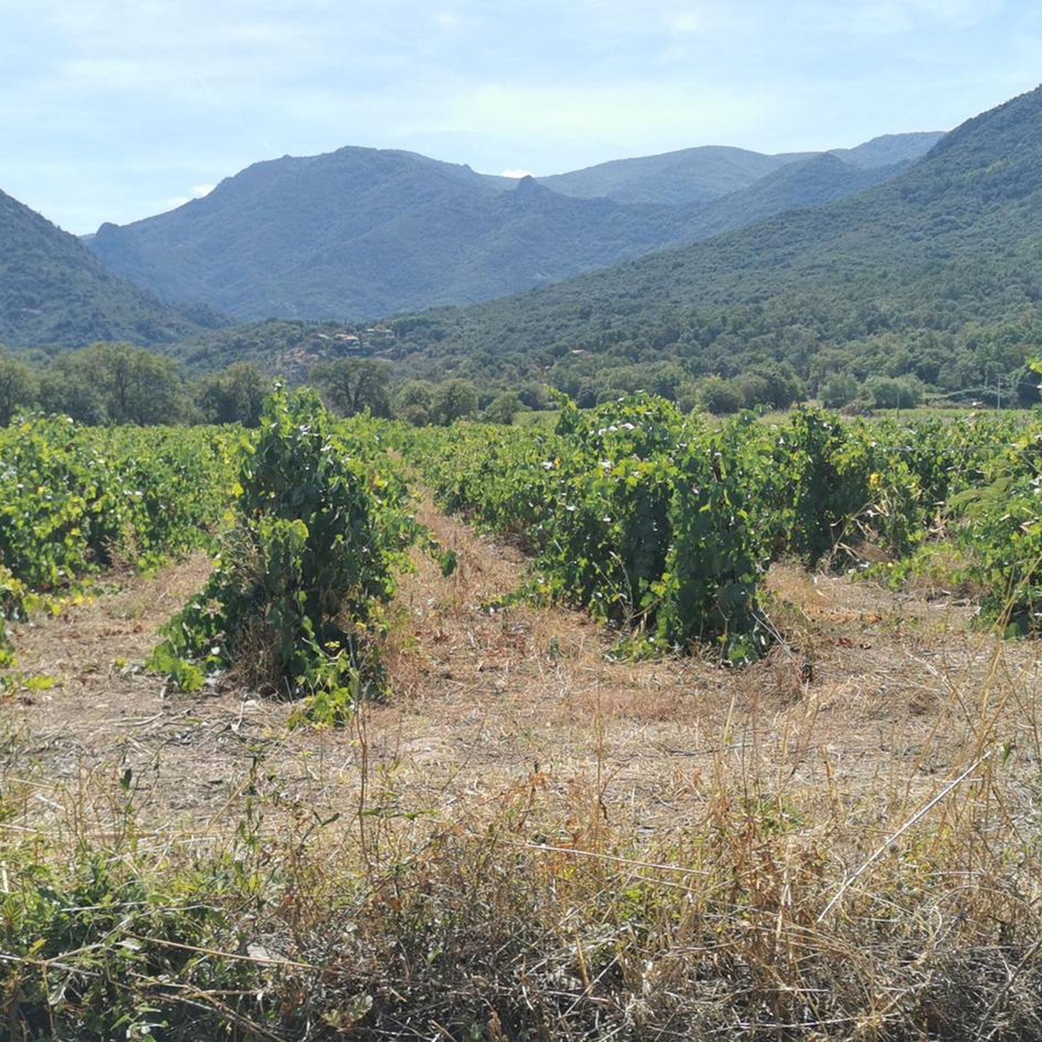
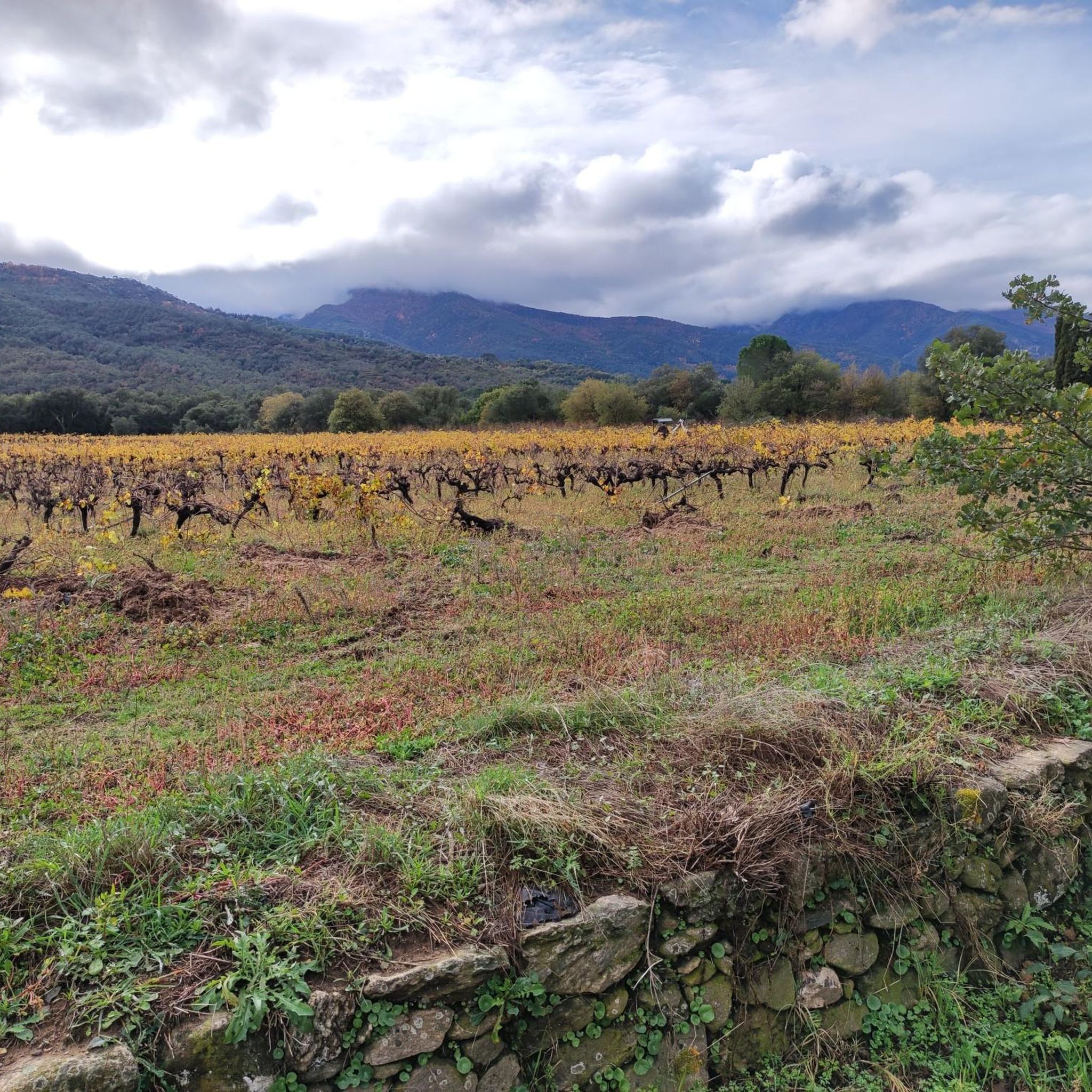
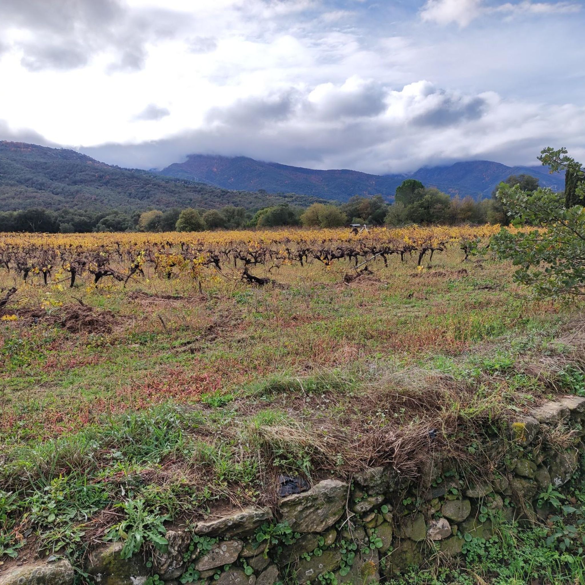

Tips from the Community

A long climb on a wide path, unfortunately after a few hundred meters, the descent was interrupted, the indicated path being closed by a chain with the words "private path".
0
0

Parc de Valmy – a rustic but very beautiful park. In summer, you can enjoy wine or beer in a small beer garden. There's a playground and seating for your own snack.
0
0

departure of the footpath to climb to La Massane
0
0

Built in the 13th century, its original function was to watch over the coast and warn of possible invasions. Today, it is a popular hiking destination due to its location on a hilltop that offers spectacular panoramic views.
0
0
It is located at an altitude of approximately 936 metres in the Albera mountain range in the Pyrénées-Orientales, France. It is accessible by road via a narrow, paved route, which climbs from Le Boulou and Laroque-des-Albères. The road offers panoramic views as it ascends through the forest.
3
0
At the Col de l'Ullat, there is also a refuge that offers basic services for hikers. Surrounded by forests and with panoramic views, it is an ideal place to enjoy nature and explore the region.
3
1
Frequently Asked Questions
How many mountaineering routes are available in Saint-André?
There are a selection of 3 mountaineering routes around Saint-André available on komoot, offering varied terrain and challenges.
Are there any easy or family-friendly mountaineering routes in Saint-André?
While there are no routes specifically graded as 'easy', the region offers moderate options that can be suitable for active families. The Puig de Sant Cristau loop from L'Albère is a moderate 3.5-mile (5.7 km) path with an elevation gain of about 450 meters, offering views of surrounding peaks and valleys.
What are the most challenging mountaineering routes in Saint-André?
For those seeking a significant challenge, the Puig Neulós – Pic d'Orella loop from Laroque-des-Albères is graded as difficult. This 10.7-mile (17.2 km) trail features a substantial elevation gain of nearly 1,200 meters, leading through high mountain passes and peaks, typically taking over 6 hours to complete.
Are there any circular mountaineering routes in Saint-André?
Yes, all the mountaineering routes listed for Saint-André are circular. For example, the Tour de la Massane loop from Argelès-sur-Mer is a 7.5-mile (12.0 km) trail that takes you through varied mountain terrain with a significant elevation gain.
What kind of landscapes and attractions can I expect to see along the mountaineering routes?
Mountaineering routes in Saint-André traverse forested areas and open mountain slopes, offering panoramic views of the Pyrenean foothills. You can explore notable peaks like Puig Neulós and Puig Saint-Christau Summit. The region also features historical sites such as the Tour de la Massane.
What do other mountaineers enjoy most about the routes in Saint-André?
The mountaineering routes in Saint-André are highly rated by the komoot community, with an average score of 4.8 stars from over 9 reviews. Reviewers often praise the diverse challenges, from moderate ascents to longer, difficult routes, and the varied terrain of mountain peaks, forested slopes, and open ridges.
Is it possible to spot wildlife while mountaineering in Saint-André?
The routes in Saint-André often traverse forested areas and open mountain slopes, which are typical habitats for various wildlife in the Pyrenean foothills. While specific sightings are never guaranteed, keeping an eye out for local fauna is part of the experience in these natural environments.
What is the typical duration for mountaineering routes in Saint-André?
The duration of routes varies depending on their length and difficulty. For instance, the moderate Puig de Sant Cristau loop from L'Albère typically takes around 2 hours 24 minutes, while the difficult Puig Neulós – Pic d'Orella loop from Laroque-des-Albères can take approximately 6 hours 52 minutes.
Are there any hidden gem mountaineering trails in the Saint-André area?
Beyond the most popular options, the Tour de la Massane loop from Château d'Ultrera offers a slightly different starting point and perspective on the Massane area. This moderate 7.2-mile (11.6 km) route provides another opportunity to explore the region's varied mountain terrain.
What is the best season for mountaineering in Saint-André?
Given the mountainous terrain and significant elevation changes in the Pyrenean foothills, spring and autumn generally offer the most favorable conditions for mountaineering in Saint-André, with milder temperatures and stable weather. Summer can also be suitable, especially at higher altitudes, but be prepared for warmer conditions. Winter mountaineering would require specific gear and experience due to potential snow and ice.
Most popular routes around Saint-André
Most popular attractions around Saint-André

Get inspired with the komoot mobile app


Explore more
Browse the best Mountain Hikes & Routes in other regions.
