The best walks and hikes around Saint-André
4.4
(3763)
27,684
hikers
448
hikes
Hiking around Saint-André offers diverse trails through a landscape characterized by hills, rocky outcrops, and Mediterranean vegetation. The region features varied terrain, from gentle paths to more challenging ascents, providing opportunities to explore its natural beauty. Hikers can expect routes that traverse woodlands and open areas, often leading to scenic viewpoints. The area's geology contributes to its distinct character, with elevations varying across its many paths.
Best hiking trails around Saint-André
- The most popular hiking route is Vue – Chapel…
Last updated: October 21, 2026
4.7
(11)
114
hikers
Moderate hike. Good fitness required. Easily walkable paths.
4.5
(23)
76
hikers
Easy hike. Easily walkable paths.

4.2
(9)
57
hikers
Moderate hike. Good fitness required. Easily walkable paths.
4.0
(2)
14
hikers
Moderate hike. Good fitness required. Mostly walkable paths. Sure-footedness required.
4.3
(3)
20
hikers
Moderate hike. Good fitness required. Mostly walkable paths. Sure-footedness required.
Get access to more routes and recommendations from other explorers.
Already have an account?
Our route recommendations are based on thousands of hikes, rides, and runs completed by other people on komoot.
Start today with a free account
Your next adventure awaits.
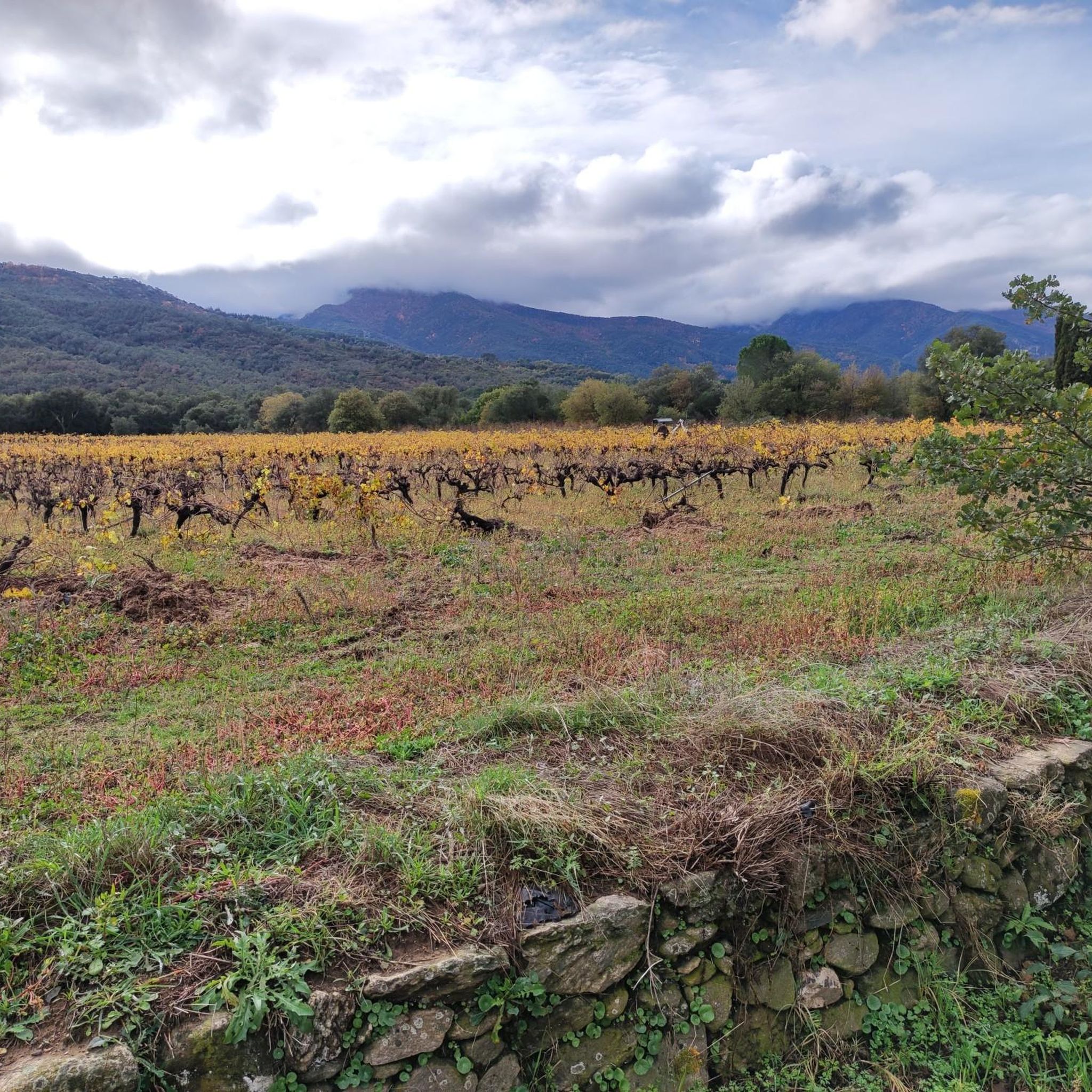
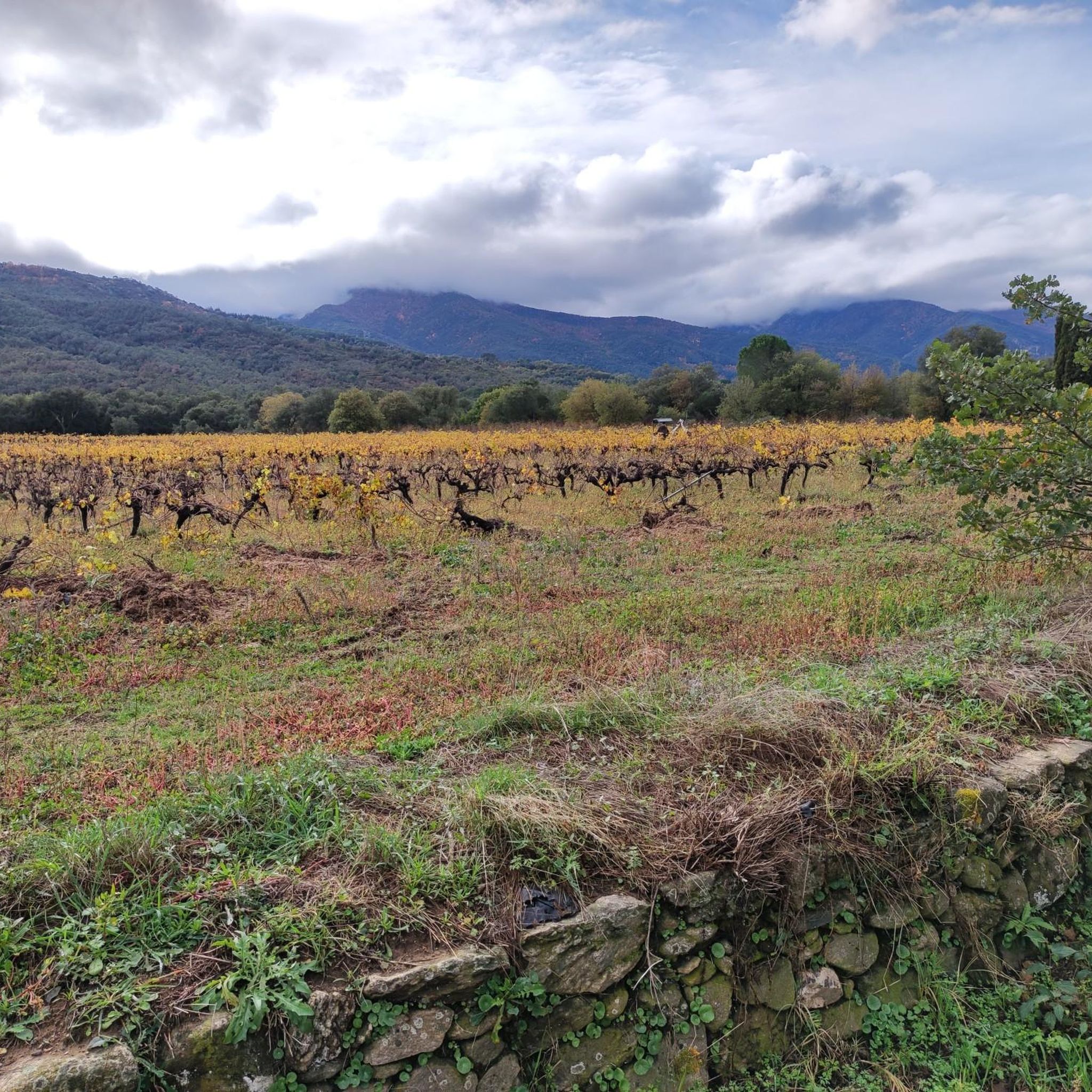
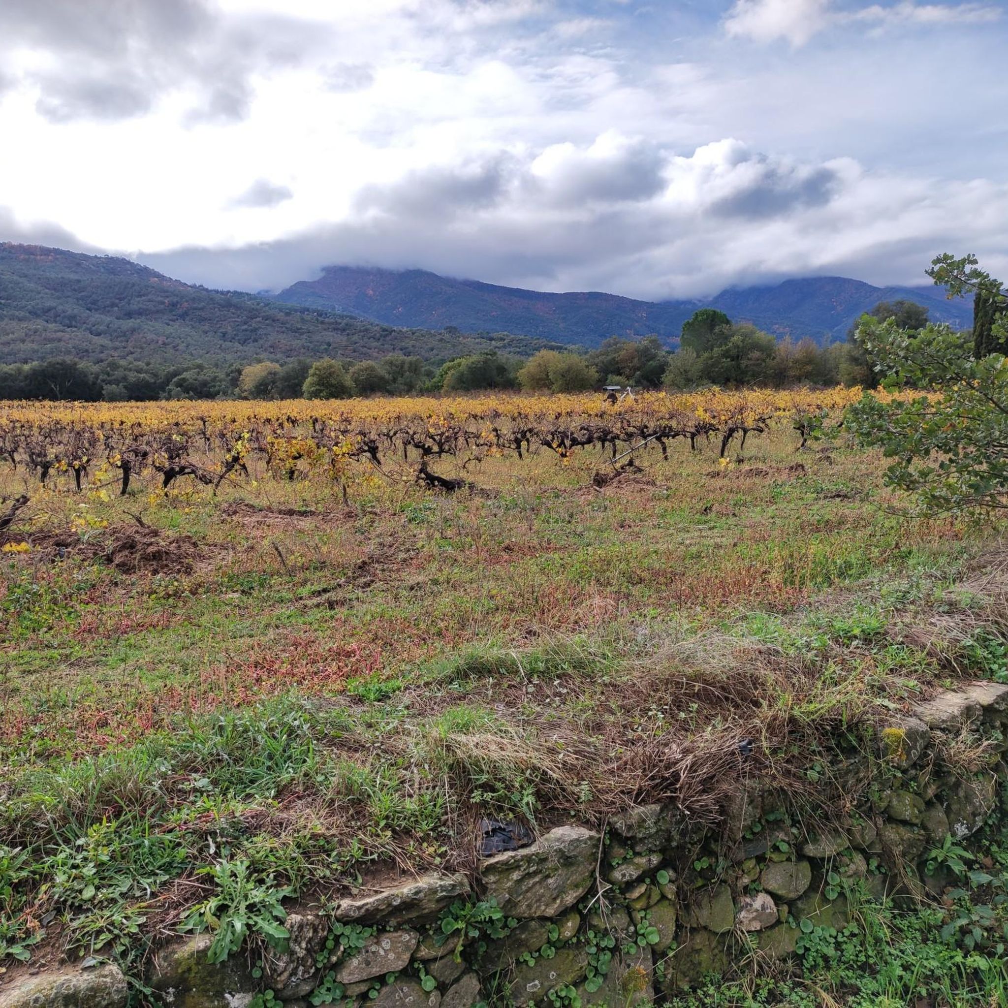

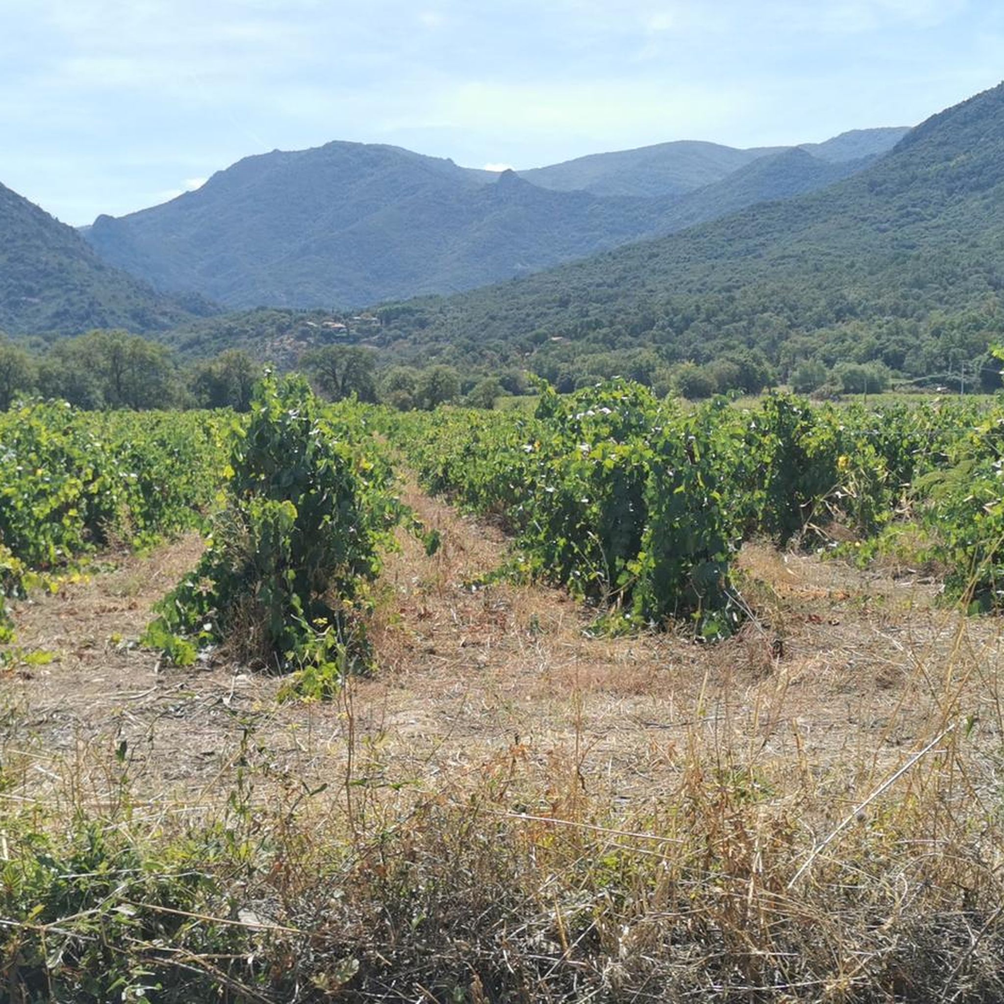

Tips from the Community

Parking prohibited at the starting point or along the road from 06/16 to 09/30. Possibility to park further down
0
0

Wall elements are still clearly visible. This is the start of the climb to the château and its ruins. Great view.
3
0
A quiet, simple chapel. It's an excellent place to stop on the way back. Shaded seating and inexpensive cold drinks invite you to linger. The staff are extremely friendly and helpful.
2
0

Departure at 7:00 a.m. from Valmy
0
0

departure of the footpath to climb to La Massane
0
0

Built in the 13th century, its original function was to watch over the coast and warn of possible invasions. Today, it is a popular hiking destination due to its location on a hilltop that offers spectacular panoramic views.
0
0
Frequently Asked Questions
How many hiking trails are available in Saint-André?
There are over 420 hiking routes around Saint-André, catering to various skill levels. You'll find a wide selection, from easy strolls to more challenging ascents through the region's hilly terrain and rocky outcrops.
What kind of terrain can I expect on hikes in Saint-André?
Hiking in Saint-André features diverse terrain, including hills, rocky outcrops, and areas with Mediterranean vegetation. Trails often traverse woodlands and open spaces, providing varied landscapes and scenic viewpoints.
Are there any easy hiking trails suitable for beginners in Saint-André?
Yes, Saint-André offers a good selection of easy trails. Approximately 185 routes are classified as easy, such as the Vue – Chapel trail loop from Chapelle Saint-Ferréol-de-la-Pave, which is about 3 miles long and takes around 1 hour 30 minutes to complete.
What are some notable landmarks or natural features to see while hiking in Saint-André?
The region is rich in natural and historical landmarks. You can explore historical chapels, enjoy views of rocky cliffs, and discover significant peaks. Highlights include Puig Neulós, Madeloc, and the View of the Côte Vermeille Cliffs. The Saint-Martin Romanesque church loop also takes you past historical sites.
Are there any circular hiking routes in Saint-André?
Yes, many trails in Saint-André are designed as loops. For example, the View of Rocky Cliffs – Four Solaire loop offers a moderate 6.7-mile circular route with varied terrain and scenic views.
What do other hikers say about the trails in Saint-André?
The hiking trails in Saint-André are highly regarded by the komoot community, holding an average rating of 4.4 stars from over 2900 reviews. Hikers frequently praise the varied terrain, scenic viewpoints, and the presence of historical chapels along the routes.
Are there any trails that offer views of rocky cliffs?
Absolutely. Several routes provide stunning views of the region's rocky cliffs. The View of Rocky Cliffs – Notre-Dame du Château loop from Sorède is a moderate 4-mile trail specifically known for these vistas.
Can I find trails that lead to mountain peaks in Saint-André?
Yes, the area around Saint-André includes several peaks that can be reached via hiking trails. Notable summits include Puig Neulós and Sallfort Peak, offering rewarding views from higher elevations.
What is the best time of year to go hiking in Saint-André?
Given the Mediterranean vegetation and hilly terrain, spring and autumn are generally ideal for hiking in Saint-André, offering pleasant temperatures and vibrant landscapes. Summers can be warm, while winters are typically mild, though some higher elevation trails might be affected by weather.
Are there any trails that pass by unique natural monuments?
Yes, you can discover unique natural monuments on your hikes. For instance, the Font de l'Ocell is a natural monument worth visiting, and the Fishermen's Huts at Étang de Canet–Saint-Nazaire offer a distinctive cultural landmark near the trails.
How long do hikes in Saint-André typically take?
Hike durations vary significantly. Easy trails like the Vue – Chapel trail loop can be completed in about 1 hour 30 minutes, while moderate routes such as the Puig de Sant Miquel – View of Rocky Cliffs loop might take around 3 hours 10 minutes.
Most popular routes around Saint-André
Most popular attractions around Saint-André

Get inspired with the komoot mobile app


Explore more
Browse the best Hikes in other regions.
