The best walks and hikes around Mont-Louis
4.6
(2765)
23,535
hikers
398
hikes
Hiking around Mont-Louis, a fortified town in the French Pyrénées-Orientales, offers diverse landscapes for outdoor activities. The region features trails along the Têt River, through forests, and towards significant mountain peaks. Hikers can explore varied terrain, from gentle riverbank paths to more challenging ascents in the Pyrenees. This area provides a blend of natural beauty and historical context, including UNESCO World Heritage fortifications.
Best hiking trails around Mont-Louis
- The most popular hiking route is Plà de Barrès River and Forest…
Last updated: August 18, 2026
4.6
(13)
238
hikers
Easy hike. Great for any fitness level. Easily-accessible paths. Suitable for all skill levels.
4.7
(45)
461
hikers
8.19km
02:06
30m
30m
Moderate hike. Good fitness required. Easily-accessible paths. Suitable for all skill levels.

Sign up for free
4.8
(14)
101
hikers
8.11km
02:10
90m
90m
Moderate hike. Good fitness required. Easily-accessible paths. Suitable for all skill levels.
5.0
(5)
36
hikers
Moderate hike. Good fitness required. Easily-accessible paths. Suitable for all skill levels.
4.2
(5)
68
hikers
6.85km
01:53
110m
110m
Easy hike. Great for any fitness level. Easily-accessible paths. Suitable for all skill levels.
Get access to more routes and recommendations from other explorers.
Sign up for free
Already have an account?
Our route recommendations are based on thousands of hikes, rides, and runs completed by other people on komoot.
Start today with a free account
Your next adventure awaits.
Login or Signup
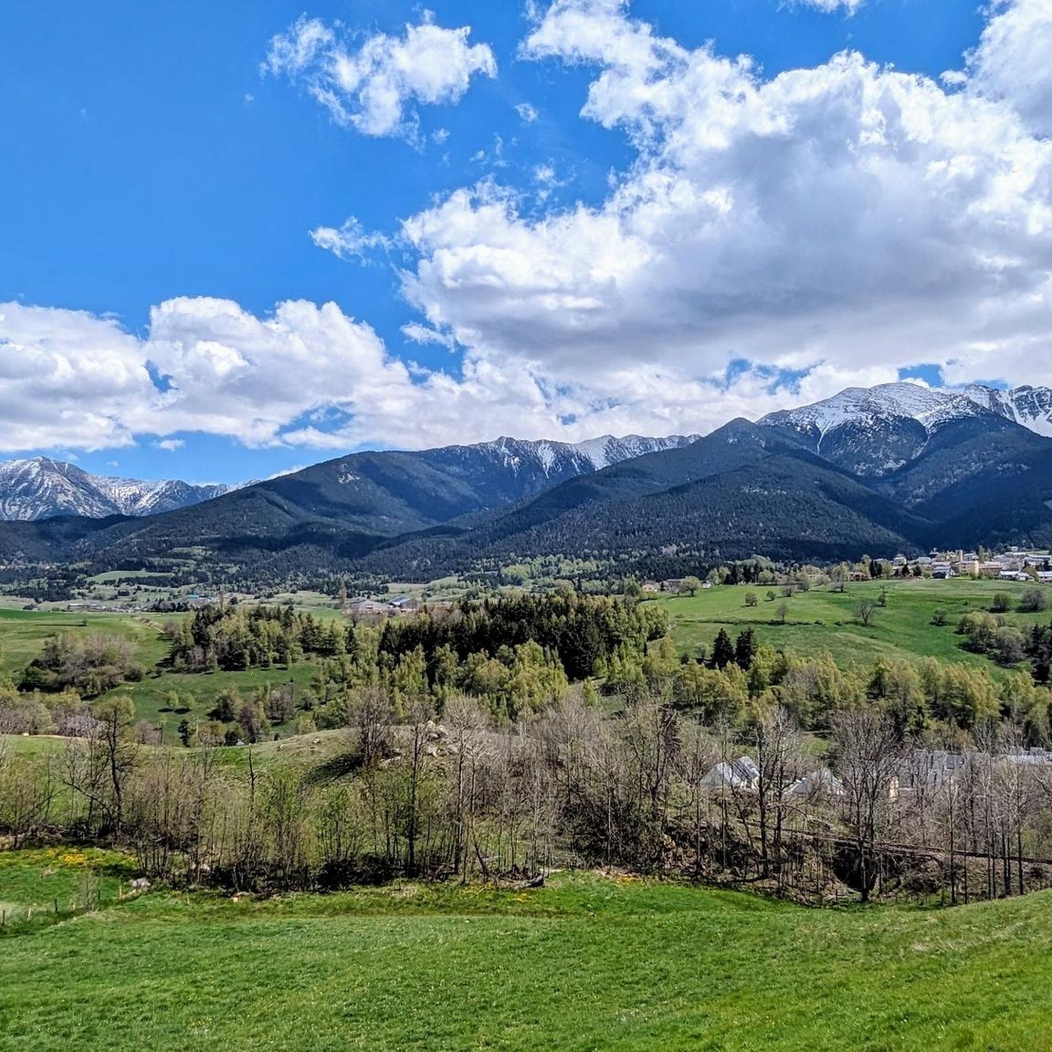
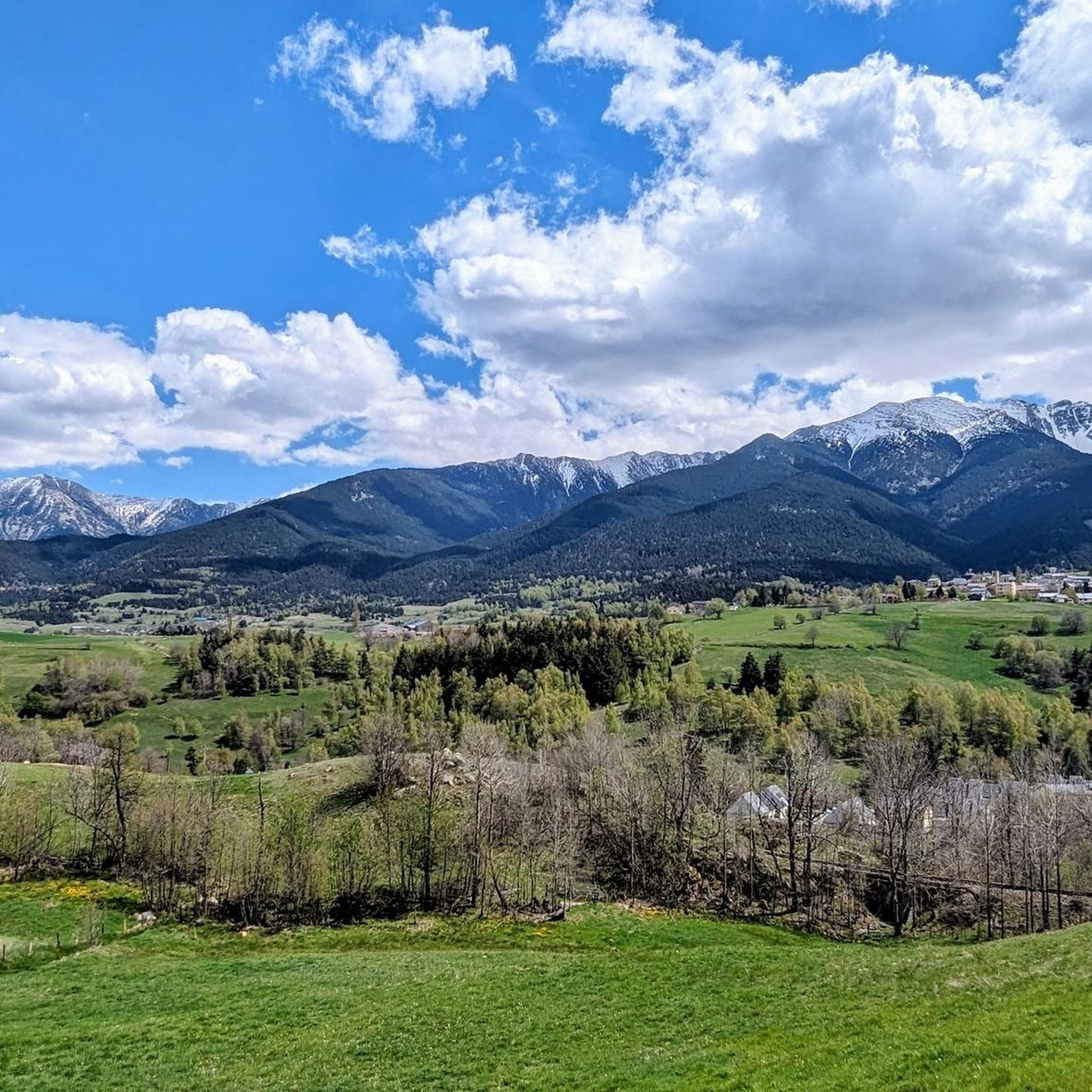
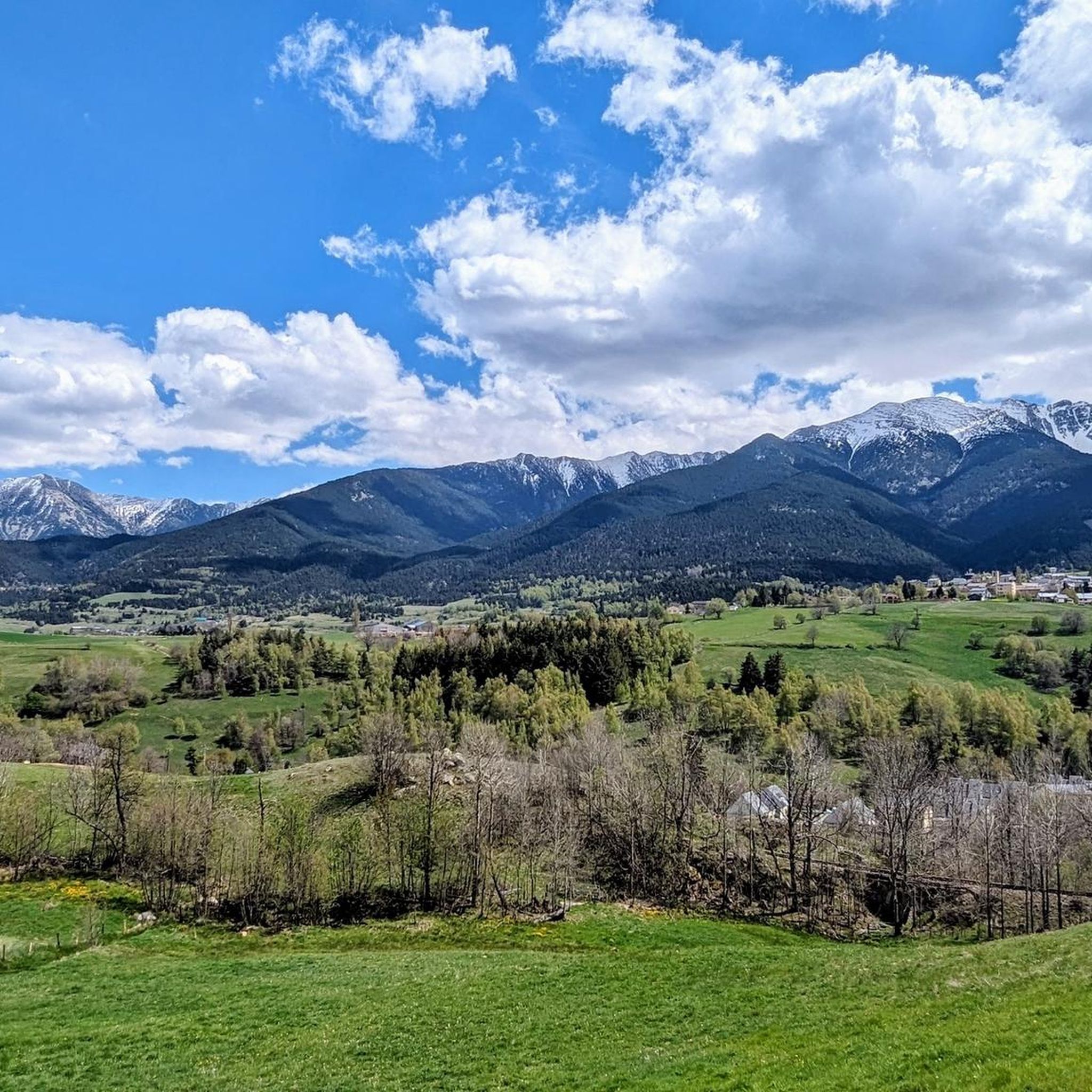
Tips from the Community

Barrès Observatory
0
0

bank on the campsite side much less busy between the two bridges.
0
0

Very good course with some technical passages but superb place you need a little mountain bike experience
2
0

This hiking section leads directly over a pasture. Important: you should keep a respectful distance from the animals. Never walk between a mother and her foal or calf. Be sure to close the enclosure carefully.
1
0
Beautiful hiking section, perfect for swimming and picnics. We walked directly in the river with the swimming shoes :)
0
1
Beautiful hiking section, perfect for swimming and picnics. We walked directly in the river with the swimming shoes :)
1
0

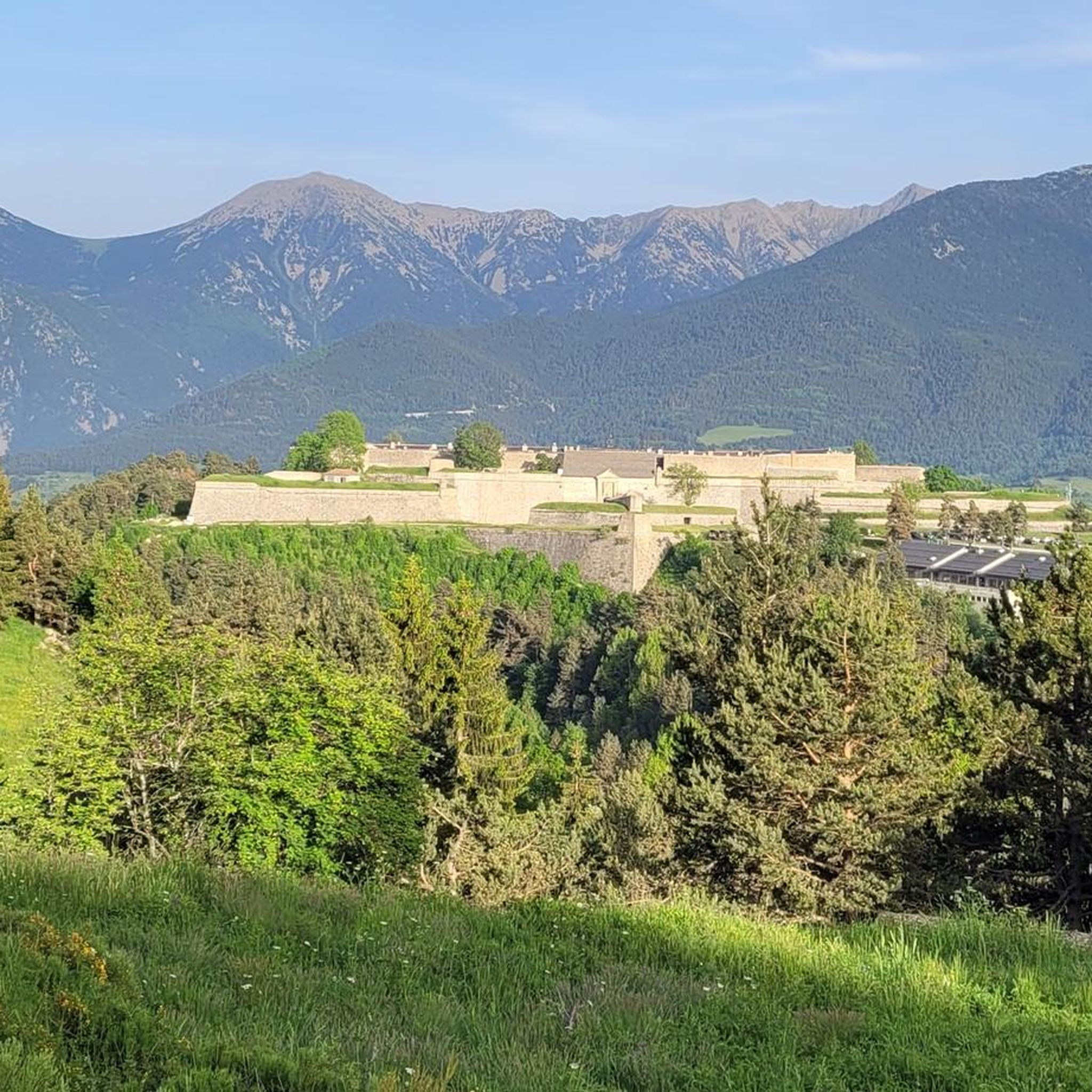
Interesting fortress, the upper part is still a restricted area. Of course by the fortress builder Vauban. More information: https://de.wikipedia.org/wiki/Mont-Louis?wprov=sfla1
3
0
Frequently Asked Questions
How many hiking trails are available around Mont-Louis?
Mont-Louis offers nearly 400 hiking trails, catering to all levels from easy strolls along riverbanks to challenging mountain ascents in the Pyrenees. The komoot community has highly rated these routes, with an average score of 4.6 stars from over 2,400 reviews.
Are there hiking trails suitable for beginners or those seeking an easy walk?
Yes, Mont-Louis has over 160 easy hiking trails. Many follow the Têt River, offering pleasant walks through forests and along riverbanks. A good example is the Plà de Barrès River and Forest – Têt Riverbank loop from Les Llúdries, which is an easy 3.6 km route.
What kind of challenging hikes can I find near Mont-Louis?
For experienced hikers, the region offers nearly 50 challenging routes, including ascents to significant peaks like Pic Carlit, the highest summit in the Pyrénées-Orientales, or Pic Péric. These trails often provide stunning 360° panoramas and views of alpine lakes like Lacs du Lanoux and Bouillouses.
Are there any family-friendly hiking options around Mont-Louis?
Absolutely. Beyond strenuous climbs, numerous yellow-marked paths connect Mont-Louis with nearby villages like Saint-Pierre-dels Forcats and Planès, offering 2 to 4-hour walks suitable for families. These routes are generally well-documented in local hiking guides and provide a gentler experience.
Can I bring my dog on the hiking trails in Mont-Louis?
Many trails in the Mont-Louis region are dog-friendly, especially those along riverbanks and through forests. However, it's always advisable to check specific trail regulations, especially in nature reserves or protected areas, and to keep your dog on a leash to protect local wildlife.
What natural features or landmarks can I expect to see while hiking?
The region boasts diverse natural beauty. You can explore riverbanks and forests along the Têt River, or venture to mountain peaks and picturesque alpine lakes like the Lake Matemale or the Estany de la Pradella. The area also features impressive gorges such as the Carança Corniche and its famous footbridges.
Are there any circular hiking routes available from Mont-Louis?
Yes, many routes around Mont-Louis are designed as loops, allowing you to start and end in the same location. For example, the Plà de Barrès River and Forest – Along the Têt river loop from Mont-Louis is an easy 7.6 km path that follows the Têt River, offering scenic views of the riverbanks and woodlands.
What historical sites or unique attractions can be found along the trails?
Hikers can explore the exterior of Mont-Louis's UNESCO-listed fortifications via the 'Tour des remparts' path, which encircles the town. You might also encounter the iconic Yellow Train (Train Jaune) as some trails run alongside its tracks. The Hamlet of Mills at La Cabanasse, with its historical flour mills, also offers a glimpse into the area's past.
Are there any longer hikes suitable for a half-day or full-day adventure?
Yes, for longer excursions, consider routes that connect Mont-Louis with nearby areas. The Gare de la Cabanasse Mural – Porte de France, Mont-Louis loop from Mont-Louis - La Cabanasse is a moderate 12.3 km hike, taking around 3 hours 27 minutes, offering a substantial half-day adventure through varied terrain.
What is the best time of year to go hiking in Mont-Louis?
The Mont-Louis region offers hiking opportunities across different seasons. Spring and autumn provide pleasant temperatures and vibrant landscapes, ideal for most trails. Summer is excellent for higher-altitude routes, though some lower trails can be warm. Winter hiking is possible, especially on lower-elevation paths, but requires appropriate gear and caution for snowy or icy conditions in the mountains.
Is there public transport available to access hiking trails from Mont-Louis?
The iconic Yellow Train (Train Jaune) can be integrated into hiking plans, with some trails running alongside its tracks or starting from its stations. This narrow-gauge railway offers scenic journeys and can provide access to various trailheads throughout the region, such as a popular hike starting in Thues-Entre-Valls and concluding in Mont-Louis.
Where can I find parking when hiking around Mont-Louis?
Mont-Louis and its surrounding villages typically offer designated parking areas for visitors. For specific trailheads, it's often best to check local signage or consult detailed hiking maps, as parking availability can vary. Many routes, like the Porte de France, Mont-Louis – Têt Riverbank loop from Mont-Louis, are accessible directly from the town, where parking options are available.
Most popular routes around Mont-Louis
Most popular attractions around Mont-Louis

Get inspired with the komoot mobile app


Explore more
Browse the best Hikes in other regions.
