The best road cycling routes around Géovreisset
4.5
(127)
3,183
riders
180
rides
Road cycling routes around Géovreisset are situated in the Ain department, offering access to the varied terrain of the Haut-Bugey region and the Jura mountains. This area is characterized by a mix of challenging climbs, scenic valleys, and picturesque lakes. Cyclists can navigate routes through limestone cliffs, dense forests, and along river valleys like the Valserine, providing diverse landscapes for exploration. The eastern part of the Ain department, where Géovreisset is located, is known for its relatively steep passes.
Best…
Last updated: July 4, 2026
11
riders
79.6km
04:19
1,590m
1,590m
Hard road ride. Very good fitness required. Mostly well-paved surfaces and easy to ride.
1
riders
124km
06:50
2,660m
2,660m
Hard road ride. Very good fitness required. Mostly well-paved surfaces and easy to ride.

Sign up for free
3.6
(5)
78
riders
49.5km
02:12
390m
390m
Moderate road ride. Good fitness required. Mostly well-paved surfaces and easy to ride.
5.0
(2)
60
riders
56.5km
02:36
560m
560m
Moderate road ride. Good fitness required. Mostly well-paved surfaces and easy to ride.
4.0
(1)
41
riders
35.3km
01:46
540m
540m
Moderate road ride. Good fitness required. Mostly well-paved surfaces and easy to ride.
Get access to more routes and recommendations from other explorers.
Sign up for free
Already have an account?
Our route recommendations are based on thousands of hikes, rides, and runs completed by other people on komoot.
Start today with a free account
Your next adventure awaits.
Login or Signup

Tips from the Community

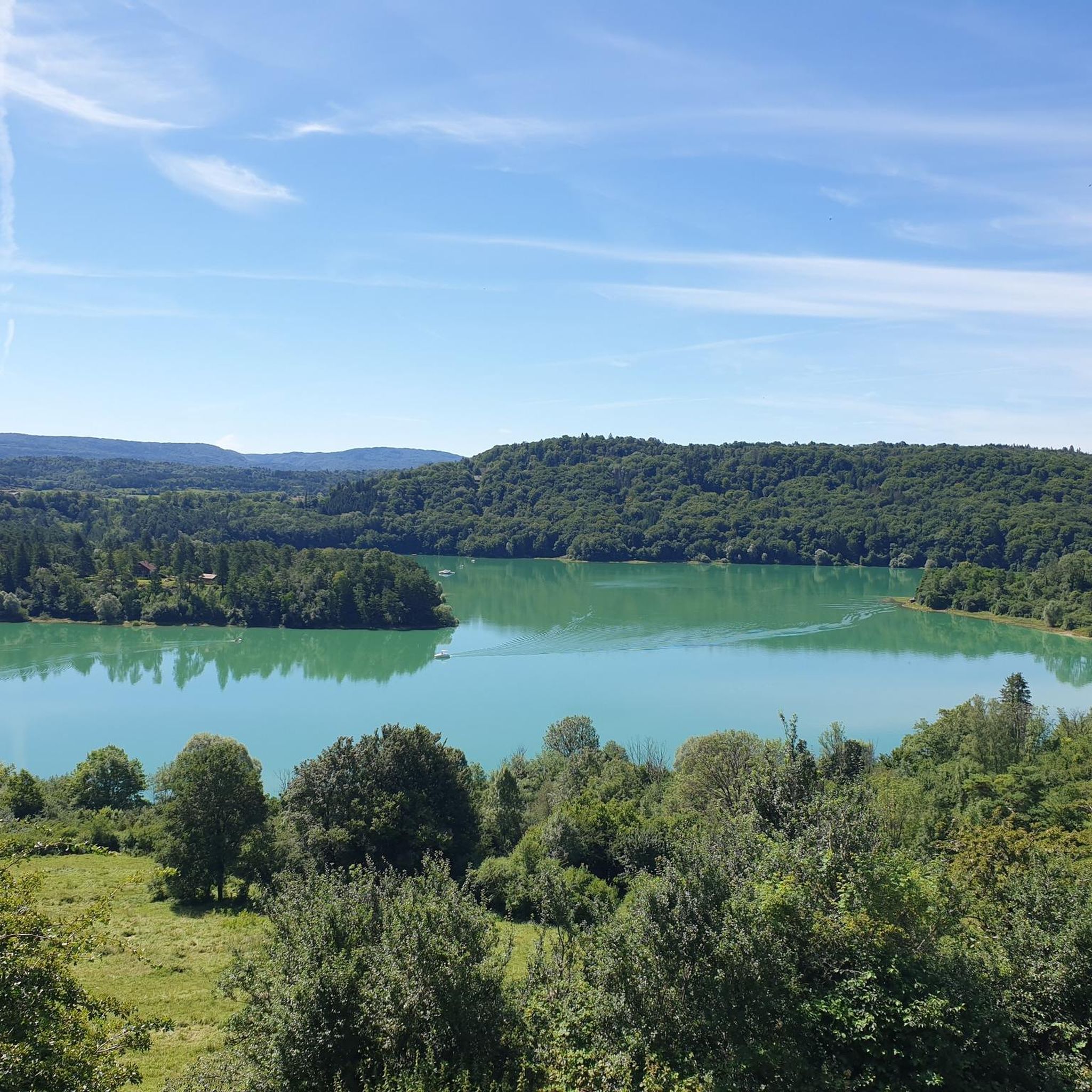
The Lac de Nantua is a superb body of water of 141 hectares. In the heart of the Jura, it offers an ideal setting for practicing a multitude of sports. It is even possible to swim in its waters.
1
0

pretty small stone viaduct with 2 superimposed lanes, one for cars with 6 arches and one for the train with 11 arches. Atypical.
0
0

A must-see in Ain! It’s a chance to experience some elevation gain!
0
0

A must-see on the banks of the Ain
0
0

Beautiful, simple, easy walk; lots of traffic noise on the "road" section, a bit of a shame, but the color of the water is magical
1
0


Beautiful view of the Ain Valley and this viaduct is magnificent. The lower part is suitable for cycling.
0
0

Unfortunately I was unlucky with the weather, but even as I drove past the place looked very nice, lots of grass and a place to swim.
0
0
Frequently Asked Questions
How many road cycling routes are available in Géovreisset?
Géovreisset offers a wide selection of road cycling routes, with over 170 tours available. These routes cater to various skill levels, including 7 easy, 59 moderate, and 111 difficult options, ensuring there's a ride for every cyclist.
What kind of terrain can I expect on road cycling routes around Géovreisset?
Road cycling around Géovreisset features diverse terrain, shaped by the Jura mountains, the Haut-Bugey region, and the Valserine Valley. You can expect a mix of challenging climbs, relatively steep passes, scenic valleys, and picturesque lakes. Routes often navigate through limestone cliffs, dense forests, and along river valleys.
Are there road cycling routes suitable for beginners in Géovreisset?
Yes, while the region is known for its challenging terrain, there are 7 easy road cycling routes available in Géovreisset. These routes typically offer more moderate loops, often around lakes, providing a gentler introduction to the area's beautiful landscapes.
Where can I find challenging road cycling routes in Géovreisset?
For experienced cyclists seeking a challenge, Géovreisset offers 111 difficult road cycling routes. These often feature substantial elevation gain and steep passes, particularly in the eastern part of the Ain department. A notable difficult route is the Ain Valley and Lakes Loop from Oyonnax, which covers nearly 80 km with significant climbing.
Are there any circular road cycling routes around Géovreisset?
Yes, many of the road cycling routes in Géovreisset are designed as loops, allowing you to start and finish in the same location. Examples include the Lac de Nuanta – View of Lake Nantua loop from Géovreisset and the extensive Lac de Coiselet — loop from Oyonnax.
What scenic viewpoints or natural attractions can I see along road cycling routes?
Géovreisset's road cycling routes often pass by stunning natural attractions. You can enjoy views of Lake Nantua and Lake Genin. Some routes may also offer glimpses of the Chancia Viewpoint or the impressive Cascade de la Pisse Vache waterfall.
Are there routes that pass by lakes in the Géovreisset area?
Absolutely. The region is known for its beautiful lakes, and several road cycling routes incorporate them into their scenic paths. You can cycle around Lake Nantua, as seen in the Lac de Nuanta – View of Lake Nantua loop from Géovreisset, or explore the extensive area around Lake Coiselet with routes like the Lac de Coiselet – Thoirette on the Ain River loop from Bellignat.
What is the best season for road biking in Géovreisset?
The best season for road biking in Géovreisset is typically from spring through autumn. During these months, the weather is generally more favorable, and the natural landscapes are at their most vibrant. The region's relatively steep passes can be more challenging in winter due to colder temperatures and potential ice or snow.
What do other road cyclists enjoy most about the routes in Géovreisset?
The road cycling routes in Géovreisset are highly rated by the komoot community, with an average score of 4.6 stars from over 100 reviews. Cyclists frequently praise the varied terrain, from challenging climbs to scenic lake loops, and the stunning natural beauty of the Jura mountains and Valserine Valley.
Is parking available near road bike trails in Géovreisset?
While specific parking locations are not detailed for every route, many road cycling routes in Géovreisset start from towns like Oyonnax or Géovreisset itself, where public parking facilities are generally available. It's advisable to check local parking options for your chosen starting point before your ride.
Are there any historical landmarks or points of interest along the road cycling routes?
Beyond natural beauty, the Géovreisset area offers points of historical interest. For example, you might encounter the Oliferne Castle Ruins or the intriguing Grotte de Corveissiat, adding a cultural dimension to your ride.
Most popular routes around Géovreisset
Most popular attractions around Géovreisset

Get inspired with the komoot mobile app


Explore more
Browse the best Road cycling routes in other regions.
