The best walks and hikes around Géovreisset
4.4
(539)
3,375
hikers
101
hikes
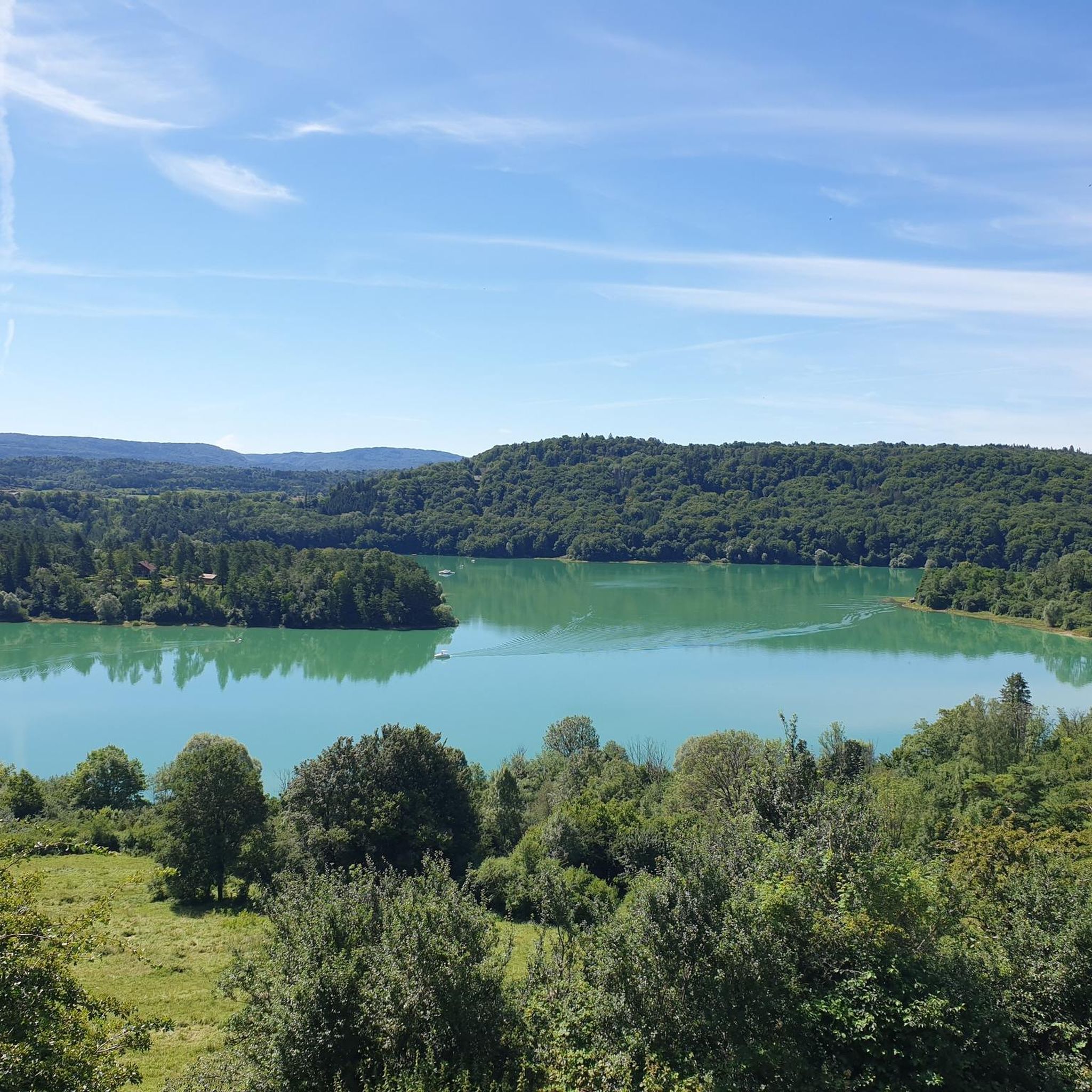
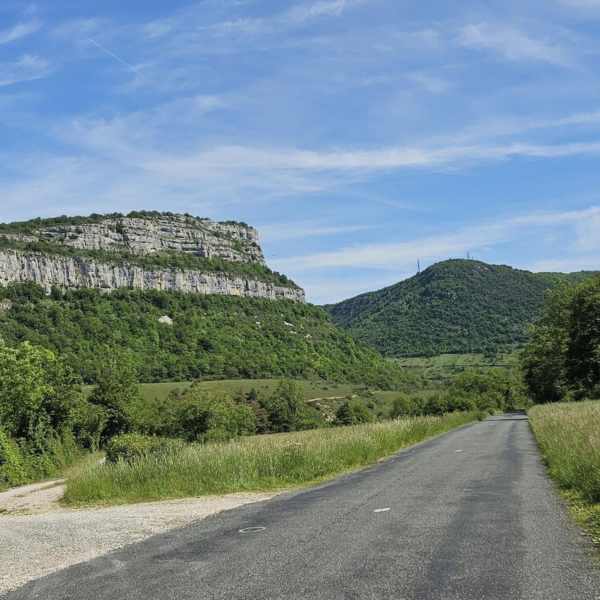
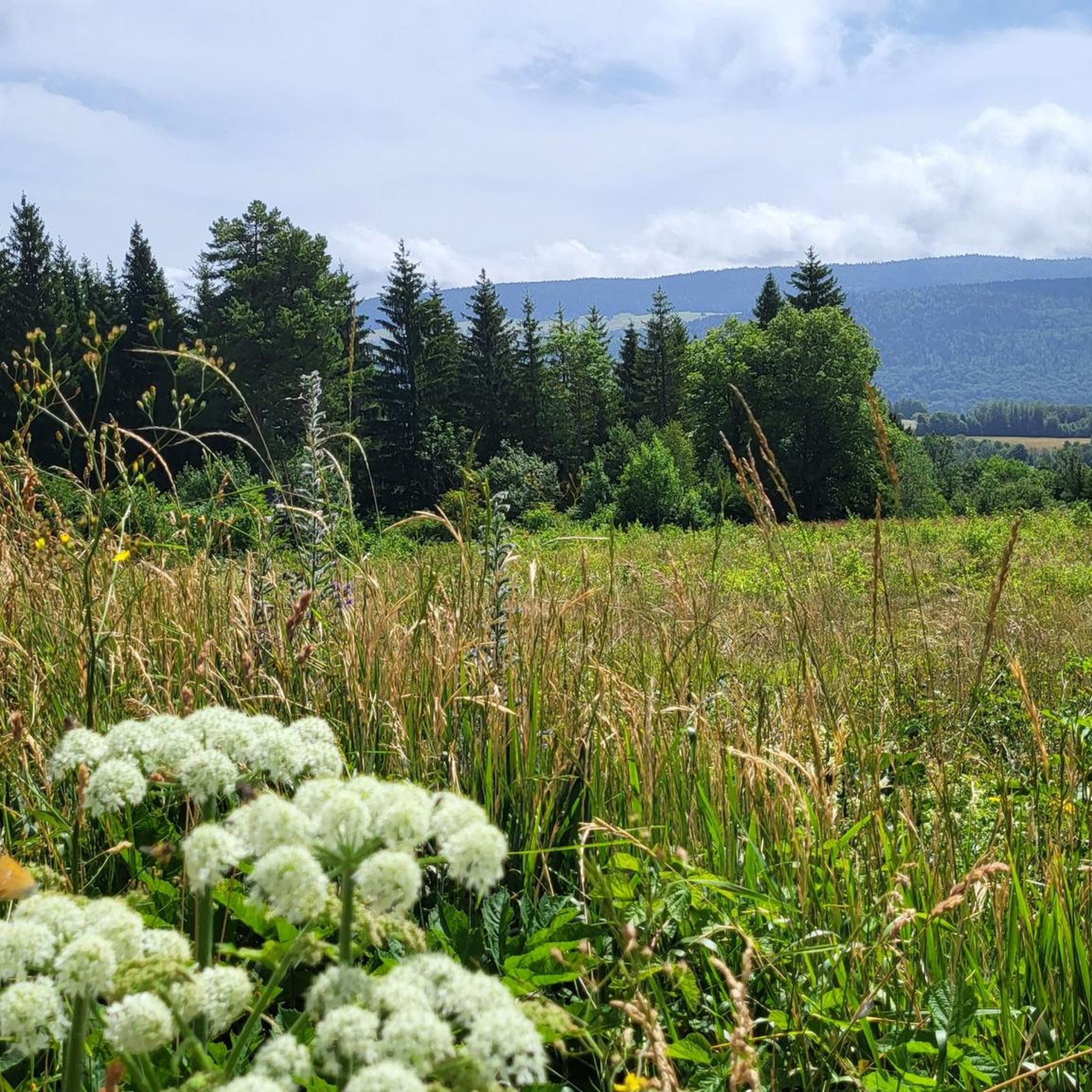
Hiking around Géovreisset offers diverse terrain within the Haut-Bugey region, characterized by its proximity to the Jura Mountains. The landscape features a mix of forests, plateaus, and picturesque lakes such as Lake Genin and Lake Sylans. Hikers can explore varied elevations, from gentle valley paths along the Sarsouille river to more challenging ascents providing panoramic views of the surrounding area. This natural environment provides a range of hiking experiences for different skill levels.
Best hiking trails around Géovreisset
- The most…
Last updated: July 11, 2026
4.8
(6)
70
hikers
7.69km
02:12
180m
180m
Moderate hike. Good fitness required. Easily-accessible paths. Suitable for all skill levels.
4.5
(2)
15
hikers
13.8km
04:28
580m
580m
Moderate hike. Good fitness required. Easily-accessible paths. Suitable for all skill levels.

Sign up for free
4.3
(4)
38
hikers
15.0km
04:42
570m
570m
Moderate hike. Good fitness required. Easily-accessible paths. Suitable for all skill levels.
4.3
(3)
12
hikers
26.0km
08:06
940m
940m
Hard hike. Very good fitness required. Easily-accessible paths. Suitable for all skill levels.
1.0
(1)
9
hikers
5.25km
01:25
70m
70m
Easy hike. Great for any fitness level. Easily-accessible paths. Suitable for all skill levels.
Get access to more routes and recommendations from other explorers.
Sign up for free
Already have an account?
Our route recommendations are based on thousands of hikes, rides, and runs completed by other people on komoot.
Start today with a free account
Your next adventure awaits.
Login or Signup

Tips from the Community

Good alternative to the road. It's steeper, more rocky and forested, and there are several small streams along it, so it's much nicer to connect Géovreisset and the Forge district on foot.
0
0
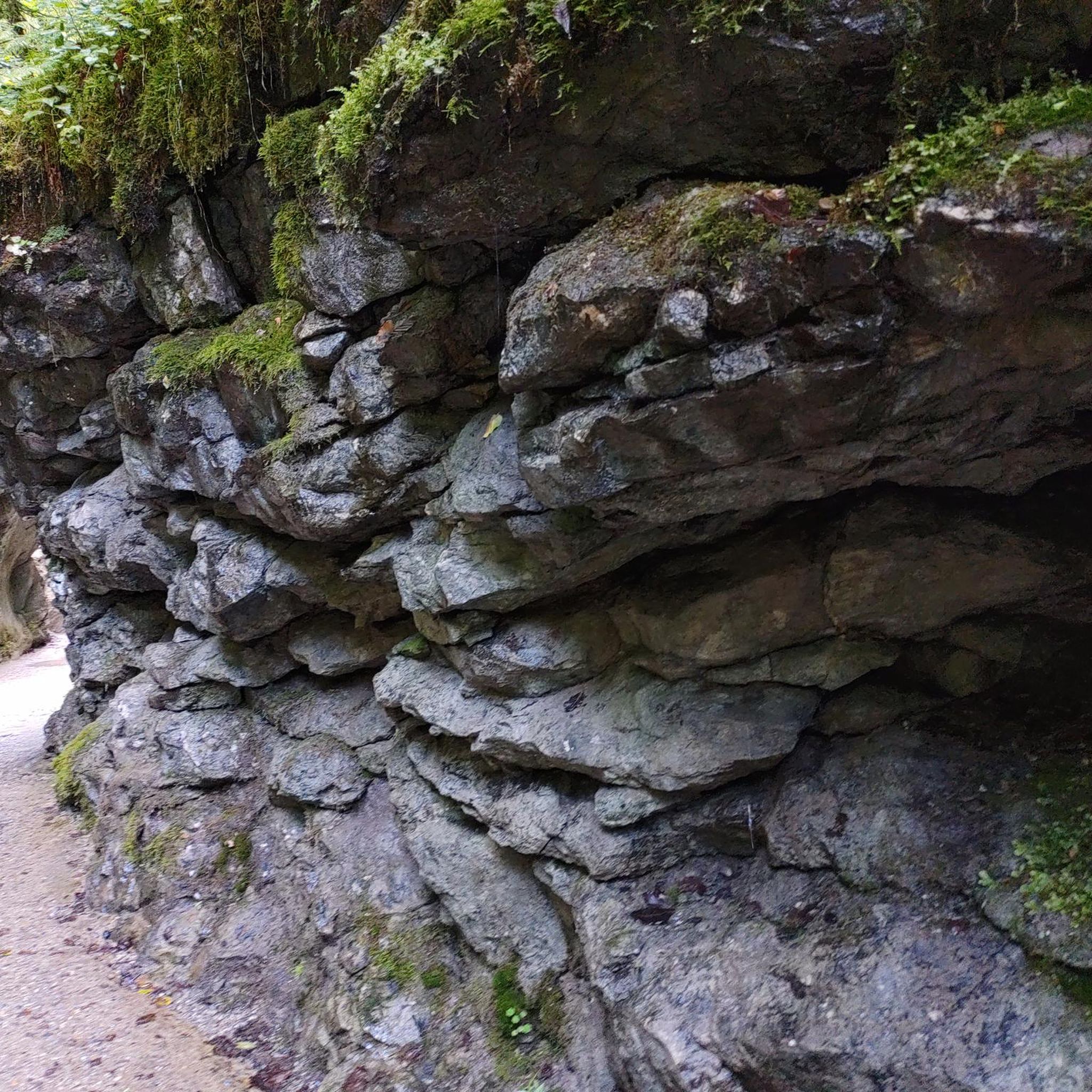
Magnificent walking circuit along the Sarsouille. The river is still a torrent in a deep valley, in the middle of the forest. It's a stone's throw from the center of Oyonnax.
0
0


Nicknamed the little Canada of Haut-Bugey, this mountain lake, with its alpine firs and turquoise waters, is an ideal destination in the Ain for a bike ride. At 850 meters altitude, surrounded by conifers, this lake offers a moment of freshness on beautiful days and can be a place for ice skating in winter (skate rental at the Auberge du Lac Genin).
3
0

A very pretty lake. Possibility in winter, if the conditions are present, to skate on the lake.
1
0
Frequently Asked Questions
How many hiking trails are available around Géovreisset?
There are over 100 hiking routes around Géovreisset, catering to various skill levels. You'll find a good mix of easy strolls, moderate paths, and more challenging ascents through the diverse landscapes of the Haut-Bugey region.
What types of landscapes can I expect to see while hiking near Géovreisset?
Hikers around Géovreisset can experience a rich variety of landscapes. The region features serene lake settings like Lake Nantua and Lake Genin, dense forests, expansive plateaus such as the Plateau de Retord, and mountainous terrain offering panoramic views of the Jura Mountains and even the Alps.
Are there any easy hiking routes suitable for beginners or families?
Yes, Géovreisset offers several easy hiking options. For a gentle introduction, consider the Hiking loop from Oyonnax, which is about 5.2 km long. These routes are generally less strenuous and ideal for a relaxed outing.
Where can I find routes with good viewpoints around Géovreisset?
The region is known for its stunning vistas. For expansive views, try the Viewpoint – Le Pré Rond loop from Géovreisset, which includes a steady climb to a scenic lookout. Other notable viewpoints in the wider Haut-Bugey area include the Beauregard lookout, offering views of the Alpine chain, and the Chancia Viewpoint.
Are there any circular hiking routes in the area?
Yes, many trails around Géovreisset are designed as circular routes. A popular option is the Sarsouille Valley loop from Oyonnax, a moderate 7.6 km trail that offers views of the valley and woodlands. Another longer circular option is the Sarsouille Valley – Mollard Rond PDV Côté Oyonnax loop from Oyonnax.
Can I find hiking trails that feature waterfalls or lakes?
Absolutely. The region is dotted with picturesque lakes and waterways. You can explore trails around Lake Genin, often called the 'little Canada of Haut-Bugey', or Lake Nantua. For waterfalls, look for routes that pass by the Cascade de la Pisse Vache or explore the 'Circuit of the 3 waterfalls' in the wider area.
What do other hikers say about the trails in Géovreisset?
The hiking routes in Géovreisset are highly regarded by the komoot community, with an average score of 4.4 stars from over 470 reviews. Hikers frequently praise the diverse terrain, from serene lake settings to challenging ascents, and the well-maintained network of trails.
Are there any longer or more challenging hikes for experienced trekkers?
For experienced hikers seeking a challenge, the area offers more demanding routes. The Sarsouille Valley – Lake Genin loop from Oyonnax is a difficult 25.1 km trail with significant elevation changes, providing a strenuous but rewarding experience.
What kind of natural attractions or landmarks can I discover along the trails?
Beyond the stunning landscapes, you can discover various natural attractions. These include the impressive Grotte de Corveissiat, the scenic Chancia Viewpoint, and the picturesque Along Lake Coiselet. The region also features historical sites like the Oliferne Castle Ruins.
Is Géovreisset part of a larger trail network?
Yes, the Haut-Bugey region, where Géovreisset is located, is recognized as part of the international Stations de Trail® network. This indicates a well-developed infrastructure for trail running and hiking, ensuring marked trails and facilities for outdoor enthusiasts.
What is the best season to hike around Géovreisset?
The diverse terrain of Géovreisset makes it suitable for hiking across multiple seasons. Spring and autumn offer pleasant temperatures and vibrant foliage, while summer is ideal for enjoying the lakes and higher elevations. Winter hiking is also possible, especially on lower trails, but conditions can vary and require appropriate gear.
Most popular routes around Géovreisset
Most popular attractions around Géovreisset

Get inspired with the komoot mobile app


Explore more
Browse the best Hikes in other regions.
