The best running trails around Ruelisheim
4.1
(98)
4,336
runners
24
runs
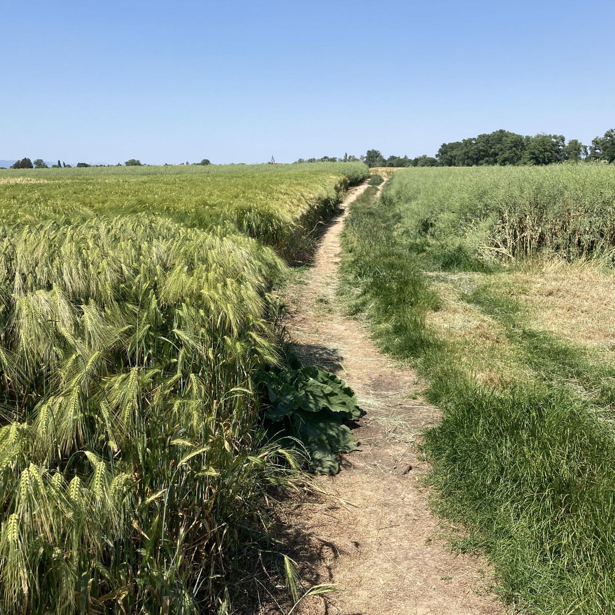
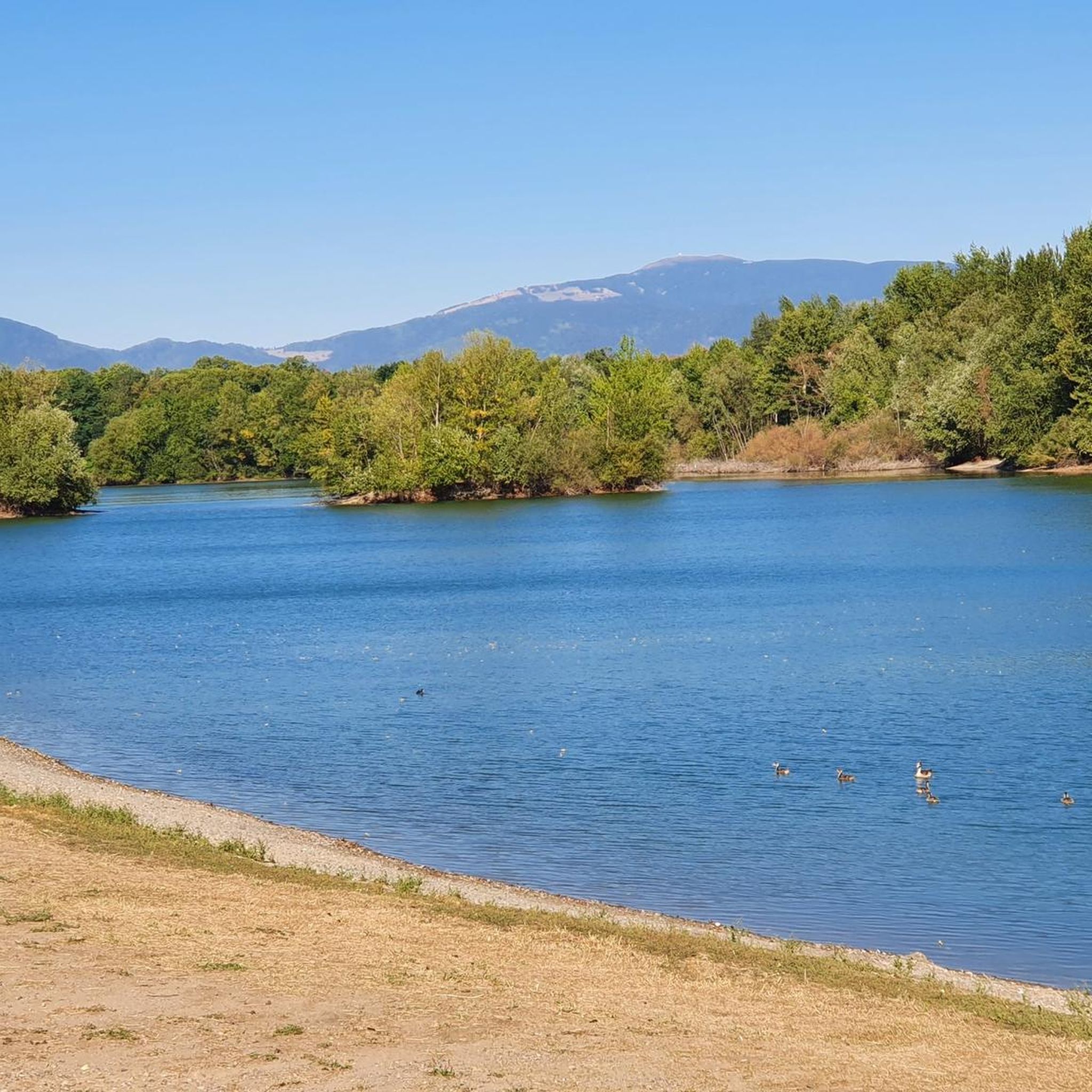
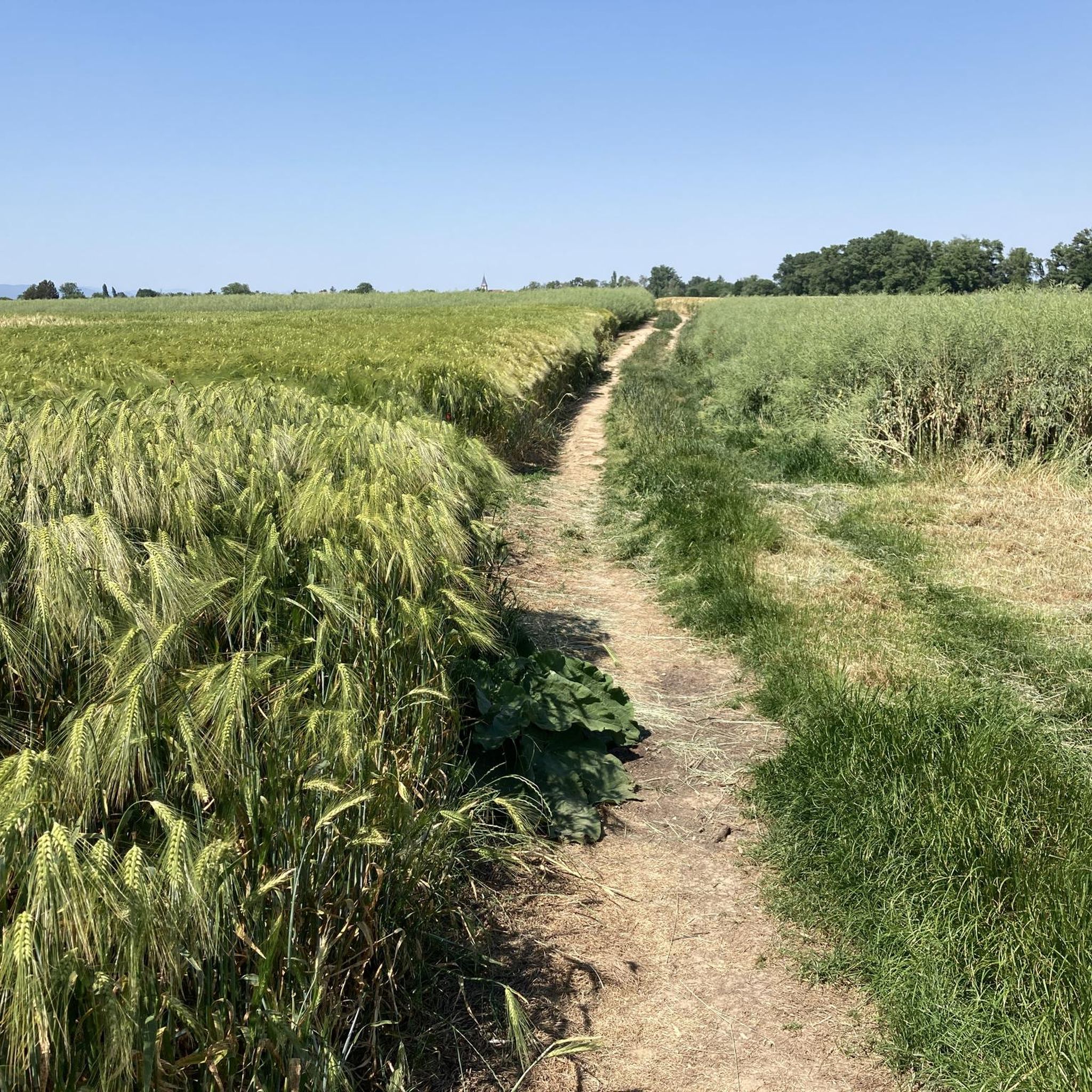
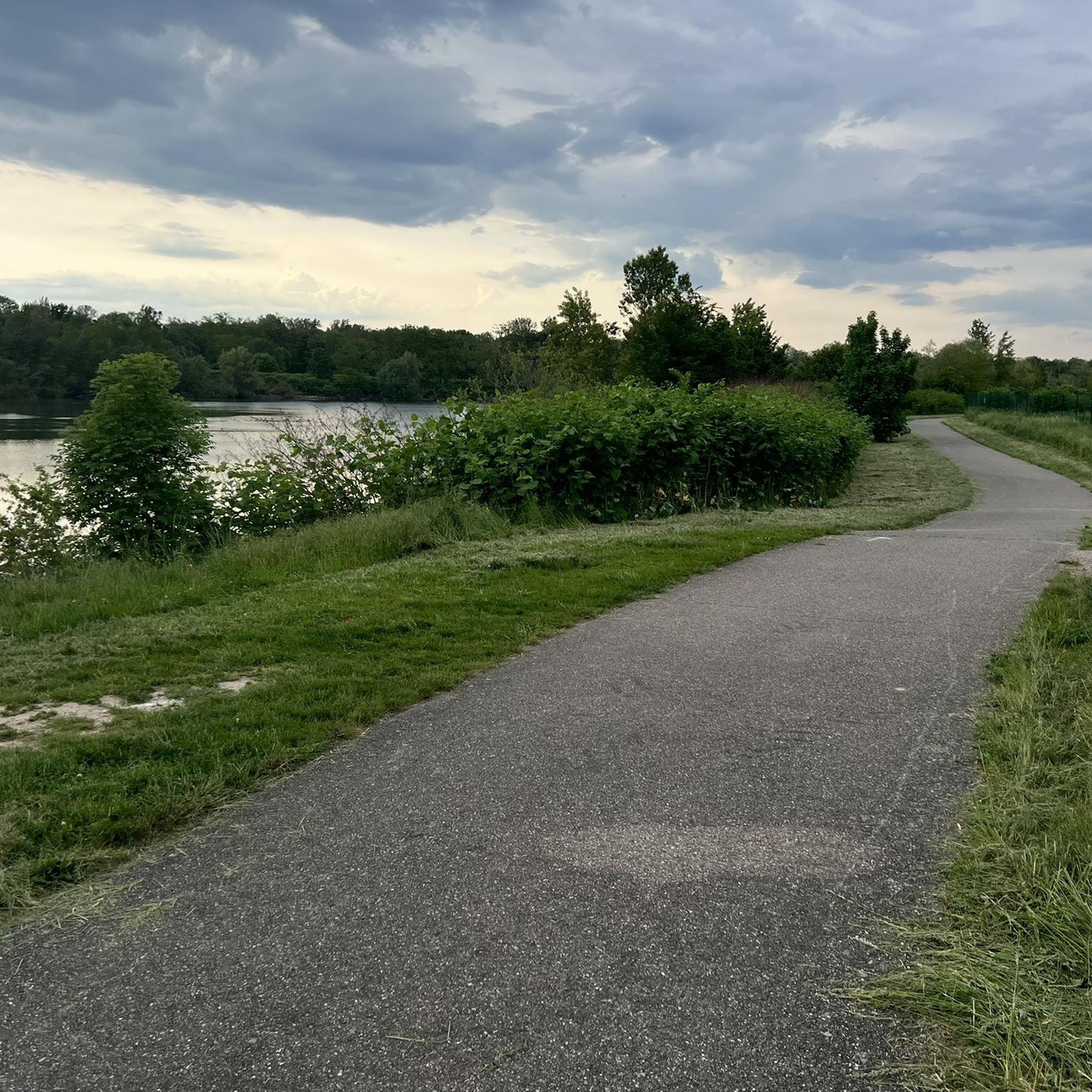
Jogging around Ruelisheim offers access to varied terrain, characterized by its relatively flat elevation ranging from 221m to 234m. The region features pathways along the Ill River, Quatelbach stream, and Dollerbaechlein stream, providing scenic routes. Runners can explore agricultural landscapes with walnut plantations and apple orchards, as well as nearby forested areas. This environment provides a mix of natural settings suitable for running.
Best jogging routes around Ruelisheim
- The most popular jogging route is Niederer Weiher loop from Ruelisheim,…
Last updated: June 28, 2026
15
runners
5.36km
00:36
10m
10m
Moderate run. Good fitness required. Mostly paved surfaces. Suitable for all skill levels.
12
runners
8.13km
00:51
10m
10m
Moderate run. Good fitness required. Mostly paved surfaces. Suitable for all skill levels.

Sign up for free
10
runners
9.91km
01:02
20m
20m
Moderate run. Good fitness required. Mostly paved surfaces. Suitable for all skill levels.
9
runners
Hard run. Very good fitness required. Mostly paved surfaces. Suitable for all skill levels.
7
runners
Hard run. Very good fitness required. Mostly paved surfaces. Suitable for all skill levels.
Get access to more routes and recommendations from other explorers.
Sign up for free
Already have an account?
Our route recommendations are based on thousands of hikes, rides, and runs completed by other people on komoot.
Start today with a free account
Your next adventure awaits.
Login or Signup
Tips from the Community

A lovely cycle path follows the course of the Thur. Here, a path leads right up to the water, offering you a pleasant stopover with the sound of the river.
0
0

A photogenic place, otherwise it's just a simple bridge.
1
0

The mining activity in this region is documented with this old winding tower.
1
0


This former railway bridge has been transformed into a greenway and crosses the Thur.
3
0

Former railway bridge, now a beautiful bike path over the Thur.
3
1
Frequently Asked Questions
How many running routes are available in Ruelisheim?
There are over 20 running routes around Ruelisheim, offering a variety of experiences. Most of these, about 17, are considered moderate, while 4 are more challenging for experienced runners.
What kind of terrain can I expect on running trails around Ruelisheim?
The terrain around Ruelisheim is generally flat, with elevations ranging from 221m to 234m. You'll find pathways along the Ill river, Quatelbach stream, and Dollerbaechlein stream, as well as routes through agricultural landscapes with walnut plantations and apple orchards, and nearby forested areas.
Are there any longer running routes for experienced runners?
Yes, for those seeking a longer challenge, the Étang du Coucou – Grosswald loop from Cité Sainte-Barbe is a difficult 15 km (9.3 miles) route. Another option is the L'Ill loop from Ruelisheim, which is a moderate 11.1 km (6.9 miles) trail.
Are there any shorter, easier running options for beginners or quick runs?
Absolutely. For a quicker or easier run, consider the Niederer Weiher loop from Ruelisheim. This moderate route covers 5.4 km (3.3 miles) and can typically be completed in about 35 minutes, offering a pleasant experience through the local landscape.
Can I find routes that are circular or loop back to the start?
Many of the running paths in Ruelisheim are designed as loops, bringing you back to your starting point. Examples include the popular Niederer Weiher loop from Ruelisheim and the Running loop from Ruelisheim, which guides you through varied scenery.
What are some scenic points or landmarks I might see while running?
While running, you can enjoy scenic views along the Ill river and other streams, as well as through agricultural plots like walnut plantations and apple orchards. For specific landmarks, you might encounter the Rhône–Rhine Canal or the Hardt Battles Memorial, depending on your chosen route.
Are the running trails around Ruelisheim suitable for families?
Yes, the relatively flat terrain and varied landscapes, including paths along rivers and through orchards, make many routes suitable for families. Shorter loop options are ideal for a family outing, allowing everyone to enjoy the natural environment.
Are dogs allowed on the running routes in Ruelisheim?
Generally, dogs are welcome on trails in natural areas around Ruelisheim, especially on paths through forests and agricultural lands. However, it's always recommended to keep them on a leash and respect local regulations, particularly near farms or protected areas.
How can I get to the running routes, and is parking available?
Ruelisheim is accessible by car, and parking is generally available in and around the town, often near trailheads or public spaces. While specific public transport details for trail access aren't provided, the town's proximity to Mulhouse suggests regional transport links could be an option for reaching the area.
What do other runners say about the trails in Ruelisheim?
The running routes in Ruelisheim are highly rated by the komoot community, with an average score of 4.1 stars from over 80 reviews. Runners often praise the varied terrain, including riverbanks, agricultural landscapes, and forested areas, which provide a refreshing and engaging experience.
What is the best season for running in Ruelisheim?
Ruelisheim offers pleasant running conditions throughout much of the year. Spring and autumn provide mild temperatures and beautiful scenery with blooming orchards or colorful foliage. Summer can be enjoyable, especially on shaded routes along the rivers or through forests, while winter offers crisp air, though some paths might be muddy or icy depending on conditions.
Are there options for running outside of Ruelisheim but still nearby?
Absolutely. Ruelisheim's proximity to Mulhouse significantly expands your running options. Mulhouse boasts over 44 km of interconnected and marked trails that weave through natural areas, along waterways, and through parks, providing ample opportunities for longer and more varied jogging experiences within a short distance. You can find more information on running in Mulhouse at tourisme-mulhouse.com.
Can I find less crowded running paths in the area?
While some routes are popular, the extensive network of paths along the Ill river, Quatelbach stream, and through agricultural lands means you can often find quieter sections, especially during off-peak hours or by exploring some of the less-trafficked trails further from the town center.
Most popular routes around Ruelisheim
Most popular attractions around Ruelisheim

Get inspired with the komoot mobile app


Explore more
Browse the best Running Trails & Routes in other regions.
