The best road cycling routes around Ruelisheim
4.4
(718)
16,453
riders
402
rides
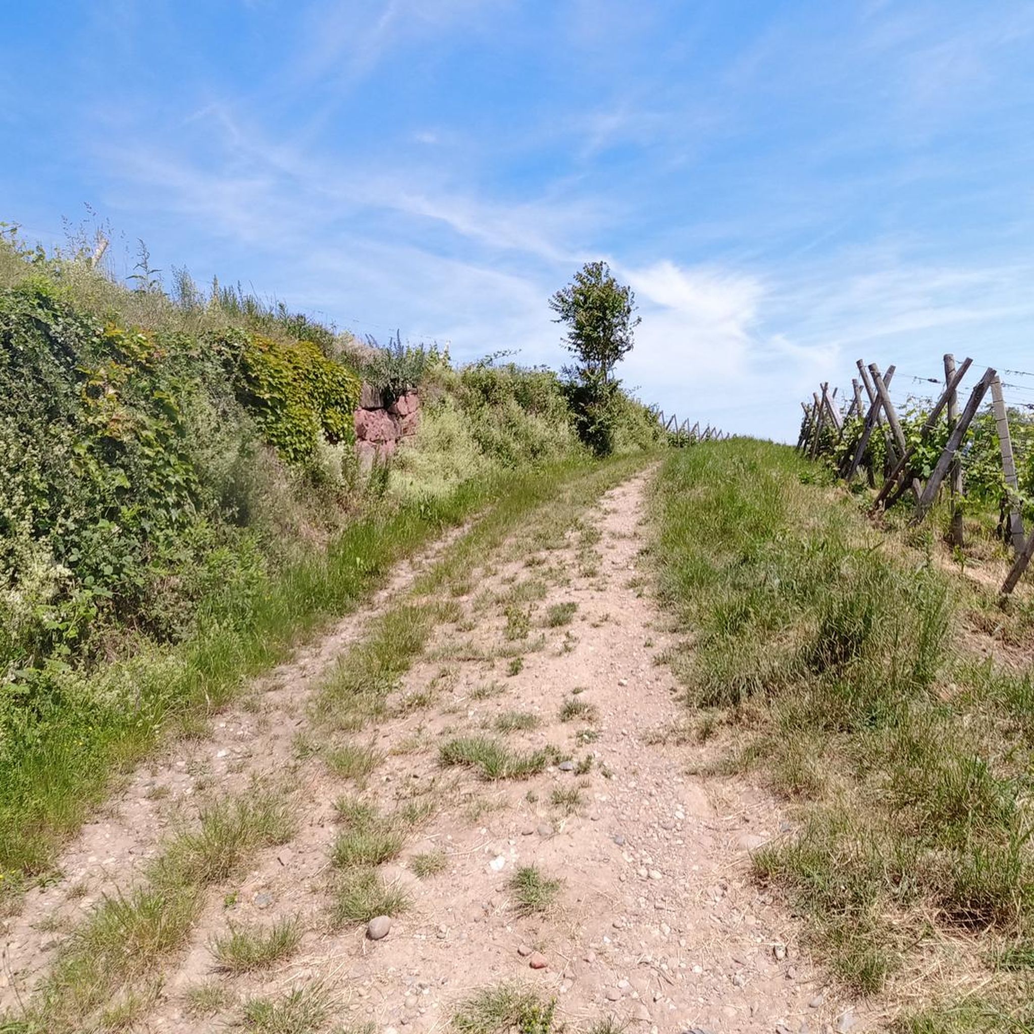
Road cycling around Ruelisheim provides access to varied terrain in the Haut-Rhin department of Alsace. The region features flatter routes along the Rhine River plain and canals, contrasting with the more demanding climbs found in the foothills of the Vosges Mountains. Cyclists can navigate through vineyards and forested sections, with elevation gains ranging from minimal to significant.
Best road cycling routes around Ruelisheim
- The most popular road cycling route is Cycle Path with Blue Bridge – Thur River Cycle Path…
Last updated: August 28, 2026
4.2
(5)
118
riders
63.9km
03:13
690m
690m
Moderate road ride. Good fitness required. Mostly well-paved surfaces and easy to ride.
4.7
(12)
145
riders
48.7km
02:06
180m
180m
Moderate road ride. Good fitness required. Mostly well-paved surfaces and easy to ride.

Sign up for free
4.5
(2)
67
riders
62.7km
03:13
710m
710m
Moderate road ride. Good fitness required. Mostly well-paved surfaces and easy to ride.
5.0
(3)
43
riders
24.8km
00:58
50m
50m
Easy road ride. Great for any fitness level. Mostly well-paved surfaces and easy to ride.
26
riders
51.4km
01:58
90m
90m
Easy road ride. Great for any fitness level. Mostly well-paved surfaces and easy to ride.
Get access to more routes and recommendations from other explorers.
Sign up for free
Already have an account?
Our route recommendations are based on thousands of hikes, rides, and runs completed by other people on komoot.
Start today with a free account
Your next adventure awaits.
Login or Signup
Tips from the Community

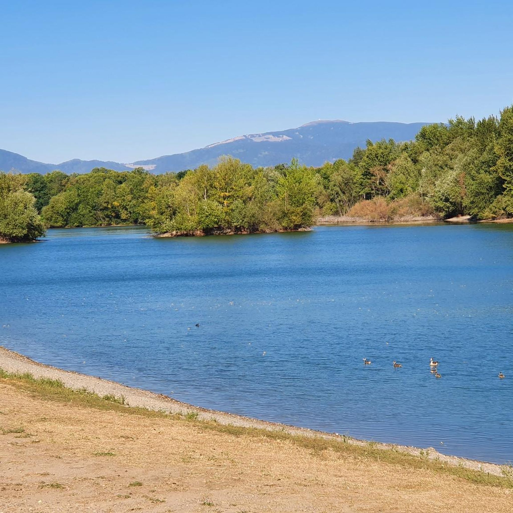
The Rhine with its beautiful bridges is always beautiful.
0
0

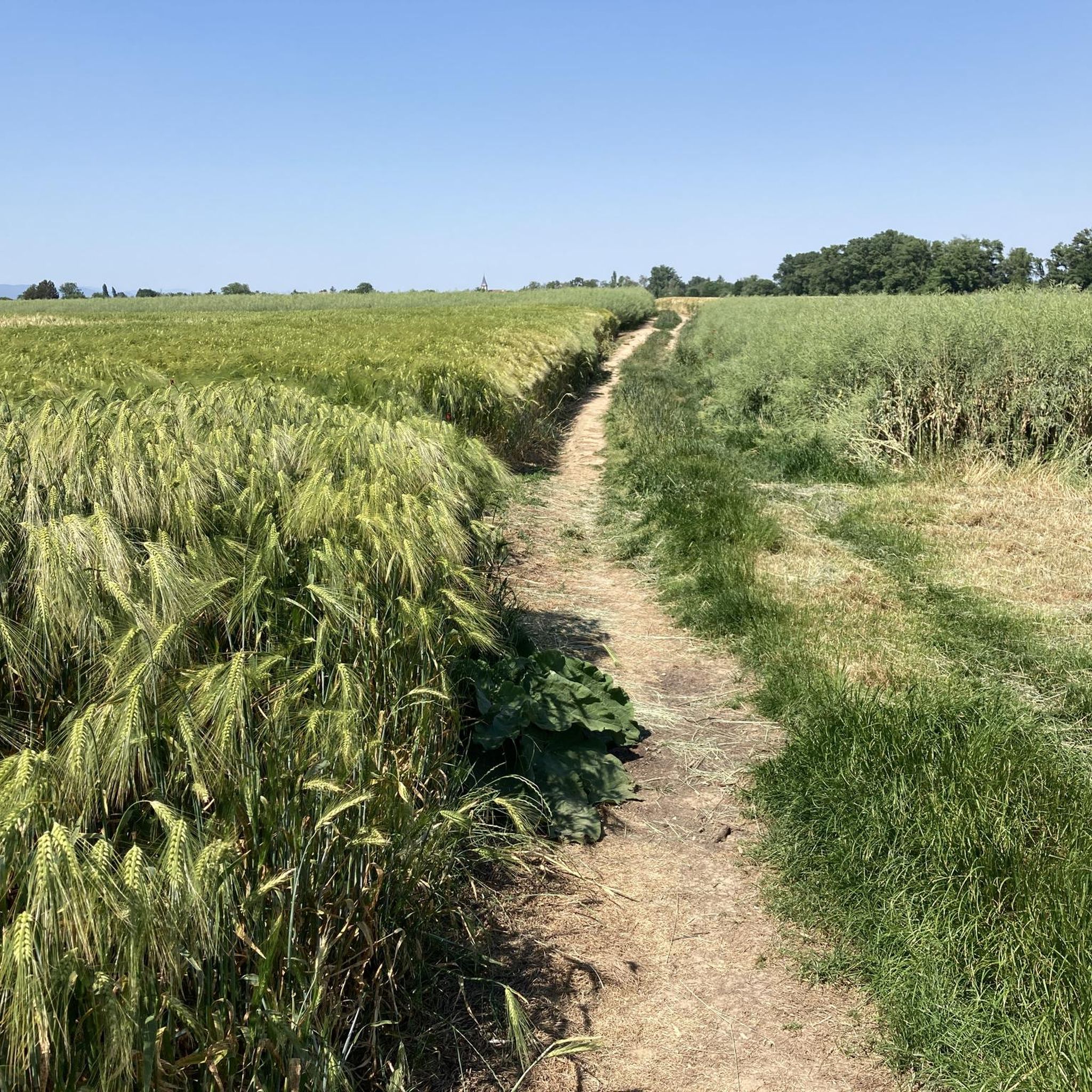
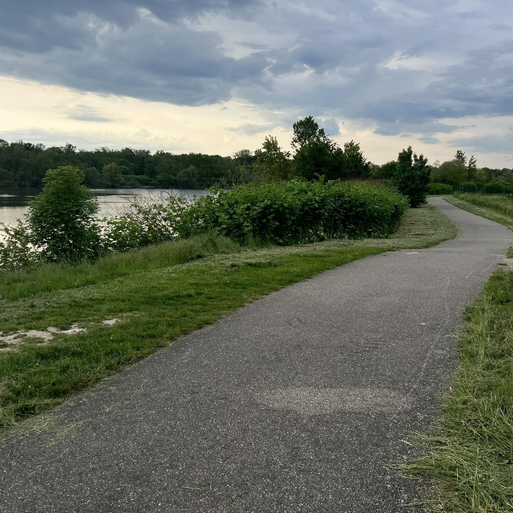
super nice path in the shade
0
0
it's fun to ride up there
0
0


The VV221 cycle route is part of the EuroVélo 5 network and begins in Ensisheim at the Thur bridge and ends in Cernay after about 17 km. The route initially runs alongside the road, then past ponds and finally through a wooded area. It runs alongside the Thur and passes the Alsatian Ecomuseum (another route leads to Ungersheim via the Petit Prince Park). The Green Route then winds along the Thur, passing Pulversheim, Staffelfelden, and Wittelsheim, and finally reaches Cernay, still along the Thur.
0
0
The VV221 cycle route is part of the EuroVélo 5 network and begins in Ensisheim at the Thur bridge and ends in Cernay after about 17 km. The route initially runs alongside the road, then past ponds and finally through a wooded area. It runs alongside the Thur and passes the Alsatian Ecomuseum (another route leads to Ungersheim via the Petit Prince Park). The Green Route then winds along the Thur, passing Pulversheim, Staffelfelden, and Wittelsheim, and finally reaches Cernay, still along the Thur.
0
0

A very beautiful, narrow road through the forest with a pleasant incline. Very secluded, with hardly any traffic (at least during the week in early June 2025).
0
0

The climb of the Col Amic from Soultz-Haut-Rhin is a beautiful and accessible climb in the Vosges, ideal for cyclists who love regularity and nature. The climb is 12.1 km long, bridges 559 meters of altitude and has an average gradient of 4.6%. The route winds through a quiet, wooded area and offers beautiful views of the Alsatian plain along the way. The summit is at 829 meters and forms a junction towards the Grand Ballon or the Hartmannswillerkopf massif. Thanks to its even profile, this climb is suitable for both recreational cyclists and athletic climbers.
7
0
Frequently Asked Questions
How many road cycling routes are available around Ruelisheim?
There are over 370 road cycling routes around Ruelisheim, offering a wide range of options for different skill levels. This includes more than 100 easy routes, over 230 moderate routes, and around 45 difficult routes for experienced cyclists.
Are there road cycling routes suitable for beginners in Ruelisheim?
Yes, Ruelisheim offers over 100 easy road cycling routes. Many of these follow the flatter terrain along the Rhine River plain and canals, providing gentle and accessible rides. An example is the VV Section 5 – Ensisheim loop from Wittenheim, which is an easy 24.8 km path.
Where can I find challenging road cycling routes near Ruelisheim?
For challenging rides, head towards the foothills of the Vosges Mountains. Routes like the Ascent to Col Amic – Amic Pass loop from Baldersheim and the Ascent to Col Amic – Climb to Col Amic loop from Cité Jeune Bois feature significant climbs to Col Amic, offering sustained gradients and rewarding ascents. The region also provides access to major climbs like the Grand Ballon, the highest point of the Vosges Mountains.
What are the most scenic road cycling routes around Ruelisheim?
The region offers diverse scenic routes. You can cycle through picturesque vineyards along the 'Alsace vineyard cycle road,' which is part of the EuroVelo 5 route, or enjoy tranquil waterways along the Rhône-Rhine Canal. Routes in the Vosges foothills provide panoramic views, while the Hardt forest offers shaded, linear paths.
Are there circular road cycling routes available around Ruelisheim?
Yes, many road cycling routes around Ruelisheim are designed as loops, allowing you to start and finish at the same point. For instance, the popular Cycle Path with Blue Bridge – Thur River Cycle Path loop from Ruelisheim is a moderate 49.1 km circular trail.
What interesting places can I see along road cycling routes near Ruelisheim?
Cycling routes often pass through charming Alsatian villages like Eguisheim and Turckheim. You can also visit historical sites such as the Mulhouse Historical Museum in nearby Mulhouse, or explore the Rhône–Rhine Canal. The region's vineyards also offer opportunities for wine tasting.
Are there any specific landmarks or attractions to look out for while cycling?
Absolutely. Keep an eye out for the Rhône–Rhine Canal, which offers peaceful cycling paths. For those seeking a challenge, the Ascent from Soultz to Col du Grand Ballon is a notable climb. You might also encounter the Hardt Battles Memorial or the Bike path to Ensisheim.
What do other road cyclists enjoy the most about road cycling in Ruelisheim?
The area is highly rated by the komoot community, with an average score of 4.5 stars from over 430 reviews. Reviewers often praise the varied terrain, from the gentle Rhine plain to the challenging Vosges foothills, and the well-maintained cycle paths that connect charming villages and scenic landscapes.
Is Ruelisheim a good base for exploring the wider Alsace region by road bike?
Yes, Ruelisheim's central location in the Haut-Rhin department makes it an excellent base. It provides easy access to the Vosges Mountains for challenging climbs, the Rhine River plain for flatter rides, and the famous Alsace Wine Route, allowing cyclists to explore the diverse landscapes and cultural heritage of the entire region. For more inspiration on cycling in Alsace, you can visit visit.alsace.
Are there road cycling routes that pass through forests or natural parks?
Yes, the Hardt forest, a Natura 2000 special protection area, offers shaded and linear paths perfect for cycling. Additionally, the larger Regional Nature Parks, such as the Ballons des Vosges Regional Nature Park, are accessible from Ruelisheim, providing opportunities to combine cycling with exploring diverse natural landscapes.
What kind of topography can I expect on road cycling routes around Ruelisheim?
Road cycling around Ruelisheim offers a diverse topography. You'll find gentle, flat routes along the Rhine River plain and canals, ideal for relaxed rides. As you head west, the terrain transitions into the foothills of the Vosges Mountains, where you'll encounter moderate to significant climbs and descents, often through vineyards and forested sections.
Can I find road cycling routes that connect to nearby towns or cities?
Many routes are designed to connect Ruelisheim with nearby towns and cities, allowing for longer tours and exploration. For example, you can easily cycle to Mulhouse (8 km away), Guebwiller (15 km), or Colmar (29 km), which are known for their cultural attractions and historical centers. The region's extensive bike path network facilitates these connections.
Most popular routes around Ruelisheim
Most popular attractions around Ruelisheim

Get inspired with the komoot mobile app


Explore more
Browse the best Road cycling routes in other regions.
