The best cycling routes around Reichweiler
4.4
(1424)
11,751
riders
567
rides
Touring cycling routes around Reichweiler are situated in a region characterized by rolling hills and extensive forests, providing a varied landscape for outdoor activities. The area includes the Glan River, offering scenic paths, and lies at the foot of the Preußische Berge, contributing to its hilly terrain. The highest point in the Kusel district, Großer Keufelskopf (585 m), is also within the municipal area, offering panoramic views.
Best touring cycling routes around Reichweiler
- The most popular touring cycling route is…
Last updated: May 17, 2026
4.7
(3)
17
riders
Moderate bike ride. Good fitness required. Mostly paved surfaces. Suitable for all skill levels.
9
riders
Easy bike ride. Great for any fitness level. Mostly paved surfaces. Suitable for all skill levels.

Sign up for free
5
riders
Easy bike ride. Great for any fitness level. Mostly paved surfaces. Suitable for all skill levels.
5.0
(2)
5
riders
20.1km
01:11
90m
90m
Easy bike ride. Great for any fitness level. Mostly paved surfaces. Suitable for all skill levels.
5.0
(2)
6
riders
Easy bike ride. Great for any fitness level. Mostly paved surfaces. Suitable for all skill levels.
Get access to more routes and recommendations from other explorers.
Sign up for free
Already have an account?
Our route recommendations are based on thousands of hikes, rides, and runs completed by other people on komoot.
Start today with a free account
Your next adventure awaits.
Login or Signup
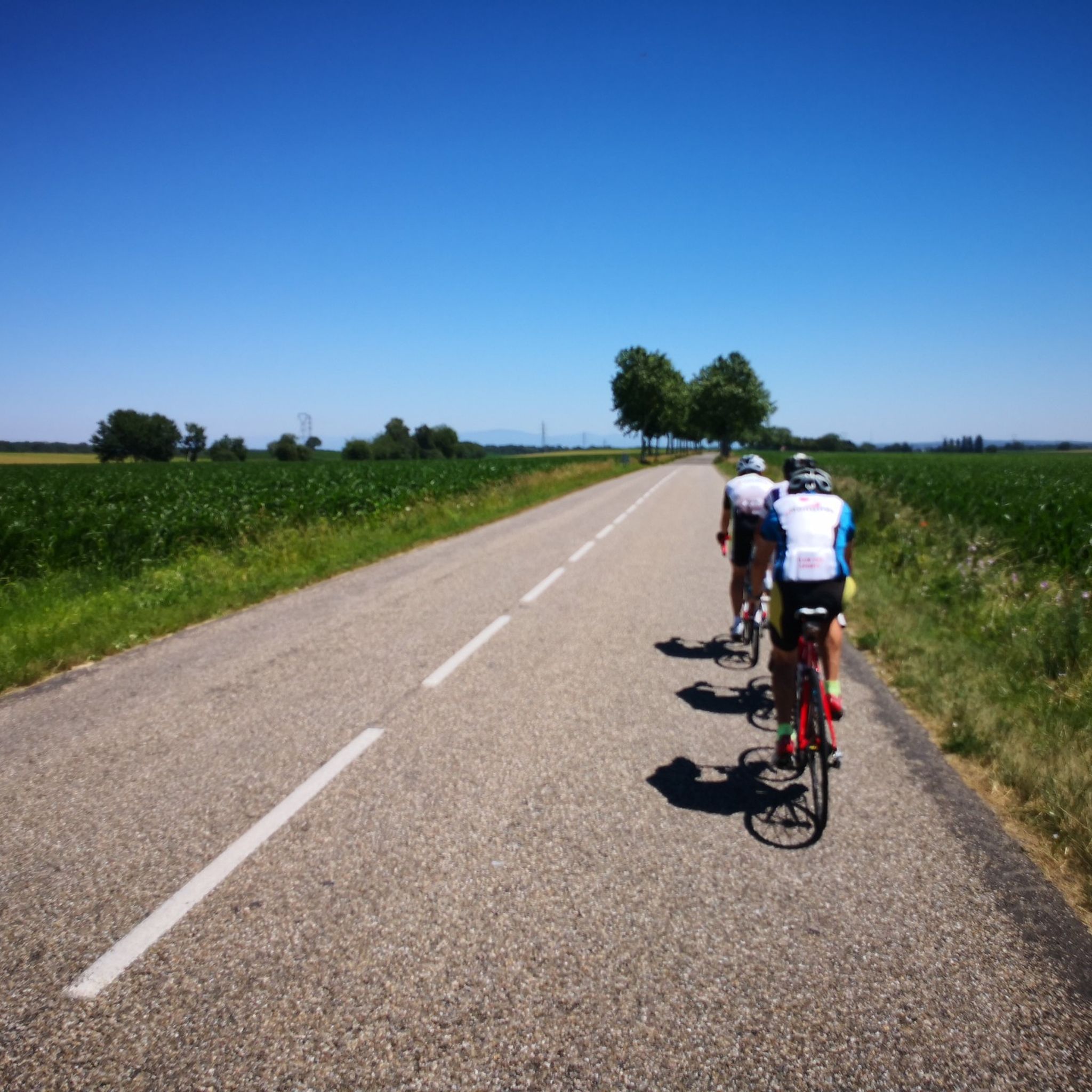
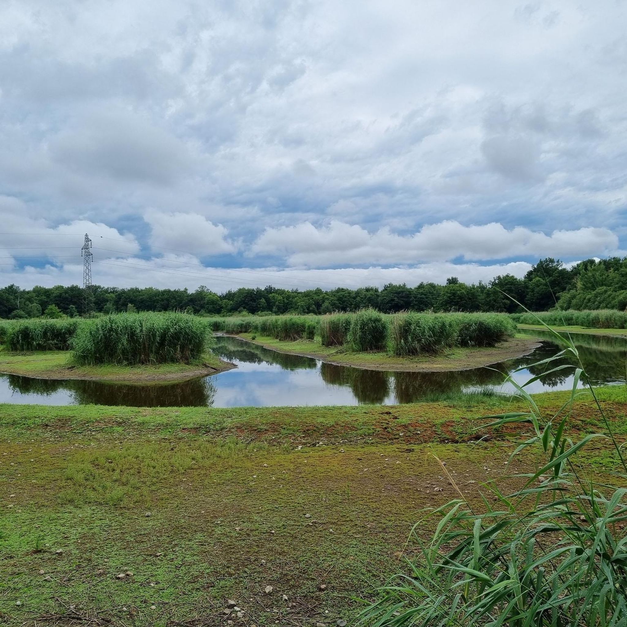
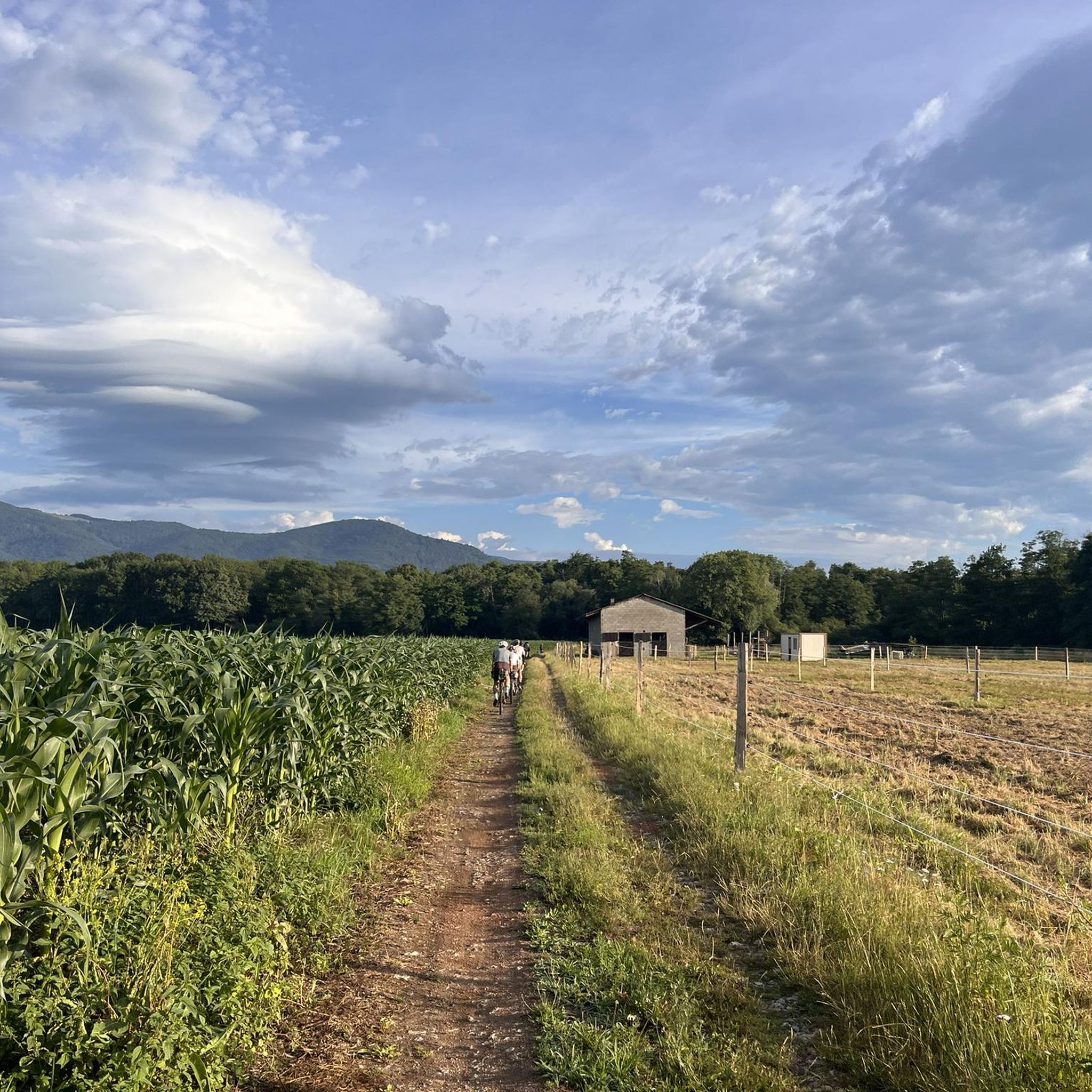

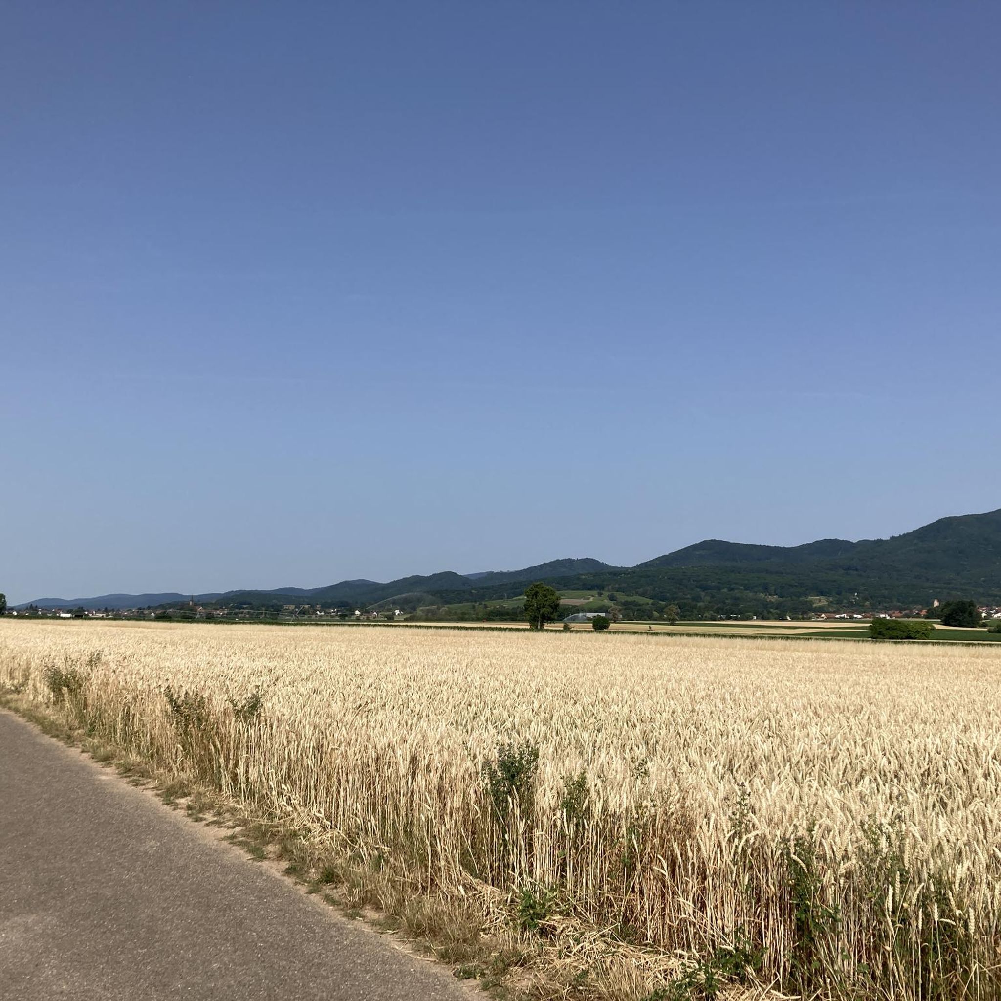
Tips from the Community

Beautiful Romanesque bell tower with vaulted ceiling. Sculpted main door. Small "Lourdes" grotto next to it.
0
0

The oldest surviving mention of Lutterbach dates back to 735. It already had a church at that time. The village was dependent on the Murbach Abbey. From the beginning of the 14th century until the French Revolution, Lutterbach belonged to the Cistercian monastery of Lützel.
0
0

This section of forest path between Richwiller (EPAD) and Wittelsheim (Cité Rossalmend) is truly unpleasant. Apart from a 300-meter paved section after the Sahel Vert site, the rest is either a potholed path (between Rossalmend and Sahel Vert) or a partially concreted path, with a sort of crenellation that's uncomfortable for the back and neck. Thanks to the gravel, which makes it "acceptable," it's not normal for such a route. I'd still prefer a dirt road, with pebbles and humus. Using this path for my bike commute between Wittelsheim and Mulhouse (Parc de Collines), this section, although a notable shortcut, spoils the fun a little; especially in the evening on the way back, at the end of the journey after a day's work. The town halls, the department, etc... It is the ideal natural route to avoid car traffic and stay in the forest when you come from all over Florival and want to go to Mulhouse. There are beautiful trails upstream (Along the Thur, around the Ecomuseum, from Guebwiller, Ensisheim...) AND downstream (between Richwiller and Luterbach, Luterbach and Morschwiller...).
0
0

Also good as shelter in the rain
0
0
The Morschwiller-le-Bas telecommunications and radio relay tower, located at Glockacker, was commissioned in 1980 and stands 71 meters tall (77 meters including the antennas). It's a landmark for hikers and cyclists, visible from several kilometers away.
0
0

You can eat well here. The staff are super nice and even speak German.
1
0

Nice track with a good surface for rollerblading overall.
0
0

A photogenic place, otherwise it's just a simple bridge.
1
0
Frequently Asked Questions
How many touring cycling routes are available around Reichweiler?
There are over 570 touring cycling routes available around Reichweiler, catering to various skill levels. You'll find a good mix, with over 240 easy routes, more than 200 moderate options, and over 120 challenging trails for experienced cyclists.
What kind of terrain can I expect on touring cycling routes in Reichweiler?
The terrain around Reichweiler is characterized by rolling hills and extensive forests, offering a varied landscape. You'll encounter paths along the Glan River and routes at the foot of the Preußische Berge. Some trails, like sections of the Fritz-Wunderlich Cycling and Hiking Trail, utilize old railway lines, providing comfortable and often shaded rides through nature.
Are there any family-friendly touring cycling routes in Reichweiler?
Yes, Reichweiler offers many family-friendly options. With over 240 easy routes, you can find paths suitable for all ages. The Fritz-Wunderlich Cycling and Hiking Trail, for example, is known for its comfortable ride along an old railway line, making it a great choice for families.
What are some notable landmarks or attractions I can see while cycling in Reichweiler?
While cycling, you can explore several interesting landmarks. The Zillisheim Drawbridge and Lock No. 35 is a notable sight. The region also features the impressive Oberkirchen Viaduct along the Fritz-Wunderlich trail. For history enthusiasts, the remnants of a Roman Mithras temple, carved into a red sandstone rock face, are a unique cultural site. You might also encounter the Bike path to Ensisheim or the Thur River Cycle Path.
What do other touring cyclists say about the routes in Reichweiler?
The touring cycling routes in Reichweiler are highly rated by the komoot community, with an average score of 4.4 stars from over 1600 reviews. More than 15,000 touring cyclists have used komoot to explore the varied terrain, often praising the scenic beauty of the rolling hills and forests, as well as the well-maintained paths.
Are there any routes that offer panoramic views?
Yes, for panoramic views, consider routes that ascend towards the Großer Keufelskopf. As the highest mountain in the Kusel district, its elevated position provides magnificent vistas of the surrounding landscape. While specific routes to the summit are not listed here, many trails in the area offer glimpses of the expansive scenery.
Can I find circular touring cycling routes in Reichweiler?
Yes, many of the touring cycling routes around Reichweiler are designed as loops. For instance, the Ensisheim cycle path Route 5 – Beautiful blue metal bridge loop from Kingersheim is a popular circular option. Another great choice is the Blue drawbridge Zillisheim – Illfurth lock loop from Cité Amélie II, which offers a mix of landscapes.
What is the best season for touring cycling in Reichweiler?
The region's rolling hills and forests are particularly enjoyable during spring, summer, and early autumn. The Fritz-Wunderlich Cycling and Hiking Trail, for example, has sections that are mostly shaded, making it pleasant even in warmer weather. Always check local weather conditions before you head out.
Are there any long-distance touring cycling options near Reichweiler?
Reichweiler is situated within Rhineland-Palatinate, a region known for its extensive cycling network. This includes long-distance cycling trails that often follow rivers through stunning landscapes, past cultural attractions and charming villages. While specific long-distance routes are not detailed here, the local network connects to these broader regional trails.
Where can I find parking for touring cycling routes in Reichweiler?
While specific parking locations for each route are not provided, Reichweiler, as a municipality, generally offers public parking options. For routes like the Fritz-Wunderlich Cycling and Hiking Trail, you can often find designated parking areas at trailheads or nearby villages. It's advisable to check local signage upon arrival.
Is there a touring cycling route that follows a river?
Yes, the Glan River flows through the village of Reichweiler, and you can find scenic cycling paths along its banks. These routes offer pleasant rides through nature, often with gentle gradients, making them enjoyable for touring cyclists looking for a riverside experience.
What is a good moderate touring cycling route to try first?
A great moderate route to start with is the Ensisheim cycle path Route 5 – Beautiful blue metal bridge loop from Kingersheim. This 51.25 km (31.8 miles) trail takes approximately 2 hours 56 minutes to complete and features varied terrain suitable for touring cyclists.
Are there any easy touring cycling routes for beginners?
Absolutely! The Beautiful blue metal bridge – Ensisheim cycle path Route 5 loop from Pfastatt is an excellent easy option. This 24.86 km (15.4 miles) trail leads through varied landscapes and can typically be completed in about 1 hour 32 minutes, making it perfect for beginners or a relaxed ride.
Most popular routes around Reichweiler
Most popular attractions around Reichweiler

Get inspired with the komoot mobile app


Explore more
Browse the best Cycling routes in other regions.
