The best road cycling routes around Reichweiler
4.5
(533)
11,891
riders
322
rides
Road cycling routes around Reichweiler are characterized by a network of dedicated cycle paths and generally flat terrain, offering accessible options for various skill levels. The region features gentle ascents and open landscapes, making it suitable for longer rides without significant elevation challenges. Road cyclists can expect routes that often follow river courses or connect small towns, providing a smooth riding experience.
Best road cycling routes around Reichweiler
- The most popular road cycling route is ELSASSMAN size L - Velo…
Last updated: November 5, 2026
66
riders
22.8km
00:53
50m
50m
Easy road ride. Mostly well-paved surfaces and easy to ride.
4.0
(2)
37
riders
Moderate road ride. Some segments of this route may be unpaved and difficult to ride.

4.5
(2)
18
riders
Moderate road ride. Good fitness required. Some segments of this route may be unpaved and difficult to ride.
4.0
(1)
18
riders
41.2km
01:44
60m
60m
Moderate road ride. Some segments of this route may be unpaved and difficult to ride.
3.0
(1)
12
riders
30.2km
01:24
200m
200m
Moderate road ride. Some segments of this route may be unpaved and difficult to ride.
Get access to more routes and recommendations from other explorers.
Already have an account?
Our route recommendations are based on thousands of hikes, rides, and runs completed by other people on komoot.
Start today with a free account
Your next adventure awaits.
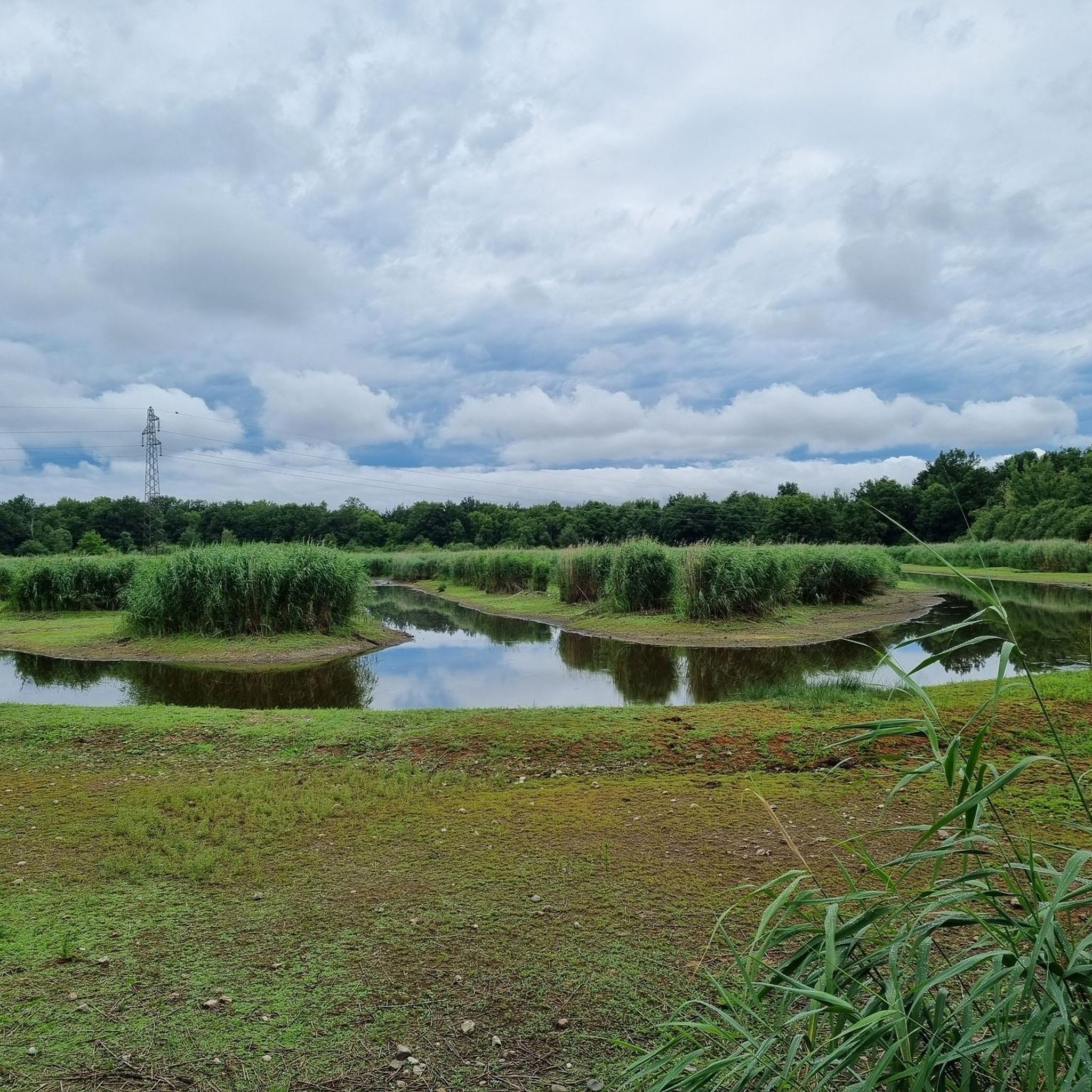

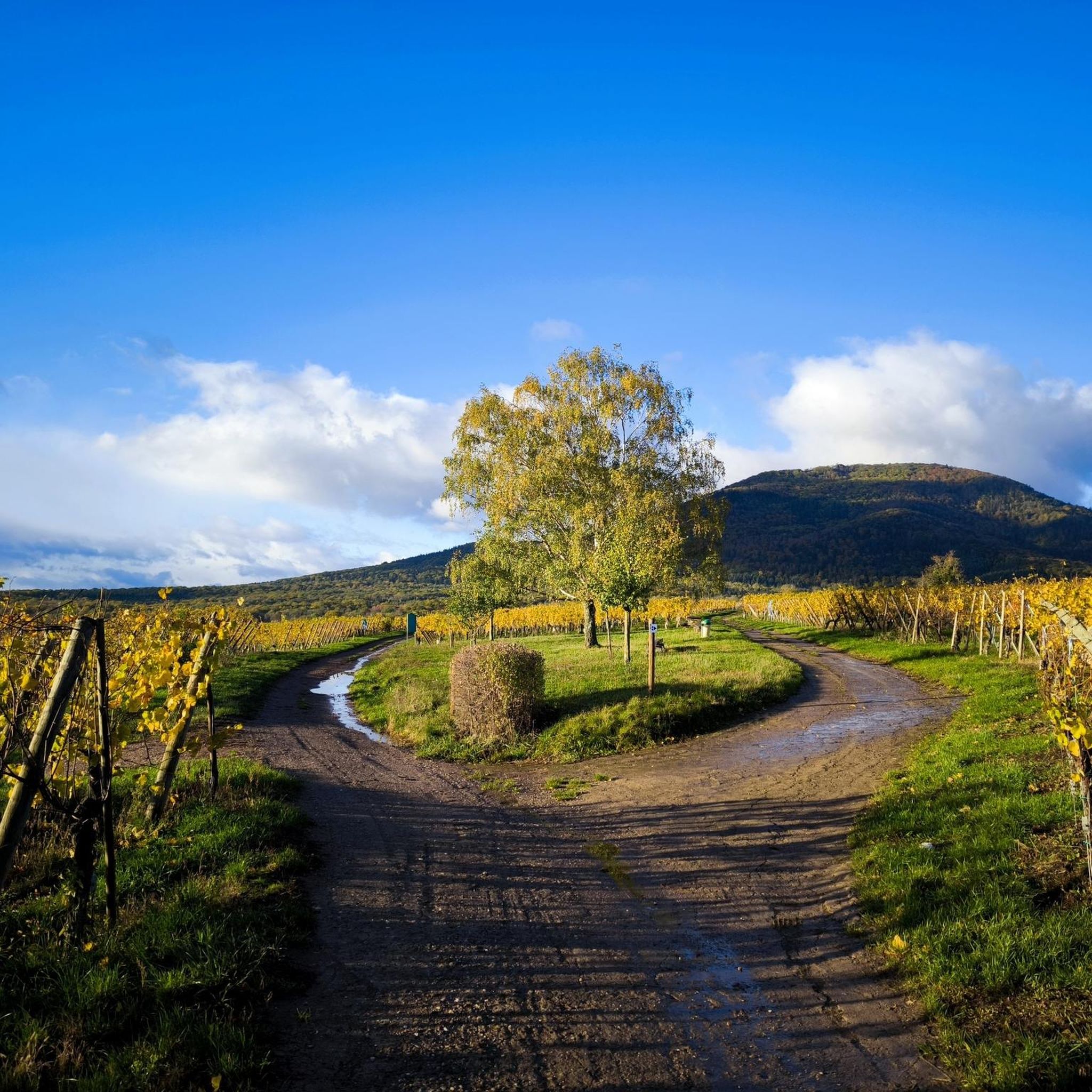
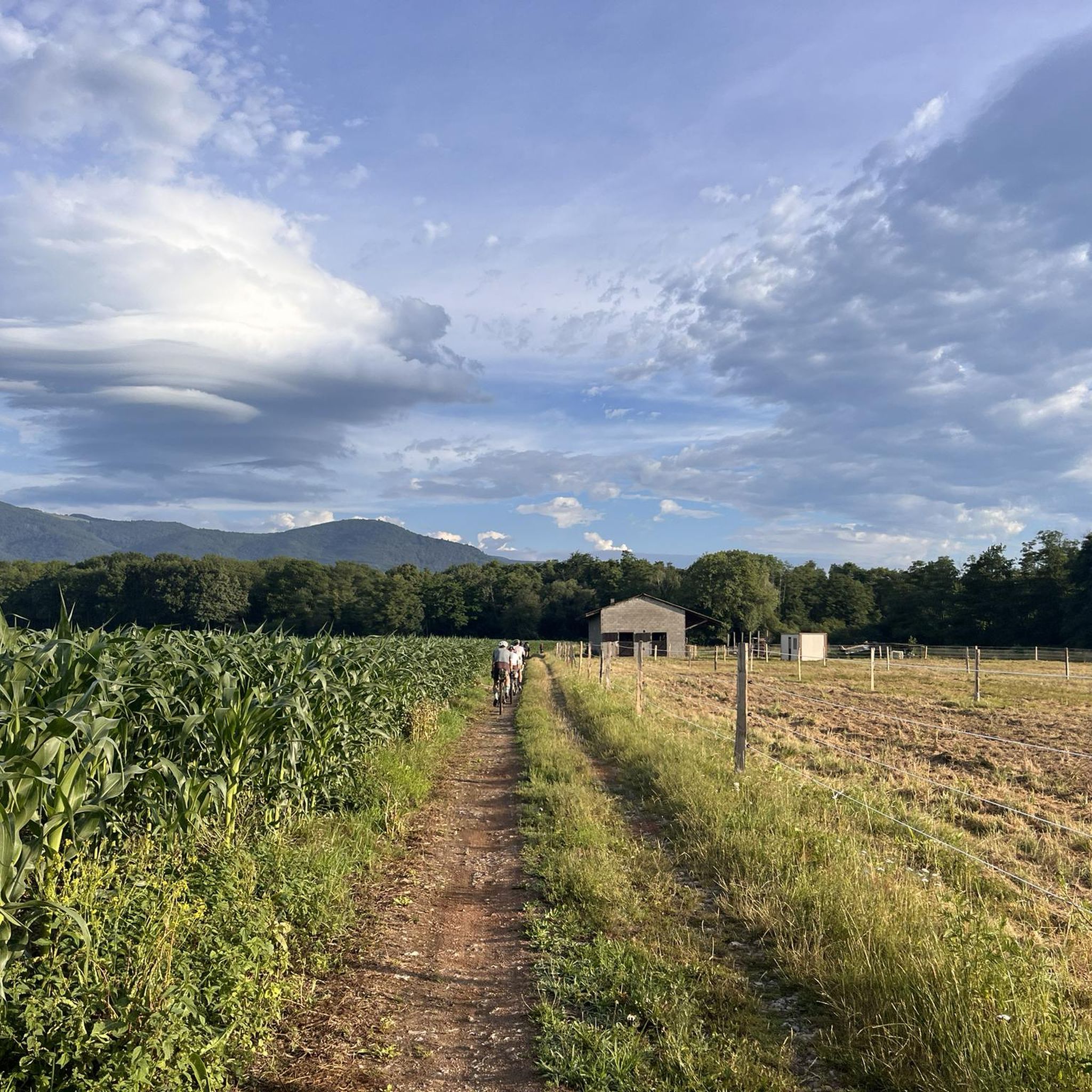
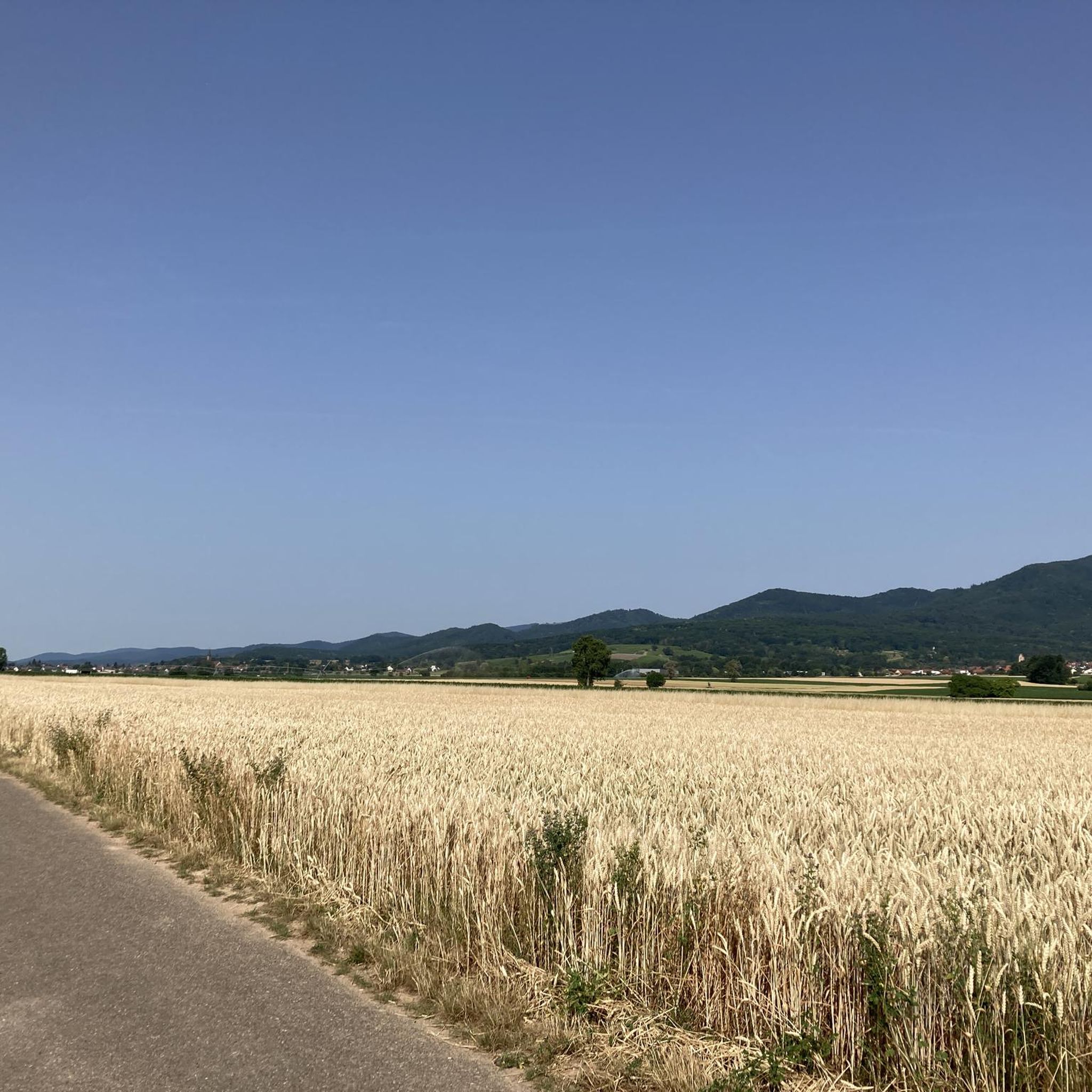
Tips from the Community

sights again and again towards Cernay
0
0

it's fun to ride up there
0
0

This excellent cycleway is a great way to avoid the heavy traffic on the road.
1
0
This separated cycleway between Wittelsheim and Staffelfelden is a great way to avoid the heavy traffic on the road.
1
0

The VV221 cycle route is part of the EuroVélo 5 network and begins in Ensisheim at the Thur bridge and ends in Cernay after about 17 km. The route initially runs alongside the road, then past ponds and finally through a wooded area. It runs alongside the Thur and passes the Alsatian Ecomuseum (another route leads to Ungersheim via the Petit Prince Park). The Green Route then winds along the Thur, passing Pulversheim, Staffelfelden, and Wittelsheim, and finally reaches Cernay, still along the Thur.
0
0
The VV221 cycle route is part of the EuroVélo 5 network and begins in Ensisheim at the Thur bridge and ends in Cernay after about 17 km. The route initially runs alongside the road, then past ponds and finally through a wooded area. It runs alongside the Thur and passes the Alsatian Ecomuseum (another route leads to Ungersheim via the Petit Prince Park). The Green Route then winds along the Thur, passing Pulversheim, Staffelfelden, and Wittelsheim, and finally reaches Cernay, still along the Thur.
0
0
The town of Soultz-Haut-Rhin (German: Sulz) near Guebwiller lies at the foot of the Vosges Mountains, at the entrance to the Lauch Valley. The first written records of Soultz date back to 667 as "Sulza," meaning salted spring. This beautiful town is not touristy; many buildings in the old town have a pleasantly morbid charm. The narrow streets and alleys, apart from the architecture, are more reminiscent of Spanish villages.
0
0

Nice track with a good surface for rollerblading overall.
1
0
Frequently Asked Questions
How many road cycling routes are available around Reichweiler?
There are over 400 road cycling routes around Reichweiler, catering to various skill levels. This includes approximately 100 easy routes, over 230 moderate routes, and around 50 difficult routes for more experienced cyclists.
Are there easy road cycling routes suitable for beginners or families in Reichweiler?
Yes, Reichweiler offers a good selection of easy road cycling routes. A great option for beginners or families is the ELSASSMAN size L - Velo loop from Kingersheim, an easy 14.2-mile (22.8 km) trail that takes about 52 minutes to complete on well-maintained paths.
What is the typical length of road cycling routes around Reichweiler?
Route lengths vary, but many popular options are moderate distances. For instance, the Ungersheim - Enisheim – Cycle Path with Blue Bridge loop from Pfastatt is 24.2 miles (38.9 km), and the Beautiful blue metal bridge – Bike path to Ensisheim loop from Kingersheim covers 34.8 miles (56.0 km).
Are there circular road cycling routes in the Reichweiler area?
Yes, many of the road cycling routes around Reichweiler are designed as loops, offering convenient circular journeys. Examples include the Puits Rodolphe II – Blue Bridge Cycle Path loop from Kingersheim and the Soultz (Haut-Rhin) loop from Wittelsheim.
What kind of terrain can I expect on road cycling routes in Reichweiler?
The region is characterized by generally flat terrain with gentle ascents, making it suitable for longer rides without significant elevation challenges. You'll find dedicated cycle paths, open landscapes, and routes that often follow river courses or connect small towns.
What do other road cyclists enjoy the most about road cycling in Reichweiler?
The area is highly rated by the komoot community, with an average score of 4.4 stars from over 400 reviews. Road cyclists often praise the well-maintained dedicated cycle paths, the smooth riding experience, and the accessible options for various skill levels.
Are there any scenic viewpoints or notable landmarks along the road cycling routes?
While the routes offer open landscapes, you can find interesting points of interest nearby. Consider exploring the Zillisheim Drawbridge and Lock No. 35 or the Mulhouse Historical Museum. Some routes also pass by a notable blue bridge, such as the Ungersheim - Enisheim – Cycle Path with Blue Bridge loop from Pfastatt.
What is the best time of year for road cycling in Reichweiler?
Given the generally flat terrain and open landscapes, road cycling in Reichweiler is enjoyable for much of the year. Spring and autumn offer pleasant temperatures and vibrant scenery, while summer provides longer daylight hours. Winter conditions would depend on local weather, but dedicated paths are generally well-maintained.
Are there road cycling routes that pass by cafes or places to stop for refreshments?
The road cycling routes in Reichweiler often connect small towns. This means you'll frequently find opportunities to stop for refreshments at local cafes or restaurants within these towns along your ride.
What makes Reichweiler a good destination for road cycling?
Reichweiler stands out for its extensive network of dedicated cycle paths and generally flat terrain, making it highly accessible for all skill levels. The region's gentle ascents and open landscapes provide a smooth and enjoyable riding experience, often following scenic river courses and connecting charming small towns.
Most popular routes around Reichweiler
Most popular attractions around Reichweiler

Get inspired with the komoot mobile app


Explore more
Browse the best Road cycling routes in other regions.
