The best cycling routes around Guibeville
4.6
(553)
2,881
riders
328
rides
Touring cycling around Guibeville offers a variety of routes through the Essonne department of France. The area features a mix of landscapes, including local forests, agricultural fields, and paths alongside various water bodies such as basins, marshes, and ponds. While specific unique geographical features are not widely documented, the region provides diverse terrain for cyclists of different abilities.
Best touring cycling routes around Guibeville
- The most popular touring cycling route is Forêt de Cheptainville – Col du Rendez-vous de Chasse…
Last updated: July 5, 2026
5.0
(5)
52
riders
Hard bike ride. Good fitness required. You may need to push your bike for some segments of this route.
4.9
(21)
28
riders
25.0km
01:31
80m
80m
Easy bike ride. Great for any fitness level. Mostly paved surfaces. Suitable for all skill levels.

Sign up for free
16
riders
40.1km
03:02
280m
280m
Hard bike ride. Good fitness required. You may need to push your bike for some segments of this route.
5.0
(1)
11
riders
11.5km
00:59
20m
20m
Easy bike ride. Great for any fitness level. Mostly paved surfaces. Suitable for all skill levels.
7
riders
Moderate bike ride. Good fitness required. Mostly paved surfaces. Suitable for all skill levels.
Get access to more routes and recommendations from other explorers.
Sign up for free
Already have an account?
Our route recommendations are based on thousands of hikes, rides, and runs completed by other people on komoot.
Start today with a free account
Your next adventure awaits.
Login or Signup

Tips from the Community

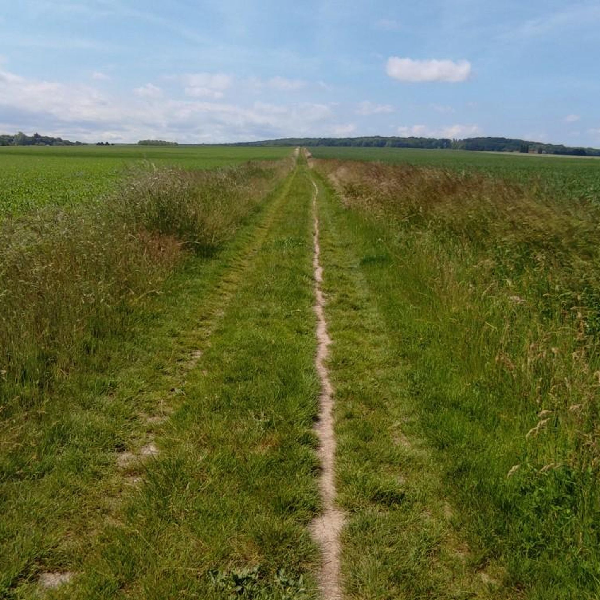
Late afternoon bike ride: Magnificent track and path...in dry weather.
0
0
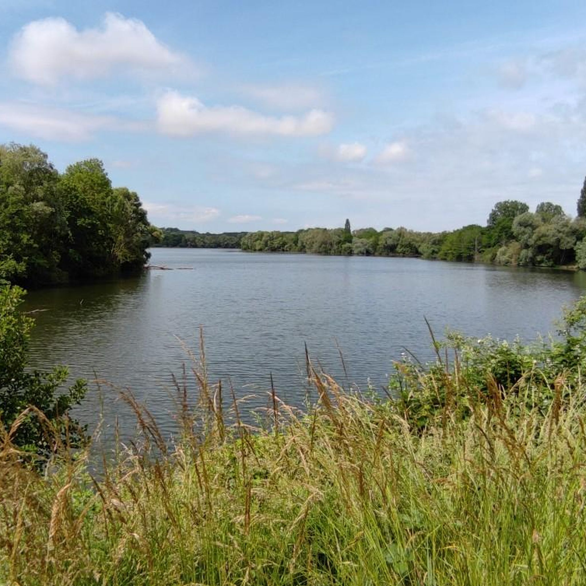
An early morning outing to enjoy all the wildlife around these lakes.
0
0


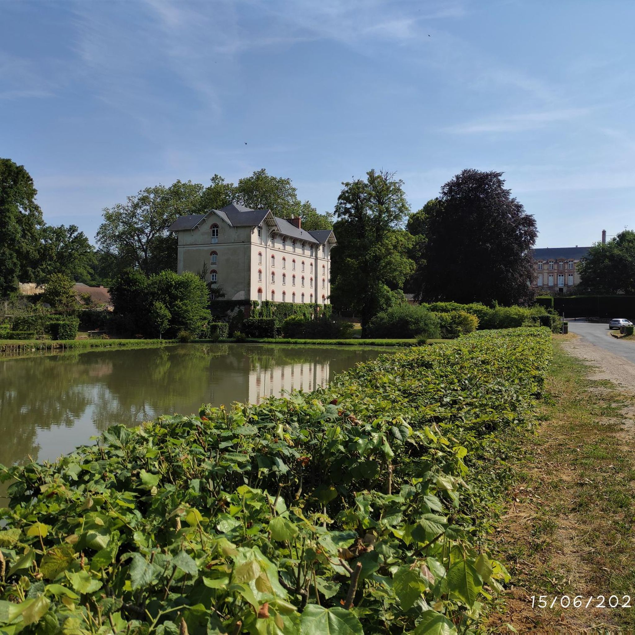
Castle closed to the public, but it is bordered by a shared road limited to 30 km/h which is very pleasant.
0
0

Driving through the idyllic French countryside, you’ll come across the magnificent Château du Mesnil-Voysin. This impressive 18th-century château, surrounded by lush gardens and a serene moat, offers a glimpse into the opulent lifestyle of the French aristocracy. You can explore the beautifully preserved interior, admire the intricate architectural details, and stroll through the peaceful grounds.
0
0

The Carouge basin is the point of convergence of the Orge, Blutin, Salmouille and Boële. The basin was dug in the 1970s to extract materials for road construction, and also to manage the floods of the Orge. Here you can see many species of birds, such as seagulls, cormorants and ringed plovers depending on the season. The path along the basin is safe and flat.
1
0

At the end of the 12th century, the estate was allegedly owned by a knight Gautier, "lord of Mesnil", and a liege man of King Philippe Auguste. In the 15th century, the property passed into the hands of the Karnazet family, who passed it down through several generations, until 1455, when Jean de Vaillant took over the reins of the estate. The Mesnil chapel was commissioned by Renée Sabathier, wife of Guillaume Hérouard, secretary of the King's chamber, in 1611. She was buried there in 1616.
0
0

Please note that cyclists must dismount within the park
0
0
Frequently Asked Questions
How many touring cycling routes are available around Guibeville?
There are over 340 touring cycling routes available around Guibeville, offering a wide variety of options for different skill levels and preferences.
What kind of terrain can I expect on touring cycling routes in Guibeville?
The routes around Guibeville feature a diverse mix of landscapes, including local forests, open agricultural fields, and paths running alongside various water bodies such as basins, marshes, and ponds. You'll find options ranging from gentle paths to routes with challenging climbs.
What do other touring cyclists say about the routes in Guibeville?
The touring cycling routes in Guibeville are highly rated by the komoot community, with an average score of 4.5 stars from over 600 reviews. More than 3,000 touring cyclists have used komoot to explore the varied terrain, often praising the mix of forests and open fields.
Are there easy touring cycling routes suitable for beginners in Guibeville?
Yes, Guibeville offers a good selection of easy touring cycling routes. For instance, the Carouge Basin – Carouge Basin loop from Marolles-en-Hurepoix is an easy 15.5-mile (25.0 km) path with gentle terrain around water features. There are over 100 easy routes in the area.
Are there challenging touring cycling routes for experienced riders in Guibeville?
Absolutely. For those seeking a challenge, routes like the Forêt de Cheptainville – Col du Rendez-vous de Chasse loop from Marolles-en-Hurepoix offer challenging climbs through forested areas over 22.3 miles (35.8 km). Another difficult option is the Trévoix Pond – Trévoix Basin loop from Marolles-en-Hurepoix, which covers over 25 miles (40 km) with significant elevation gain. The region has over 120 difficult routes.
Can I find circular touring cycling routes in Guibeville?
Yes, many of the touring cycling routes around Guibeville are designed as loops, allowing you to start and finish at the same point. Examples include the Fontenay-le-Vicomte Marsh – The Étangs of Vert-le-Petit loop from Marolles-en-Hurepoix and the Obelisk of Saint-Vrain loop from Marolles-en-Hurepoix.
Are there any historical landmarks or attractions to visit along the touring cycling routes near Guibeville?
Yes, the area around Guibeville features several interesting landmarks and attractions. You might encounter historical sites like the Obelisk of Saint-Vrain, or religious buildings such as the Saint-Sulpice Church of Saint-Sulpice-de-Favières. For those interested in grander structures, there are several castles nearby, including Château du Mesnil-Voisin and Chamarande Castle and Park.
Are the touring cycling routes around Guibeville family-friendly?
Many of the easier routes around Guibeville are suitable for families, especially those with gentle paths and less traffic. Look for routes categorized as 'easy' on komoot, which often feature flatter terrain and scenic surroundings, such as the loops around Carouge Basin.
Is it possible to reach the touring cycling routes around Guibeville by public transport?
While specific public transport connections directly to every trailhead might vary, Guibeville and surrounding towns in Essonne are generally accessible by regional train or bus services. It's advisable to check local transport schedules and routes to plan your journey to a suitable starting point.
Where can I park my car when visiting the touring cycling routes in Guibeville?
Many touring cycling routes around Guibeville start from towns like Marolles-en-Hurepoix. These towns typically offer public parking facilities. It's recommended to check for available parking near your chosen trailhead before you set off.
What is the best time of year for touring cycling in Guibeville?
Generally, spring and autumn offer the most pleasant conditions for touring cycling in the Essonne region, including Guibeville. Temperatures are mild, and the natural landscapes are vibrant. Summer can also be enjoyable, though it's best to start early to avoid the midday heat.
Are dogs allowed on the touring cycling routes in Guibeville?
While many outdoor areas in France are dog-friendly, specific rules can vary depending on the route, especially if it passes through private land, nature reserves, or agricultural areas. It's always best to keep dogs on a leash and ensure they are well-behaved, and to check for any local signage regarding dog access.
Most popular routes around Guibeville
Most popular attractions around Guibeville

Get inspired with the komoot mobile app


Explore more
Browse the best Cycling routes in other regions.
