The best walks and hikes around Guibeville
4.5
(857)
5,301
hikers
326
hikes
Hiking around Guibeville offers varied landscapes, including extensive forest trails and notable natural features. The region is characterized by accessible paths suitable for different skill levels, with gentle elevation changes across its terrain. A distinctive natural monument, the Sequoia Avenue at Villeroy Park, provides a unique setting for walks. These features combine to create a diverse environment for outdoor exploration.
Best hiking trails around Guibeville
- The most popular hiking route is Moulin Passage loop from La Norville - Saint-Germain-lès-Arpajon,…
Last updated: October 3, 2026
4.3
(12)
64
hikers
Moderate hike. Good fitness required. Easily-accessible paths. Suitable for all skill levels.
4.6
(17)
59
hikers
8.84km
02:18
60m
60m
Moderate hike. Good fitness required. Easily-accessible paths. Suitable for all skill levels.

4.4
(9)
42
hikers
Moderate hike. Good fitness required. Easily-accessible paths. Suitable for all skill levels.
29
hikers
6.60km
01:41
20m
20m
Easy hike. Great for any fitness level. Easily-accessible paths. Suitable for all skill levels.
5.0
(9)
23
hikers
12.1km
03:04
30m
30m
Moderate hike. Good fitness required. Easily-accessible paths. Suitable for all skill levels.
Get access to more routes and recommendations from other explorers.
Already have an account?
Our route recommendations are based on thousands of hikes, rides, and runs completed by other people on komoot.
Start today with a free account
Your next adventure awaits.

Tips from the Community

Late afternoon bike ride: Magnificent track and path...in dry weather.
0
0

beautiful place. very pleasant to walk there especially with the beautiful colors of autumn
2
0
beautiful place
2
0
superb sculpture
3
0
beautiful viewpoint
3
0
fairly spacious parking lot. ideal for starting your hike
2
0

The Carouge basin is the point of convergence of the Orge, Blutin, Salmouille and Boële. The basin was dug in the 1970s to extract materials for road construction, and also to manage the floods of the Orge. Here you can see many species of birds, such as seagulls, cormorants and ringed plovers depending on the season. The path along the basin is safe and flat.
1
0

Louis DUVAL de l’EPINOY Marquis of Saint-Vrain from 1747 to 1769. He had the Obelisk erected in 1750 in homage to the work of Cassini who had developed a system of measurements allowing the creation of the geodesic map of France. Started in 1750, this map was completed in 1790.
0
0
Frequently Asked Questions
How many hiking trails are available around Guibeville?
Guibeville offers a comprehensive network of nearly 300 hiking routes. These range from easy strolls to more challenging excursions, ensuring options for various skill levels and preferences.
What kind of terrain can I expect on hikes in Guibeville?
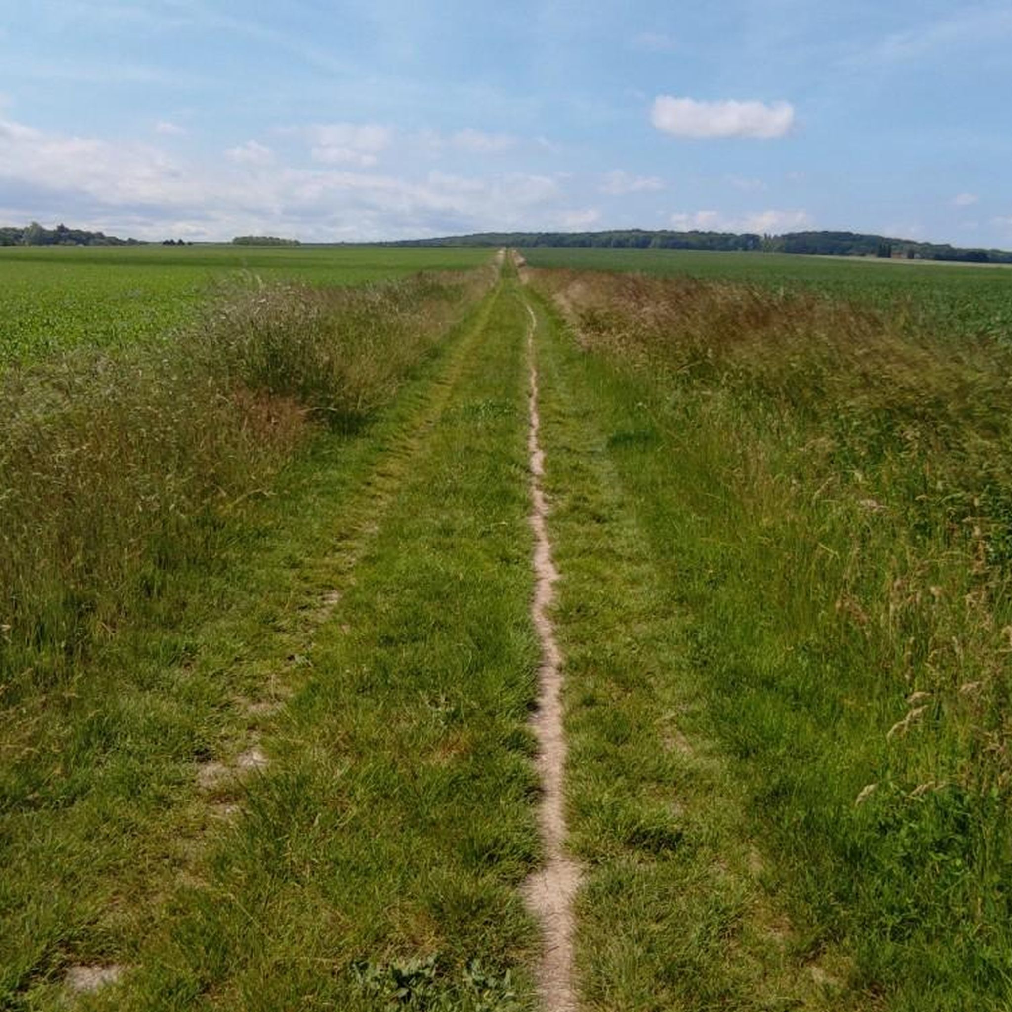
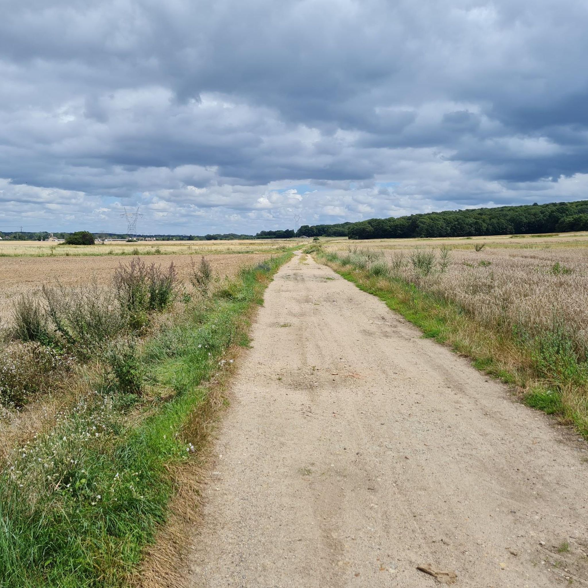
The terrain around Guibeville is varied, featuring extensive forest trails, open countryside, and gentle elevation changes. You'll find accessible paths suitable for different abilities, with many routes winding through serene natural settings.
Are there any easy hikes suitable for beginners or families?
Yes, Guibeville has 147 easy routes, perfect for beginners or families. An example is the Halle d’Arpajon – Parc de la Villa d'Argenteuil loop from Arpajon, which is 5.2 km long. Another accessible option is the Cascade loop from Arpajon, covering 6.3 km.
Are there any circular walks in the Guibeville area?
Many of the trails around Guibeville are designed as circular routes, offering convenient starting and ending points. For instance, the Moulin Passage loop from La Norville - Saint-Germain-lès-Arpajon is a popular moderate circular trail, as is the Halle d’Arpajon – Moulin Passage loop from Arpajon.
What notable natural features can I see while hiking in Guibeville?
A distinctive natural monument is the Sequoia Avenue at Villeroy Park, an 800-meter path lined with 134 giant sequoias, many over a century old. The region also features numerous forest trails, offering immersive natural experiences.
Are there any historical landmarks or points of interest along the trails?
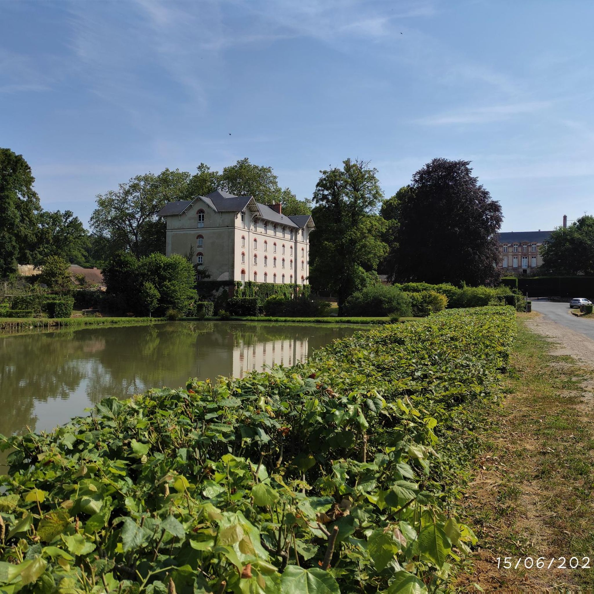
Yes, hiking in Guibeville can be combined with visits to local landmarks. The Church of Saint-Sulpice-de-Favières is a beautiful sight and a starting point for many forest paths. You might also encounter views of castles like Château du Mesnil-Voisin or Chamarande Castle and Park, which are nearby.
What do other hikers say about the trails in Guibeville?
The trails in Guibeville are highly regarded by the komoot community, with an average rating of 4.5 stars from over 650 reviews. Hikers often praise the varied landscapes, accessible paths, and the serene atmosphere of the forest trails.
Are there any lakes or water features to explore near Guibeville?
Yes, the region around Guibeville features several beautiful lakes and basins. You can explore highlights such as Trévoix Pond, Carouge Basin, or Étang du Moulin Neuf, which offer peaceful settings for walks.
What is the best time of year to go hiking in Guibeville?
Guibeville's trails are enjoyable throughout the year, with each season offering a different charm. Spring brings blooming flora, summer provides lush greenery, autumn showcases vibrant colors, and winter offers crisp, quiet walks. The gentle terrain makes it accessible in most conditions.
Are there any longer, more challenging hikes available?
While most trails are easy to moderate, there are 20 routes classified as difficult for those seeking a greater challenge. These routes typically involve longer distances or slightly more varied terrain, though the overall elevation changes in the region remain gentle.
Can I find routes that pass by specific monuments or viewpoints?
Absolutely. Many routes are designed to include points of interest. For example, the Obélisque – Obelisk of Saint-Vrain loop from Marolles-en-Hurepoix leads through rural landscapes and past historical points, offering both natural beauty and cultural sights.
Most popular routes around Guibeville
Most popular attractions around Guibeville

Get inspired with the komoot mobile app


Explore more
Browse the best Hikes in other regions.
