The best walks and hikes around Abancourt
4.5
(685)
1,868
hikers
162
hikes
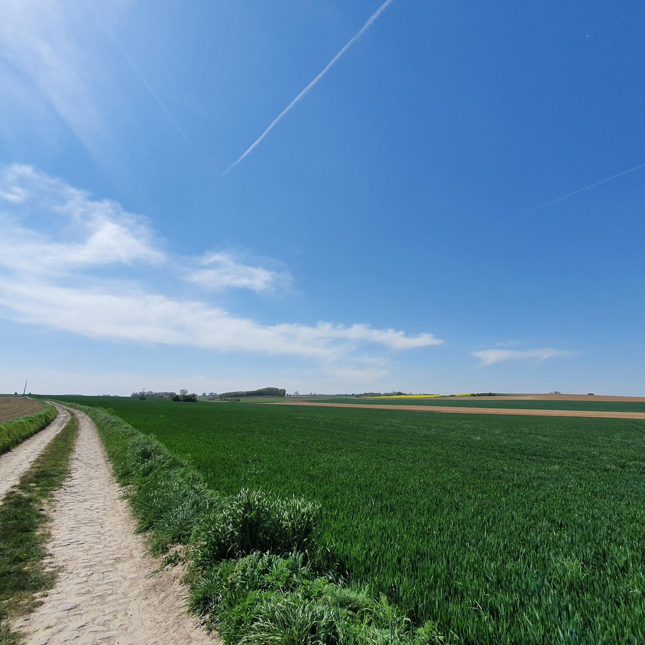
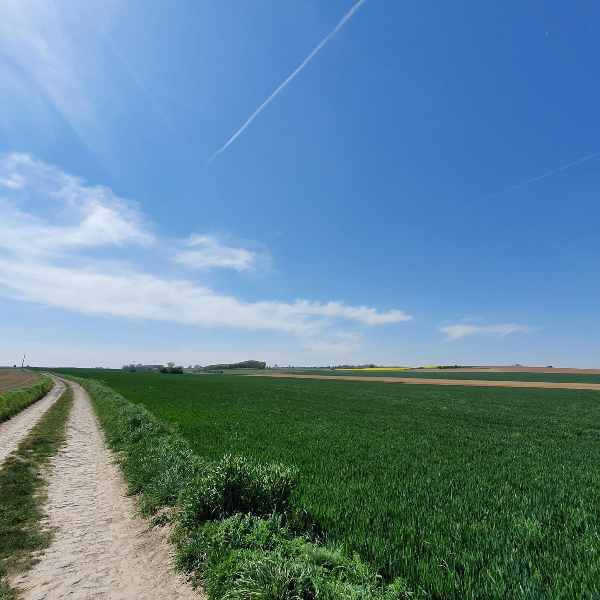
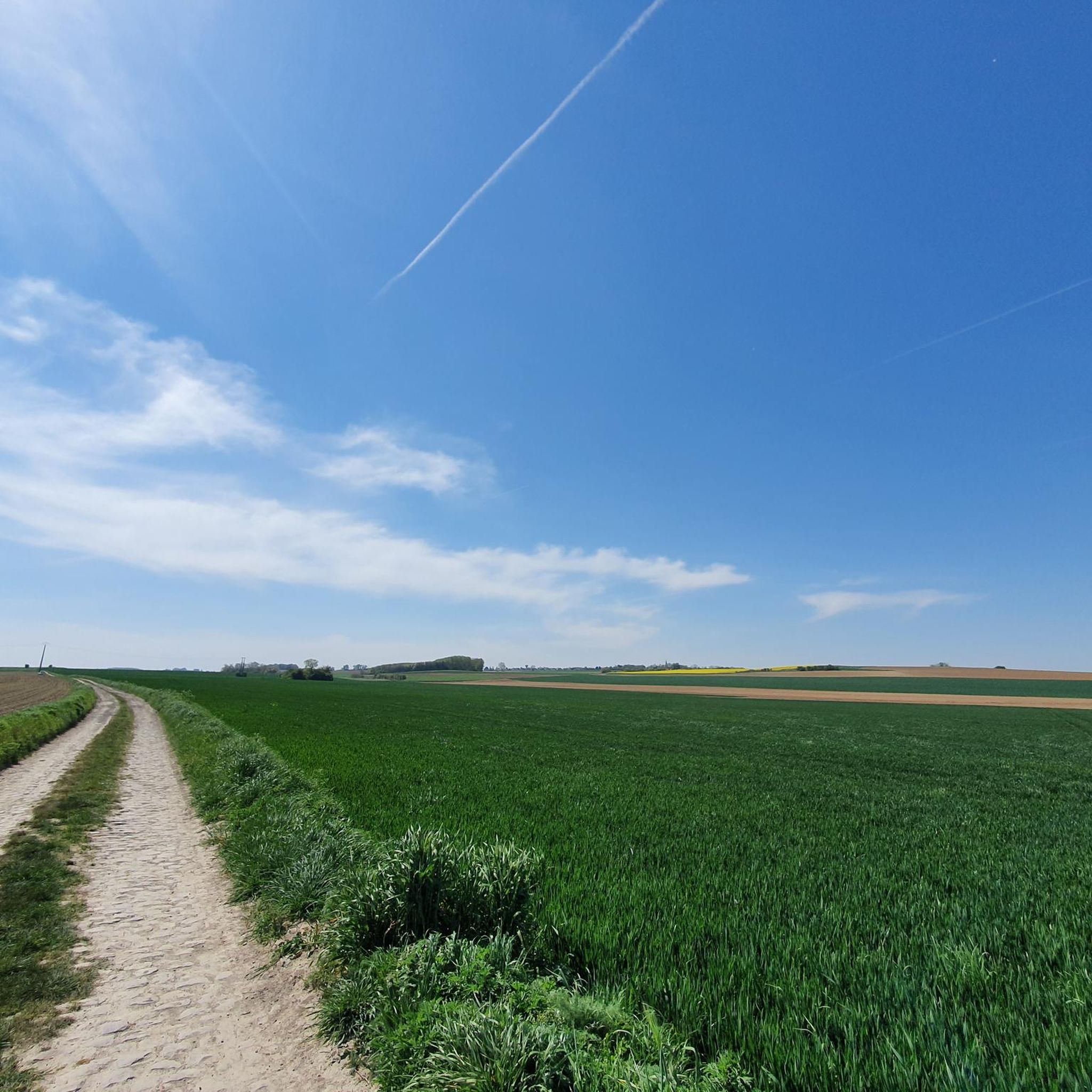
Hiking around Abancourt offers opportunities to explore the varied terrain of the Oise department. The region features a landscape with elevations ranging from 170m to 222m, providing gentle undulations rather than steep climbs. Trails often follow greenways and canals, passing through areas with historic locks and marshlands. These routes provide access to natural features and cultural points of interest in the surrounding area.
Best hiking trails around Abancourt
- The most popular hiking route is The Round Basin loop from Paillencourt…
Last updated: May 13, 2026
4.9
(87)
66
hikers
5.51km
01:23
10m
10m
Easy hike. Great for any fitness level. Easily-accessible paths. Suitable for all skill levels.
5.0
(5)
24
hikers
Easy hike. Great for any fitness level. Easily-accessible paths. Suitable for all skill levels.

Sign up for free
3.5
(4)
17
hikers
9.99km
02:33
30m
30m
Moderate hike. Good fitness required. Easily-accessible paths. Suitable for all skill levels.
4.7
(3)
11
hikers
6.07km
01:33
20m
20m
Easy hike. Great for any fitness level. Easily-accessible paths. Suitable for all skill levels.
5.0
(2)
15
hikers
7.63km
01:56
20m
20m
Easy hike. Great for any fitness level. Easily-accessible paths. Suitable for all skill levels.
Get access to more routes and recommendations from other explorers.
Sign up for free
Already have an account?
Our route recommendations are based on thousands of hikes, rides, and runs completed by other people on komoot.
Start today with a free account
Your next adventure awaits.
Login or Signup
Tips from the Community


The menhir is located in the marsh of Aubigny-au-Bac, on a footpath leading to Brunémont. It is a block of Landenian sandstone 2.90 m high (including 1.48 m above ground) by 2.15 m wide and 0.70 m thick. It is said to have been sunk to about 2.40 m. Shaped like a horse's head, it is associated with a prehistoric megalith despite the absence of evidence.
0
0

The Canal de la Sensée is a canal in northern France. The project was developed under Napoleon. In March 1806, the Imperial government ordered the construction of a canal connecting the Scarpe and the Scheldt. Work began under the direction of Augustin Honnorez in June 1819 and the Canal de la Sensée was opened to navigation in November 1820. Back then, the boats were pulled by men or horses who worked for ship owners. Shortly after World War I 1914-1918, horses were replaced by tractors. The Canal de la Sensée is part of the Dunkirk - Scheldt Canal.
3
0

The Féchain polisher dates from the Neolithic period (between the 10th and 20th centuries BC). It is then used for the polishing of flint axes: the basins of the upper face are formed by the polishing of the sides of the axes, the grooves by their edge.
1
0

I regularly train here for long distance walks. To discover
0
0
Change of scenery guaranteed. Course completely renovated by the CAPH, suitable for walking, hiking, cycling in all seasons...
0
0

Very beautiful monument of local history to discover during a walk in nature.
1
0
Frequently Asked Questions
What kind of terrain can I expect on hiking trails around Abancourt?
The region around Abancourt features a landscape with gentle undulations, with elevations typically ranging from 170m to 222m. You'll find trails often following greenways and canals, passing through marshlands and areas with historic locks. It's generally varied terrain without steep climbs.
How many hiking trails are available in the Abancourt area?
There are over 160 hiking routes available around Abancourt. The majority are rated as easy or moderate, with 86 easy trails and 74 moderate options, making it accessible for various fitness levels.
Are there any family-friendly hiking options near Abancourt?
Yes, many trails around Abancourt are suitable for families due to their generally easy difficulty and gentle terrain. An excellent option is The Round Basin loop from Paillencourt, which is an easy 5.5 km route offering pleasant views along the water.
What interesting natural features or landmarks can I see while hiking?
Hikers can discover several points of interest. The historic Ecluse de Thun Leveque, a 19th-century lock, is often encountered along canal paths. For those interested in unique natural history, the 'stone that grows' can be found along routes like the Jetty on the Aubigny Marsh – the stone that grows loop from Aubigny-au-Bac, which leads through marshland.
Are there any circular hiking routes in the Abancourt area?
Yes, many of the trails are designed as circular routes, allowing you to start and end at the same point. For example, The Féchain Polishing Stone – the polishing stone loop from Féchain is a moderate 9.3 km circular path that navigates varied terrain.
What do other hikers enjoy most about the trails in Abancourt?
The hiking trails around Abancourt are highly rated by the komoot community, with an average score of 4.5 stars from over 600 reviews. Hikers often praise the peaceful canal paths, the varied landscapes, and the accessibility of the routes for different skill levels.
Are there any longer, more challenging hikes available?
While most trails are easy to moderate, there are longer options for those seeking more distance. The polishing stone loop from Aubigny-au-Bac is a moderate 9.9 km route that offers a good workout with gentle elevation changes.
Can I reach hiking trails using public transport?
While specific public transport links directly to trailheads can vary, many routes in the region follow greenways and canal paths that may be accessible from nearby towns. It's advisable to check local transport schedules for connections to starting points like Paillencourt or Aubigny-au-Bac.
What kind of historical sites can be seen near the hiking routes?
Beyond natural features, the wider area offers glimpses of historical structures. While not directly on every trail, routes might offer views or access to sites like the Belfry of Cambrai, a UNESCO World Heritage site, or the Porte Notre-Dame de Cambrai, an old medieval gate.
Are there any easy routes suitable for beginners?
Absolutely. Many trails around Abancourt are classified as easy, perfect for beginners or a relaxed stroll. An example is the Bridge Over the Canal – Canal bridge loop from Wasnes-au-Bac, an easy 6.1 km route with minimal elevation gain.
What is the best time of year to go hiking in Abancourt?
The region's gentle terrain and varied landscapes make it suitable for hiking throughout much of the year. Spring and autumn offer pleasant temperatures and beautiful scenery, while summer provides longer daylight hours. During wet periods, some marshland trails might be swampy, so dry weather is recommended for those specific routes.
Most popular routes around Abancourt
Most popular attractions around Abancourt

Get inspired with the komoot mobile app


Explore more
Browse the best Hikes in other regions.
