The best running trails around Thun-Saint-Amand
4.7
(108)
6,839
runners
440
runs
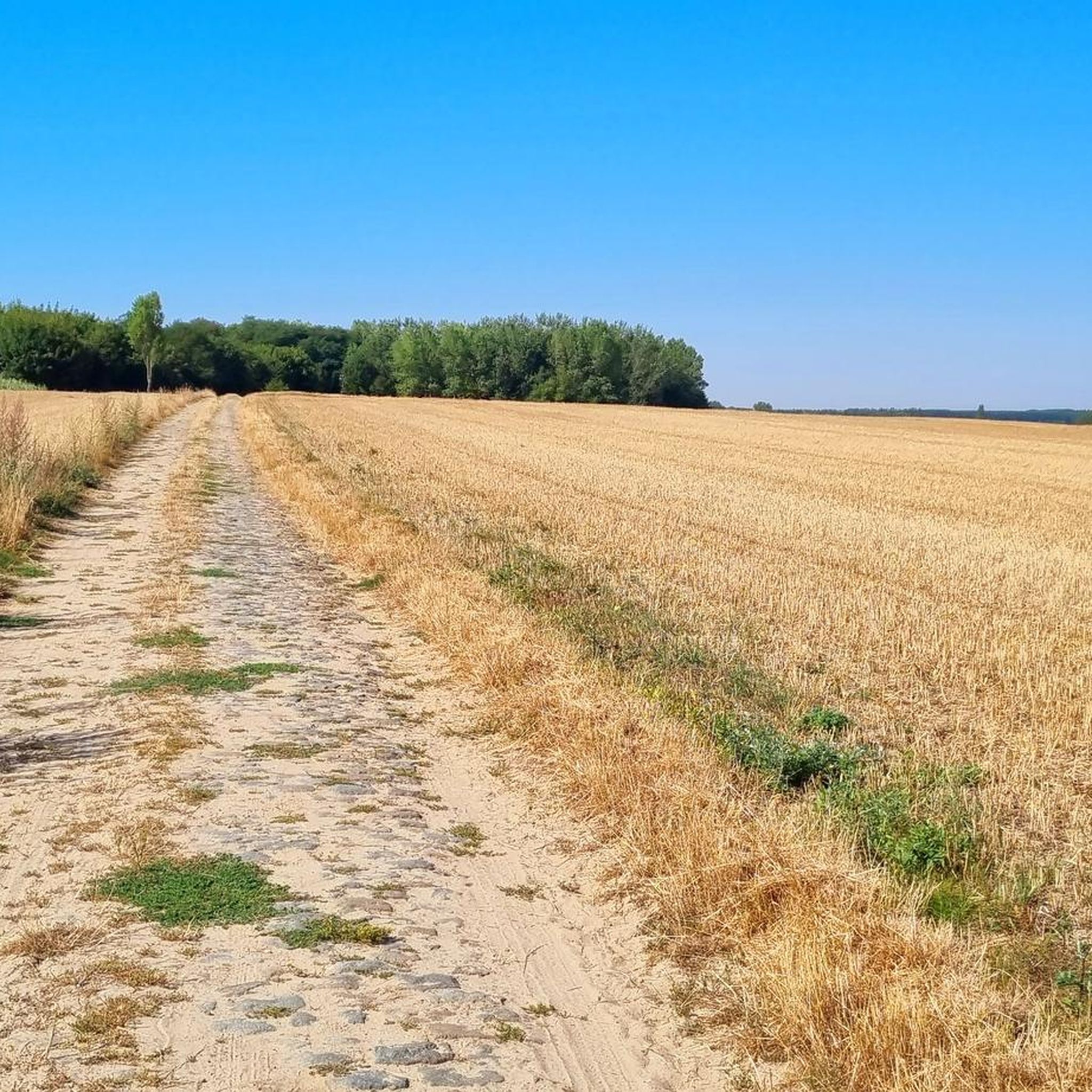
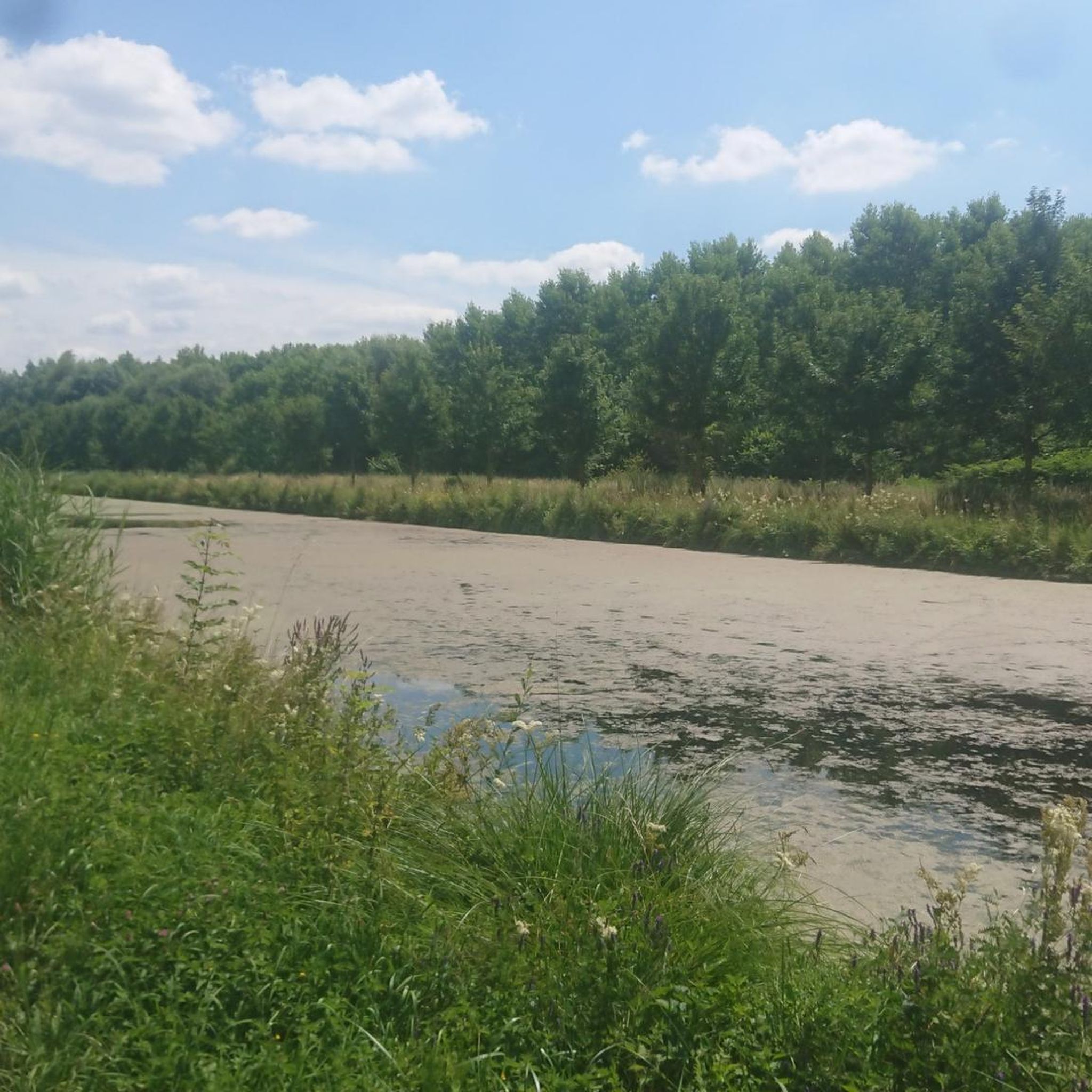
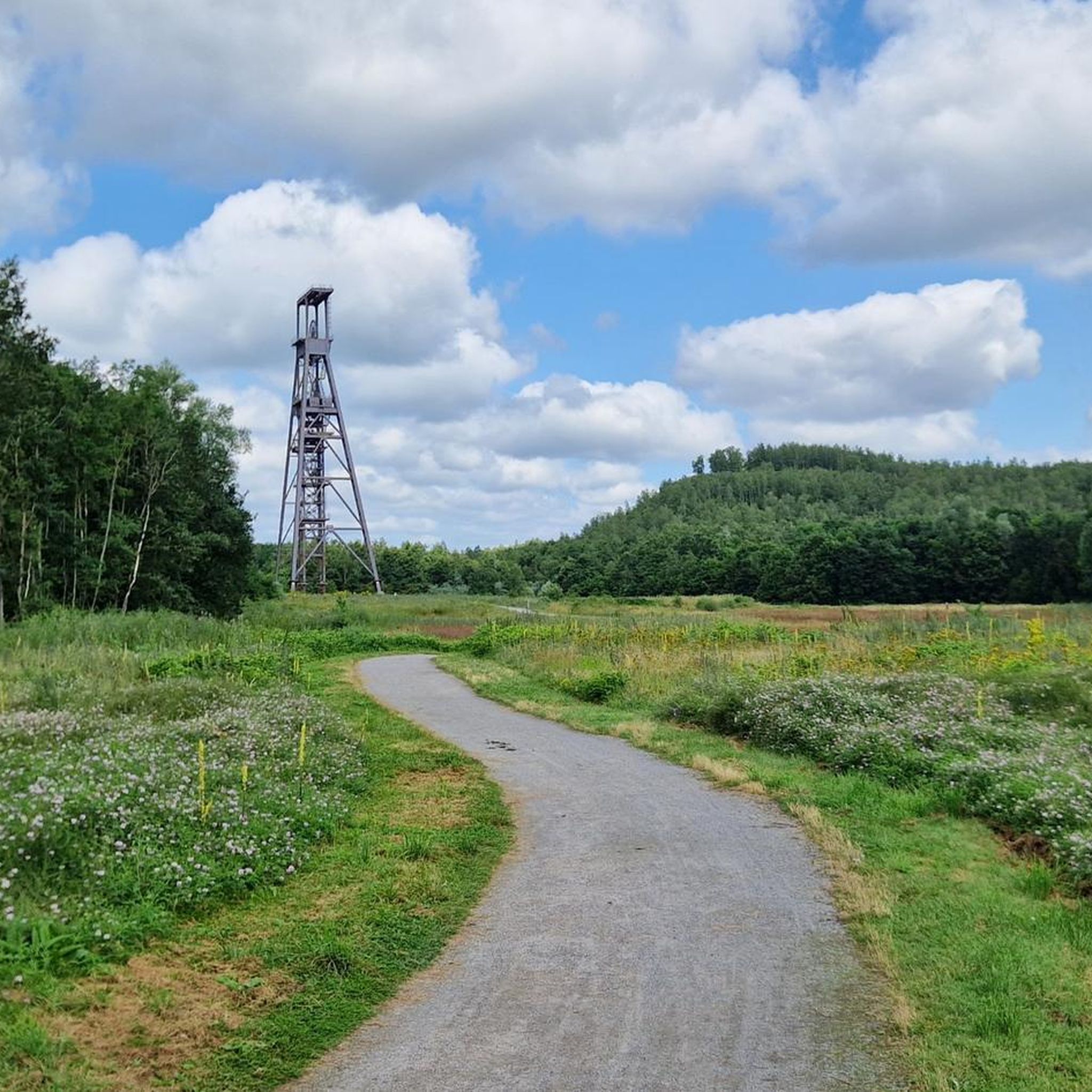
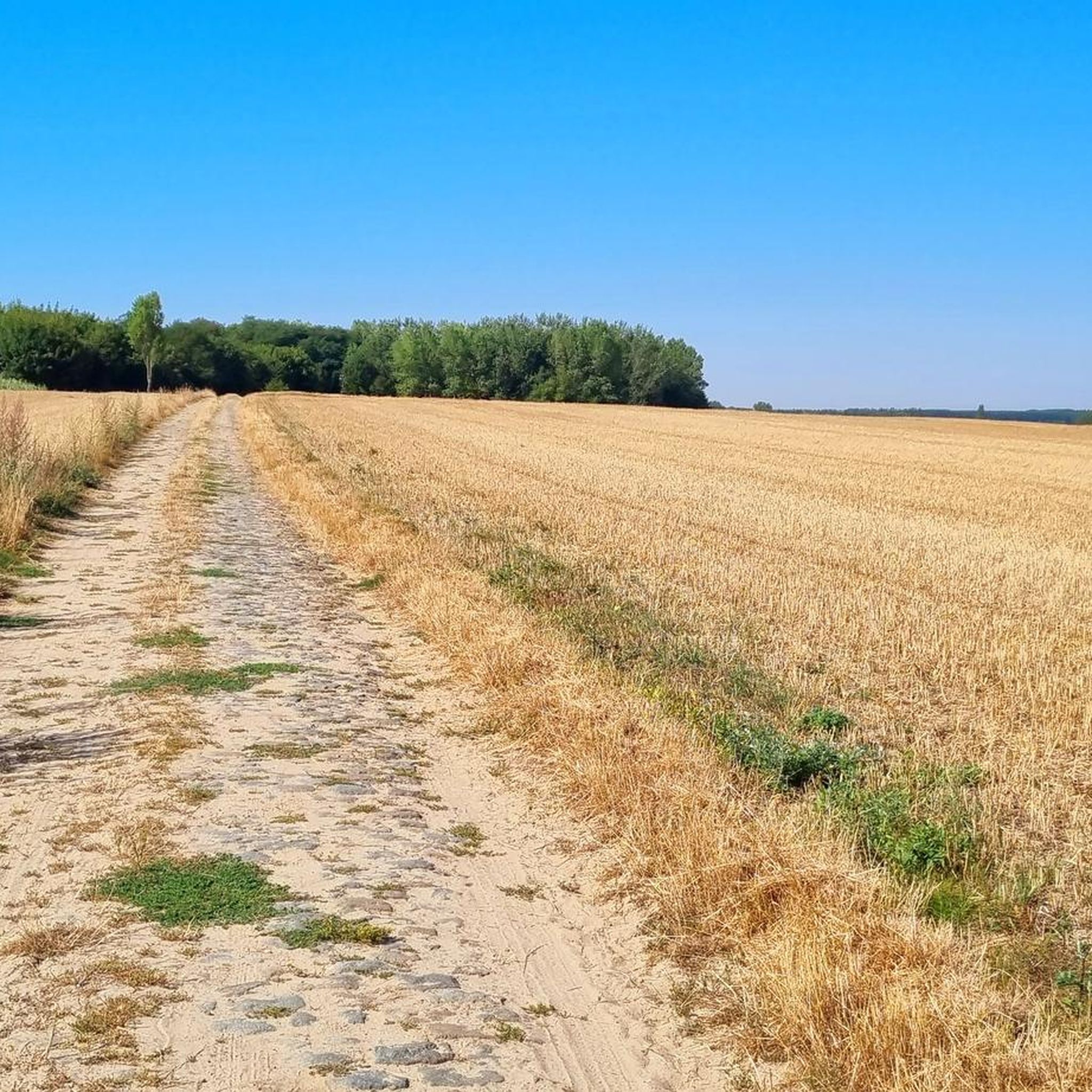
Jogging around Thun-Saint-Amand offers diverse terrain within the Scarpe-Escaut Regional Natural Park. The area is characterized by a network of waterways, including the Scarpe River and the Décours and Trétoire canals, providing numerous riverside paths and towpaths. While elevations are modest, ranging from approximately 14 to 38 meters, the varied topography offers gentle challenges. Proximity to the Forest of Flines les Mortagne also provides wooded trails for running.
Best jogging routes around Thun-Saint-Amand
- The most popular jogging route is Sablière…
Last updated: May 14, 2026
8
runners
5.60km
00:35
20m
20m
Moderate run. Good fitness required. Mostly paved surfaces. Suitable for all skill levels.
6
runners
Moderate run. Good fitness required. Mostly paved surfaces. Suitable for all skill levels.

Sign up for free
4
runners
8.47km
00:52
10m
10m
Moderate run. Good fitness required. Mostly paved surfaces. Suitable for all skill levels.
4
runners
5.84km
00:36
10m
10m
Moderate run. Good fitness required. Mostly paved surfaces. Suitable for all skill levels.
4
runners
7.14km
00:46
10m
10m
Moderate run. Good fitness required. Mostly paved surfaces. Suitable for all skill levels.
Get access to more routes and recommendations from other explorers.
Sign up for free
Already have an account?
Our route recommendations are based on thousands of hikes, rides, and runs completed by other people on komoot.
Start today with a free account
Your next adventure awaits.
Login or Signup
Tips from the Community

8km course very good for a walk and nature.
0
0

Along the Bléharies nature reserve, zone between old Scheldt arm and Scheldt canal / zone humide.
0
0

At the Scheldt/Scarpe confluence
1
0

You can cycle along next to the bareel.
0
0
Frequently Asked Questions
How many running routes are available in the Thun-Saint-Amand area?
There are over 440 running routes around Thun-Saint-Amand, offering a wide variety of options for all skill levels within the Scarpe-Escaut Regional Natural Park.
What kind of terrain can I expect on jogging trails near Thun-Saint-Amand?
The terrain around Thun-Saint-Amand is quite varied, featuring numerous riverside paths and towpaths along the Scarpe River and its canals, which are generally flat. You'll also find wooded trails, especially near the Forest of Flines les Mortagne, and gentle topographical variations with altitudes ranging from 14 to 38 meters, providing a mild challenge.
Are there running routes suitable for beginners or those looking for an easy jog?
Yes, Thun-Saint-Amand offers a good selection of easier running routes. Out of the over 440 available, 42 are specifically categorized as easy, making them perfect for beginners or a relaxed run.
What do other runners say about the trails in Thun-Saint-Amand?
The running routes in Thun-Saint-Amand are highly regarded by the komoot community, boasting an average rating of 4.7 stars from over 100 reviews. Runners often praise the natural beauty, the well-maintained paths, and the tranquil surroundings of the Scarpe-Escaut Regional Natural Park.
Are there any circular running routes in the area?
Yes, many of the running routes around Thun-Saint-Amand are circular. For example, the Sablière loop from Lecelles is a popular moderate 5.6 km circular route, and the Running loop from Nivelle offers an 8.5 km option.
Can I find running routes that pass by water features?
Absolutely. Thun-Saint-Amand is situated at a convergence of the Scarpe River and the Décours and Trétoire canals. Many routes follow these waterways, offering scenic views. You can explore routes like the Scheldt–Scarpe Confluence – Scarpe Lock loop from Château-l'Abbaye, which leads through riverine landscapes.
Are there any interesting landmarks or natural attractions to see along the running paths?
Yes, the region offers several points of interest. You might encounter the Towpath Along the Scarpe, which is a highlight in itself, or pass by the serene Goriaux Pond. Other notable spots include the Soyons Amis Sculpture by Naïs D’Hey.
What is the longest running route available in Thun-Saint-Amand?
Among the featured routes, the Scheldt–Scarpe Confluence – Scarpe Lock loop from Château-l'Abbaye is one of the longer options, covering approximately 11.2 km. For an even longer run, the Mont de Ligne – Sablière loop from Lecelles is 10.2 km and features varied terrain.
Are there any shorter running options for a quick workout?
Certainly. If you're looking for a shorter run, the Scarpe Lock loop from Château-l'Abbaye is a moderate 5.2 km route. Another great option is the Sablière loop from Lecelles, which is about 5.6 km.
Is the area suitable for running with dogs or children?
The Scarpe-Escaut Regional Natural Park, where Thun-Saint-Amand is located, is generally very welcoming to outdoor activities. The numerous flat towpaths and wooded trails provide safe and enjoyable environments for families and dogs, though it's always advisable to check specific trail regulations for dog-friendly policies.
What makes Thun-Saint-Amand a good destination for running?
Thun-Saint-Amand is an excellent running destination due to its location within the protected Scarpe-Escaut Regional Natural Park. This provides a wealth of maintained trails, fresh air, and diverse natural surroundings, including riverine paths and wooded areas. The varied yet gentle topography offers engaging routes for all fitness levels.
Most popular routes around Thun-Saint-Amand
Most popular attractions around Thun-Saint-Amand

Get inspired with the komoot mobile app


Explore more
Browse the best Running Trails & Routes in other regions.
