The 4 Most Amazing Peaks around Glandage
Mountain peaks near Glandage, a commune in the Drôme department of France, offer diverse natural features. Nestled in the Diois massif, the area provides geological interest and panoramic views. It is known for its varied landscapes, ranging from high summits to unique rock formations. The region is a destination for outdoor activities, particularly hiking.
Best mountain peaks around Glandage
- The most popular mountain peaks is Pié Ferré (Le Dôme) – 2,041 m, a summit that offers a 360-degree panorama…
Last updated: June 29, 2026
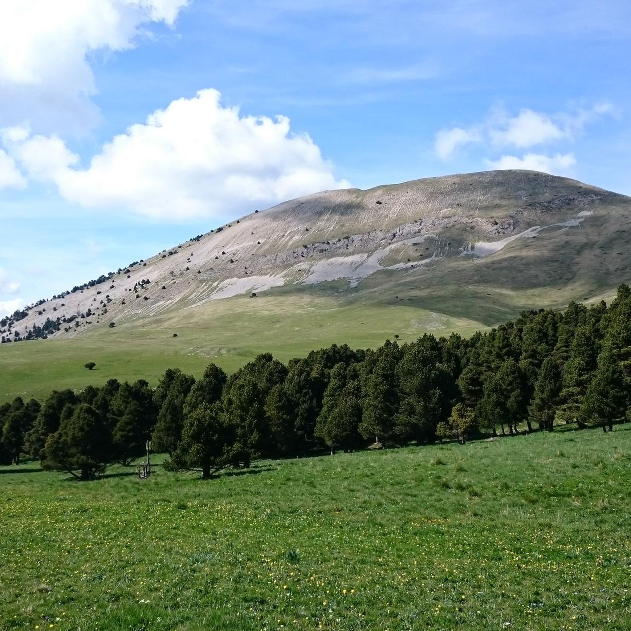
Pié Ferré (Le Dôme) – 2,041 m
Highlight • Summit
Translated by Google •
Tip by

Jocou Mountain
Highlight • Summit
Translated by Google •
Tip by

Sign up now to discover places like this
Get recommendations on the best single tracks, peaks, & plenty of other exciting outdoor places.
Sign up for free
Mont Barral
Highlight • Summit
Translated by Google •
Tip by
La Gresiere Summit
Highlight • Summit
Translated by Google •
Tip by

View of Mont Aiguille from Tête Chevalière
Highlight • Viewpoint
Translated by Google •
Tip by

Sign up for free to discover even more peaks around Glandage.
Sign up for free
Already have an account?
Start today with a free account
Your next adventure awaits.
Login or Signup

Tips from the Community

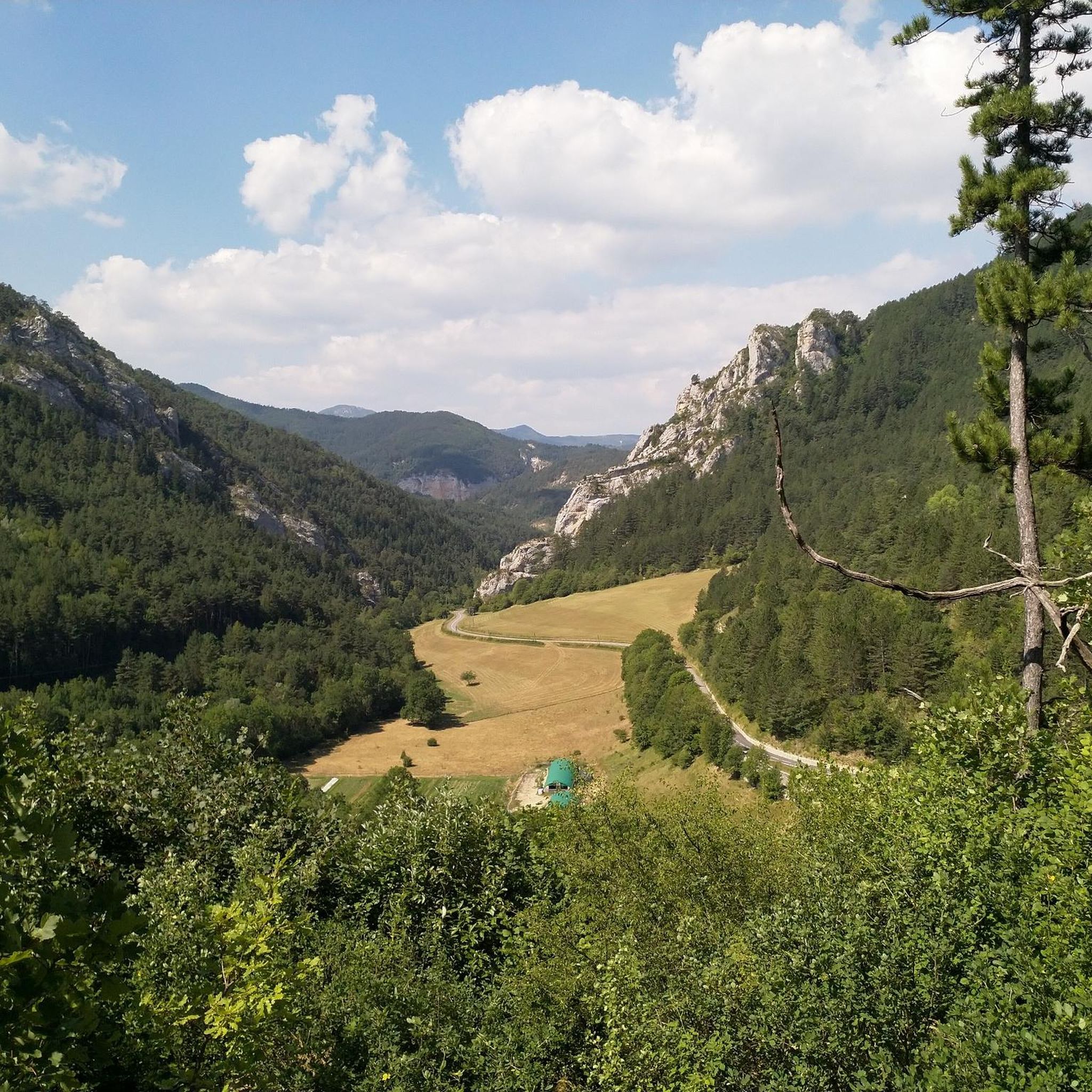
La Grésière peaks at 1,493 meters. The GR 91 long-distance hiking trail passes just below it. Don't hesitate to deviate from the main route to climb to the summit. The 360-degree panorama there is magnificent.
1
0

Very pretty viewpoint, very rolling, and you will surely be lucky enough to see some marmots and chamois! Quite a few passages under the trees, possibility to do it even if it's hot! 👌
0
0
Very pretty, not technical trail for a hike, however plan to do the route in the opposite direction (start with the small climb) if you want a more rolling trail route. Very beautiful landscapes (no dangerous areas / climbing and as a bonus the possibility of seeing animals!
0
0


We wanted to do this loop. But after the summit going towards the "Col de Seysse" we followed the Komoot route which directed us to the ridge. At one point the path got lost, and we would have had to go down very steep and very exposed ravines. We gave up and went back on our tracks. Another serpentine path, next to the ridge is closed because of the pasture. As a result this "Loop" is not recommended and should be removed from Komoot!
1
0

Culminating at 1,951 meters above sea level, this summit is a formidable viewpoint over the Hauts Plateaux du Vercors, the summits of Écrins and Dévoluy. Majestic !
0
0
panoramic view, Vercors (Mt Aiguille/ Grand Veymont)/ Écrins / Dévoluy (Obiou)
0
0

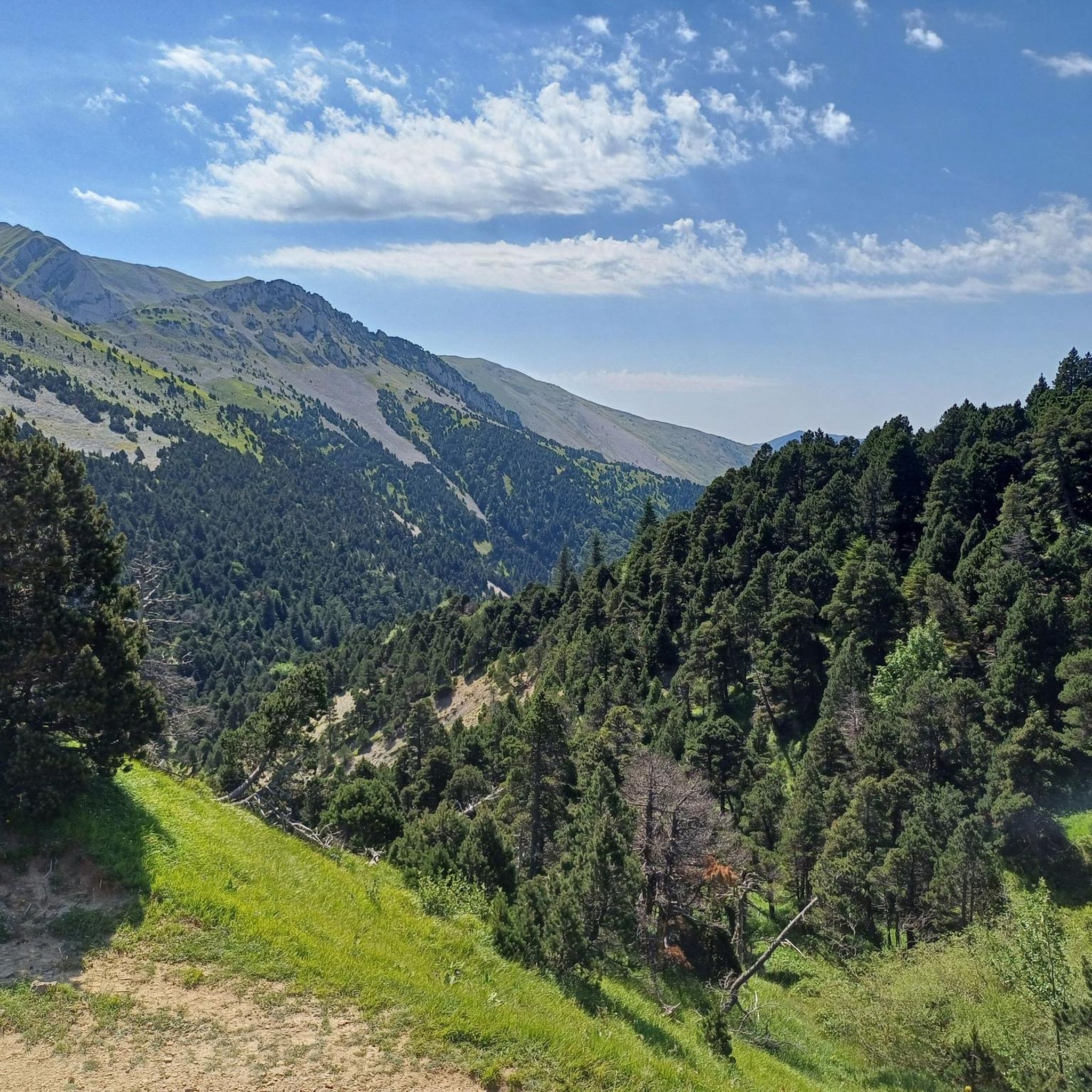
The Pié Ferré (2,041 m) which is also called Dôme offers an exceptional 360 panorama! To the south, the Trois Becs, to the north the Mont Aiguille and the Grand Veymont!
1
0
Frequently Asked Questions
What are the best viewpoints from the mountain peaks around Glandage?
For truly expansive views, consider climbing to Pié Ferré (Le Dôme), which offers a breathtaking 360-degree panorama of the Diois valley, including the Trois Becs, Mont Aiguille, and Grand Veymont. Another excellent choice is Jocou Mountain, providing magnificent vistas of the Trièves, Vercors, and Dévoluy massifs, with Mont Ventoux visible on clear days. La Gresiere Summit also boasts a superb 360-degree panorama.
Where is Glandage located and what kind of mountain landscape can I expect?
Glandage is a commune nestled in the Drôme department of France, specifically within the Diois massif. The region offers a diverse mountain landscape, characterized by picturesque natural features, geological curiosities, and excellent hiking opportunities. You'll find a mix of towering peaks, unique rock formations, and scenic passes, providing a rich experience for nature enthusiasts.
Are there any unique geological features to explore near Glandage?
Yes, the region is home to the remarkable Les Sucettes de Borne. These are narrow, vertical rock formations, tens of meters high, that present an astonishing natural spectacle. They are a major highlight and can be accessed via various hiking trails, offering a striking appearance and a contrast of vegetation from semi-Mediterranean pine forests to mixed fir and beech forests.
What is the highest mountain peak in the Glandage commune?
The highest point within the commune of Glandage is Le Jocou, standing at 2051 meters. It's highly regarded for its 'bird's-eye view' (vue d'avion), offering expansive panoramas of the surrounding landscapes.
What outdoor activities can I do near these mountain peaks?
Beyond hiking to the peaks, the area around Glandage offers a variety of outdoor activities. You can explore numerous road cycling routes, enjoy gravel biking, or tackle challenging MTB trails. Many routes incorporate scenic passes like the Col de Grimone, providing diverse landscapes.
Are there challenging mountain climbs around Glandage?
Yes, some peaks offer a significant challenge. For instance, reaching the summit of Mont Barral (1903m) is not easy, but it rewards climbers with a fantastic view of the Dévoluy massif. Similarly, the ascent to Pié Ferré (Le Dôme) is considered a rewarding challenge.
What is the best time to hike the mountains around Glandage?
Hiking to peaks like Le Jocou is particularly popular under clear skies, which allow for magnificent vistas. Generally, late spring, summer, and early autumn offer the most favorable weather conditions for exploring the mountain peaks, avoiding heavy snow or extreme cold. Always check the local weather forecast before heading out.
Are there any mountain passes suitable for cycling near Glandage?
The Col de Grimone (1319m / 1318m) is a significant mountain pass near Glandage, popular with cyclists. It's considered an easy climb for cyclists coming from Lus-la-Croix-Haute and allows visitors to discover the diverse landscapes transitioning between Mediterranean and mountainous environments.
What views can I expect from Tête Chevalière?
Culminating at 1,951 meters above sea level, Tête Chevalière offers a formidable viewpoint over the Hauts Plateaux du Vercors, as well as the summits of Écrins and Dévoluy. It provides a superb view of Mont Aiguille.
Are there any long-distance hiking trails near the peaks?
Yes, the GR 91 long-distance hiking trail passes just below La Gresiere Summit. Hikers can easily deviate from the main route to climb to the summit for its magnificent 360-degree panorama.
What kind of wildlife might I encounter in the mountains around Glandage?
The Diois massif, where Glandage is located, is rich in biodiversity. While specific wildlife sightings can vary, you might encounter various bird species, including raptors, as well as mountain fauna typical of the French Alps, such as chamois or ibex in higher, more remote areas. The diverse vegetation, from pine forests to mixed forests, supports a range of ecosystems.
Most popular routes around Glandage
Most popular attractions around Glandage

Get inspired with the komoot mobile app


Explore more
See even more amazing summits around Glandage with these guides:
