The best walks and hikes around Glandage
4.7
(120)
733
hikers
19
hikes
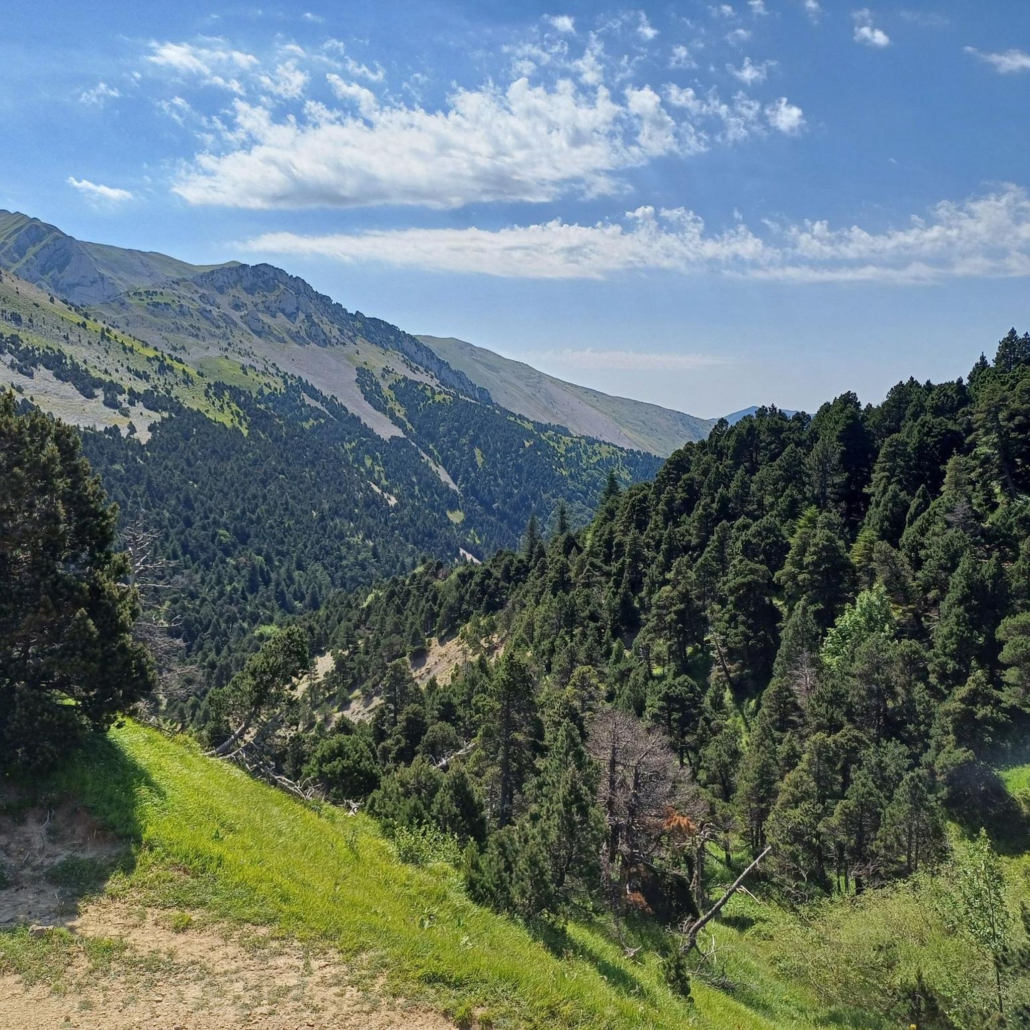
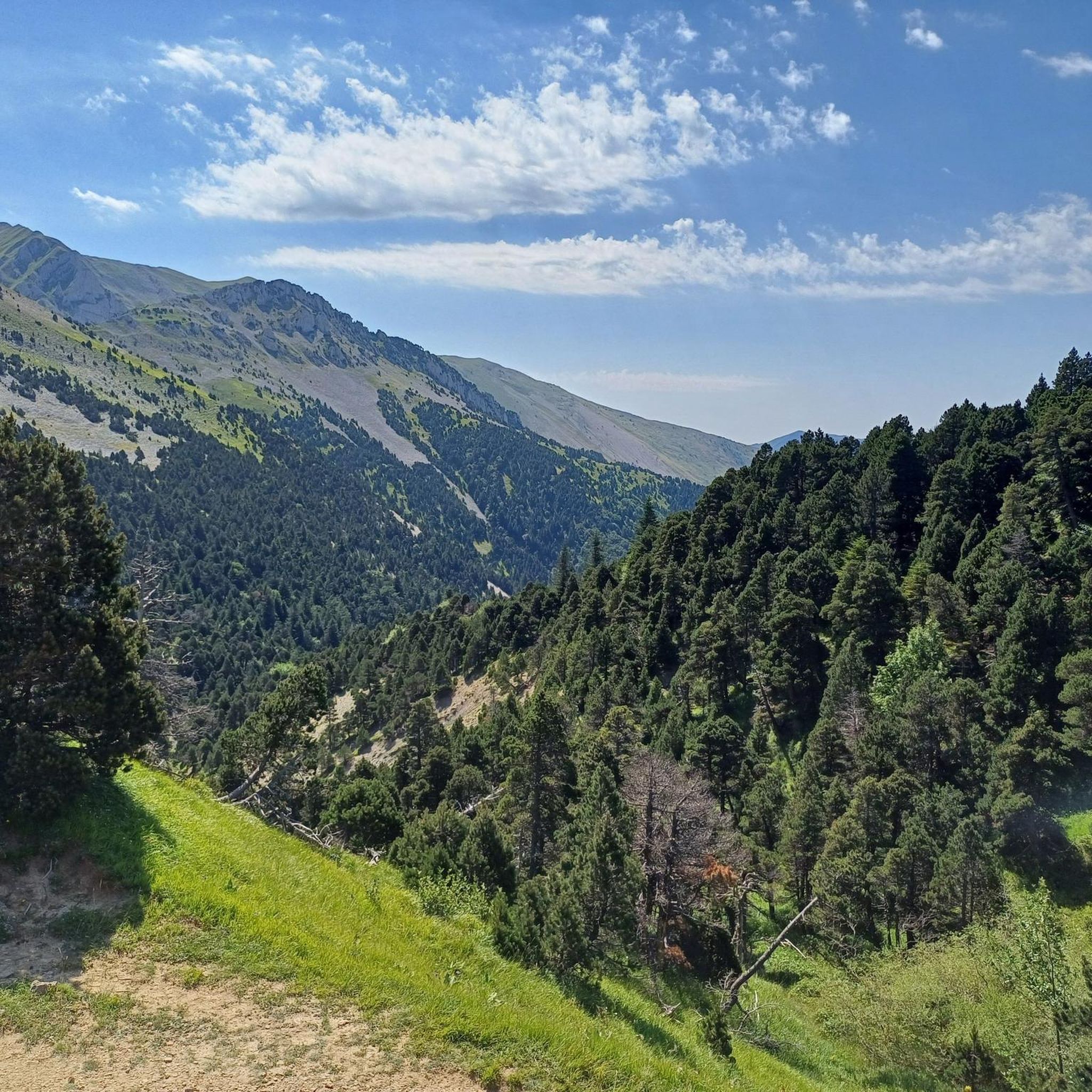
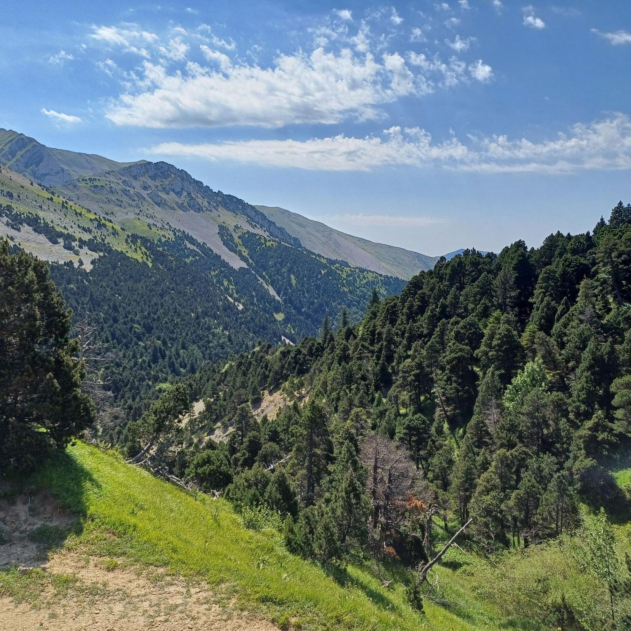
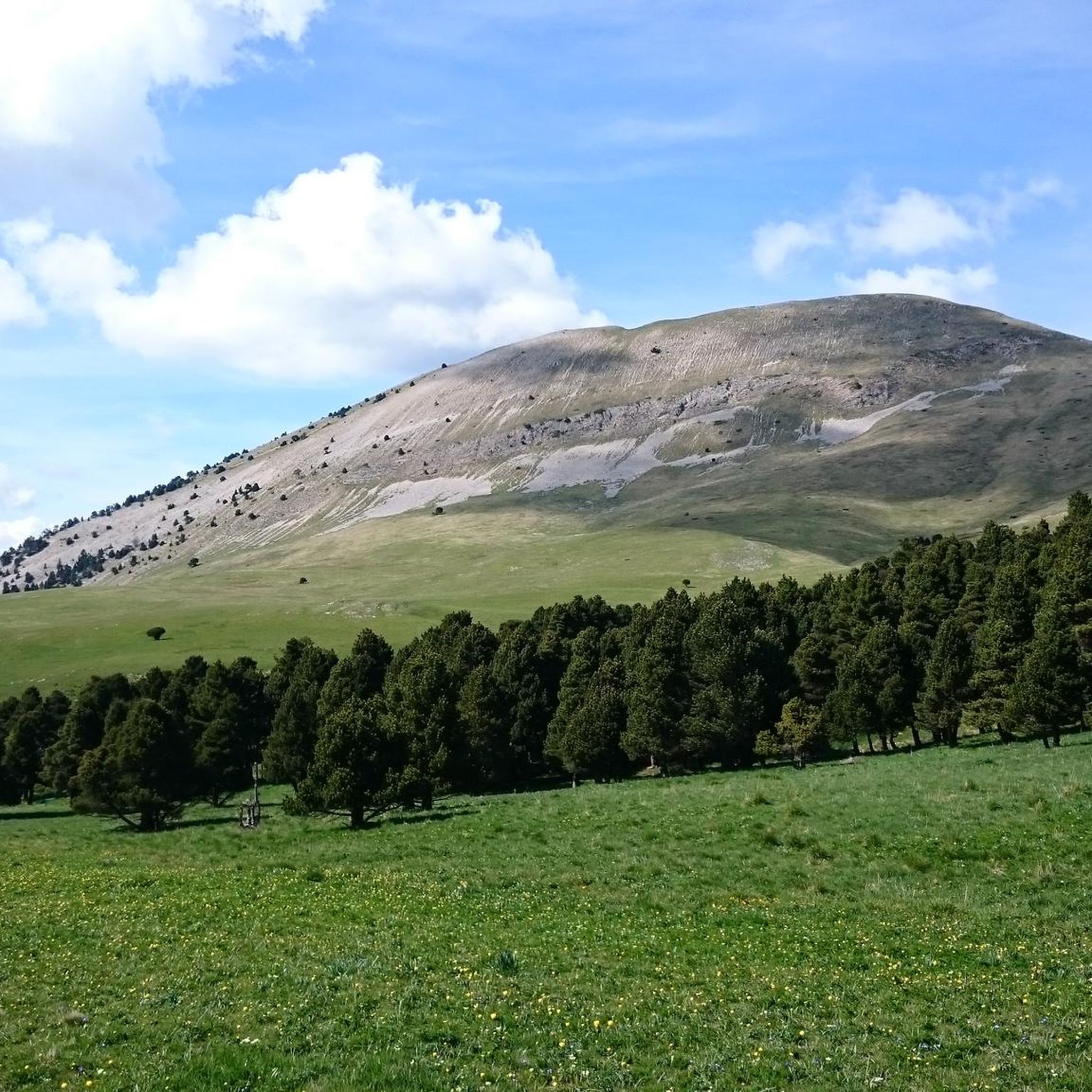
Hiking around Glandage offers diverse terrain within the Vercors Regional Nature Park, characterized by varied landscapes and unique geological formations. The region features impressive vertical rock formations like Les Sucettes de Borne, alongside mountains such as Le Jocou and Toussière. Trails traverse semi-Mediterranean pine forests, lush mixed forests of fir, beech, and boxwood, and dramatic natural amphitheaters like the Cirque d'Archiane.
Best hiking trails around Glandage
- The most popular hiking route is Montagne de Jocou – loop in the Vercors…
Last updated: July 1, 2026
4.6
(5)
47
hikers
10.5km
04:12
720m
720m
Moderate hike. Good fitness required. Mostly accessible paths. Sure-footedness required.
5.0
(1)
29
hikers
14.1km
05:31
870m
860m
Hard hike. Very good fitness required. Mostly accessible paths. Sure-footedness required.

Sign up for free
4.8
(20)
94
hikers
4.98km
01:47
280m
280m
Easy hike. Great for any fitness level. Easily-accessible paths. Suitable for all skill levels.
4.9
(8)
35
hikers
12.4km
04:28
620m
620m
Moderate hike. Good fitness required. Mostly accessible paths. Sure-footedness required.
5.0
(1)
13
hikers
10.0km
03:30
520m
520m
Moderate hike. Good fitness required. Mostly accessible paths. Sure-footedness required.
Get access to more routes and recommendations from other explorers.
Sign up for free
Already have an account?
Our route recommendations are based on thousands of hikes, rides, and runs completed by other people on komoot.
Start today with a free account
Your next adventure awaits.
Login or Signup

Tips from the Community

We wanted to do this loop. But after the summit going towards the "Col de Seysse" we followed the Komoot route which directed us to the ridge. At one point the path got lost, and we would have had to go down very steep and very exposed ravines. We gave up and went back on our tracks. Another serpentine path, next to the ridge is closed because of the pasture. As a result this "Loop" is not recommended and should be removed from Komoot!
1
0

A walk that leads to the Sucettes, these majestic vertical rocks. The loop starts in the cool undergrowth in a heatwave. After the Sucettes, my descent is via a wider track. Parking possible at the start/finish point.
0
0

These curious geological treasures deserve to be visited. Beautiful and impressive natural structures.
2
0
Flowers and pastures complete the views of the Col de Jiboui with breathtaking panoramas.
2
0
Once you reach the summit pastures, it offers magnificent views of the Trièves, the Vercors massif and the Dévoluy massif. On a clear day, you can see Mont Ventoux.
2
0

A pass that is deserved especially in hot weather: the climate of the drome spares no one!
1
0
beautiful, easily accessible. Equipped for climbing.
0
0

Easy col, from Lus-la-Croix-Haute is just 7.5kms and around 4% average gradient
3
0
Frequently Asked Questions
How many hiking trails are available around Glandage?
Glandage offers a rich network of trails, with over 30 marked routes totaling more than 280 kilometers of walking paths. Komoot lists 19 detailed hiking routes in the area, catering to various skill levels.
Are there easy hiking options suitable for beginners in Glandage?
Yes, Glandage has several easy hiking options. For instance, the Col des Prêtres loop from Col de Grimone is an easy 4.8 km trail with moderate elevation gain, perfect for a relaxed walk.
What kind of natural features can I expect to see on hikes around Glandage?
The Glandage area, nestled within the Vercors Regional Nature Park, is known for its striking natural features. You can expect to see unique geological formations like the narrow, vertical rock pillars known as Les Sucettes de Borne, panoramic views from mountains such as Le Jocou, and dramatic natural amphitheatres like the Cirque d'Archiane. The landscape also features diverse forests, from semi-Mediterranean pine to lush mixed fir and beech.
Are there any circular hiking routes in Glandage?
Yes, many of the trails around Glandage are circular. Popular options include the Montagne de Jocou – loop in the Vercors regional natural park, which offers panoramic views, and the Les Sucettes de Borne – Les Sucettes de Borne loop from Glandage, showcasing the distinctive rock formations.
What is the best time of year to go hiking in Glandage?
The best time for hiking in Glandage is typically from spring through autumn, when the weather is mild and trails are clear. Summer offers warm conditions, while spring and autumn provide pleasant temperatures and vibrant scenery. Winter hiking is also possible, with opportunities for snowshoeing and ski touring in the wider Diois region.
Are there any family-friendly hiking trails in Glandage?
While specific family-friendly routes are not detailed, the presence of easy trails suggests options suitable for families. The area's diverse landscapes and natural features, such as the unique Sucettes de Borne, can make for engaging walks for children. It's advisable to check individual route details for length and elevation to ensure they match your family's capabilities.
Can I bring my dog on the hiking trails in Glandage?
Generally, dogs are permitted on trails within the Vercors Regional Nature Park, but it's always recommended to keep them on a leash, especially in areas with wildlife or livestock. Specific regulations may apply in certain protected zones, so checking local signage is advised.
What are some notable landmarks or points of interest near the hiking trails?
Beyond the natural beauty, you can explore several points of interest. The dramatic Gorges des Gâts offer a unique hiking experience with tunnels and bridges. You might also encounter mountain passes like Col de Grimone, or even the Col de Menée Vulture Observation Point for wildlife spotting.
What do other hikers enjoy the most about hiking in Glandage?
The hiking routes in Glandage are highly rated by the komoot community, with an average score of 4.7 stars from over 100 reviews. Hikers frequently praise the diverse terrain, the stunning panoramic views, and the unique geological formations like Les Sucettes de Borne. The variety of trails, from easy walks to challenging mountain ascents, is also a highlight.
Is there parking available at the trailheads in Glandage?
Yes, parking is generally available at common starting points for hikes around Glandage, such as near the village center or at popular mountain passes like Col de Boulc. Specific parking information can often be found in the details of individual route guides.
Are there any challenging hikes for experienced hikers in Glandage?
Absolutely. Glandage offers several challenging routes for experienced hikers. For example, the Tour des Sucettes de Borne – loop in the Vercors regional natural park is a difficult 14.1 km path with significant elevation changes, showcasing the region's rugged beauty.
Can I find accommodation or places to eat near the hiking areas in Glandage?
Glandage is a small mountain village, and while options might be limited directly within the village, the wider Diois region offers various accommodations, cafes, and restaurants. For more information on local amenities, you can consult the Diois-Tourisme website: diois-tourisme.com.
Most popular attractions around Glandage

Get inspired with the komoot mobile app


Explore more
Browse the best Hikes in other regions.
