Attractions and Places To See around Mausoléo - Top 20
Best attractions and places to see around Mausoléo include a variety of natural features and historical sites. The region features mountain passes, scenic valleys, and traditional settlements. It offers diverse landscapes for exploration, from high-altitude viewpoints to historic villages. This area provides opportunities to engage with both its natural environment and cultural heritage.
Best attractions and places to see around Mausoléo
- The most popular attractions is Sant' Antonino, a settlement known for its picturesque village setting. It offers a…
Last updated: May 9, 2026
Sant' Antonino
Highlight • Settlement
Not every restaurant is really recommended.
Translated by Google •
Tip by

Panorama of the Bonifatu valley
Highlight • Summit
Translated by Google •
Tip by
Sign up now to discover places like this
Get recommendations on the best single tracks, peaks, & plenty of other exciting outdoor places.
Sign up for free
Bocca di Battaglia (1010 m)
Highlight • Summit
Translated by Google •
Tip by

Carozzu Refuge
Highlight • Mountain Hut
Translated by Google •
Tip by

Montemaggiore - Col de Salvi - Cateri
Highlight (Segment) • Mountain Pass
Translated by Google •
Tip by

Sign up for free to discover even more attractions around Mausoléo.
Sign up for free
Already have an account?
Start today with a free account
Your next adventure awaits.
Login or Signup
Tips from the Community


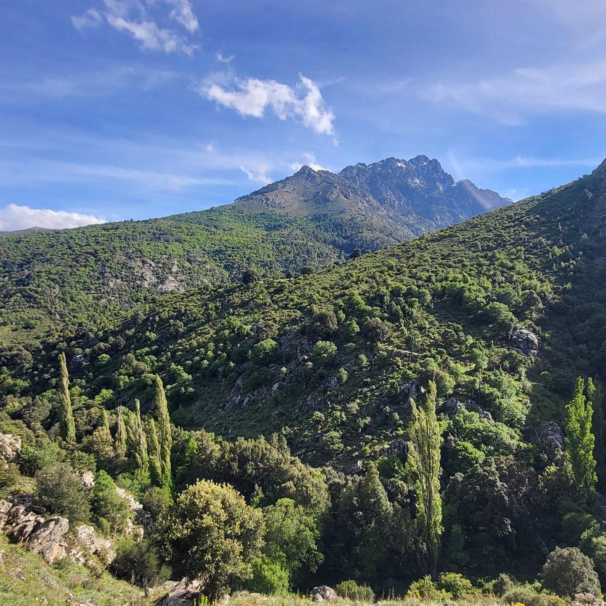
Start of a very nice walk
0
0
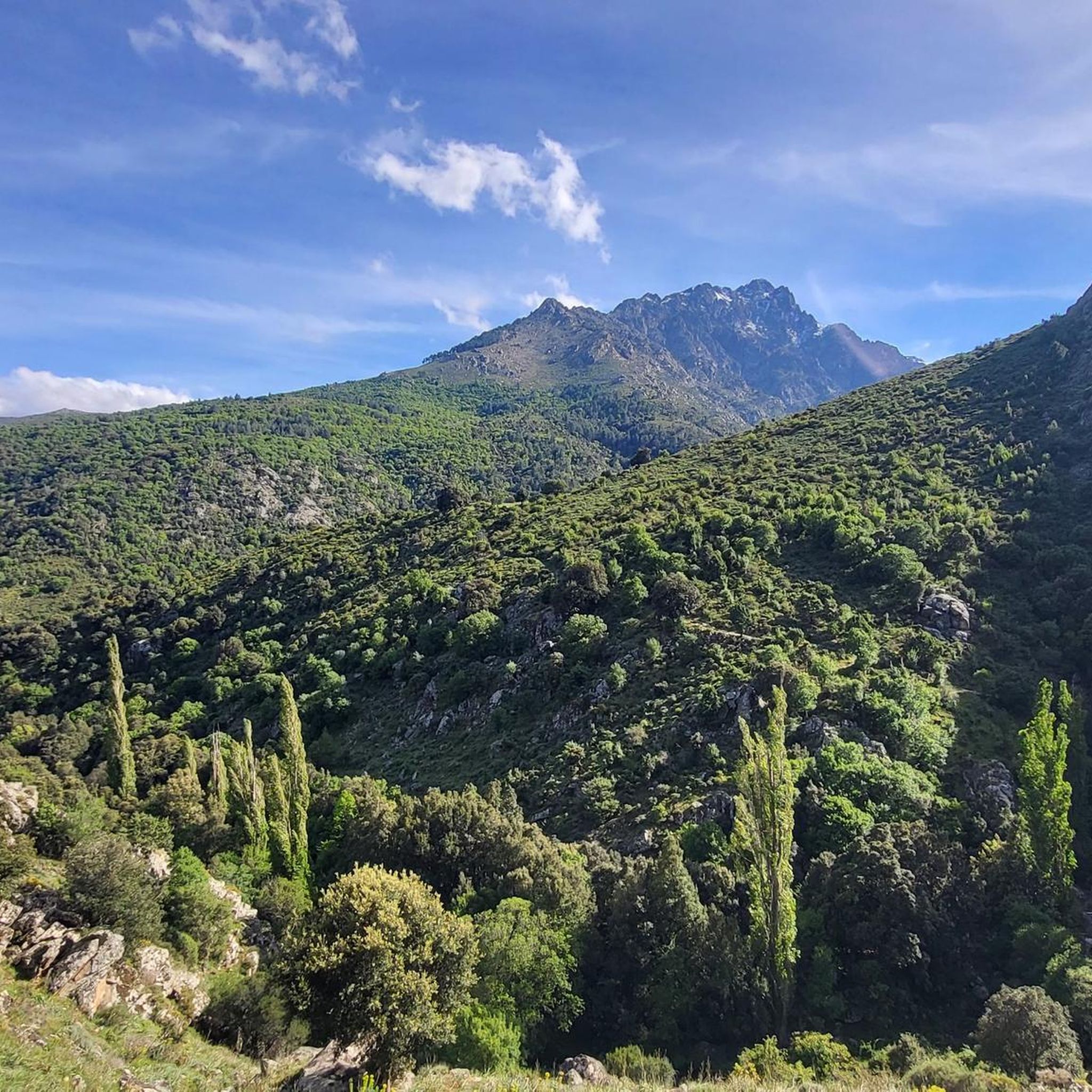
very pretty here, very pretty
0
0
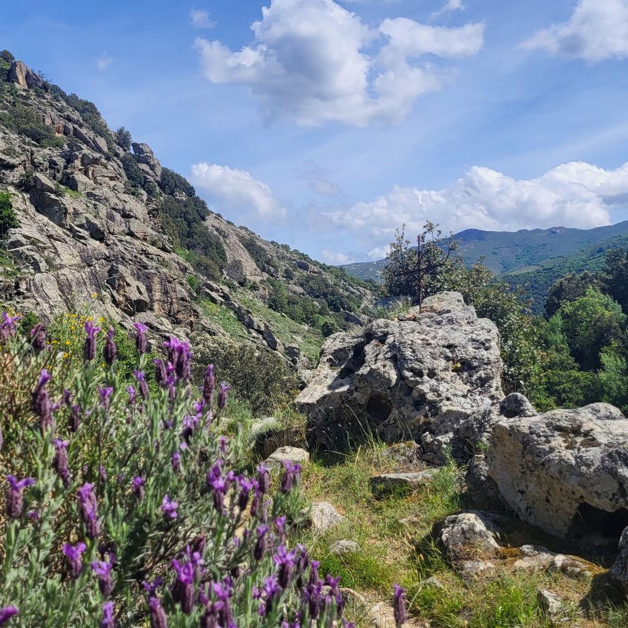
very pretty here, very pretty
1
0

One of the most beautiful villages in Balagne, alleys, covered passages and houses blend into the rock. The view of the plain and the sea is splendid.
1
0

The pass itself has a provisional pass sign at the junction to a fenced antenna system, but the D 151 towards Montegrosso as a mountain road climbs by about 15 meters in altitude over the next undulating 800 meters.
1
0
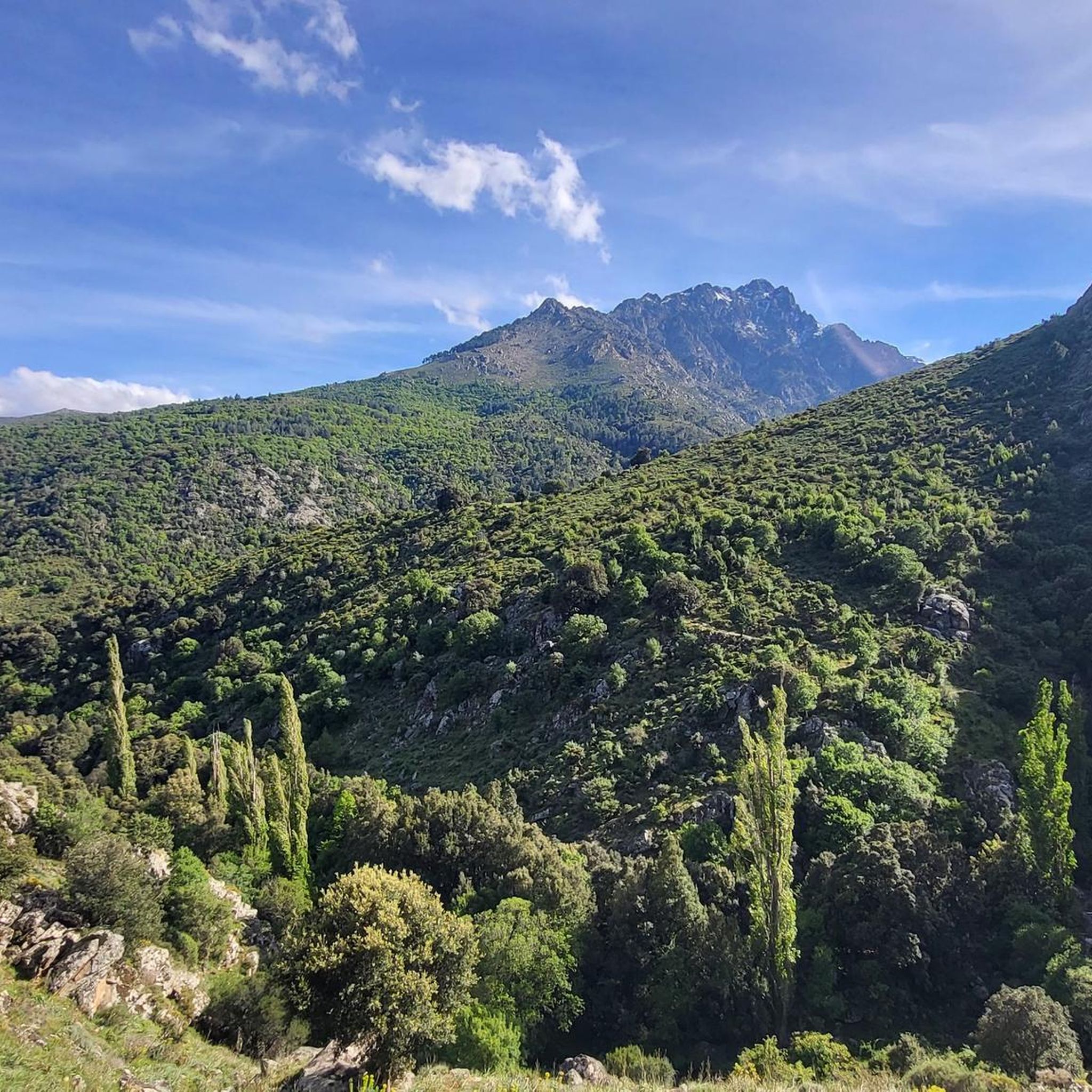
For those who are planning a detour to the Forêt Domaniale de Bonifatu or who are thinking of driving past Calvi and heading southwest over the Col de Marsolino, it even represents a shortcut via a beautiful hillside road. Which brings us to the most important point: the most beautiful panorama of the bay of Calvi and the ridge towards Monte Cinto is probably from the road over the Col de Salvi. This means that on the D 151 leading over the pass, despite the very moderate traffic volume, you may well come across a coach that is too big for the road, which is mostly only one and a half lanes wide.
1
1
The Col de Salvi is a quiet, very worthwhile connection option for racing cyclists who are heading towards Calvi from the (north)east via the Col de San Colombano or the Bocca di a Battaglia.
1
0
Frequently Asked Questions
What types of attractions can I find around Mausoléo?
The area around Mausoléo features a variety of natural and historical sites. You can explore picturesque settlements like Sant' Antonino, enjoy expansive views from summits and mountain passes such as Panorama of the Bonifatu valley and Montemaggiore - Col de Salvi - Cateri, and discover mountain huts like Carozzu Refuge.
Which attractions offer the best panoramic views?
For breathtaking views, visit Panorama of the Bonifatu valley, which provides expansive vistas of the valley. Another excellent spot is Montemaggiore - Col de Salvi - Cateri, a mountain pass offering wide panoramas over the Bay of Calvi and the Balagne region. Bocca di Battaglia (1010 m) also boasts an outstanding panorama, including views of the sea.
Are there any historical or cultural sites to visit?
Yes, Sant' Antonino is a notable historical settlement known for its picturesque, car-free village setting, allowing visitors to explore its charm on foot. It features traditional architecture and a relaxed atmosphere.
What outdoor activities are available near Mausoléo?
The region around Mausoléo is excellent for outdoor enthusiasts. You can find various cycling routes, including road cycling and touring bicycle options, as well as numerous running trails. For detailed routes, explore the Road Cycling Routes around Mausoléo, Cycling around Mausoléo, and Running Trails around Mausoléo guides.
Are there specific cycling routes recommended around Mausoléo?
Yes, for road cycling, consider the 'Calvi and Fango Valley Loop' (difficult, 78.8 km) or the 'Belgodère – Montemaggiore - Col de Salvi - Cateri loop from Calenzana' (difficult, 177.7 km). For touring, routes like 'Calenzana – Montemaggiore loop from Calenzana' (difficult, 38.3 km) are popular. You can find more options in the Road Cycling Routes and Cycling around Mausoléo guides.
Can I find hiking trails suitable for different skill levels?
While specific difficulty levels for hiking trails are not detailed for all attractions, the area offers varied terrain. For instance, the ascent to the suspension bridges near Panorama of the Bonifatu valley is described as very steep. The Running Trails around Mausoléo guide lists routes with varying difficulties, such as the 'Lamitu Creek – Bonifatu forest loop' (difficult, 4.4 km).
Is there parking available at the main attractions?
For Sant' Antonino, vehicles must be parked in a large paid parking lot outside the village, as it is a car-free settlement. For other mountain passes and viewpoints, parking availability may vary, so it's advisable to check specific location details if driving.
What is the best time of year to visit Mausoléo?
Given the region's mountain passes and hiking trails, spring and autumn generally offer pleasant weather for outdoor activities and exploration. Summer can be warm, especially for strenuous hikes, but is ideal for enjoying mountain streams. Winter might bring snow to higher elevations, impacting accessibility to some passes.
Are there family-friendly activities or places around Mausoléo?
Exploring the car-free village of Sant' Antonino can be a pleasant experience for families. Additionally, some hiking trails, particularly those leading to scenic viewpoints, might be suitable for families depending on their length and difficulty. Always check trail specifics for suitability.
What do visitors enjoy most about the attractions around Mausoléo?
Visitors frequently praise the stunning panoramic views, especially from spots like Panorama of the Bonifatu valley and Montemaggiore - Col de Salvi - Cateri. The charm of picturesque villages like Sant' Antonino and the welcoming atmosphere of mountain huts such as Carozzu Refuge are also highly appreciated.
Are there places to eat or stay near the attractions?
Yes, some attractions offer amenities. Sant' Antonino has cafes and restaurants. The Carozzu Refuge provides accommodation, a restaurant, and a pub, making it a great stop for hikers. Other locations, particularly mountain passes, might have limited facilities.
Can I bring my dog to the trails and attractions?
While specific dog-friendly policies for each attraction are not detailed, many outdoor trails in natural areas generally welcome dogs, often on a leash. For settlements like Sant' Antonino, it's best to check local regulations or signage regarding pets.
Most popular attractions around Mausoléo

Get inspired with the komoot mobile app


Explore more
Still not found the Highlight you’re looking for? See guides of the top attractions in other regions:
