The best MTB trails around Mausoléo
4.6
(61)
376
riders
20
rides
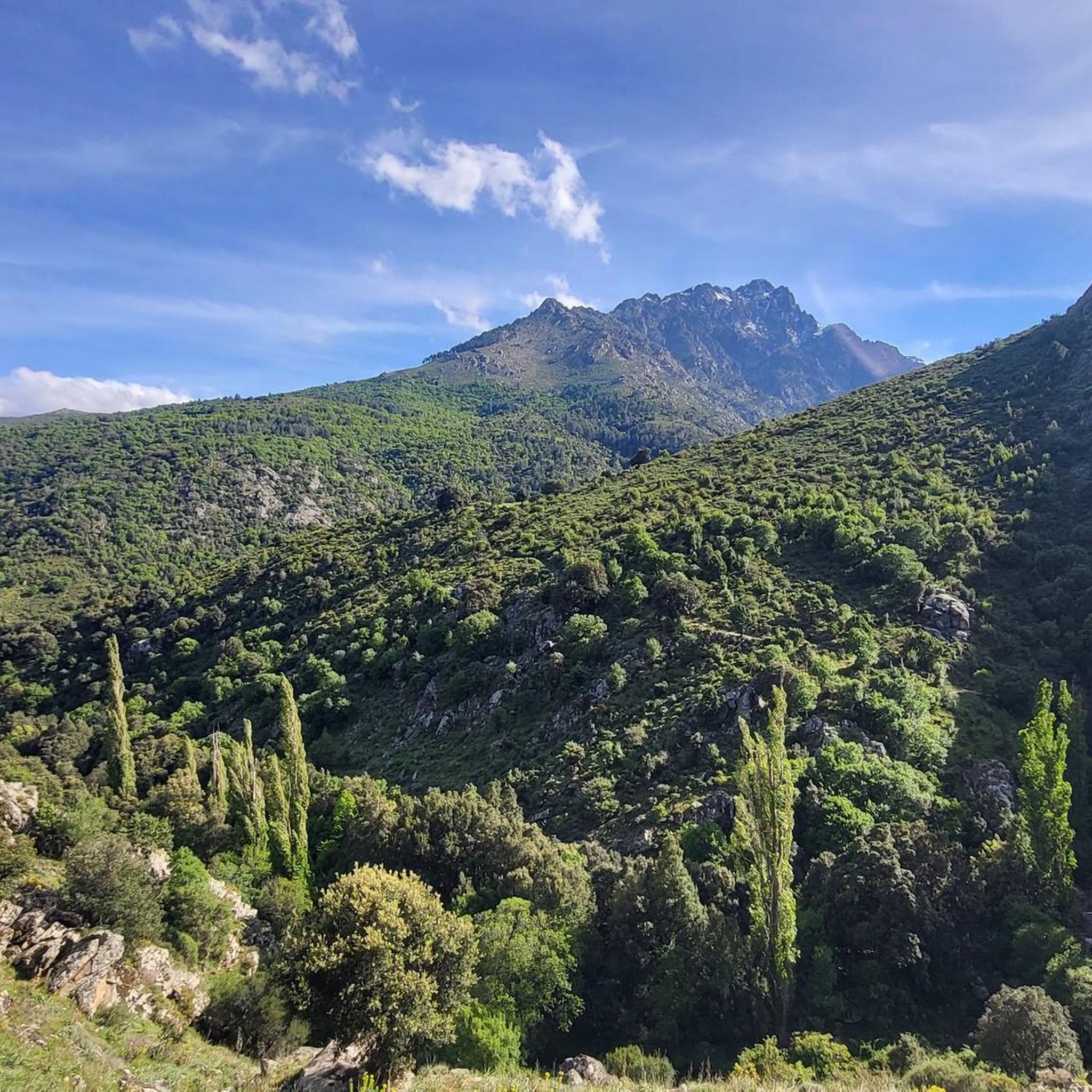
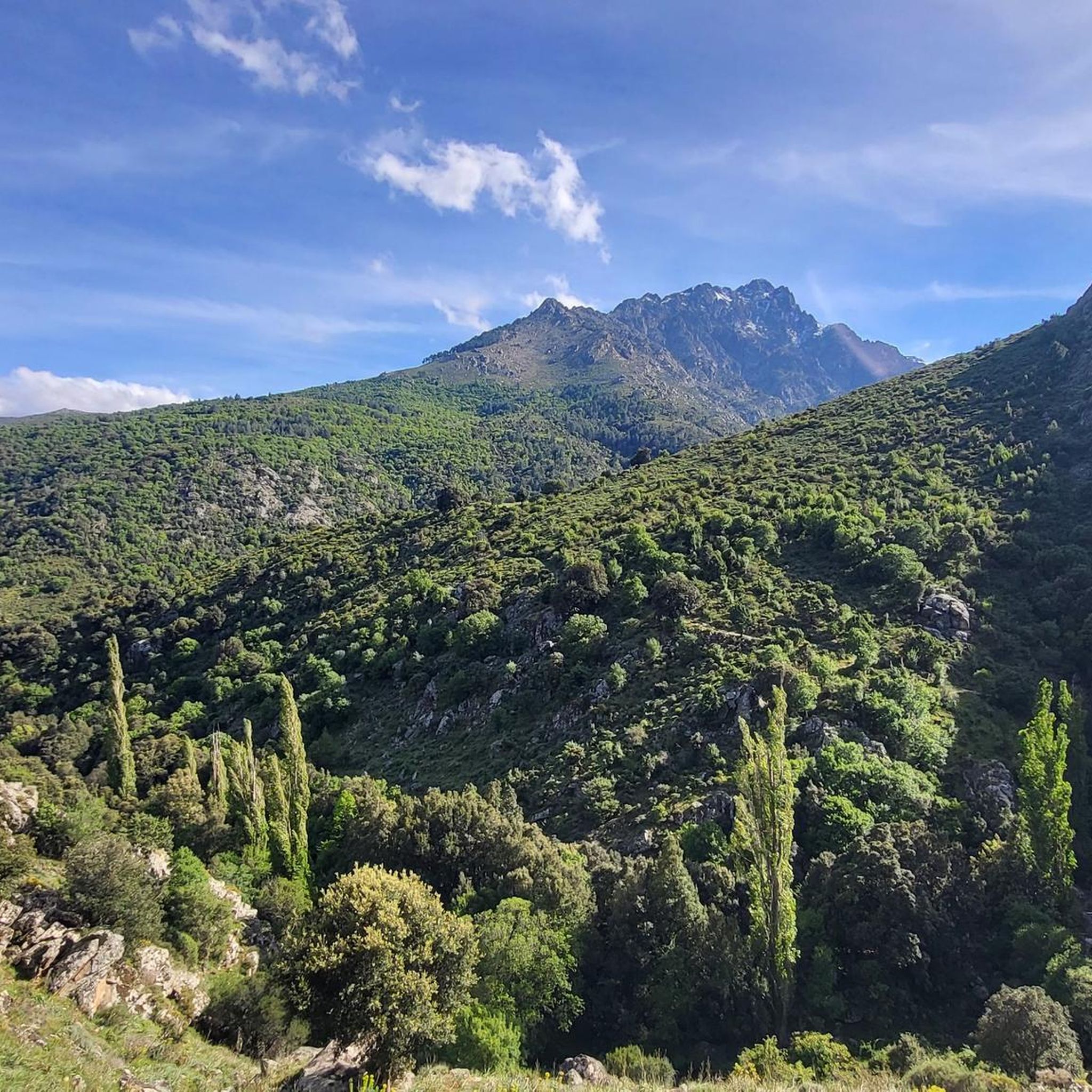
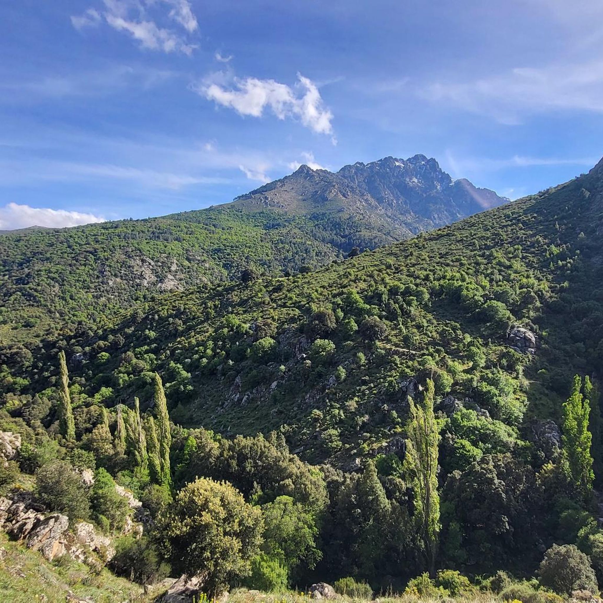
Mountain biking around Mausoléo offers a diverse range of routes within the rugged landscapes of the Haute-Corse department of Corsica. The region is characterized by mountainous terrain, green forests, and powerful running waters, providing varied challenges for riders. Situated within the Regional Natural Park of Corsica, Mausoléo serves as a gateway to trails in the Tartagine Valley, known for its technical and stony paths. This area provides a blend of challenging ascents and descents amidst picturesque natural scenery.
Best mountain…
Last updated: June 28, 2026
5.0
(1)
6
riders
25.6km
02:50
870m
860m
Moderate mountain bike ride. Good fitness required. Suitable for all skill levels.
4.4
(17)
115
riders
53.1km
03:46
1,000m
1,000m
Hard mountain bike ride. Very good fitness required. Suitable for all skill levels.

Sign up for free
4.5
(6)
47
riders
35.5km
02:17
420m
420m
Moderate mountain bike ride. Good fitness required. Suitable for all skill levels.
3.0
(1)
6
riders
25.3km
01:54
500m
500m
Hard mountain bike ride. Good fitness required. Advanced riding skills necessary. Some portions of the route may require you to push your bike.
5.0
(1)
7
riders
39.7km
03:13
710m
700m
Moderate mountain bike ride. Good fitness required. Advanced riding skills necessary.
Get access to more routes and recommendations from other explorers.
Sign up for free
Already have an account?
Our route recommendations are based on thousands of hikes, rides, and runs completed by other people on komoot.
Start today with a free account
Your next adventure awaits.
Login or Signup
Tips from the Community

This is where you enter the trails and paths that crisscross the Reginu Valley. This gateway is your gateway to very wide, open dirt roads that offer incredible terrain for mountain biking (and gravel riding).
0
0
This secluded trail is ideal for admiring the Corsican Regional Natural Park in 360 degrees. The playful and rolling route offers numerous viewpoints of the surrounding peaks such as the Cima di Luda and the Cima di u Cugnolu.
0
0
Olmi-Cappella is a small town nestled among powerful torrents, chestnut trees, holm oaks, and rocks. While this natural setting serves as a backdrop for numerous hikes, Olmi's main attractions remain the church and its dolmens.
0
0
This superb trail alternates between gravel sections and more rocky, technical passages. It immerses you in a wild setting worthy of the Atlas Mountains, with the added bonus of seemingly out-of-this-world views of the sea.
0
0

A popular meeting place for road cyclists and mountain bikers. Here, you can fill your water bottle with genuine Zilia water—slightly chilled, too. Last year, I spoke to a local about the water quality of the fountain. He said it had been tested and was of drinking quality. This was a welcome stop on my leg of the route from Calvi to San Antonino. Further up in the town of Zilia, there's a very small corner shop with a small but very good selection of fruit.
1
0

The municipalities of Lunghignano and Montemaggiore merged in 1972 to form the municipality of Saint-Rainier-de-Balagne. Saint-Rainier-de-Balagne was merged with Cassano on 1 January 1973 to form the municipality of Montegrosso, named after the Monte Grosso mountain range.
1
0
Montegrosso consists of the villages of Montemaggiore/Montemaiò as the main town (381 m), Cassano/Cassani (300 m) and Lunghignano/Lunghignani (340 m). The municipality is located at about 400 meters above sea level and borders Lavatoggio to the north, Cateri and Avapessa to the northeast, Muro to the east, Zilia to the southeast, Calenzana to the southwest, Calvi to the west and Lumio to the northwest.
1
0
Montegrosso (Corsican: Montegrossu) is a municipality on the French island of Corsica. It belongs to the region of Corsica, the department of Haute-Corse, the arrondissement of Calvi and the canton of Calvi. Depending on the district, the residents call themselves Montemaggiorais, Lunghignanais, Cassanais, Montemaiuracci, Lunghignaninchi or Cassaninchi.
1
0
Frequently Asked Questions
How many mountain bike trails are available around Mausoléo?
There are 16 mountain bike trails around Mausoléo, offering a diverse range of routes through the rugged landscapes of Haute-Corse. These include 1 easy, 12 moderate, and 3 difficult routes, catering to various skill levels.
What kind of terrain can I expect on mountain bike trails in Mausoléo?
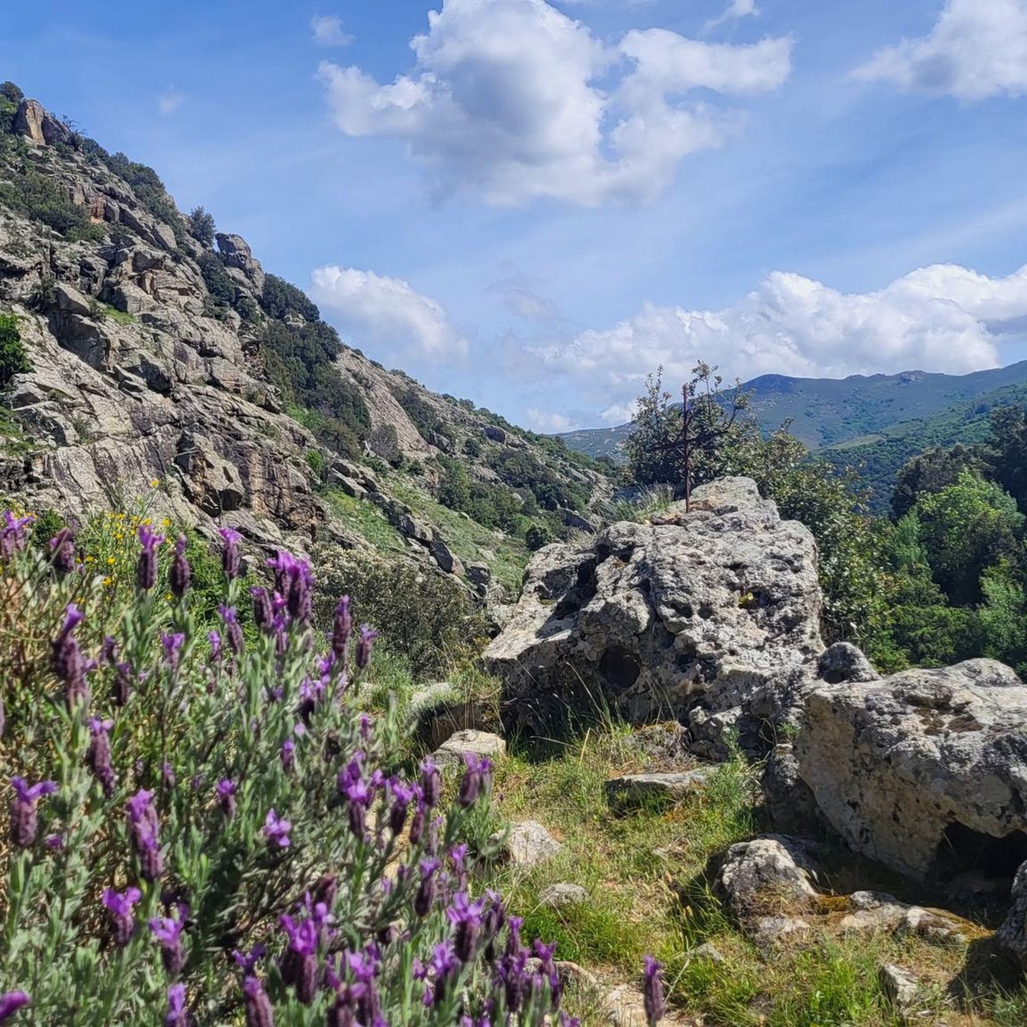
Mountain biking around Mausoléo features rugged mountains, green forests, and powerful running waters. The trails, particularly in the Tartagine Valley, are known for being technical and stony, providing a challenging and engaging experience amidst picturesque natural scenery.
Are there any easy or beginner-friendly mountain bike trails near Mausoléo?
Yes, while many trails offer a challenge, there is at least one easy mountain bike route available. The wider Balagne region, where Mausoléo is located, also offers options for less experienced riders, allowing for a more leisurely experience through scenic areas.
Are there any circular mountain bike routes in the Mausoléo area?
Yes, several routes are designed as loops. For example, the View of Calenzana – Serpentine loop from Calenzana is a moderate 35.5 km path offering panoramic views. Another option is the more challenging Speloncato – Quiet Road with Gentle Slope loop from Belgudè U Pozzatellu, which covers 57.2 km through rugged mountains.
What are some notable natural attractions or landmarks I might see along the trails?
The region is rich in natural beauty and historical elements. You might encounter features like the Genoese Bridge of Asco, or discover natural pools and rock slides within the Parc Naturel Régional de Corse. The Stagnu Pass and Lac d'Argento are also points of interest in the area.
What do other mountain bikers say about the trails around Mausoléo?
The mountain bike trails around Mausoléo are highly rated by the komoot community, with an average score of 4.4 stars from over 40 reviews. Riders often praise the diverse terrain, the challenging nature of the trails, and the stunning natural scenery, especially in the Tartagine Valley.
Are there any mountain bike trails that offer panoramic views?
Absolutely. Many routes in the mountainous region provide breathtaking panoramas. The View of Calenzana – Serpentine loop from Calenzana is specifically noted for its panoramic views and diverse landscapes. You can also find stunning vistas from highlights like the Panorama of the Bonifatu valley.
What is the best time of year for mountain biking in Mausoléo?
The region offers a pleasant climate for outdoor activities. While specific recommendations vary, spring and autumn generally provide the most comfortable temperatures for mountain biking, allowing you to enjoy the fragrant scents of the maquis and the cool freshness of the forests without extreme heat.
Are there any particularly challenging mountain bike trails for experienced riders?
Yes, for experienced riders seeking a challenge, the Speloncato – Quiet Road with Gentle Slope loop from Belgudè U Pozzatellu is a difficult 57.2 km trail through rugged mountains. The Tartagine Valley itself is known for its technical and stony trails, akin to 'trialising trails,' which offer an engaging experience for advanced riders.
Can I find trails that pass by rivers or streams in Mausoléo?
Yes, the area is characterized by powerful running waters and a 'picture-perfect stream flowing down below' the village. Many routes will take you alongside or across these refreshing natural features, adding to the scenic beauty of your ride.
Is Mausoléo part of a larger mountain biking network?
Yes, Mausoléo is situated within the broader Balagne region, which is certified by the French Cycling Federation (FFC). This region offers over 200 km of mountain bike itineraries, ranging from the seaside to the high peaks of Corsica's Regional Natural Park, providing extensive options beyond the immediate Mausoléo area.
Most popular attractions around Mausoléo

Get inspired with the komoot mobile app


Explore more
Browse the best MTB trails in other regions.
