The best mountain hikes around Grésy-Sur-Aix
4.7
(13)
71
hikers
9
hikes
Mountaineering routes around Grésy-Sur-Aix are situated in the Savoie department of France, offering diverse mountainous terrain at the foothills of the Alps, bordering the Bauges massif. The region features prominent peaks such as Mont Revard, rising to 1,563 meters, and the challenging Dent du Chat, providing panoramic views of Lac du Bourget and the Rhône Valley. Access to the wider Bauges, Chartreuse, and Belledonne massifs allows for varied alpine experiences, from summer ridge traverses to winter gully climbs. Natural features…
Last updated: June 27, 2026
4.5
(4)
23
hikers
7.43km
04:00
660m
660m
Hard mountaineering route. Good fitness required. Sure-footedness, sturdy shoes and alpine experience required.
4.0
(2)
20
hikers
6.25km
01:50
170m
170m
Easy mountaineering route. Great for any fitness level. Easily-accessible paths. Suitable for all skill levels.

Sign up for free
5.0
(1)
5
hikers
9.32km
02:51
290m
290m
Hard mountaineering route. Good fitness required. Sure-footedness, sturdy shoes and alpine experience required.
4.8
(4)
7
hikers
8.30km
02:28
250m
250m
Moderate mountaineering route. Good fitness required. Easily-accessible paths. Suitable for all skill levels.
4
hikers
10.4km
04:02
670m
670m
Moderate mountaineering route. Good fitness required. Mostly accessible paths. Sure-footedness required.
Get access to more routes and recommendations from other explorers.
Sign up for free
Already have an account?
Our route recommendations are based on thousands of hikes, rides, and runs completed by other people on komoot.
Start today with a free account
Your next adventure awaits.
Login or Signup
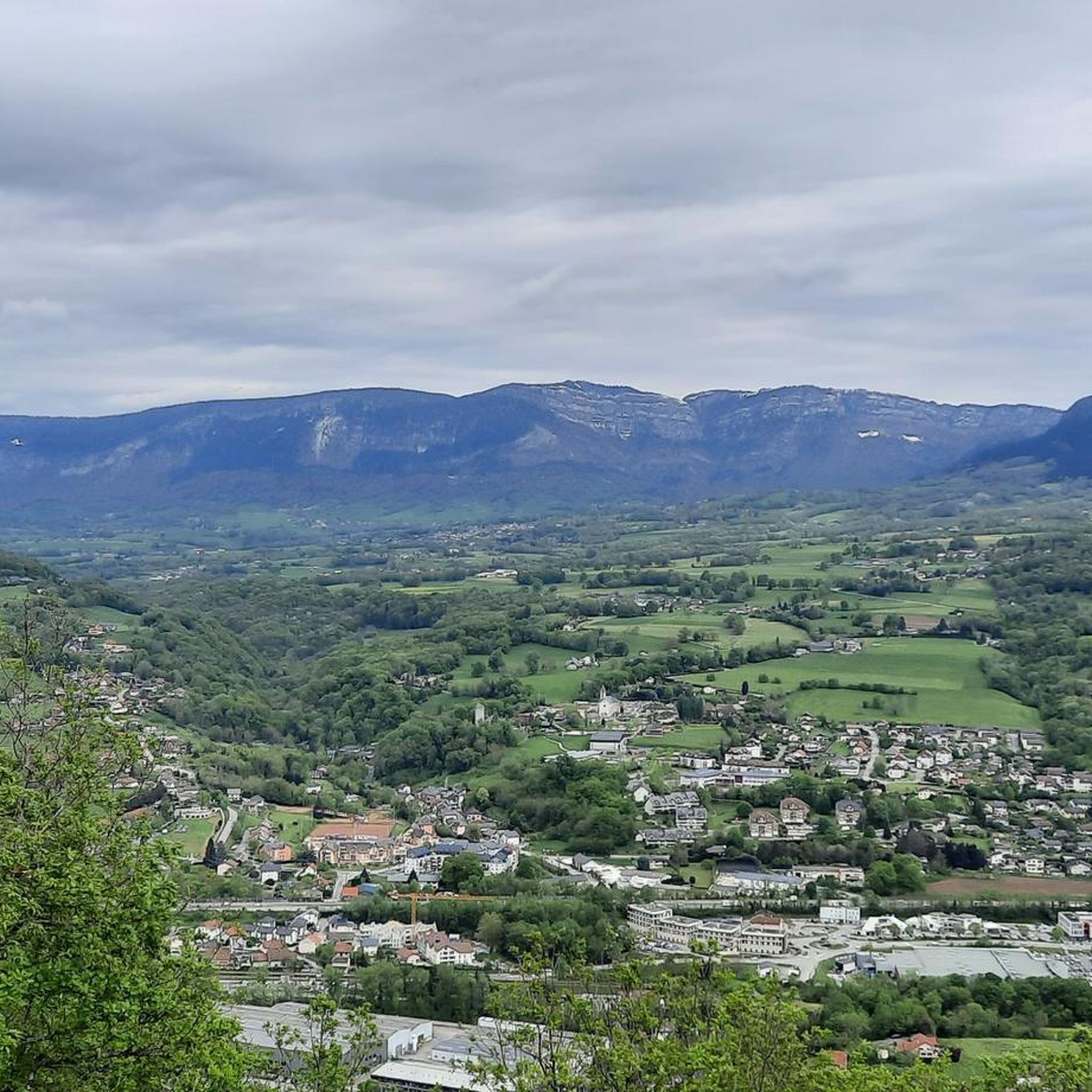
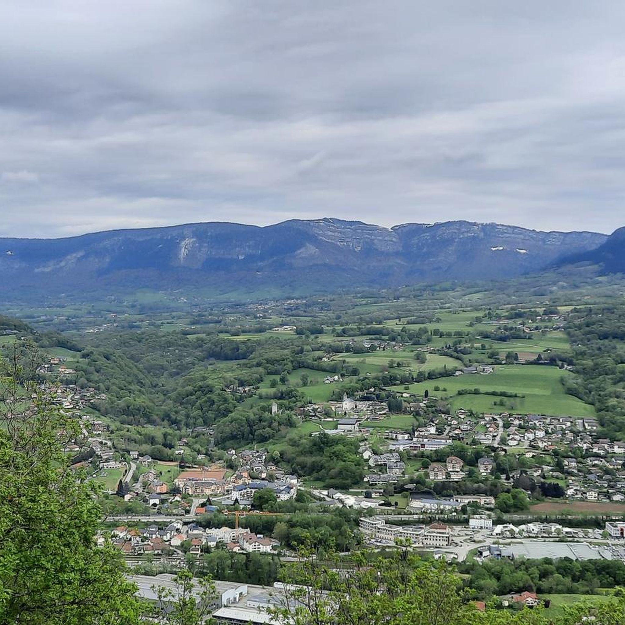
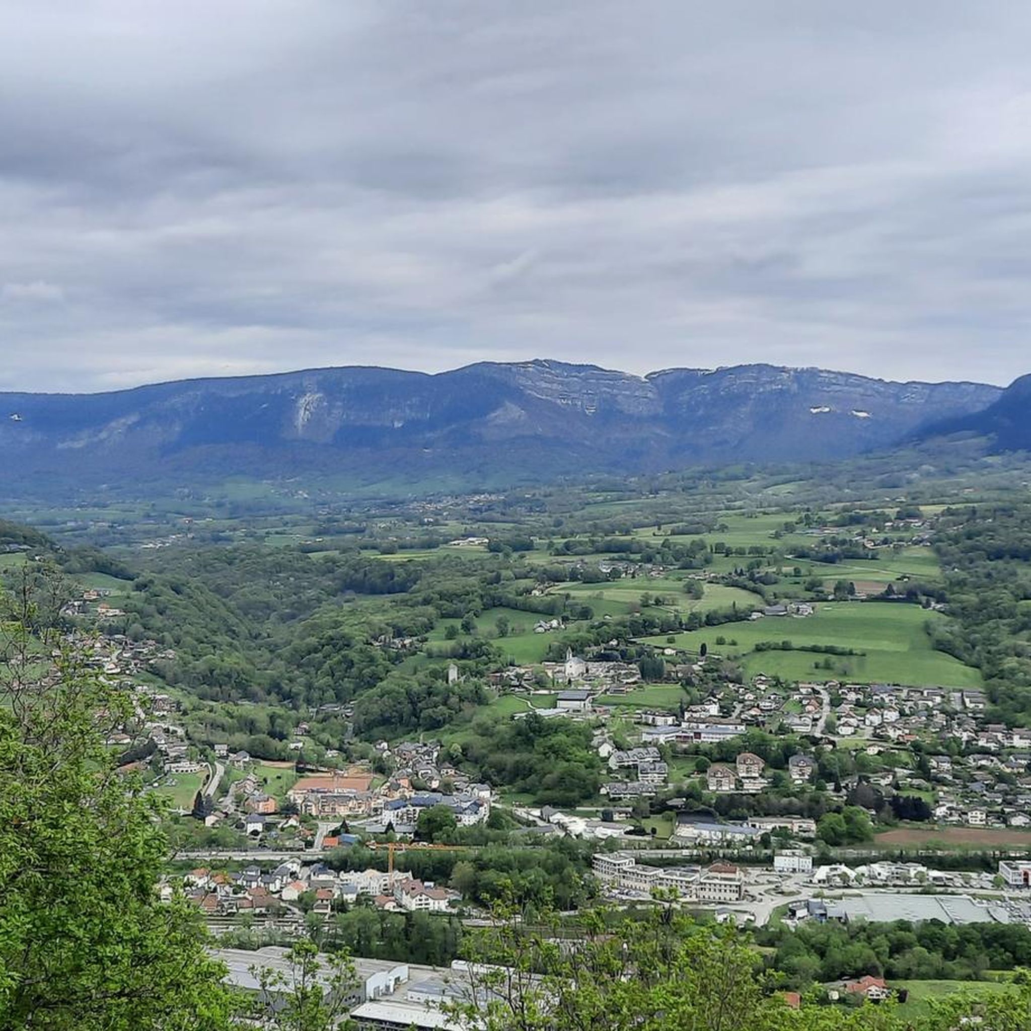

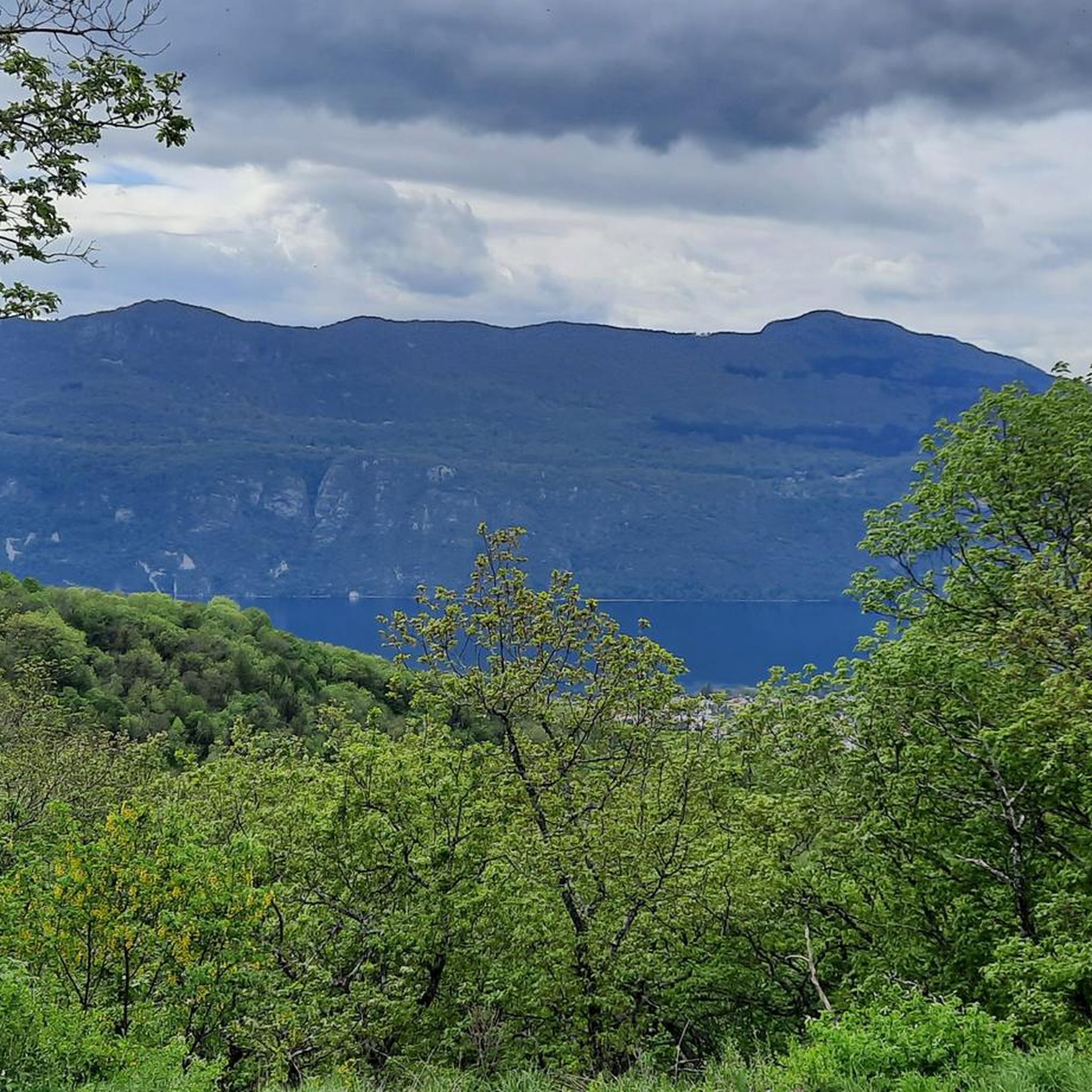
Tips from the Community

Friendly welcome and exceptional view. Ideal for a stop at midday or in the evening. Attention, remember to book. Water point appreciated just below at the farm level.
0
0

Avoid taking this path, it is dangerous, very steep and slippery with pebbles.
0
0

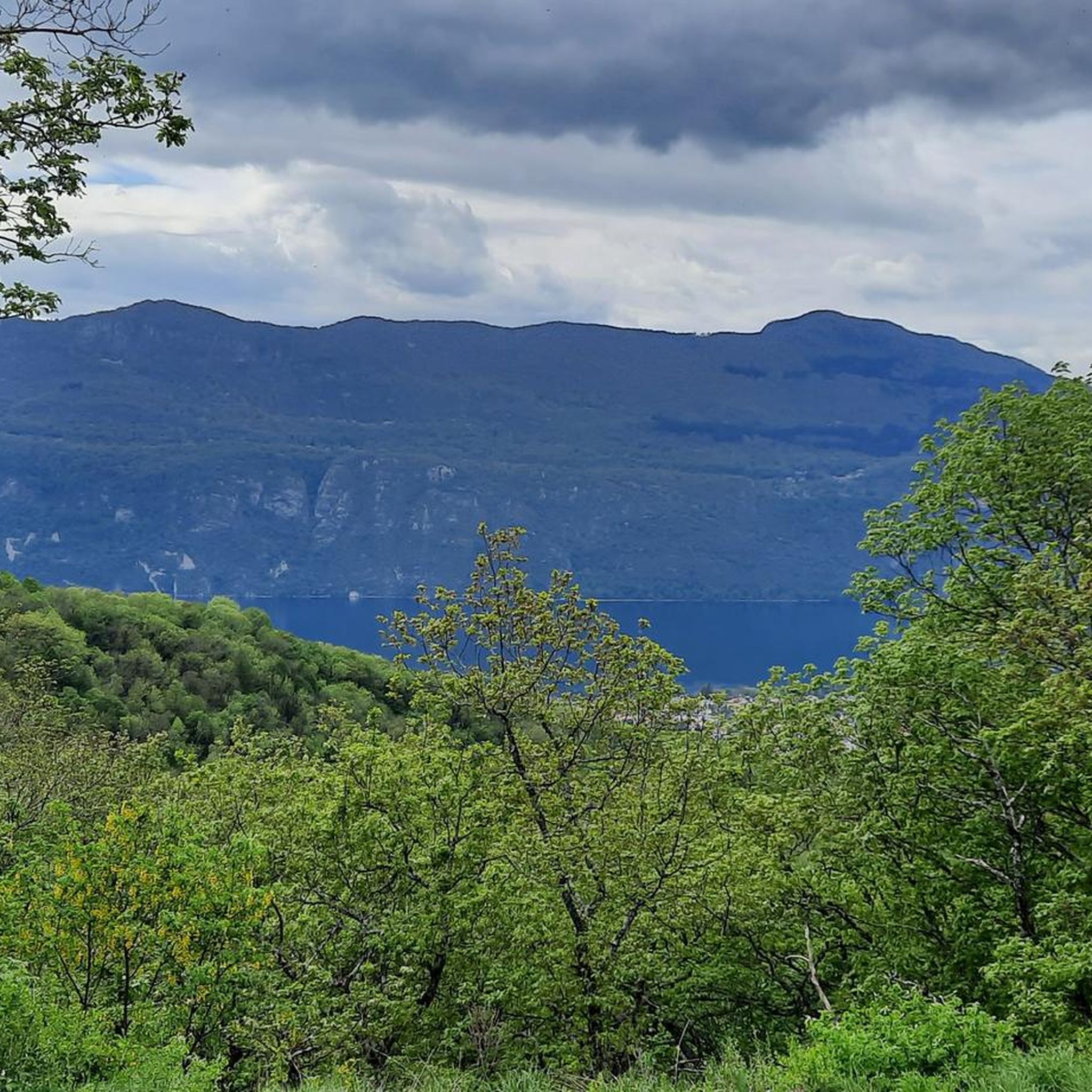
Magnificent view of Chambéry and Lake Bourget A lovely picnic area
0
0

Beautiful view of the lake.
0
0

Don't forget that even if it's in the mid-mountains, you need to be equipped for the weather, good shoes, and good physical condition.
0
0

It's a must-see place with a magnificent view of Lake Bourget.
1
0

Aerial passage via ladders with gas, not recommended for beginners. Avoid summer weekends, as crowded conditions can cause traffic jams.
0
0
Frequently Asked Questions
What kind of mountaineering routes can I find around Grésy-Sur-Aix?
Grésy-Sur-Aix offers a diverse range of mountaineering routes, from easier ascents to challenging alpine experiences. The region, situated at the foothills of the Alps, provides access to prominent peaks like Mont Revard and the more demanding Dent du Chat. You'll find options for various skill levels, including routes that traverse varied terrain and offer significant elevation gains.
Are there mountaineering routes suitable for beginners near Grésy-Sur-Aix?
Yes, there is at least one easy mountaineering route available. For instance, the Mount Kamuniak – Nivolet Cross loop from Chambéry is an easy trail leading through mountainous landscapes, typically completed in under two hours. This route is a good starting point for those new to mountaineering in the area.
What are some challenging mountaineering routes for experienced climbers?
For experienced mountaineers seeking a challenge, the region offers several difficult routes. The Col du Chat (Chat Pass) – Cat's Tooth loop from Bourdeau is a difficult route with significant elevation gain and stunning views of Lac du Bourget. Another demanding option is the La Féclaz – Nivolet Cross loop from Chambéry, which also presents a considerable challenge.
Are there any circular mountaineering routes in the Grésy-Sur-Aix area?
Yes, many of the mountaineering routes around Grésy-Sur-Aix are designed as loops. Examples include the Col du Chat (Chat Pass) – Cat's Tooth loop from Bourdeau, the La Culaz – Fenêtre des Pendants loop from Arith, and the Nivolet Cross – Nivolet Refuge loop from Chambéry. These circular routes allow you to start and finish at the same point, offering convenient exploration of the diverse terrain.
What natural features and landmarks can I expect to see along the mountaineering routes?
The region is rich in natural beauty and notable landmarks. You can expect panoramic views of Lac du Bourget, France's largest natural lake, from many trails. Prominent peaks like Mont Revard and Cat's Tooth offer breathtaking vistas. You might also encounter scenic mountain passes such as Col du Chat (638 m) and Chambotte Pass, which provide expansive views of the surrounding Alps.
What is the best time of year for mountaineering in Grésy-Sur-Aix?
The best time for mountaineering largely depends on your experience and the type of route you plan to undertake. Summer offers opportunities for ridge traverses and major routes in the Bauges, Chartreuse, and Belledonne massifs. Winter mountaineering is also possible, with options for gullies, icefalls, and mixed ridges, though these require specific skills and gear. Always check local weather conditions and trail status before heading out.
Are there any family-friendly mountaineering options in the area?
While many routes are geared towards more experienced mountaineers, the broader region around Grésy-Sur-Aix does offer less strenuous outdoor experiences. For families, areas like the Gorges du Sierroz provide pleasant walks along the Sierroz River, and the Corsuet forest is home to the Grotte aux Fées hike, which offers incredible lake views. These are generally more accessible than the demanding mountaineering routes.
What do other mountaineers enjoy most about the routes around Grésy-Sur-Aix?
The mountaineering routes around Grésy-Sur-Aix are highly rated by the komoot community, with an average score of 4.7 stars from over 10 reviews. Mountaineers often praise the diverse terrain, the stunning panoramic views of Lac du Bourget and the Alps, and the variety of options available for different skill levels, from moderate climbs to challenging alpine adventures.
Is public transport available to reach the starting points of mountaineering routes?
Grésy-Sur-Aix is conveniently located, and the wider alpine regions are easily accessible from Aix-les-Bains. While specific public transport details for each trailhead are not provided, it's advisable to check local bus services or regional train connections from larger towns like Aix-les-Bains or Chambéry, as some routes, like those starting from Chambéry, might be more accessible by public transport.
Do I need a permit for mountaineering in the Grésy-Sur-Aix area?
Generally, for standard mountaineering routes in the Grésy-Sur-Aix region and the surrounding massifs like Bauges, Chartreuse, and Belledonne, specific permits are not typically required for access. However, if you plan to undertake highly technical climbs, guided expeditions, or enter protected natural reserves, it's always best to verify with local authorities or mountain guides for any specific regulations or access restrictions that might apply.
Are there any routes that offer views of waterfalls or gorges?
Yes, the region features the Gorges du Sierroz, a highly touristic site near Grésy-Sur-Aix. While not a mountaineering route in the traditional sense, it offers opportunities for pleasant walks along the Sierroz River, showcasing magnificent landscapes and waterfalls. This area provides a different, less strenuous outdoor experience with beautiful natural water features.
How long do mountaineering routes near Grésy-Sur-Aix typically take to complete?
The duration of mountaineering routes varies significantly based on their difficulty and length. For example, an easy route like the Mount Kamuniak – Nivolet Cross loop from Chambéry can be completed in about 1 hour 50 minutes. More challenging routes, such as the Col du Chat (Chat Pass) – Cat's Tooth loop from Bourdeau, typically take around 4 hours. Always check the estimated duration for your chosen route and factor in your own pace and breaks.
Most popular routes around Grésy-Sur-Aix
Most popular attractions around Grésy-Sur-Aix

Get inspired with the komoot mobile app


Explore more
Browse the best Mountain Hikes & Routes in other regions.
