The best walks and hikes around Grésy-Sur-Aix
4.5
(2093)
25,056
hikers
13
hikes
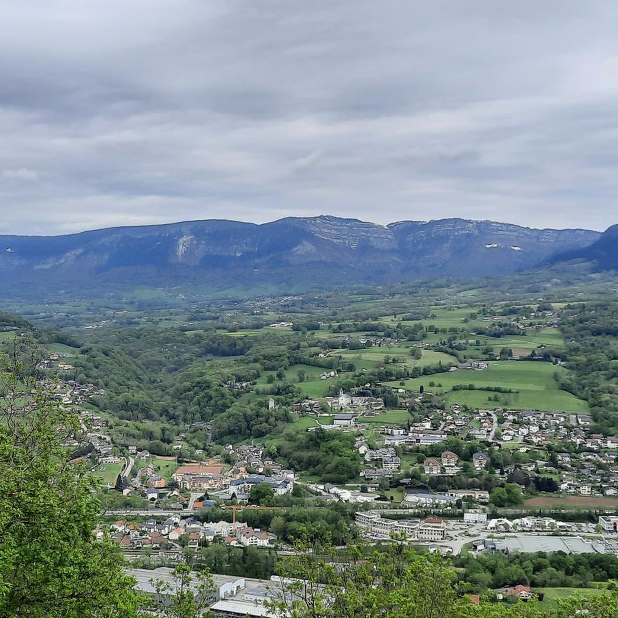
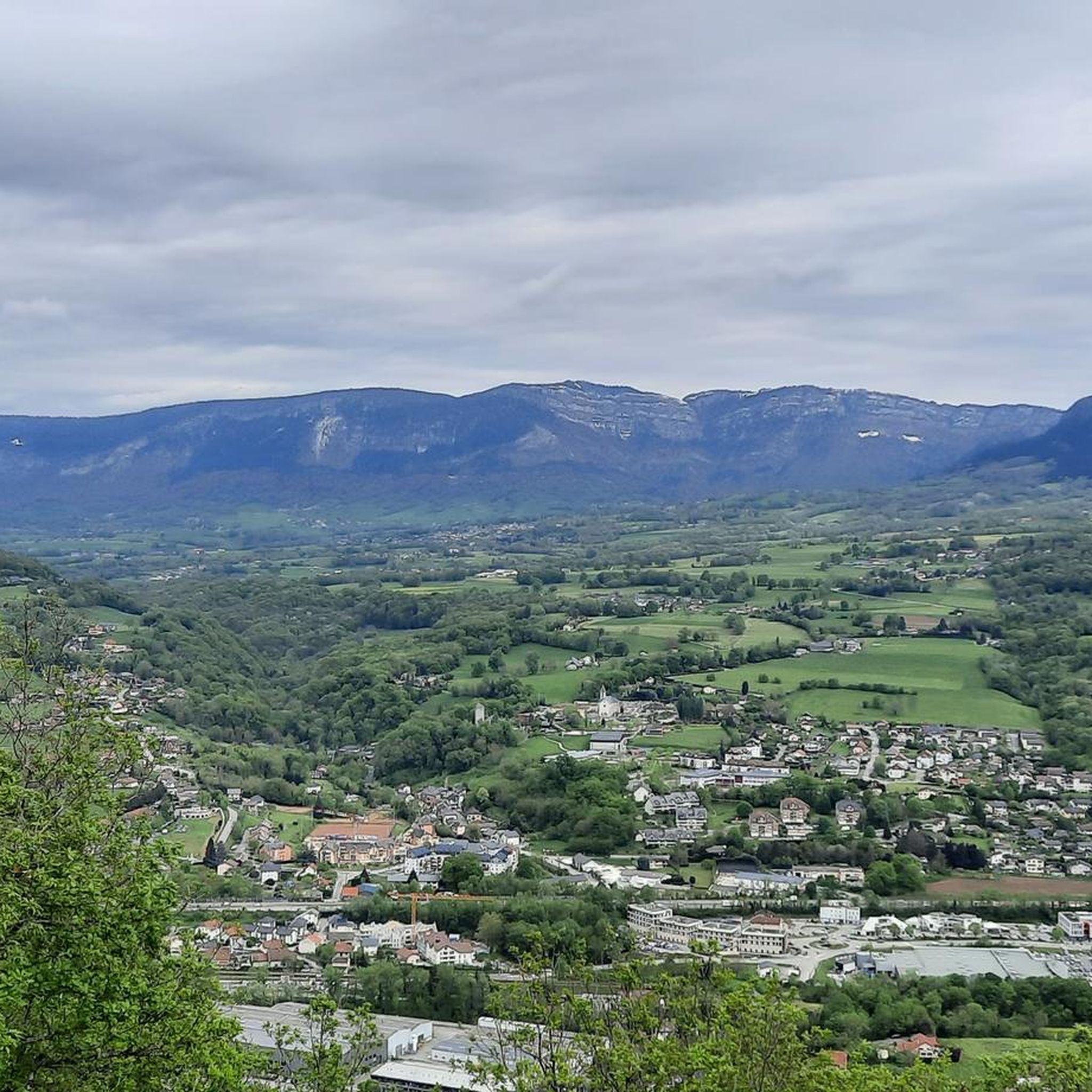
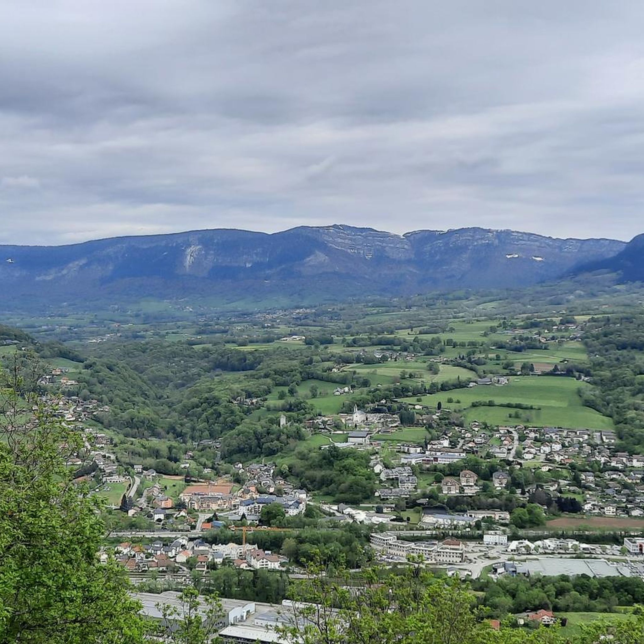
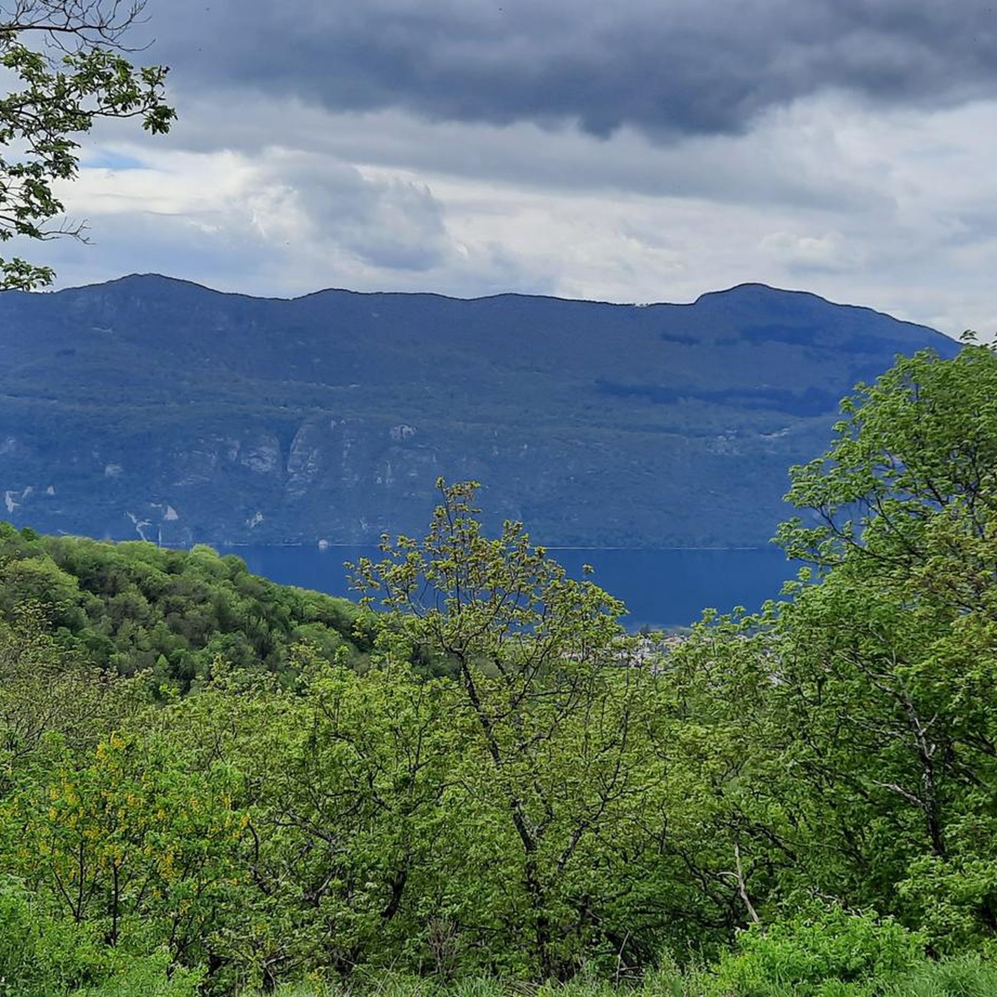
Hiking around Grésy-Sur-Aix offers diverse landscapes, characterized by mountainous terrain, forests, and prairies. The region is situated near Lac du Bourget, France's largest natural lake, providing panoramic views from various points. Hikers can explore areas ranging from the Corsuet hill to the Mont Revard massif, with trails winding through varied elevations.
Best hiking trails around Grésy-Sur-Aix
- The most popular hiking route is Fairies' Cave – New Meyrieu Cross loop from Corsuet, a 7.4 miles (11.9 km) difficult trail that takes 4 hours 9 minutes to complete. This route features significant elevation gain and views of the surrounding area.
- Another top favourite among local hikers is Bottine Pass – Rack Railway Path loop from Pugny-Chatenod, a moderate 6.3 miles (10.2 km) path. This trail follows an old cogwheel railway line, offering a peaceful walk under tree canopies.
- Local hikers also love the View of Lake Bourget loop from Brison-Saint-Innocent, a 3.2 miles (5.2 km) trail leading through varied terrain, often completed in about 1 hour 40 minutes.
- Hiking around Grésy-Sur-Aix is defined by mountainous terrain, views of Lac du Bourget, and dense forests. The network offers options for different ability levels, from easy strolls to more challenging mountain hikes.
- The routes in Grésy-Sur-Aix are highly rated by the komoot community with an average score of 4.5 stars from more than 1,900 reviews. More than 23,000 hikers have used komoot to explore Grésy-Sur-Aix's varied terrain.
Last updated: July 9, 2026
4
hikers
10.8km
03:42
490m
490m
Hard hike. Good fitness required. Sure-footedness, sturdy shoes and alpine experience required.
5.0
(22)
318
hikers
2.44km
00:38
20m
20m
Easy hike. Great for any fitness level. Easily-accessible paths. Suitable for all skill levels.

Sign up for free
4.5
(2)
18
hikers
10.4km
03:13
370m
370m
Hard hike. Good fitness required. Sure-footedness, sturdy shoes and alpine experience required.
3.7
(3)
11
hikers
4.42km
01:10
30m
30m
Easy hike. Great for any fitness level. Easily-accessible paths. Suitable for all skill levels.
3.0
(1)
4
hikers
21.8km
06:24
480m
480m
Hard hike. Very good fitness required. Sure-footedness, sturdy shoes and alpine experience required.
Get access to more routes and recommendations from other explorers.
Sign up for free
Already have an account?
Our route recommendations are based on thousands of hikes, rides, and runs completed by other people on komoot.
Start today with a free account
Your next adventure awaits.
Login or Signup


Tips from the Community

Wonderful walking, hiking and cycling path along the Lac de Bourget.
0
0

The bike path is great for walking along the lake. The views are magnificent.
3
0

peaceful natural walk, far from the hustle and bustle, progress slowly to discover a multitude of plant species.
0
1


Loop route from Brison town hall.
0
0


Great walk with the fairy cave. Good climbs therefore good descents
0
1
Frequently Asked Questions
How many hiking trails are available around Grésy-Sur-Aix?
There are over 500 hiking routes around Grésy-Sur-Aix, offering a wide variety of options for all skill levels. This includes more than 200 easy routes, over 250 moderate trails, and around 80 challenging hikes.
Are there easy hiking trails suitable for families or beginners?
Yes, Grésy-Sur-Aix offers numerous easy trails perfect for families and beginners. A good option is the View of Lake Bourget loop from Brison-Saint-Innocent, which is 5.2 km long and takes about 1 hour 40 minutes, providing lovely views without significant difficulty.
What kind of views can I expect on hikes in Grésy-Sur-Aix?
Hikers can expect breathtaking panoramic views of Lac du Bourget, France's largest natural lake, and the surrounding mountainous terrain, including the Mont Revard massif and the Dent du Chat. Many trails offer vistas from points like the Chambotte Pass or the Col du Chat. The Orionde Viewpoint and Pierre Nioule – View of Lake Bourget and Aix-les-Bains are popular spots for scenic overlooks.
Are there any challenging hikes for experienced trekkers?
Absolutely. For experienced hikers seeking a challenge, the area provides several difficult routes. The Fairies' Cave – New Meyrieu Cross loop from Corsuet is a demanding 11.9 km trail with significant elevation gain, typically taking over 4 hours to complete. Another challenging option is the Corsuet Cross – New Meyrieu Cross loop from Aix-les-Bains, which spans 24.2 km.
Can I find circular hiking routes in Grésy-Sur-Aix?
Yes, many of the trails around Grésy-Sur-Aix are circular, allowing you to start and end at the same point. Examples include the Bottine Pass – Rack Railway Path loop from Pugny-Chatenod, a moderate 10.2 km route, and the Corsuet Cross – Fairies' Cave loop from Brison-Saint-Innocent, a 6.6 km difficult hike.
Are there any natural attractions like waterfalls or gorges to explore?
Yes, a significant natural attraction is the Gorges du Sierroz, which offers a unique walking experience along walkways revealing rich vegetation and waterfalls tumbling into the Sierroz river. The 1.8 km trail through the gorges is accessible and provides a refreshing escape.
What are some unique landmarks or points of interest along the trails?
Beyond the stunning lake views, you can explore the Fairies' Cave, located in the undergrowth of the Corsuet hill, offering magnificent views of Lac du Bourget. The Rochetaillée Passage is another notable natural monument. You might also encounter the Butte Saint-Romain and Chapel, adding a historical touch to your hike.
What do other hikers say about the trails in Grésy-Sur-Aix?
The hiking trails in Grésy-Sur-Aix are highly rated by the komoot community, with an average score of 4.5 stars from over 1,900 reviews. Hikers often praise the diverse landscapes, the stunning views of Lac du Bourget, and the variety of routes catering to different fitness levels.
Is it possible to reach trailheads using public transport?
While Grésy-Sur-Aix is well-connected, specific public transport options directly to all trailheads may vary. It's advisable to check local bus schedules or regional transport services for routes connecting to the starting points of your chosen hikes, especially for those further from the town center.
What is the best season for hiking in Grésy-Sur-Aix?
The best seasons for hiking in Grésy-Sur-Aix are generally spring, summer, and autumn. Spring offers lush greenery and blooming flowers, while summer provides warm weather for enjoying the lake views. Autumn brings vibrant foliage. Winter hiking is possible, but some higher-altitude trails may require appropriate gear due to snow or ice.
Are there any routes that follow historical paths?
Yes, some routes in the area follow historical paths. For instance, the Bottine Pass – Rack Railway Path loop from Pugny-Chatenod traces an old cogwheel railway line, offering a unique historical perspective amidst peaceful natural surroundings.
Most popular routes around Grésy-Sur-Aix
Most popular attractions around Grésy-Sur-Aix

Get inspired with the komoot mobile app


Explore more
Browse the best Hikes in other regions.
